Elevation of Mount Hutton, Canterbury, New Zealand
Location: New Zealand > Canterbury > Mackenzie District > Mount Cook National Park >
Longitude: 170.390833
Latitude: -43.603333
Elevation: 2821m / 9255feet
Barometric Pressure: 72KPa
Elevation Map:
Satellite Map:
Related Photos:
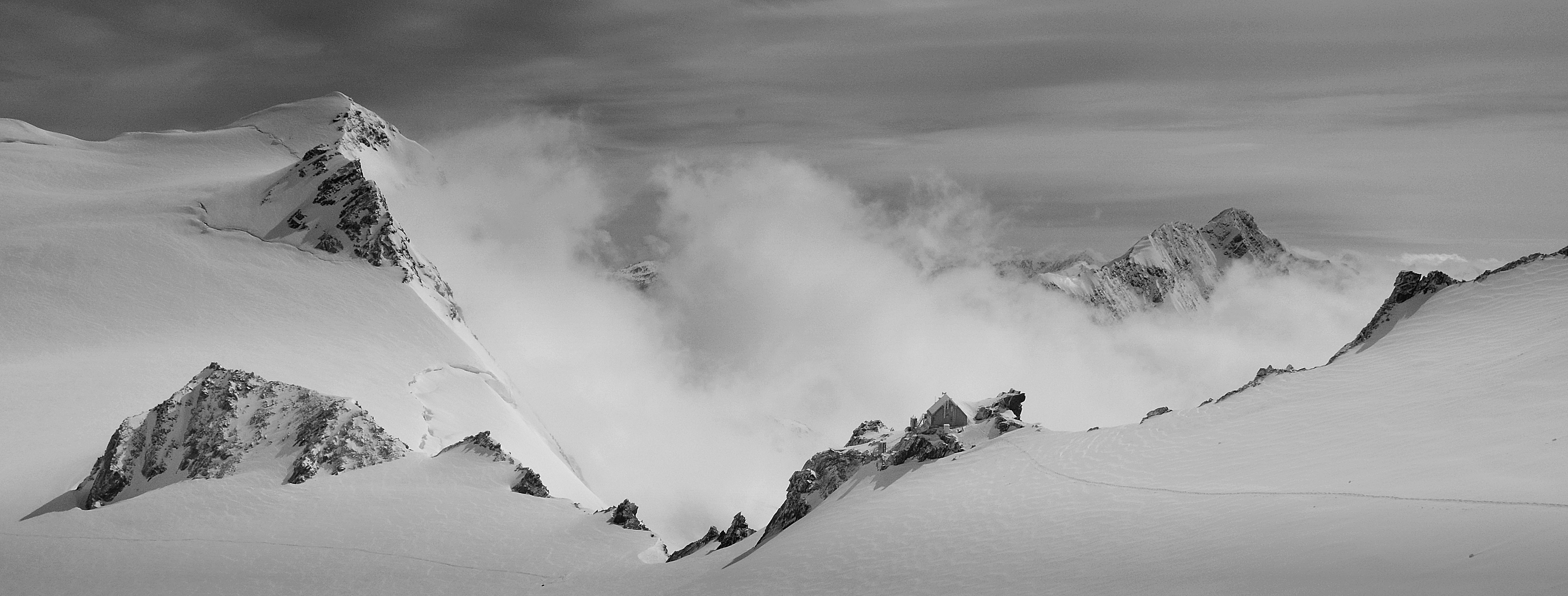
Kelman Hut - view large

Mt Tasman, South Island, New Zealand (Yahoo Editorial: Mountain Views 6Jan14, Explore 5Jan14)
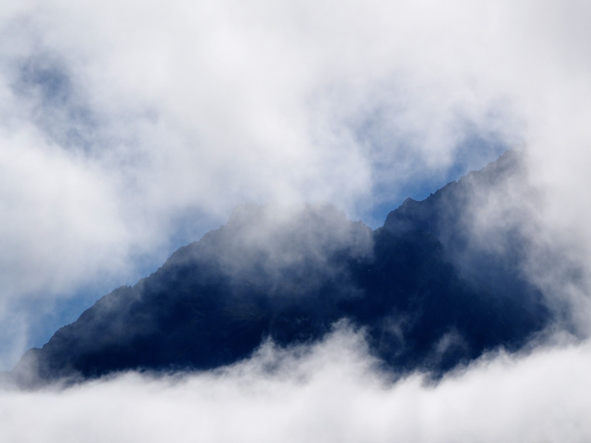
Peak through the clouds

2014-09-11 New Zealand - 147

2014-09-11 New Zealand - 154
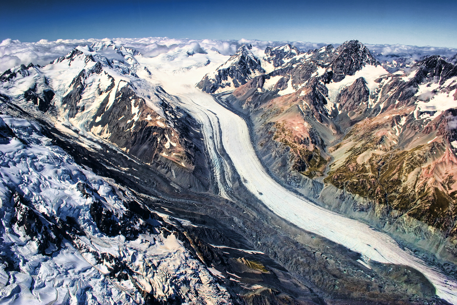
Mount Cook (Aoraki) II - the curve of the earth
Topographic Map of Mount Hutton, Canterbury, New Zealand
Find elevation by address:

Places near Mount Hutton, Canterbury, New Zealand:
The Nuns Veil
Gammack
Tekapo Springs
Church Of The Good Shepherd
Lake Tekapo
Mantra Lake Tekapo
Tekapo
Sawdon Station Accommodation Lake Tekapo
Lake Pukaki
Mackenzie District
185 Ashwick Flat Rd
Ashwick Flat
Fairlie
Mount Harper
35 Mount Michael Rd
Canterbury
Mount Sutton
Geraldine
122 Ashburton Gorge Road
Mount Somers
Recent Searches:
- Elevation of Corso Fratelli Cairoli, 35, Macerata MC, Italy
- Elevation of Tallevast Rd, Sarasota, FL, USA
- Elevation of 4th St E, Sonoma, CA, USA
- Elevation of Black Hollow Rd, Pennsdale, PA, USA
- Elevation of Oakland Ave, Williamsport, PA, USA
- Elevation of Pedrógão Grande, Portugal
- Elevation of Klee Dr, Martinsburg, WV, USA
- Elevation of Via Roma, Pieranica CR, Italy
- Elevation of Tavkvetili Mountain, Georgia
- Elevation of Hartfords Bluff Cir, Mt Pleasant, SC, USA