Elevation of Mount Sutton, Canterbury, New Zealand
Location: New Zealand > Canterbury > Kirkliston >
Longitude: 170.406666
Latitude: -44.489166
Elevation: 1663m / 5456feet
Barometric Pressure: 83KPa
Elevation Map:
Satellite Map:
Related Photos:
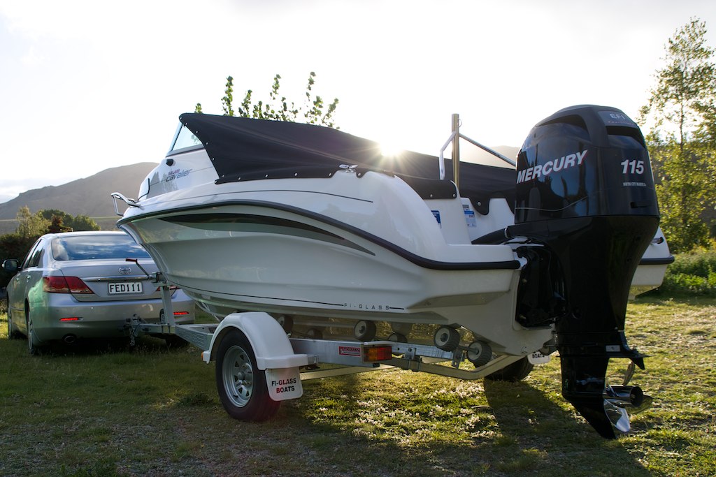
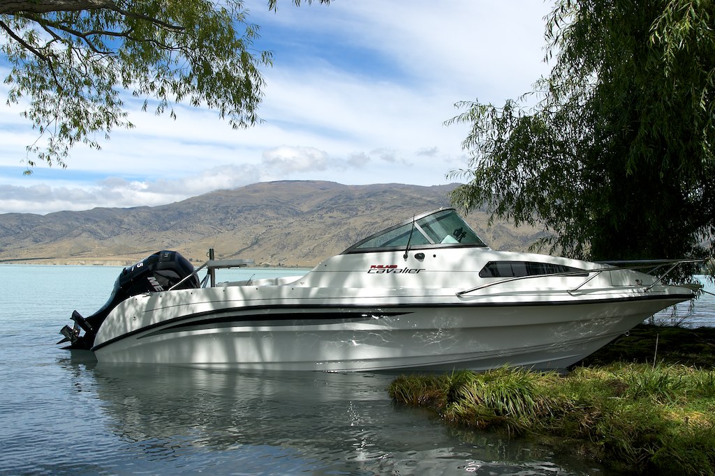
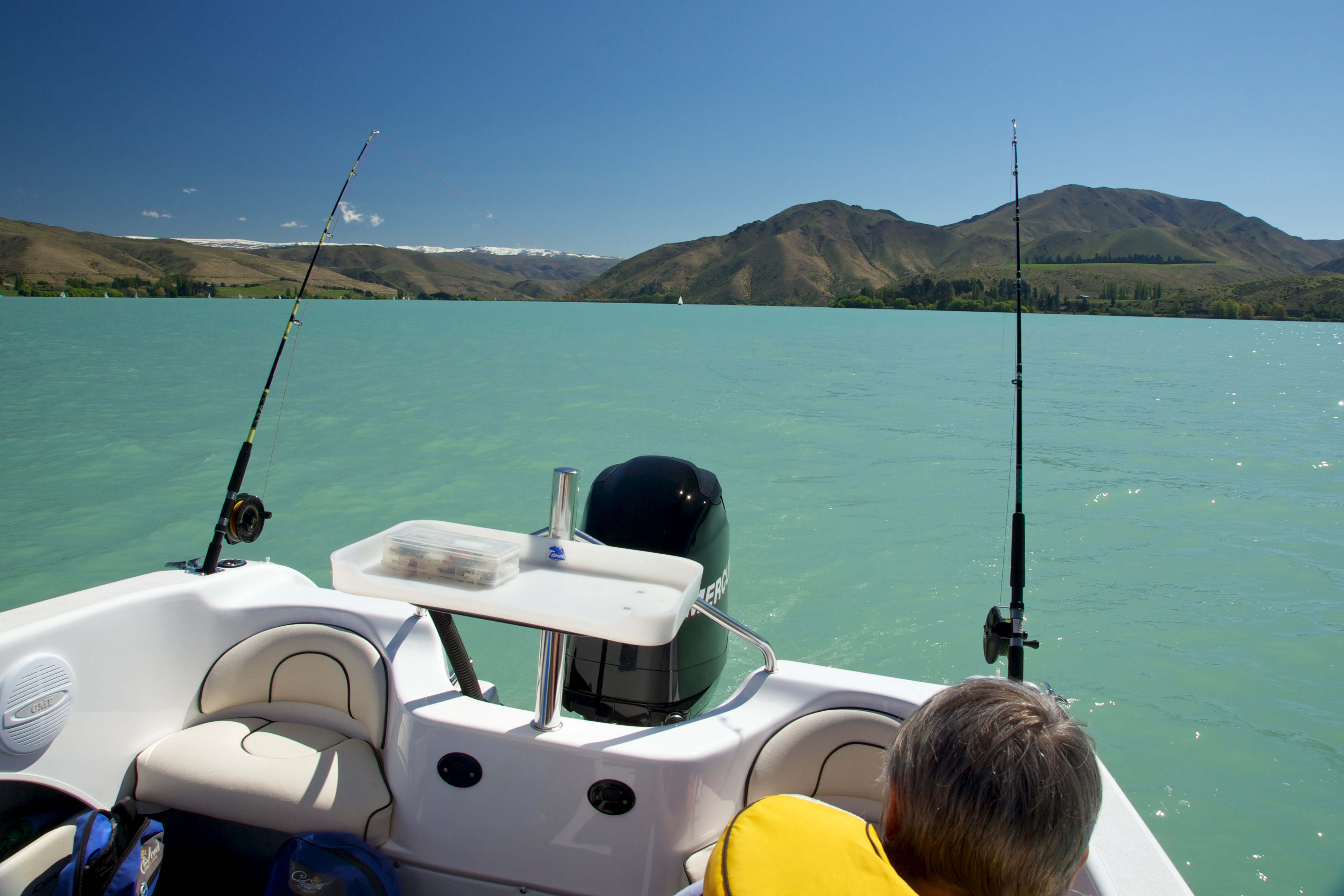
Back view of boat
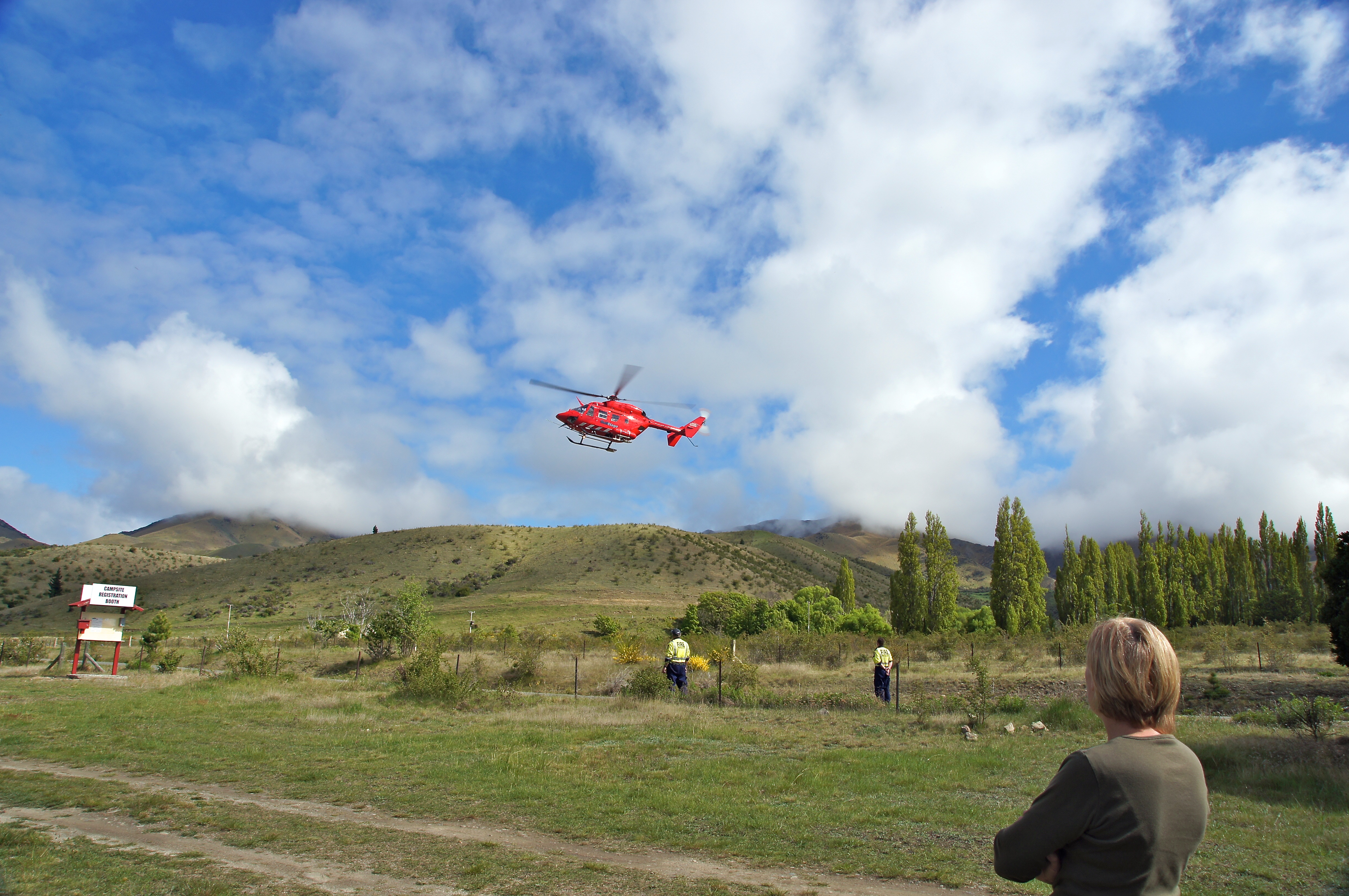
Otago Rescue Helicopter
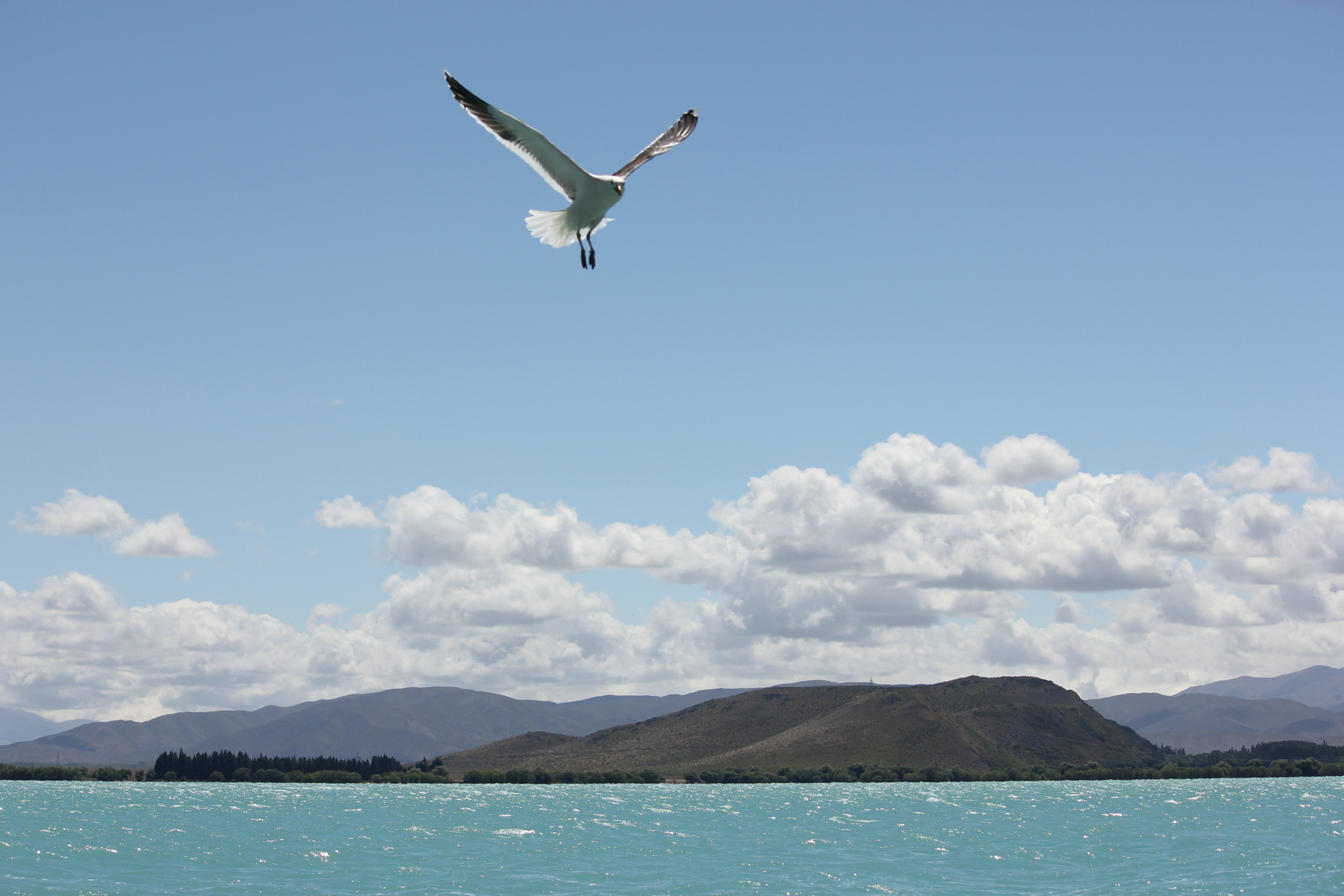
Seagull & Hills / Lake Benmore
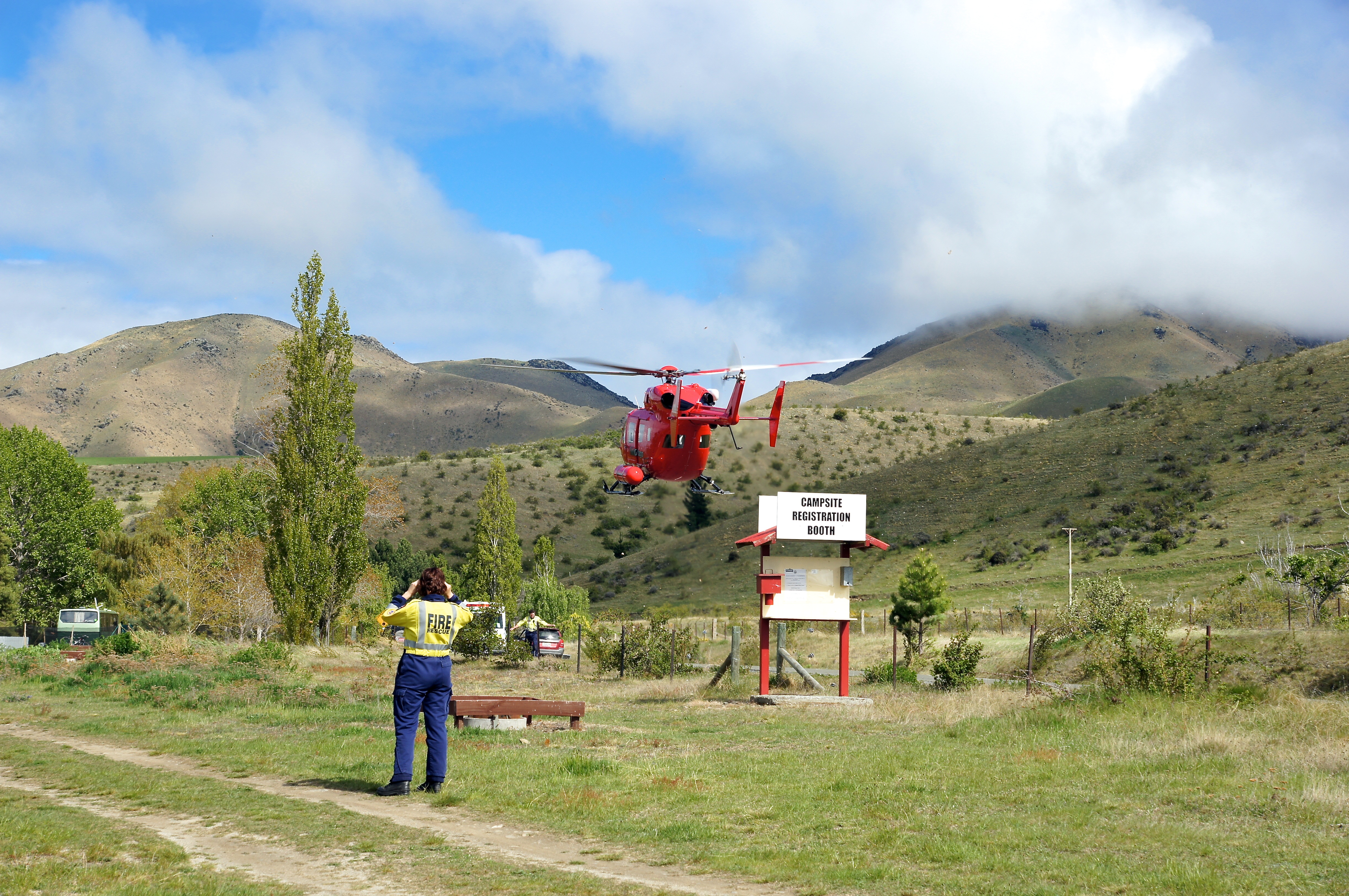
Otago Rescue Helicopter
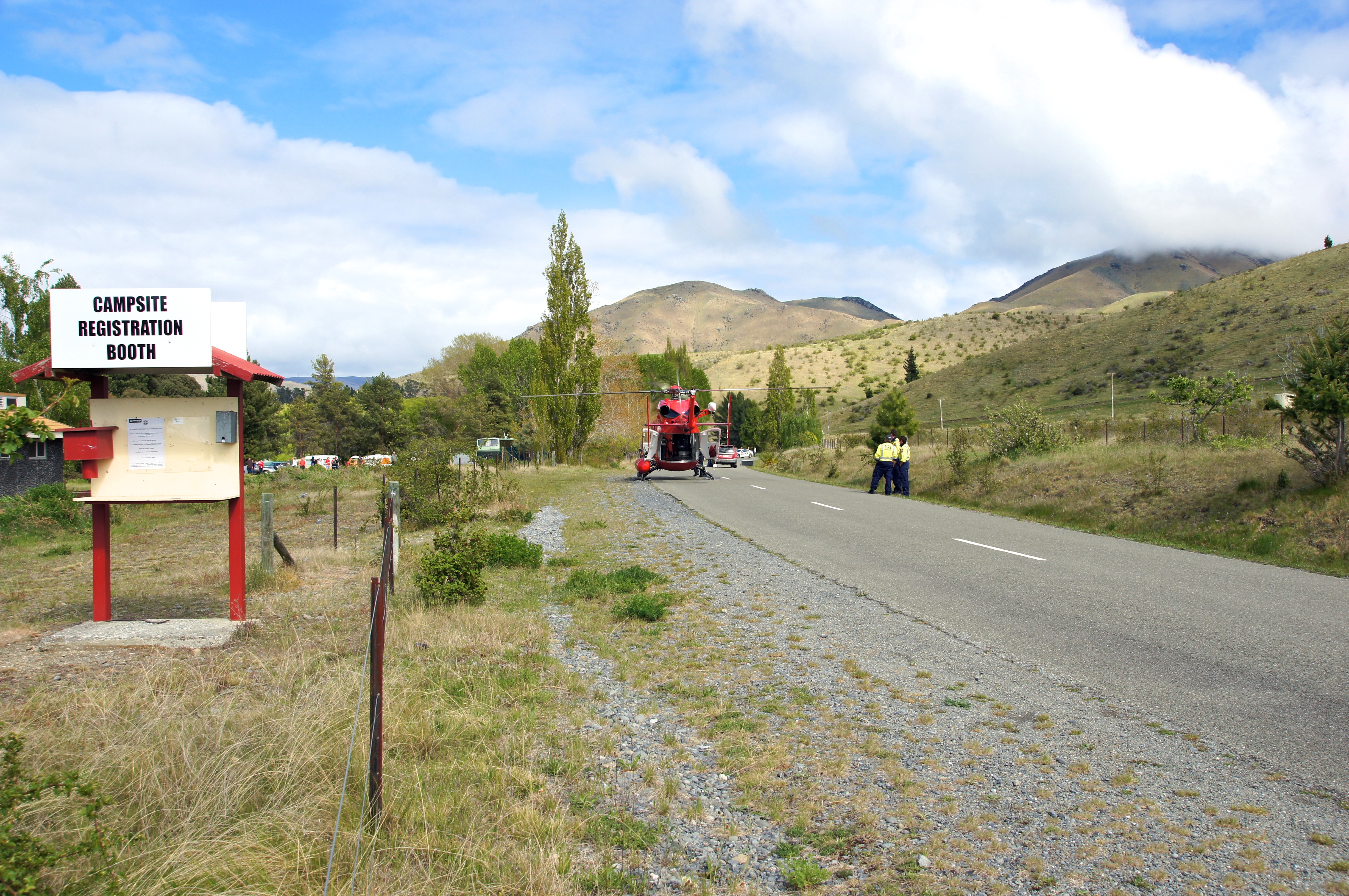
Otago Rescue Helicopter
Experimenting with the sun
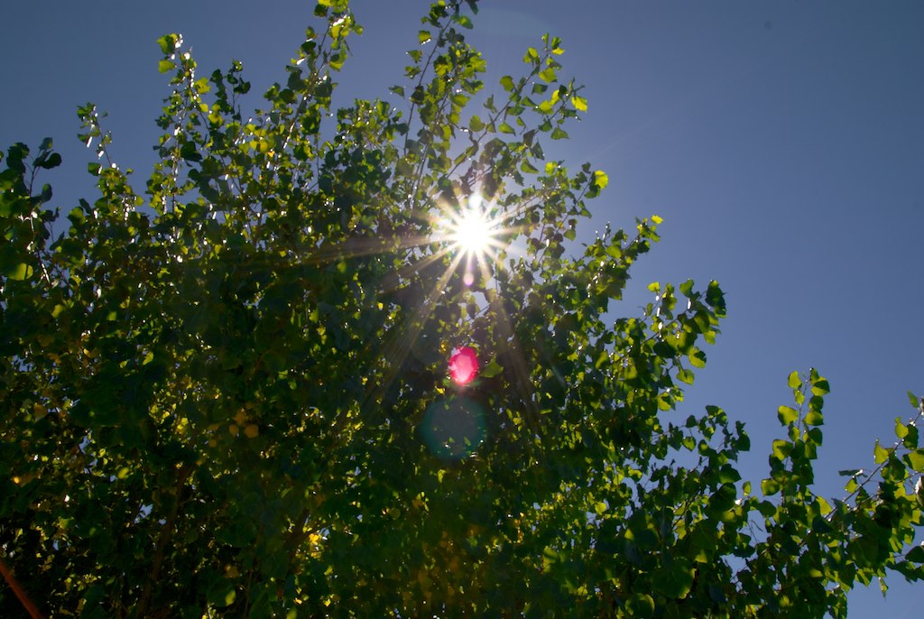
Sun in the trees

Daves great catch
Sheree BDay Weekend-72
Sheree BDay Weekend-34
Sheree BDay Weekend-13
Sheree BDay Weekend-61
Aviemore Feb 2011-4
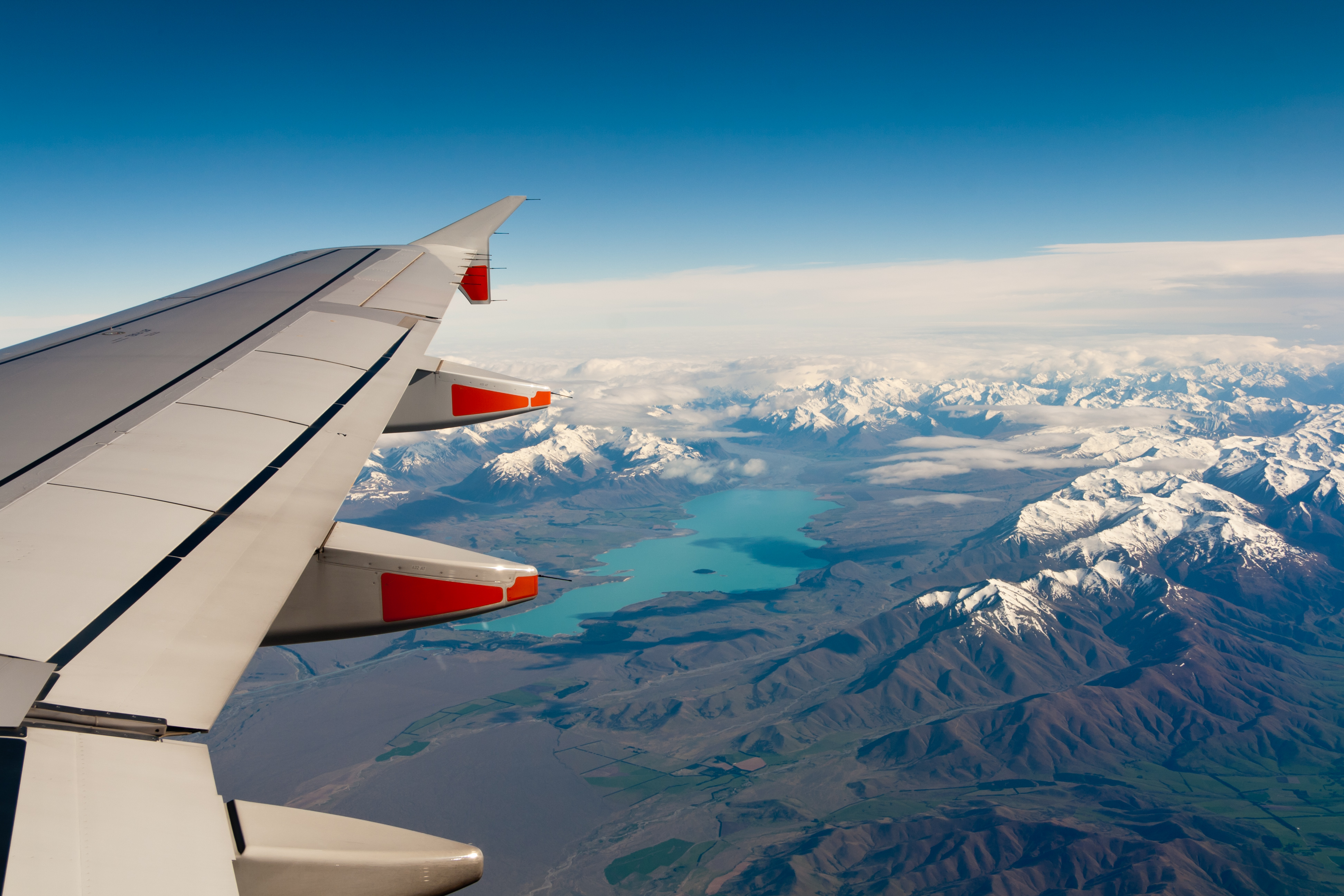
Southern Alps
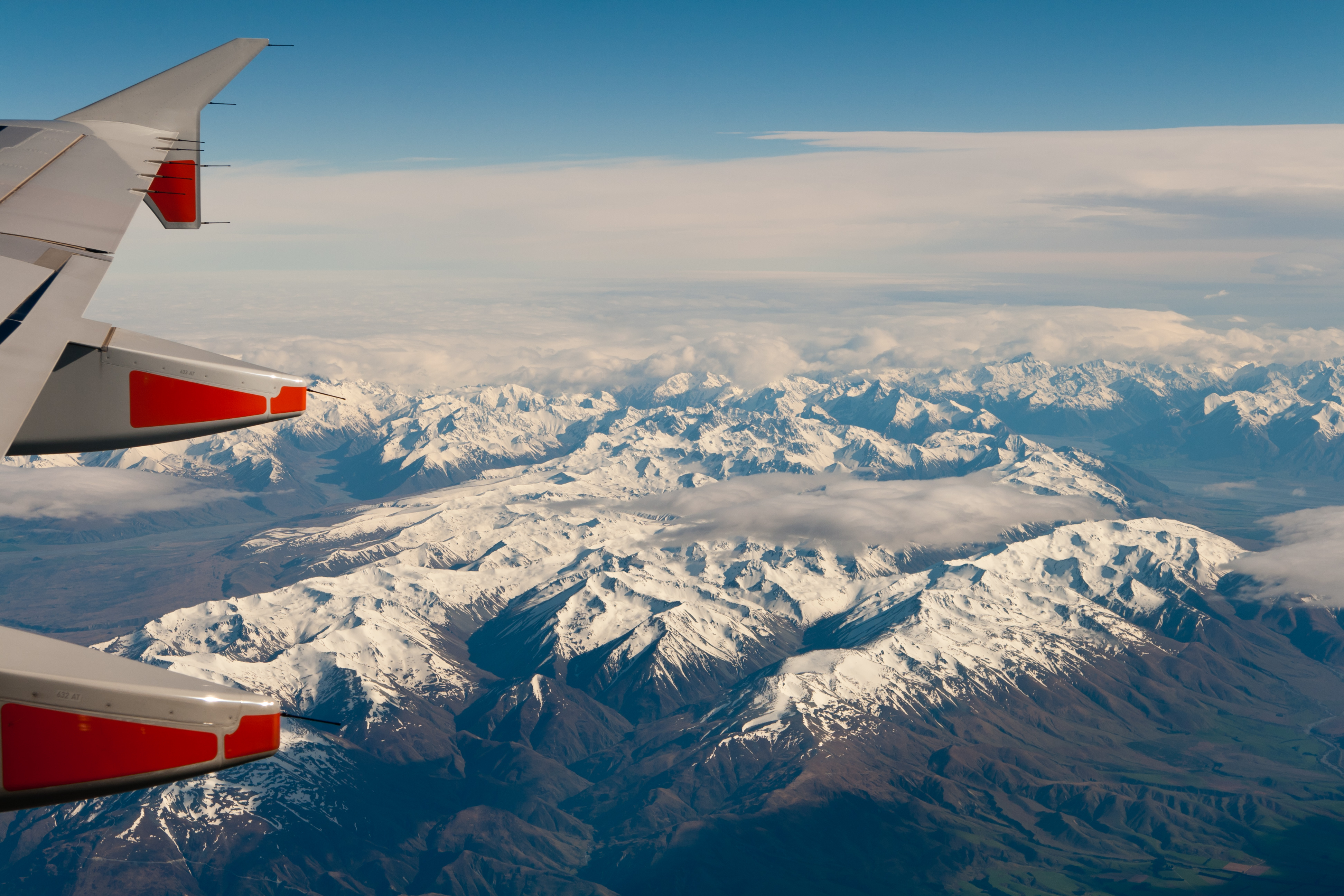
Southern Alps

Volop zomer, zon, korte broek, ijsbergen !?!#mtcook #ozkiwi
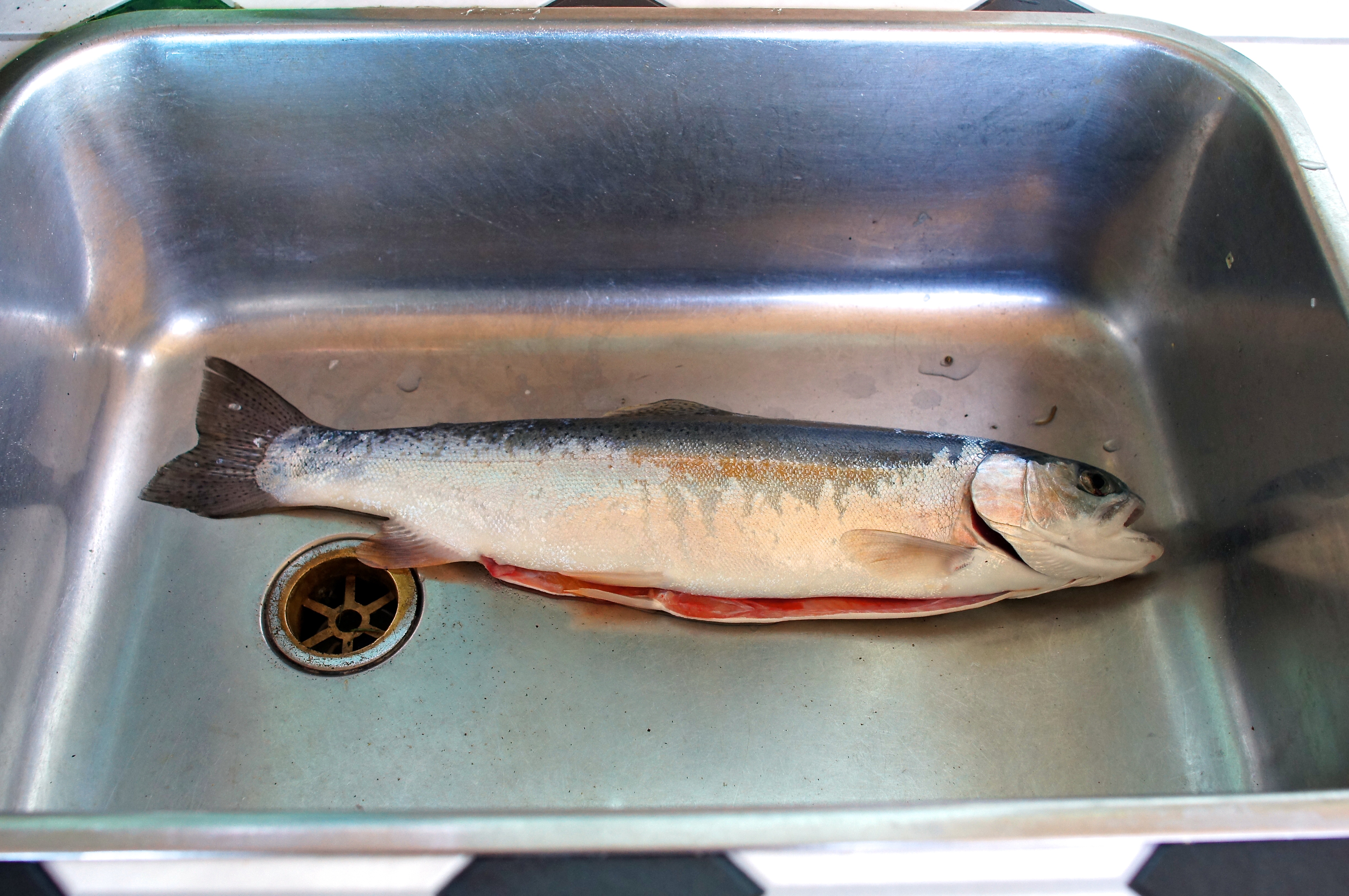
Rainbow Trout
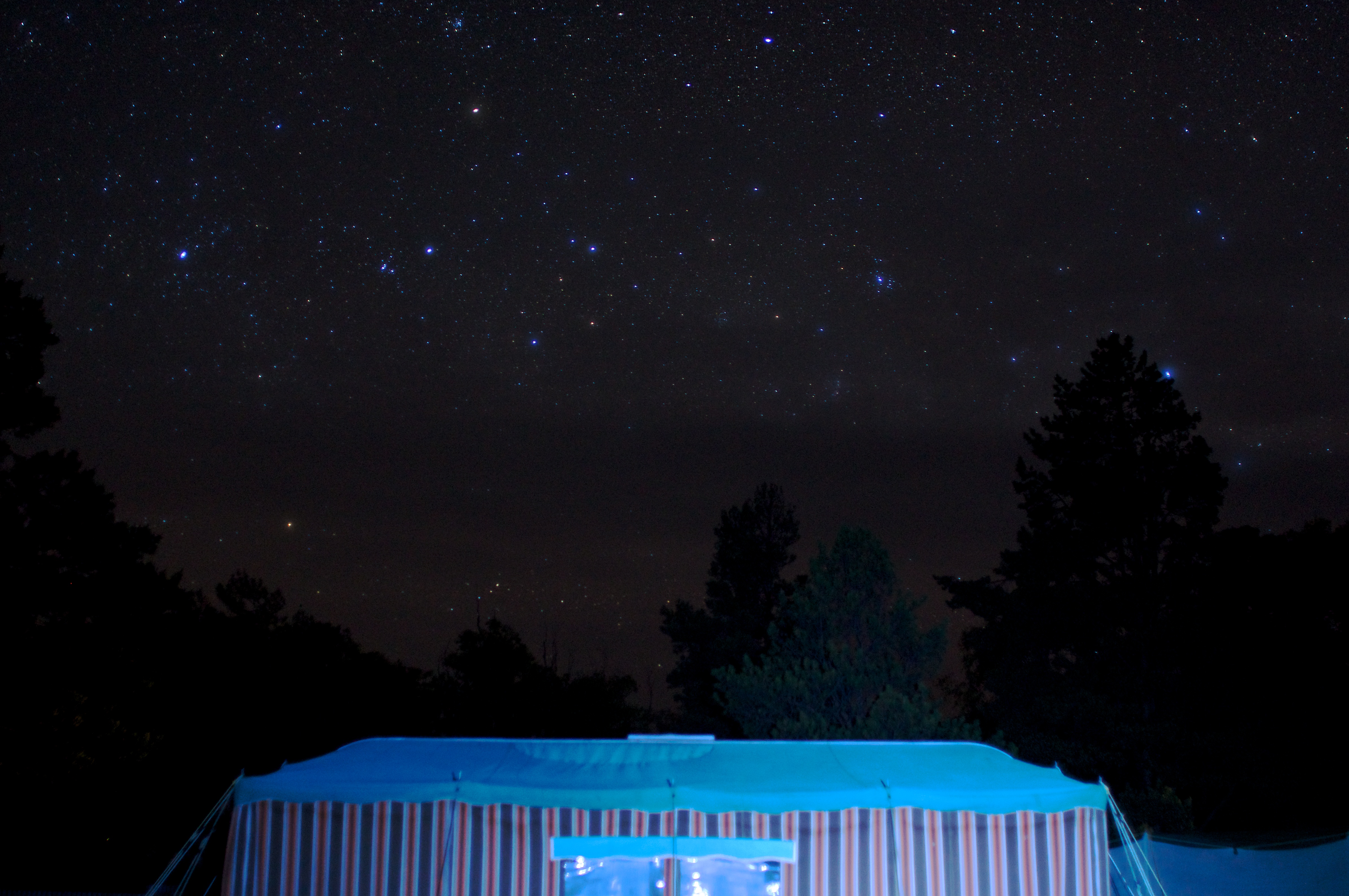
Stary Night
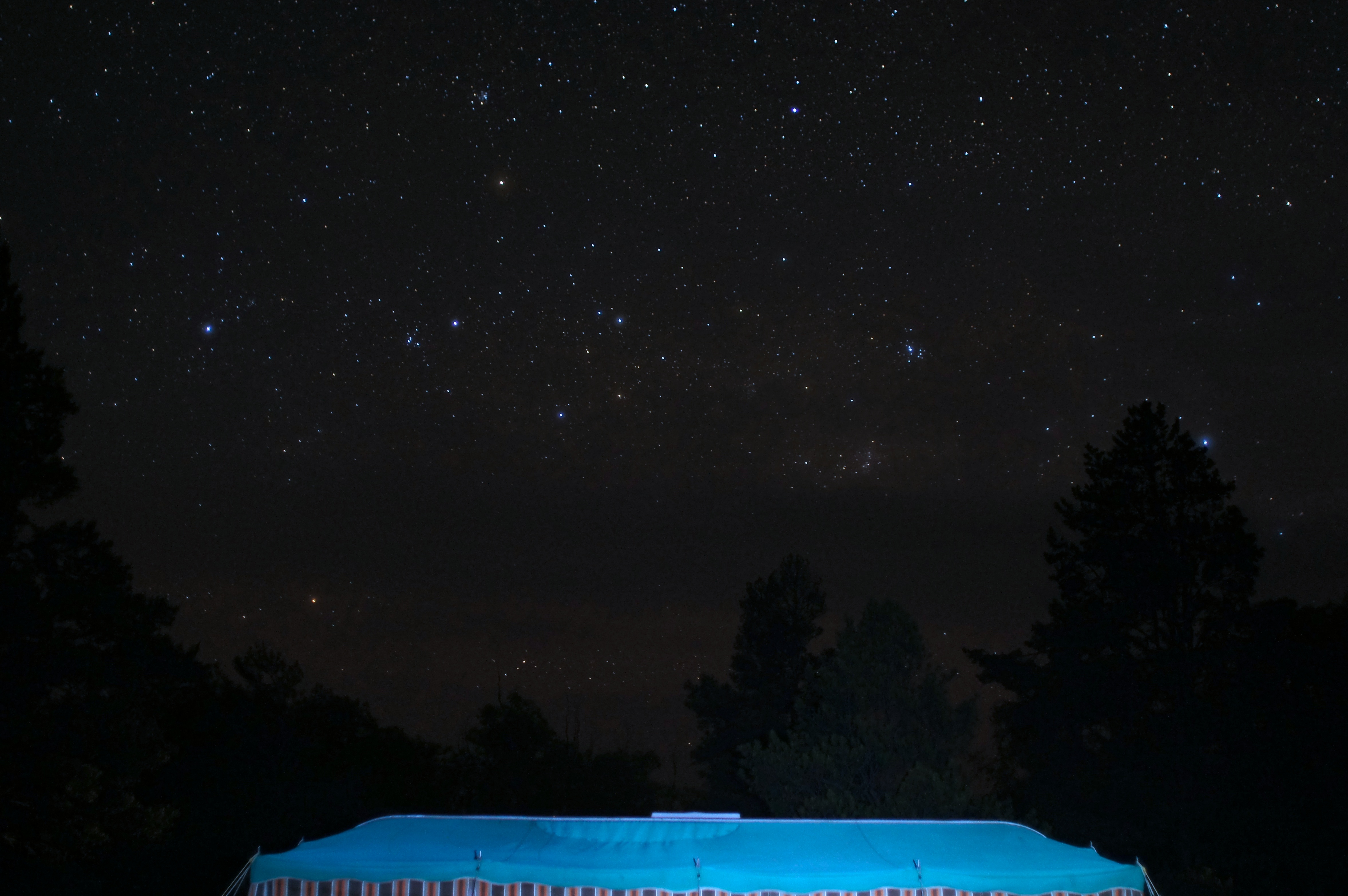
Stary Night
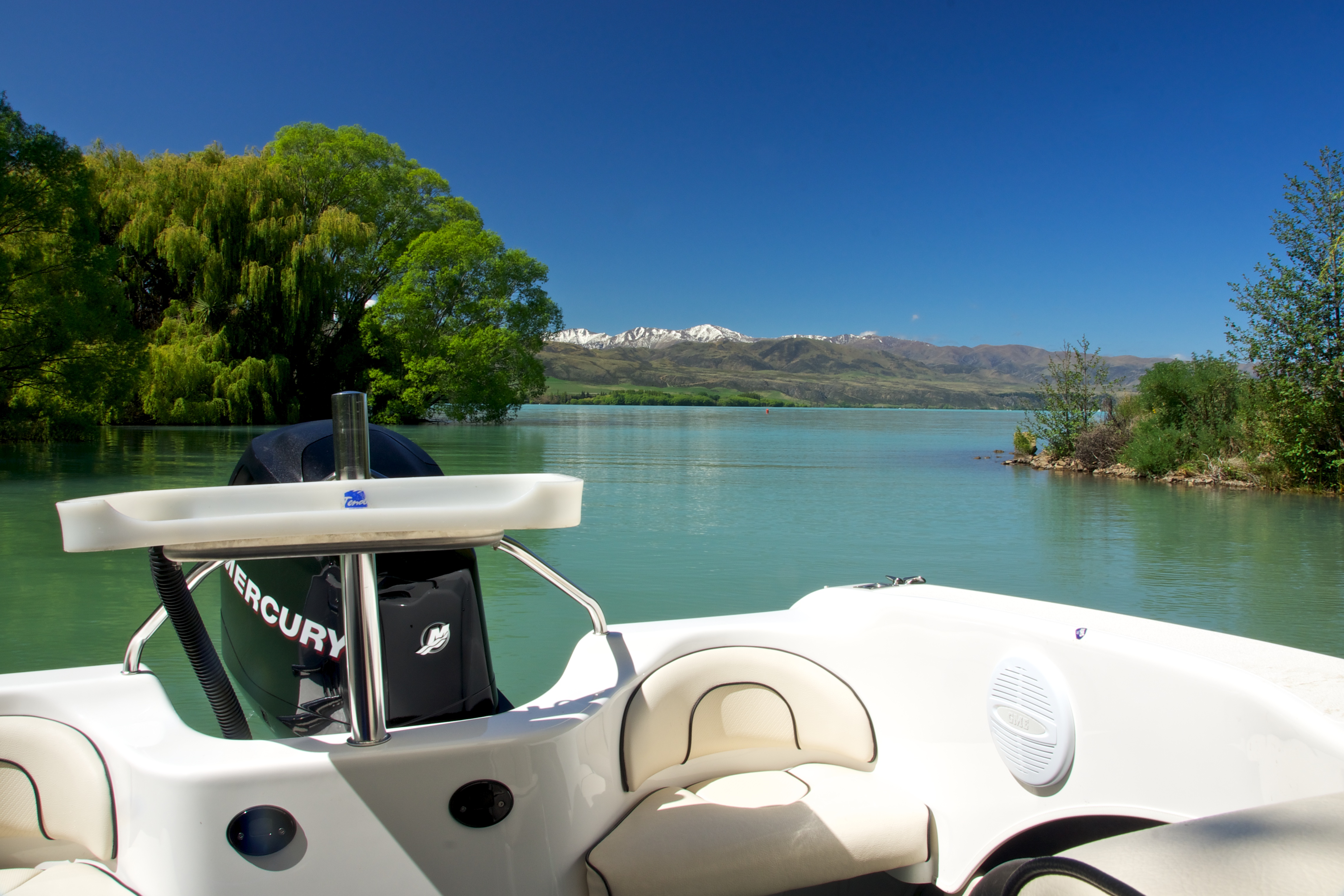
Lake Aviemore
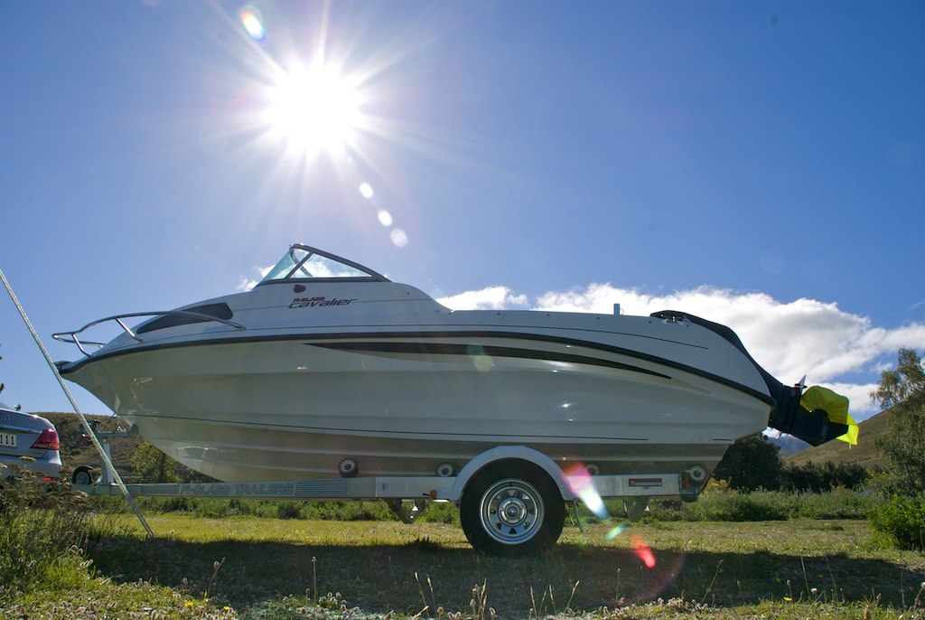
Launching Ramp Lake Aviemore
Topographic Map of Mount Sutton, Canterbury, New Zealand
Find elevation by address:

Places near Mount Sutton, Canterbury, New Zealand:
Kirkliston
Otematata
30 Lindis Cres
Kurow
15 Bowen St
Mackenzie District
Special School Road
Sawdon Station Accommodation Lake Tekapo
Lake Pukaki
Tekapo
Mantra Lake Tekapo
Lake Tekapo
Church Of The Good Shepherd
Tekapo Springs
Waitaki District
Fairlie
185 Ashwick Flat Rd
Gammack
35 Mount Michael Rd
Ashwick Flat
Recent Searches:
- Elevation of Corso Fratelli Cairoli, 35, Macerata MC, Italy
- Elevation of Tallevast Rd, Sarasota, FL, USA
- Elevation of 4th St E, Sonoma, CA, USA
- Elevation of Black Hollow Rd, Pennsdale, PA, USA
- Elevation of Oakland Ave, Williamsport, PA, USA
- Elevation of Pedrógão Grande, Portugal
- Elevation of Klee Dr, Martinsburg, WV, USA
- Elevation of Via Roma, Pieranica CR, Italy
- Elevation of Tavkvetili Mountain, Georgia
- Elevation of Hartfords Bluff Cir, Mt Pleasant, SC, USA