Elevation of The Nuns Veil, Canterbury, New Zealand
Location: New Zealand > Canterbury > Gammack >
Longitude: 170.247499
Latitude: -43.693333
Elevation: 2742m / 8996feet
Barometric Pressure: 72KPa
Elevation Map:
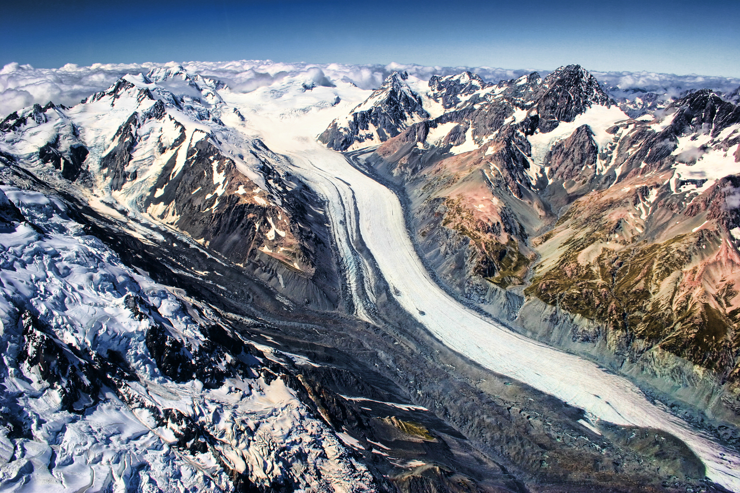
Satellite Map:
Related Photos:
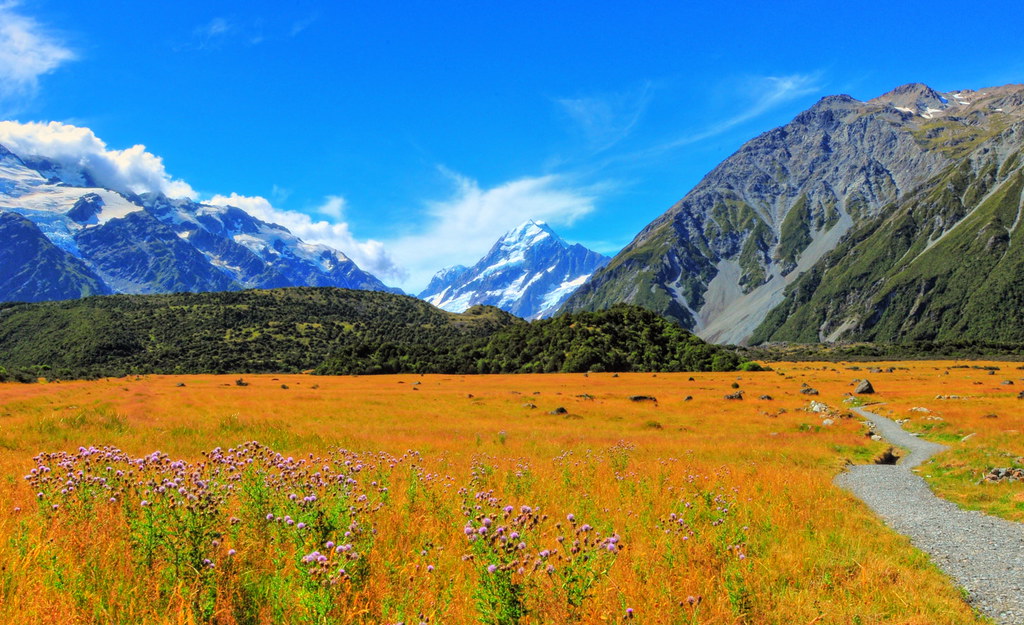
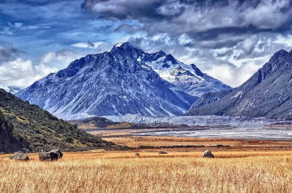
Mt.Cook

Mt.Cook
Mount Cook National Park

Rush Hour at Mount Cook

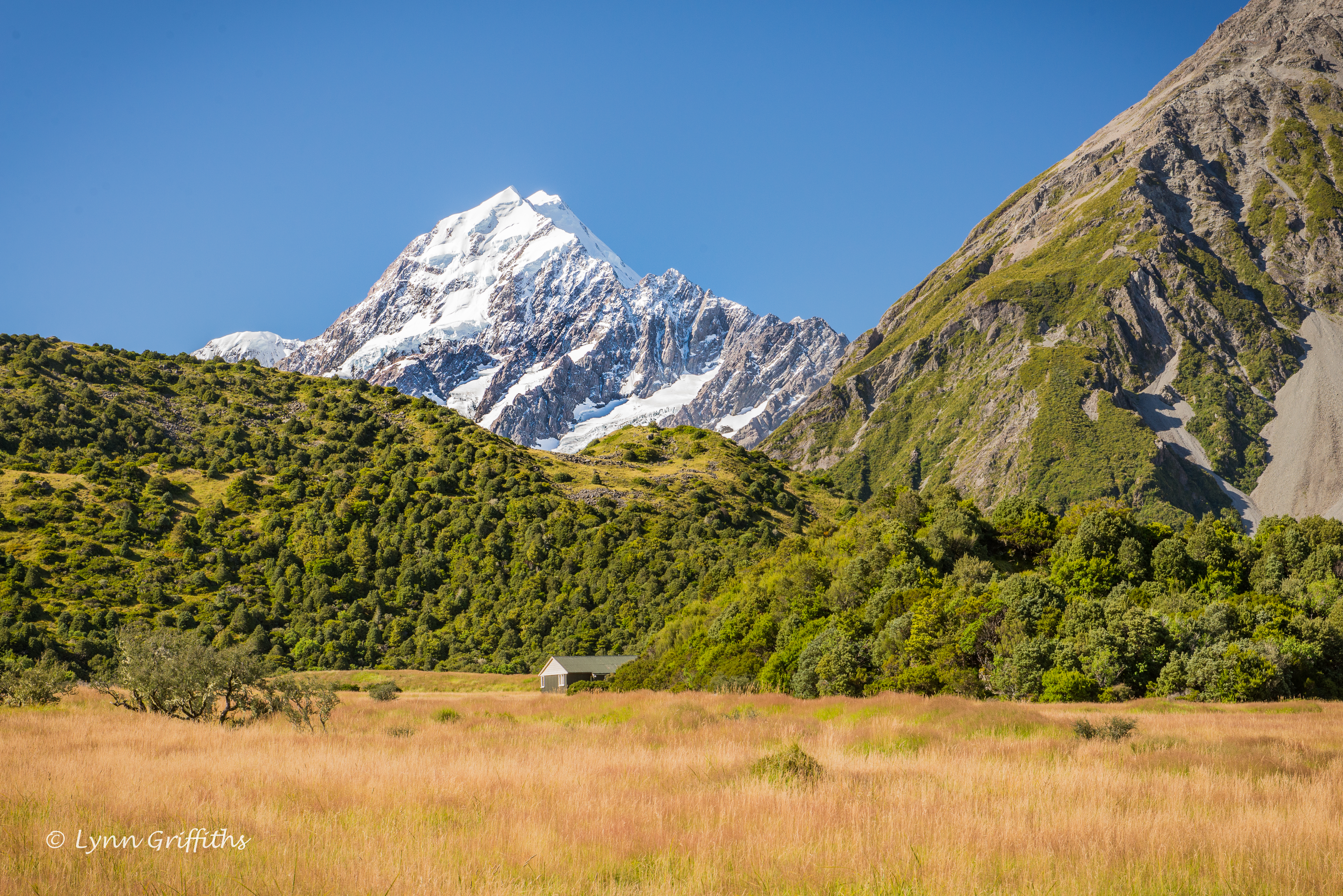
View from Kea Point D61_6545.jpg
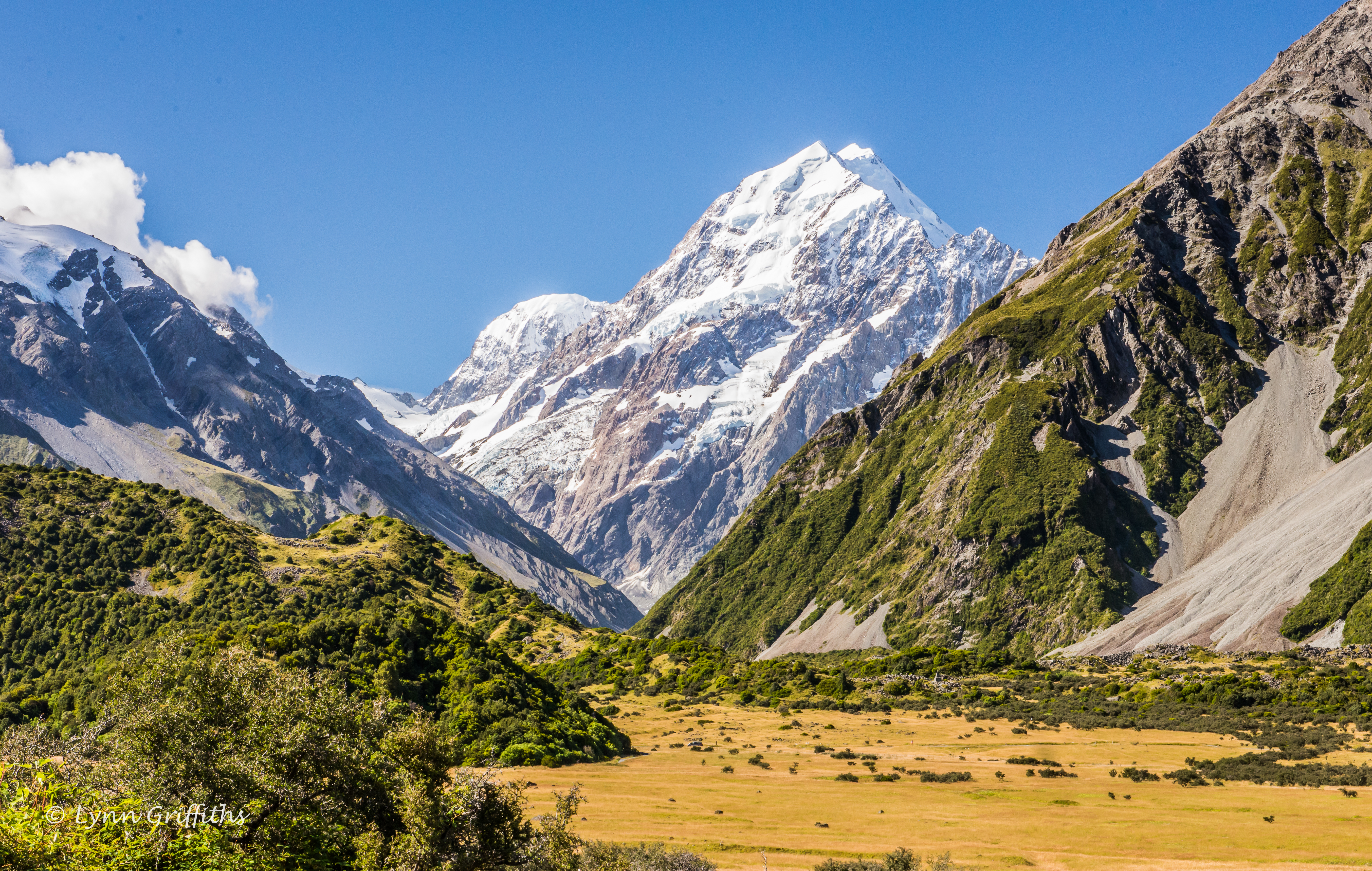
A stunning view of Aoroki Mt Cook D61_6534.jpg
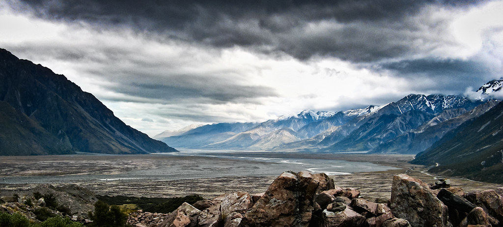
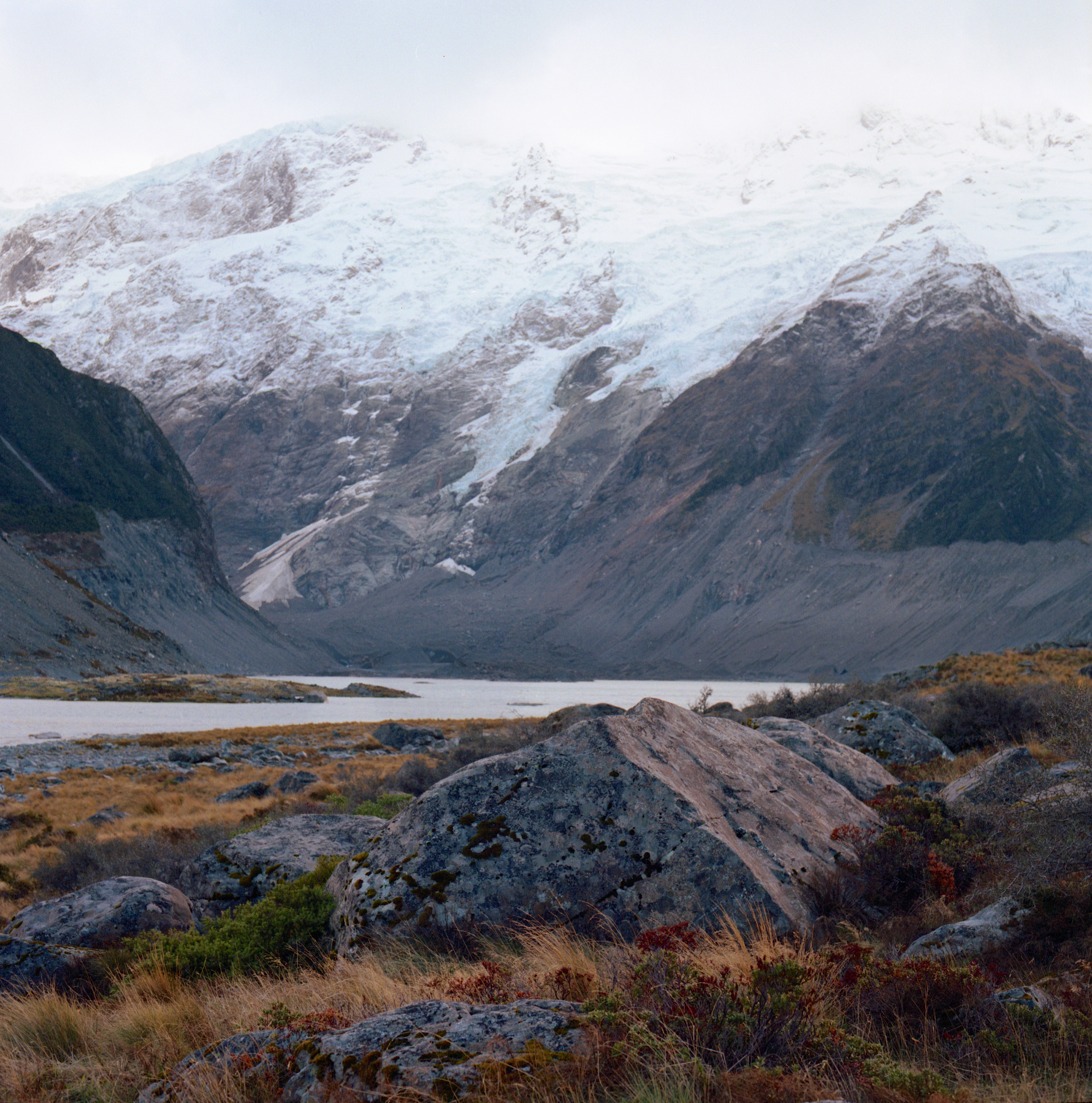
Tasman Valley
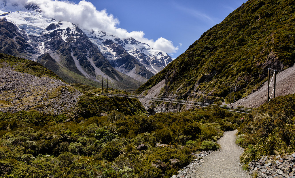
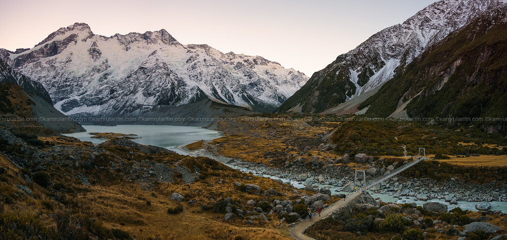
Over the Swing Bridge We Go
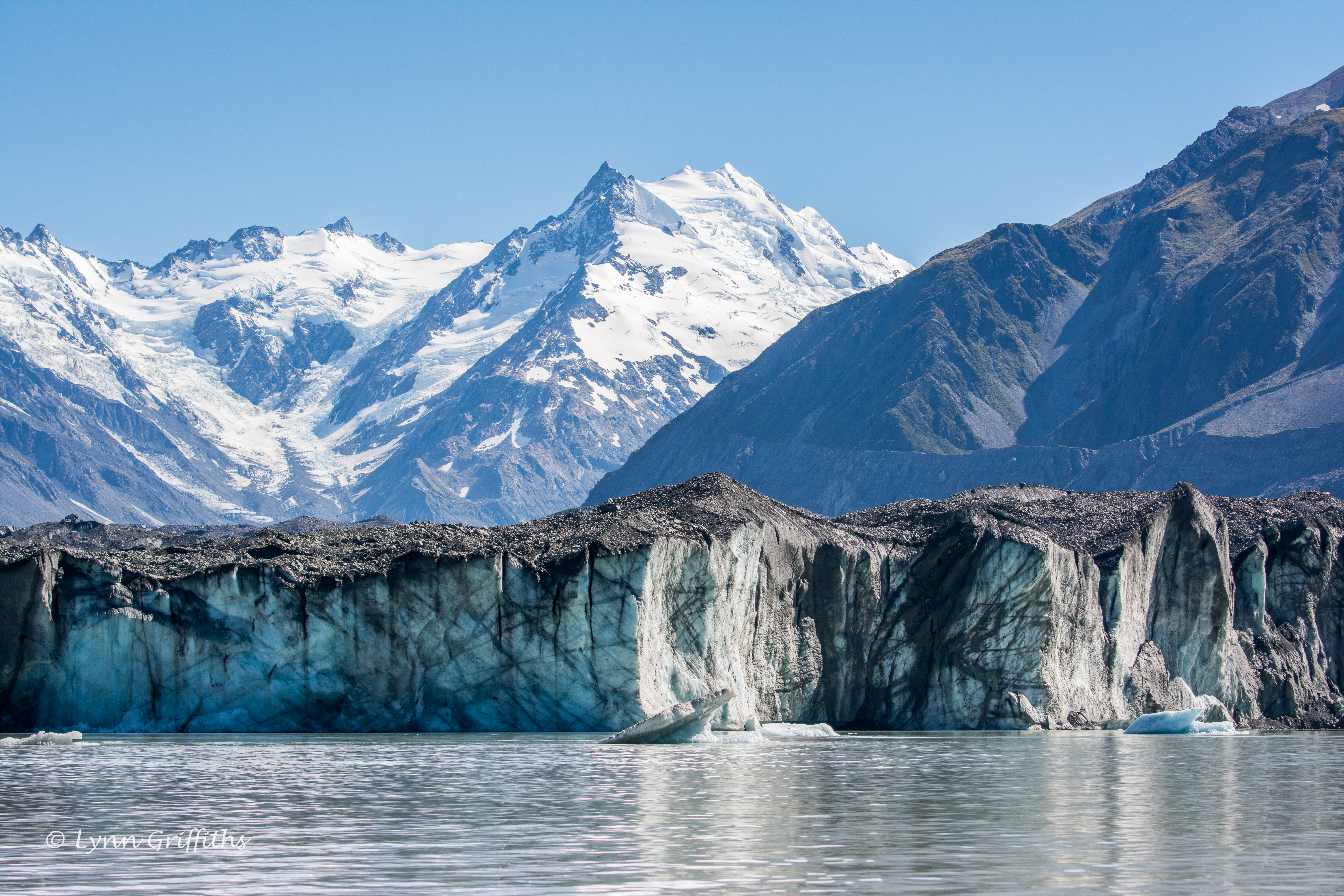
Tasman Glacier Face 710_1987.jpg
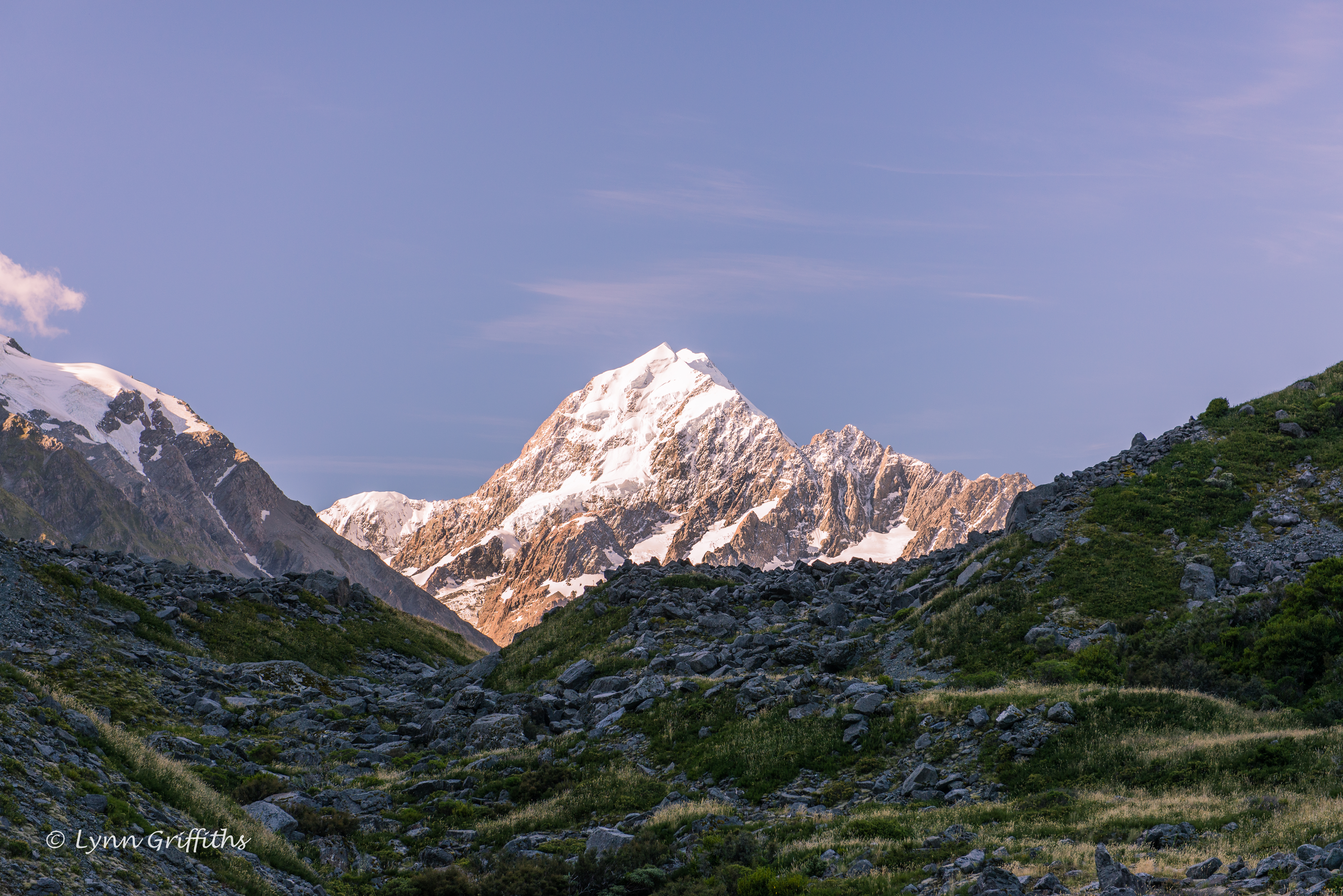
Aoroki Mt Cook in the evening sun D61_6548.jpg
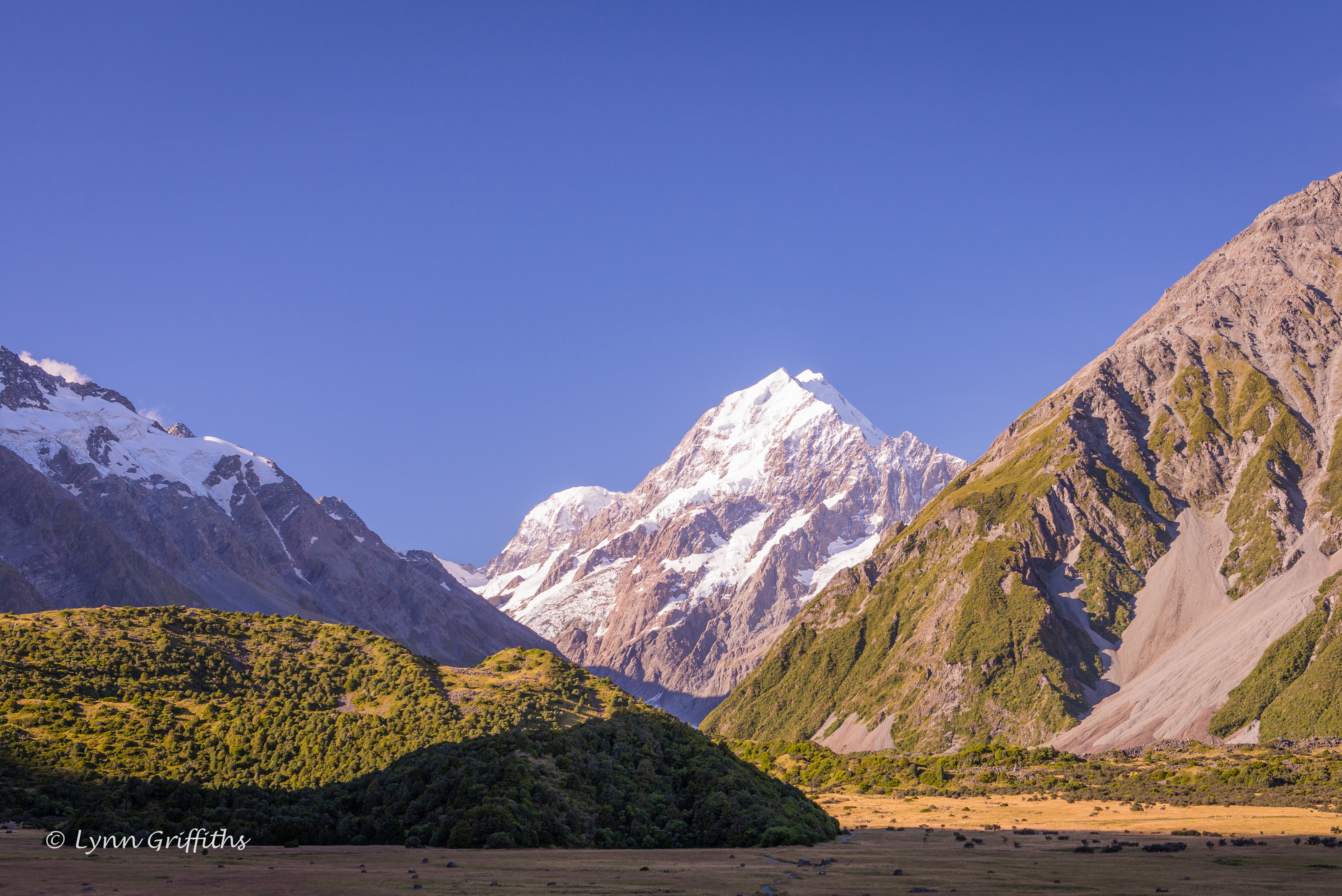
Lovely evening sun on Aoroki Mount Cook D61_6550.jpg
Hooker River Valley Track View
Mt Tasman
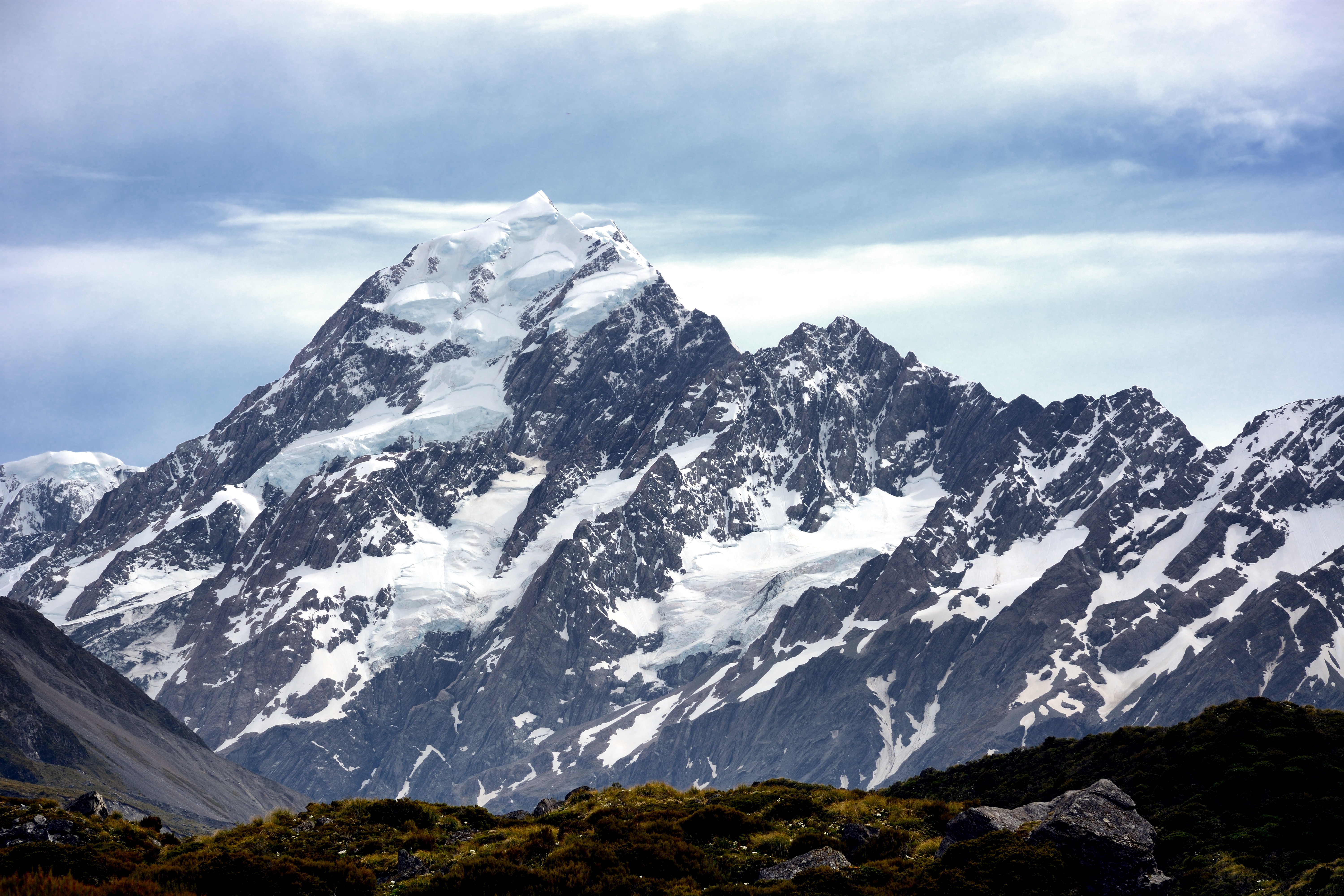
Aoroki Mt Cook D61_6539.jpg

Panoramic View of Aoraki / Mount Cook
Mount Cook (3,724 m)

Tasman Glacier Face D61_6565.jpg

Valley of Stars

Land of the Rings

Aoroki Mt Cook 710_1985.jpg
Mount Cook (Aoraki) II - the curve of the earth
Topographic Map of The Nuns Veil, Canterbury, New Zealand
Find elevation by address:

Places near The Nuns Veil, Canterbury, New Zealand:
Mount Hutton
Gammack
Tekapo Springs
Lake Pukaki
Lake Tekapo
Church Of The Good Shepherd
Mantra Lake Tekapo
Tekapo
Mackenzie District
Sawdon Station Accommodation Lake Tekapo
185 Ashwick Flat Rd
Ashwick Flat
Fairlie
35 Mount Michael Rd
Mount Harper
Mount Sutton
Otematata
30 Lindis Cres
Canterbury
Kirkliston
Recent Searches:
- Elevation of Corso Fratelli Cairoli, 35, Macerata MC, Italy
- Elevation of Tallevast Rd, Sarasota, FL, USA
- Elevation of 4th St E, Sonoma, CA, USA
- Elevation of Black Hollow Rd, Pennsdale, PA, USA
- Elevation of Oakland Ave, Williamsport, PA, USA
- Elevation of Pedrógão Grande, Portugal
- Elevation of Klee Dr, Martinsburg, WV, USA
- Elevation of Via Roma, Pieranica CR, Italy
- Elevation of Tavkvetili Mountain, Georgia
- Elevation of Hartfords Bluff Cir, Mt Pleasant, SC, USA