Elevation of Mohnyin, Myanmar (Burma)
Location: Myanmar (burma) > Kachin >
Longitude: 96.3598367
Latitude: 24.7753065
Elevation: 213m / 699feet
Barometric Pressure: 0KPa
Related Photos:

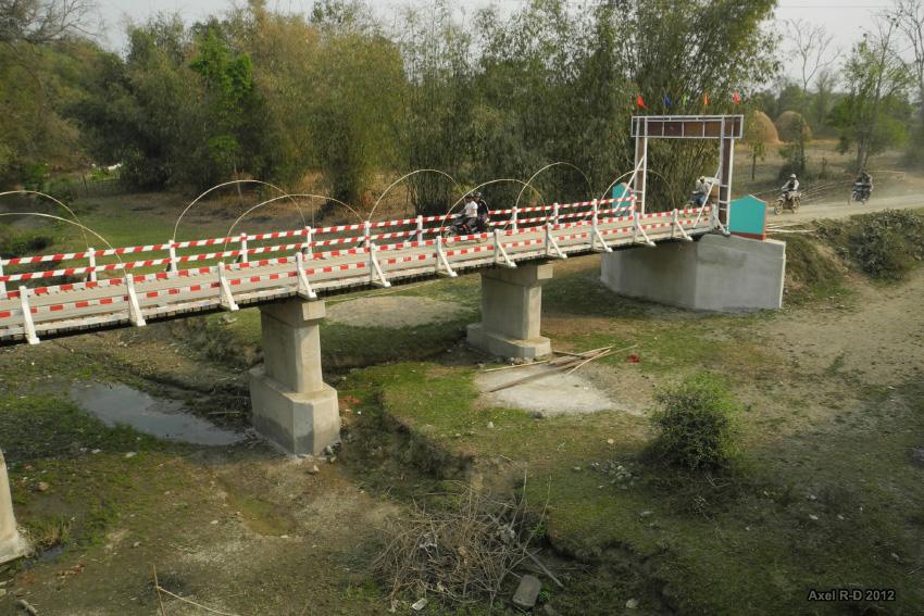
On the way from Mohnyin to Hopin

Mohnyin Railway Station
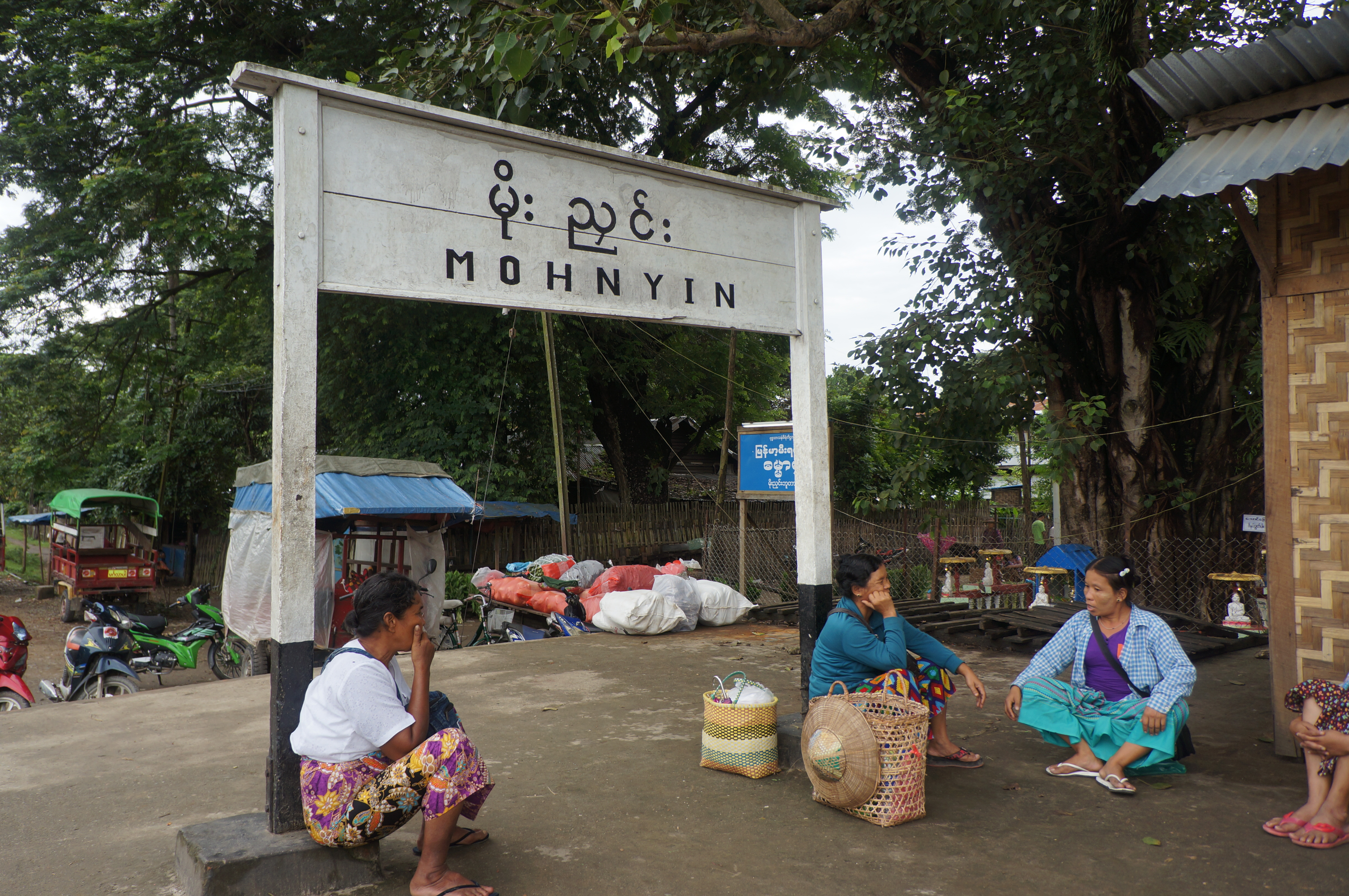
Mohnyin Railway Station
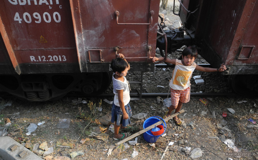
Northern Myanmar
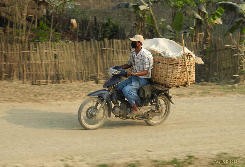
Northern Myanmar

On the way from Katha to Mohnyin
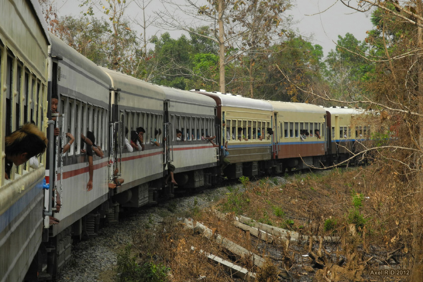
On the train - Northern Myanmar
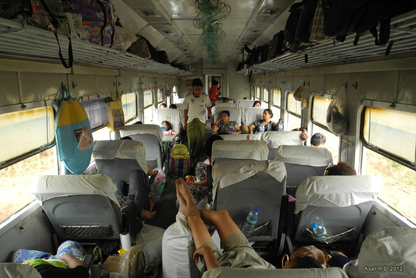
On the train - Northern Myanmar
Northern Myanmar
Topographic Map of Mohnyin, Myanmar (Burma)
Find elevation by address:

Places near Mohnyin, Myanmar (Burma):
Indawgyi Lake
Let Pan Gone
Memorial Pagoda
မြို့ဦးစေတီ Myo Oo Pagoda
Reclining Buddha Image
Katha
Tan Yaw Zin
Zalon Taung Pagoda
Indaw
Banmauk
Shwegu
Katha
Recent Searches:
- Elevation of 10370, West 107th Circle, Westminster, Jefferson County, Colorado, 80021, USA
- Elevation of 611, Roman Road, Old Ford, Bow, London, England, E3 2RW, United Kingdom
- Elevation of 116, Beartown Road, Underhill, Chittenden County, Vermont, 05489, USA
- Elevation of Window Rock, Colfax County, New Mexico, 87714, USA
- Elevation of 4807, Rosecroft Street, Kempsville Gardens, Virginia Beach, Virginia, 23464, USA
- Elevation map of Matawinie, Quebec, Canada
- Elevation of Sainte-Émélie-de-l'Énergie, Matawinie, Quebec, Canada
- Elevation of Rue du Pont, Sainte-Émélie-de-l'Énergie, Matawinie, Quebec, J0K2K0, Canada
- Elevation of 8, Rue de Bécancour, Blainville, Thérèse-De Blainville, Quebec, J7B1N2, Canada
- Elevation of Wilmot Court North, 163, University Avenue West, Northdale, Waterloo, Region of Waterloo, Ontario, N2L6B6, Canada
- Elevation map of Panamá Province, Panama
- Elevation of Balboa, Panamá Province, Panama
- Elevation of San Miguel, Balboa, Panamá Province, Panama
- Elevation of Isla Gibraleón, San Miguel, Balboa, Panamá Province, Panama
- Elevation of 4655, Krischke Road, Schulenburg, Fayette County, Texas, 78956, USA
- Elevation of Carnegie Avenue, Downtown Cleveland, Cleveland, Cuyahoga County, Ohio, 44115, USA
- Elevation of Walhonding, Coshocton County, Ohio, USA
- Elevation of Clifton Down, Clifton, Bristol, City of Bristol, England, BS8 3HU, United Kingdom
- Elevation map of Auvergne-Rhône-Alpes, France
- Elevation map of Upper Savoy, Auvergne-Rhône-Alpes, France