Elevation of Shwegu, Myanmar (Burma)
Location: Myanmar (burma) > Kachin >
Longitude: 96.7761686
Latitude: 24.2132737
Elevation: 111m / 364feet
Barometric Pressure: 0KPa
Related Photos:
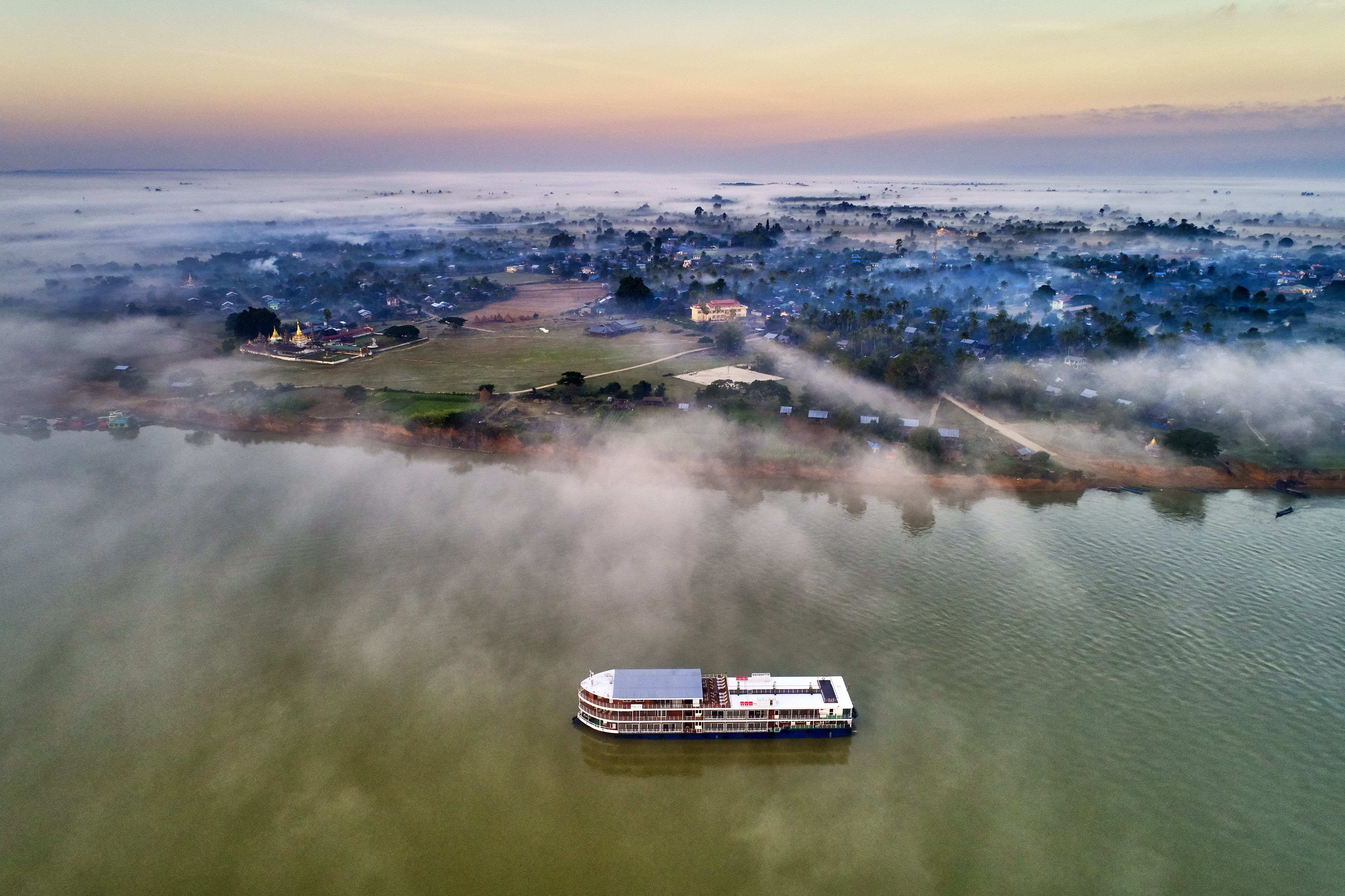
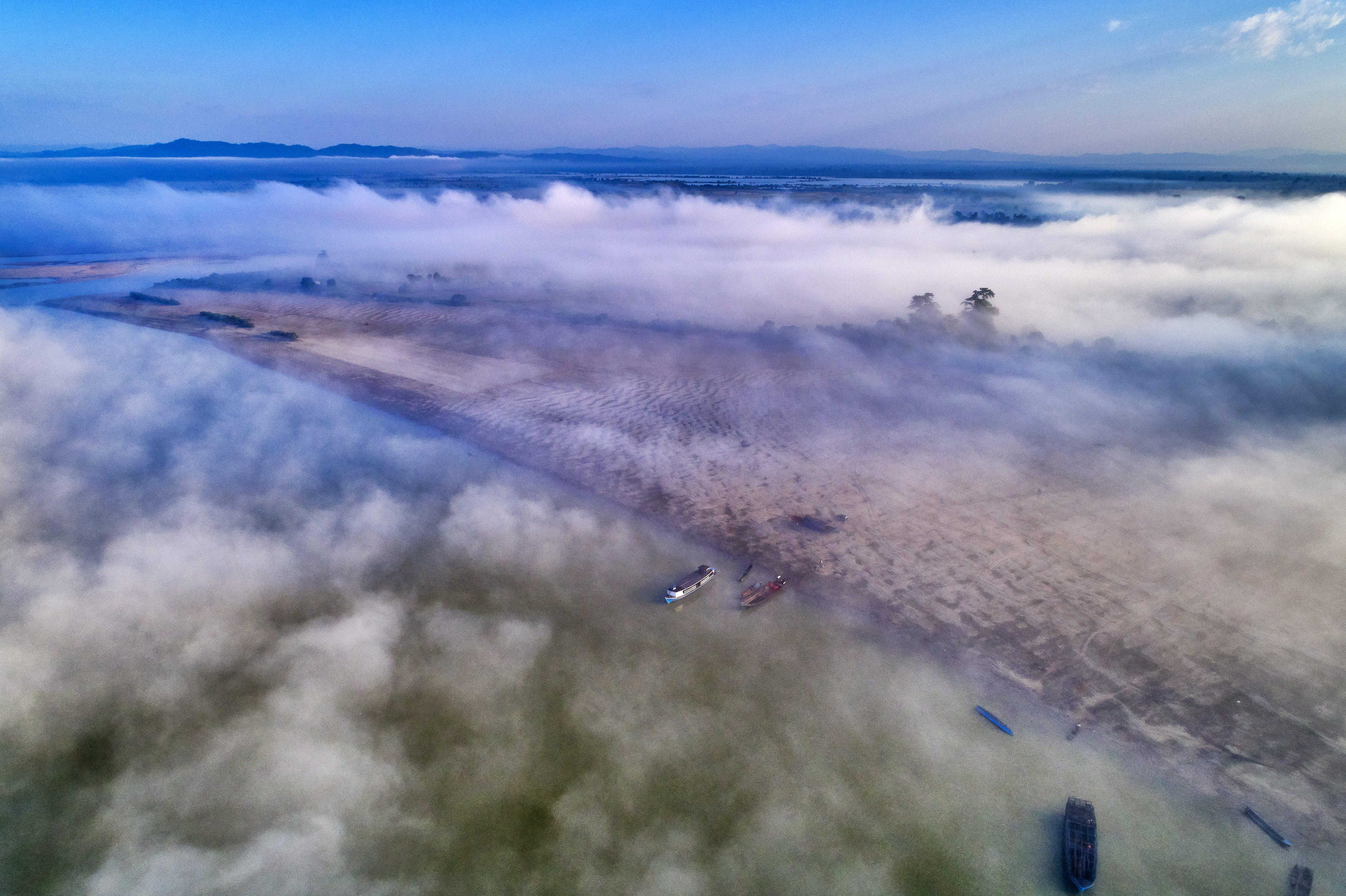
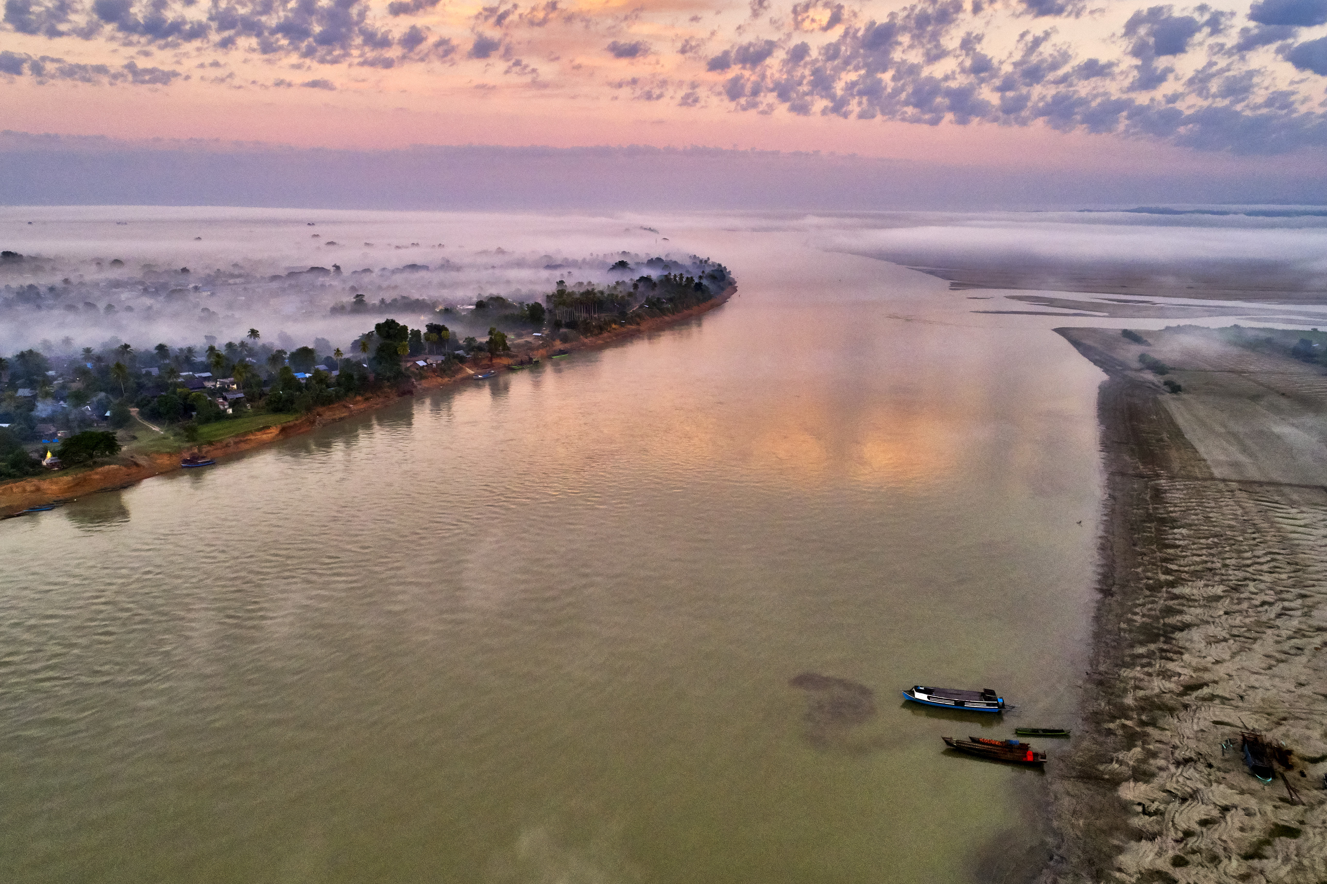
View over the Irrawady

Kyun Daw Island 9
Kyun Daw Island 9
Kyun Daw Island 4
Kyun Daw Island 3

Homeward bound
Elephant village

Kyun Daw Island
Kyun Daw Island 6
Kyun Daw Island 7

Irrawaddy River Boys
Local primary school

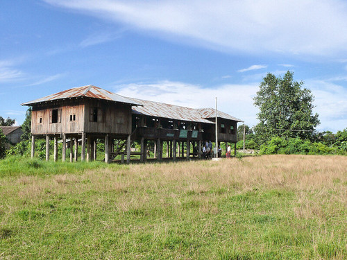
At home
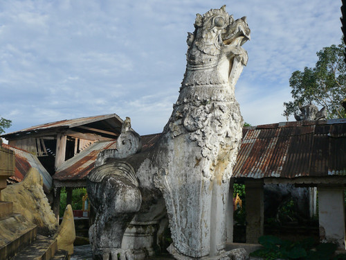
Guardian lion at the entrance
Kyun Daw Island 2

Kyun Daw Island 8
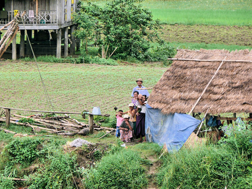
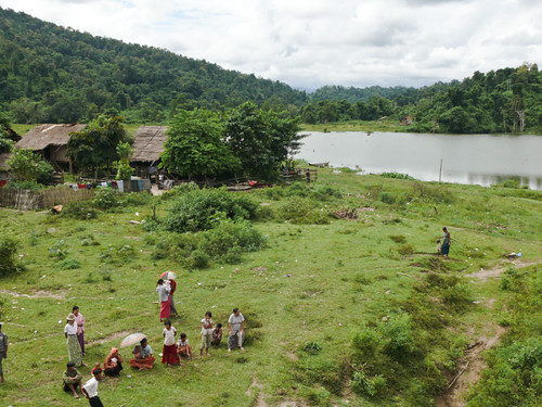
Farming family
Topographic Map of Shwegu, Myanmar (Burma)
Find elevation by address:

Places near Shwegu, Myanmar (Burma):
Katha
မြို့ဦးစေတီ Myo Oo Pagoda
Reclining Buddha Image
Indaw
Tan Yaw Zin
Memorial Pagoda
Let Pan Gone
Mohnyin
Katha
Banmauk
Zalon Taung Pagoda
Indawgyi Lake
Recent Searches:
- Elevation of Window Rock, Colfax County, New Mexico, 87714, USA
- Elevation of 4807, Rosecroft Street, Kempsville Gardens, Virginia Beach, Virginia, 23464, USA
- Elevation map of Matawinie, Quebec, Canada
- Elevation of Sainte-Émélie-de-l'Énergie, Matawinie, Quebec, Canada
- Elevation of Rue du Pont, Sainte-Émélie-de-l'Énergie, Matawinie, Quebec, J0K2K0, Canada
- Elevation of 8, Rue de Bécancour, Blainville, Thérèse-De Blainville, Quebec, J7B1N2, Canada
- Elevation of Wilmot Court North, 163, University Avenue West, Northdale, Waterloo, Region of Waterloo, Ontario, N2L6B6, Canada
- Elevation map of Panamá Province, Panama
- Elevation of Balboa, Panamá Province, Panama
- Elevation of San Miguel, Balboa, Panamá Province, Panama
- Elevation of Isla Gibraleón, San Miguel, Balboa, Panamá Province, Panama
- Elevation of 4655, Krischke Road, Schulenburg, Fayette County, Texas, 78956, USA
- Elevation of Carnegie Avenue, Downtown Cleveland, Cleveland, Cuyahoga County, Ohio, 44115, USA
- Elevation of Walhonding, Coshocton County, Ohio, USA
- Elevation of Clifton Down, Clifton, Bristol, City of Bristol, England, BS8 3HU, United Kingdom
- Elevation map of Auvergne-Rhône-Alpes, France
- Elevation map of Upper Savoy, Auvergne-Rhône-Alpes, France
- Elevation of Chamonix-Mont-Blanc, Upper Savoy, Auvergne-Rhône-Alpes, France
- Elevation of 908, Northwood Drive, Bridge Field, Chesapeake, Virginia, 23322, USA
- Elevation map of Nagano Prefecture, Japan