Elevation of Let Pan Gone, Myanmar (Burma)
Location: Myanmar (burma) > Sagaing Region > Katha >
Longitude: 96.135137
Latitude: 24.2363471
Elevation: 122m / 400feet
Barometric Pressure: 0KPa
Related Photos:

Father and son
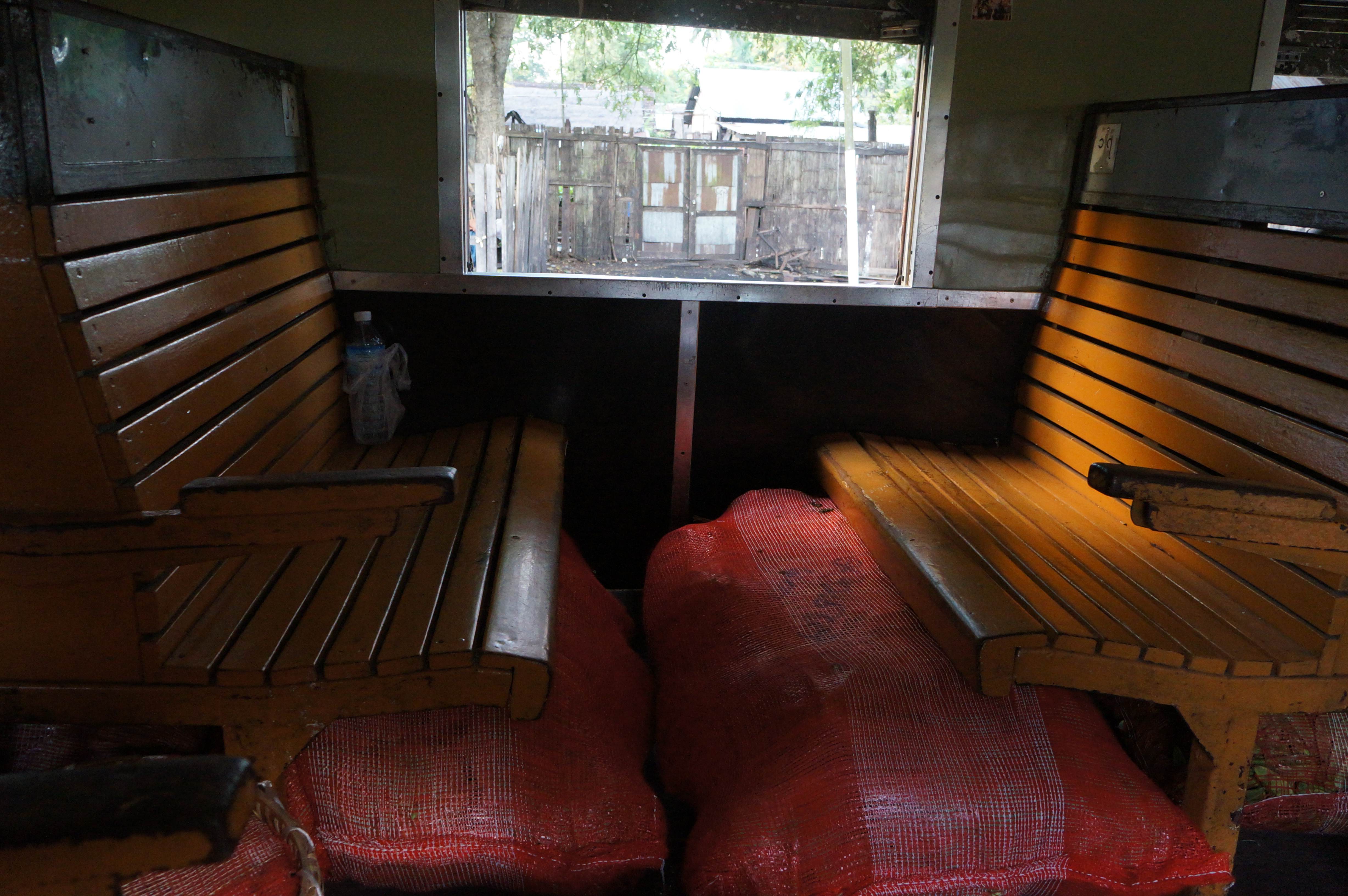
Train compartment

Children in Northern Myanmar

People on the train - Northern Myanmar

People on the train - Northern Myanmar

Stop at Naba - Northern Myanmar

Northern Myanmar

Elephants adore bananas! Carolyn giving the treat
Topographic Map of Let Pan Gone, Myanmar (Burma)
Find elevation by address:

Places in Let Pan Gone, Myanmar (Burma):
Places near Let Pan Gone, Myanmar (Burma):
Memorial Pagoda
Tan Yaw Zin
Indaw
Reclining Buddha Image
မြို့ဦးစေတီ Myo Oo Pagoda
Katha
Katha
Banmauk
Zalon Taung Pagoda
Mohnyin
Shwegu
Indawgyi Lake
Recent Searches:
- Elevation of 8, Rue de Bécancour, Blainville, Thérèse-De Blainville, Quebec, J7B1N2, Canada
- Elevation of Wilmot Court North, 163, University Avenue West, Northdale, Waterloo, Region of Waterloo, Ontario, N2L6B6, Canada
- Elevation map of Panamá Province, Panama
- Elevation of Balboa, Panamá Province, Panama
- Elevation of San Miguel, Balboa, Panamá Province, Panama
- Elevation of Isla Gibraleón, San Miguel, Balboa, Panamá Province, Panama
- Elevation of 4655, Krischke Road, Schulenburg, Fayette County, Texas, 78956, USA
- Elevation of Carnegie Avenue, Downtown Cleveland, Cleveland, Cuyahoga County, Ohio, 44115, USA
- Elevation of Walhonding, Coshocton County, Ohio, USA
- Elevation of Clifton Down, Clifton, Bristol, City of Bristol, England, BS8 3HU, United Kingdom
- Elevation map of Auvergne-Rhône-Alpes, France
- Elevation map of Upper Savoy, Auvergne-Rhône-Alpes, France
- Elevation of Chamonix-Mont-Blanc, Upper Savoy, Auvergne-Rhône-Alpes, France
- Elevation of 908, Northwood Drive, Bridge Field, Chesapeake, Virginia, 23322, USA
- Elevation map of Nagano Prefecture, Japan
- Elevation of 587, Bascule Drive, Oakdale, Stanislaus County, California, 95361, USA
- Elevation of Stadion Wankdorf, Sempachstrasse, Breitfeld, Bern, Bern-Mittelland administrative district, Bern, 3014, Switzerland
- Elevation of Z024, 76, Emil-von-Behring-Straße, Marbach, Marburg, Landkreis Marburg-Biedenkopf, Hesse, 35041, Germany
- Elevation of Gaskill Road, Hunts Cross, Liverpool, England, L24 9PH, United Kingdom
- Elevation of Speke, Liverpool, England, L24 9HD, United Kingdom