Elevation of Katha, Myanmar (Burma)
| Latitude | 24.1821187 |
|---|---|
| Longitude | 96.3305831 |
| Elevation | 121m / 397feet |
| Barometric Pressure | 999KPa |
Related Photos:
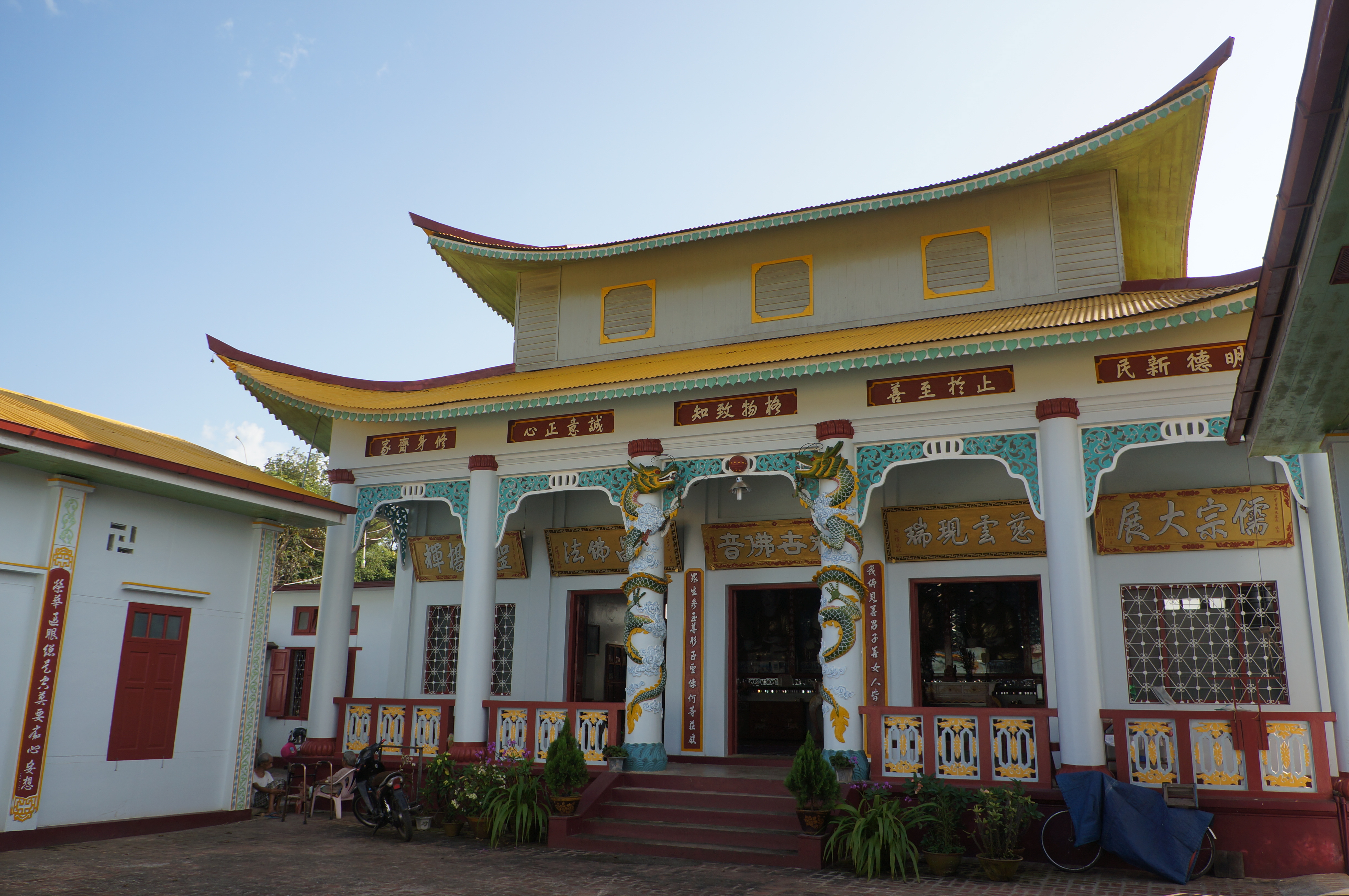
A Chinese temple at Katha

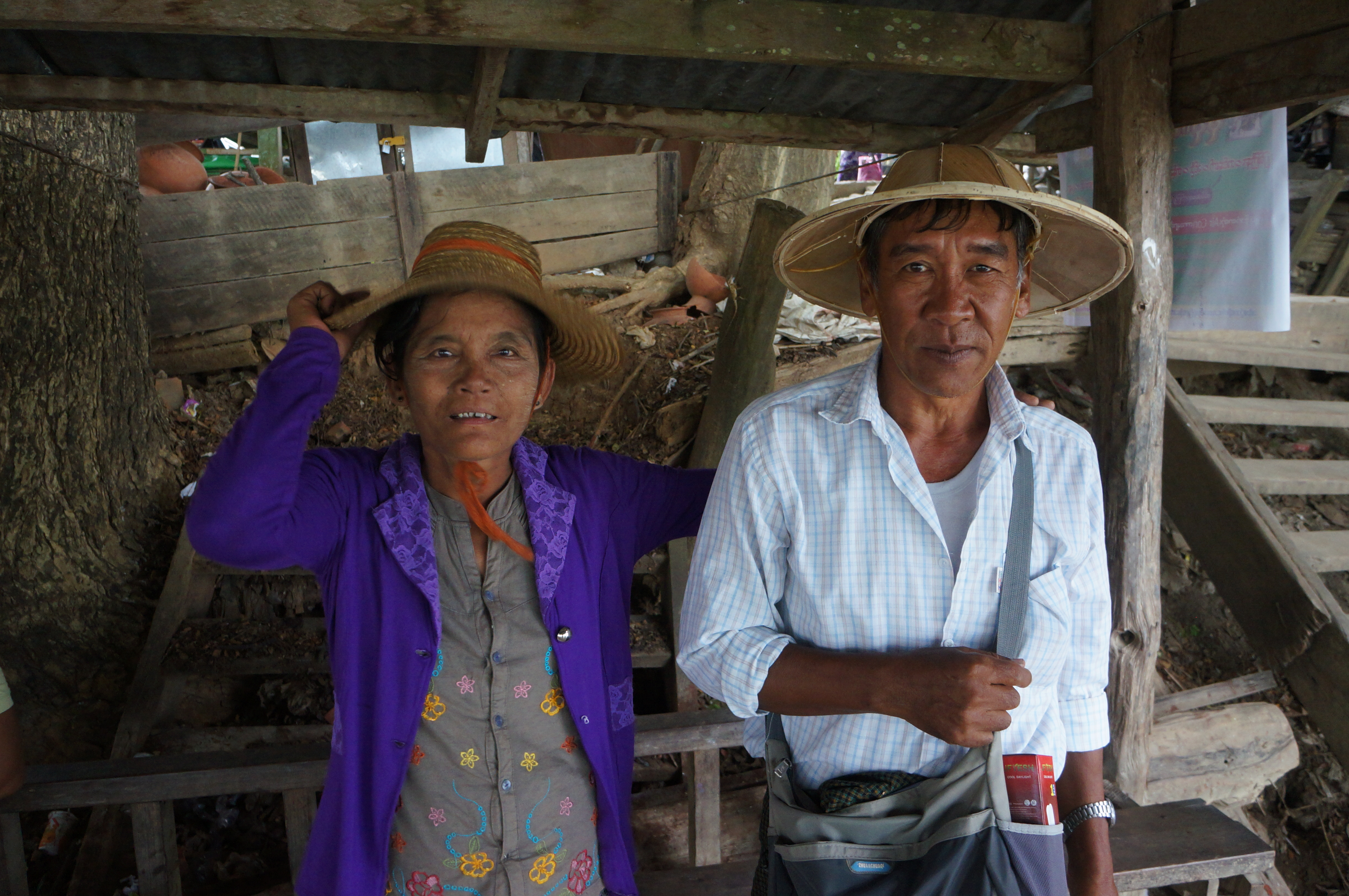
Mr. Chiu and his friend

Mr. Chiu and his friends

A hospital at Katha

Milk tea and buns

Three local girls at Katha
Two locals at Katha

Two locals at Katha

Ayeyarwady River at Katha
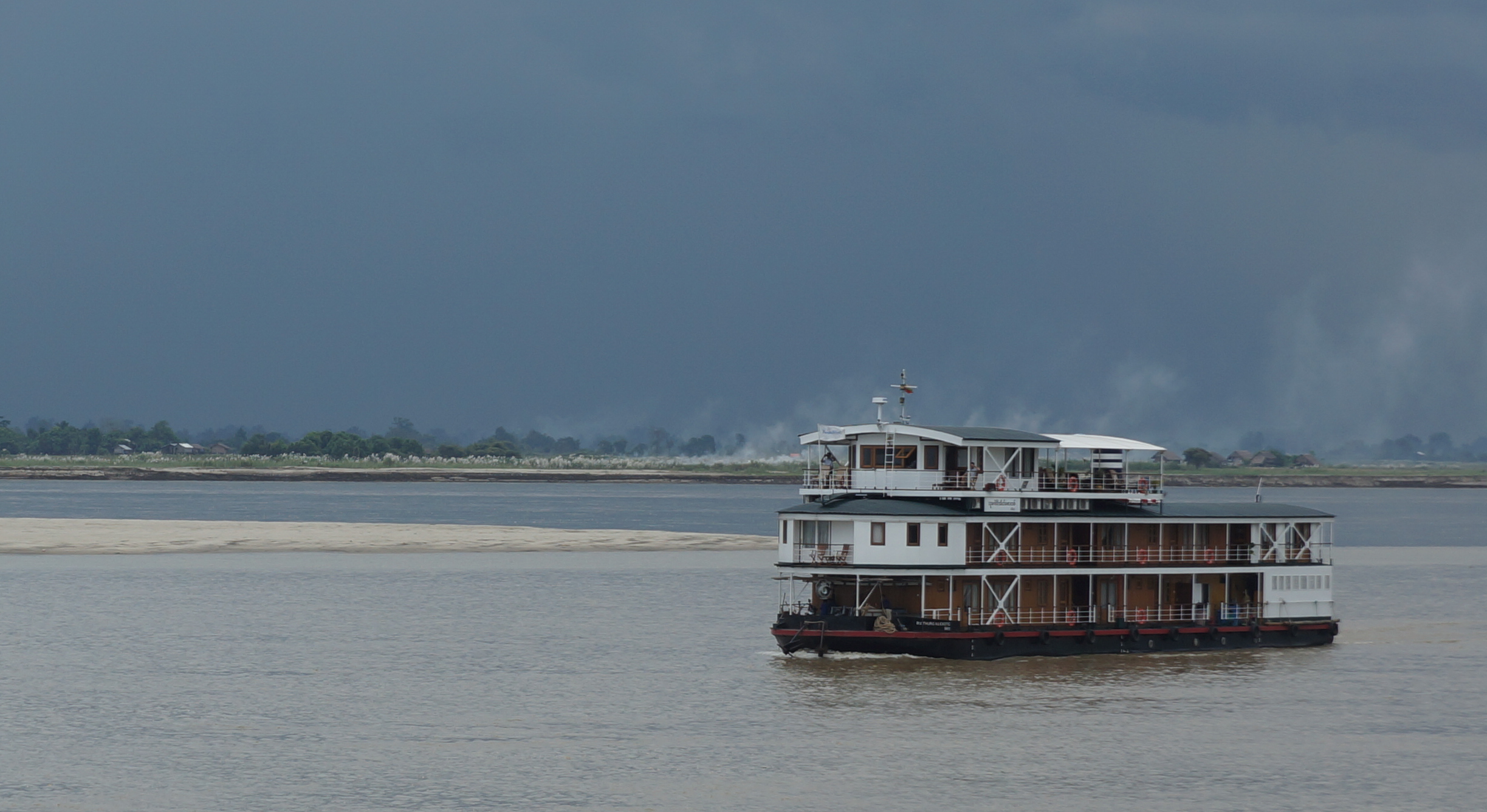
Ayeyarwady River at Katha
Topographic Map of Katha, Myanmar (Burma)
Find elevation by address:
Places near Katha, Myanmar (Burma):
မြို့ဦးစေတီ Myo Oo Pagoda
Reclining Buddha Image
Indaw
Tan Yaw Zin
Memorial Pagoda
Let Pan Gone
Katha
Shwegu
Banmauk
Mohnyin
Zalon Taung Pagoda
Indawgyi Lake
Recent Searches:
- Elevation of 104, Chancery Road, Middletown Township, Bucks County, Pennsylvania, 19047, USA
- Elevation of 1212, Cypress Lane, Dayton, Liberty County, Texas, 77535, USA
- Elevation map of Central Hungary, Hungary
- Elevation map of Pest, Central Hungary, Hungary
- Elevation of Pilisszentkereszt, Pest, Central Hungary, Hungary
- Elevation of Dharamkot Tahsil, Punjab, India
- Elevation of Bhinder Khurd, Dharamkot Tahsil, Punjab, India
- Elevation of 2881, Chabot Drive, San Bruno, San Mateo County, California, 94066, USA
- Elevation of 10370, West 107th Circle, Westminster, Jefferson County, Colorado, 80021, USA
- Elevation of 611, Roman Road, Old Ford, Bow, London, England, E3 2RW, United Kingdom
- Elevation of 116, Beartown Road, Underhill, Chittenden County, Vermont, 05489, USA
- Elevation of Window Rock, Colfax County, New Mexico, 87714, USA
- Elevation of 4807, Rosecroft Street, Kempsville Gardens, Virginia Beach, Virginia, 23464, USA
- Elevation map of Matawinie, Quebec, Canada
- Elevation of Sainte-Émélie-de-l'Énergie, Matawinie, Quebec, Canada
- Elevation of Rue du Pont, Sainte-Émélie-de-l'Énergie, Matawinie, Quebec, J0K2K0, Canada
- Elevation of 8, Rue de Bécancour, Blainville, Thérèse-De Blainville, Quebec, J7B1N2, Canada
- Elevation of Wilmot Court North, 163, University Avenue West, Northdale, Waterloo, Region of Waterloo, Ontario, N2L6B6, Canada
- Elevation map of Panamá Province, Panama
- Elevation of Balboa, Panamá Province, Panama