Elevation map of Mohave County, AZ, USA
Location: United States > Arizona >

Longitude: -113.76328

Latitude: 35.2143346

Elevation: 1374m / 4508feet

Barometric Pressure: 86KPa

Elevation Map:

elevation map of Mohave County, AZ, USA
Satellite Map:

Satellite map of Mohave County, AZ, USA
Related Photos:

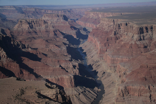
arizona usa nature america nationalpark rocks december unitedstates native plateau grandcanyon unitedstatesofamerica flight az coloradoriver gorge 2009 cessna hopi cvu meteorry grandcanyonairlines mohavecounty coconinocounty cessnat207a
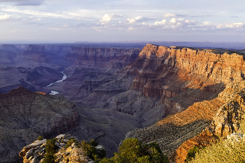
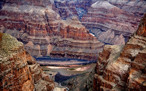
Flying over the Grand Canyon (Arizona USA)
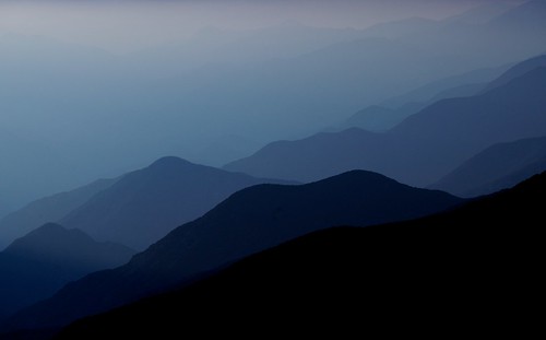
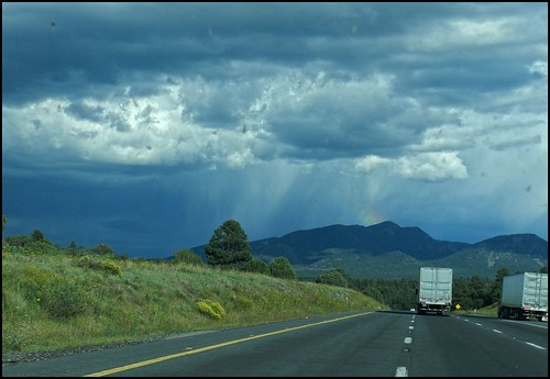
road county travel arizona panorama mountains landscape open forsale perspective hills getty mohave jul13
Hills put in perspective by Road
mountain clouds skilift mtbaldy mtsanantonio californianationalforest
MT BALDY - MT SAN ANTONIO
arizona mountain mountains southwest nature landscape outdoors view adventure boulders valley edge granite gnarly vista overlook exploration windypoint mohavecounty pinyonpine ruggedterrain cerbatmountains zoniedude1 northwestaz earthnaturelife canonpowershotg12 mountainousvista 6120ftelevation
Mountainous Vista
auto street old city arizona urban food usa southwest building history phoenix car sign wall facade dinner america vintage lunch restaurant cafe essen automobile unitedstates comida diner historic mexican schild american transportation signage vehicle latino hispanic 1960s 1980s letrero nourriture sixties eten alimentation signe almuerzo southwestern pagkain época signo clásico carolinas nahrung lebensmittel maricopacounty nahrungsmittel teken uithangbord comestible añejo
Urban Restaurant: Carolina's Mexican Food, "The Best Tortillas in Town!" -- Phoenix, Arizona
travel arizona usa holiday nature america landscape nationalpark nikon grandcanyon roadtrip grandcanyonnationalpark brightangeltrail d5300
View from Bright Angel Trail - Grand Canyon (Arizona, USA)
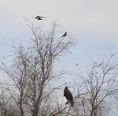
Harris's Hawk looking at two Western Kingbirds
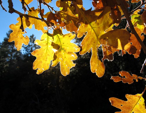
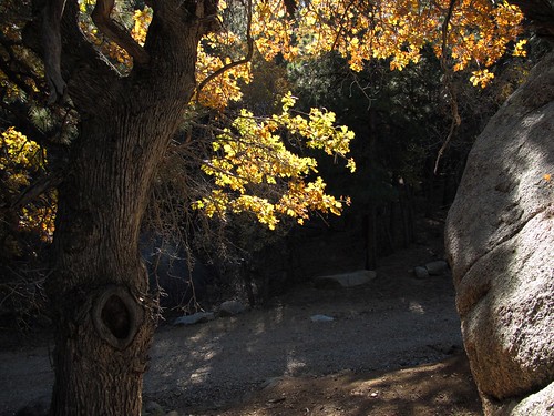
autumn trees arizona mountain southwest detail macro nature leaves closeup forest outdoors oak hiking fallcolors sunlit exploration discovery hualapaimountains lasthurrah mohavecounty hualapaimountainpark gambelsoak zoniedude1 quercusgambelii nwaz canonpowershotg11 earthnaturelife sunlitoak 6900ftelevation
Last Hurrah
autumn trees arizona mountain southwest nature leaves forest outdoors oak hiking fallcolors sunlit exploration discovery hualapaimountains mohavecounty hualapaimountainpark gambelsoak zoniedude1 quercusgambelii nwaz canonpowershotg11 earthnaturelife sunlitoak 6900ftelevation
Sunlit Oak
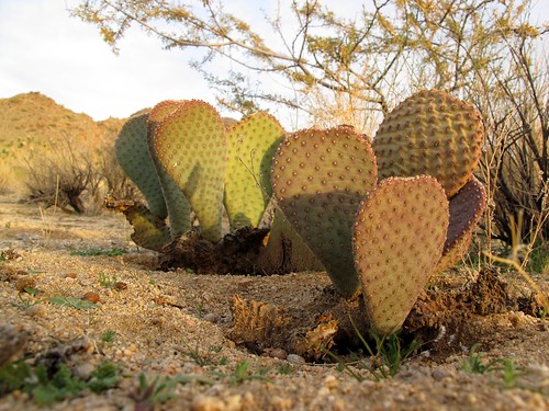
light sunset arizona cactus southwest detail macro nature closeup outdoors flora view desert pov hiking perspective illumination explore wilderness pricklypear boundary exploration discovery sonorandesert warmlight mojavedesert beavertailcactus beavertailpricklypear opuntiabasilaris glochids mohavecounty mixedspecies downinthedirt zoniedude1 canonpowershotg11 earthnaturelife ecosystemoverlap wabayumapeakwilderness thedayismashedmythumbinthetruckdoor
Beaver Tails
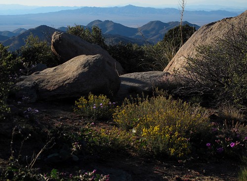
autumn arizona mountain mountains southwest nature landscape outdoors view adventure boulders valley edge granite gnarly vista wildflowers overlook exploration blm windypoint mohavecounty ruggedterrain cerbatmountains zoniedude1 northwestaz earthnaturelife canonpowershotg12 mountainousvista 6120ftelevation bloomingmountaintop
Blooming Mountaintop
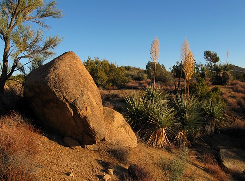
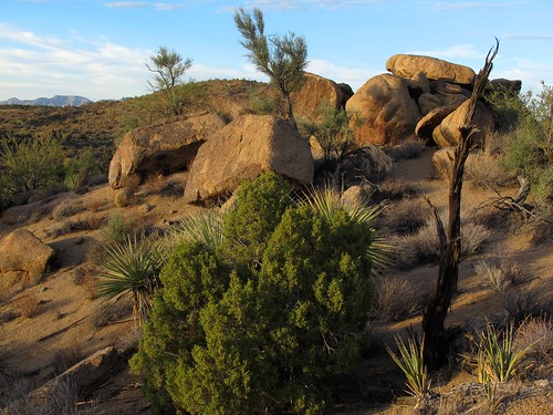
light arizona southwest nature landscape outdoors rocks december afternoon shadows desert granite exploration discovery yucca plantlife junipers mohavecounty mormontea nothingaz canonpowershota720is zoniedude1 earthnaturelife poachierange ecosystemoverlap
Seldom Visited
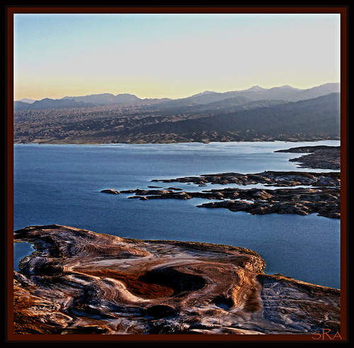
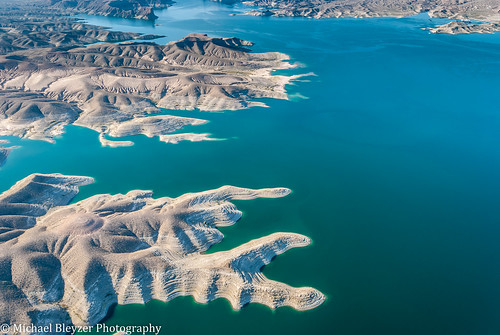
park travel blue arizona sky terrain usa mountain lake black mountains color tourism nature water rock stone america river airplane landscape outdoors high colorado view desert lasvegas dam nevada aerialview canyon reservoir formation national hooverdam lakemead geography geology mohave topography nationalrecreationarea fromwindow meadlake fromtheairplane clarkcounty geologic mohavecounty
View of Lake Mead National Recreation Area, Arizona and Nevada
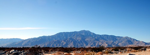
california mountains whitewater view unitedstates wind earth farm pass peak mojave bajacalifornia southerncalifornia sublime santarosa peninsula 1980s range johnmuir windfarm mohave serrano sanjacinto spectacle sanbernardino snowcreek windturbines sangorgonio altamontpass riversidecounty interstate10 santarosamountains sanjacintomountains sr62 sanbernardinomountains sangorgoniopass sanjacintopeak tehachapipass sainthyacinth sangorgoniopasswindfarm ayaqaych peninsularranges stateroute62 californiastateroute62 aviihanupach mohavelanguage mojavelanguage serranolanguage casr62
San Jacinto Mountains and San Gorgonio Pass Wind Farm
november light wild arizona cactus southwest nature landscape outdoors rocks afternoon shadows desert granite remote saguaro exploration discovery yucca joshuatrees plantlife outthere naturesfinest ephedra junipers mohavecounty mormontea zoniedude1 canonpowershotg11 poachierange ecosystemoverlap
Desert Rockscape
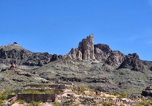
arizona landscape route66 mining rockformations oatman nikond7000 nikkor18to200mmvrlens
Scene Entering Oatman
road trip travel arizona usa america canon photography eos us nationalpark colorado view grandcanyon canyon 7d gran np hueso westcoast estates cañon estados grandcanyonnationalpark unidos 5photosaday flickraward mygearandmepremium flickrtravelaward musictomyeyeslevel1 javierhueso
Grand Canyon
november light wild arizona southwest nature landscape outdoors rocks afternoon shadows desert granite remote exploration discovery yucca plantlife outthere ephedra mohavecounty mormontea zoniedude1 canonpowershotg11 earthnaturelife poachierange ecosystemoverlap sunsetrockgarden
Sunset Rock Garden
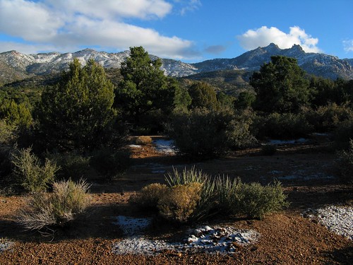
winter arizona snow mountains southwest nature clouds forest landscape outdoors december bluesky exploration hualapaimountains firstsnowfall mohavecounty canonpowershota720is zoniedude1 pinyonjuniperforest azwwinter
Winter Arrives
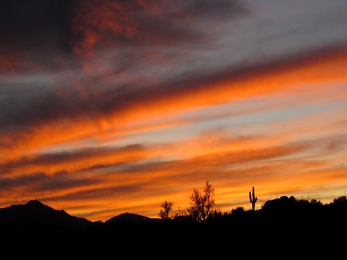
november light sunset wild arizona cactus sky mountains southwest nature clouds outdoors evening colorful shadows desert sundown silhouettes remote nophotoshop saguaro exploration discovery brilliant wildwest mohavecounty zoniedude1 canonpowershotg11 earthnaturelife poachierange
Wild West
world park county morning blue light arizona sky people usa white green heritage nature colors clouds america canon point landscape person eos rocks colours village view desert south sightseeing scenic himmel grand canyon 64 unesco route thoughts national blau aussicht rim polarized amerika landschaft 1022mm eruption dreamscape farben counties weltkulturerbe mohave coconino felsen cokin yavapai westernus gedanken vereinigtestaaten neutraldensityfilter graduatedneutraldensityfilter tusayan ndf 60d gndf simonmangold
Deep in thought
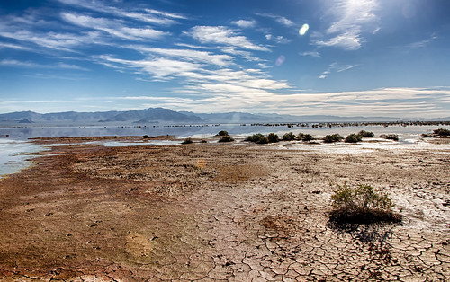
arizona usa water colors river landscape sand colorado aerial badlands breathe wasteland mohave frameit magisterartium
Don't Forget to Breathe...
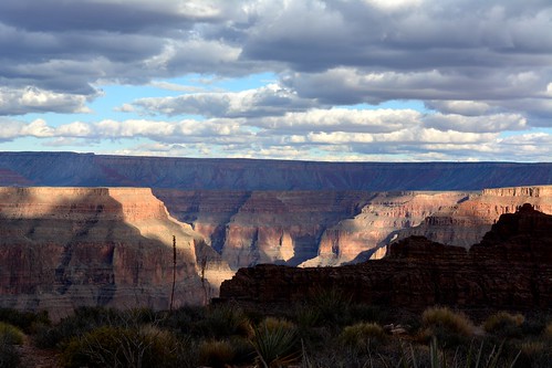
arizona rocks grandcanyon eaglepoint israeldealba
Grand Canyon at Eagle Point
arizona southwest clouds landscape desert dxo canyons canonef28135is fromyoutous
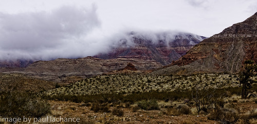
low cloud, no rain
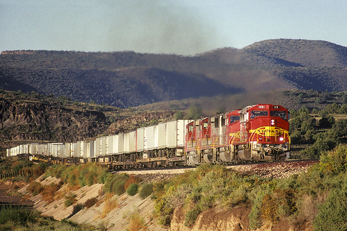
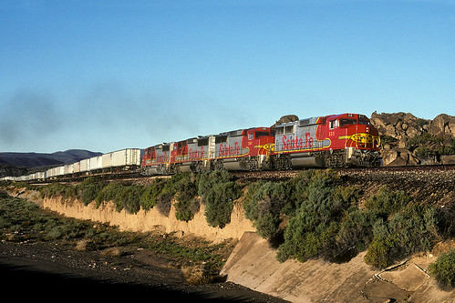
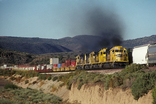
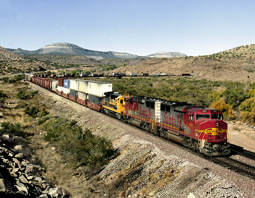
1990-10-02 ATSF 113 Truxton, AZ
arizona nikon grandcanyon grand canyon westrim
GRAND CANYON,ARIZONA
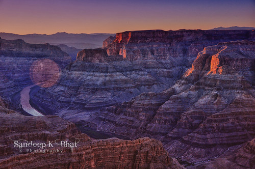
sunset west colors rock river nikon colorado grandcanyon hdr flw formations guanopoint d90
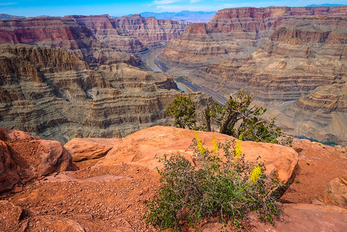
Colors of Grand Canyon West
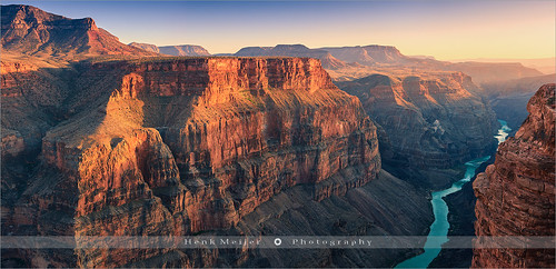
light sunset arizona sky panorama usa mountain nature water horizontal wall america canon river landscape outdoors photography evening landscapes rocks stream glow pano north wide tranquility grand nopeople panoramic canyon cascades coloradoriver walls geology np rim naturalwonder cascade sedimentary meijer henk northrim grandcanyonnationalpark tuweep traveldestinations colorimage toroweap grandcanyonnpnorthrim spectacularview grandcanyonnorthrim canyonwalls physicalgeography floydian leefilters mightycolorado canoneos1dsmarkiii henkmeijer
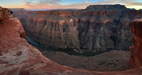
Toroweap - Grand Canyon N.P - Arizona
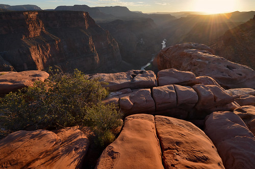
sunset arizona tramonto hiking hike erosion coloradoriver geology northrim grandcanyonnationalpark tuweep toroweap mohavecounty ladigue99
Sunset at Toroweap
arizona nevada coloradoriver coloradoplateau
Colorado River 2
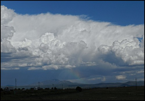
Late Afternoon Thunderstorm
arizona sunrise alba hiking grandcanyon hike erosion coloradoriver geology northrim geologia tuweep toroweap mohavecounty erosione ladigue99
Sunrise at Toroweap
1990-10-02 0731 ATSF 113 Truxton, AZ
arizona usa plant nature america river landscape rocks fuji north grand canyon fujifilm colerado xtrans
Grand Canyon_290315_1566
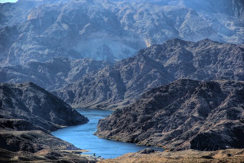
coloradoriver hdr willowbeachmaz
Willow Beach, Colorado River. View Large
1990-10-02 0755 ATSF 5209 Truxton, AZ
railroad arizona train rail railway az bnsf crozier kingman atsf
ValentineAZ Tuesday November 5th 1991 1413MST L-1302
arizona west grandcanyon entrance grand canyon valley coloradoriver
grand canyon, arizona
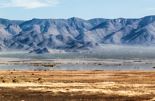
arizona water landscape unitedstates northernarizona hdr redlake mohavecounty dolansprings hualapaivalley
R_Red_Lake_23OCT2014-100_HDR-Edit.jpg
blue nature river landscape desert nevada ngc coloradoriver moutains
Colorado river
Late Afternoon Thunderstorm
arizona plants water landscape bush unitedstates northernarizona hdr kingman redlake mohavecounty hualapaivalley
R_Red_Lake_23OCT2014-43_HDR-Edit.jpg