Elevation of Peach Springs, AZ, USA
Location: United States > Arizona > Mohave County >
Longitude: -113.42549
Latitude: 35.5291589
Elevation: 1484m / 4869feet
Barometric Pressure: 85KPa
Elevation Map:
Satellite Map:
Related Photos:
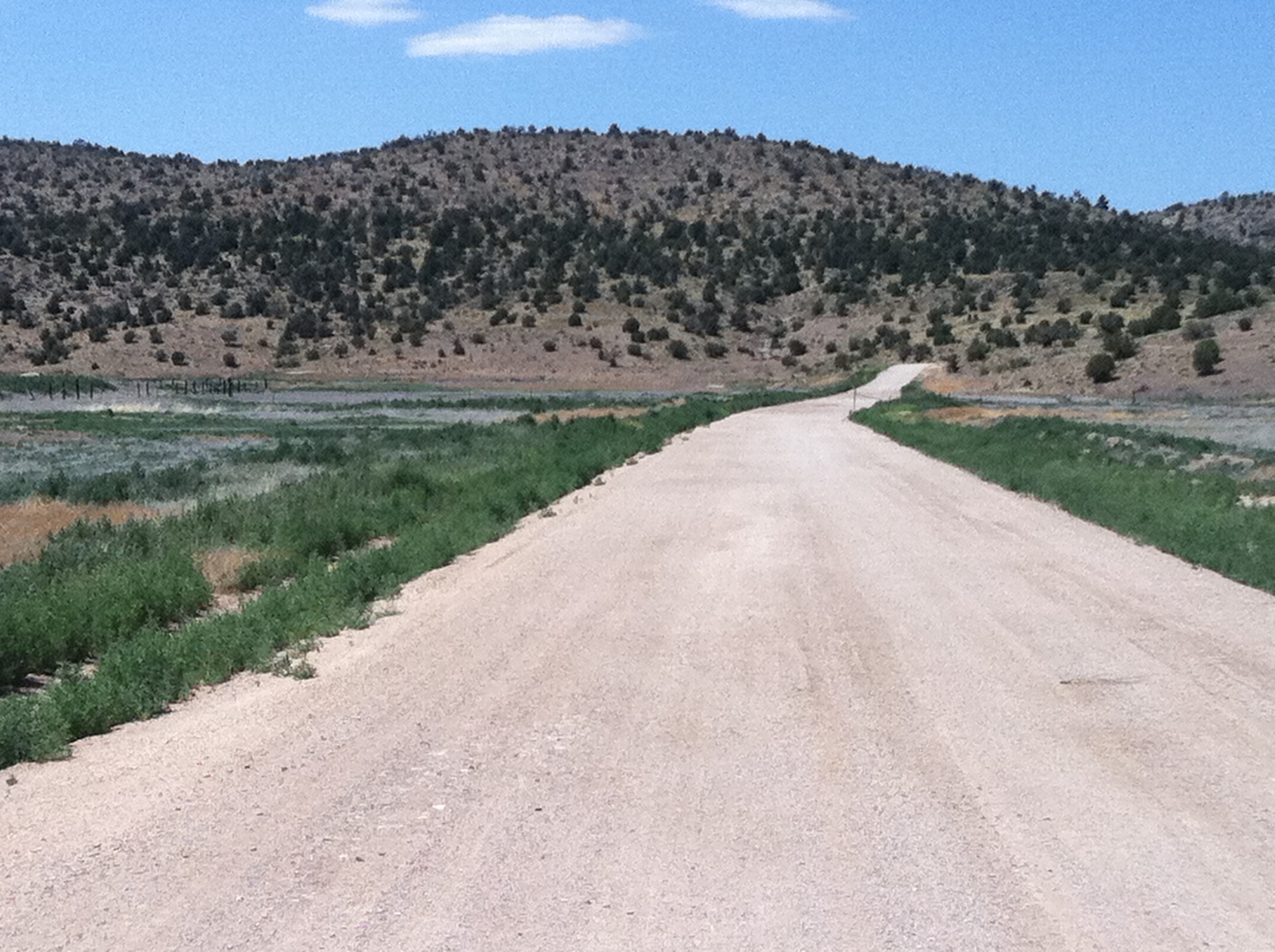
Route 66 2011 0418

Quiet route 66
Topographic Map of Peach Springs, AZ, USA
Find elevation by address:

Places in Peach Springs, AZ, USA:
Places near Peach Springs, AZ, USA:
Pumphouse Road
AZ-66, Kingman, AZ, USA
Truxton
Peaceful Hill Road
AZ-66, Seligman, AZ, USA
Diamond Creek Beach
AZ-66, Valentine, AZ, USA
Valentine
18676 E Globe Willow Dr
3158 N Mapuana Trl
Stagecoach Well Drive
Hackberry
11375 E Spring Valley Dr #1
10411 E Amber Ct
E Bluebird Ln, Kingman, AZ, USA
East Mona Drive
Antares
Cll Vaca, Seligman, AZ, USA
35770 Amber Ridge Rd
Amber Ridge Road
Recent Searches:
- Elevation of Corso Fratelli Cairoli, 35, Macerata MC, Italy
- Elevation of Tallevast Rd, Sarasota, FL, USA
- Elevation of 4th St E, Sonoma, CA, USA
- Elevation of Black Hollow Rd, Pennsdale, PA, USA
- Elevation of Oakland Ave, Williamsport, PA, USA
- Elevation of Pedrógão Grande, Portugal
- Elevation of Klee Dr, Martinsburg, WV, USA
- Elevation of Via Roma, Pieranica CR, Italy
- Elevation of Tavkvetili Mountain, Georgia
- Elevation of Hartfords Bluff Cir, Mt Pleasant, SC, USA