Elevation of East Dubois Drive, E Dubois Dr, Arizona, USA
Location: United States > Arizona > Mohave County > Kingman >
Longitude: -113.78895
Latitude: 35.1754886
Elevation: 1289m / 4229feet
Barometric Pressure: 87KPa
Elevation Map:
Satellite Map:
Related Photos:

Cactus Rock

Last Hurrah

Oaks and Pines

Sunlit Oak

118/365 = Hualapai Mountain Park-for April 28 2010

My view. #roadtovegas
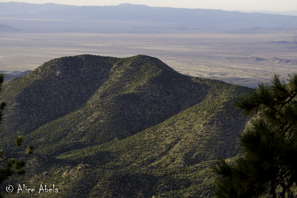
Hualapai Mountain View

Hualapai Mountain View

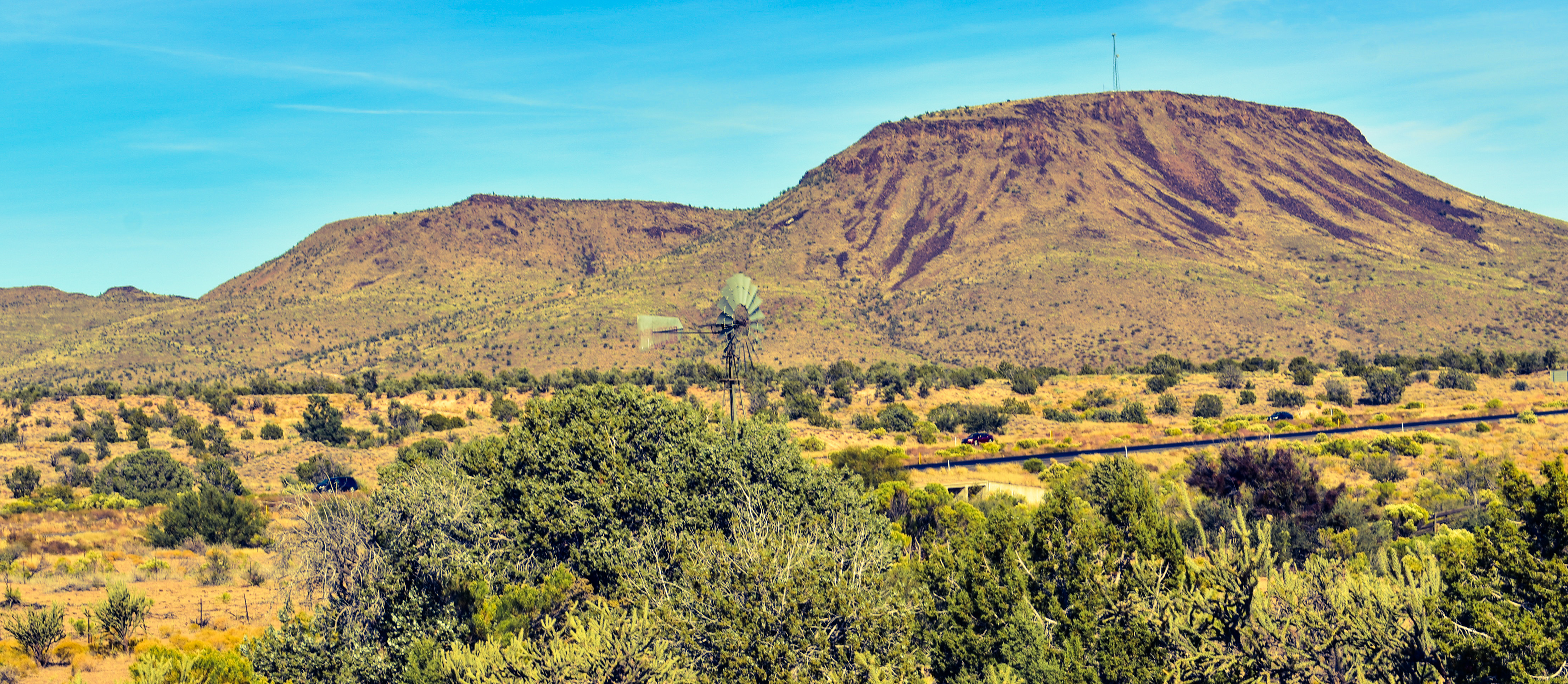
View from Hualapai Mountains ~ Kingman Arizona

View from the summit
Up at the Junction

I-40 Eastbound East of Kingman, Arizona

Road into the Hills

Snow > Mud

Arizona Landscape

Amelanchier utahensis - Utah Serviceberry

US-93 North Approaching I-40

Dean Peak Fire

Interstate 40 Eastbound and US 93 Southbound In Mohave County

2009-08-12_16-14-44

Wonderful week in Arizona!

Test - Hualapai mountain park

Trail Head #2

Trail Head #1

Driving Scapes: Route between Kingman & Phoenix AZ.
Topographic Map of East Dubois Drive, E Dubois Dr, Arizona, USA
Find elevation by address:

Places near East Dubois Drive, E Dubois Dr, Arizona, USA:
9315 E Blake Ranch Rd
Mohave County
2719 S Dw Ranch Rd
6240 N Corral Rd
10411 E Amber Ct
1921 S Sam Ln
8998 E Five Wells Rd
14186 E Austin Peak Rd
East Mona Drive
11375 E Spring Valley Dr #1
Hackberry
7456 Cochise Cir B
7338 Ironwood Cir
9409 N Bridlebit Ave
9315 Broken Rock Dr
7587 Brigade Dr
Valle Vista Country Club & Golf Course
7541 Vista Dr
Stagecoach Well Drive
E Bluebird Ln, Kingman, AZ, USA
Recent Searches:
- Elevation of Corso Fratelli Cairoli, 35, Macerata MC, Italy
- Elevation of Tallevast Rd, Sarasota, FL, USA
- Elevation of 4th St E, Sonoma, CA, USA
- Elevation of Black Hollow Rd, Pennsdale, PA, USA
- Elevation of Oakland Ave, Williamsport, PA, USA
- Elevation of Pedrógão Grande, Portugal
- Elevation of Klee Dr, Martinsburg, WV, USA
- Elevation of Via Roma, Pieranica CR, Italy
- Elevation of Tavkvetili Mountain, Georgia
- Elevation of Hartfords Bluff Cir, Mt Pleasant, SC, USA