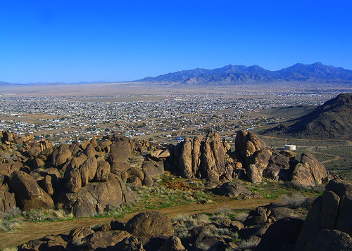
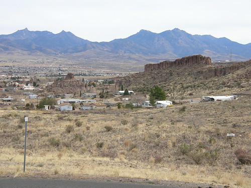
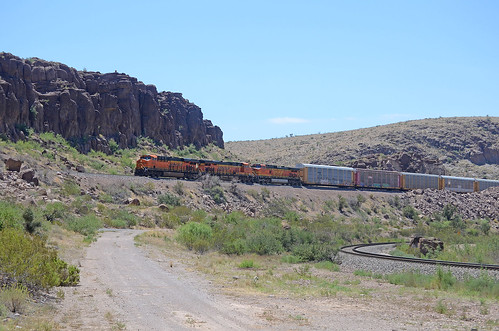
Elevation of Kingman, AZ, USA
Location: United States > Arizona > Mohave County >
Longitude: -114.05300
Latitude: 35.189443
Elevation: 1021m / 3350feet
Barometric Pressure: 90KPa
Related Photos:
Topographic Map of Kingman, AZ, USA
Find elevation by address:

Places in Kingman, AZ, USA:
Hualapai Peak
E Bluebird Ln, Kingman, AZ, USA
AZ-66, Kingman, AZ, USA
Historic Rte 66, Kingman, AZ, USA
AZ-66, Kingman, AZ, USA
Kingman, AZ, USA
East Mona Drive
South Surrey Loop
East Dubois Drive
East Calle Sonoita Drive
North Willow Road
North Willow Road
North Willow Road
North Willow Road
Places near Kingman, AZ, USA:
110 Spruce St
1001 Gates Ave
1000 Stockton Hill Rd
1000 Stockton Hill Rd
2355 Golf Dr
2500 Western Ave
3245 E Louise Ave
530 E Berk Ave
419 Harrison St
2250 Hualapai Mountain Rd
1099 Sunrise Ave
800 Wilshire Ave
2044 Airfield Ave
Kingman Orthopedics
419 Harrison St
Howard M. Schonberger
3300 Stockton Hill Rd
2624 Walapai Ave
Kingman Goodwill Retail Store, Donation Center & Self Serve Neighborhood Career Center
2628 Walapai Ave
Recent Searches:
- Elevation of Corso Fratelli Cairoli, 35, Macerata MC, Italy
- Elevation of Tallevast Rd, Sarasota, FL, USA
- Elevation of 4th St E, Sonoma, CA, USA
- Elevation of Black Hollow Rd, Pennsdale, PA, USA
- Elevation of Oakland Ave, Williamsport, PA, USA
- Elevation of Pedrógão Grande, Portugal
- Elevation of Klee Dr, Martinsburg, WV, USA
- Elevation of Via Roma, Pieranica CR, Italy
- Elevation of Tavkvetili Mountain, Georgia
- Elevation of Hartfords Bluff Cir, Mt Pleasant, SC, USA
