Elevation of Mitchell Road, Mitchell Rd, California, USA
Location: United States > California > Humboldt County > Hoopa >
Longitude: -123.7558
Latitude: 41.2150039
Elevation: 195m / 640feet
Barometric Pressure: 0KPa
Related Photos:

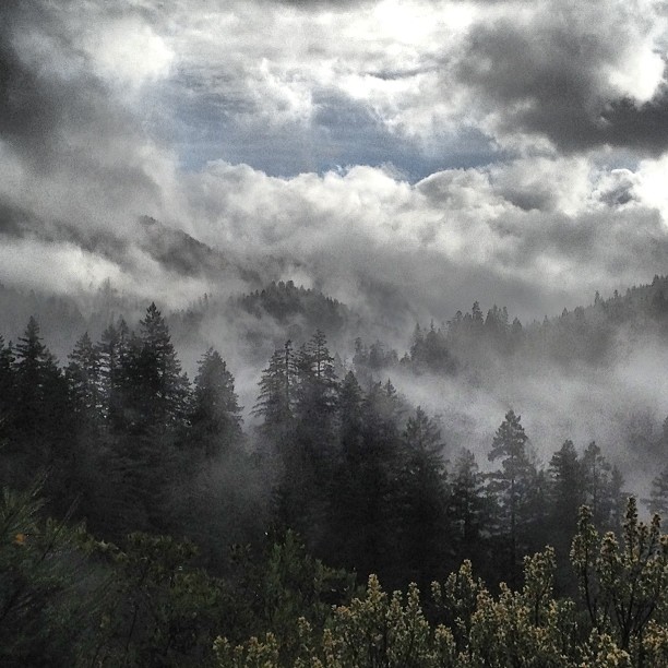
Heavy Snow, Bald Hills, Redwood National Park, CA
Hwy 169 to Bald Hills Rd

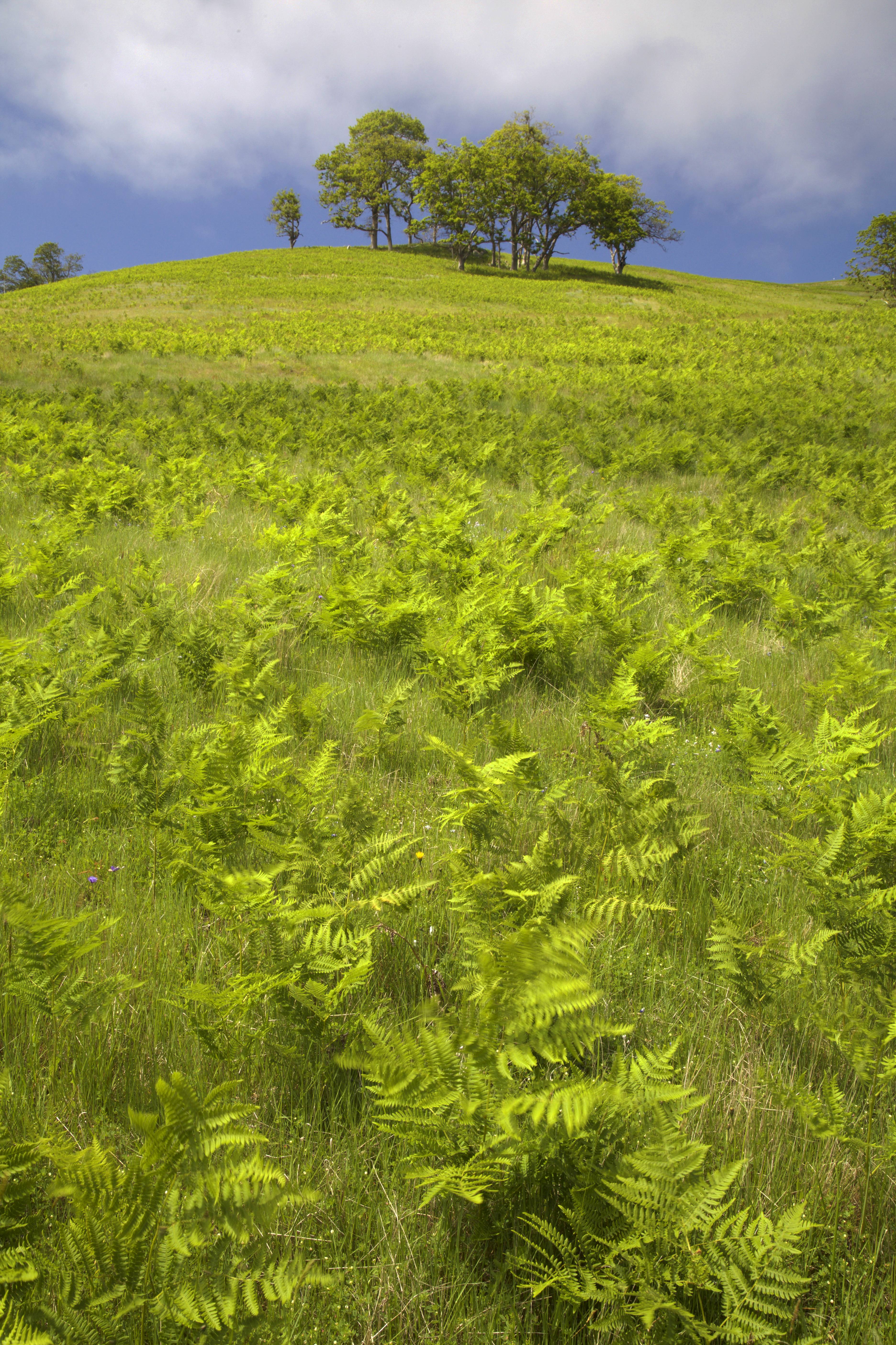
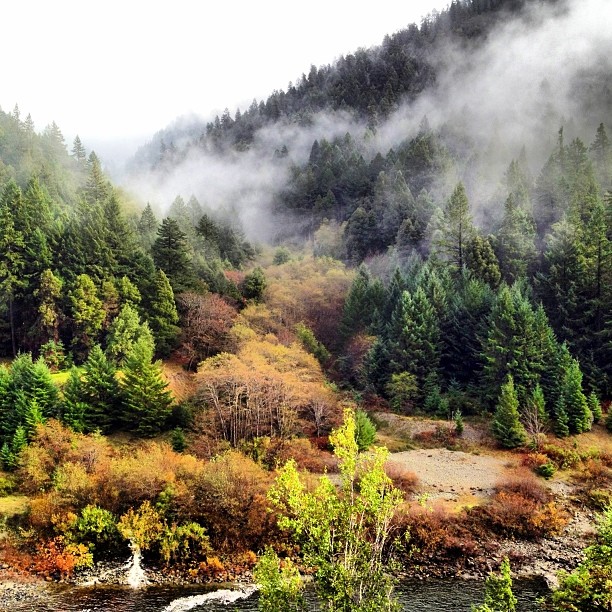
Mountains of Humboldt County, California
Redwood National Park?, Yes, The Bald Hills, Humboldt County, CA, Soring 2016

Shelton Butte, Humboldt County, 13 Feb 2014.
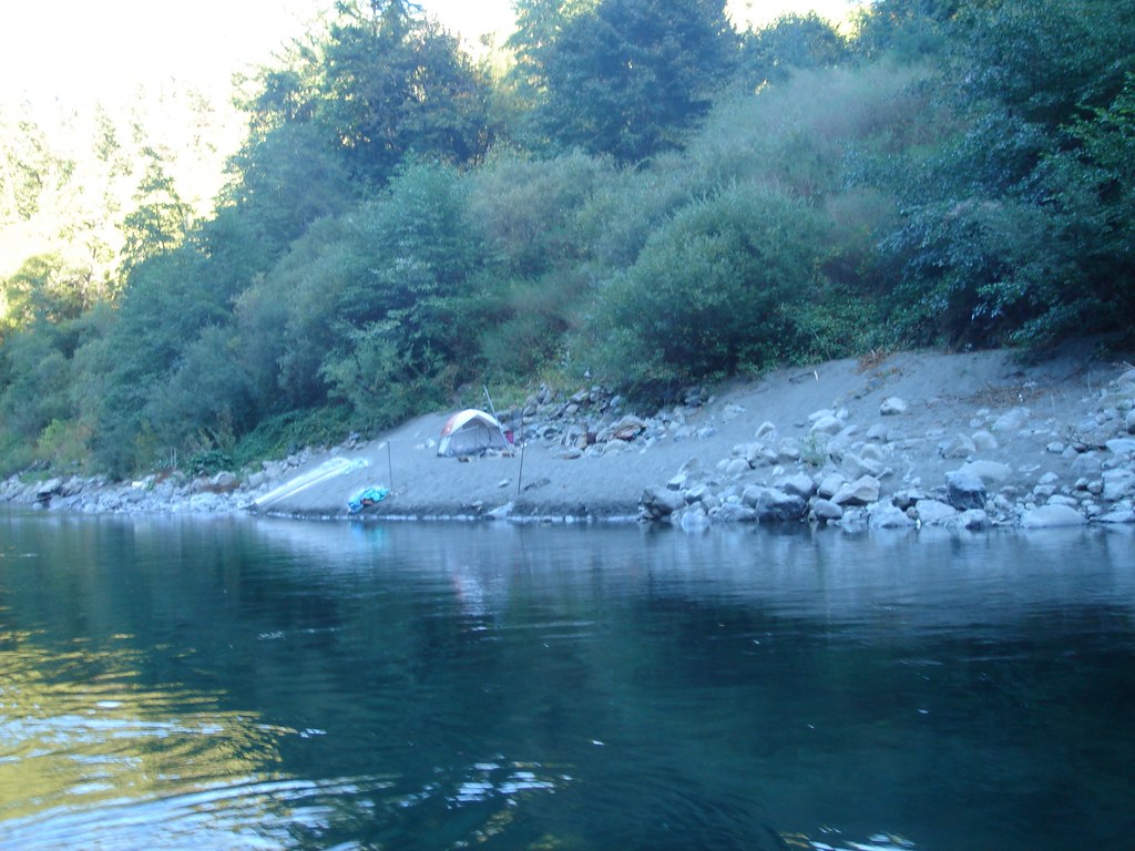
Gil netters camp

Snow on the Bald Hills, Redwood National Park, January 2013
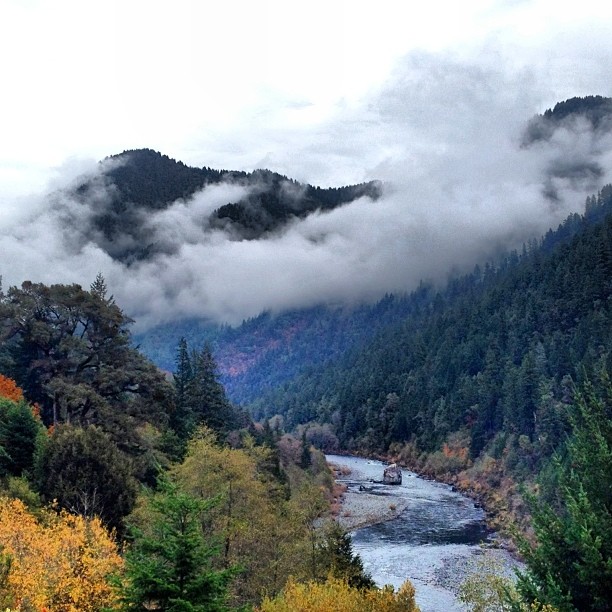
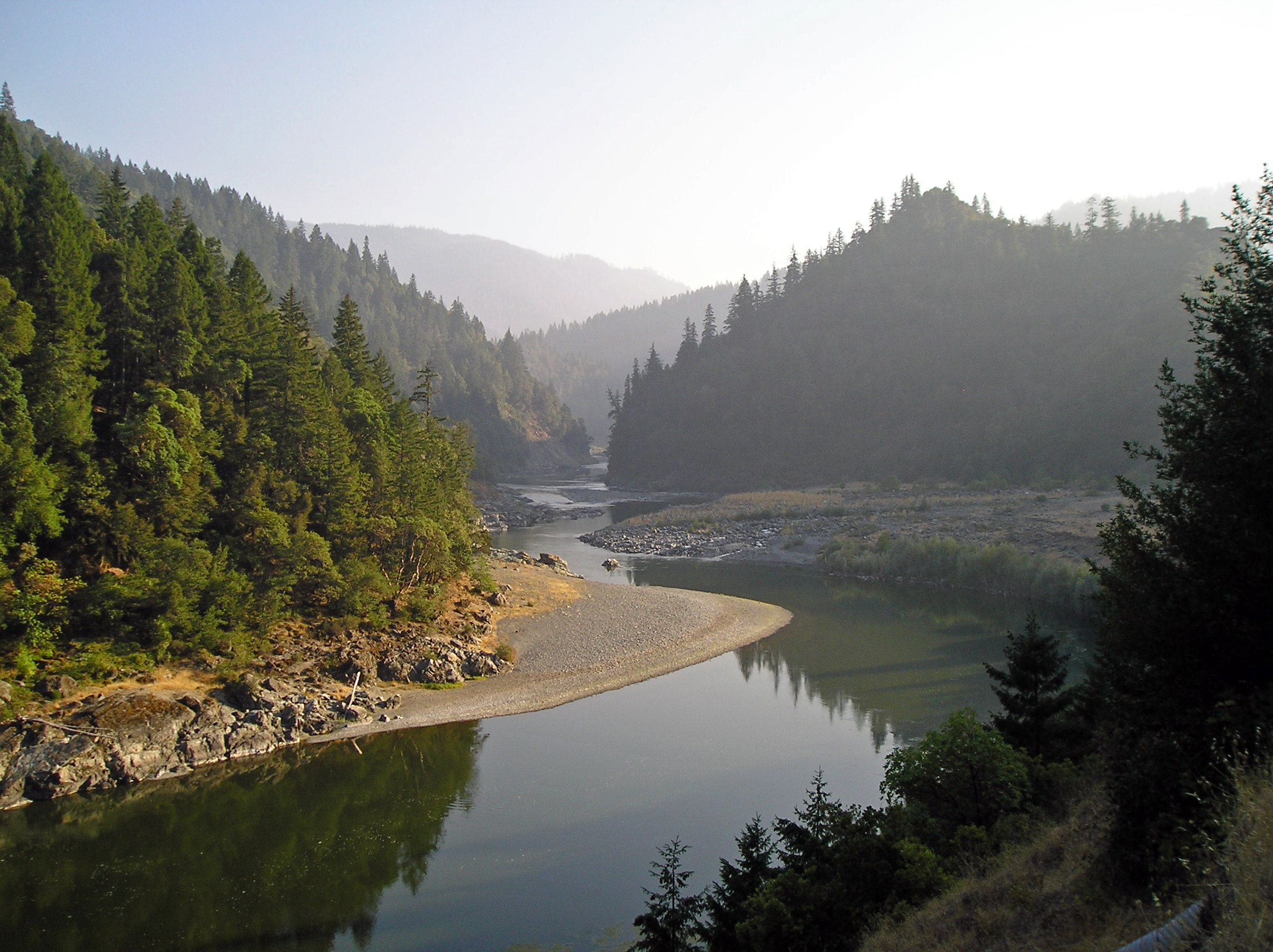
Trinity River near Hoopa

Winter squash, dying suns. 19 Dec 2012.
Lovingly embracing Shelton Butte, 11-12-13
Mouth of Hopkins Creek along the Klamath River, Weitchpec. 19 Nov 2013
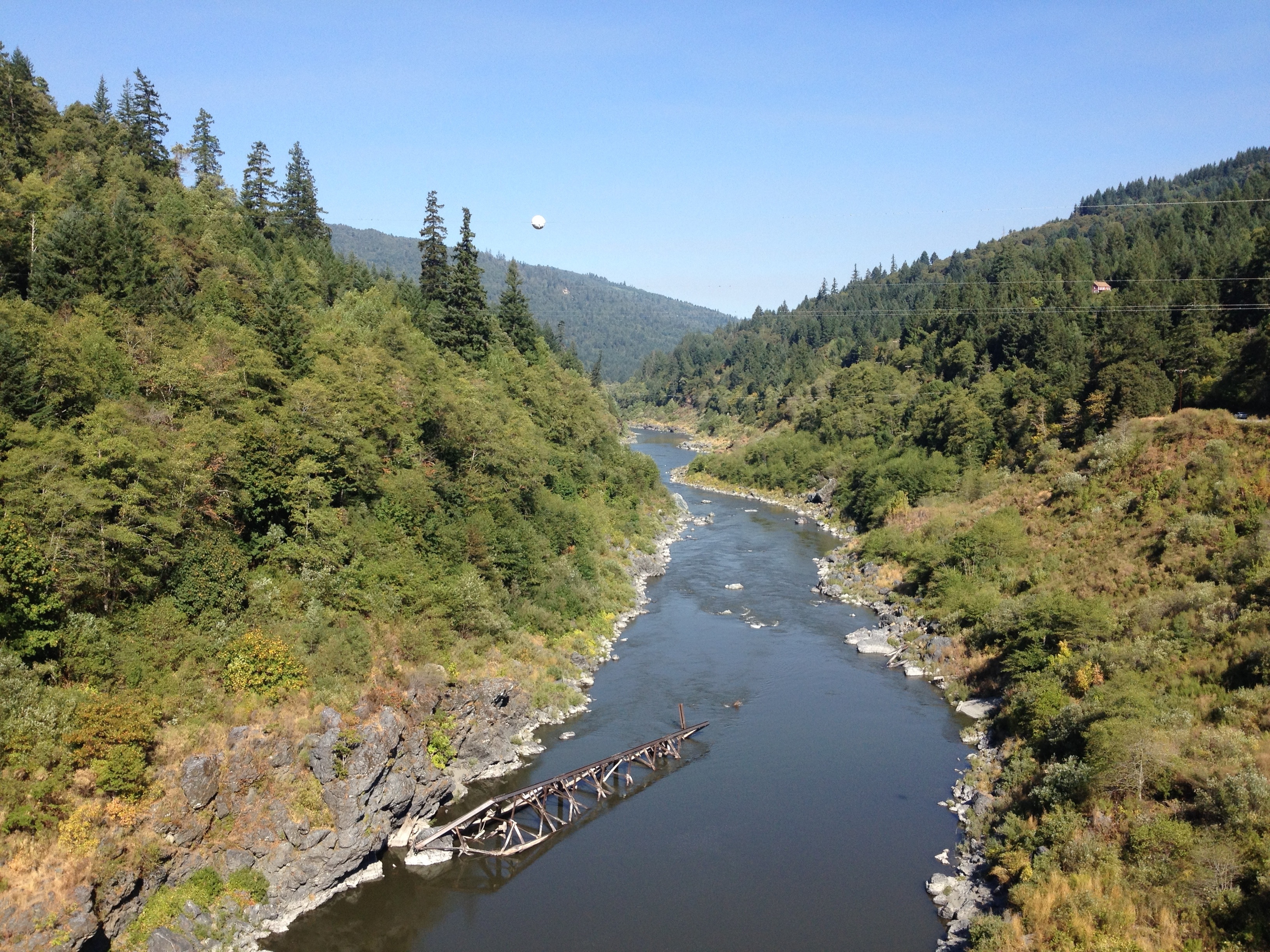
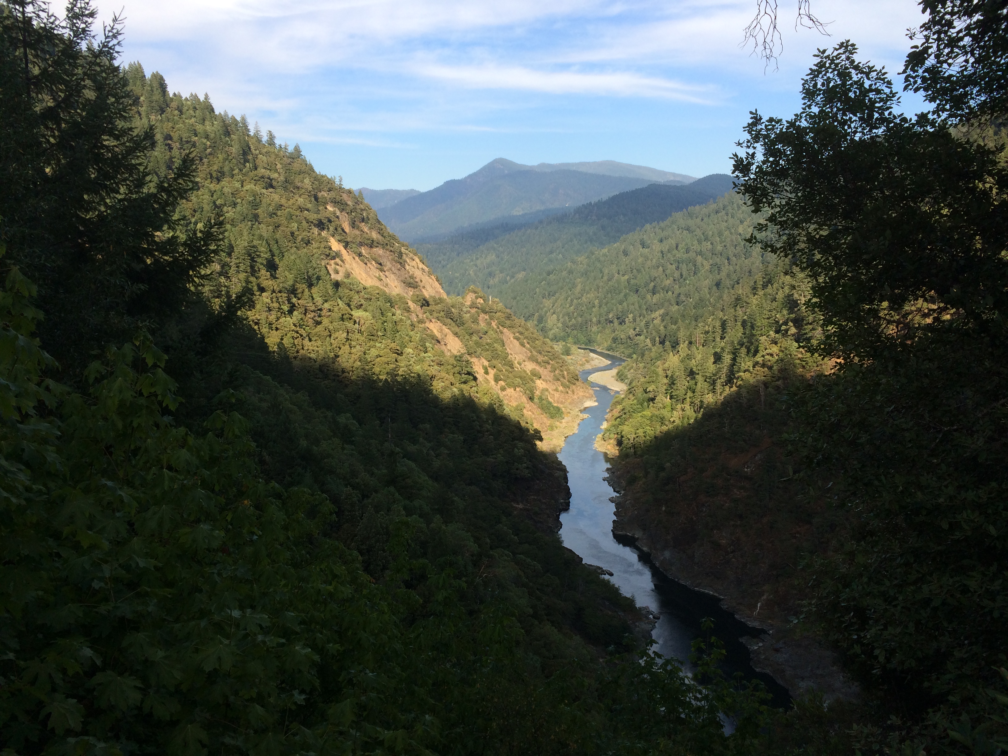
Trinity River gorge above Weitchpec. 19 Nov 2013.

Roosevelt Elk # 3
Calm Waters
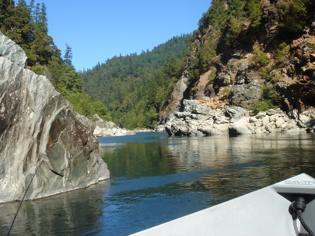
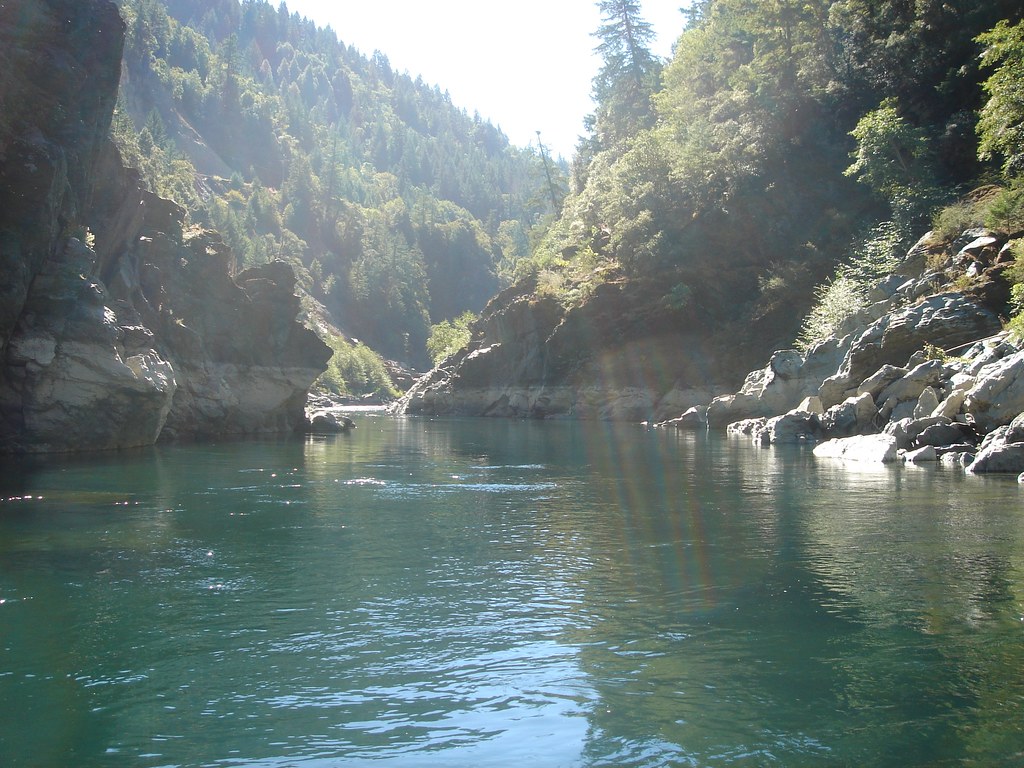
Klamath River
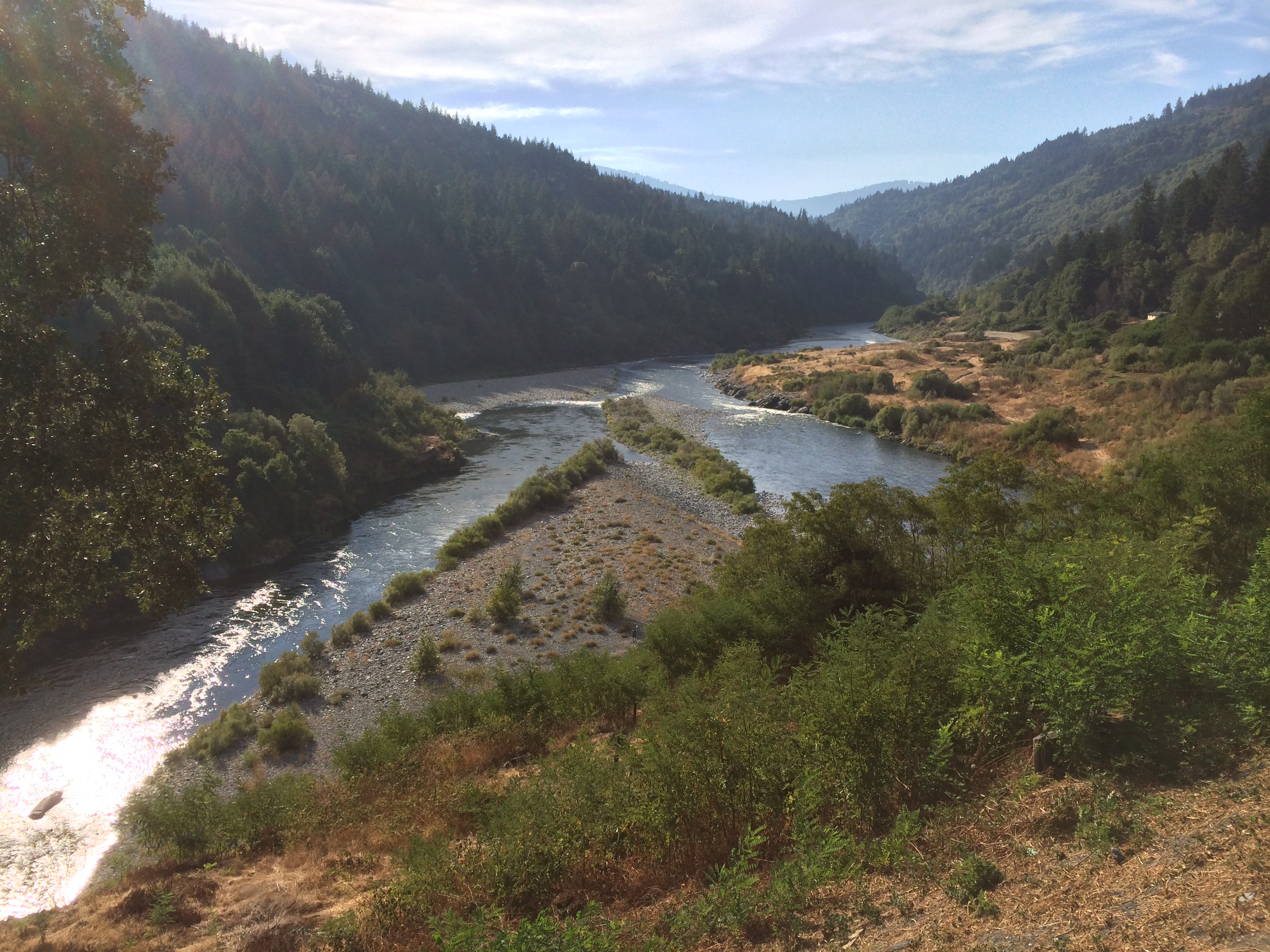
Trinity, Klamath rivers
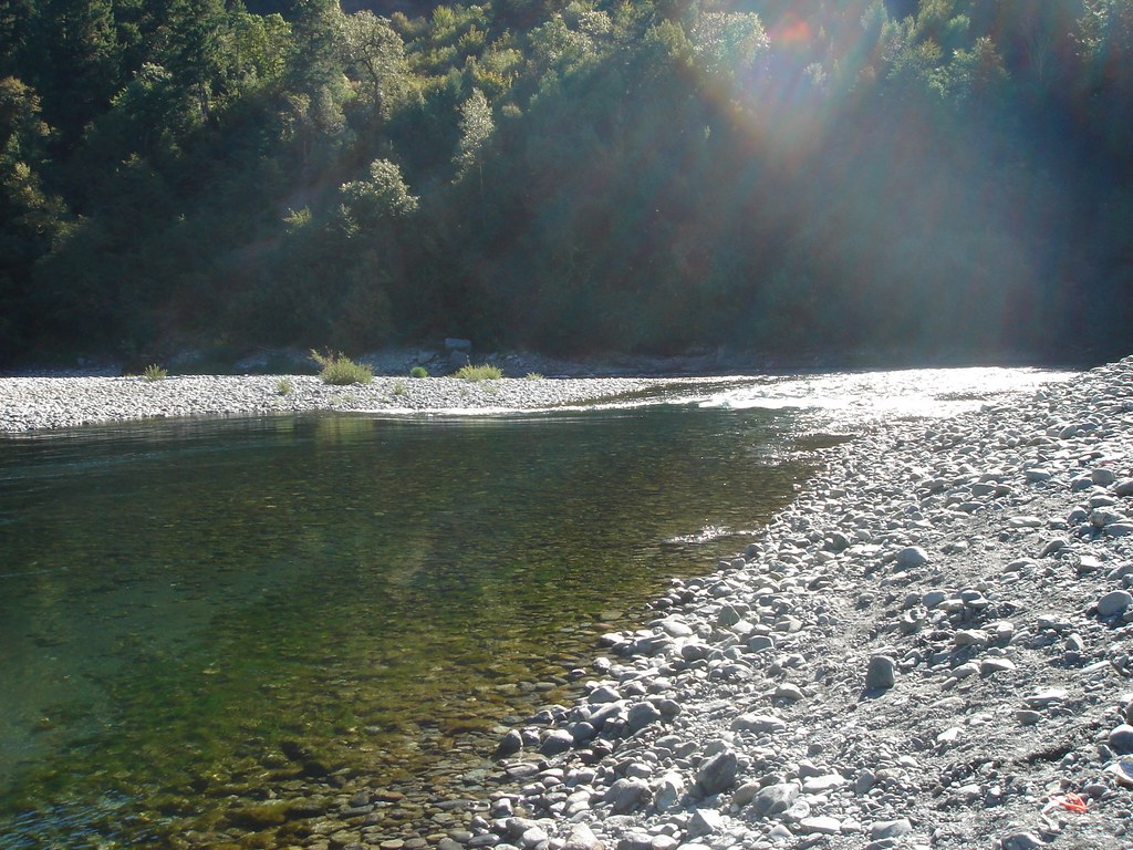
Looking up stream
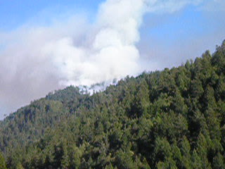
Hopkins Creek Fire 100709
Klamath-BluffCk092509b
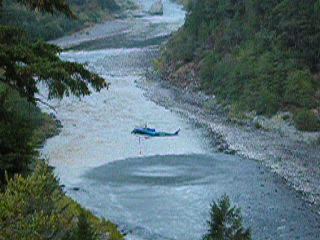
Tanker dips in Klamath 100909

Back bouncing roe in the Trinity
Topographic Map of Mitchell Road, Mitchell Rd, California, USA
Find elevation by address:

Places near Mitchell Road, Mitchell Rd, California, USA:
California 169 & Martin's Ferry Road
Martin's Ferry Road
Seeley MC Intosh Rd, Willow Creek, CA, USA
Notchko
Redwood National And State Parks
U.s. 101
124150 Us-101
US-, Orick, CA, USA
Orick
Berry Summit
102 Eris Ln
Stone Lagoon
Snow Camp Rd, Korbel, CA, USA
Fieldbrook
Gross Road
Gross Rd, McKinleyville, CA, USA
4240 Fieldbrook Rd
30 Hill Rd, Klamath, CA, USA
312 Hughs Way
Crannell Rd, Trinidad, CA, USA
Recent Searches:
- Elevation map of Greenland, Greenland
- Elevation of Sullivan Hill, New York, New York, 10002, USA
- Elevation of Morehead Road, Withrow Downs, Charlotte, Mecklenburg County, North Carolina, 28262, USA
- Elevation of 2800, Morehead Road, Withrow Downs, Charlotte, Mecklenburg County, North Carolina, 28262, USA
- Elevation of Yangbi Yi Autonomous County, Yunnan, China
- Elevation of Pingpo, Yangbi Yi Autonomous County, Yunnan, China
- Elevation of Mount Malong, Pingpo, Yangbi Yi Autonomous County, Yunnan, China
- Elevation map of Yongping County, Yunnan, China
- Elevation of North 8th Street, Palatka, Putnam County, Florida, 32177, USA
- Elevation of 107, Big Apple Road, East Palatka, Putnam County, Florida, 32131, USA
- Elevation of Jiezi, Chongzhou City, Sichuan, China
- Elevation of Chongzhou City, Sichuan, China
- Elevation of Huaiyuan, Chongzhou City, Sichuan, China
- Elevation of Qingxia, Chengdu, Sichuan, China
- Elevation of Corso Fratelli Cairoli, 35, Macerata MC, Italy
- Elevation of Tallevast Rd, Sarasota, FL, USA
- Elevation of 4th St E, Sonoma, CA, USA
- Elevation of Black Hollow Rd, Pennsdale, PA, USA
- Elevation of Oakland Ave, Williamsport, PA, USA
- Elevation of Pedrógão Grande, Portugal