Elevation of Snow Camp Rd, Korbel, CA, USA
Location: United States > California > Humboldt County > Korbel >
Longitude: -123.86282
Latitude: 40.865553
Elevation: 610m / 2001feet
Barometric Pressure: 94KPa
Elevation Map:
Satellite Map:
Related Photos:
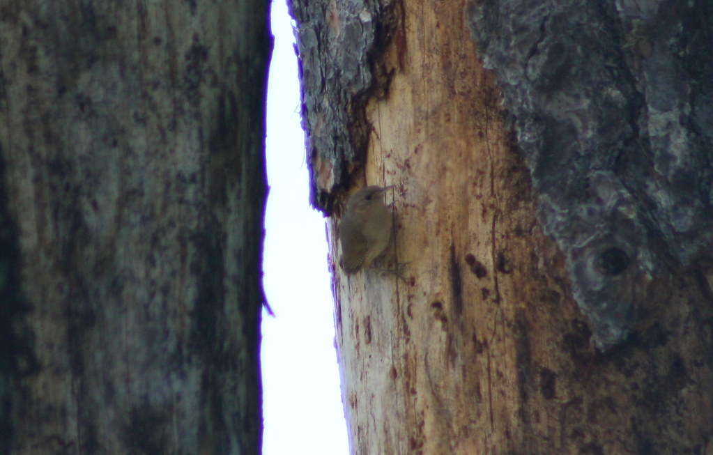
House Wren (Troglodytes aedon)
IMG_4770_Above Arcata on Hwy 299
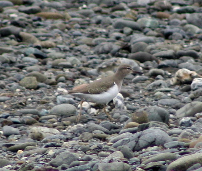
Spotted Sandpiper
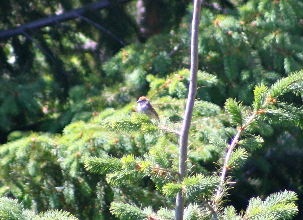
Chipping Sparrow (Spizella passerina)
071009-002F

7D2_1244 crop RNSA x RBSA-eBird.org bottom_1167x781-1
Beautiful Views up here, but the wind is bitingly cold.

7D2_1249 crop RNSA x RBSA-eBird.org bottom_1427x953-1

Log Truck, Blue Lake, Ca

7D2_1243 crop RNSA x RBSA-eBird.org bottom_1419x946-1

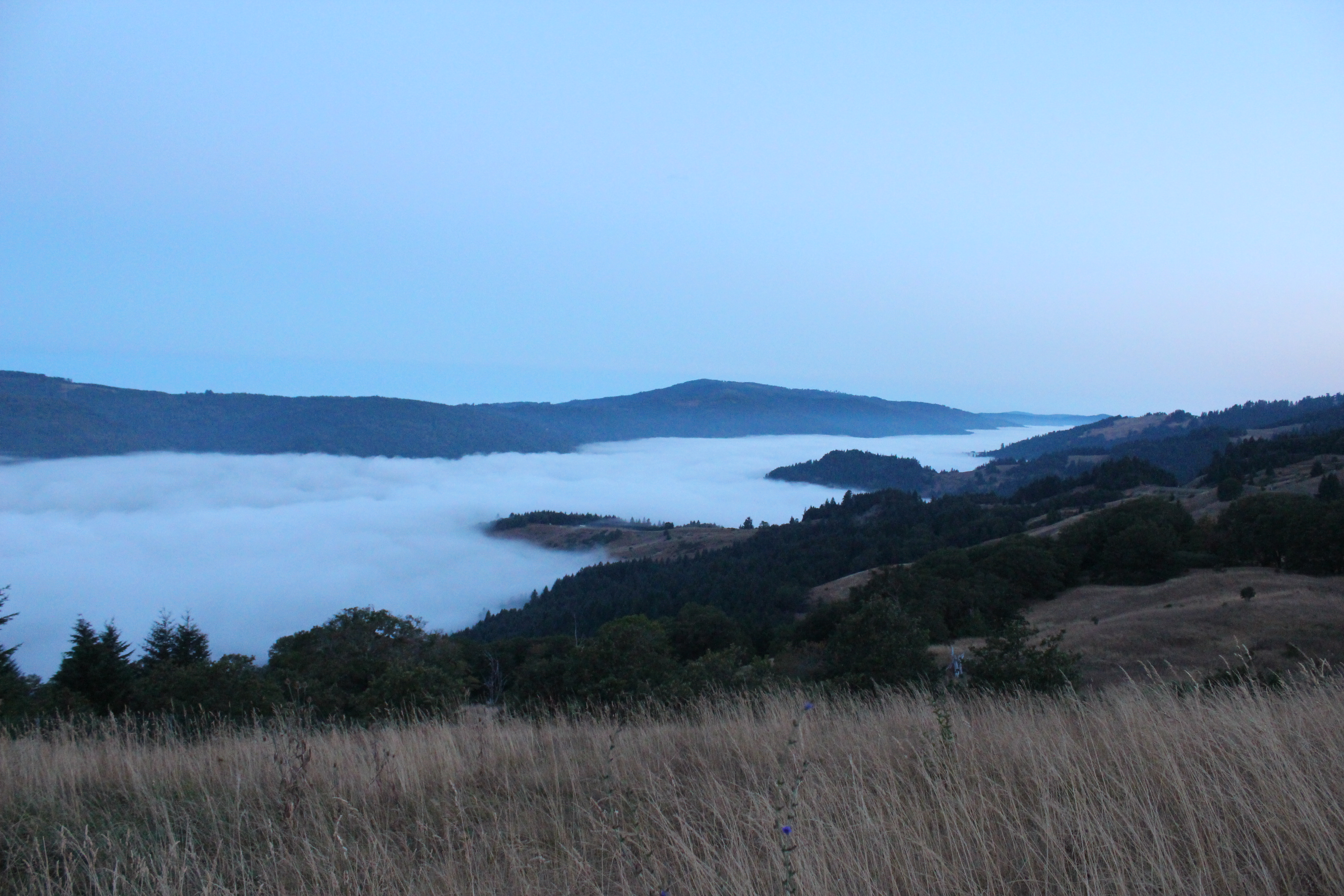
Highway 299 Vista Point on Berry Summit, Ca

Highway 299 Vista Pt.

7D2_1193 crop RNSA x RBSA-eBird.org bottom_930x622-1

Abandoned Bridge, Highway 299

Highway 299 Vista Pt.

Abandoned Bridge, Highway 299
071009-006F
View From Bridge 3

Abandoned Bridge, Highway 299

7D2_1250 crop rnsa x rbsa-eBird.org bottom_1908x1261-1

7D2_1175 crop RNSA x RNSA-eBird.org bottom_994x1489-1

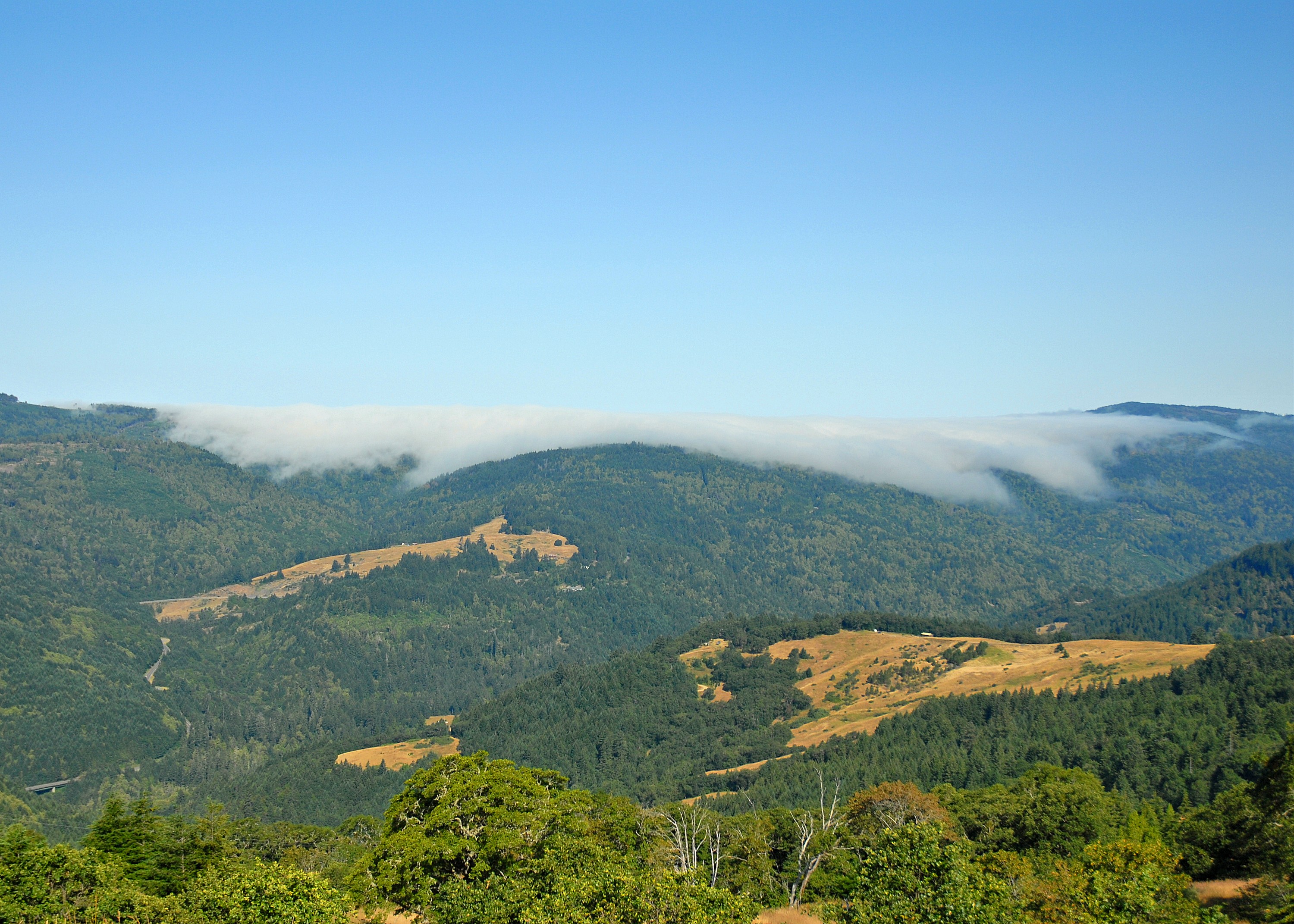
A Humboldt County State of Mind

From Horizon To Horizon
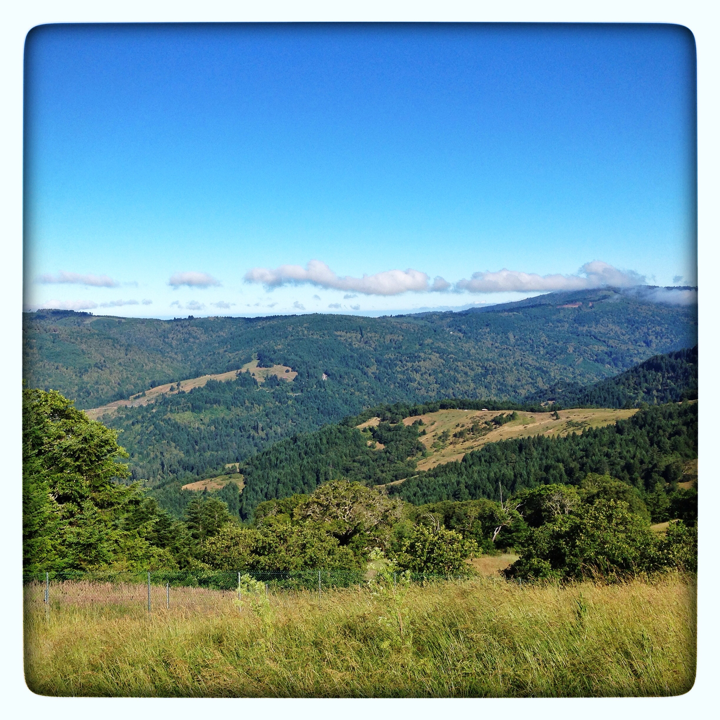
Literally in the middle of nowhere
Unruffled God's Country
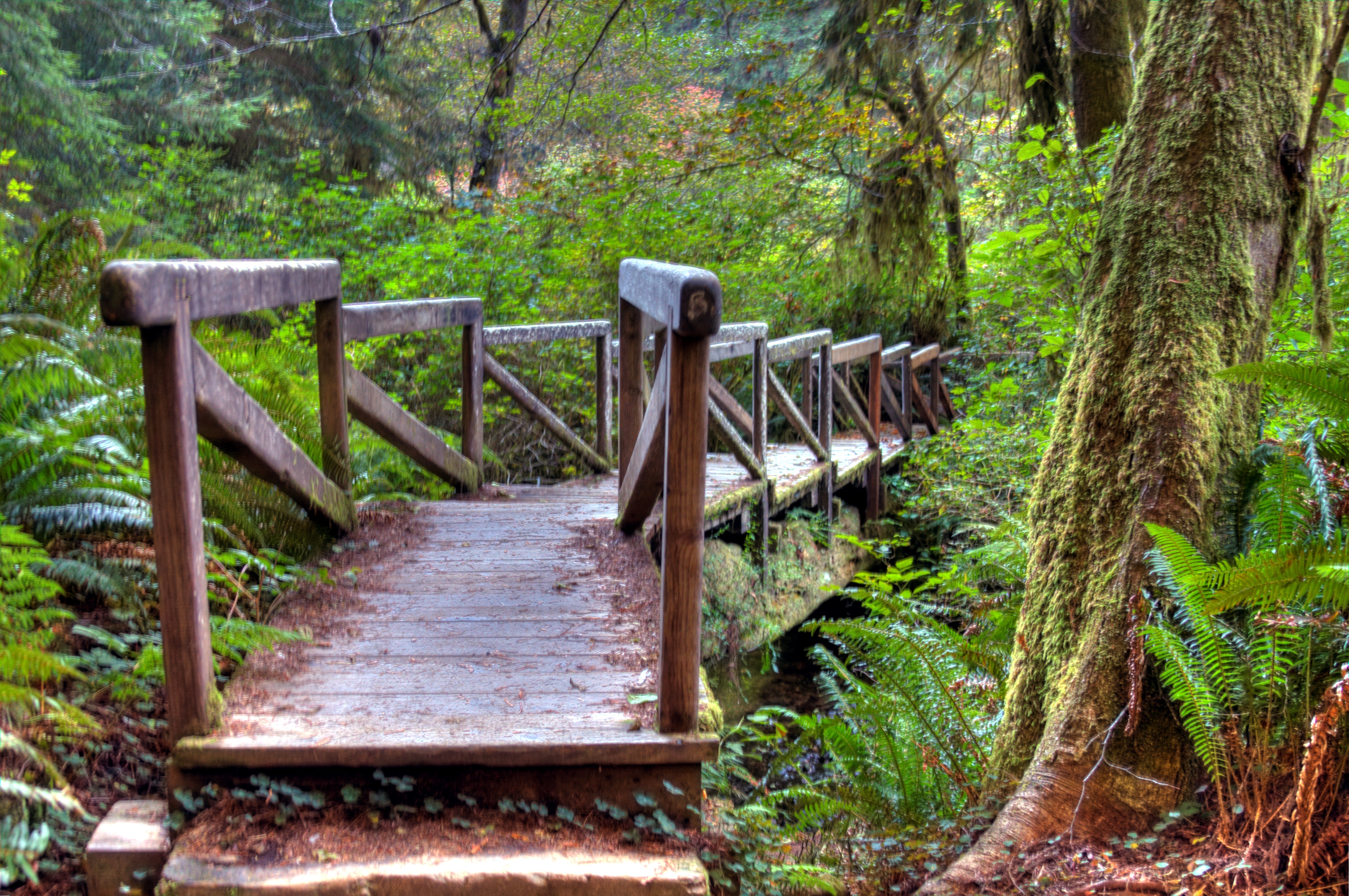
Redwood National Forest Bridge Stairs

Timber Country On 299
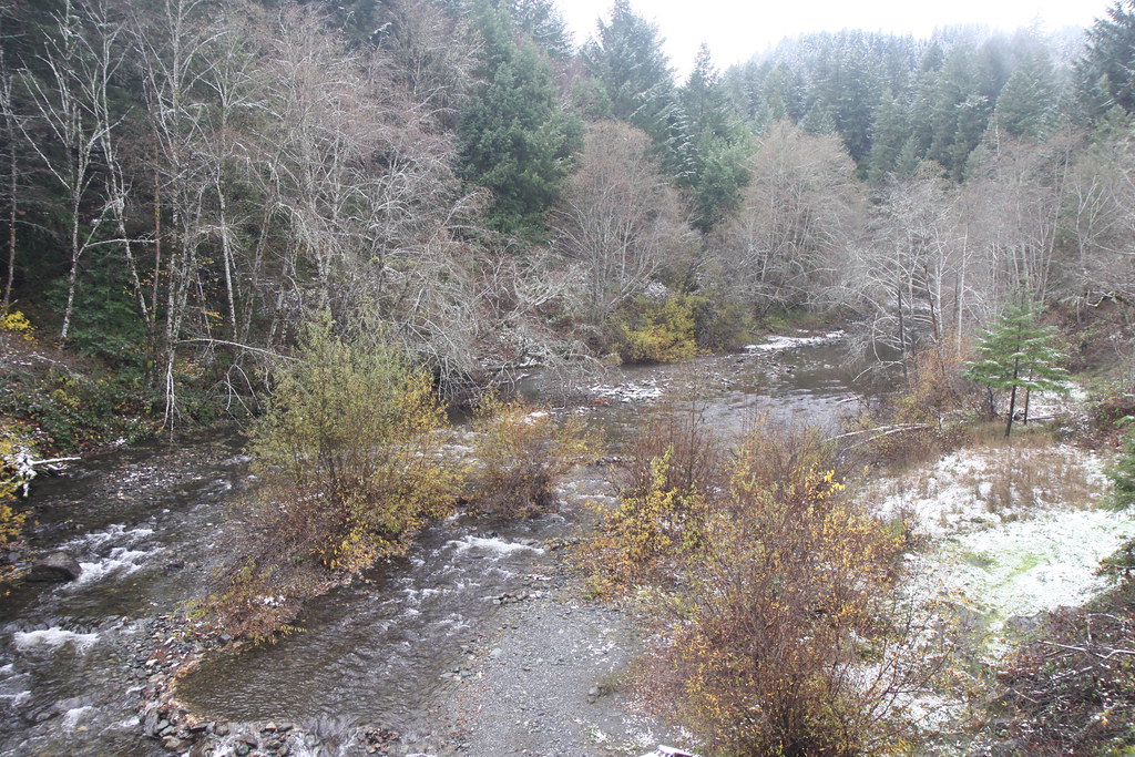
Oak trees and snowfall at Redwood Valley

Trinity Sunset
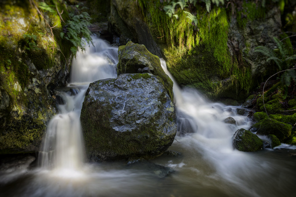
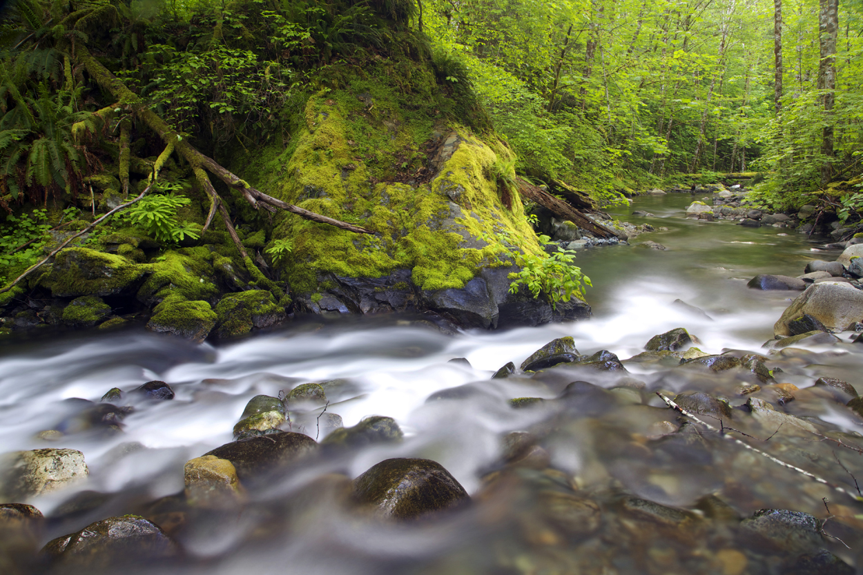
Powers Creek Falls
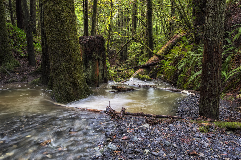
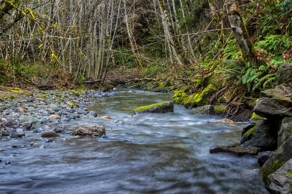
Powers Creek
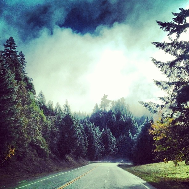
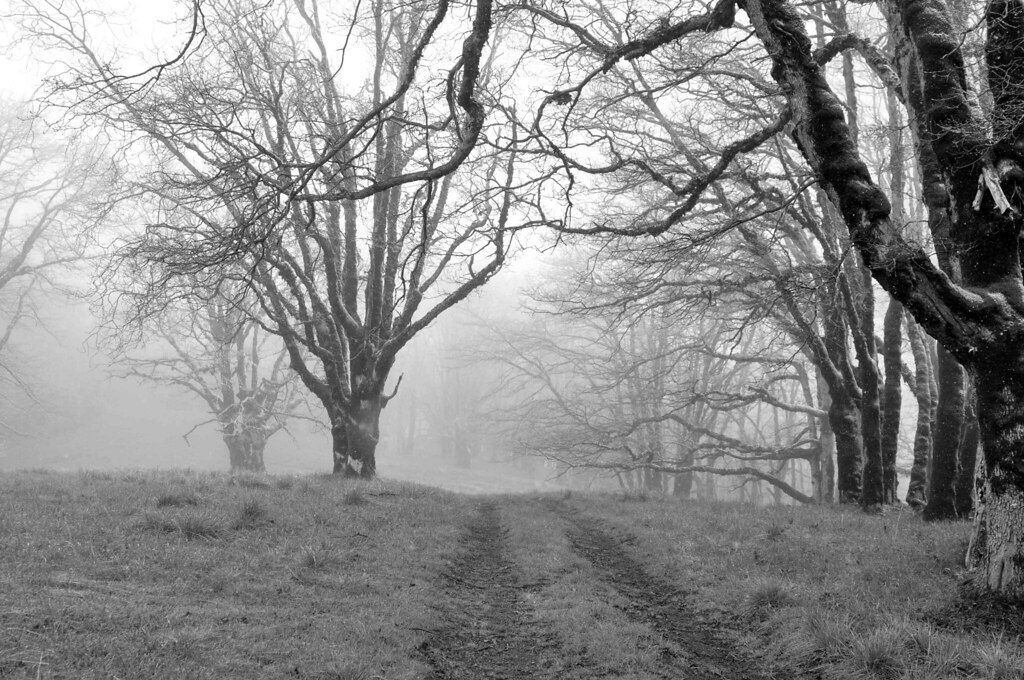
Misty Highway 8 Nov 2013
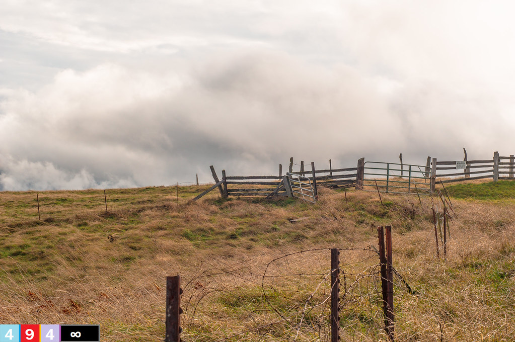
Summit At A Crancher Ranch

Powers Creek Falls
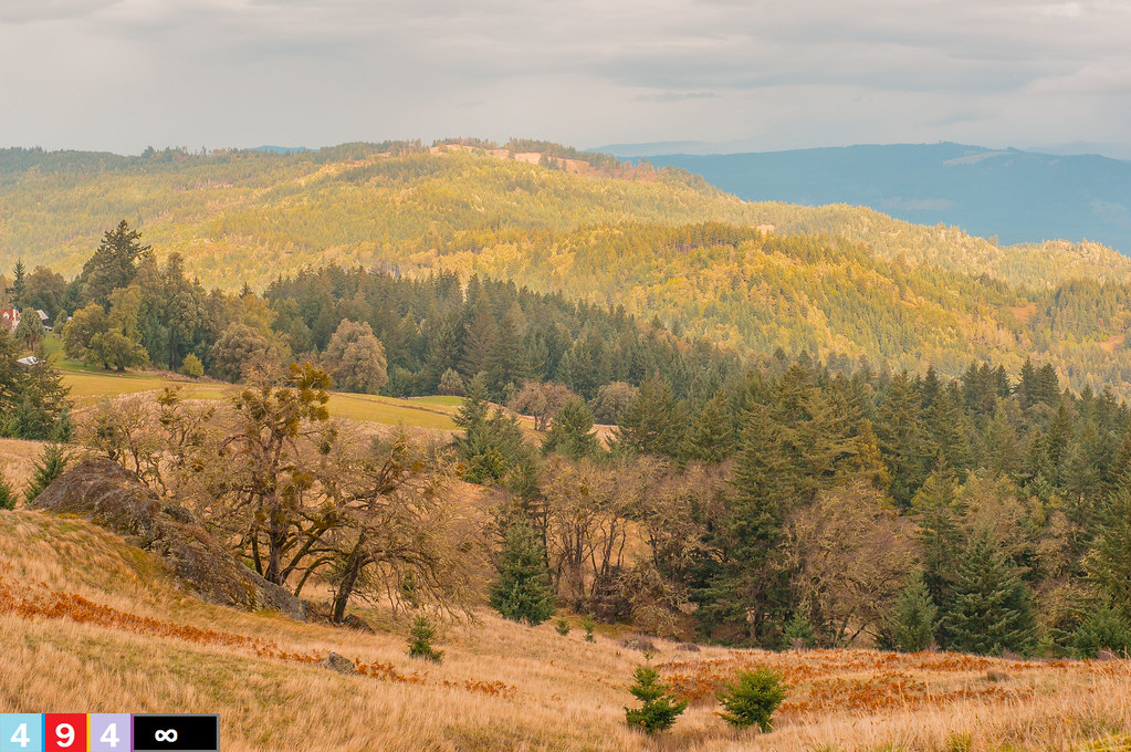
Spring, Humboldt County, CA, May 2014
Topographic Map of Snow Camp Rd, Korbel, CA, USA
Find elevation by address:

Places near Snow Camp Rd, Korbel, CA, USA:
Korbel
Berry Summit
Blue Lake
777 Casino Way
1255 Abbey Rd
3100 Fickle Hill Rd
4982 Jacoby Creek Rd
Jacoby Creek
2524 Idyle Bear Ln
Fickle Hill
Butte
Fernwood Ln, Kneeland, CA, USA
1524 Idyle Bear Ln
67 His Ln
Freshwater
995 E California Ave
3342 N Bank Rd
Jacoby Creek Rd, Bayside, CA, USA
Bayside
1532 Panorama Dr
Recent Searches:
- Elevation of Corso Fratelli Cairoli, 35, Macerata MC, Italy
- Elevation of Tallevast Rd, Sarasota, FL, USA
- Elevation of 4th St E, Sonoma, CA, USA
- Elevation of Black Hollow Rd, Pennsdale, PA, USA
- Elevation of Oakland Ave, Williamsport, PA, USA
- Elevation of Pedrógão Grande, Portugal
- Elevation of Klee Dr, Martinsburg, WV, USA
- Elevation of Via Roma, Pieranica CR, Italy
- Elevation of Tavkvetili Mountain, Georgia
- Elevation of Hartfords Bluff Cir, Mt Pleasant, SC, USA