Elevation of Missabotti NSW, Australia
Location: Australia > New South Wales > Nambucca Shire Council >
Longitude: 152.8219141
Latitude: -30.5821158
Elevation: 53m / 174feet
Barometric Pressure: 0KPa
Related Photos:

The view...

The view over the coffee plants

b090 View from front verandah
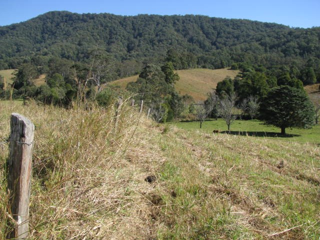
View from the top paddock to Bolla Nolla Nature Reserve

Tent city

The dam

Another beautiful day at Prana Ridge

WRC Australia 2011 - SS15 Welshes 2 - Sat 10th Sept

fire pit

WRC Australia 2011 - SS12 Grace 1 - Sat 10th Sept

WRC Australia 2011 - SS15 Welshes 2 - Sat 10th Sept

WRC Australia 2011 - SS15 Welshes 2 - Sat 10th Sept

WRC Australia 2011 - SS15 Welshes 2 - Sat 10th Sept
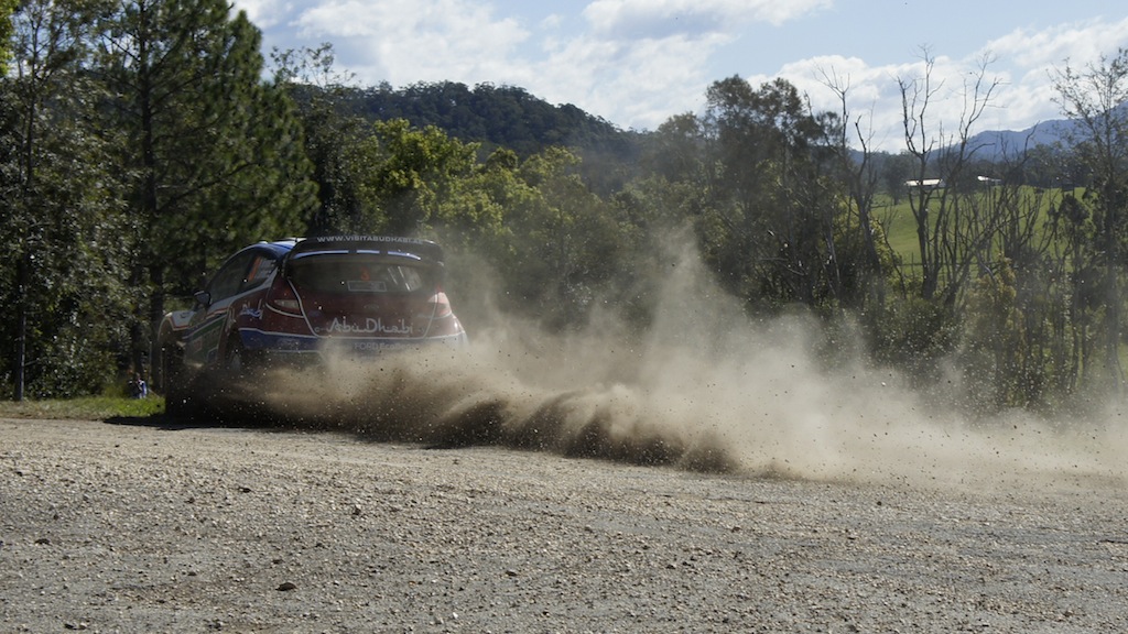
WRC Australia 2011 - SS15 Welshes 2 - Sat 10th Sept

Big Waves near the Jetty Coffs Harbour

Dirt road to our place
Topographic Map of Missabotti NSW, Australia
Find elevation by address:

Places in Missabotti NSW, Australia:
Places near Missabotti NSW, Australia:
64 Helliwells Rd
697 Bellingen Rd
Malibells Country Cottages
Bowraville
1399 Bowraville Rd
1399 Bowraville Rd
1399 Bowraville Rd
Spicketts Creek
1841 Valla Rd
Kalang
Kalang Road
Rosslyn
Nambucca Shire Council
302 Mchughs Creek Rd
Bellingen
4 Jellico St
Waterfall Way
Thora
Macksville
Chrysalis School
Recent Searches:
- Elevation of 116, Beartown Road, Underhill, Chittenden County, Vermont, 05489, USA
- Elevation of Window Rock, Colfax County, New Mexico, 87714, USA
- Elevation of 4807, Rosecroft Street, Kempsville Gardens, Virginia Beach, Virginia, 23464, USA
- Elevation map of Matawinie, Quebec, Canada
- Elevation of Sainte-Émélie-de-l'Énergie, Matawinie, Quebec, Canada
- Elevation of Rue du Pont, Sainte-Émélie-de-l'Énergie, Matawinie, Quebec, J0K2K0, Canada
- Elevation of 8, Rue de Bécancour, Blainville, Thérèse-De Blainville, Quebec, J7B1N2, Canada
- Elevation of Wilmot Court North, 163, University Avenue West, Northdale, Waterloo, Region of Waterloo, Ontario, N2L6B6, Canada
- Elevation map of Panamá Province, Panama
- Elevation of Balboa, Panamá Province, Panama
- Elevation of San Miguel, Balboa, Panamá Province, Panama
- Elevation of Isla Gibraleón, San Miguel, Balboa, Panamá Province, Panama
- Elevation of 4655, Krischke Road, Schulenburg, Fayette County, Texas, 78956, USA
- Elevation of Carnegie Avenue, Downtown Cleveland, Cleveland, Cuyahoga County, Ohio, 44115, USA
- Elevation of Walhonding, Coshocton County, Ohio, USA
- Elevation of Clifton Down, Clifton, Bristol, City of Bristol, England, BS8 3HU, United Kingdom
- Elevation map of Auvergne-Rhône-Alpes, France
- Elevation map of Upper Savoy, Auvergne-Rhône-Alpes, France
- Elevation of Chamonix-Mont-Blanc, Upper Savoy, Auvergne-Rhône-Alpes, France
- Elevation of 908, Northwood Drive, Bridge Field, Chesapeake, Virginia, 23322, USA