Elevation of Mexican Water Trading Post, US-, Teec Nos Pos, AZ, USA
Location: United States > Arizona > Apache County > Teec Nos Pos >
Longitude: -109.60278
Latitude: 36.9237578
Elevation: 1504m / 4934feet
Barometric Pressure: 85KPa
Elevation Map:
Satellite Map:
Related Photos:
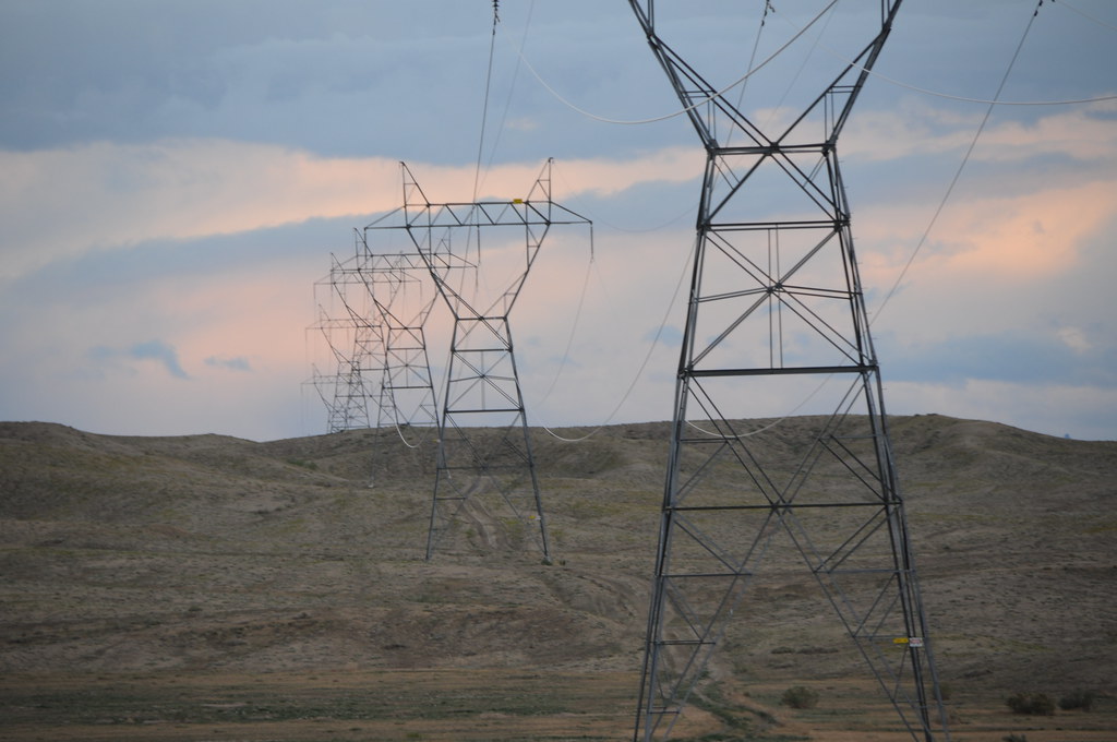
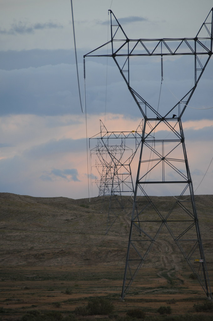
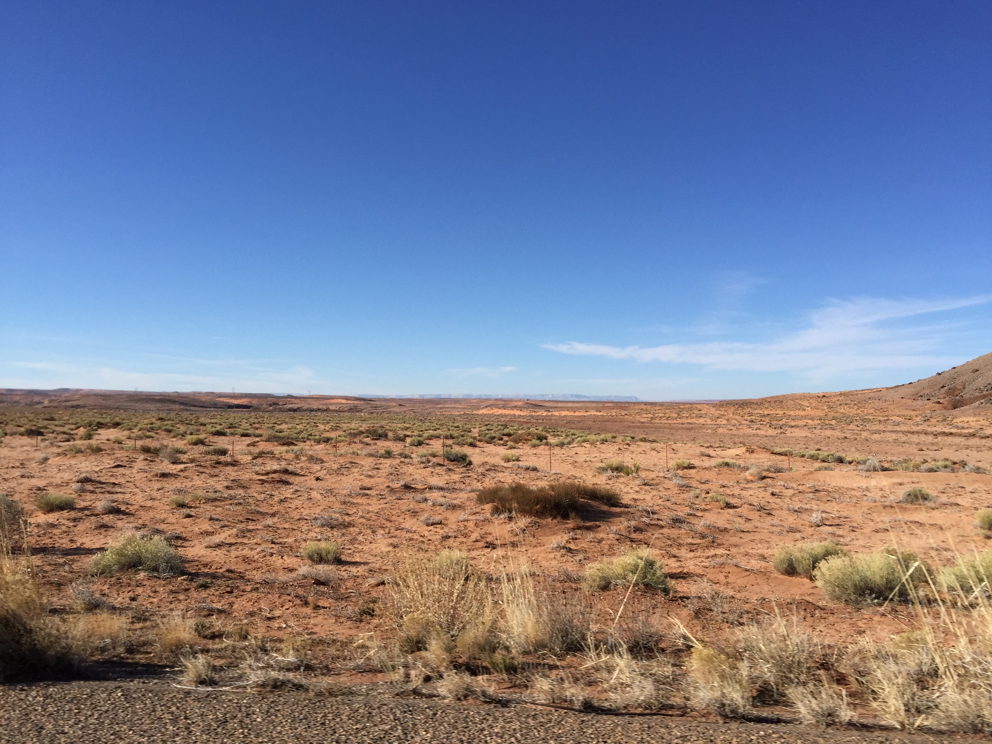
Power lines over desert
marching men
Northern Arizona
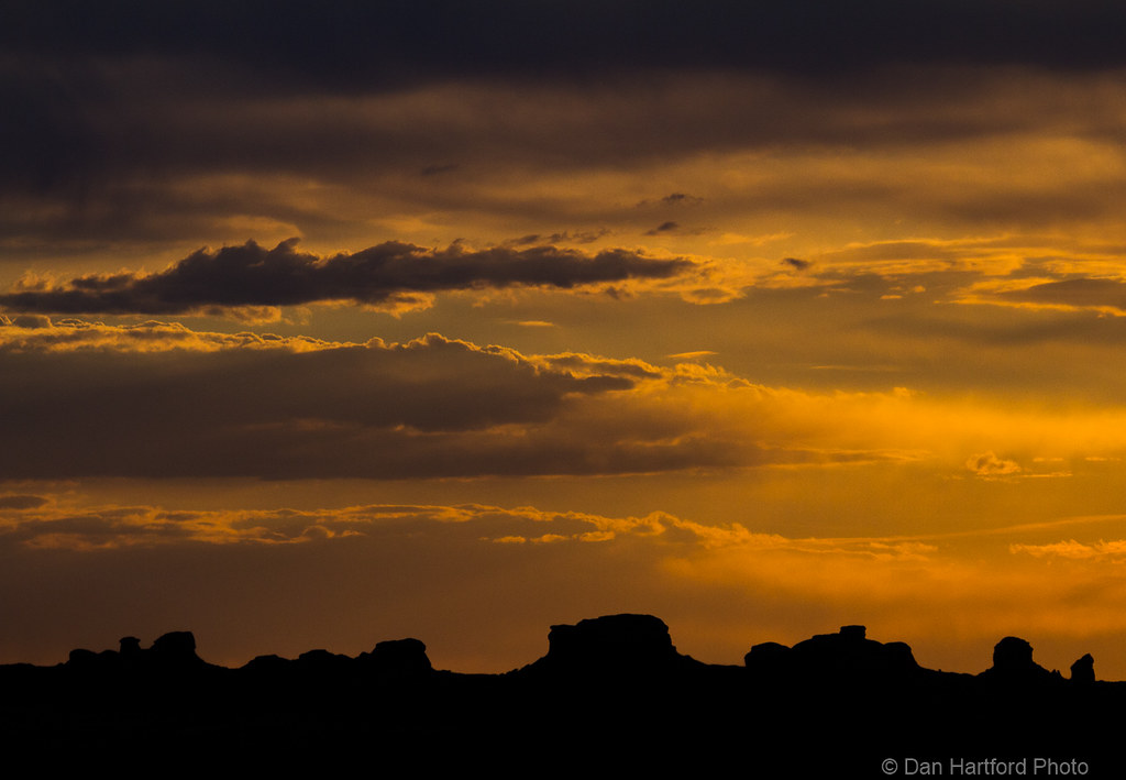
Desert Sunset Iconography

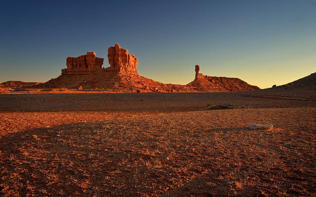
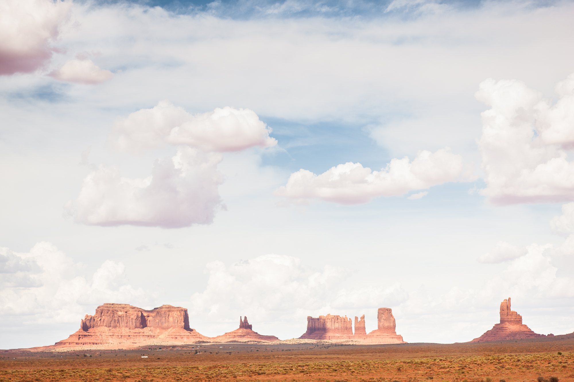
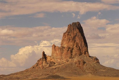
584 Monument Valley D
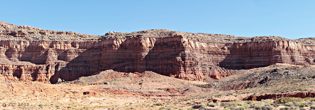
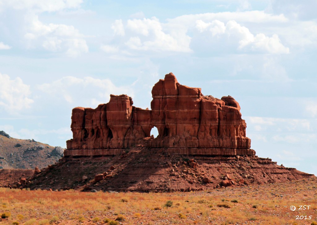
Cliff Colors & Patterns
The ochre landscape reflected into the undersides of the clouds, giving them fluffy pink bellies. (at Monument Valley)
RCWest 892
Butt Silouette Sunset

IMG_5785.jpg
DSC_0237 - rock
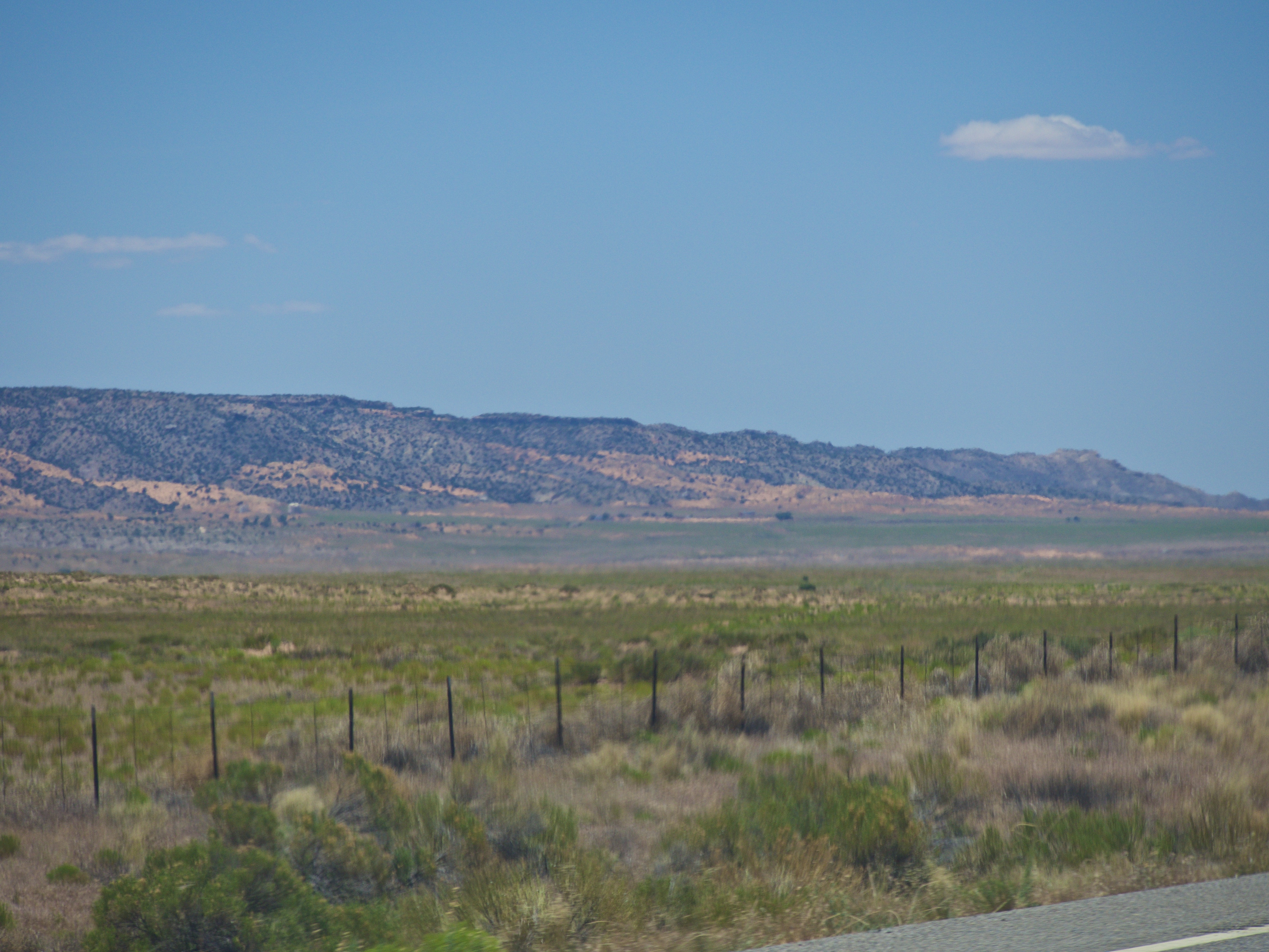
Driving back to Phoenix
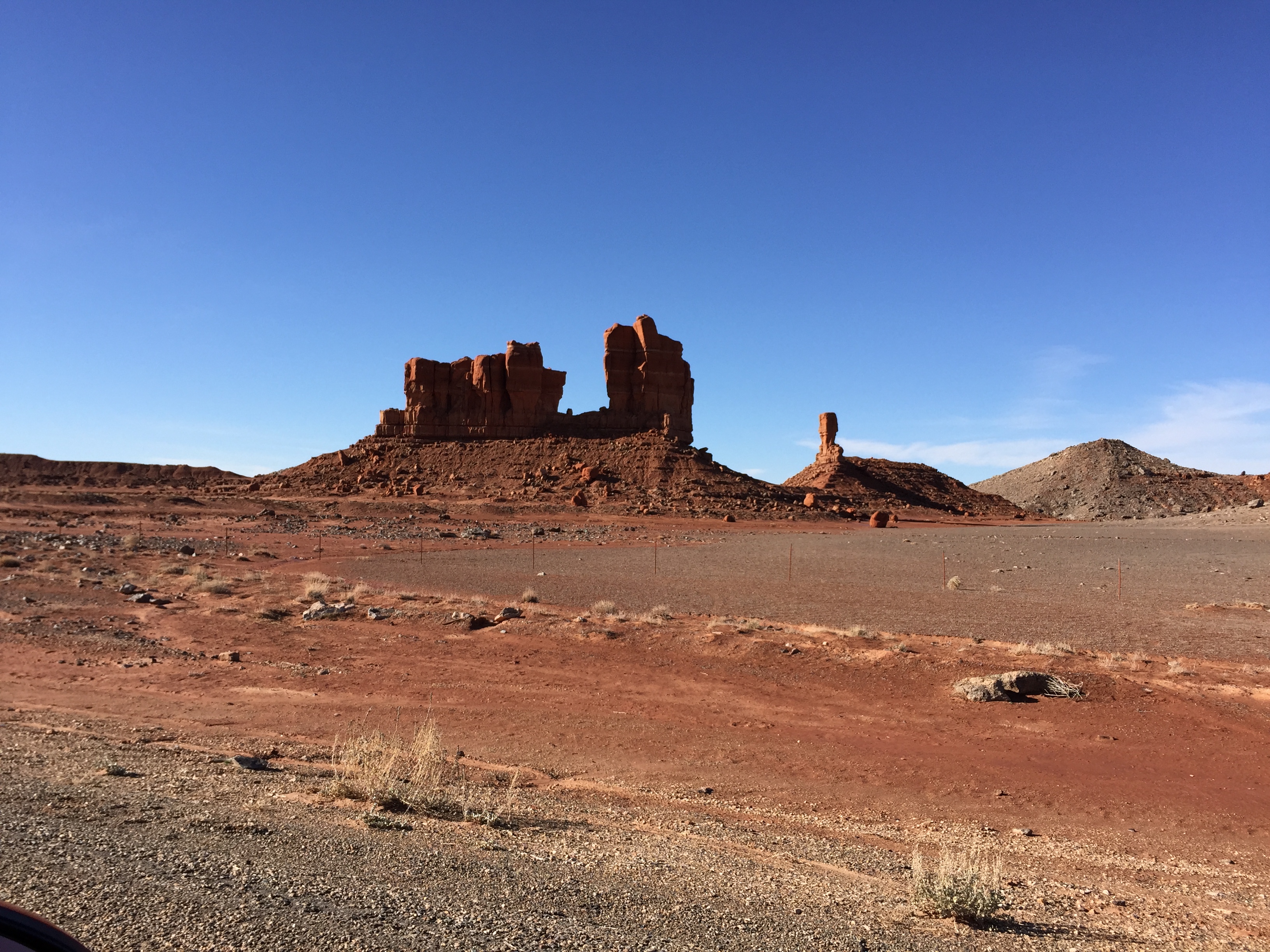
A Gap in the Butte
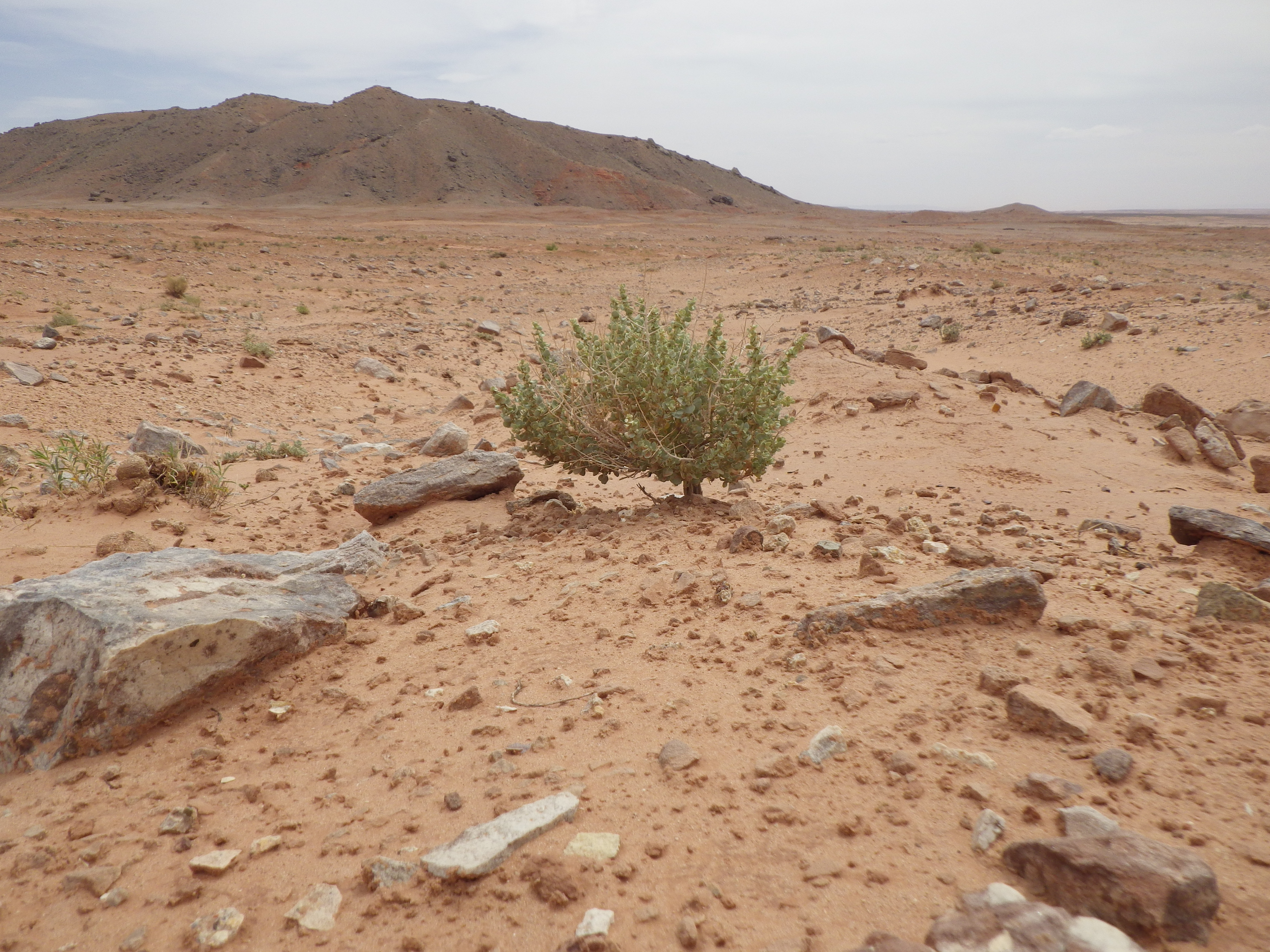
Atriplex confertifolia
Driving back to Phoenix

On the road
Naabeehó Bináhásdzo 20160705

On the road Again
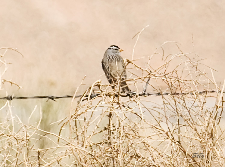
White-crowned Sparrow UT near AZ_3571
Topographic Map of Mexican Water Trading Post, US-, Teec Nos Pos, AZ, USA
Find elevation by address:

Places near Mexican Water Trading Post, US-, Teec Nos Pos, AZ, USA:
Mexican Water
Rock Point
E Main St, Bluff, UT, USA
Bluff
US-, Teec Nos Pos, AZ, USA
Teec Nos Pos
Butler Washington Road
White Mesa
Four Corners Monument
New Mexico 597
White Mesa Mill
Blue Mountain Rv & Trading
Road G, Cortez, CO, USA
490 County Rd G
355 E 850 S
Blanding
Road G, Cortez, CO, USA
6512 County Rd G
County Road 10, Pleasant View, CO, USA
Devils Canyon Campground
Recent Searches:
- Elevation of Corso Fratelli Cairoli, 35, Macerata MC, Italy
- Elevation of Tallevast Rd, Sarasota, FL, USA
- Elevation of 4th St E, Sonoma, CA, USA
- Elevation of Black Hollow Rd, Pennsdale, PA, USA
- Elevation of Oakland Ave, Williamsport, PA, USA
- Elevation of Pedrógão Grande, Portugal
- Elevation of Klee Dr, Martinsburg, WV, USA
- Elevation of Via Roma, Pieranica CR, Italy
- Elevation of Tavkvetili Mountain, Georgia
- Elevation of Hartfords Bluff Cir, Mt Pleasant, SC, USA