Elevation of Devils Canyon Campground, US-, Monticello, UT, USA
Location: United States > Utah > San Juan County > Blanding >
Longitude: -109.41137
Latitude: 37.7355365
Elevation: 2166m / 7106feet
Barometric Pressure: 78KPa
Elevation Map:
Satellite Map:
Related Photos:

Stop-Motion Tyrannosaurus Rex, The Dinosaur Museum 8/21/2015

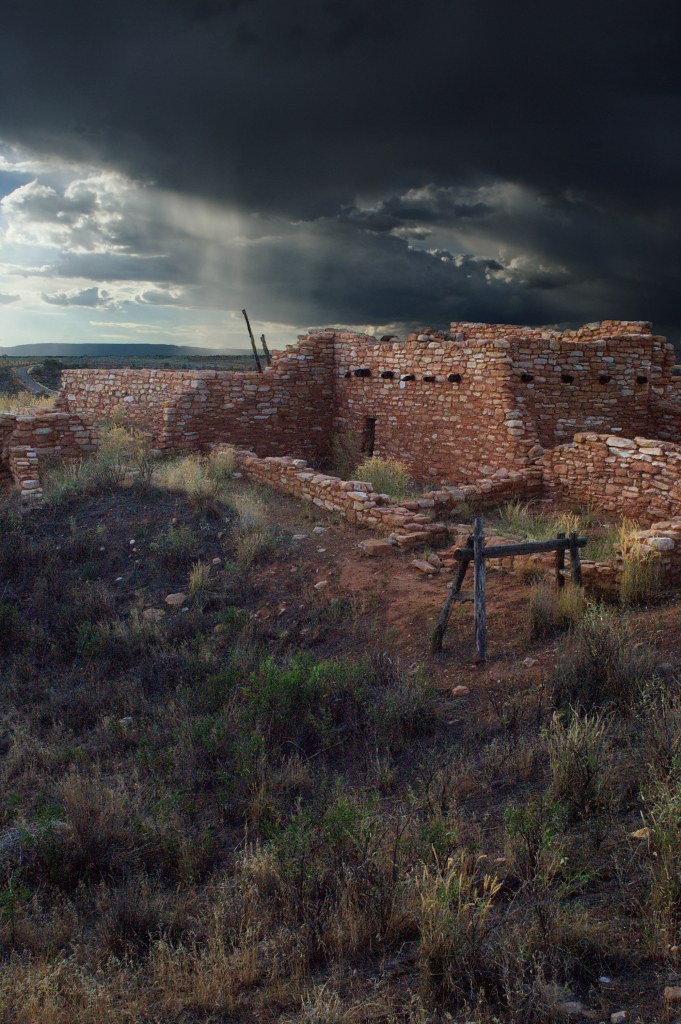
Dry Wash Cave Ruins
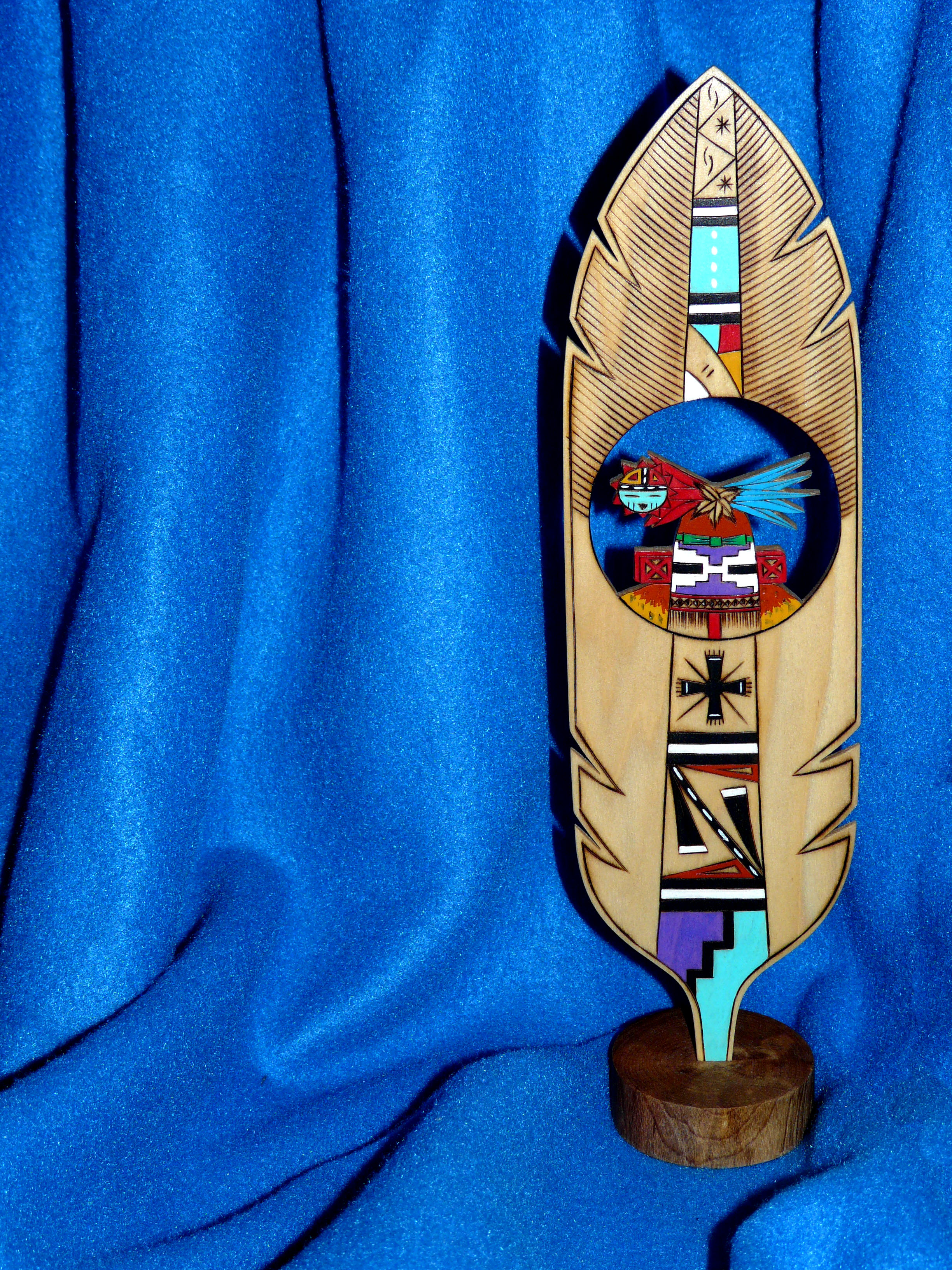
Hopi Prayer Feather

Apparently it was a record-setting gorgeous fall day in #Colorado. I was stuck inside a conference with a ridiculous view of the Boulder foothills and Longs Peak...saw the sun for less time than it took me to post this picture of the it. This #sunset brou
Edge of the Cedars
RAV4 parking, big view version

Last Light at the Edge

Phantom Photographer Phinds Phavorite Phood

Edge of the Cedars Ruin

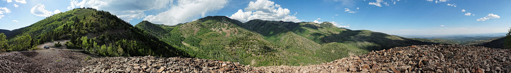
South Slope

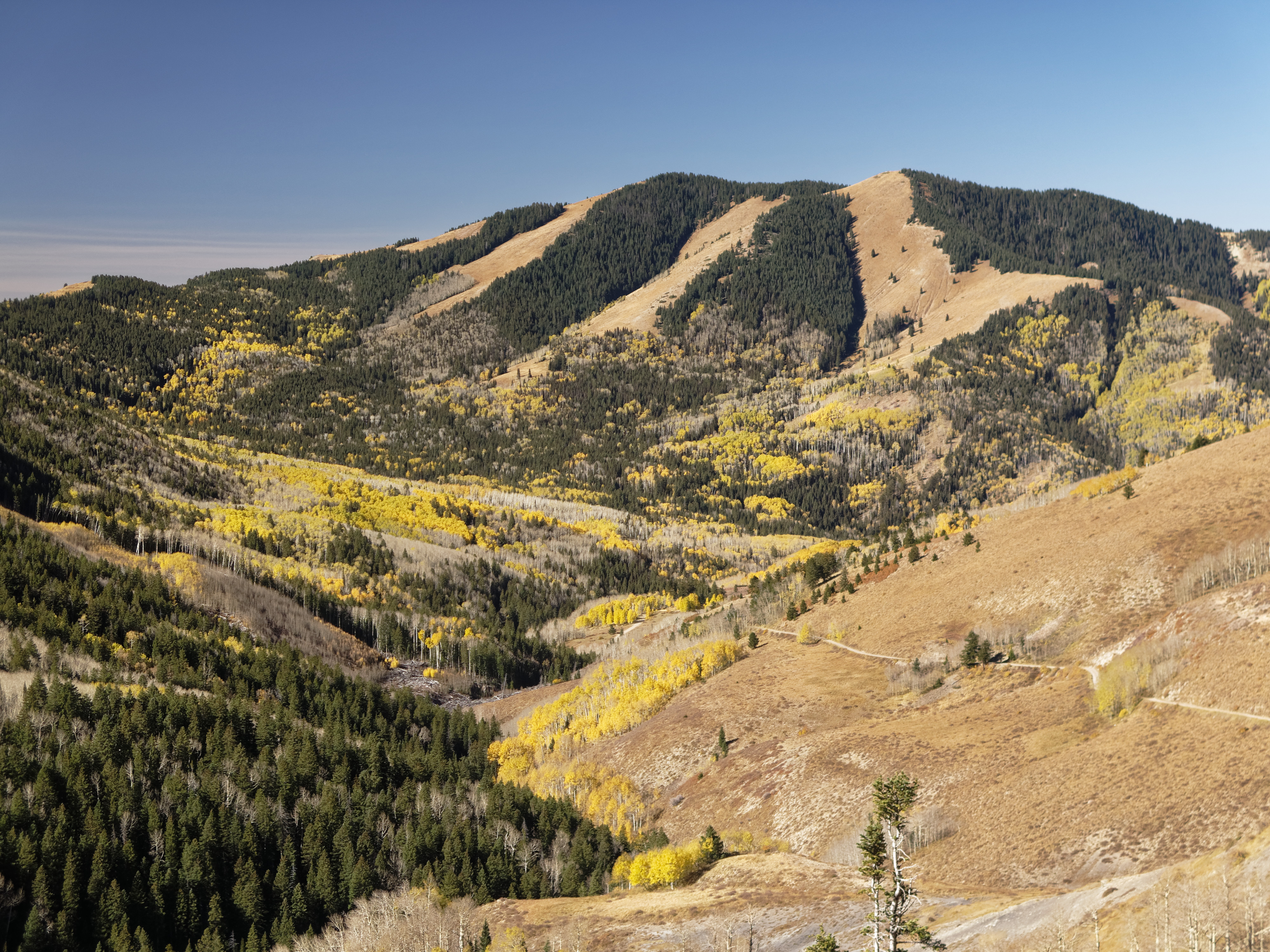
View down to Blanding from the Shay Ridge Quad Trail, Manti-La Sal National Forest, at the edge of Bears Ears National Monument.

Mount Linnaeus

Blanding - Winter Clouds

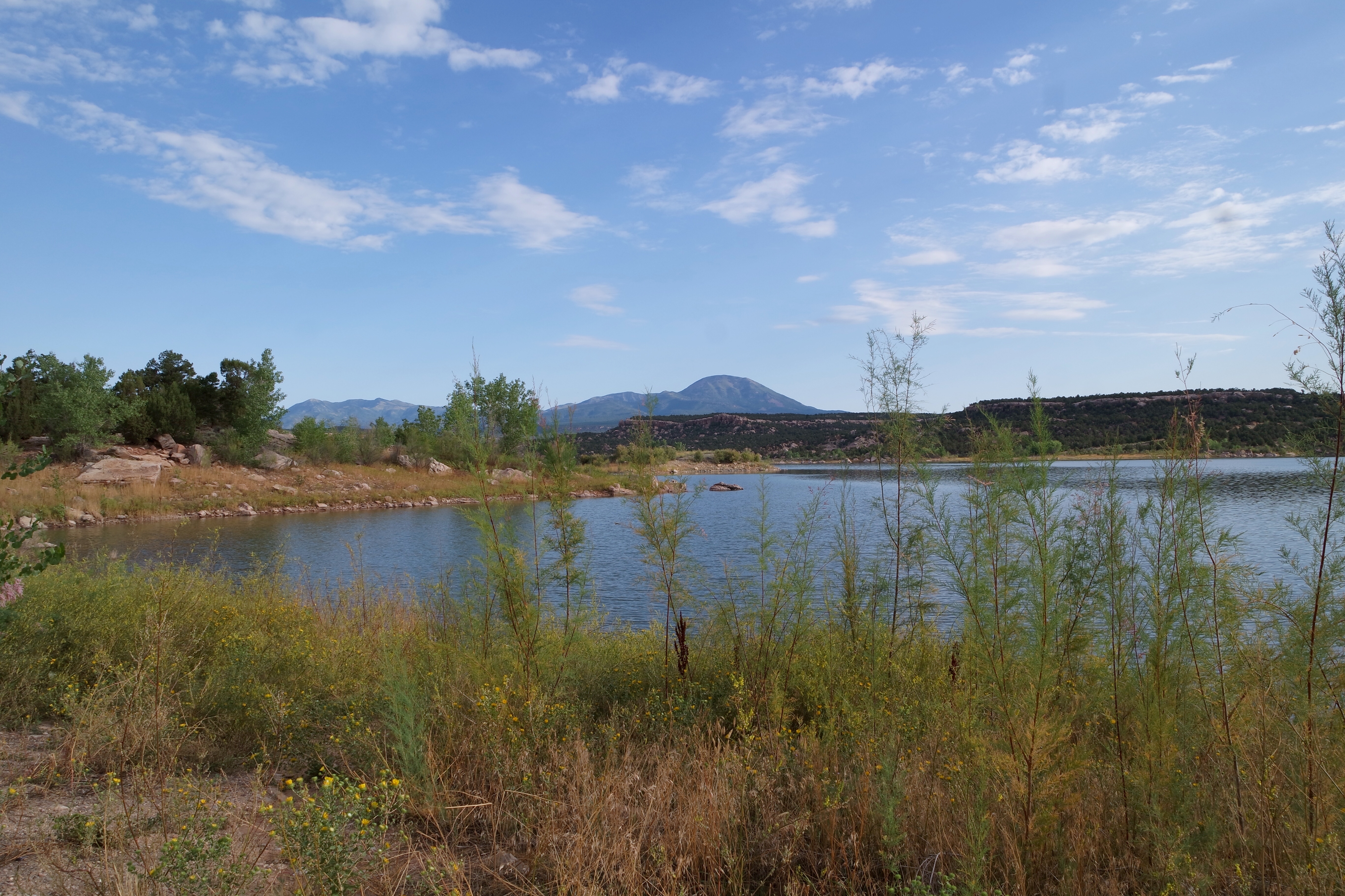
Blanding - Water Reservoir

Abajo Loop State Scenic Backway
Abajo Loop State Scenic Backway

Abajo Loop State Scenic Backway

Abajo Loop State Scenic Backway

If you hold an object close enough, it begins to lose its sense of self.

Abajo Loop State Scenic Backway

Twin Peaks

Abajo Loop State Scenic Backway

Springtime Storms and Beautiful Skies

Stormy Skies

Three Story Barn

painted ruin
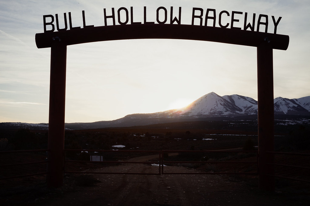
Bull Hollow Raceway

Thru the Window
USA - Utah - Route 191 to Goosenecks SP
Topographic Map of Devils Canyon Campground, US-, Monticello, UT, USA
Find elevation by address:

Places near Devils Canyon Campground, US-, Monticello, UT, USA:
75 W Dude Ranch Rd
Blanding
355 E 850 S
Nizhoni Campground
Monticello
Blue Mountain Rv & Trading
17 N E, Monticello, UT, USA
White Mesa Mill
White Mesa
Butler Washington Road
Dove Creek, CO, USA
County Rd 2, Dove Creek, CO, USA
3728 Rd P
Bluff
E Main St, Bluff, UT, USA
Egnar
Dove Creek
County Road 10, Pleasant View, CO, USA
Road G, Cortez, CO, USA
490 County Rd G
Recent Searches:
- Elevation of Corso Fratelli Cairoli, 35, Macerata MC, Italy
- Elevation of Tallevast Rd, Sarasota, FL, USA
- Elevation of 4th St E, Sonoma, CA, USA
- Elevation of Black Hollow Rd, Pennsdale, PA, USA
- Elevation of Oakland Ave, Williamsport, PA, USA
- Elevation of Pedrógão Grande, Portugal
- Elevation of Klee Dr, Martinsburg, WV, USA
- Elevation of Via Roma, Pieranica CR, Italy
- Elevation of Tavkvetili Mountain, Georgia
- Elevation of Hartfords Bluff Cir, Mt Pleasant, SC, USA