Elevation of Blanding, UT, USA
Location: United States > Utah > San Juan County >
Longitude: -109.47817
Latitude: 37.6241646
Elevation: 1860m / 6102feet
Barometric Pressure: 81KPa
Elevation Map:
Satellite Map:
Related Photos:

Out In The Middle of Nowhere
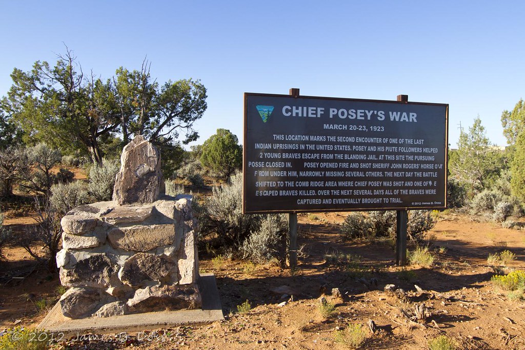
Chief Posey's War
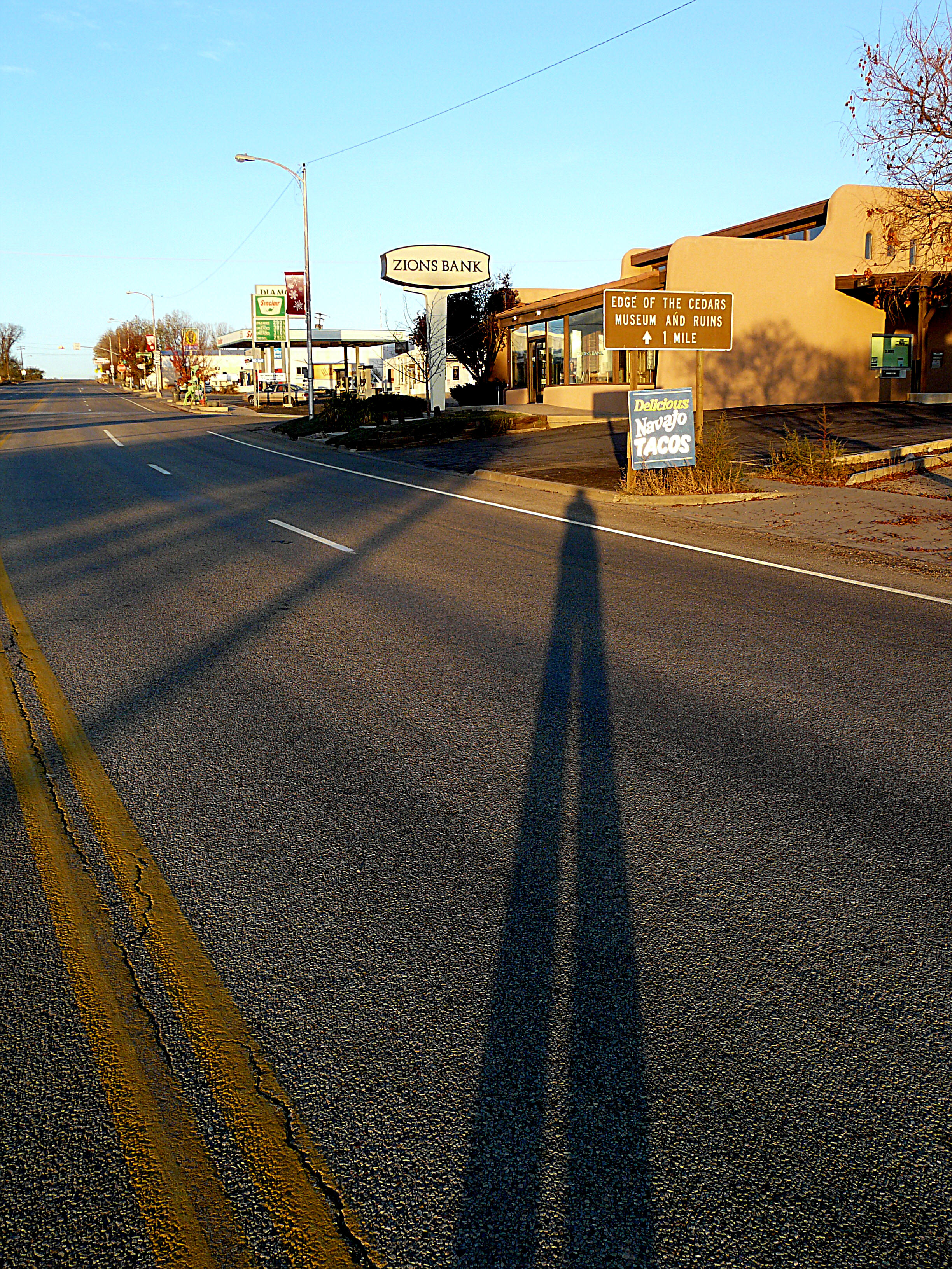
Edge of the Cedars
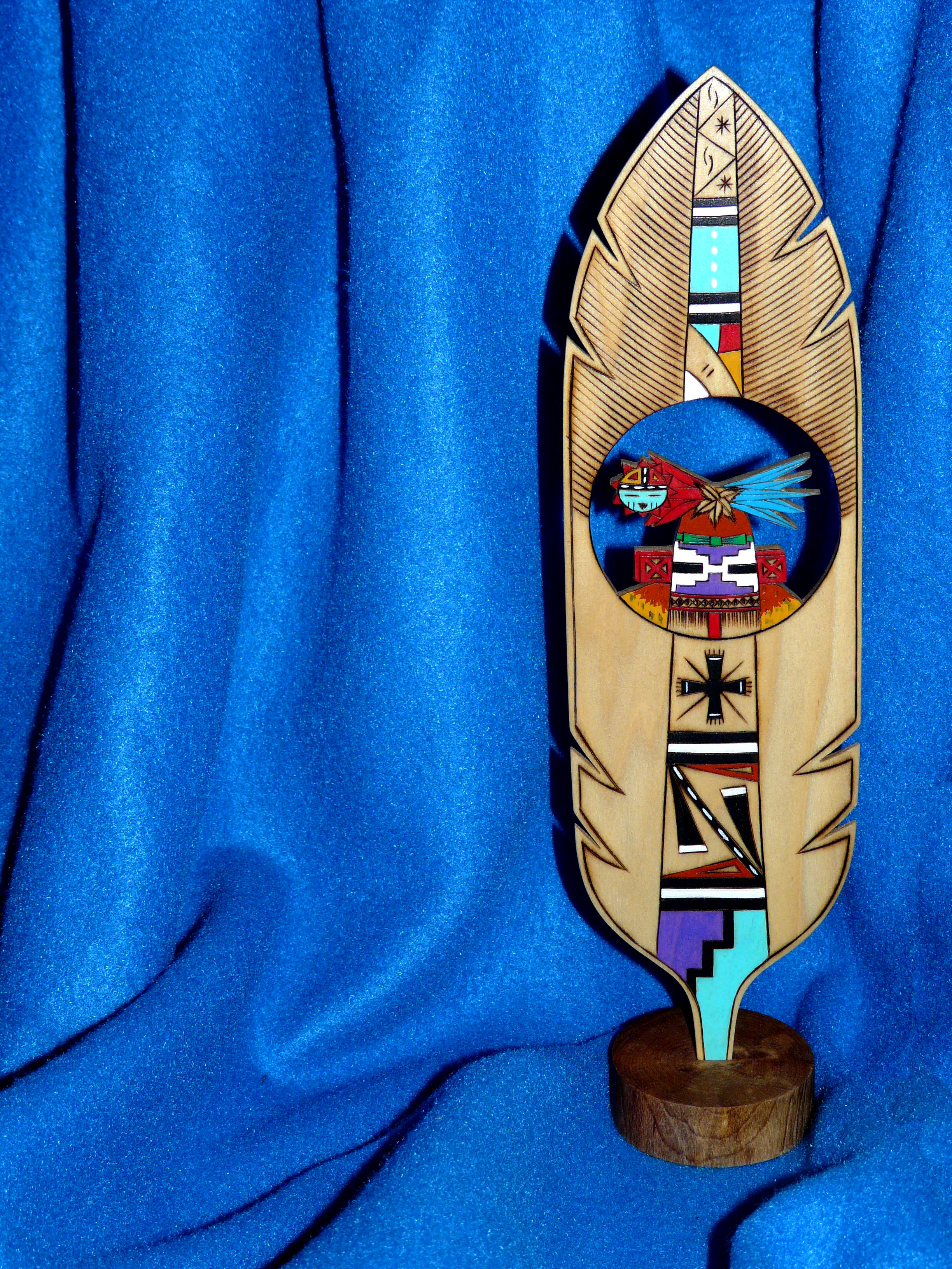
Hopi Prayer Feather
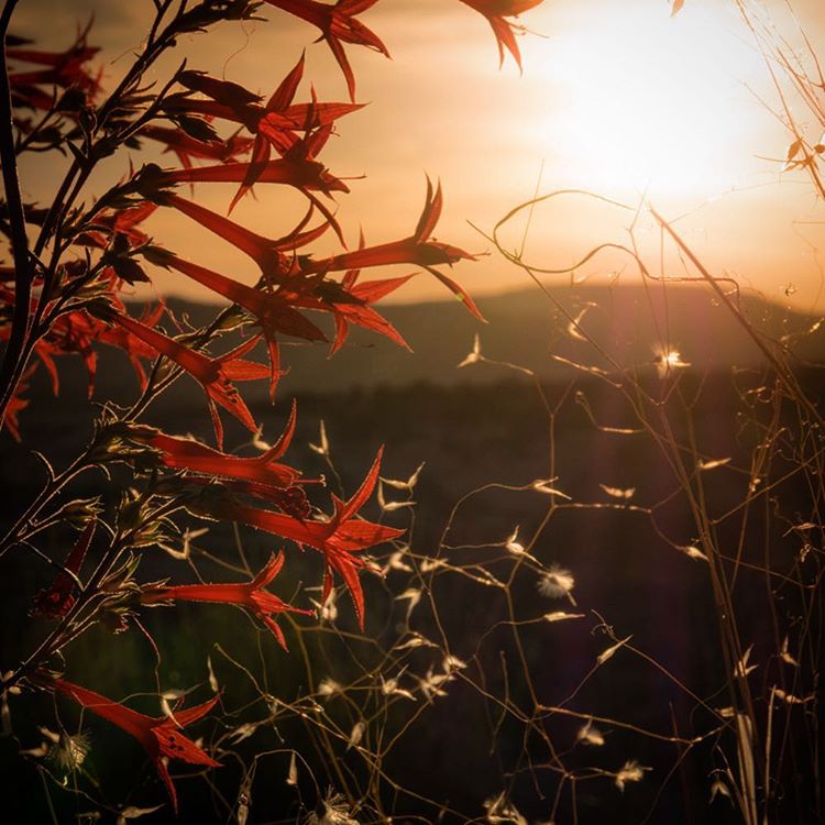
Last Light at the Edge
Phantom Photographer Phinds Phavorite Phood
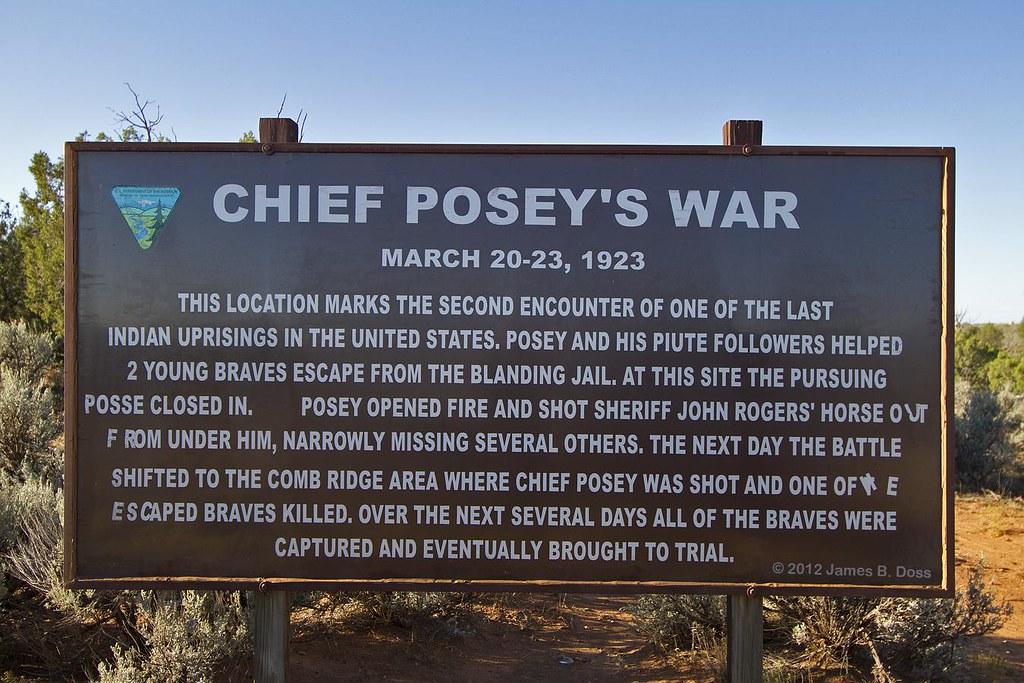
Chief Posey's War
Apparently it was a record-setting gorgeous fall day in #Colorado. I was stuck inside a conference with a ridiculous view of the Boulder foothills and Longs Peak...saw the sun for less time than it took me to post this picture of the it. This #sunset brou

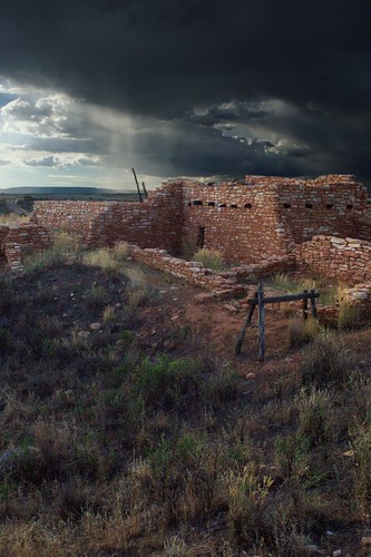
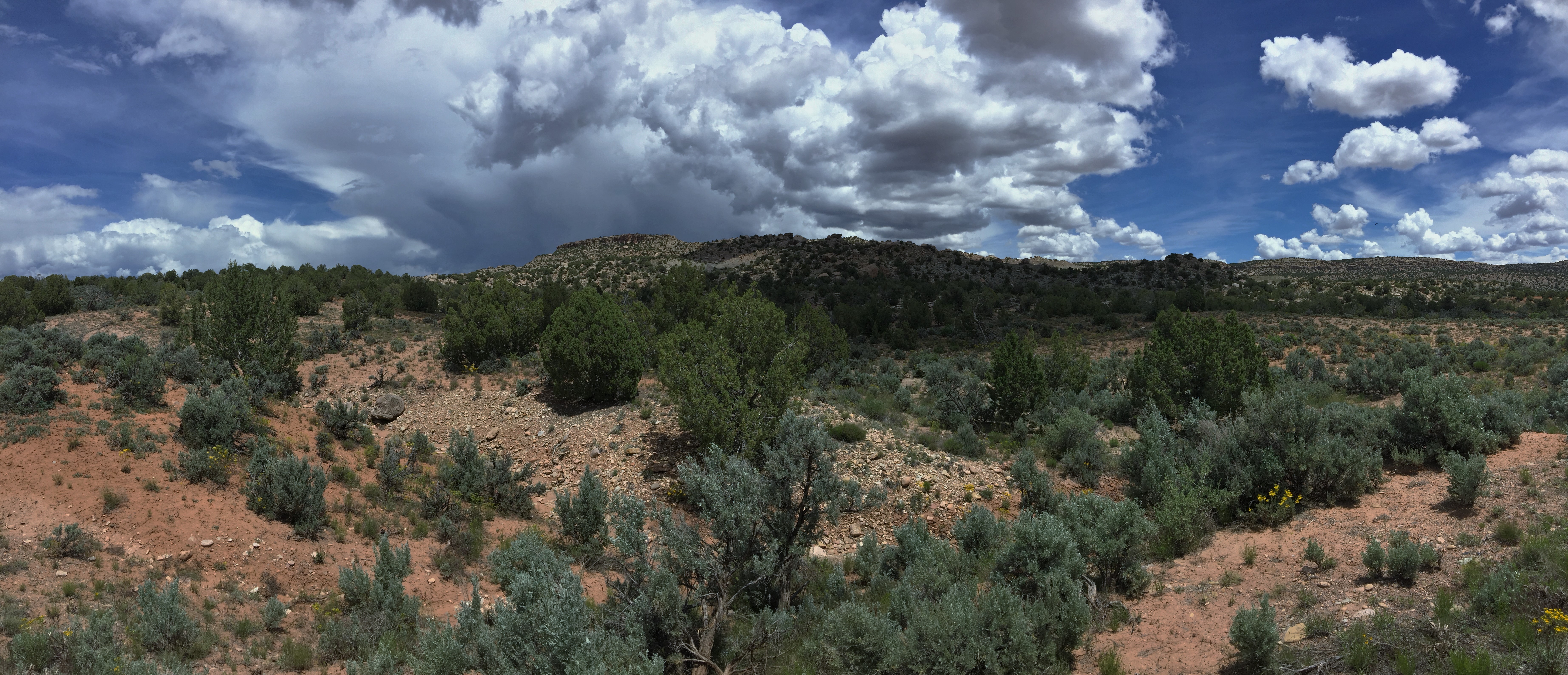
Storm Brewing
Butler Wash Utah
Four Corners Country
Good morning highway 95...
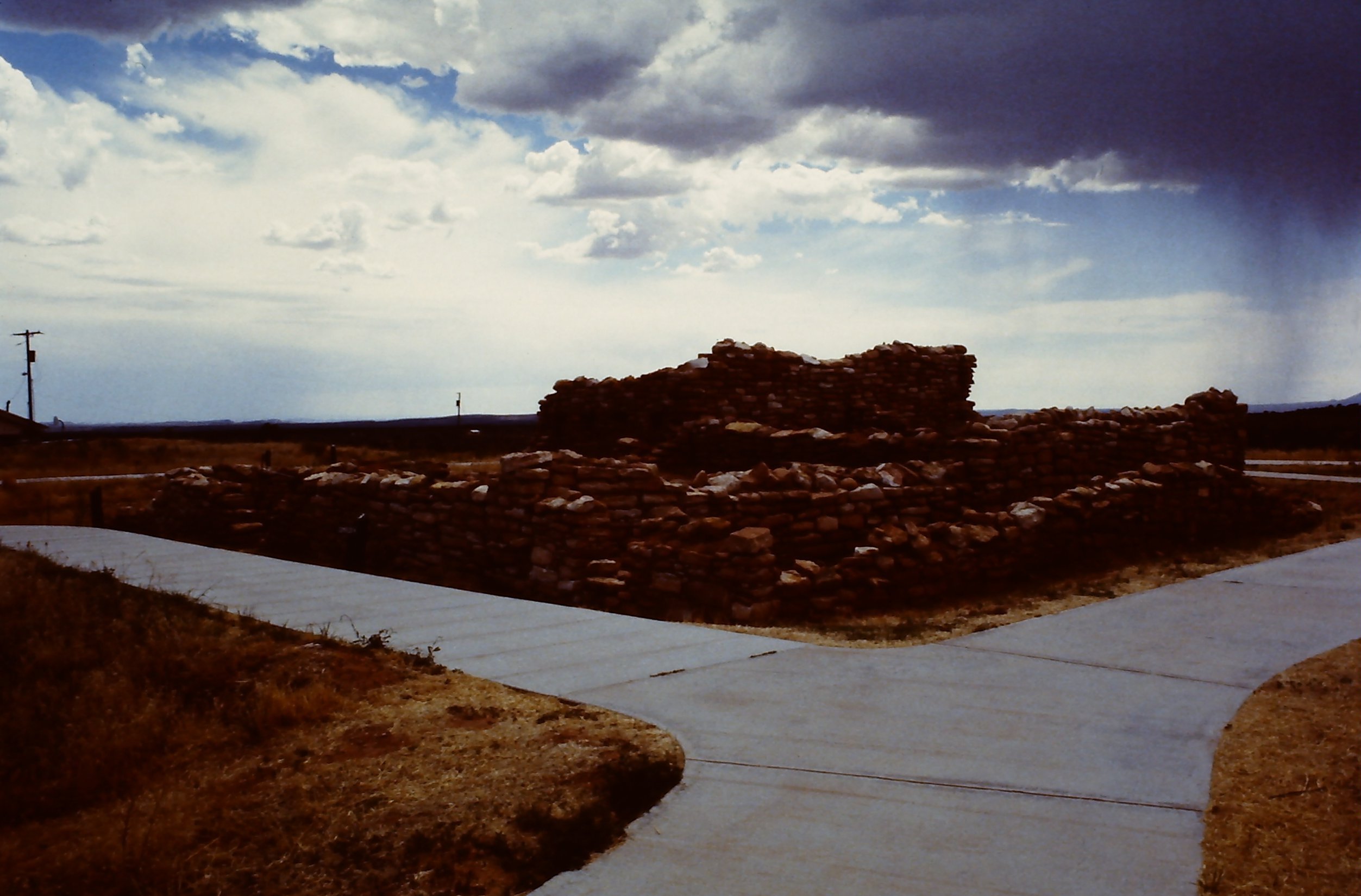
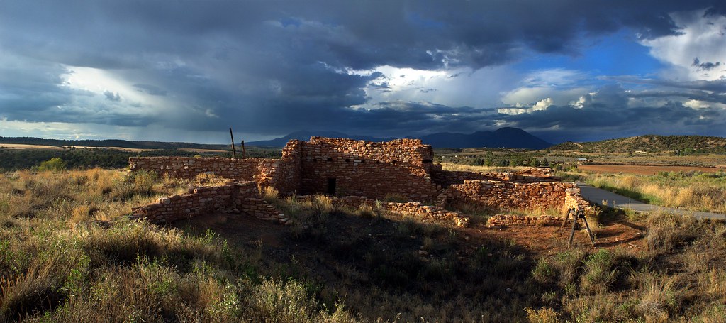
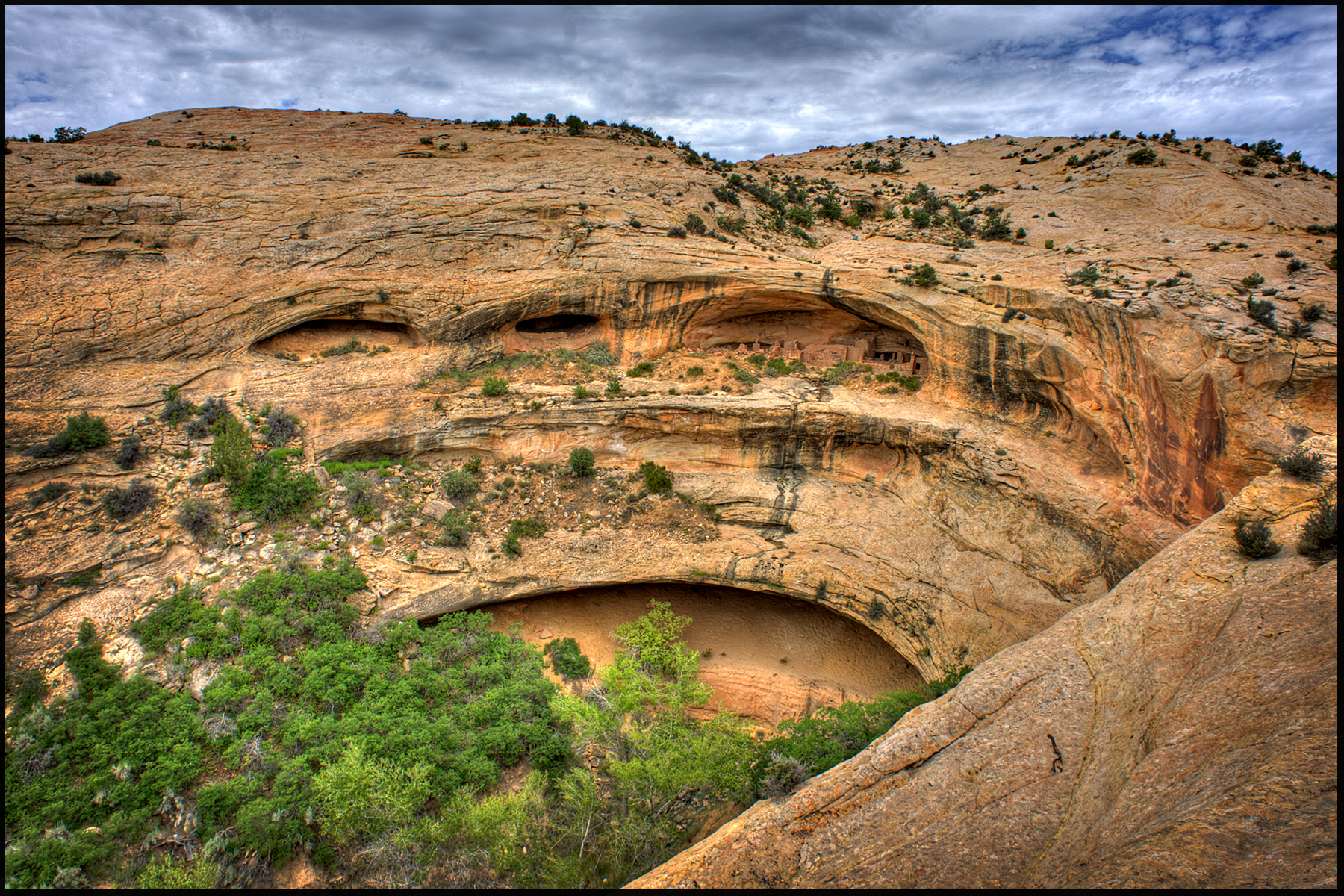
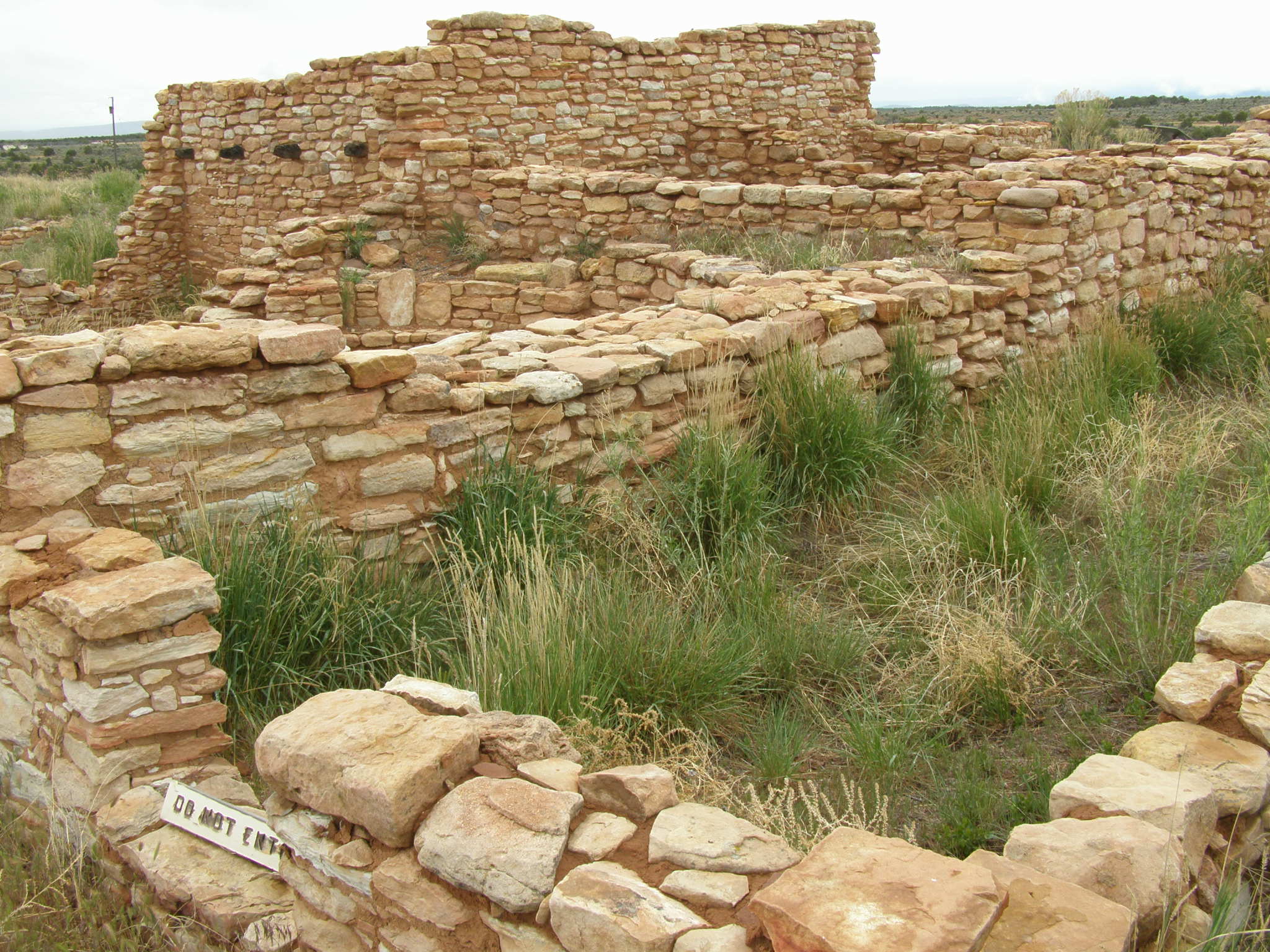
Edge of the Cedars Pueblo
us_trip 170
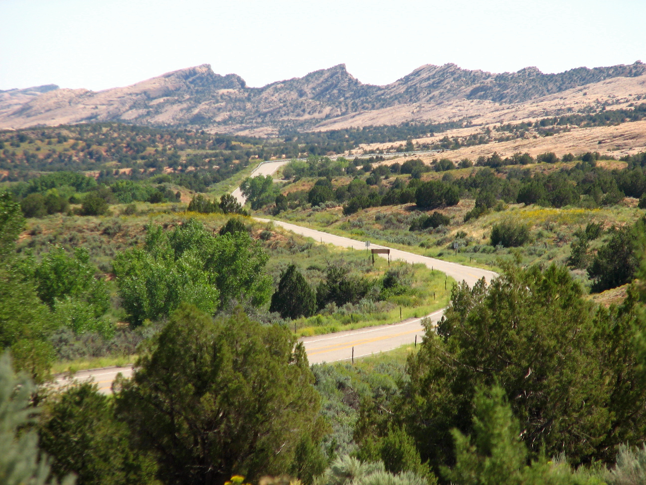
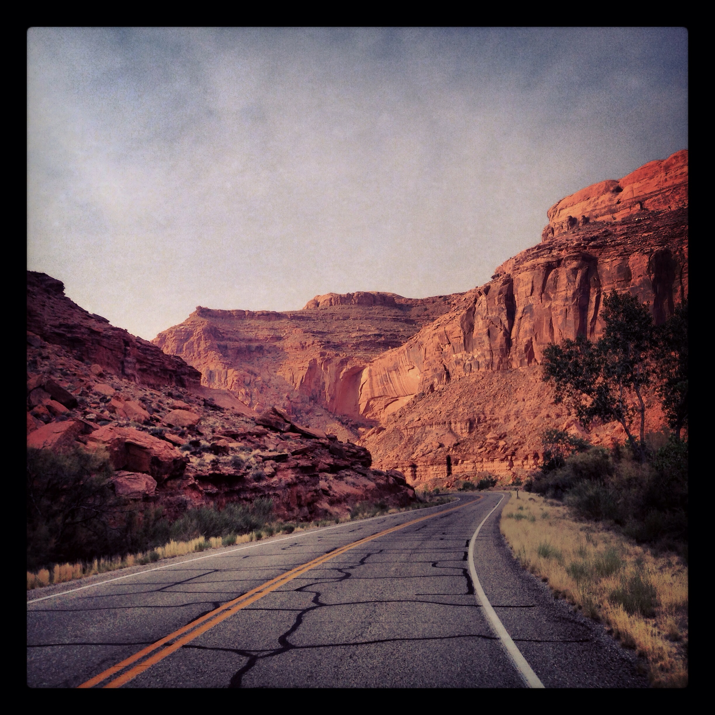
Hwy 95 to blanding
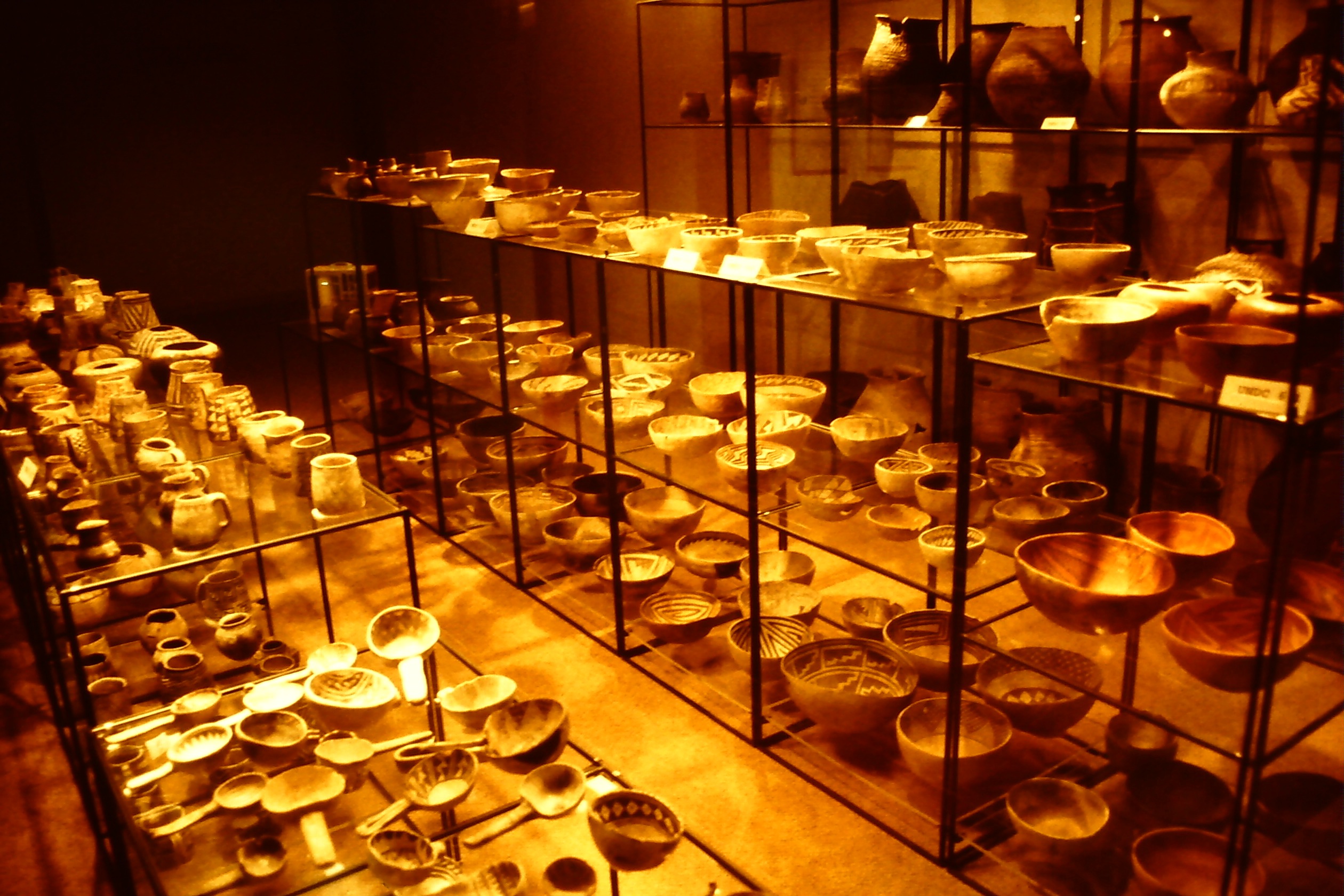
Anasazi Pottery
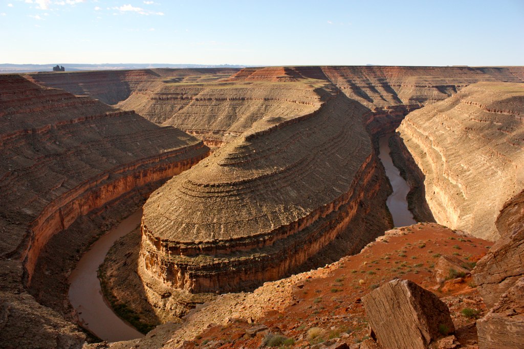
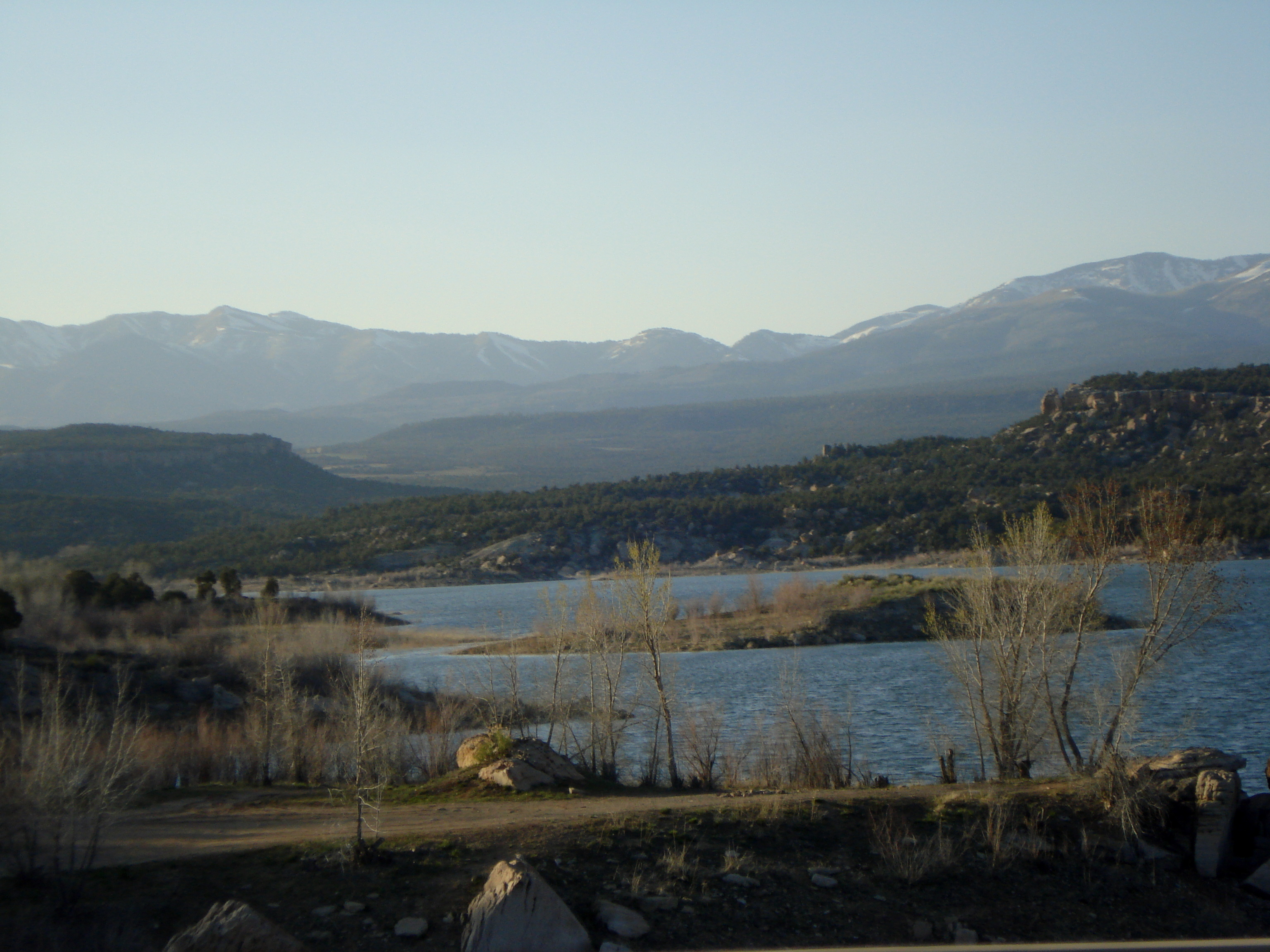
Goosenecks Utah State Park
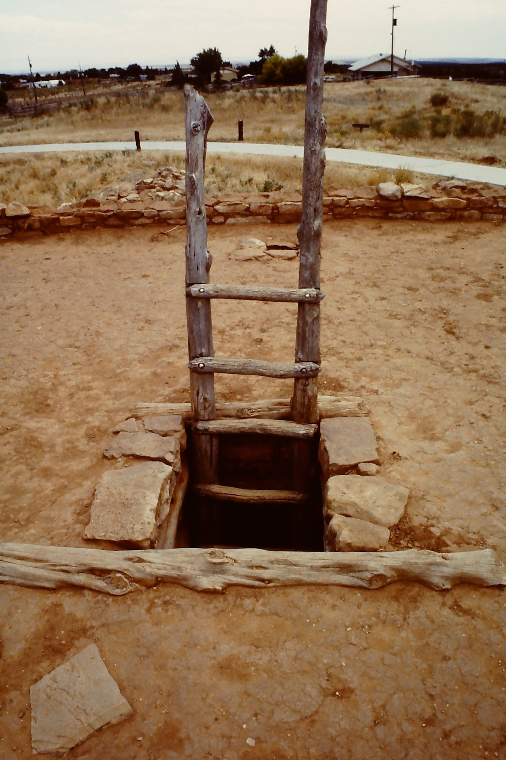
Edge of the Cedars Pueblo

Utah. Kicked our asses.
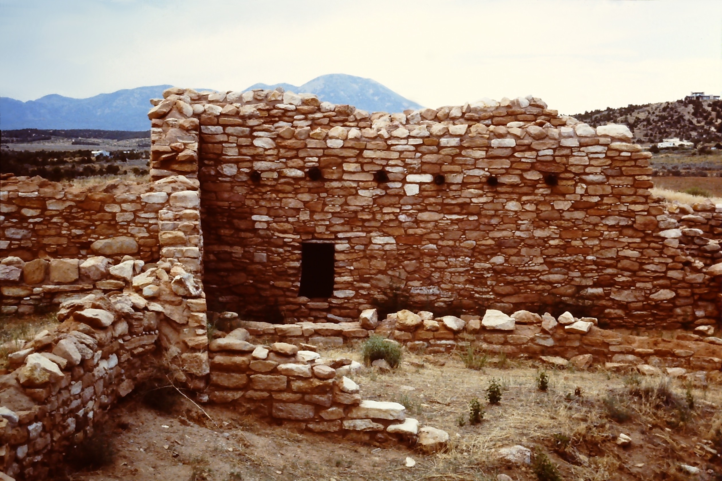
Edge of the Cedars Pueblo
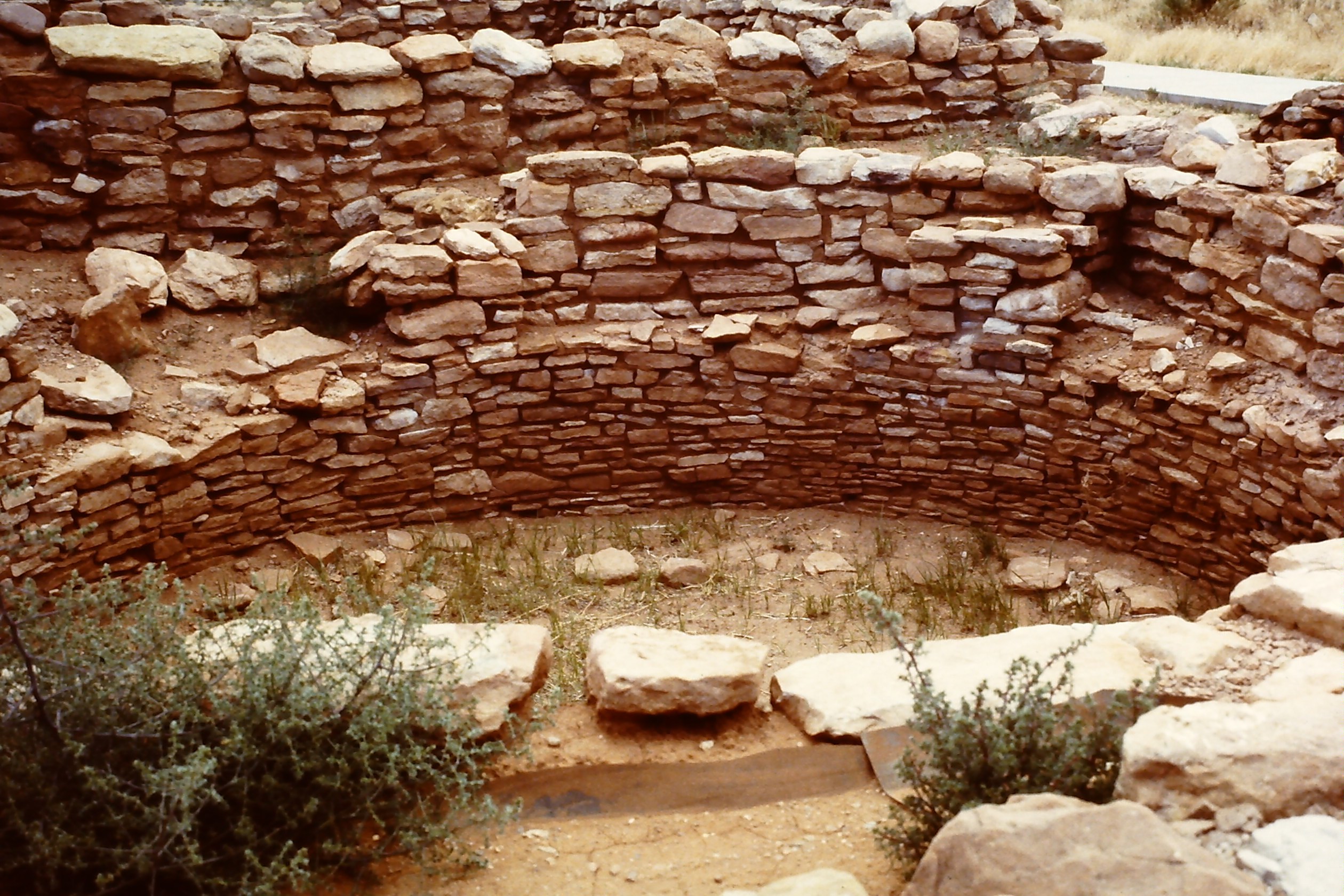
Edge of the Cedars Pueblo
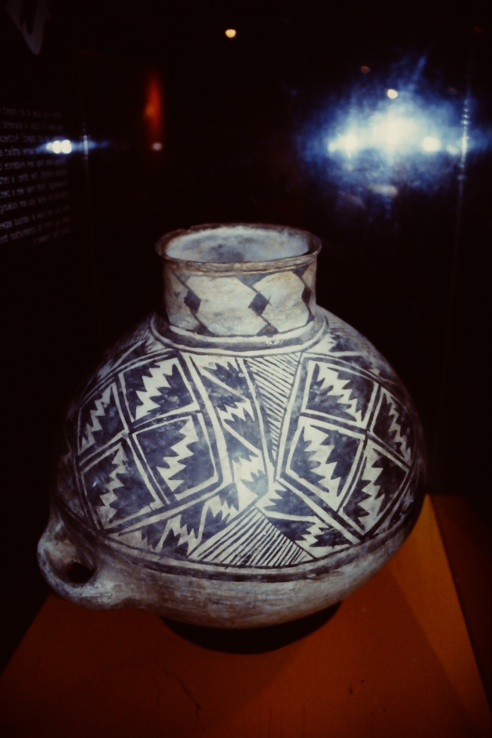
Anasazi Pottery

At the top of the bill way off in the distance from previous photo
Edge of the Cedars State Park, UT
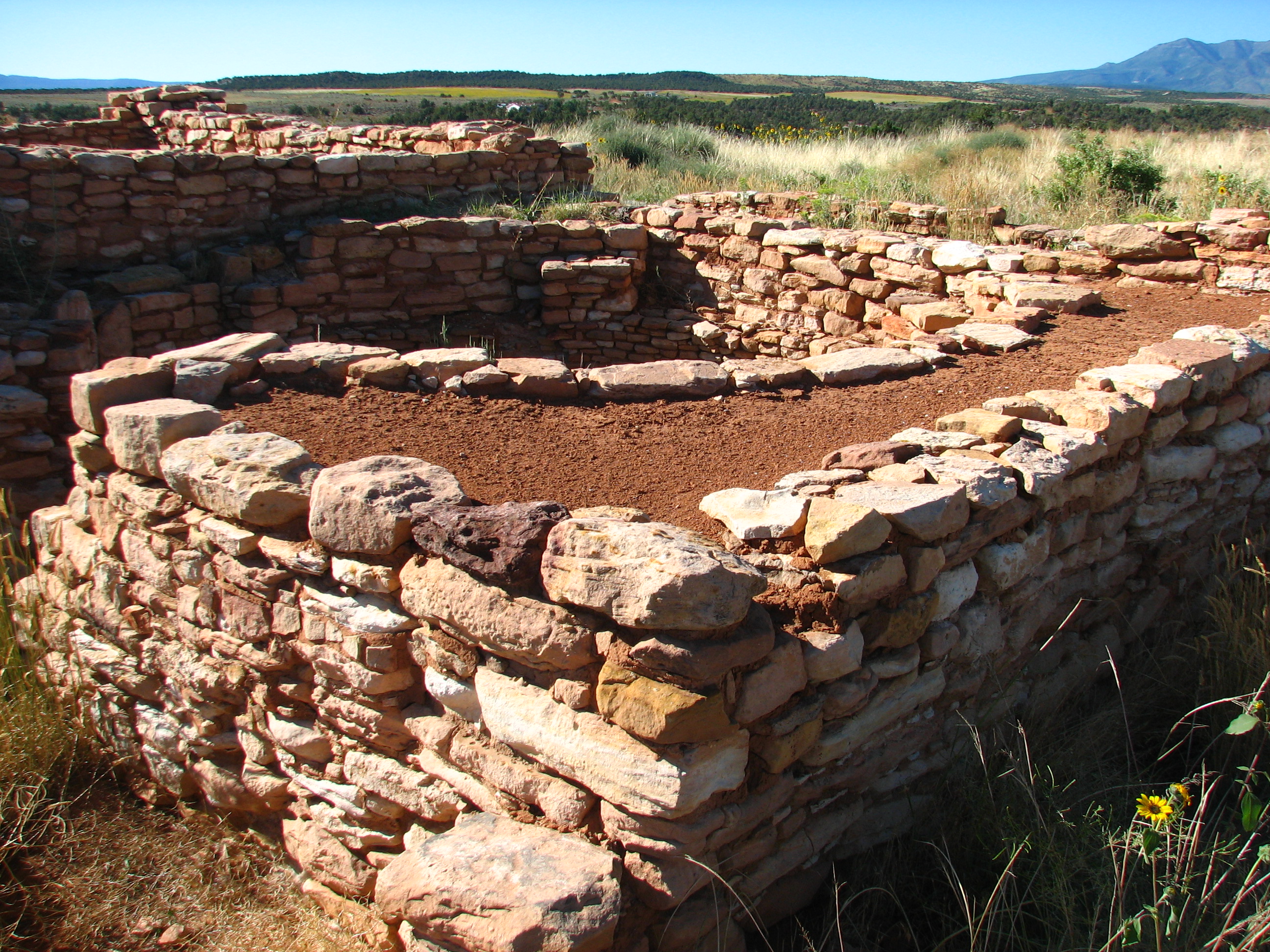
Edge of the Cedars State Park Museum, Blanding Utah
If you hold an object close enough, it begins to lose its sense of self.
Topographic Map of Blanding, UT, USA
Find elevation by address:

Places near Blanding, UT, USA:
355 E 850 S
Blue Mountain Rv & Trading
White Mesa Mill
Devils Canyon Campground
White Mesa
75 W Dude Ranch Rd
Nizhoni Campground
Butler Washington Road
Monticello
17 N E, Monticello, UT, USA
Bluff
E Main St, Bluff, UT, USA
Dove Creek, CO, USA
County Rd 2, Dove Creek, CO, USA
3728 Rd P
Road G, Cortez, CO, USA
County Road 10, Pleasant View, CO, USA
490 County Rd G
Road G, Cortez, CO, USA
Dove Creek
Recent Searches:
- Elevation of Corso Fratelli Cairoli, 35, Macerata MC, Italy
- Elevation of Tallevast Rd, Sarasota, FL, USA
- Elevation of 4th St E, Sonoma, CA, USA
- Elevation of Black Hollow Rd, Pennsdale, PA, USA
- Elevation of Oakland Ave, Williamsport, PA, USA
- Elevation of Pedrógão Grande, Portugal
- Elevation of Klee Dr, Martinsburg, WV, USA
- Elevation of Via Roma, Pieranica CR, Italy
- Elevation of Tavkvetili Mountain, Georgia
- Elevation of Hartfords Bluff Cir, Mt Pleasant, SC, USA