Elevation of White Mesa Mill, South, US-, Blanding, UT, USA
Location: United States > Utah > San Juan County > Blanding >
Longitude: -109.47838
Latitude: 37.5908894
Elevation: 1788m / 5866feet
Barometric Pressure: 82KPa
Elevation Map:
Satellite Map:
Related Photos:
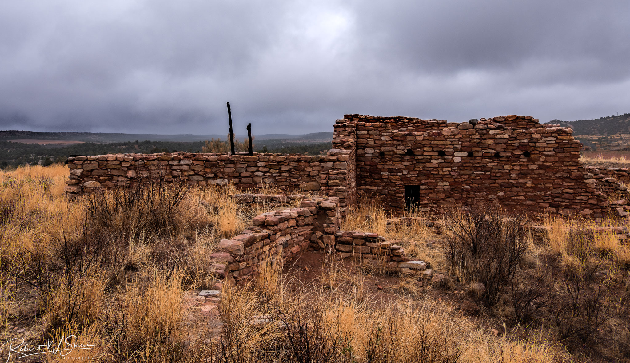
Edge of the Cedars Ruin
Apparently it was a record-setting gorgeous fall day in #Colorado. I was stuck inside a conference with a ridiculous view of the Boulder foothills and Longs Peak...saw the sun for less time than it took me to post this picture of the it. This #sunset brou
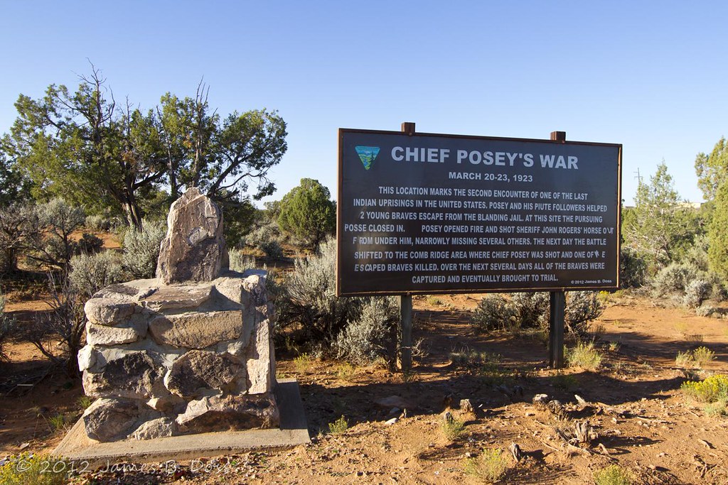
Chief Posey's War
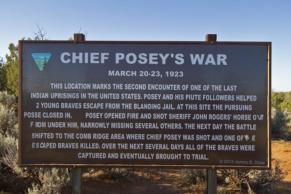
Chief Posey's War
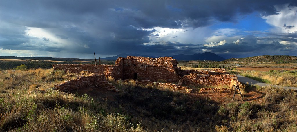
Edge of the Cedars

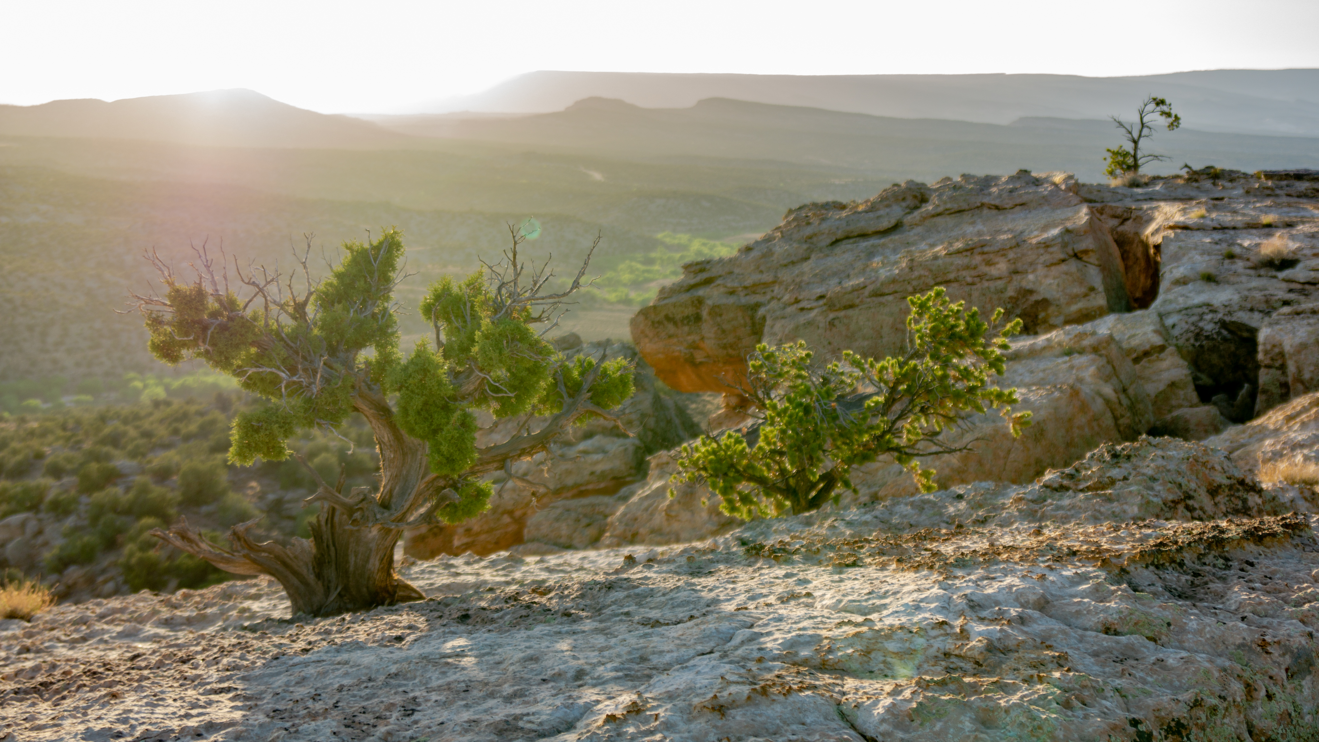
Out In The Middle of Nowhere
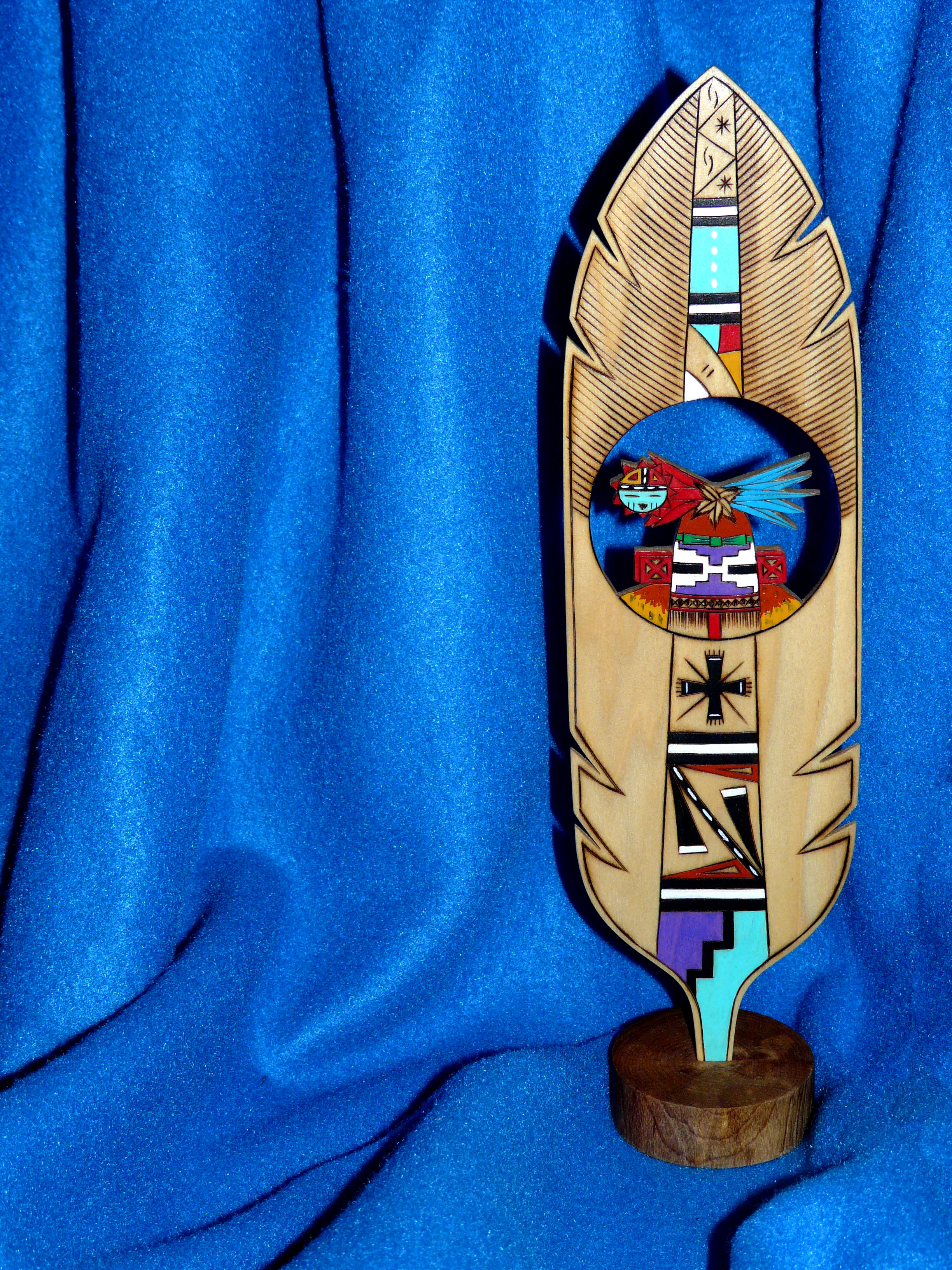
Hopi Prayer Feather
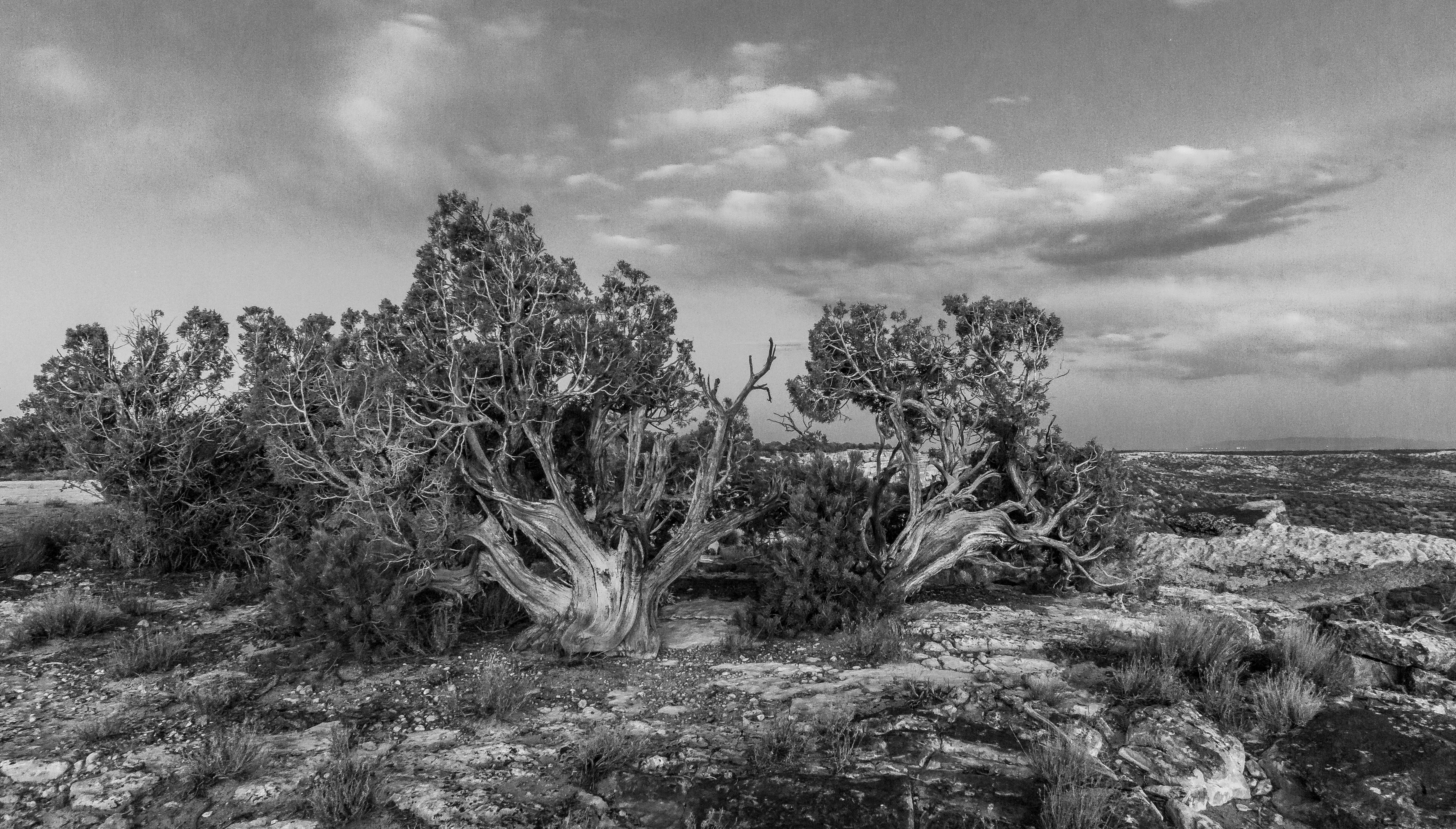
hazy view of the wall
_DSC1924-1
_DSC1688-1
_DSC1699-1

_DSC1729 #2-4
_DSC1729-5
_DSC1727-3
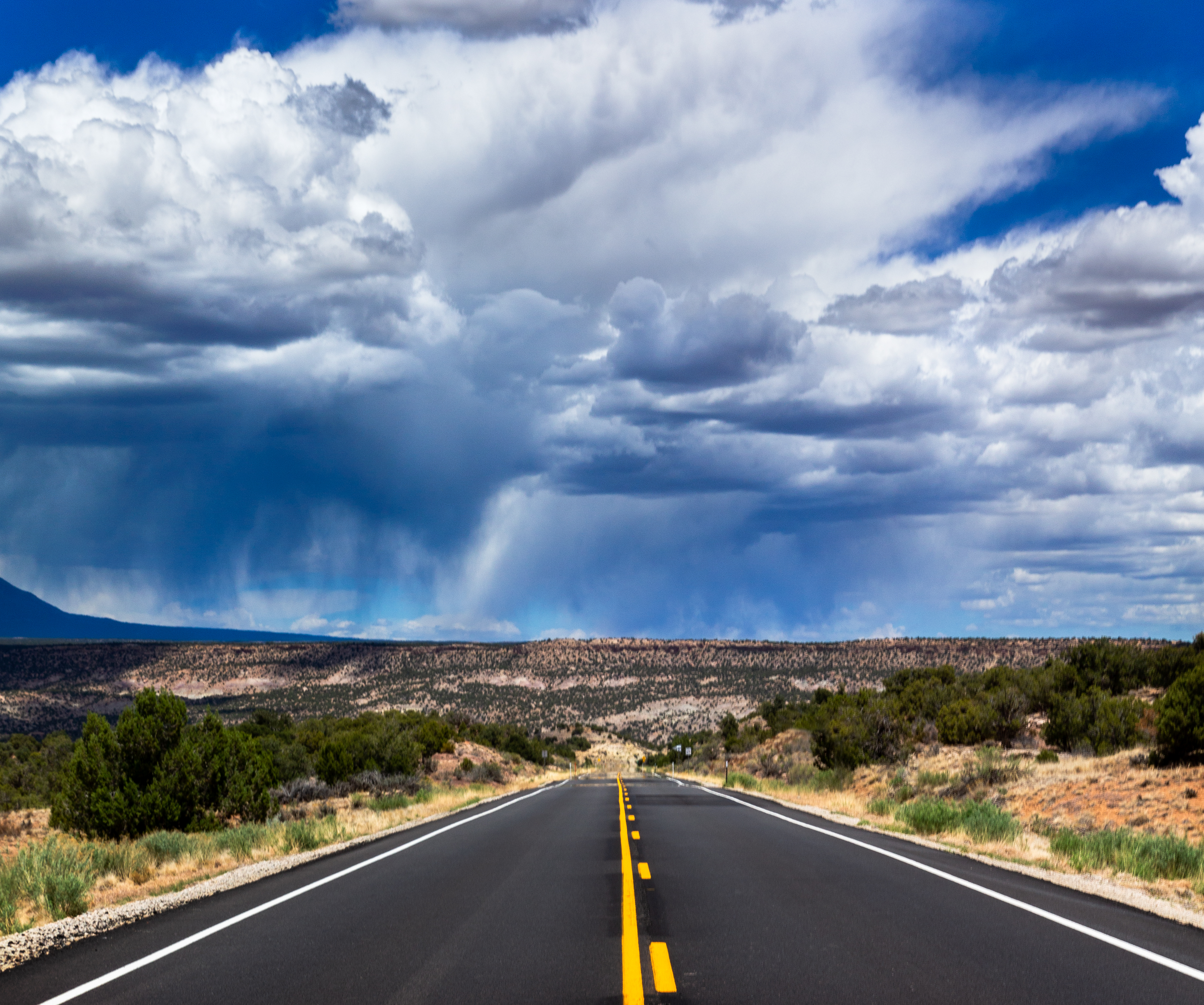
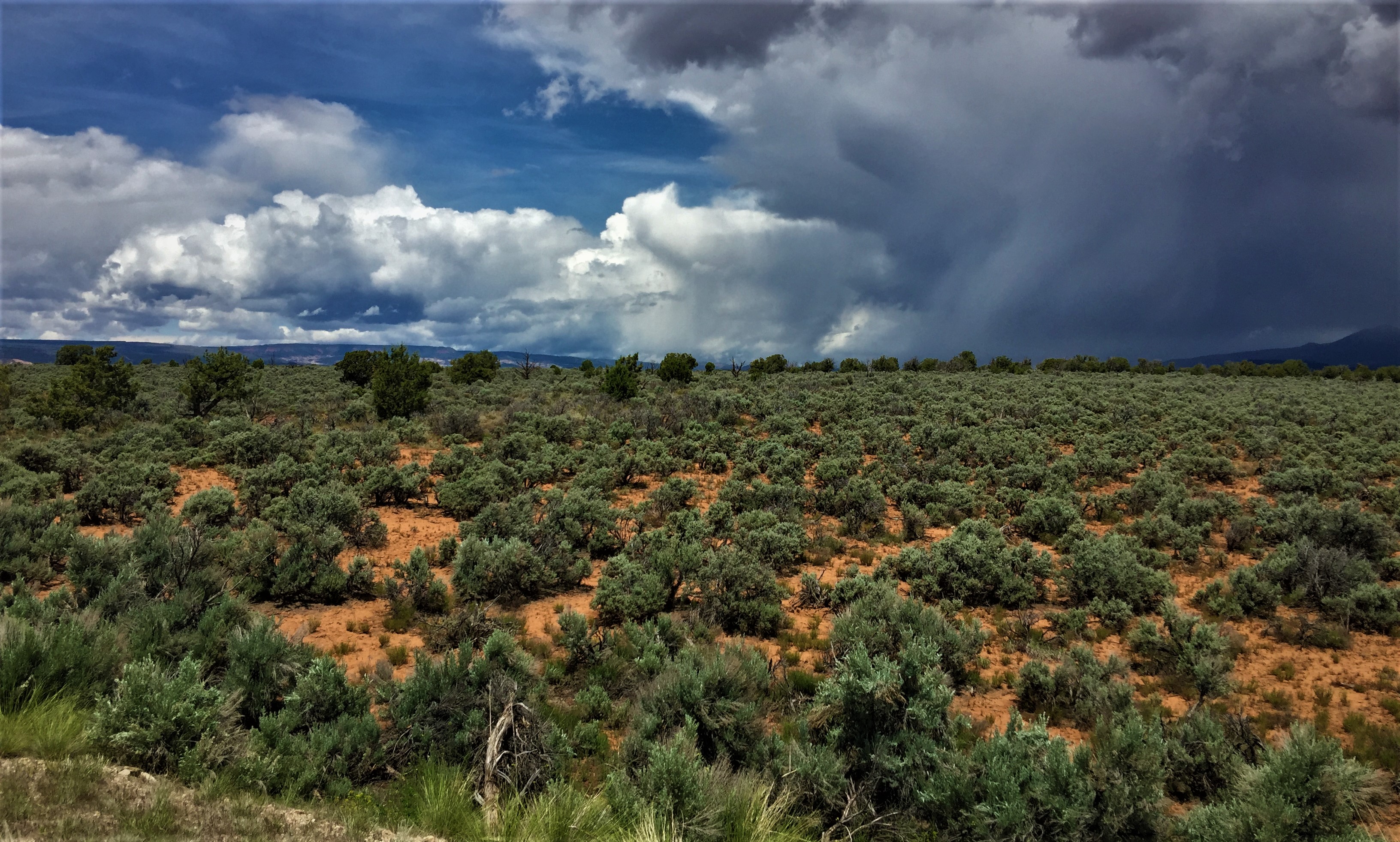
Weather in Utah
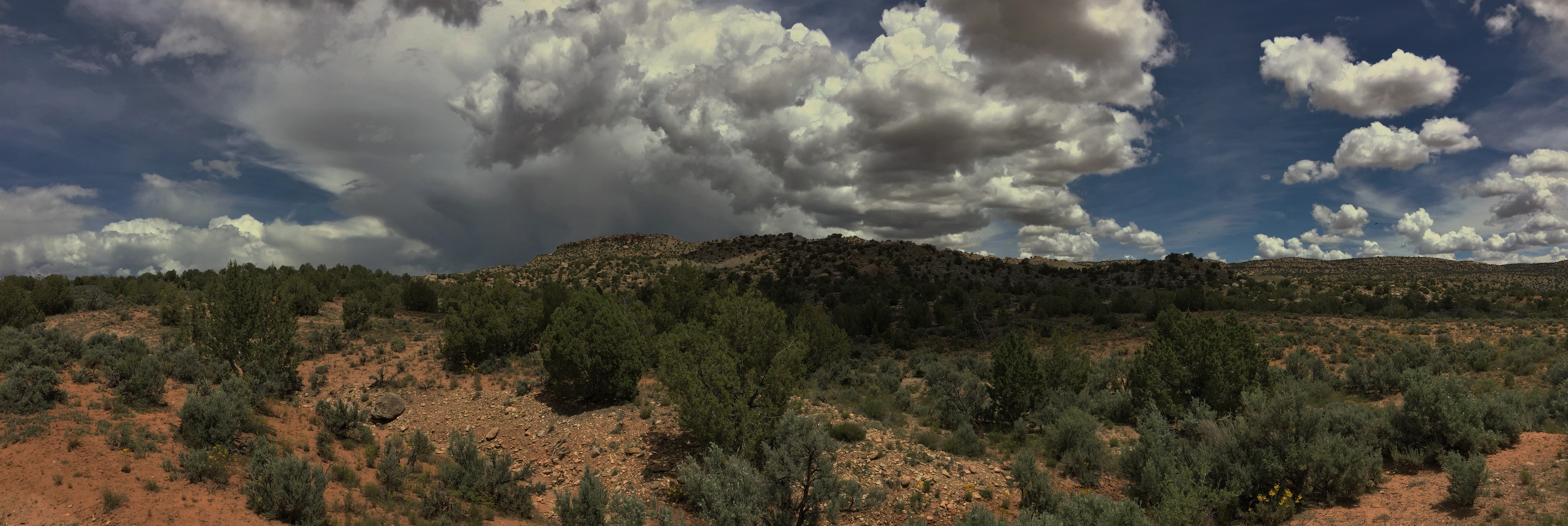
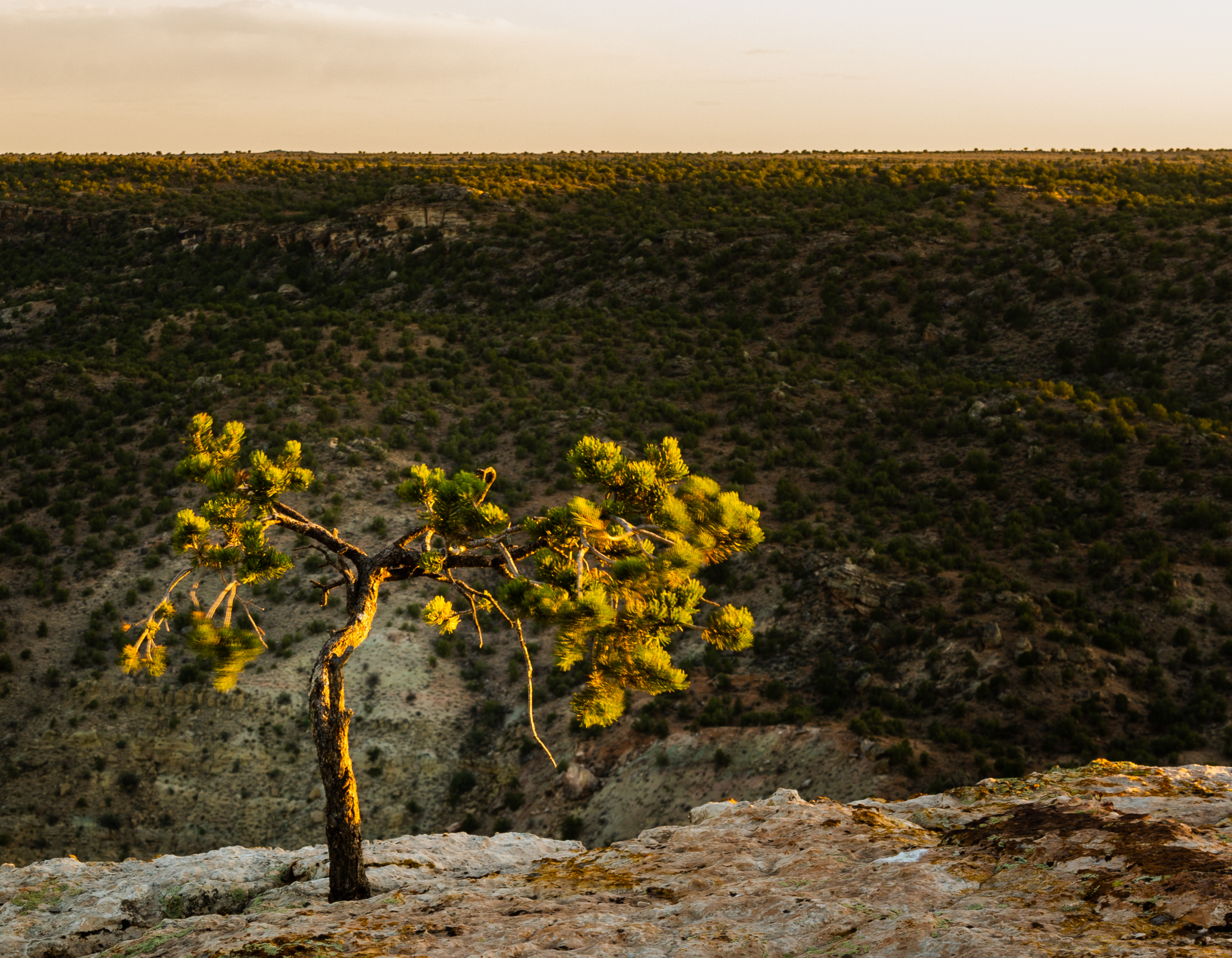
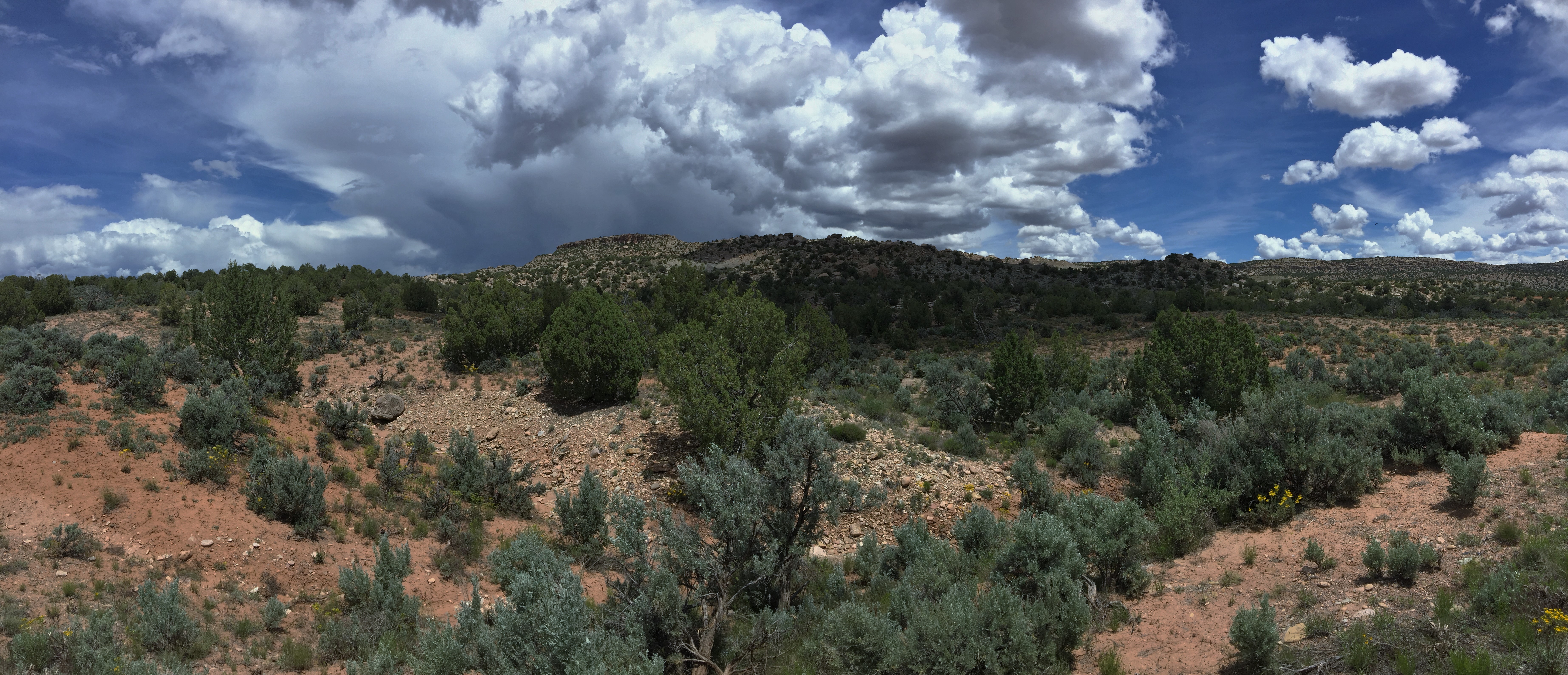
High Utah Desert

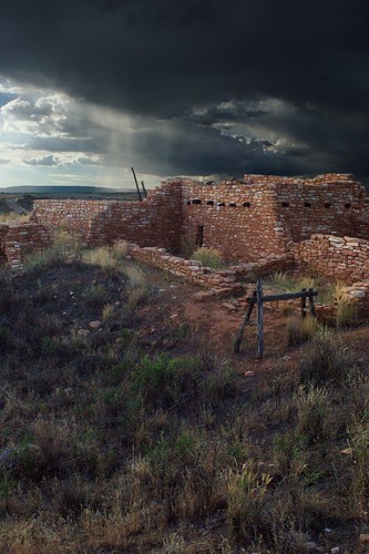
Butler Wash Ruins

Blanding - Water Reservoir
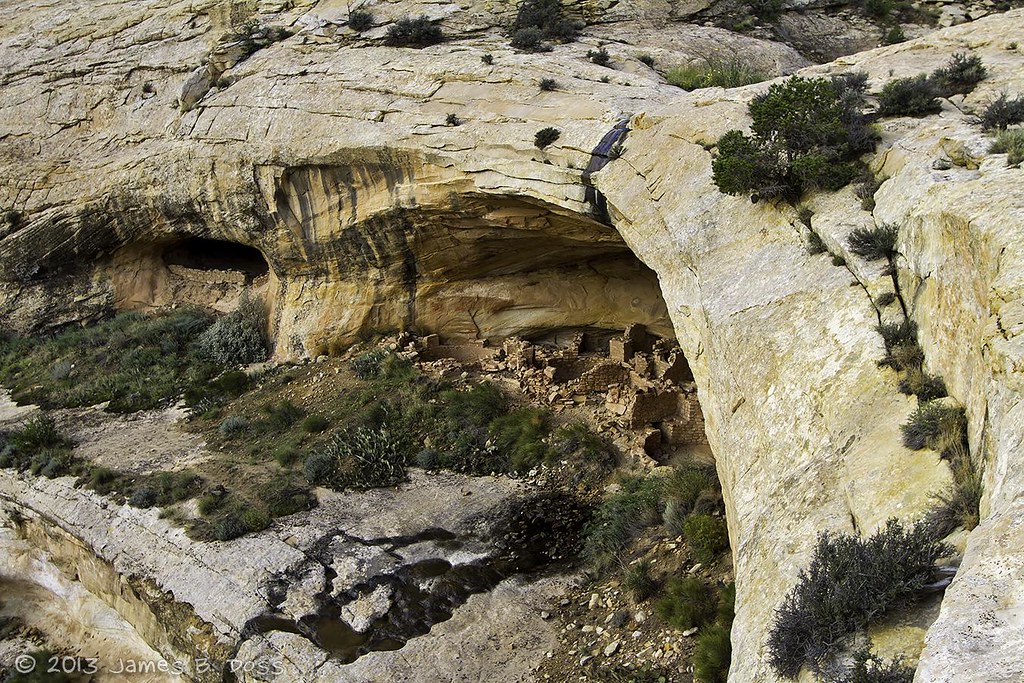
Butler Wash Ruin
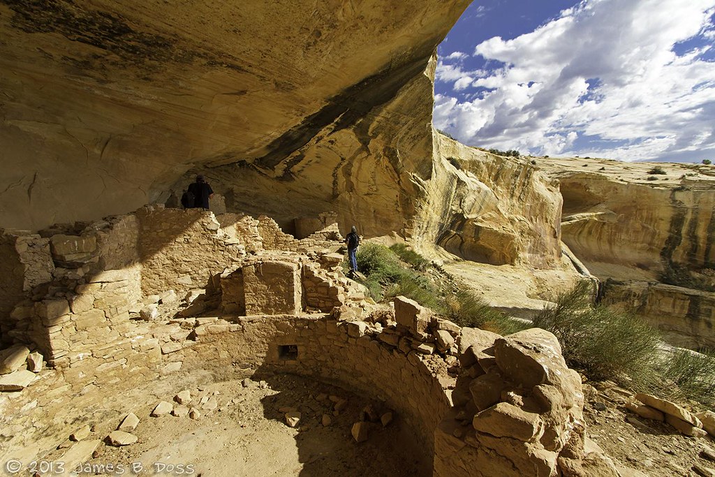
Butler Wash Ruins
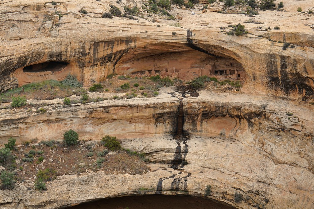
Butler Wash ruins
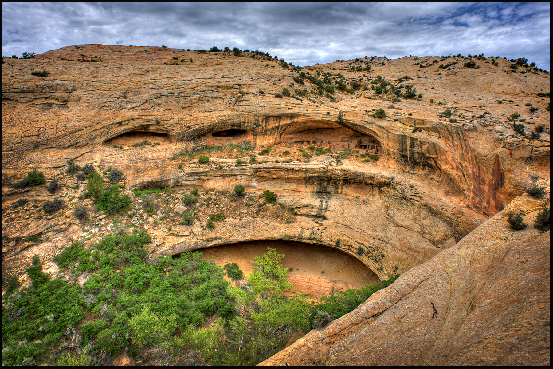
Butler Wash Utah
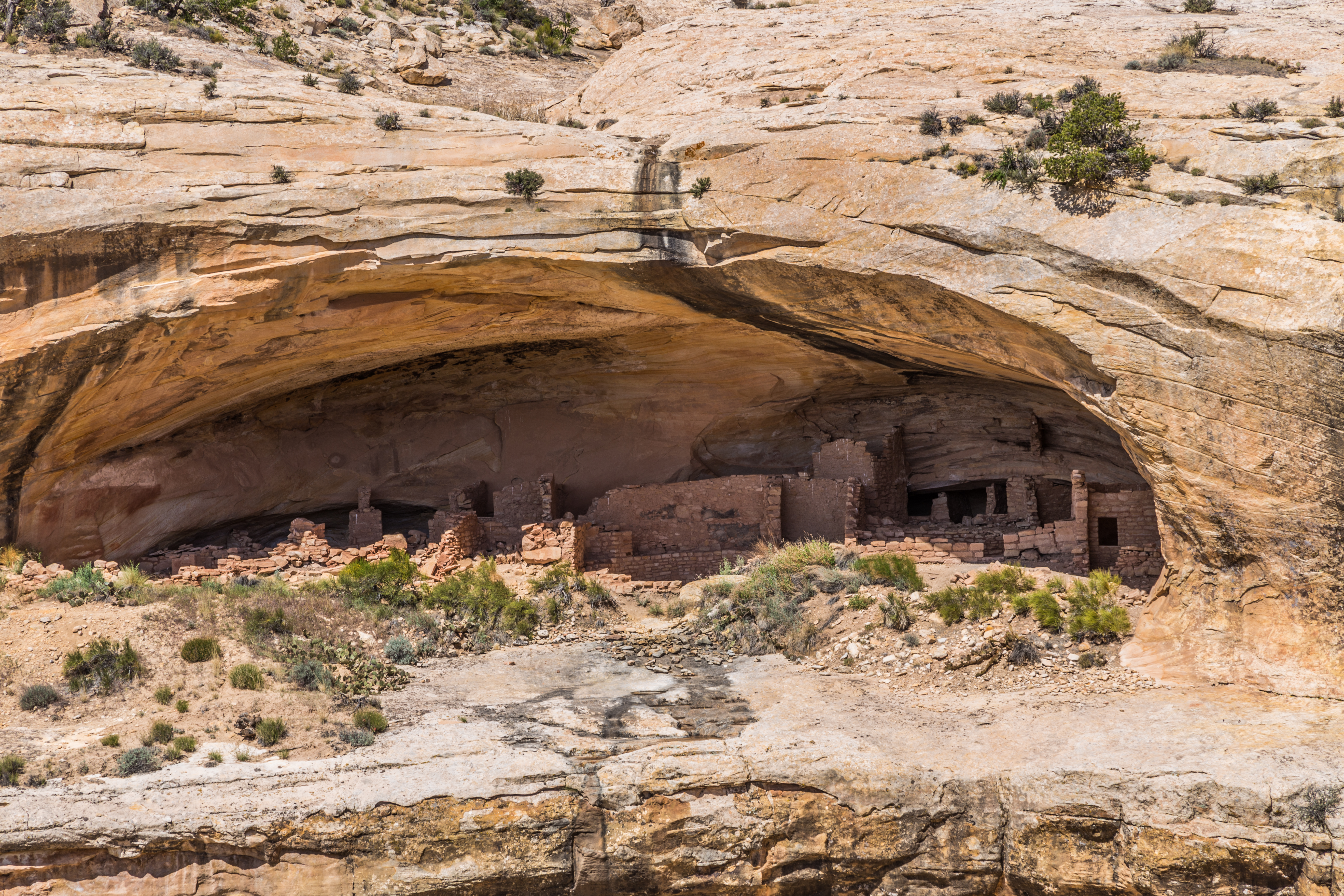
Rock Dwelling
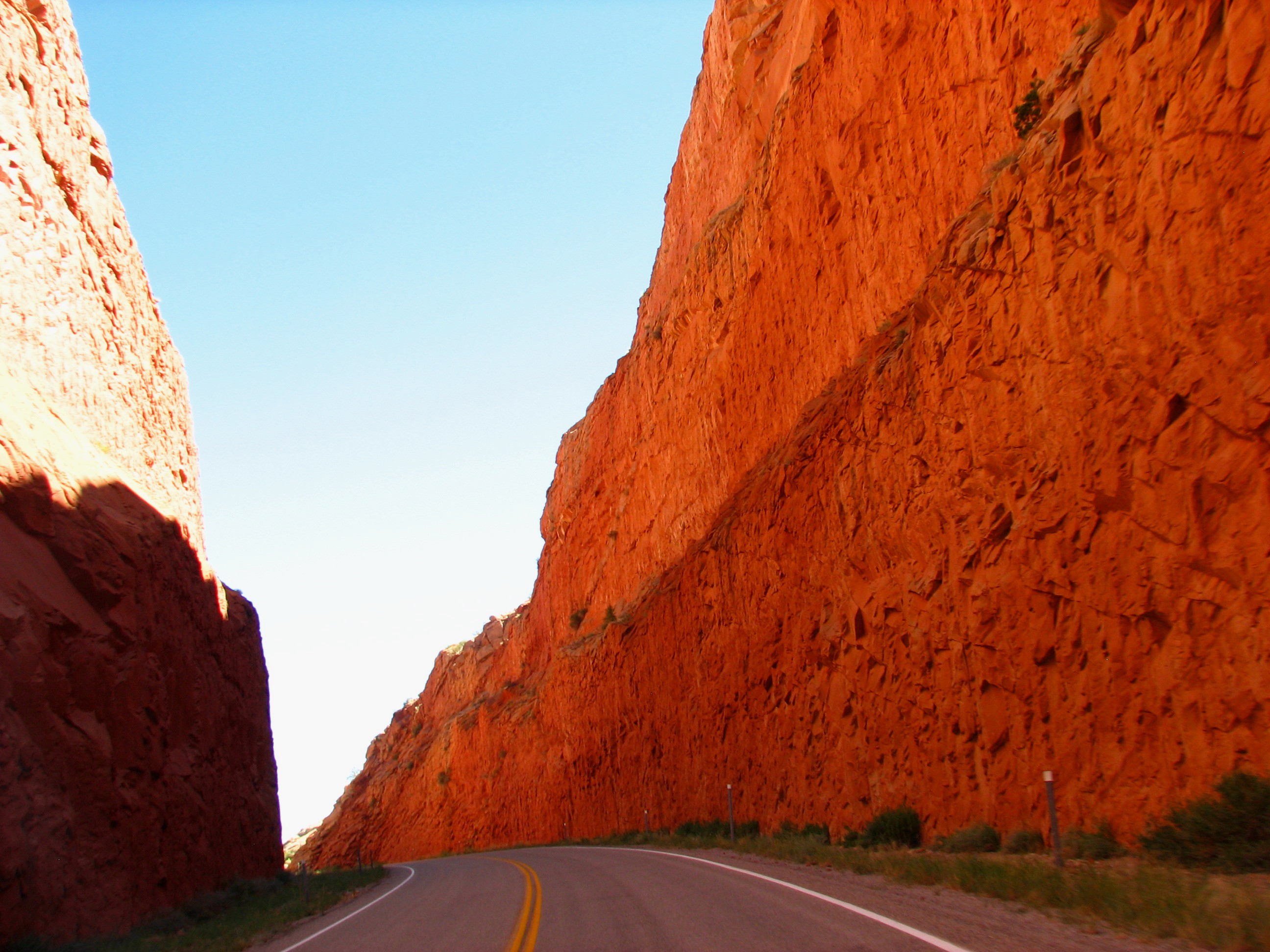
Hwy 95 to blanding

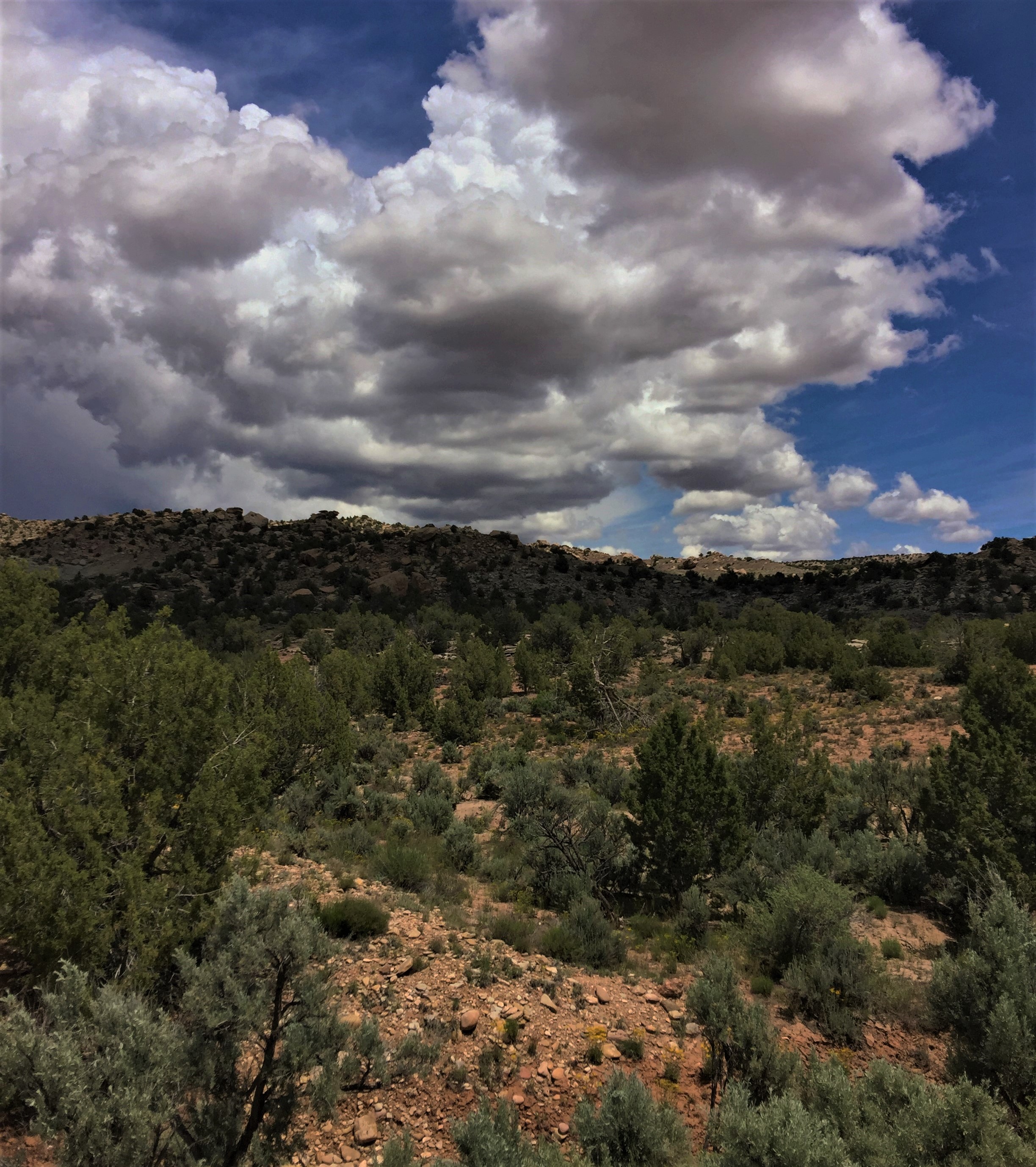
Blanding - Winter Clouds
Four Corners Country
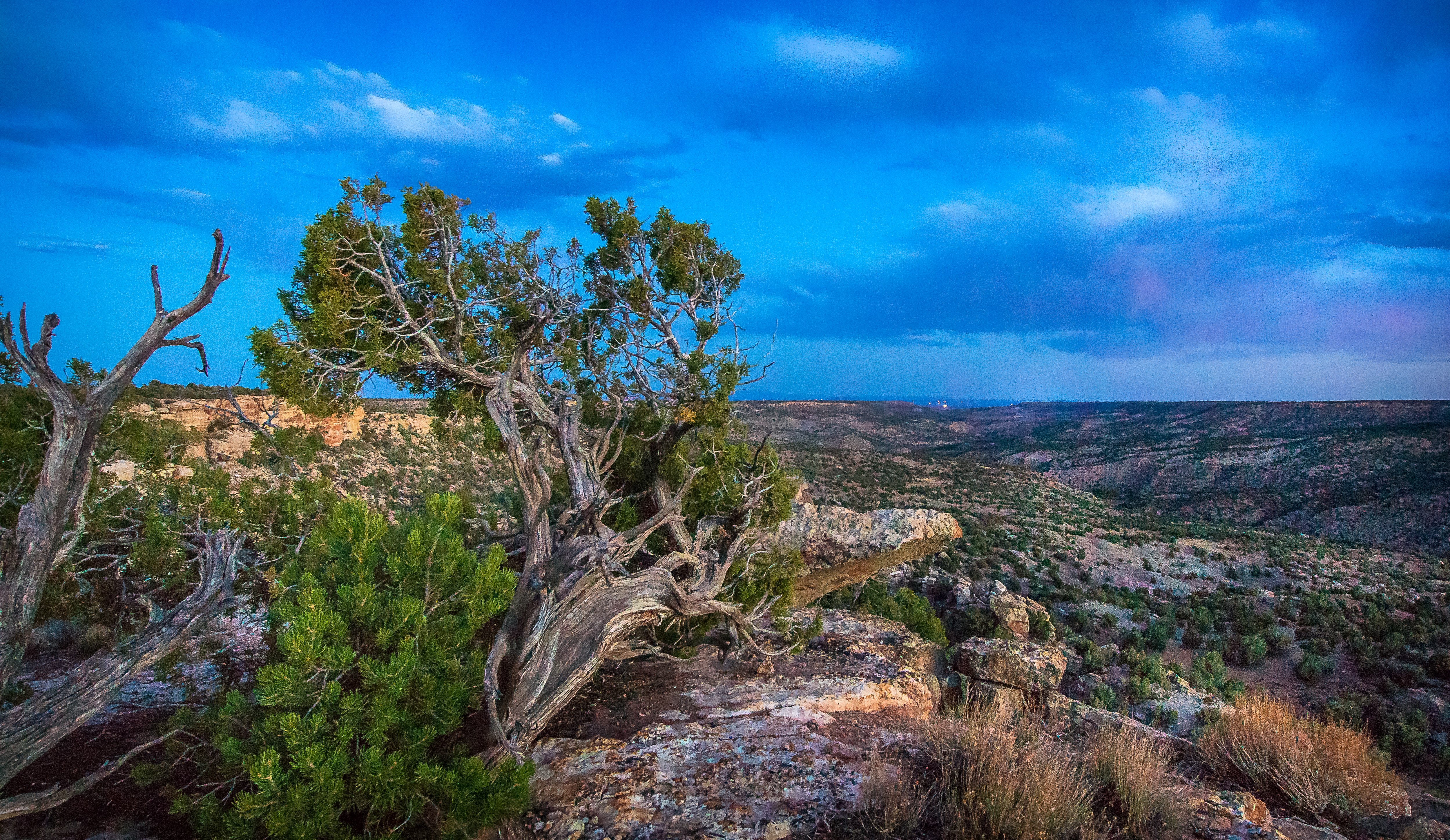
Last Light at the Edge
Storms Across the West
Topographic Map of White Mesa Mill, South, US-, Blanding, UT, USA
Find elevation by address:

Places near White Mesa Mill, South, US-, Blanding, UT, USA:
Blue Mountain Rv & Trading
355 E 850 S
Blanding
White Mesa
Devils Canyon Campground
75 W Dude Ranch Rd
Butler Washington Road
Nizhoni Campground
Monticello
17 N E, Monticello, UT, USA
Bluff
E Main St, Bluff, UT, USA
Dove Creek, CO, USA
County Rd 2, Dove Creek, CO, USA
3728 Rd P
Road G, Cortez, CO, USA
490 County Rd G
County Road 10, Pleasant View, CO, USA
Road G, Cortez, CO, USA
Dove Creek
Recent Searches:
- Elevation of Corso Fratelli Cairoli, 35, Macerata MC, Italy
- Elevation of Tallevast Rd, Sarasota, FL, USA
- Elevation of 4th St E, Sonoma, CA, USA
- Elevation of Black Hollow Rd, Pennsdale, PA, USA
- Elevation of Oakland Ave, Williamsport, PA, USA
- Elevation of Pedrógão Grande, Portugal
- Elevation of Klee Dr, Martinsburg, WV, USA
- Elevation of Via Roma, Pieranica CR, Italy
- Elevation of Tavkvetili Mountain, Georgia
- Elevation of Hartfords Bluff Cir, Mt Pleasant, SC, USA