Elevation of Mexican Water, AZ, USA
Location: United States > Arizona > Apache County > Teec Nos Pos >
Longitude: -109.63789
Latitude: 36.9669462
Elevation: 1476m / 4843feet
Barometric Pressure: 85KPa
Elevation Map:
Satellite Map:
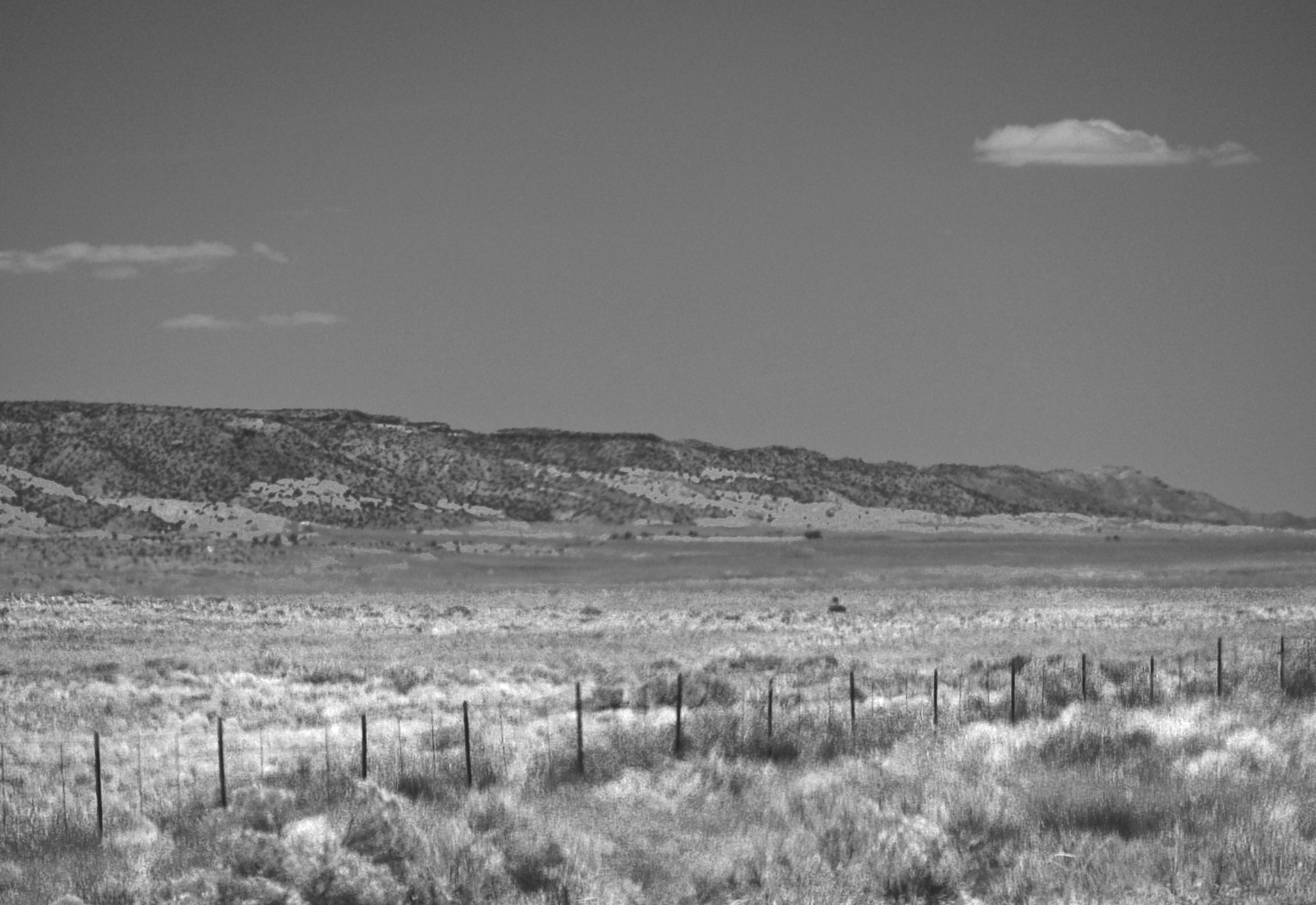
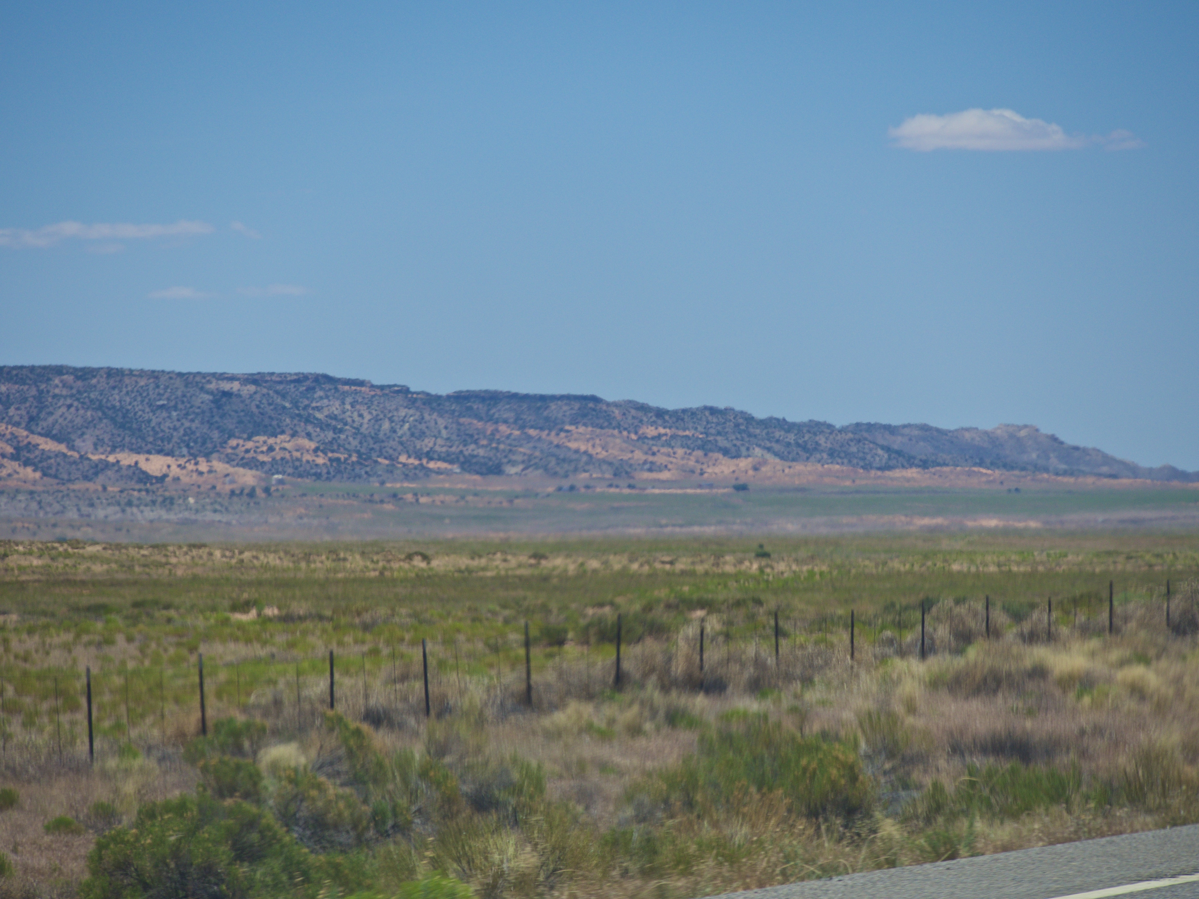
Related Photos:
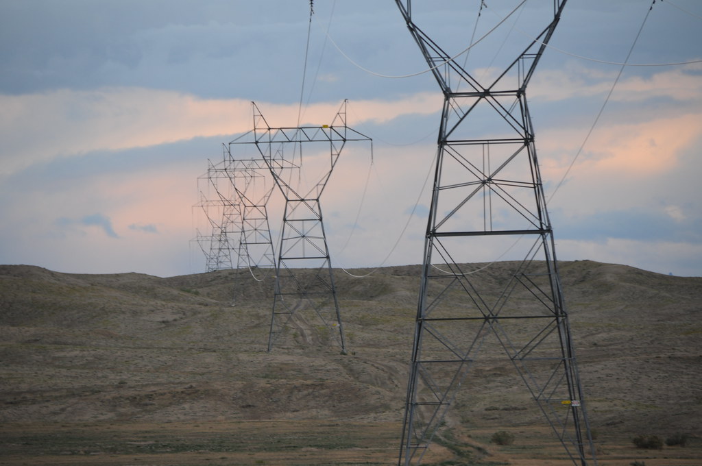
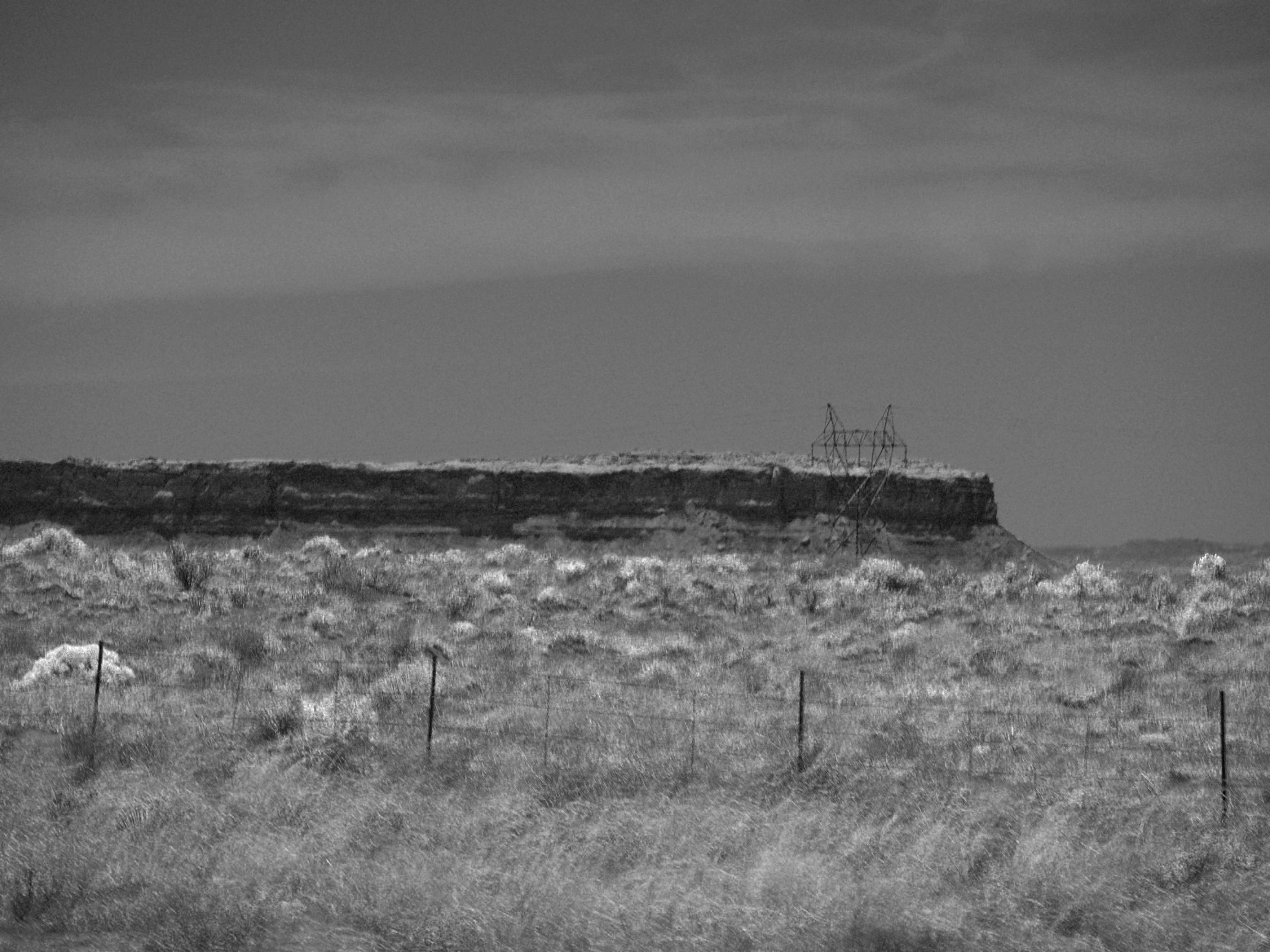
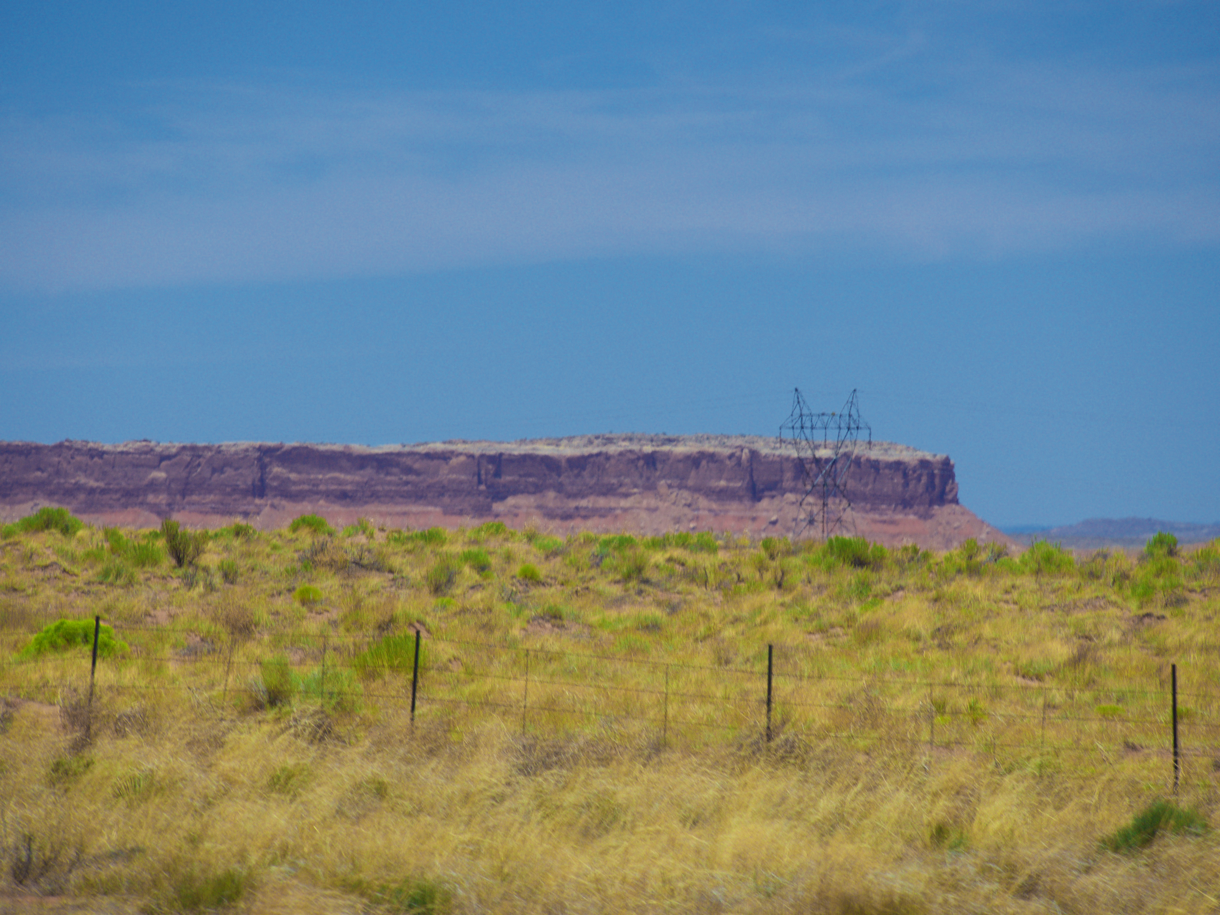
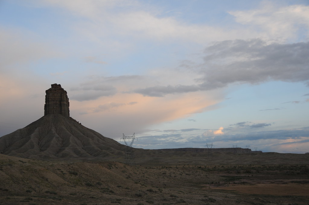
Power lines over desert
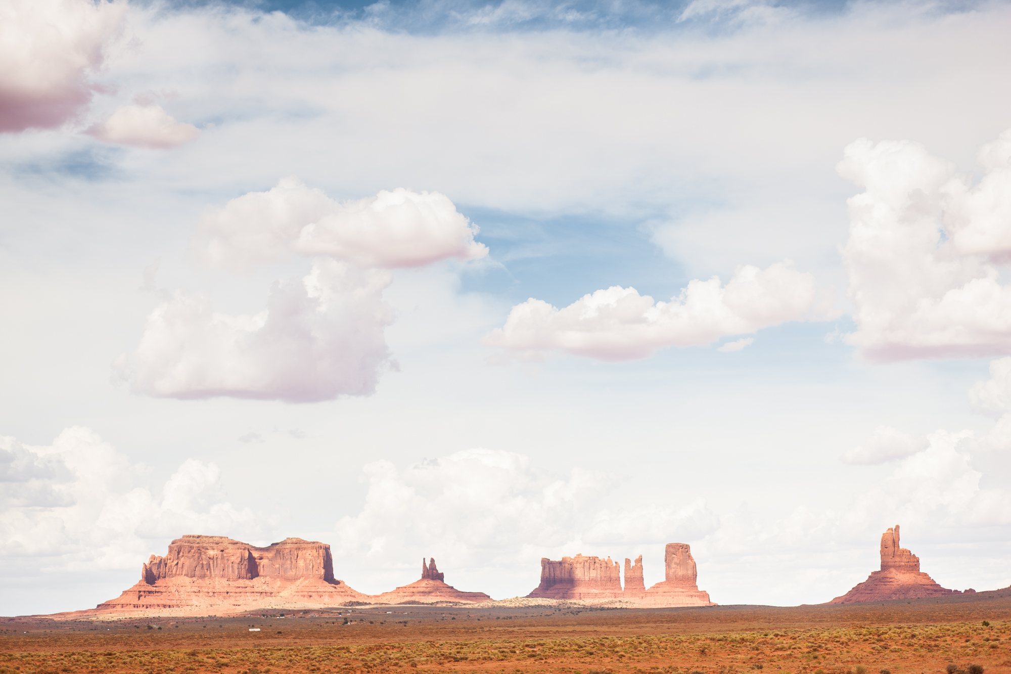
The ochre landscape reflected into the undersides of the clouds, giving them fluffy pink bellies. (at Monument Valley)
Driving through the Navajo Reservation to Colorado at the end of January 2018.
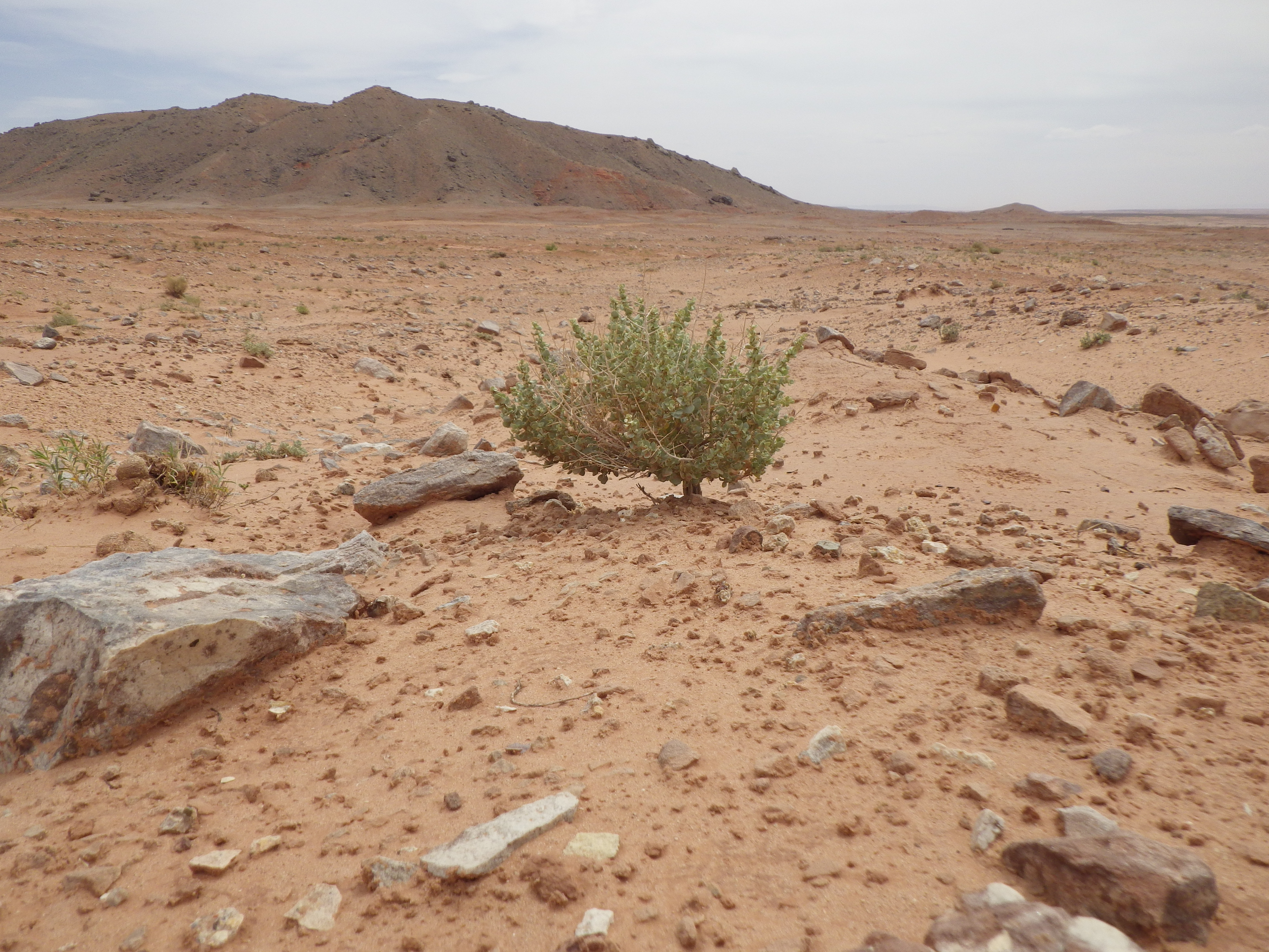
Atriplex confertifolia
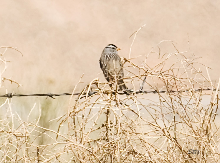
White-crowned Sparrow UT near AZ_3571
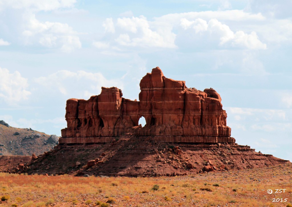
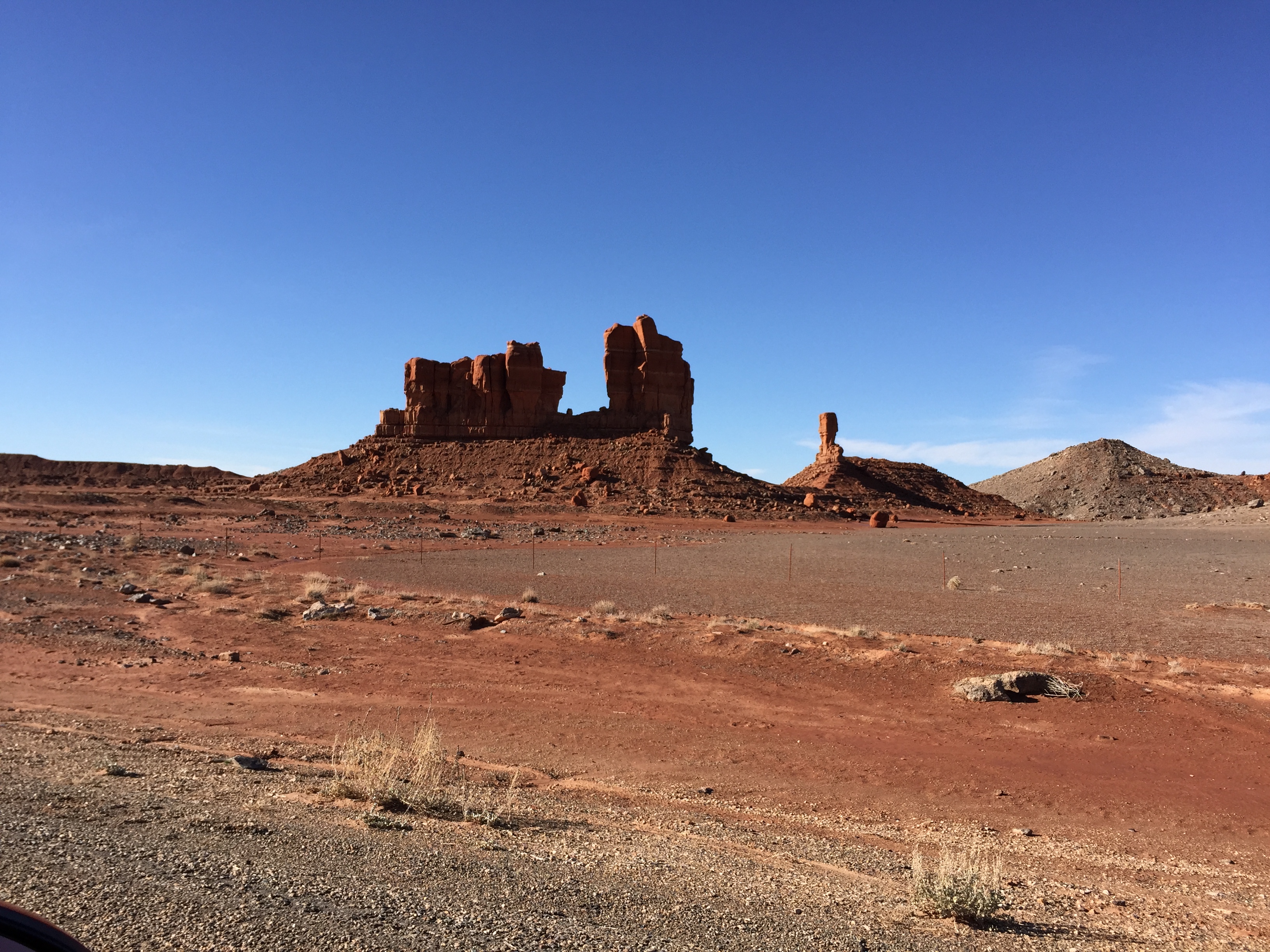
A Gap in the Butte

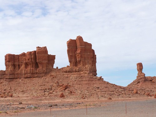
584 Monument Valley D
RCWest 892
Return From the West
Naabeehó Bináhásdzo 20160705
Naabeehó Bináhásdzo 20160705
Naabeehó Bináhásdzo 20160705
Naabeehó Bináhásdzo 20160705
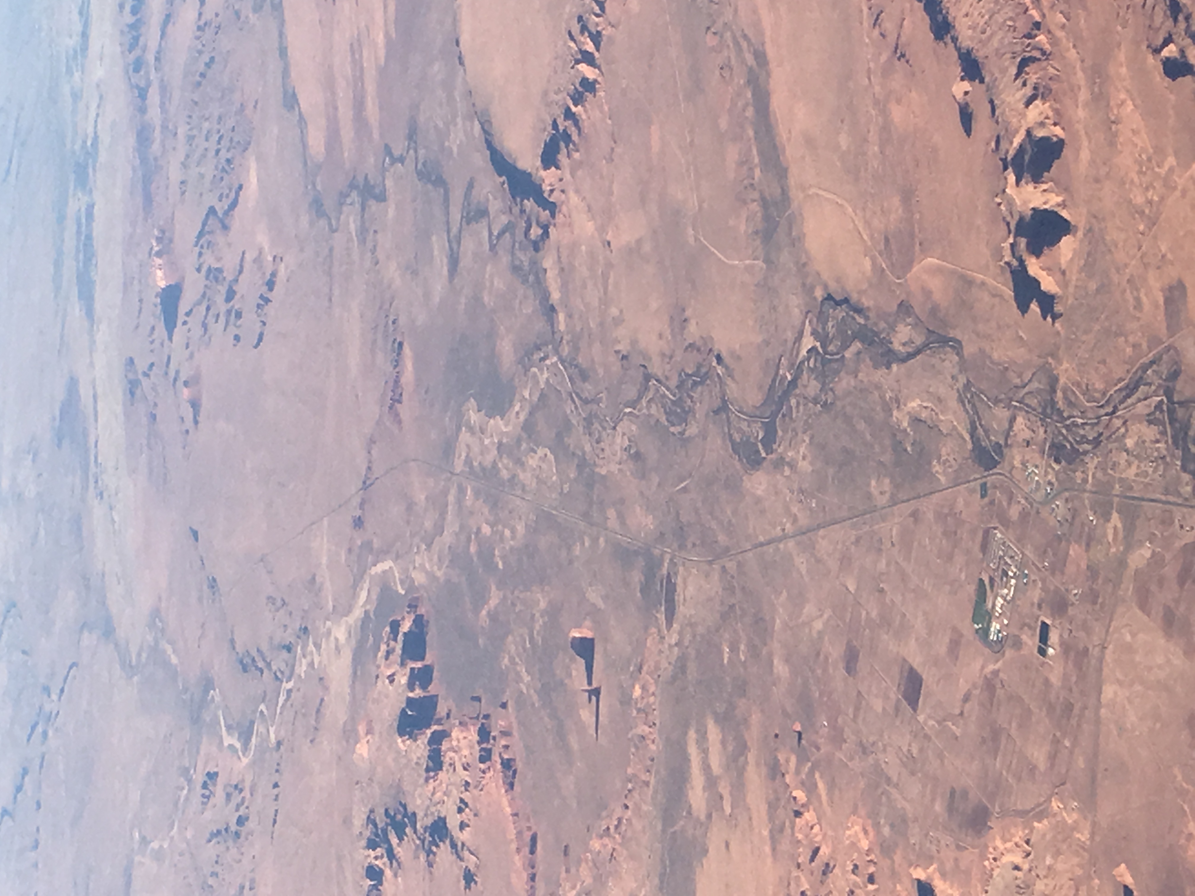
Driving back to Phoenix
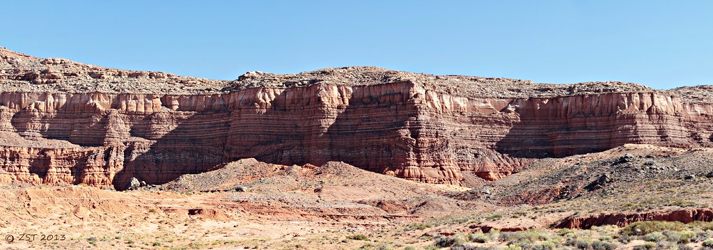
Cliff Colors & Patterns

On the road Again
Northern Arizona
Topographic Map of Mexican Water, AZ, USA
Find elevation by address:

Places near Mexican Water, AZ, USA:
Mexican Water Trading Post
Rock Point
E Main St, Bluff, UT, USA
Bluff
Butler Washington Road
White Mesa
US-, Teec Nos Pos, AZ, USA
Teec Nos Pos
Four Corners Monument
New Mexico 597
White Mesa Mill
Blue Mountain Rv & Trading
355 E 850 S
Blanding
Road G, Cortez, CO, USA
490 County Rd G
Road G, Cortez, CO, USA
6512 County Rd G
Devils Canyon Campground
County Road 10, Pleasant View, CO, USA
Recent Searches:
- Elevation of Corso Fratelli Cairoli, 35, Macerata MC, Italy
- Elevation of Tallevast Rd, Sarasota, FL, USA
- Elevation of 4th St E, Sonoma, CA, USA
- Elevation of Black Hollow Rd, Pennsdale, PA, USA
- Elevation of Oakland Ave, Williamsport, PA, USA
- Elevation of Pedrógão Grande, Portugal
- Elevation of Klee Dr, Martinsburg, WV, USA
- Elevation of Via Roma, Pieranica CR, Italy
- Elevation of Tavkvetili Mountain, Georgia
- Elevation of Hartfords Bluff Cir, Mt Pleasant, SC, USA