Elevation of Meadow Lake Campground, Forest Rd A, New Castle, CO, USA
Location: United States > Colorado > New Castle >
Longitude: -107.54274
Latitude: 39.8170194
Elevation: 2918m / 9573feet
Barometric Pressure: 71KPa
Elevation Map:
Satellite Map:
Related Photos:
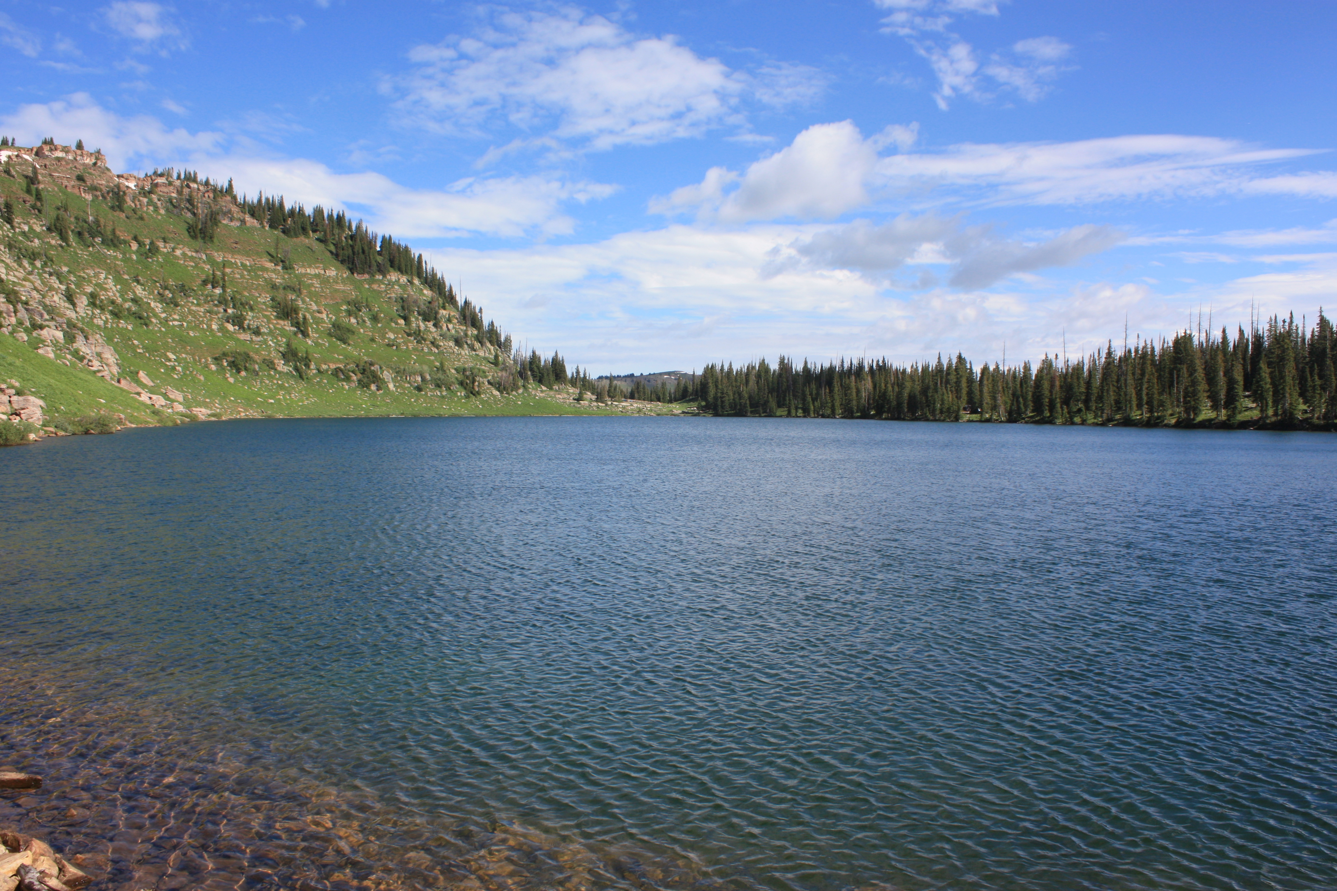
Adams Lake
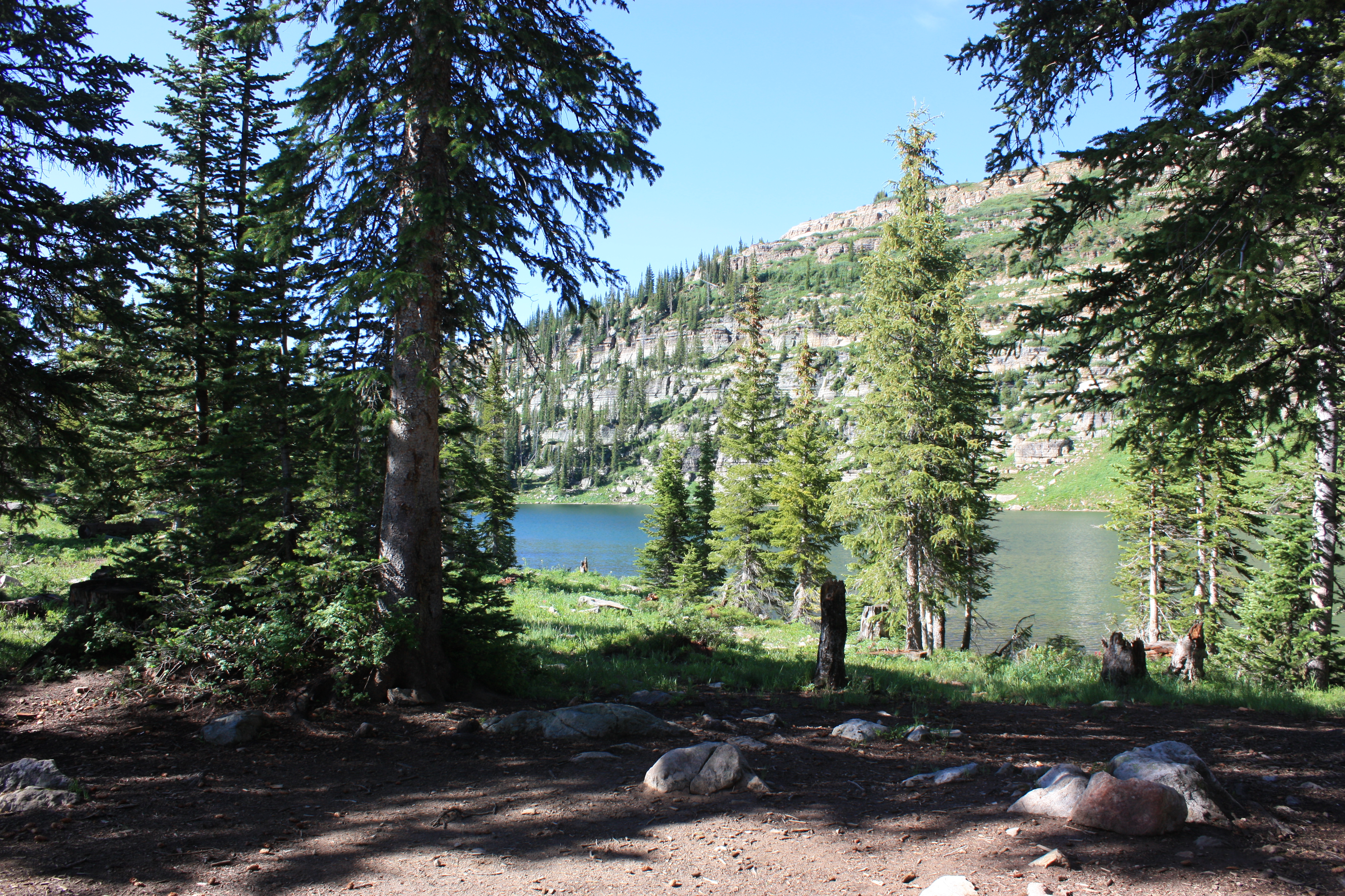
View from our campsite

View from our campsite
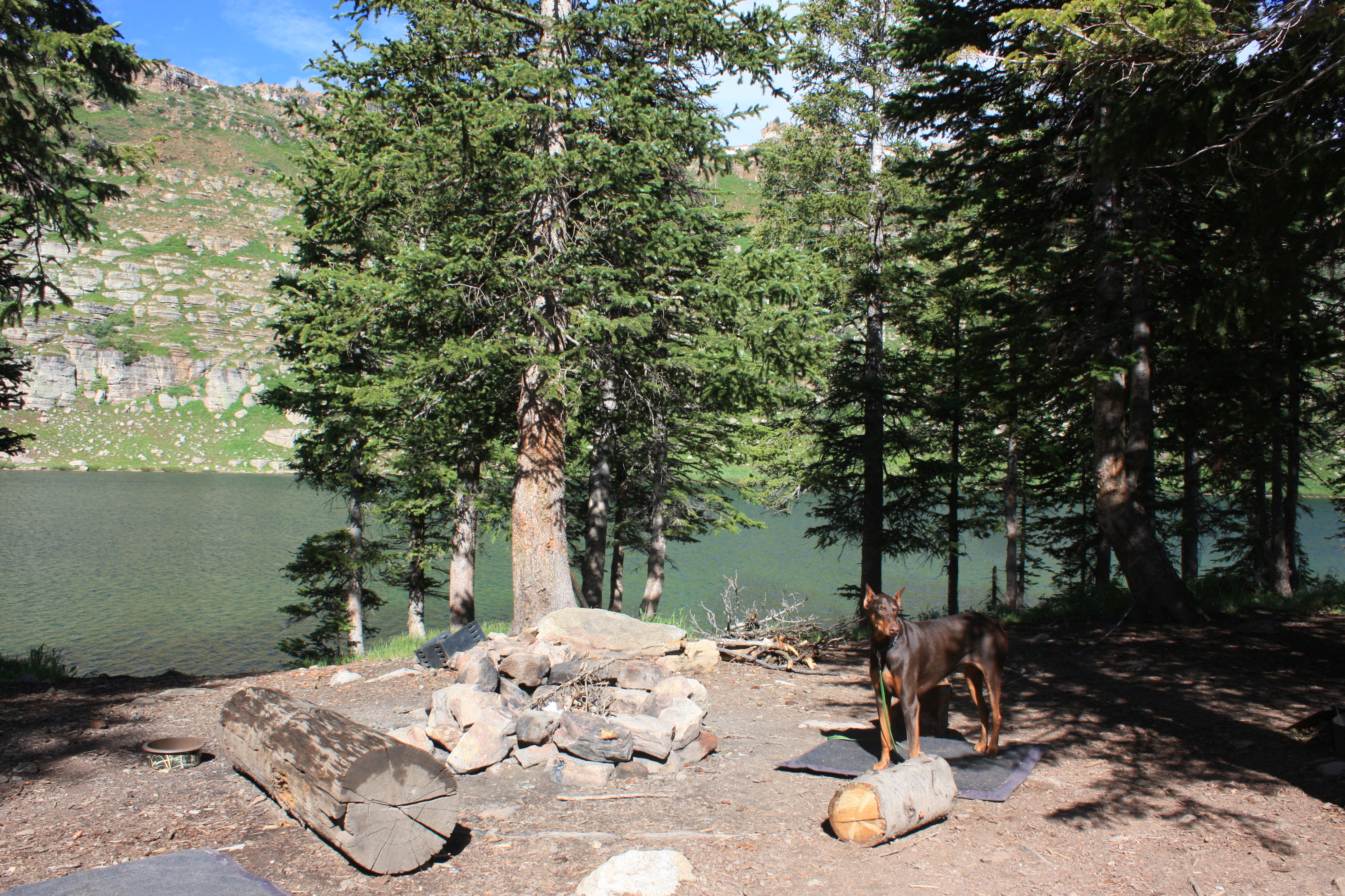
View from our campsite
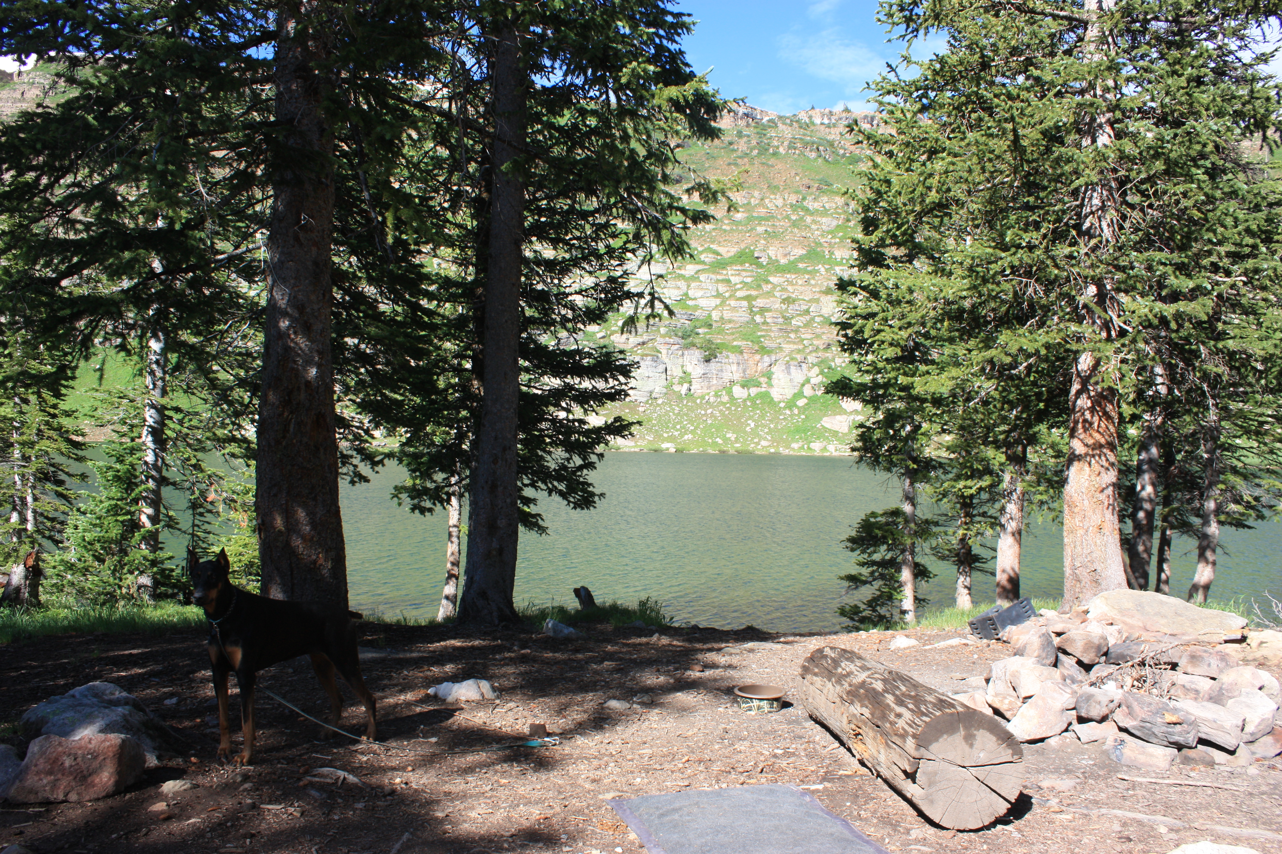
View from our campsite
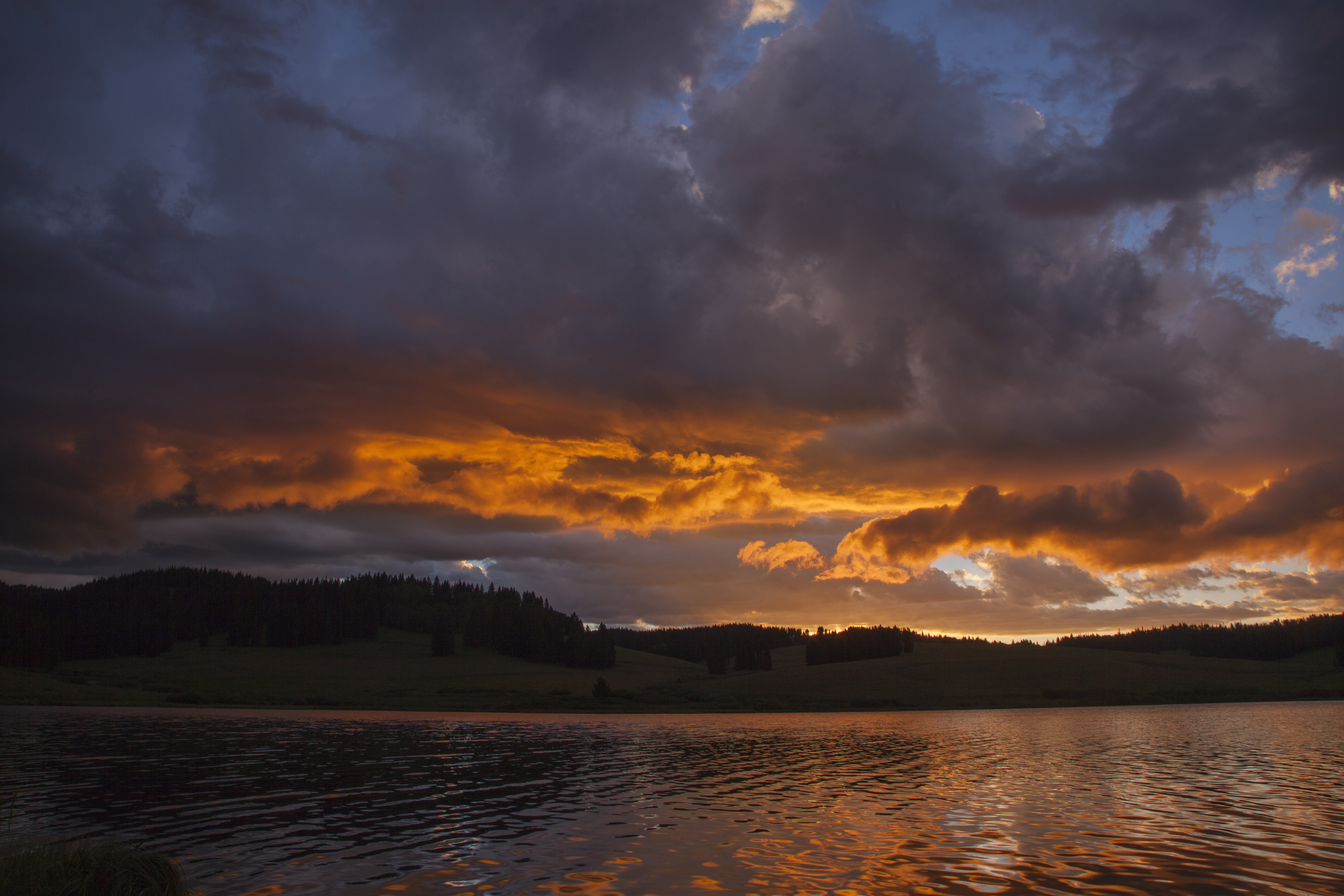
Meadow Lake Dawn
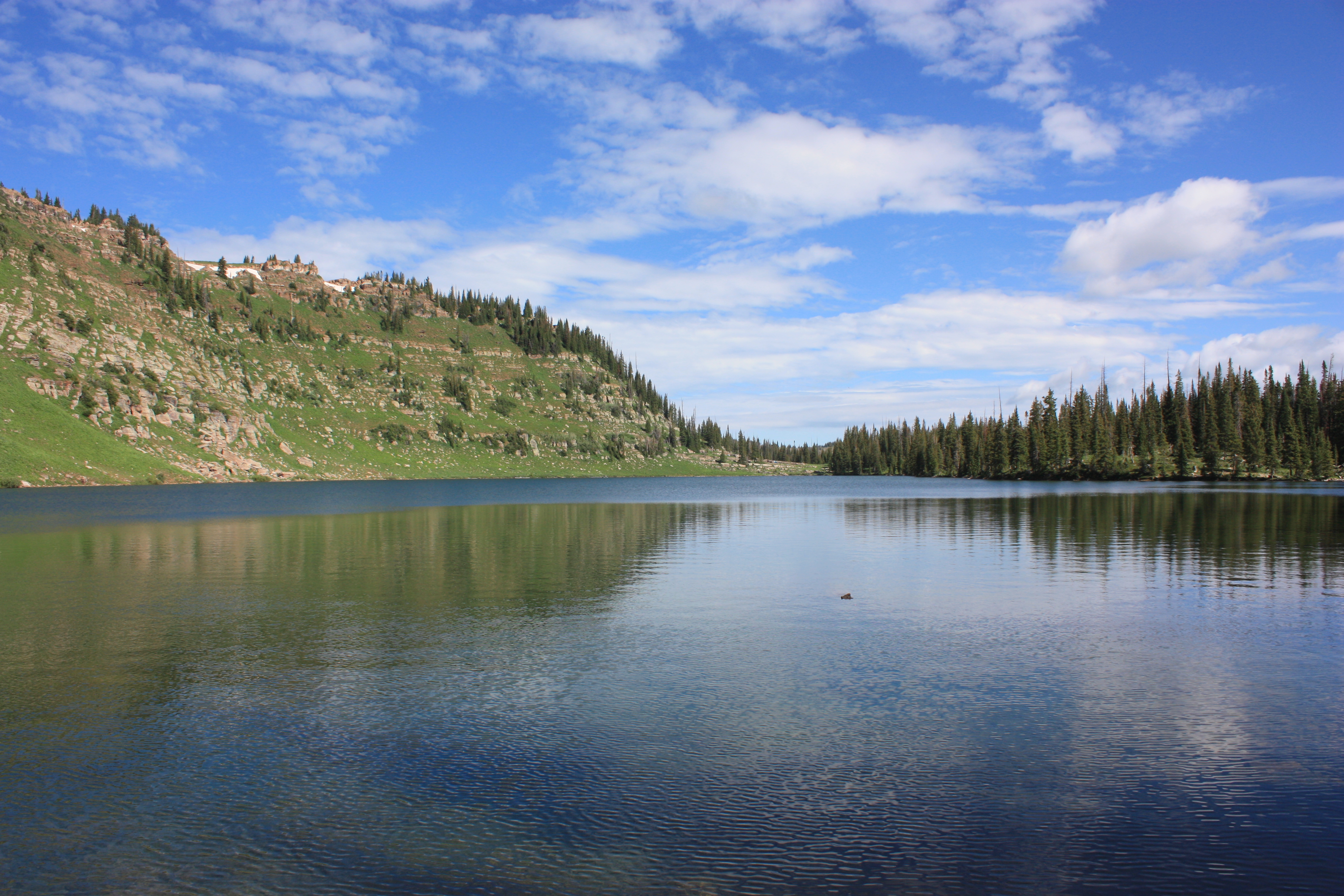
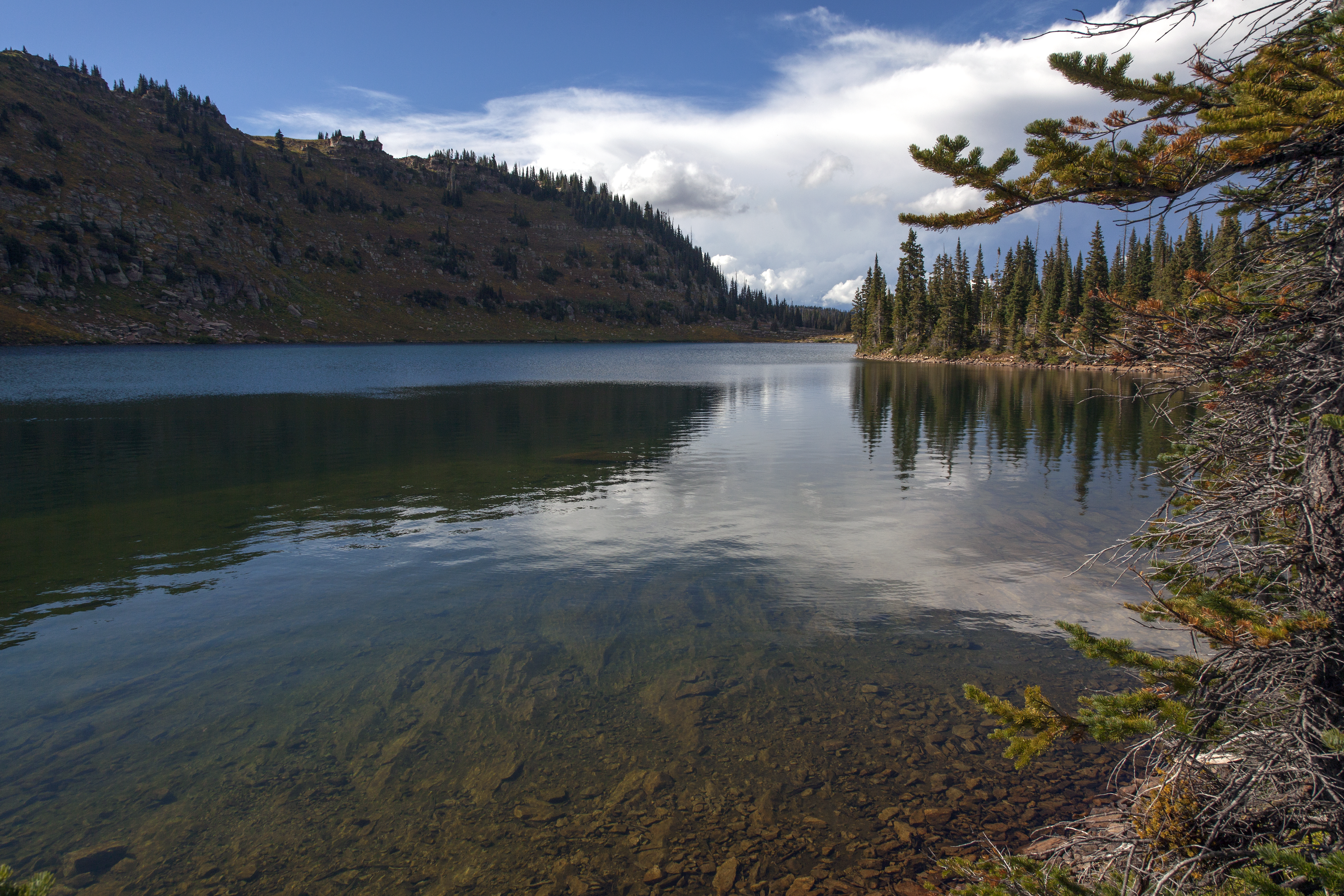
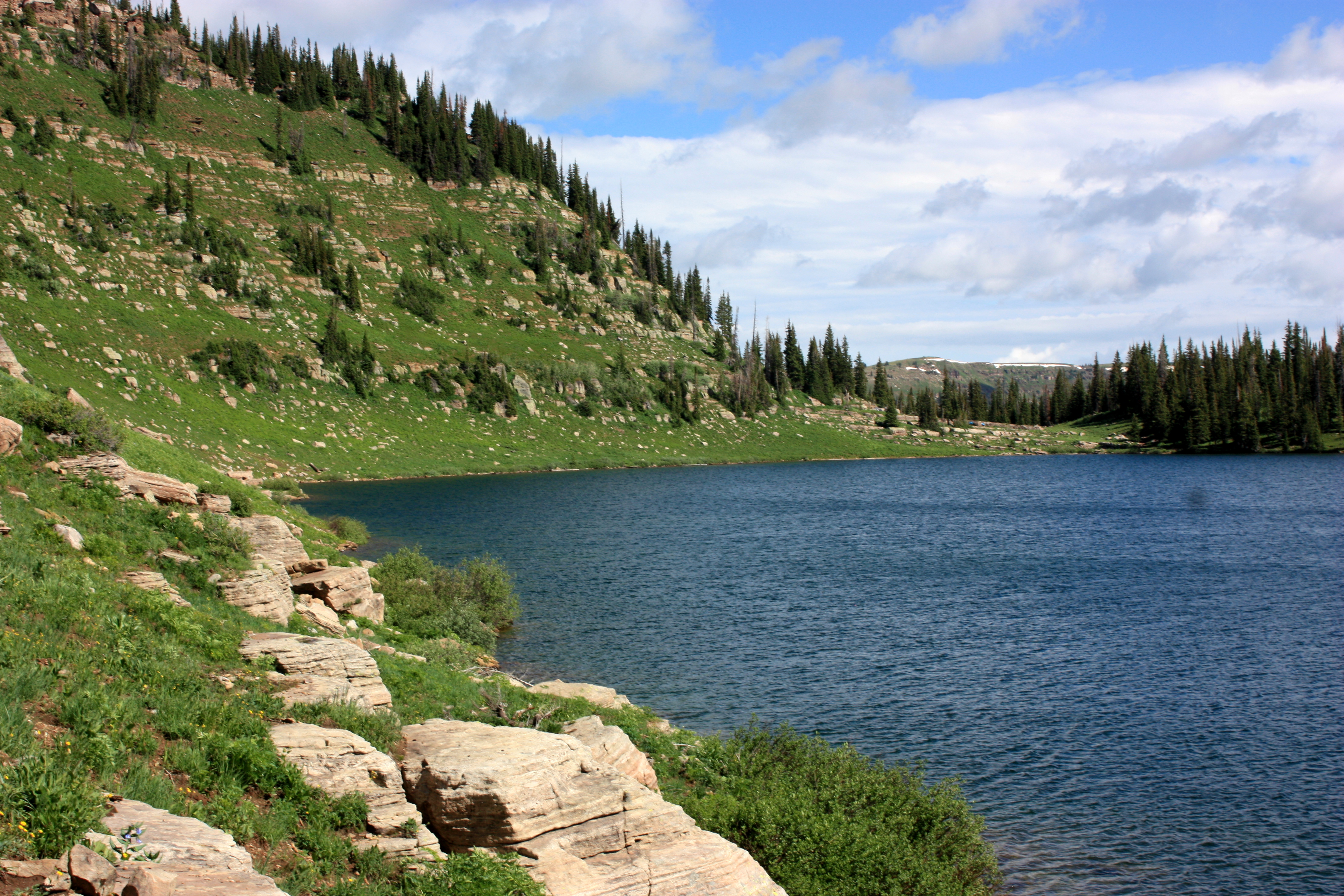
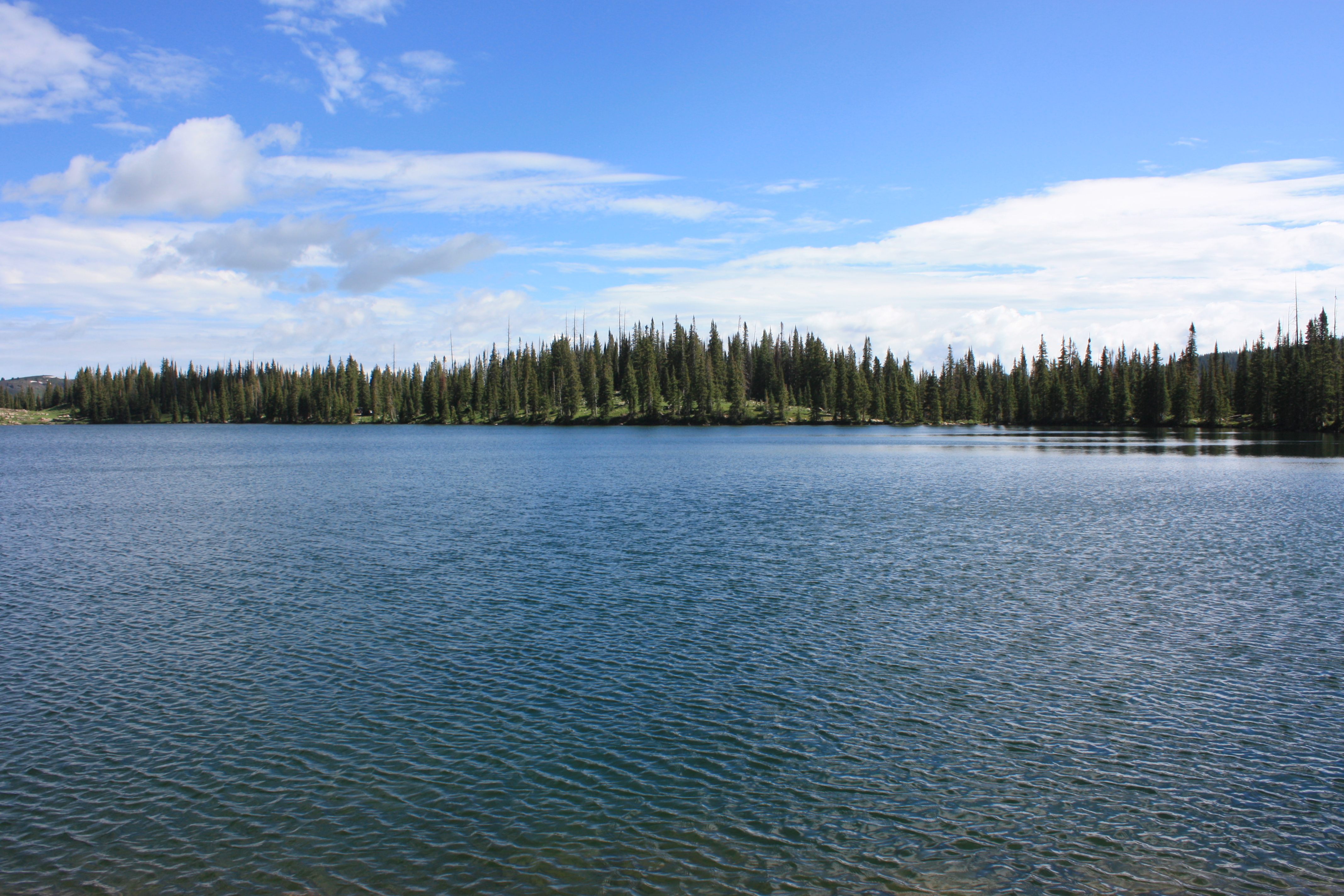
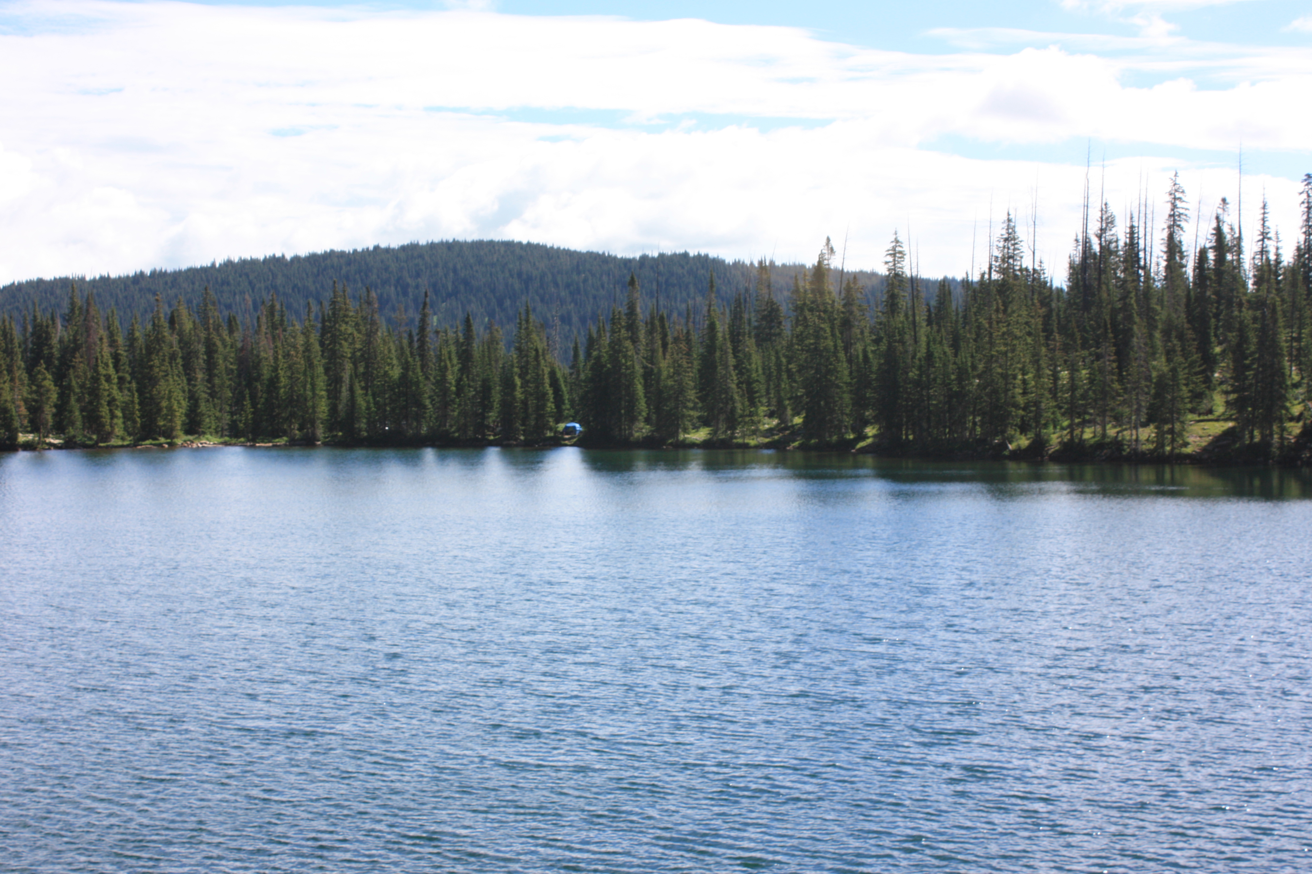
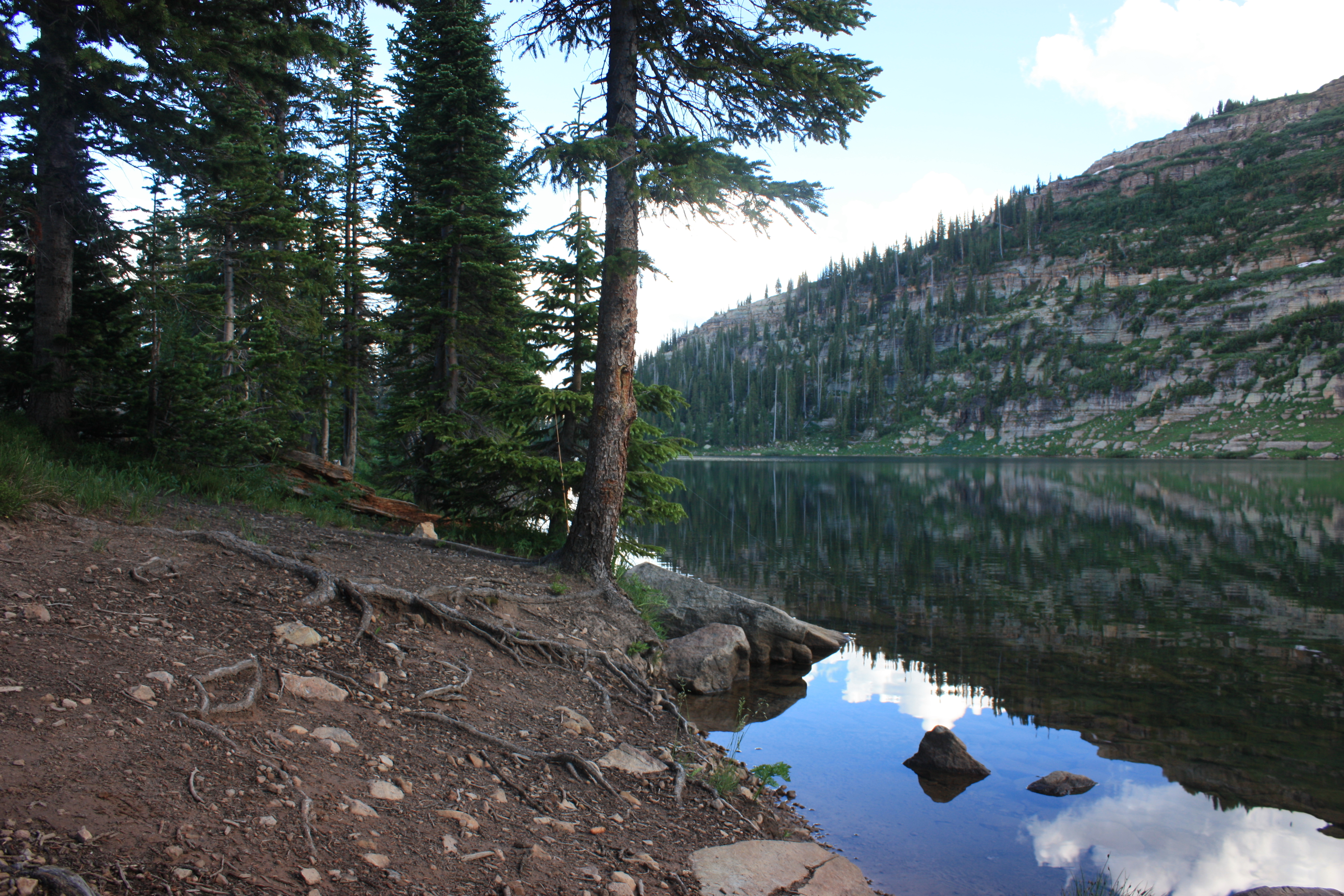
Hiking around the lake
Hiking around the lake
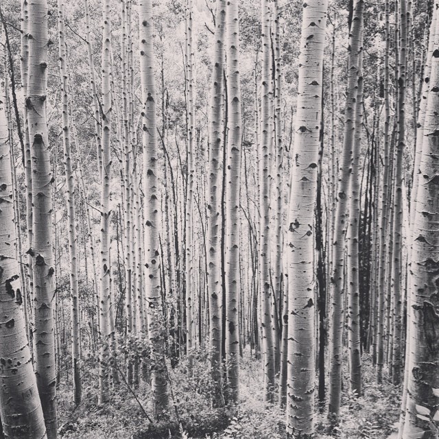
Aspens in Colorado.
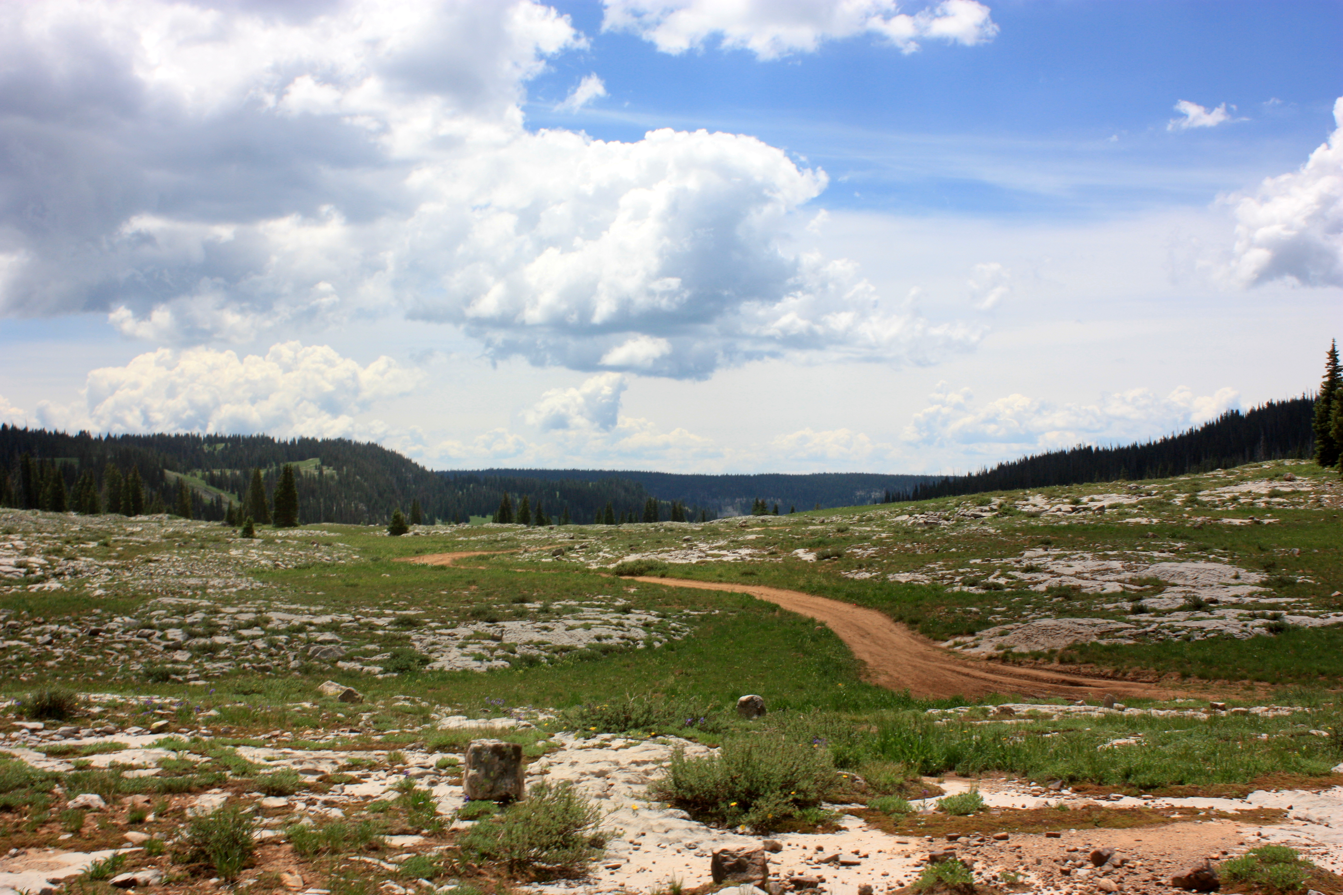
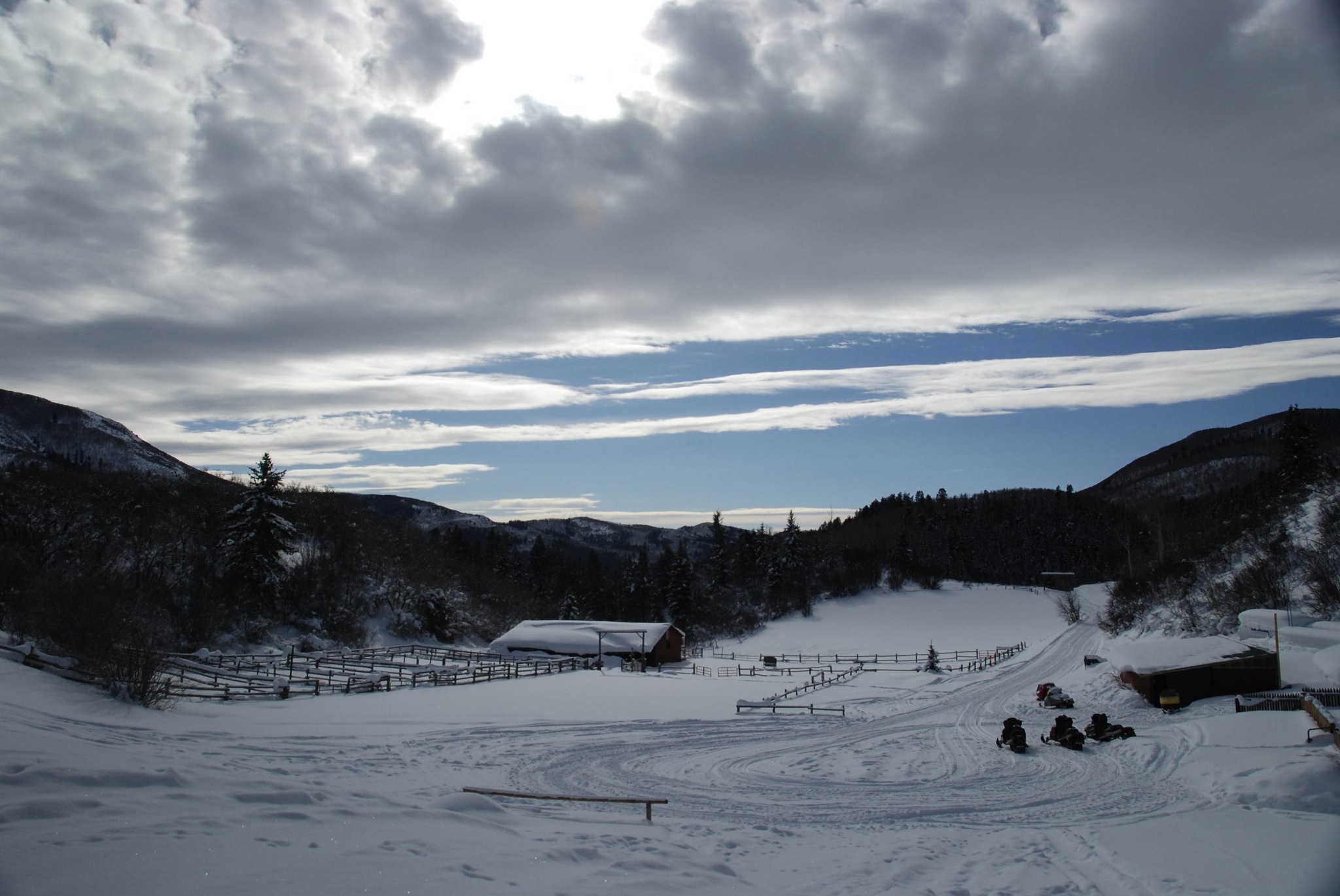
Off Road in Flat Tops
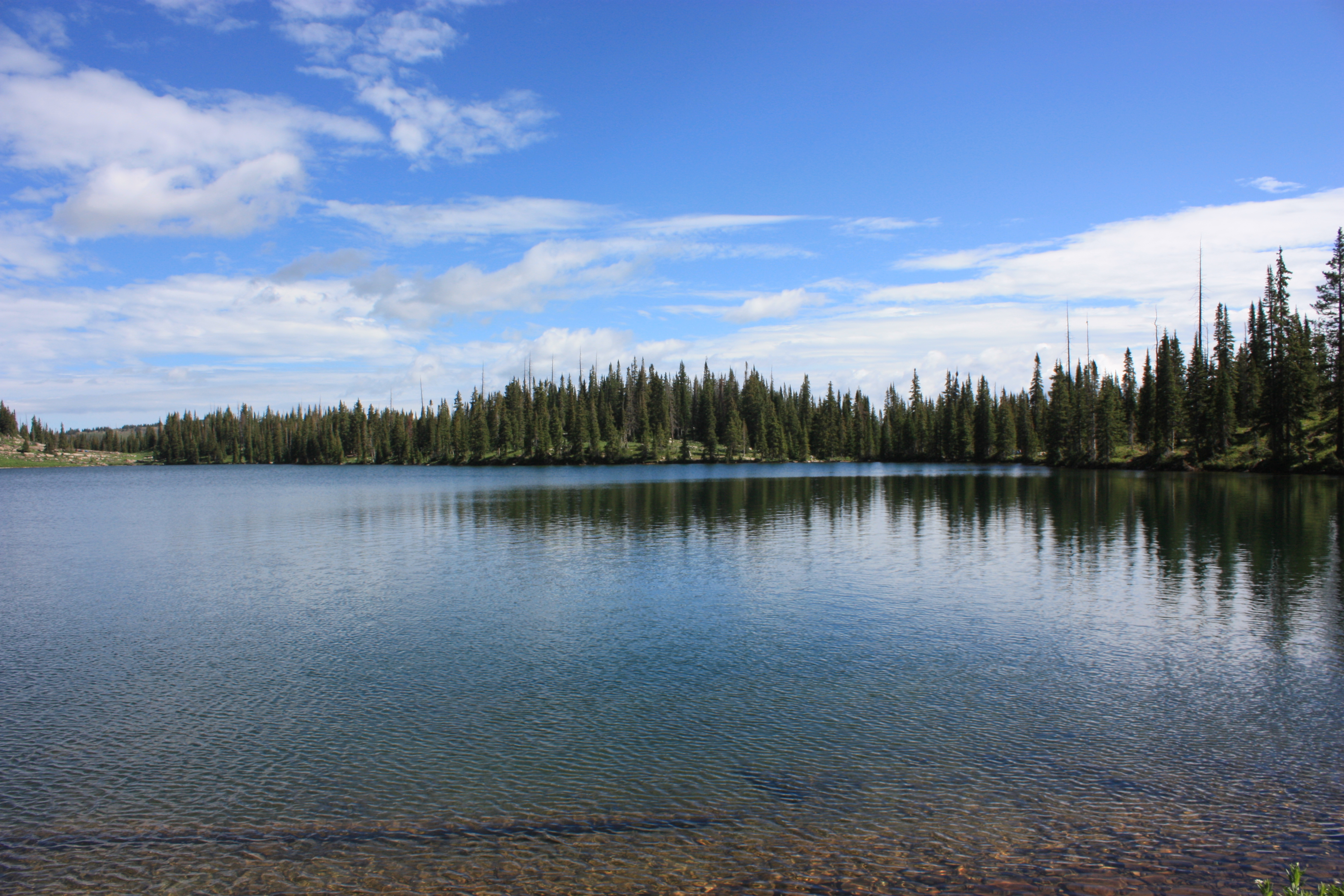
Hiking around the lake
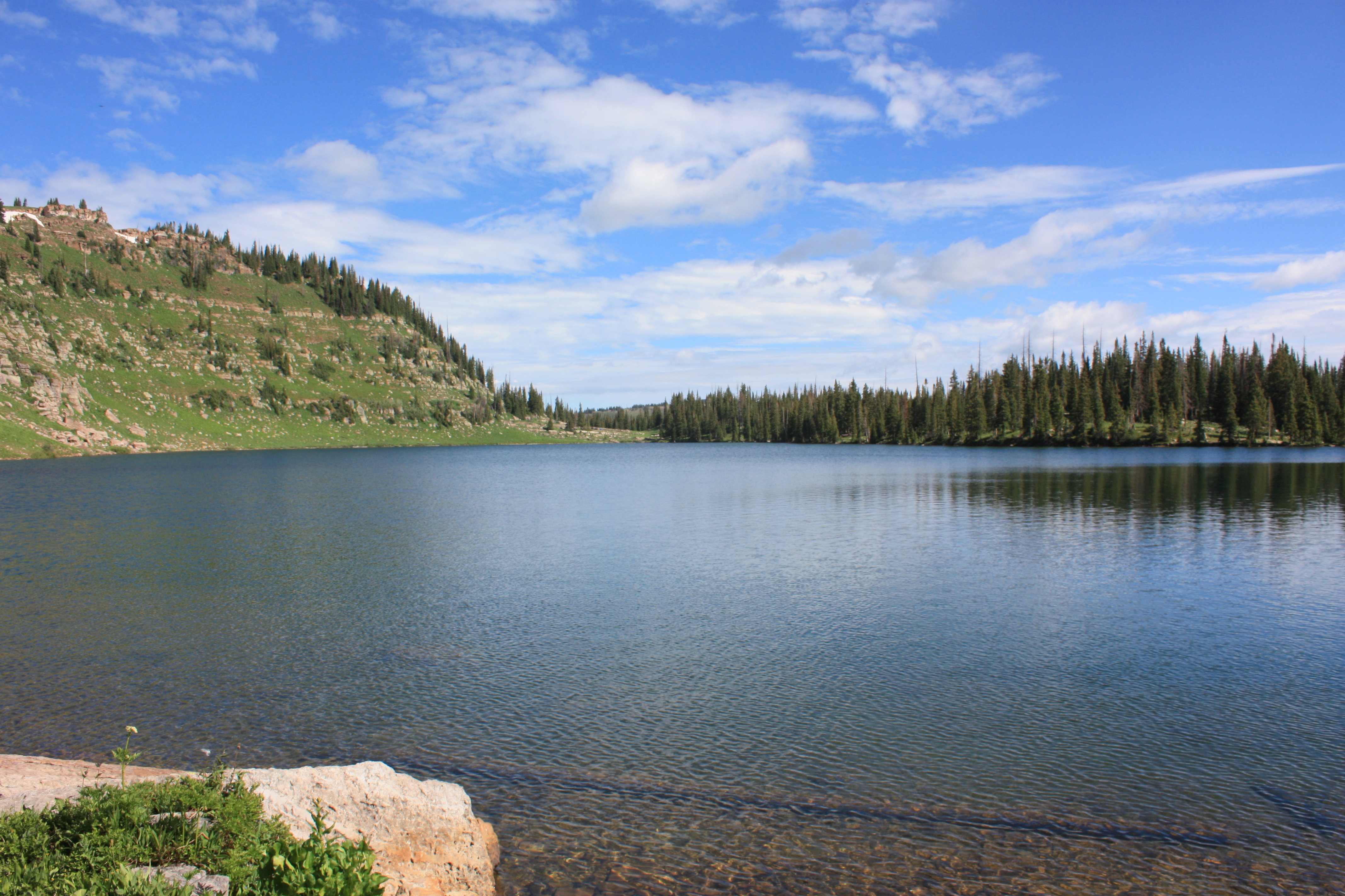
Hiking around the lake
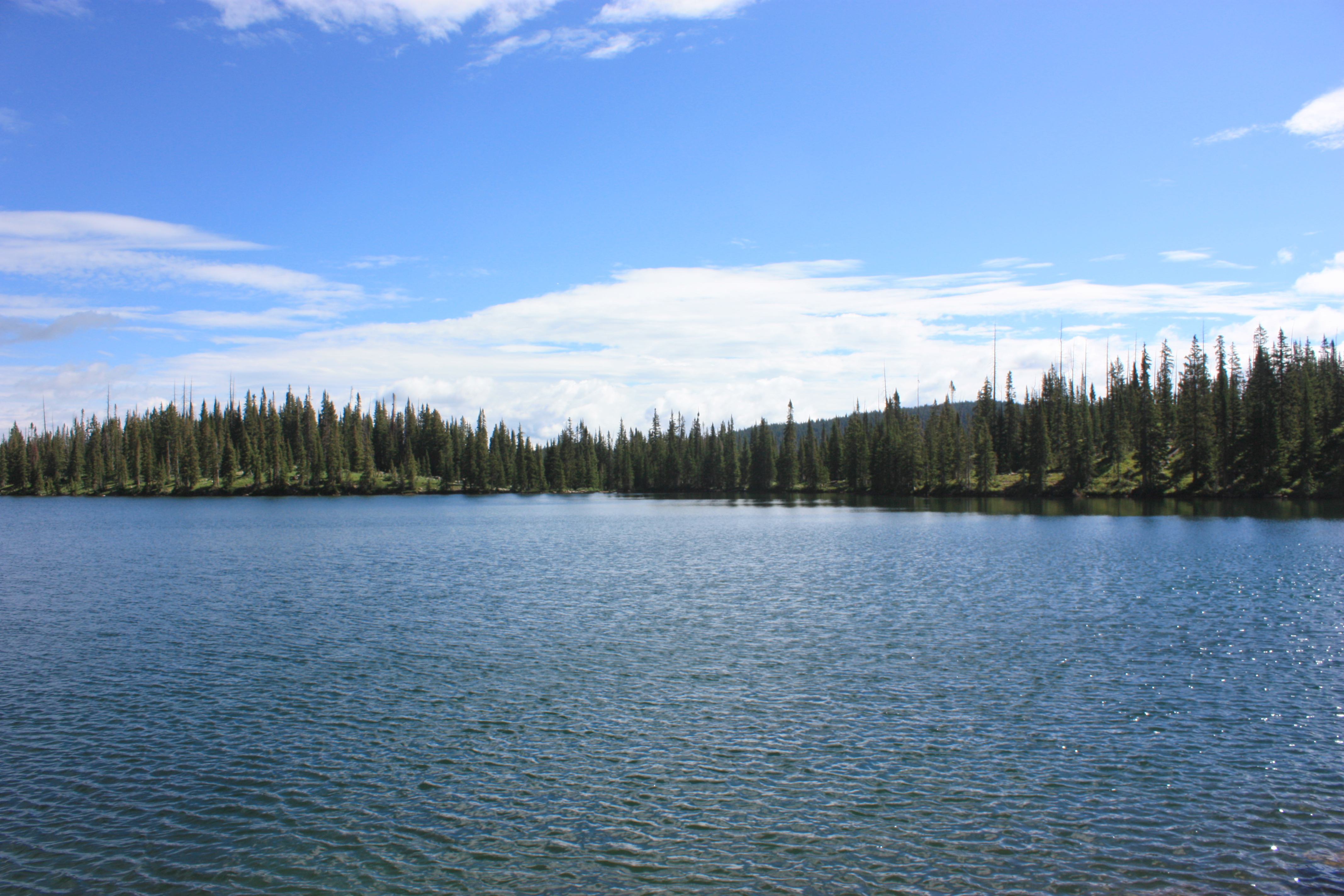
Hiking around the lake
Hiking around the lake
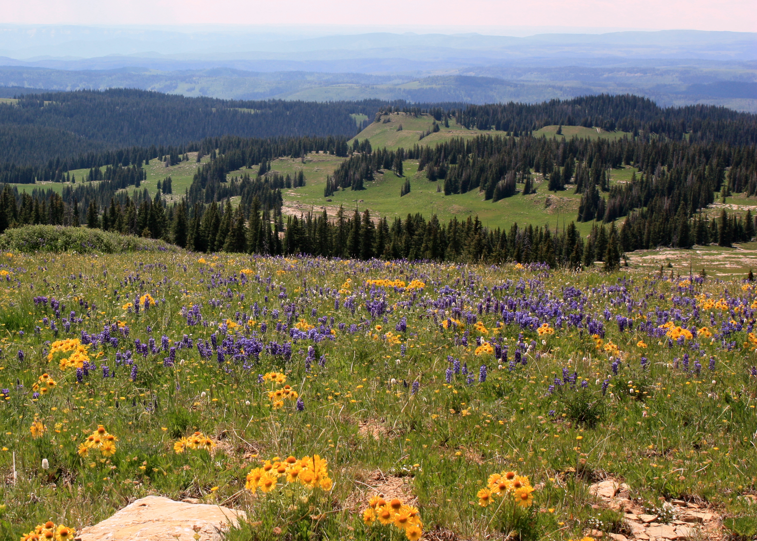
Mountain Wild Flowers
Hiking around the lake
Alpine Sunflower
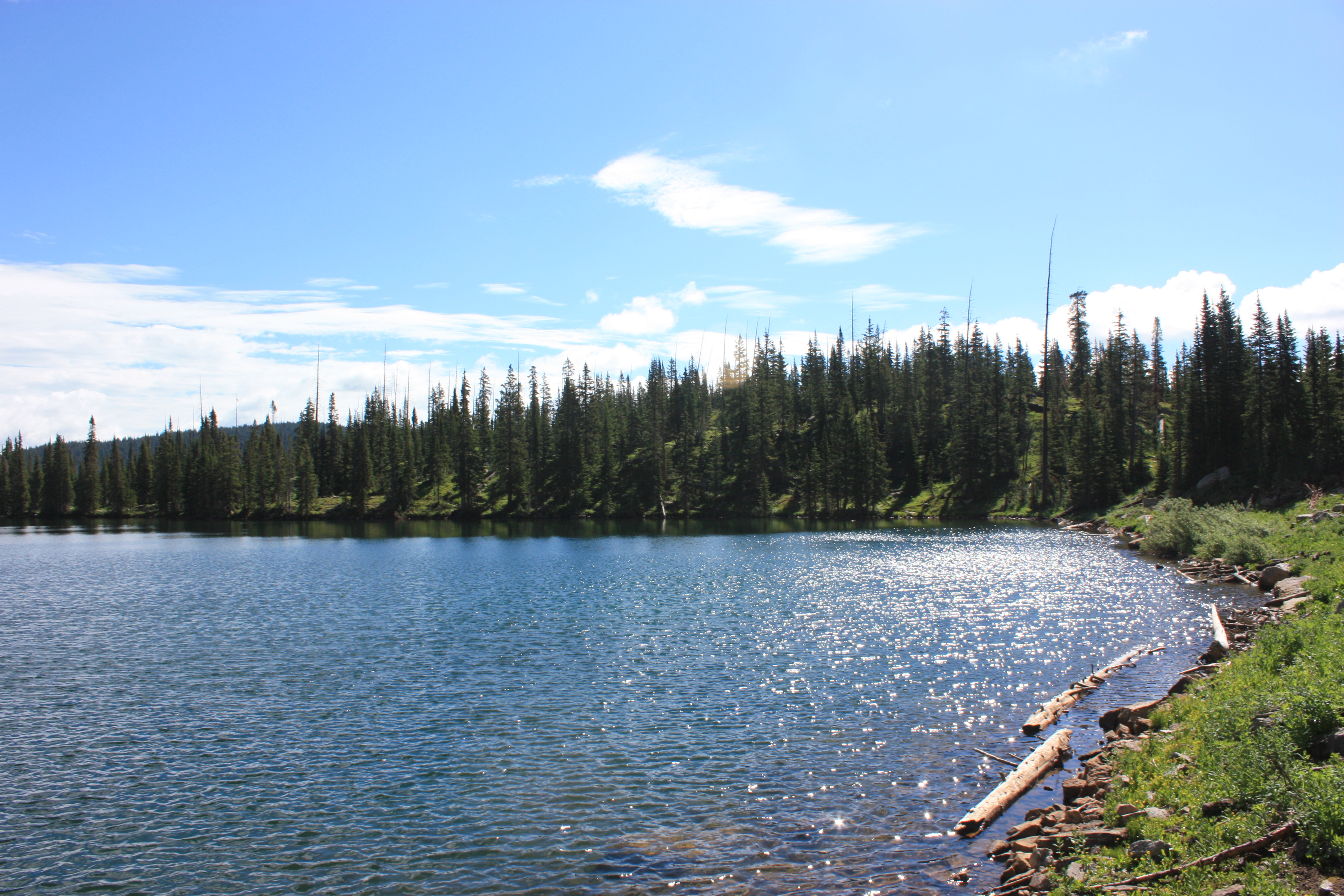
Hiking around the lake
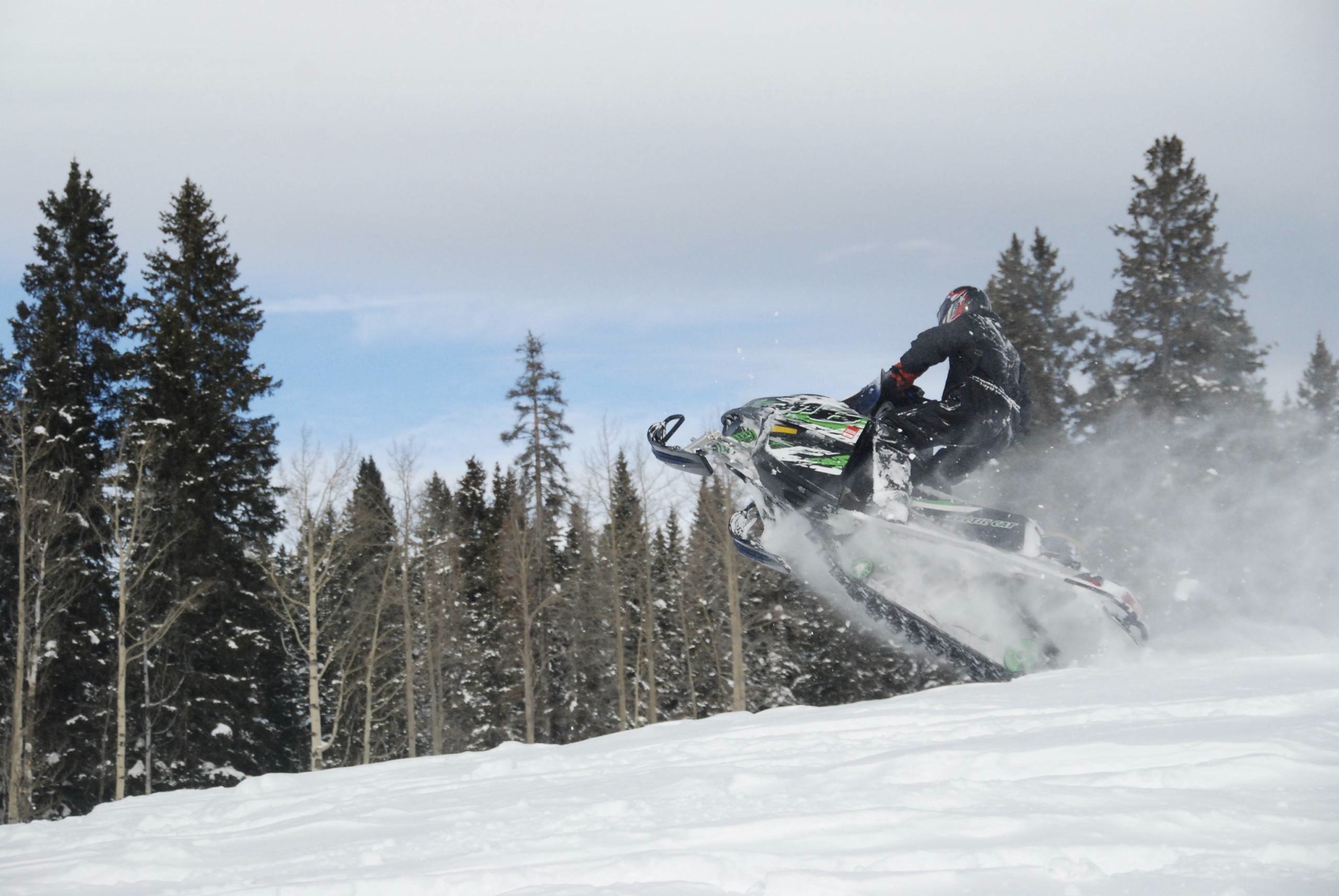
Wiley Jump
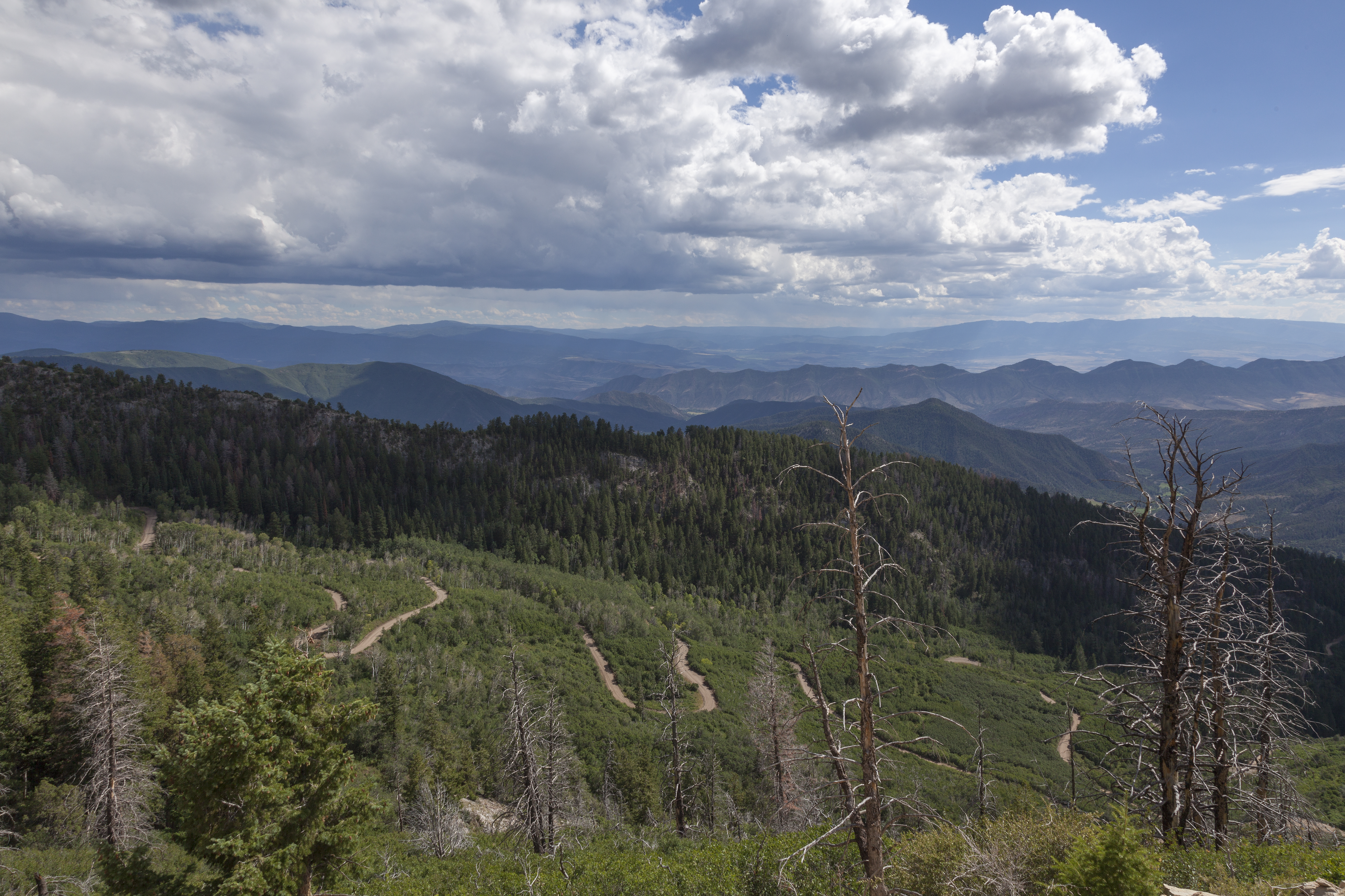
Switchbacks to Clinetop Mesa
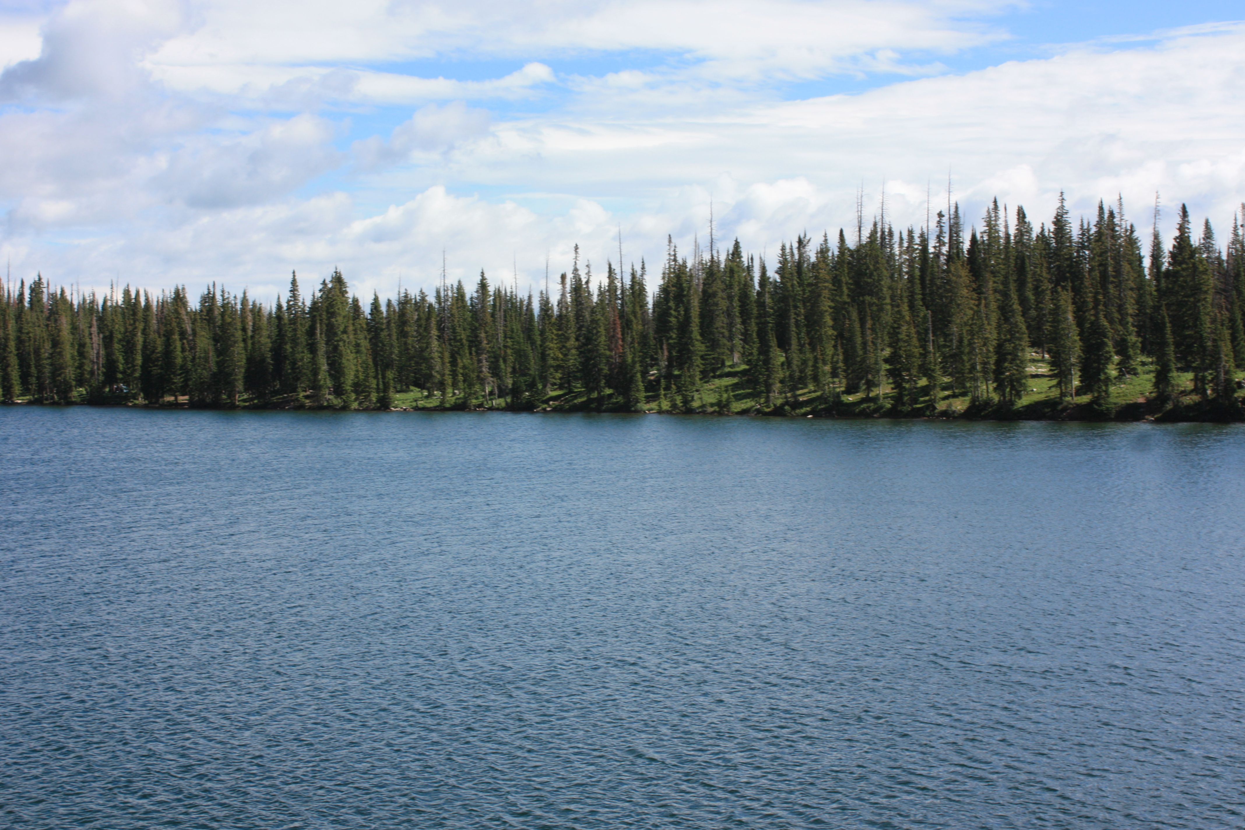
Hiking around the lake
Hiking around the lake
Coulter Ranch
Our fishing spot
Topographic Map of Meadow Lake Campground, Forest Rd A, New Castle, CO, USA
Find elevation by address:

Places near Meadow Lake Campground, Forest Rd A, New Castle, CO, USA:
South Fork White River
13327 New Castle Buford Rd
Blair Mountain
Seven Lakes Lodge
Camel Peak
County Rd 8, Meeker, CO, USA
Rifle Falls State Park
917 Co Rd 241
2655 Co Rd 12
3194 Co Rd 226
Lakota Canyon Golf Club
12 Antler Loop
151 Current Dr
869 Ute Cir
310 Maroon Ct
62 Foxwood Ln
136 S Wildhorse Dr
55 Redstone Dr
Castle Valley Boulevard
Big Marvine Peak
Recent Searches:
- Elevation of Corso Fratelli Cairoli, 35, Macerata MC, Italy
- Elevation of Tallevast Rd, Sarasota, FL, USA
- Elevation of 4th St E, Sonoma, CA, USA
- Elevation of Black Hollow Rd, Pennsdale, PA, USA
- Elevation of Oakland Ave, Williamsport, PA, USA
- Elevation of Pedrógão Grande, Portugal
- Elevation of Klee Dr, Martinsburg, WV, USA
- Elevation of Via Roma, Pieranica CR, Italy
- Elevation of Tavkvetili Mountain, Georgia
- Elevation of Hartfords Bluff Cir, Mt Pleasant, SC, USA