Elevation of Lakota Canyon Golf Club, Clubhouse Dr, New Castle, CO, USA
Location: United States > Colorado > New Castle >
Longitude: -107.51856
Latitude: 39.586433
Elevation: -10000m / -32808feet
Barometric Pressure: 295KPa
Elevation Map:
Satellite Map:
Related Photos:

South Cañon Bridge, Glenwood Springs, Colorado

#amazing bedroom window view.

on-the-road-colorado

What a morning view! #colorado #glenwoodsprings #terrellfamilyvacation

Proud To Be In The Parade

The views were unbelievable driving through Colorado.
View from Storm King Mountain Trail

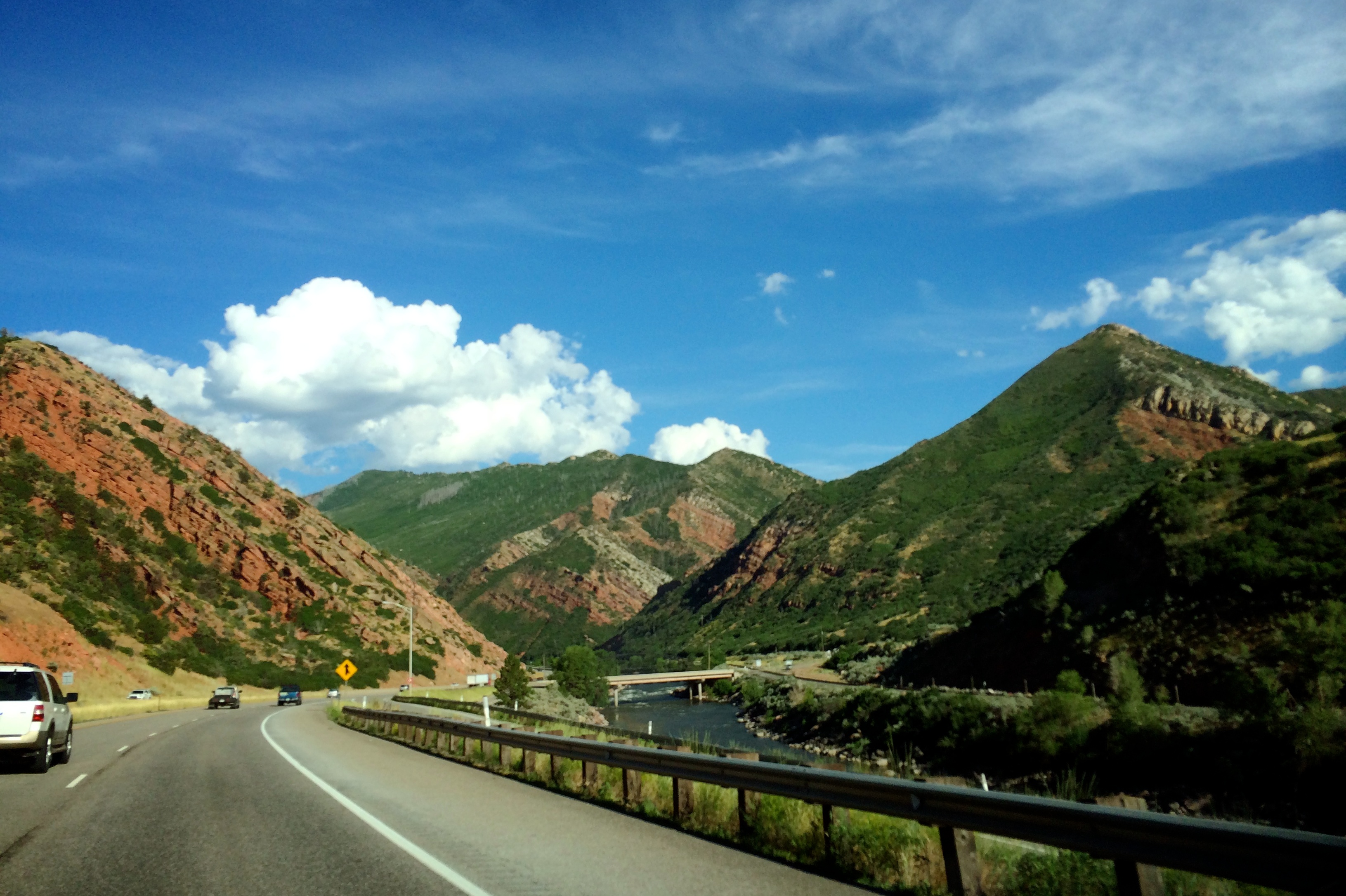
View from the road near Glenwood Springs

Back of the New Blizzard Interent Building

Glenwood Springs, CO

I Want To Be Engulfed In Nothing

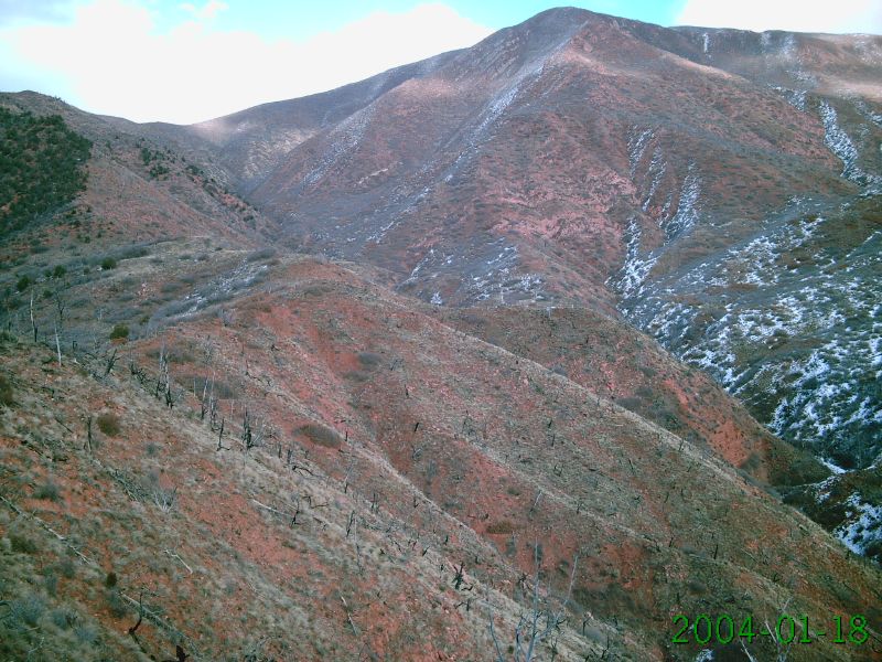
Red Mountains, Blue Sky, Glenwood Springs, Colorado
Idling in Glenwood

downloadfile-3

They're red!

Fresh cut summer hay near Silt, Colorado.

2018-081486

I-70 west of Silt Colorado

Fog on the Field in Silt, Colorado.

Colorado - September 2015

Colorado River Crossing

Goodbye Glenwood Springs. Wish I'd gotten a chance to spend more time in you.

Interstate 70 rest area

#hogbacks

Glenwood Springs
Coming in to Glenwood Springs

Rocky Mountains, Colorado. 2012

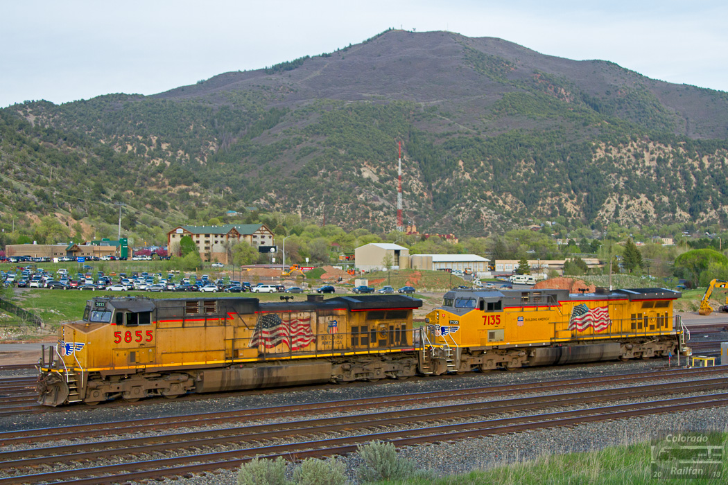
UP LDF52 16 What Was Thought To Be The Last

Dirty windshield
Topographic Map of Lakota Canyon Golf Club, Clubhouse Dr, New Castle, CO, USA
Find elevation by address:

Places near Lakota Canyon Golf Club, Clubhouse Dr, New Castle, CO, USA:
12 Antler Loop
869 Ute Cir
62 Foxwood Ln
136 S Wildhorse Dr
150 Lakota Dr
55 Redstone Dr
Castle Valley Boulevard
310 Maroon Ct
Faas Ranch Road
151 Current Dr
788 Castle Valley Blvd
6560 Co Rd 335
New Castle
917 Co Rd 241
Chacra
45755 Us-6
US-6, Glenwood Springs, CO, USA
Bed & Breakfast On Mitchell Creek
Glenwood Springs Golf Club
Hwy 6, Glenwood Springs, CO, USA
Recent Searches:
- Elevation of Corso Fratelli Cairoli, 35, Macerata MC, Italy
- Elevation of Tallevast Rd, Sarasota, FL, USA
- Elevation of 4th St E, Sonoma, CA, USA
- Elevation of Black Hollow Rd, Pennsdale, PA, USA
- Elevation of Oakland Ave, Williamsport, PA, USA
- Elevation of Pedrógão Grande, Portugal
- Elevation of Klee Dr, Martinsburg, WV, USA
- Elevation of Via Roma, Pieranica CR, Italy
- Elevation of Tavkvetili Mountain, Georgia
- Elevation of Hartfords Bluff Cir, Mt Pleasant, SC, USA