Elevation of Rifle Falls State Park, Highway, Rifle, CO, USA
Location: United States > Colorado > Garfield County > Rifle >
Longitude: -107.69922
Latitude: 39.6742208
Elevation: 1983m / 6506feet
Barometric Pressure: 80KPa
Elevation Map:
Satellite Map:
Related Photos:

Another view of the Rockies

Top of the Rifle

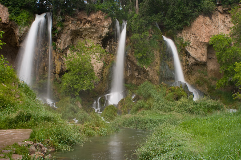
Rifle Falls

Roan Plateau (wide)

Rifle Falls - Side View

Splash Detail Wider View
From the Bridge

rear view mirror

waterfall wonder

on-the-road-colorado

Rifle Falls 1

Rifle Falls 3

The Falls

Rifle Gap Reservoir

Rifle Falls

Rifle Gap Reservoir

Coal Composite

Rifle Gap Sediments

Rifle Falls Colorado State Park

Rifle Falls

Channel Base

Rifle Gap State Park- Garfield County CO (3)

Triple Falls

Rifle Falls National Park

Your Heritage Is Showing

Rifle Falls

Rifle Falls - Rifle, CO

Switchbacks to Clinetop Mesa
Topographic Map of Rifle Falls State Park, Highway, Rifle, CO, USA
Find elevation by address:

Places near Rifle Falls State Park, Highway, Rifle, CO, USA:
3194 Co Rd 226
Rifle Gap State Park
Garfield County
2486 Odin Dr
1171 Co Rd 259
13327 New Castle Buford Rd
Asgard Subdivision Creek
County Road 233
362 Panoramic Dr
1423 Rimrock Dr
Silt
N 7th St, Silt, CO, USA
1116 Mineota Dr
580 E 7th St
506 Chair Bar Rd
917 Co Rd 241
Rifle
151 Current Dr
New Castle
310 Maroon Ct
Recent Searches:
- Elevation of Corso Fratelli Cairoli, 35, Macerata MC, Italy
- Elevation of Tallevast Rd, Sarasota, FL, USA
- Elevation of 4th St E, Sonoma, CA, USA
- Elevation of Black Hollow Rd, Pennsdale, PA, USA
- Elevation of Oakland Ave, Williamsport, PA, USA
- Elevation of Pedrógão Grande, Portugal
- Elevation of Klee Dr, Martinsburg, WV, USA
- Elevation of Via Roma, Pieranica CR, Italy
- Elevation of Tavkvetili Mountain, Georgia
- Elevation of Hartfords Bluff Cir, Mt Pleasant, SC, USA