Elevation of Mattole Road, Mattole Rd, California, USA
Location: United States > California > Humboldt County > Ferndale >
Longitude: -124.23653
Latitude: 40.308543
Elevation: 33m / 108feet
Barometric Pressure: 101KPa
Elevation Map:
Satellite Map:
Related Photos:
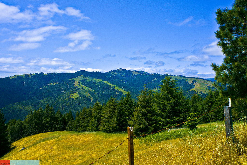
View of the King Range from Mattole Road, Humboldt County, California
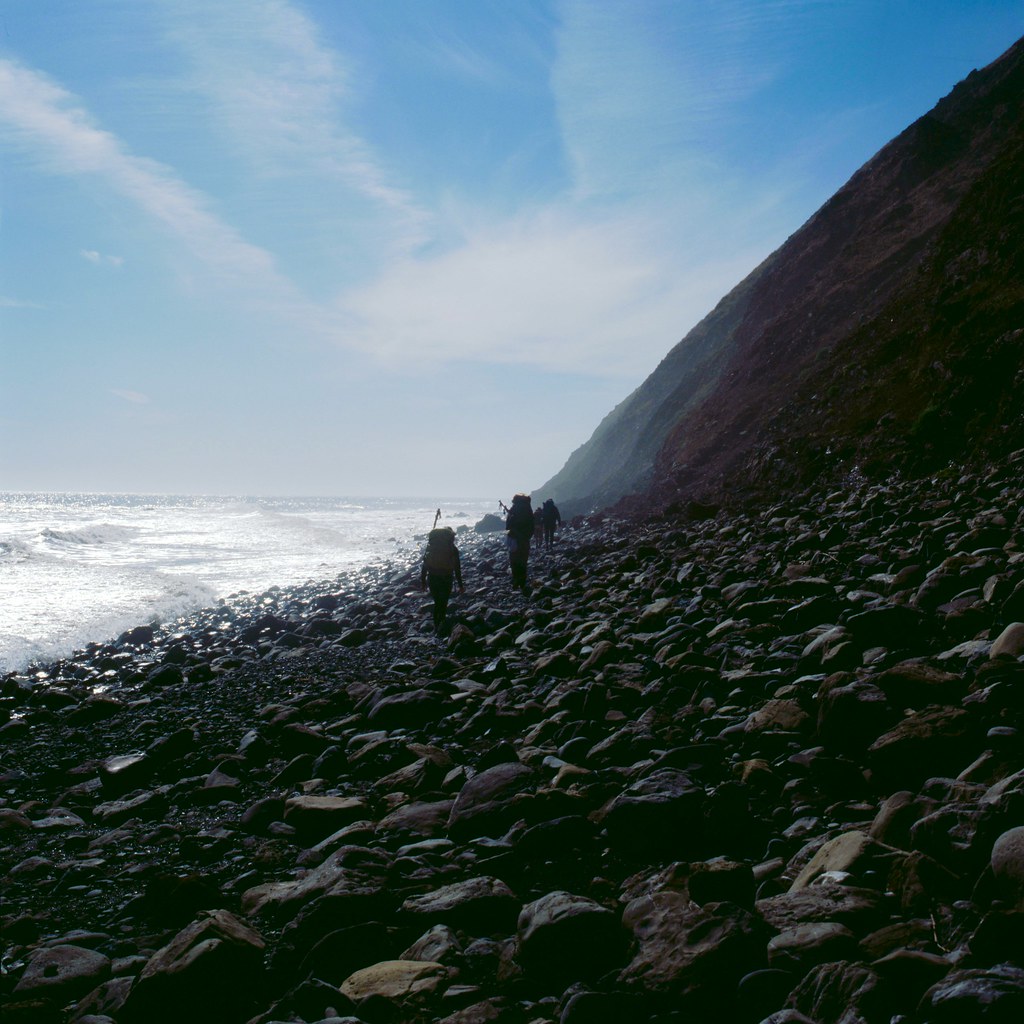
View from Spanish Ridge down to the Lost Coast Trail, King Range, Humboldt County, California

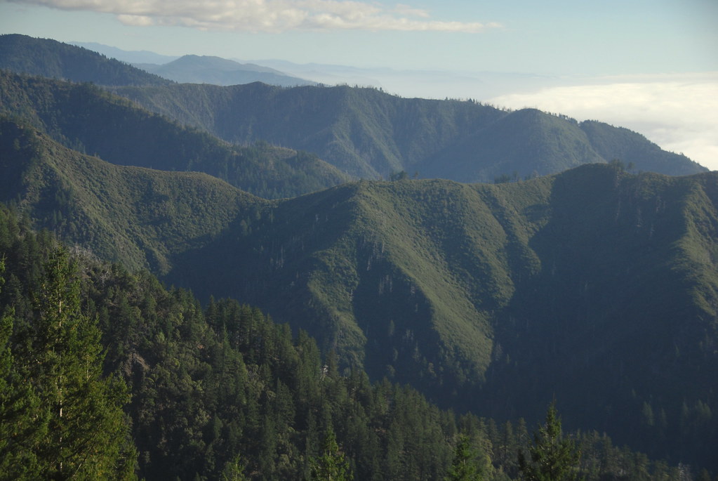
View from King Range over Humboldt State Redwoods, Humboldt County, California
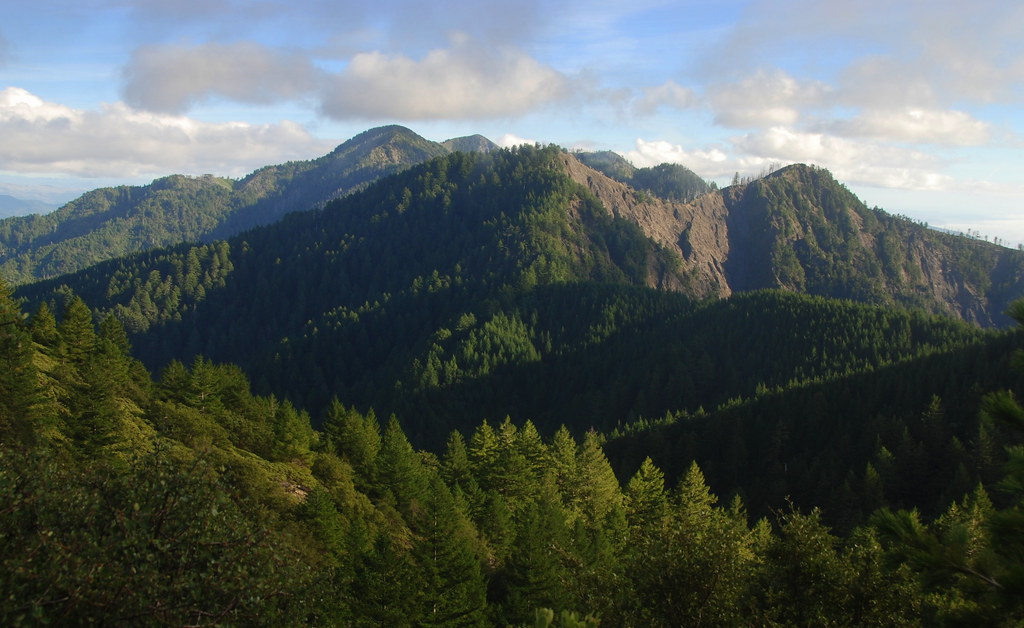
King Range View, Humboldt County, California
King Crest Trail view back onto King Peak, King Range, Humboldt County, California
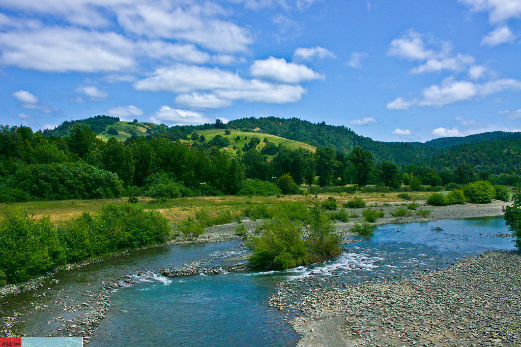
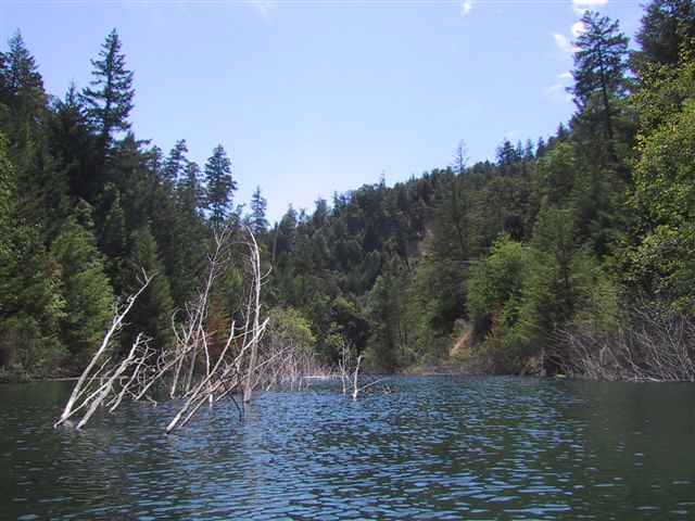
Take Me to the River, Please?

DSCF1401_edited-1
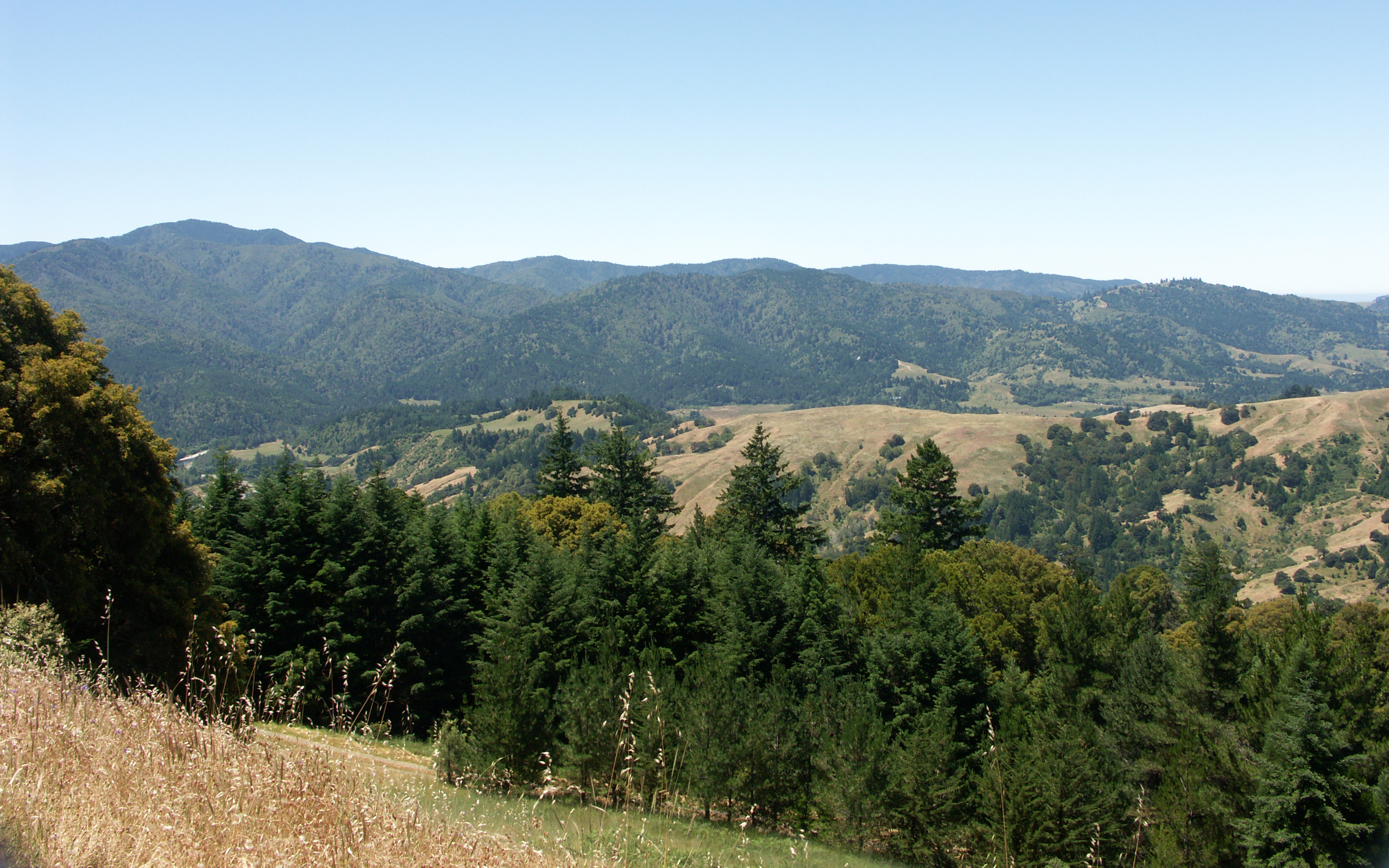
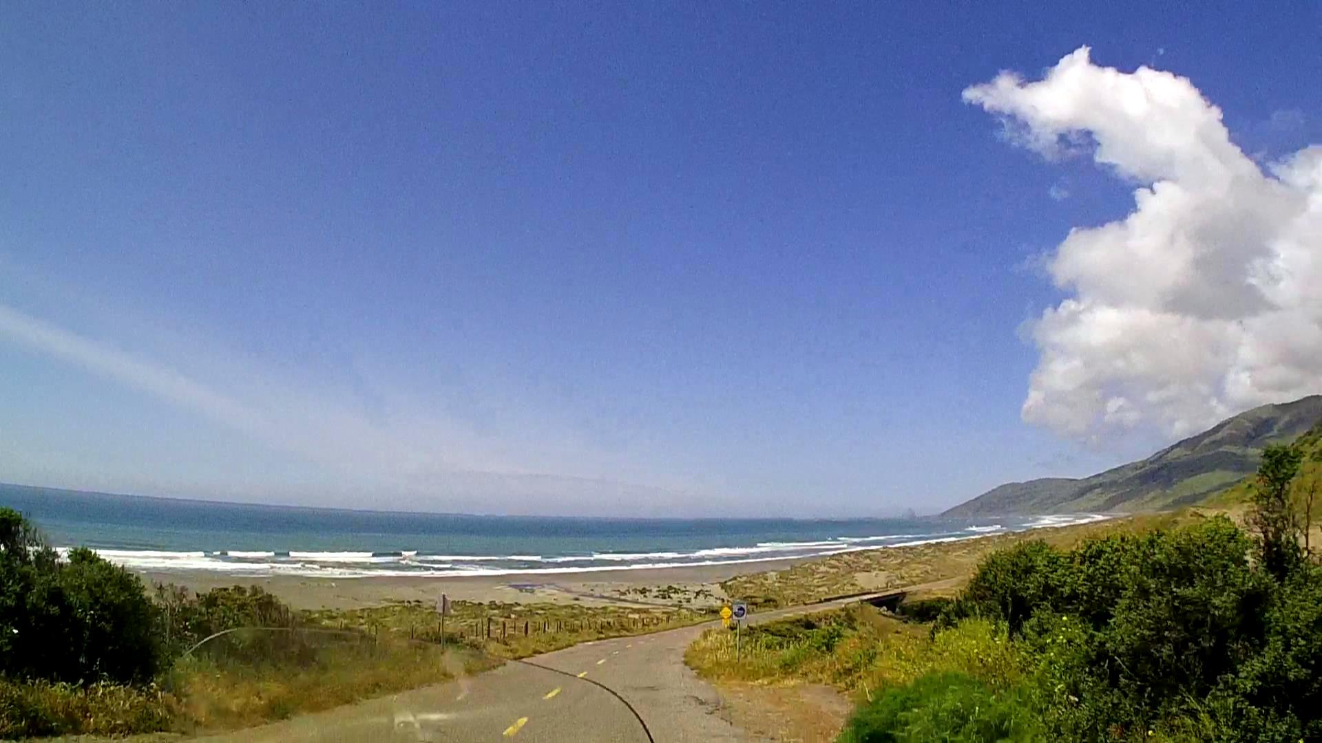
Mattole Road View 1
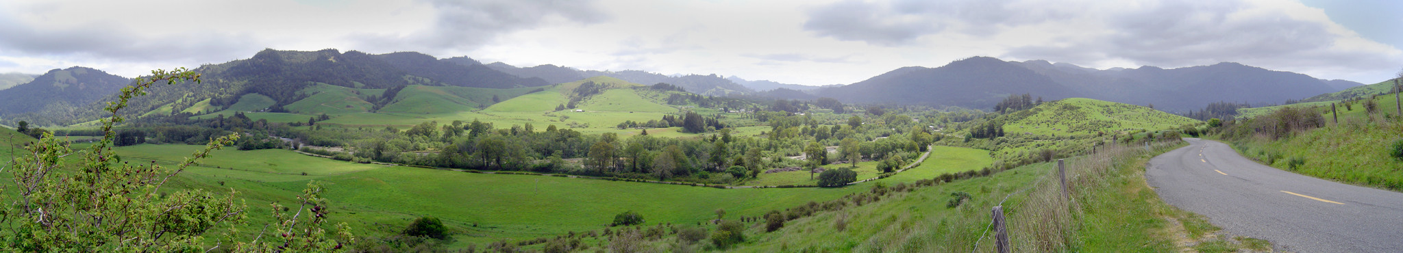
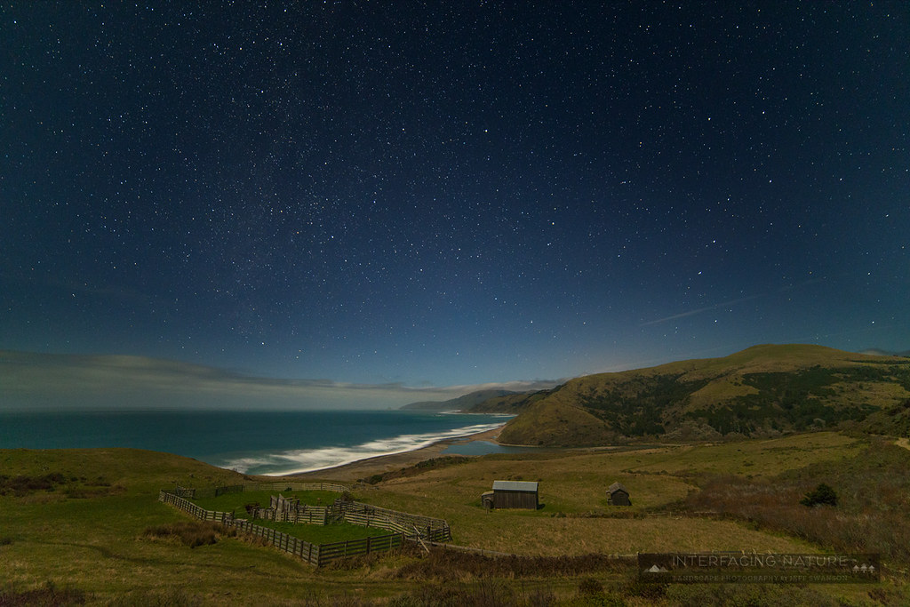
Panorama of the Lower Mattole Valley
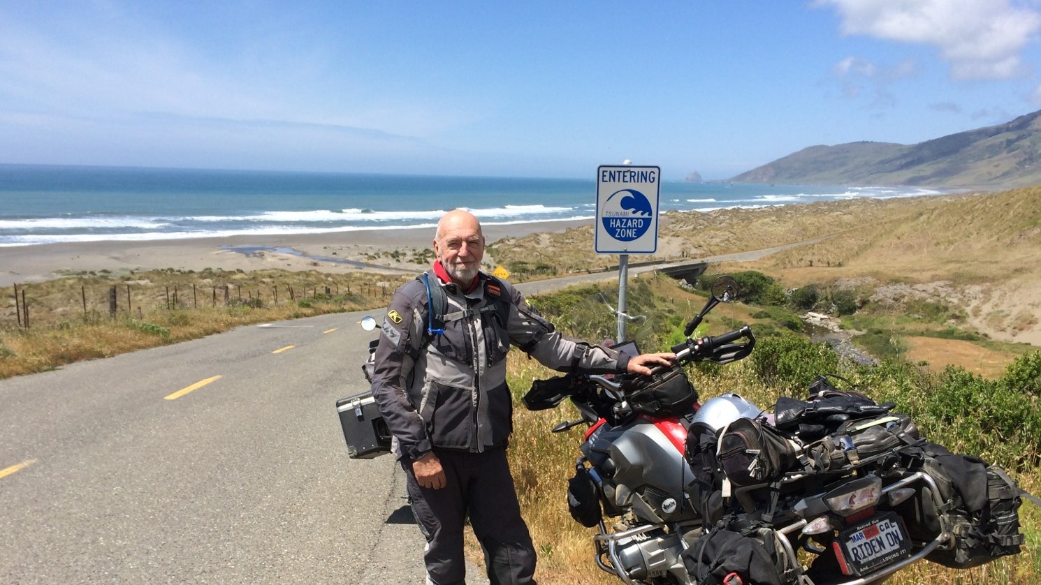
Near Petrolia
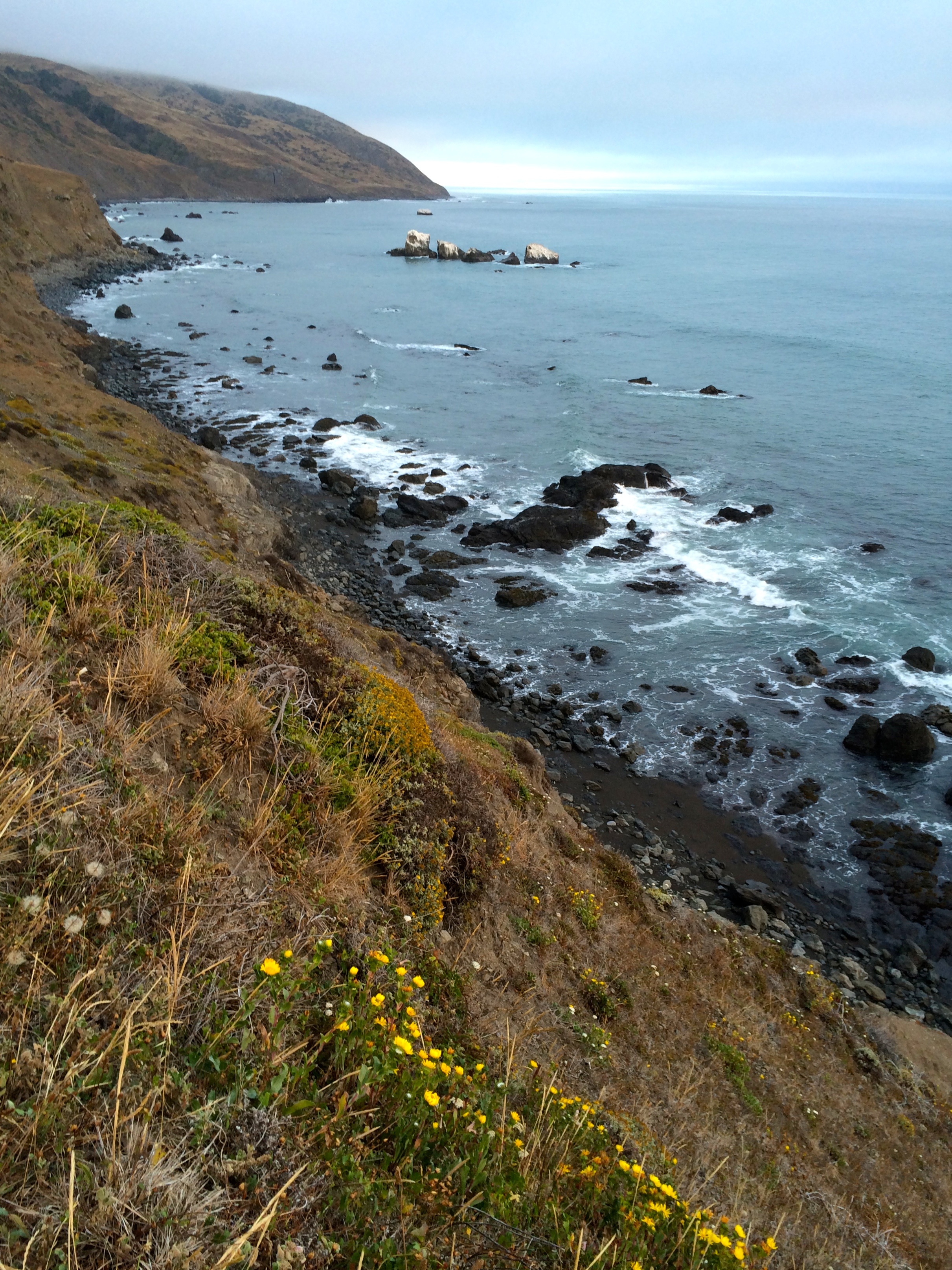
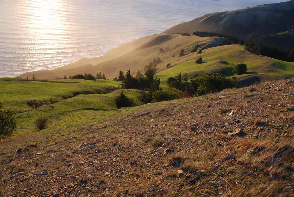
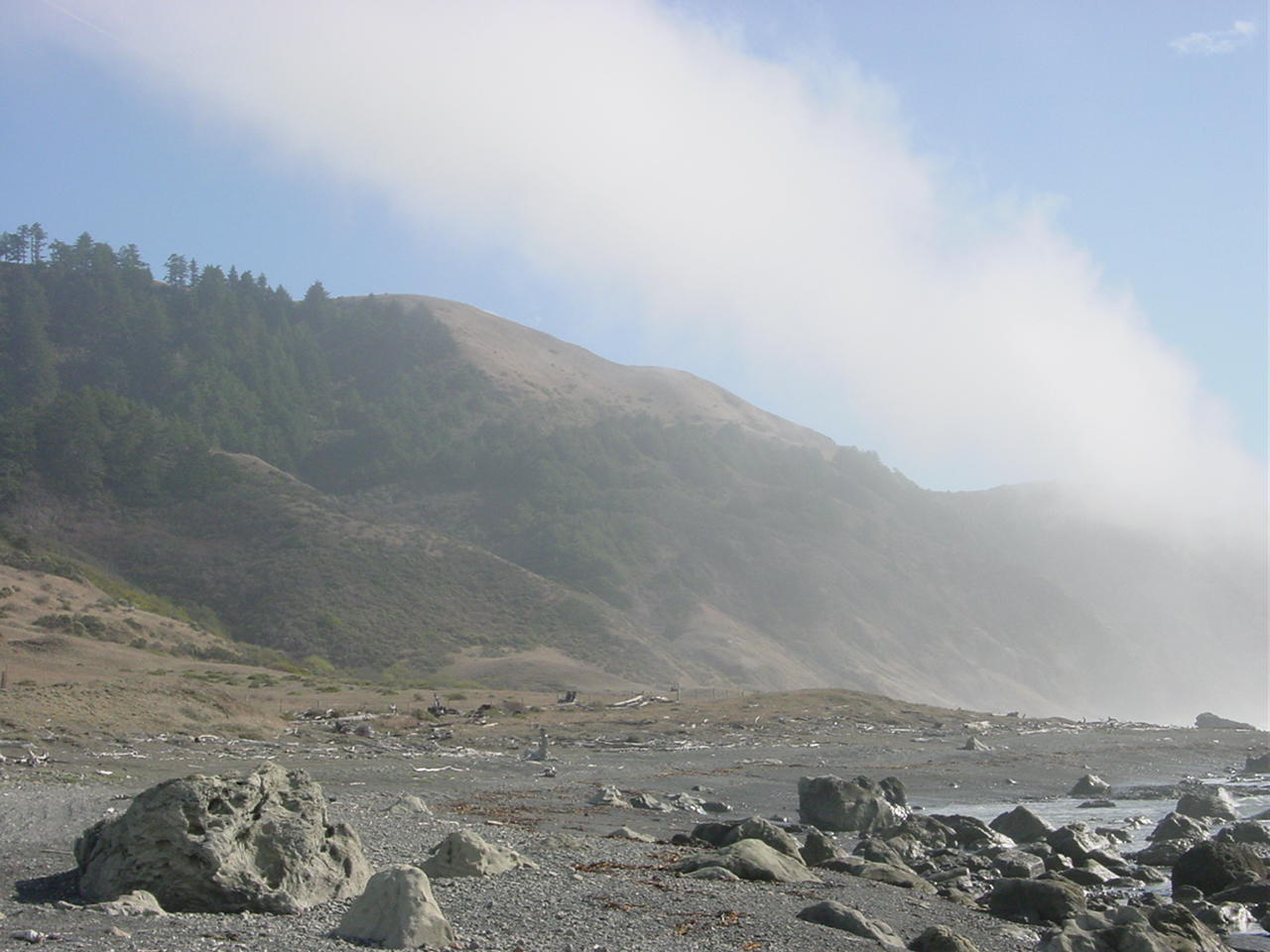
Bluff-top View

DSCF1359_edited-1
118-1865_IMG
Lost Coast Backpacker 042
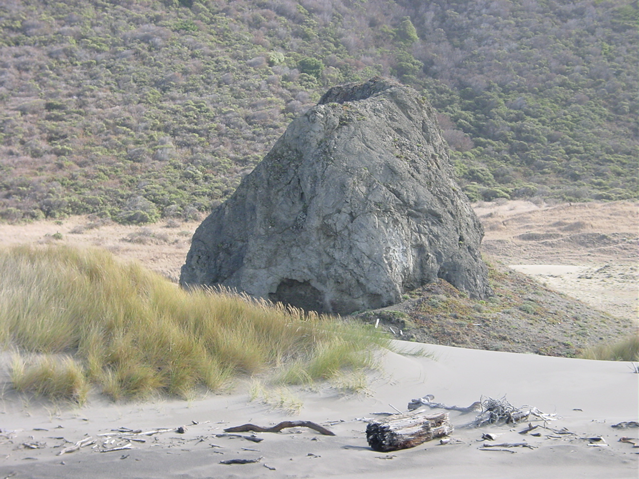
Lost-Coast_50a
Lost-Coast_51
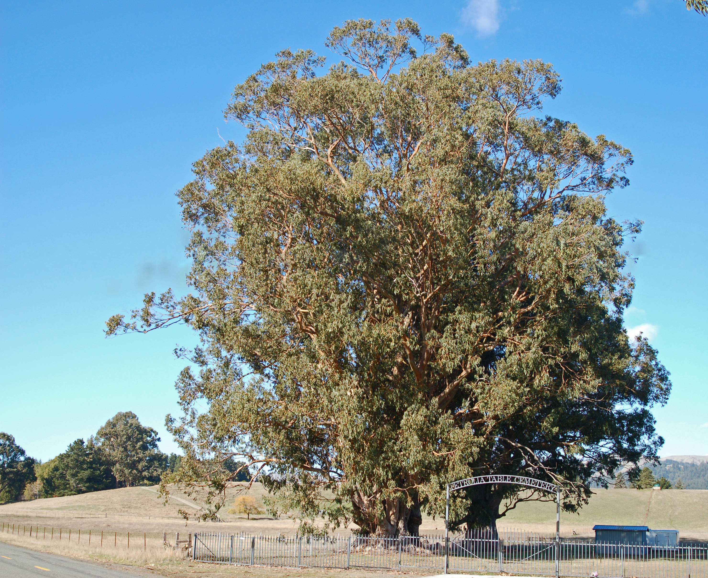
Blue Gum tree, Petrolia, CA

USA // California // Humboldt County // Lost Coast (***read description***)

Mattole River and Pacific Ocean
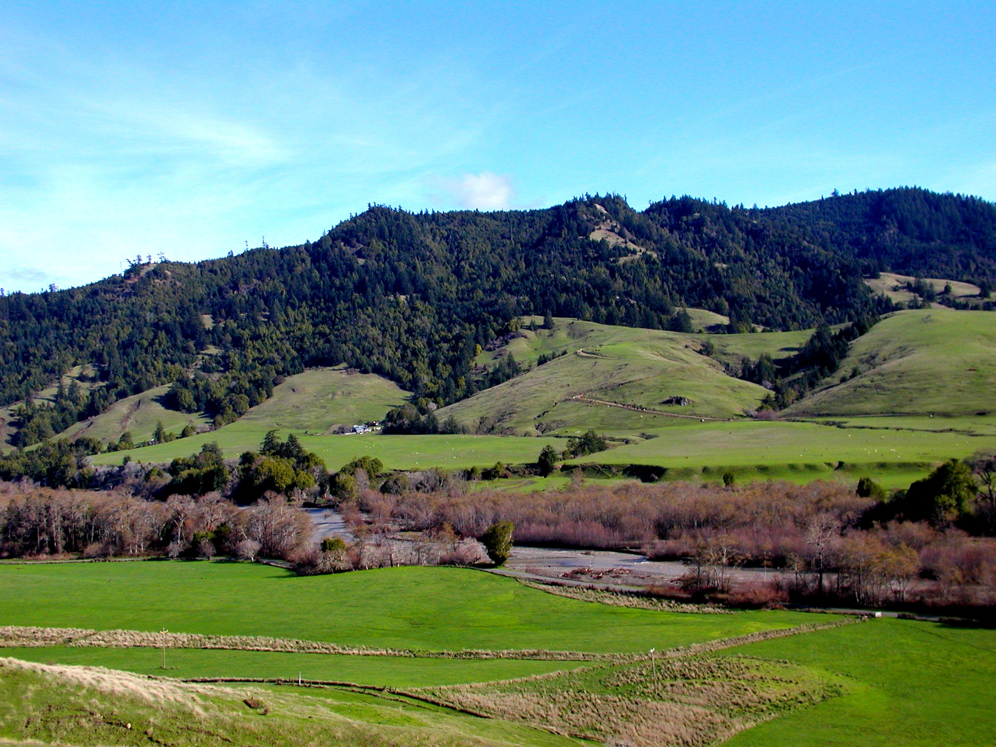
Beautiful Countryside

The Lost Coast, California
Among Everything

Green Hill and Pacific, Spanish Ridge Trail, King Range, Humboldt County, California
Lost Coast Outpost -- Mattole Beach, Humboldt County, CA

Spanish ridge first light, King Range, Humboldt County, California

-
1101-122344
1101-133412
Roscoe Ranch Honeydew2
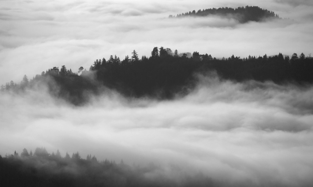
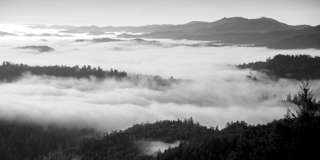
Fog Island of Humboldt County, California

2012-11-23 at 17-45-20
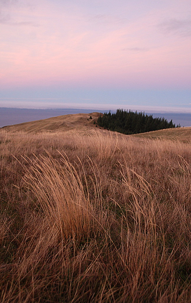
Sunrise on Spanish Ridge, King Range, Humboldt County, California

-
Topographic Map of Mattole Road, Mattole Rd, California, USA
Find elevation by address:

Places near Mattole Road, Mattole Rd, California, USA:
36330 Mattole Rd
2003 Conklin Creek Rd
Petrolia
27145 Mattole Rd
Lost Coast Ranch
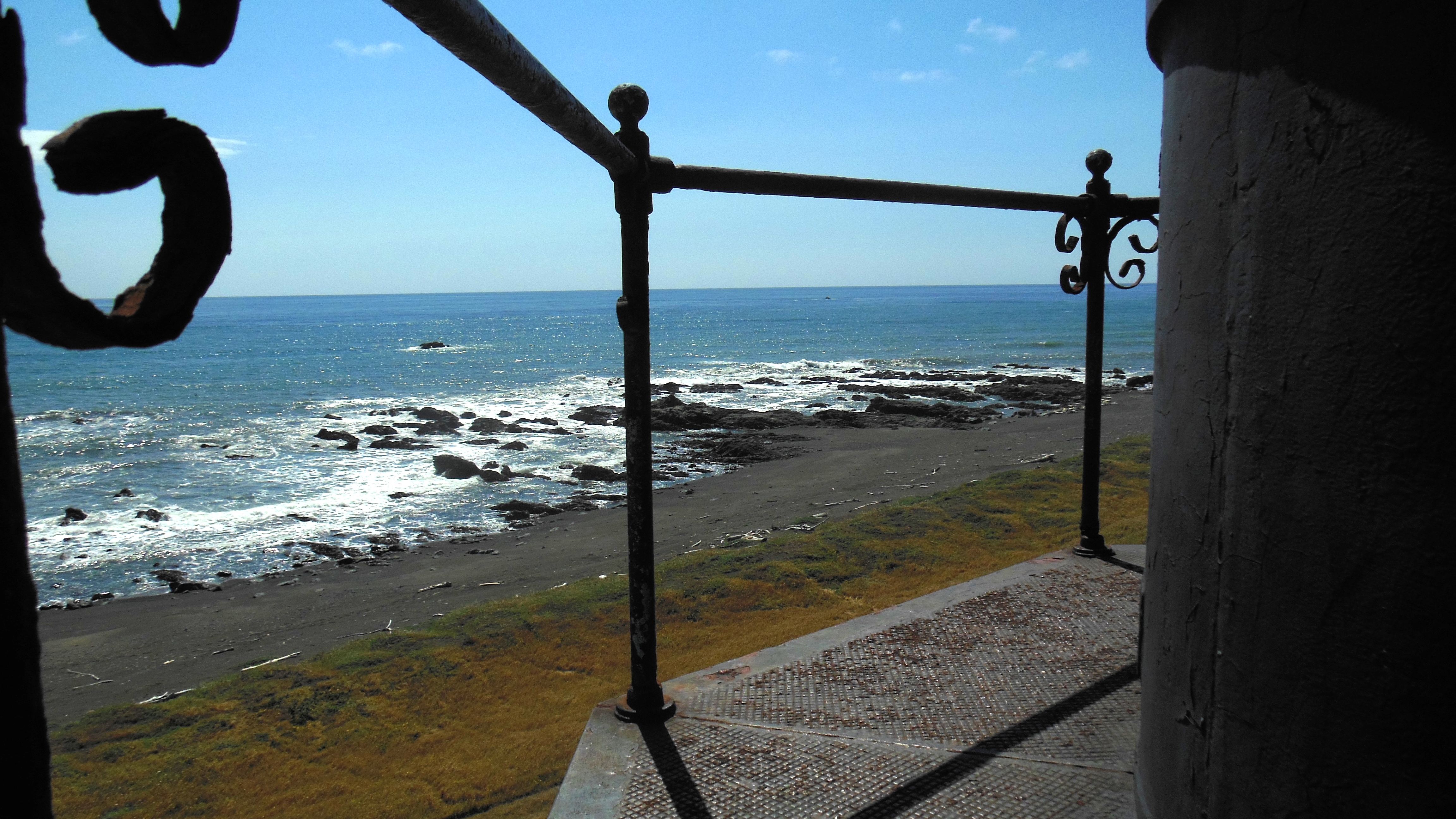
Lighthouse Rd, Petrolia, CA, USA
Honeydew
Mattole Rd, Honeydew, CA, USA
King Range
Mount Pierce Lookout Road
Howe Creek Rd, Ferndale, CA, USA
2330 Monument Rd
Prescott Dr, Ferndale, CA, USA
Wilder Ridge Rd, Garberville, CA, USA
6730 Wilder Ridge Rd
Scotia
491 Monument Rd
176 Grayland Heights Rd
Ogle Ave, Rio Dell, CA, USA
215 Belleview Ave
Recent Searches:
- Elevation of Corso Fratelli Cairoli, 35, Macerata MC, Italy
- Elevation of Tallevast Rd, Sarasota, FL, USA
- Elevation of 4th St E, Sonoma, CA, USA
- Elevation of Black Hollow Rd, Pennsdale, PA, USA
- Elevation of Oakland Ave, Williamsport, PA, USA
- Elevation of Pedrógão Grande, Portugal
- Elevation of Klee Dr, Martinsburg, WV, USA
- Elevation of Via Roma, Pieranica CR, Italy
- Elevation of Tavkvetili Mountain, Georgia
- Elevation of Hartfords Bluff Cir, Mt Pleasant, SC, USA