Elevation of Wilder Ridge Rd, Garberville, CA, USA
Location: United States > California > Humboldt County > Garberville >
Longitude: -124.05756
Latitude: 40.207731
Elevation: 369m / 1211feet
Barometric Pressure: 97KPa
Elevation Map:
Satellite Map:
Related Photos:
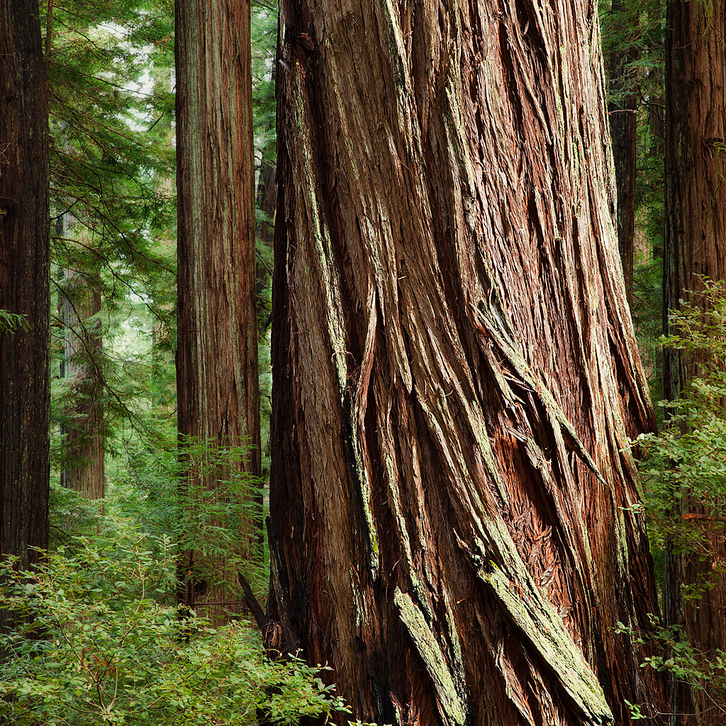
Giant: Bull Creek, California
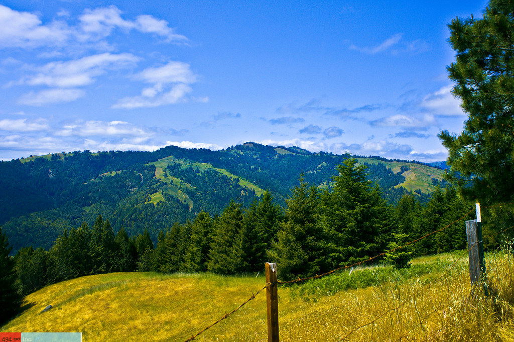
View of the King Range from Mattole Road, Humboldt County, California

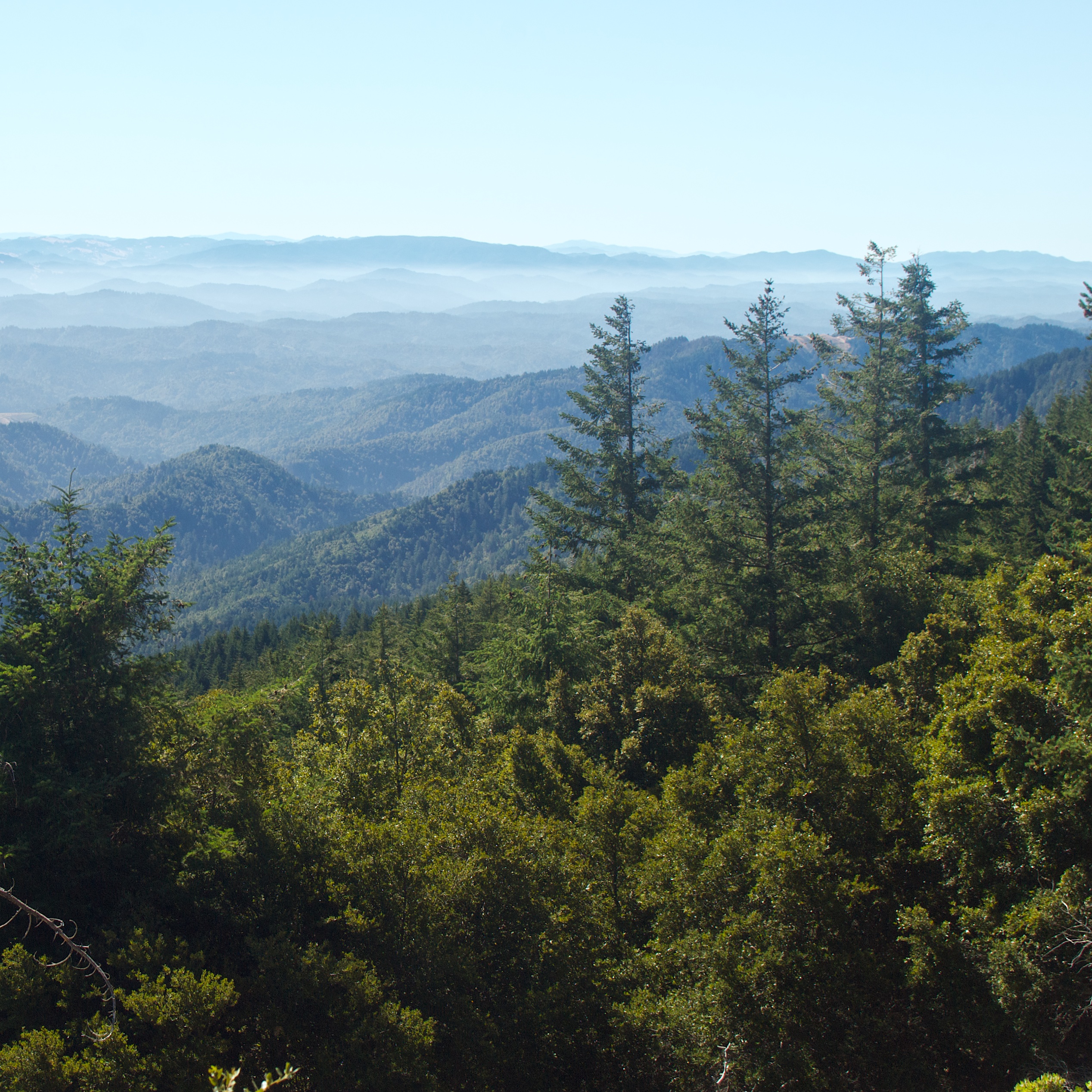
View from King Range over Humboldt State Redwoods, Humboldt County, California
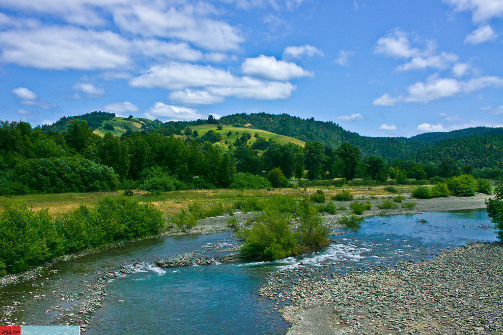
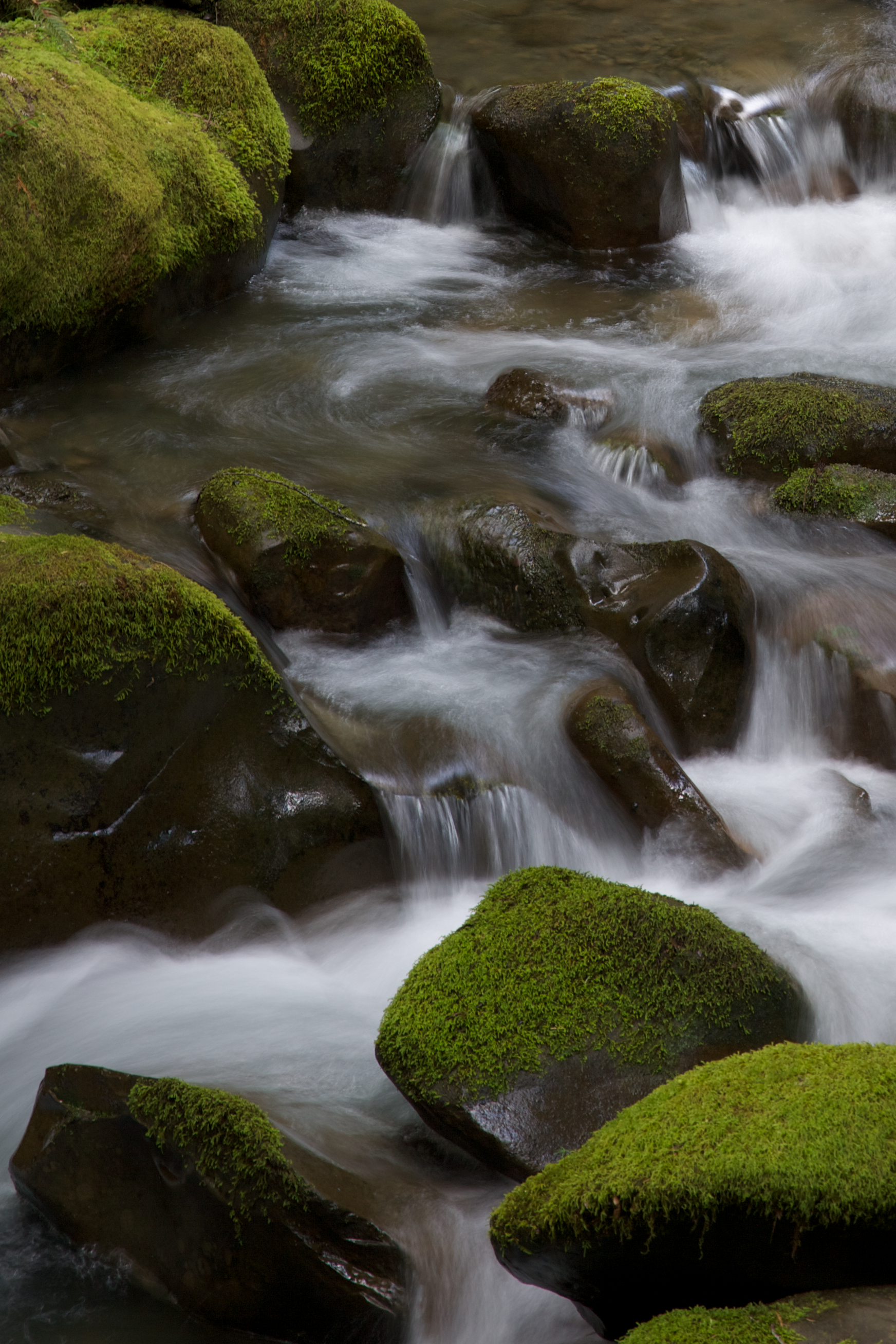
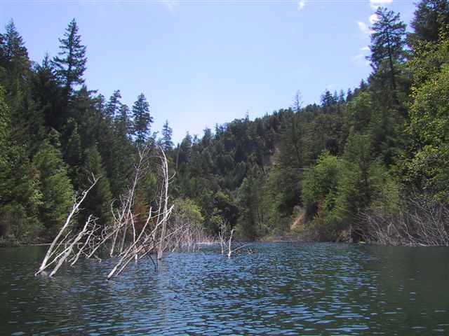
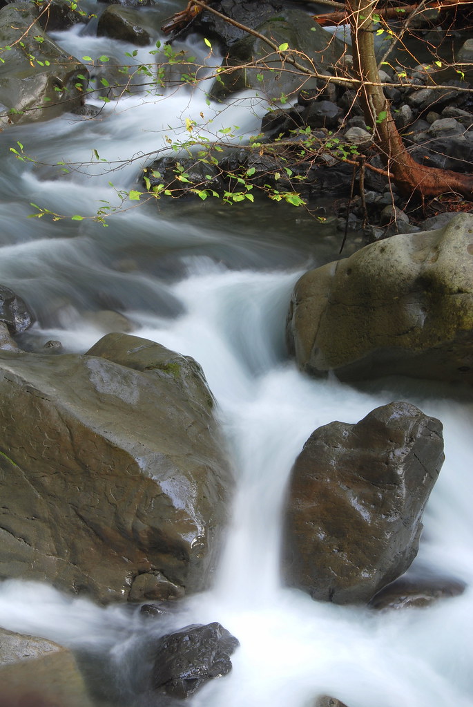
Take Me to the River, Please?
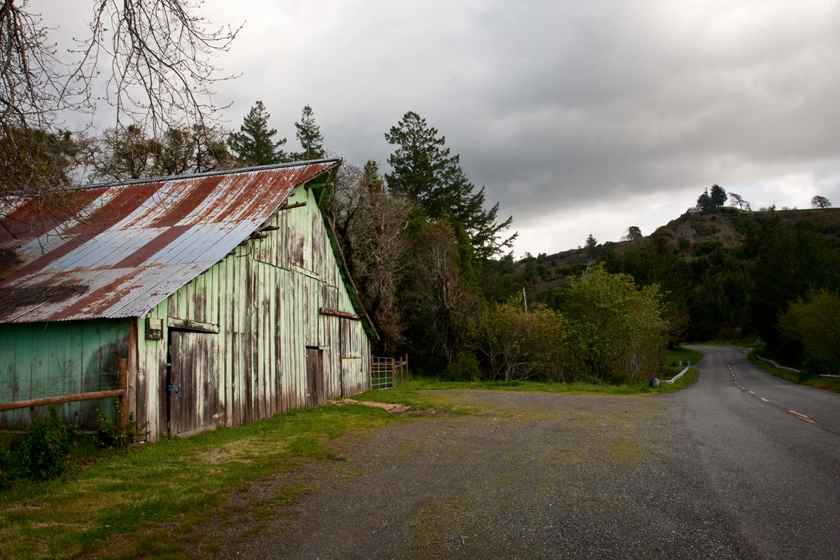
Barn on Mattole Road
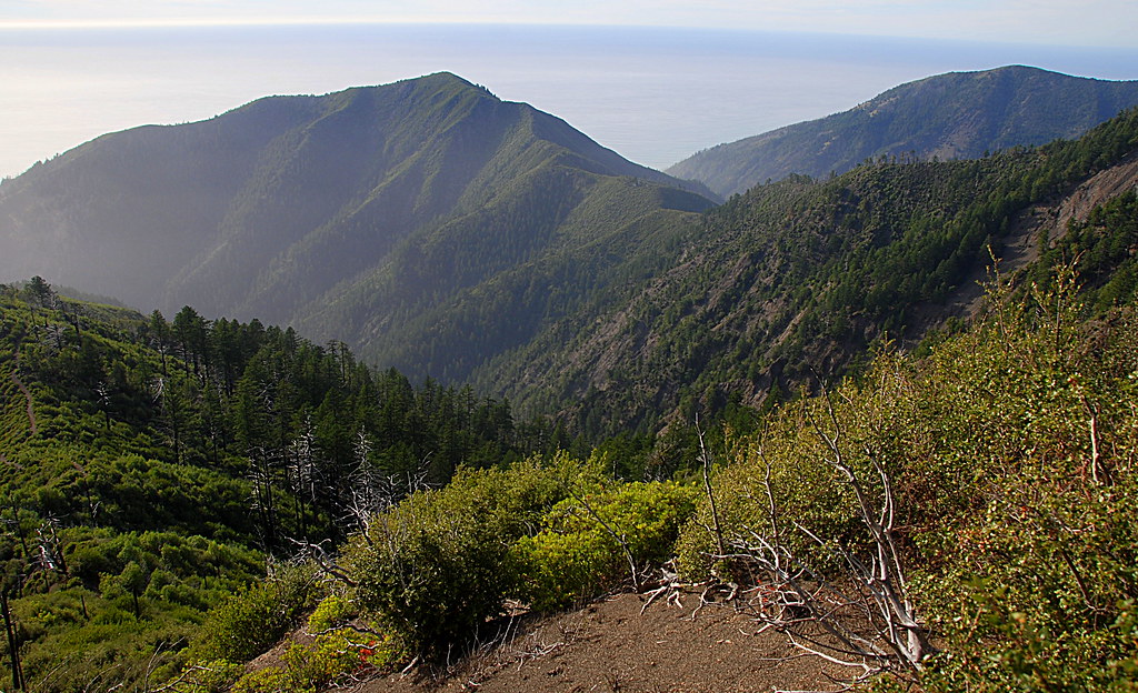
View down to coast from Rattlesnake ridge and King Crest Trail intersection, King Range, Humboldt County, California
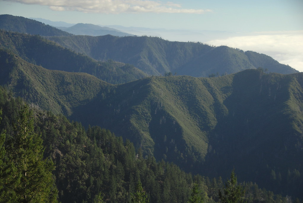
King Range View, Humboldt County, California
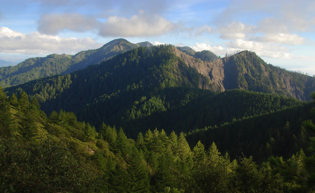
King Crest Trail view back onto King Peak, King Range, Humboldt County, California
King Range view with clouds, Humboldt County, California

View to ocean from King crest Trail, King Range, Humboldt County, California
On the Rocks
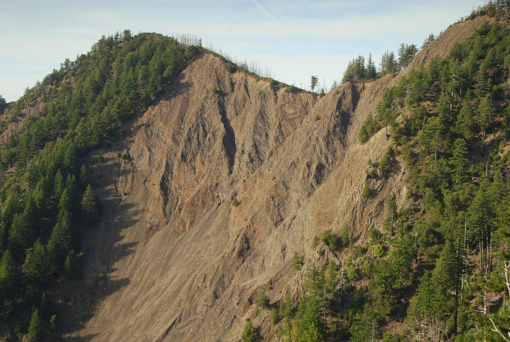
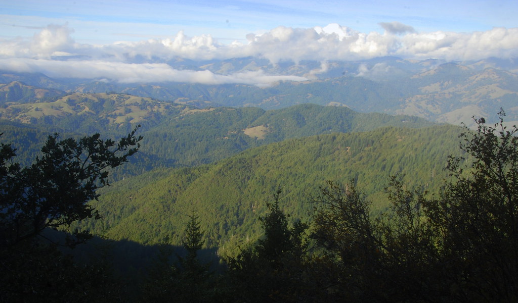
View of King Crest Trail from Rattlesnake Ridge Trail, King Range, Humboldt County, California
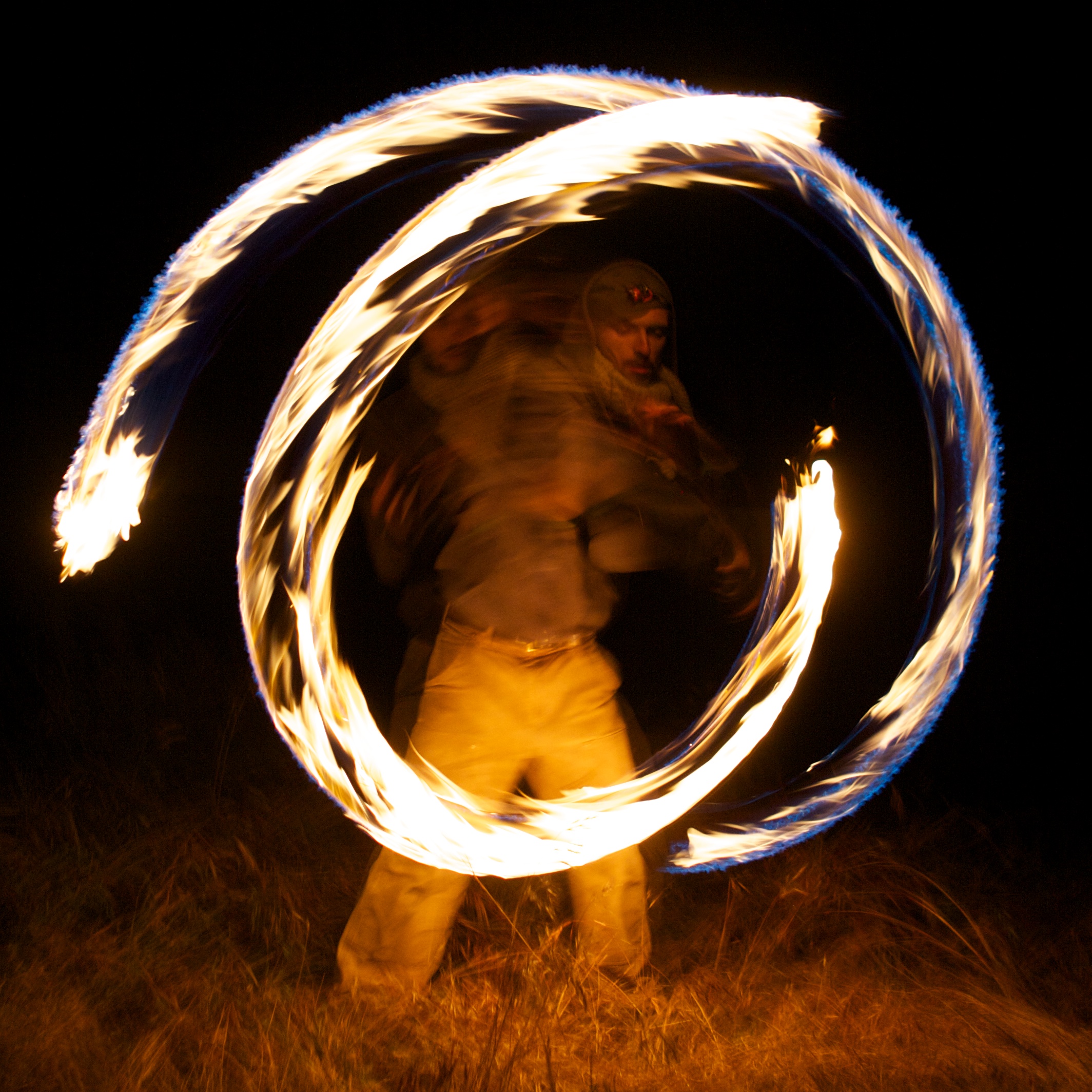
Circles of Fire
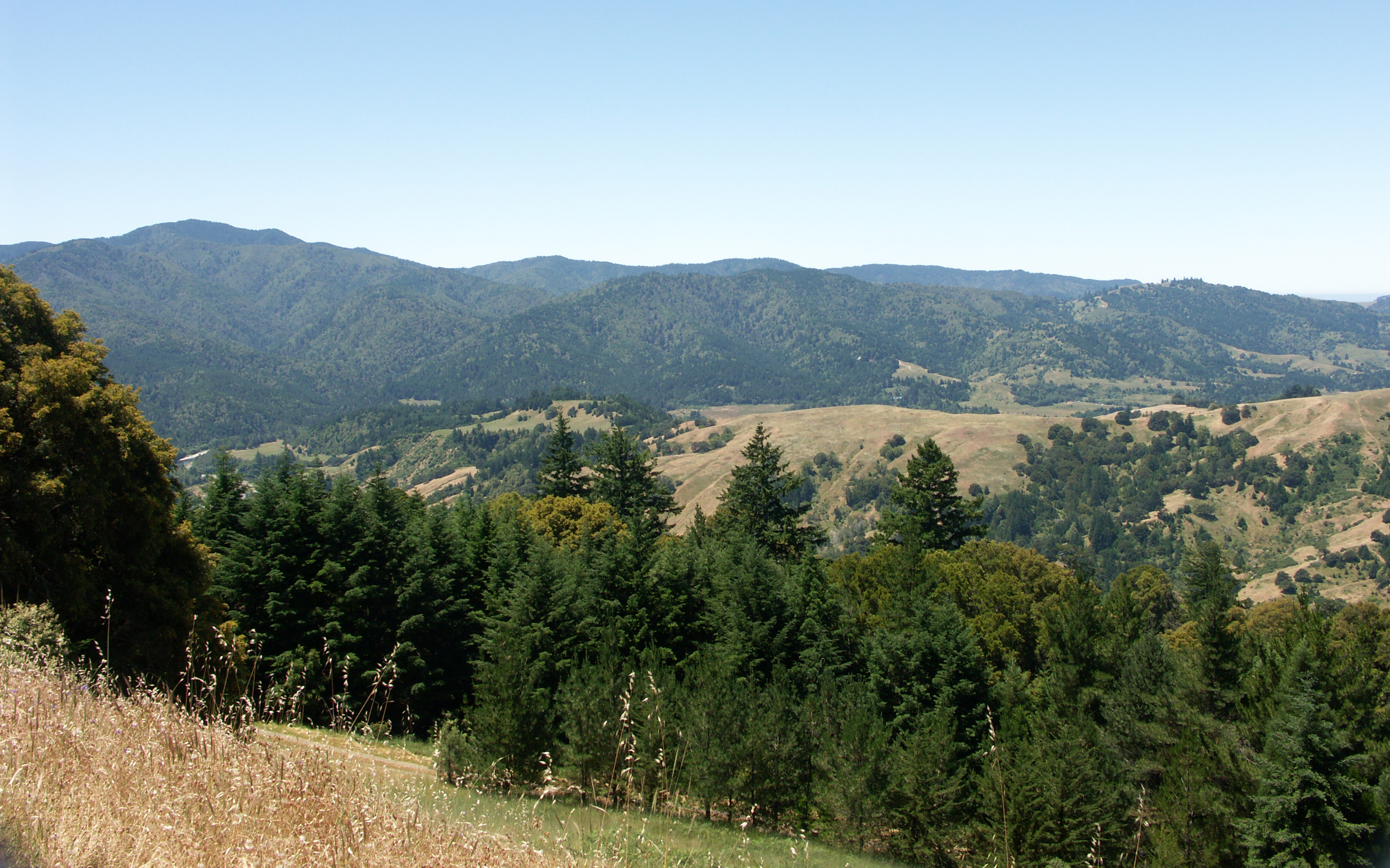
Mattole Road View 1

view from trailhead

view from trailhead
view from King's Peak
118-1865_IMG

Fall colors on Big Flat Creek of Rattlesnake Ridge Trail, King Range, Humboldt County, California
Beautiful Countryside

-

-

How old mountains drip with sunset

-

-

-

-

-

-
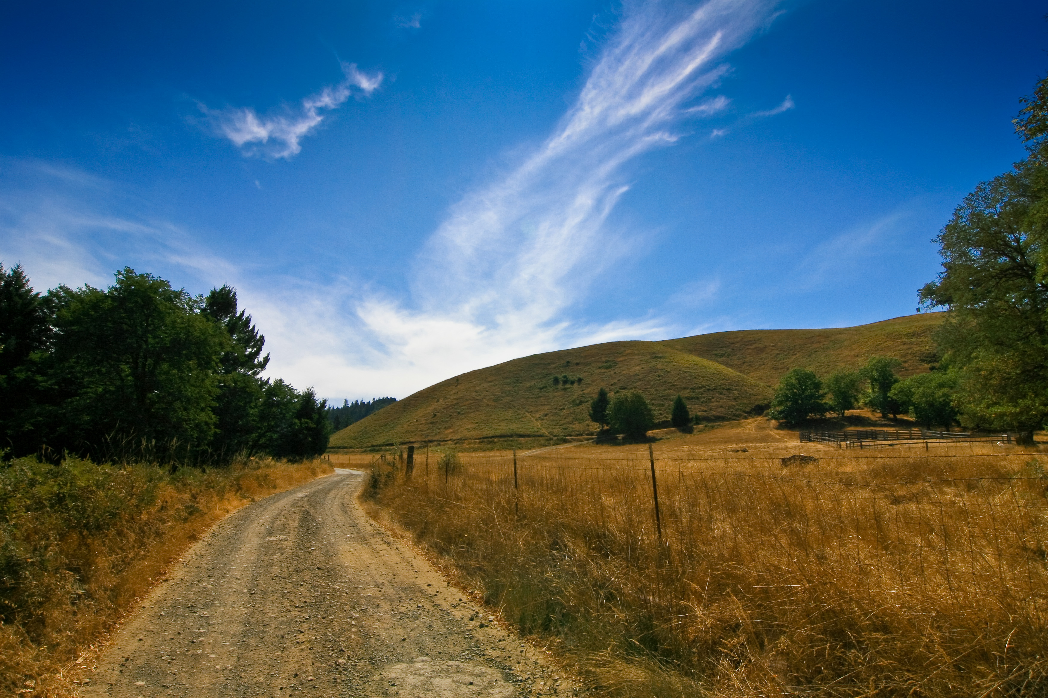
Dirt Road, Ettersburg, California
Big flat creek rapids, Rattlesnake Ridge Trail, King Range, Humboldt, California

Humboldt County Grain
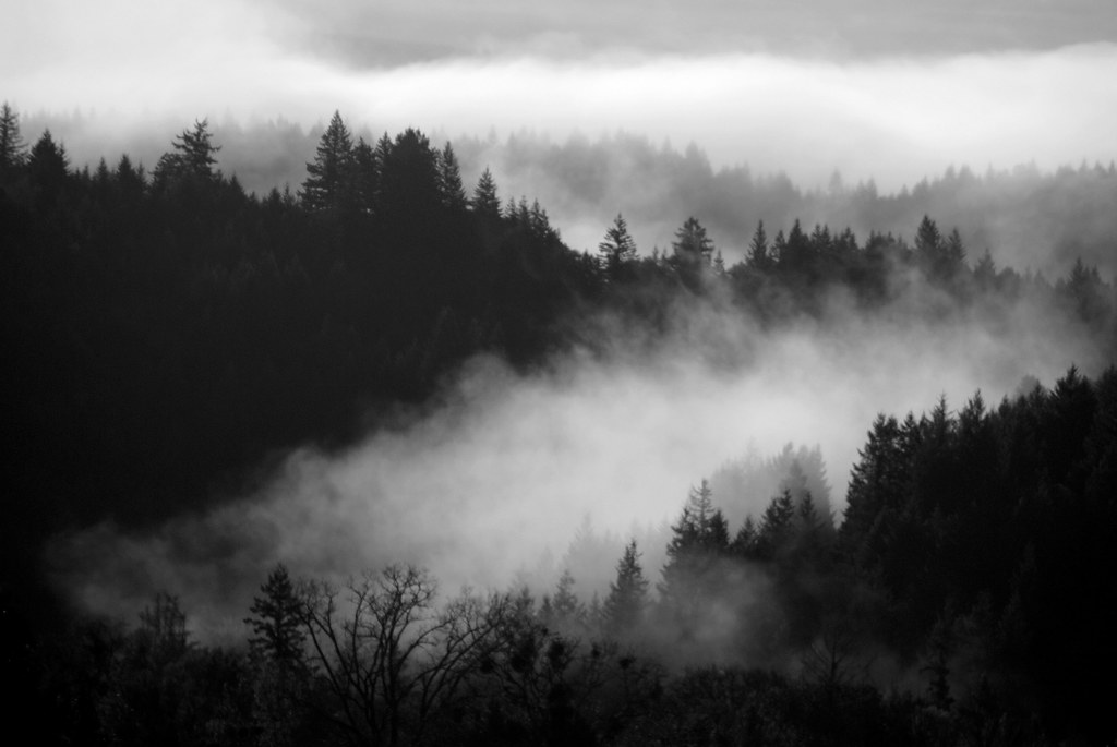
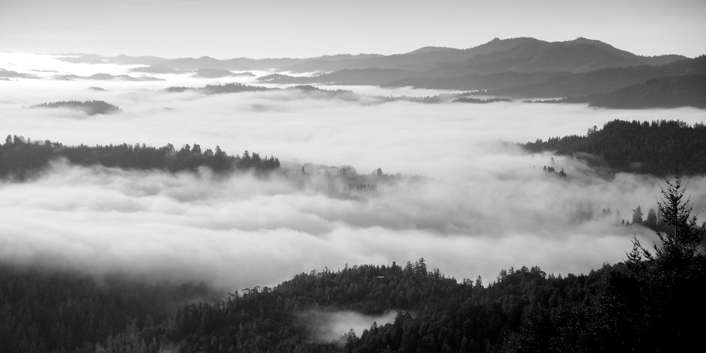
Fog in the valley, Honeydew, California
Topographic Map of Wilder Ridge Rd, Garberville, CA, USA
Find elevation by address:

Places near Wilder Ridge Rd, Garberville, CA, USA:
6730 Wilder Ridge Rd
Wilder Ridge Rd, Garberville, CA, USA
12023 Wilder Ridge Rd
Mattole Rd, Honeydew, CA, USA
Honeydew
King Range
Ettersburg
88 Warden Ct
Briceland Rd, Whitethorn, CA, USA
89 Atchinson Ct
Avenue Of The Giants
248 Seafoam Rd
Weott
141 Cove Point W
Sewell Blvd, Weott, CA, USA
1630 Perry Meadow Rd
Briceland Thorn Rd, Garberville, CA, USA
473 Madrone Rd
36330 Mattole Rd
Dyerville Giant
Recent Searches:
- Elevation of Corso Fratelli Cairoli, 35, Macerata MC, Italy
- Elevation of Tallevast Rd, Sarasota, FL, USA
- Elevation of 4th St E, Sonoma, CA, USA
- Elevation of Black Hollow Rd, Pennsdale, PA, USA
- Elevation of Oakland Ave, Williamsport, PA, USA
- Elevation of Pedrógão Grande, Portugal
- Elevation of Klee Dr, Martinsburg, WV, USA
- Elevation of Via Roma, Pieranica CR, Italy
- Elevation of Tavkvetili Mountain, Georgia
- Elevation of Hartfords Bluff Cir, Mt Pleasant, SC, USA