Elevation of Wilder Ridge Rd, Garberville, CA, USA

Location: United States > California > Humboldt County > Garberville >

Longitude: -124.01676

Latitude: 40.1470992

Elevation: 382m / 1253feet

Barometric Pressure: 97KPa

Elevation Map:

elevation map of Wilder Ridge Rd, Garberville, CA, USA

Satellite Map:

Satellite map of Wilder Ridge Rd, Garberville, CA, USA
Related Photos:

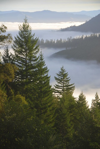
california county ca trees usa nature vertical fog america forest sunrise landscape humboldt king north redwoods range
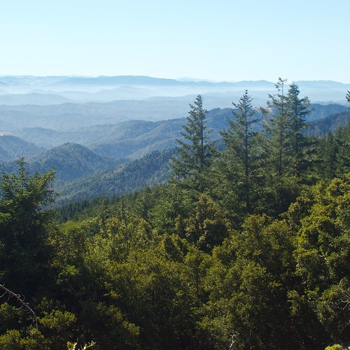
View from King Range over Humboldt State Redwoods, Humboldt County, California
california iphone weatherbug airme
Redway, May 24, 2011
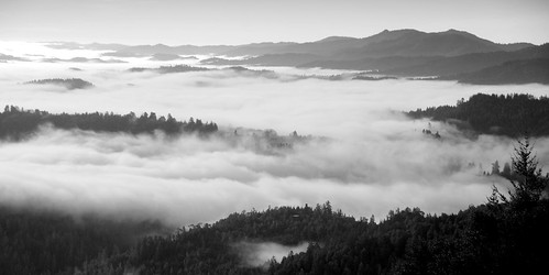
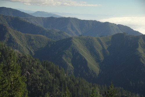
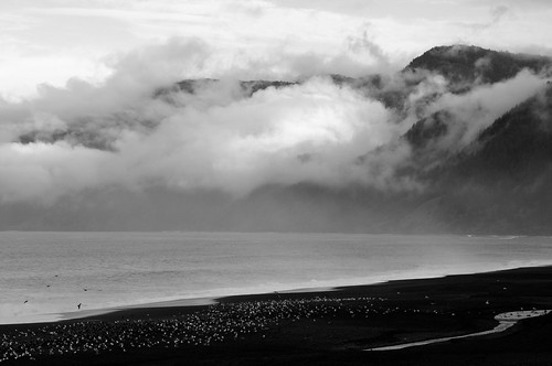
california county ca morning trees bw usa white black mountains west fog america forest landscape humboldt king pacific north northern range pnw
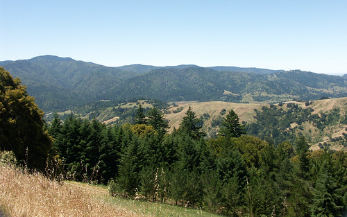
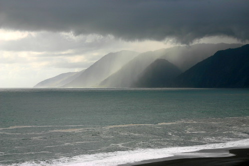
View of the King Range from Mattole Road, Humboldt County, California
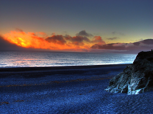
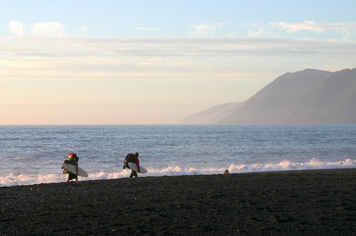
california sunset beach blacksand coast pacific roadtrip 101 day3 hdr masterpiece lostcoast sheltercove
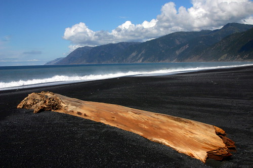
Black Sand sunset
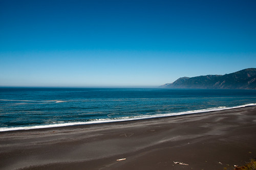
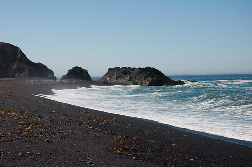
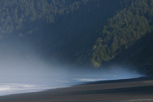
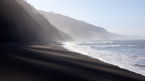
ocean california humboldt day pacific anniversary clear 2010 lostcoast sheltercove blacksandbeach benbow
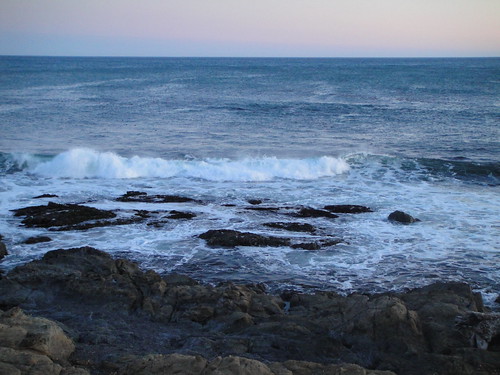
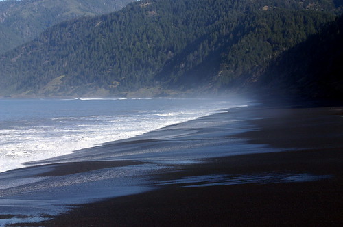
Black Sand Beach
california county ca usa mountains nature america lost outdoors coast humboldt king north cost coastal backpacking norcal northern range
View down to coast from Rattlesnake ridge and King Crest Trail intersection, King Range, Humboldt County, California
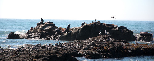
ocean california humboldt pacific anniversary seals 2010 lostcoast sheltercove benbow
Bay at Shelter Cove
ocean california humboldt pacific anniversary 2010 lostcoast sheltercove blacksandbeach benbow
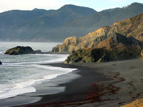
Black Sand Beach
california county ca usa mountains nature america lost outdoors coast humboldt king north cost coastal backpacking norcal northern range
King Range View, Humboldt County, California
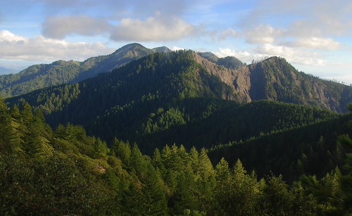
california county ca usa mountains nature america lost outdoors coast humboldt king north cost coastal backpacking norcal northern range
King Crest Trail view back onto King Peak, King Range, Humboldt County, California
norcalphotographers
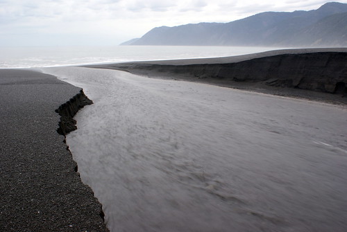
Take Me to the River, Please?
ocean california lighthouse humboldt pacific anniversary 2010 lostcoast sheltercove benbow capemendocino
Cape Mendocino Lighthouse
ocean california county nature landscape lost coast humboldt king pacific crest trail norcal northern
View to ocean from King crest Trail, King Range, Humboldt County, California
california county ca usa mountains nature america lost outdoors coast humboldt king north cost coastal backpacking norcal northern range
View of King Crest Trail from Rattlesnake Ridge Trail, King Range, Humboldt County, California
coastguard vandalism communicationstower sheltercove kmud rescue21
Shelter Cove tower shot by high power rifle
Mattole Road View 1
2004 humboldt spring mattole
King Range Panorama 051404
geotagged
view from King's Peak
Tides Inn (14)
california lostcoasttrailsouth
Our first view of the Pacific on the Lost Coast Trail
0218-120718
0312-095245
0430-084951
1111-090121
0420-090034
0419-153725
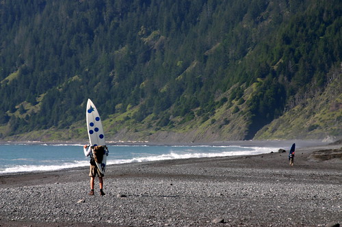
blacksandsbeach sheltercove california norcal humboldtcounty pacificocean beach mountains
Black Sands Beach
0420-085252
0424-163459
0217-093213
0502-172715
california county ca autumn sunset usa mountains tree nature colors america creek landscape lost outdoors coast humboldt big maple king flat north cost ridge trail coastal backpacking norcal northern range rattlesnake
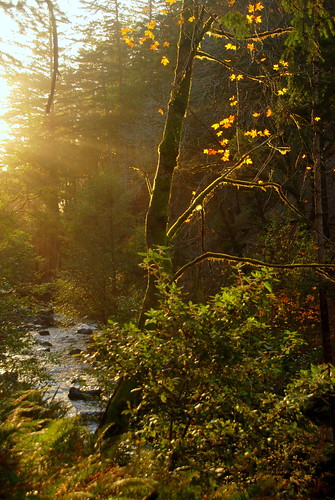
Fall colors on Big Flat Creek of Rattlesnake Ridge Trail, King Range, Humboldt County, California
1025-173120
1110-163953
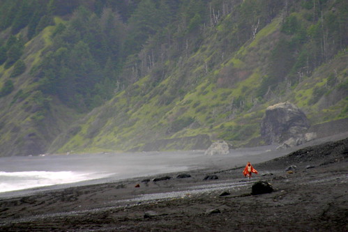
blacksandsbeach sheltercove california
Black Sands Beach
0720-201924
0430-152900
california autumn trees sunset orange mountain cold green field yellow forest fence evening day hills clear paradiseridge ettersburg kingmountainrange
How old mountains drip with sunset
0530-084258
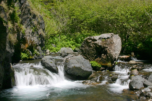
Telegraph Creek
0430-141442