Elevation map of Malheur County, OR, USA
Location: United States > Oregon >
Longitude: -117.57918
Latitude: 43.21716
Elevation: 974m / 3196feet
Barometric Pressure: 90KPa
Elevation Map:
Satellite Map:
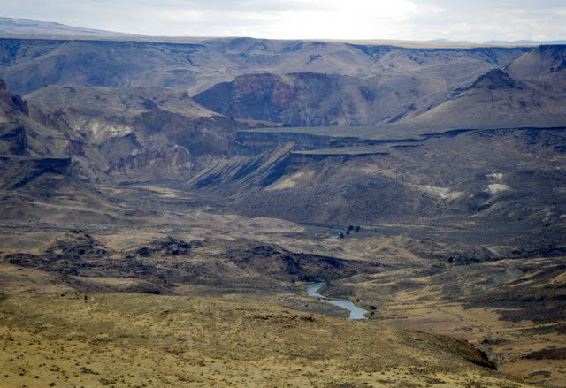
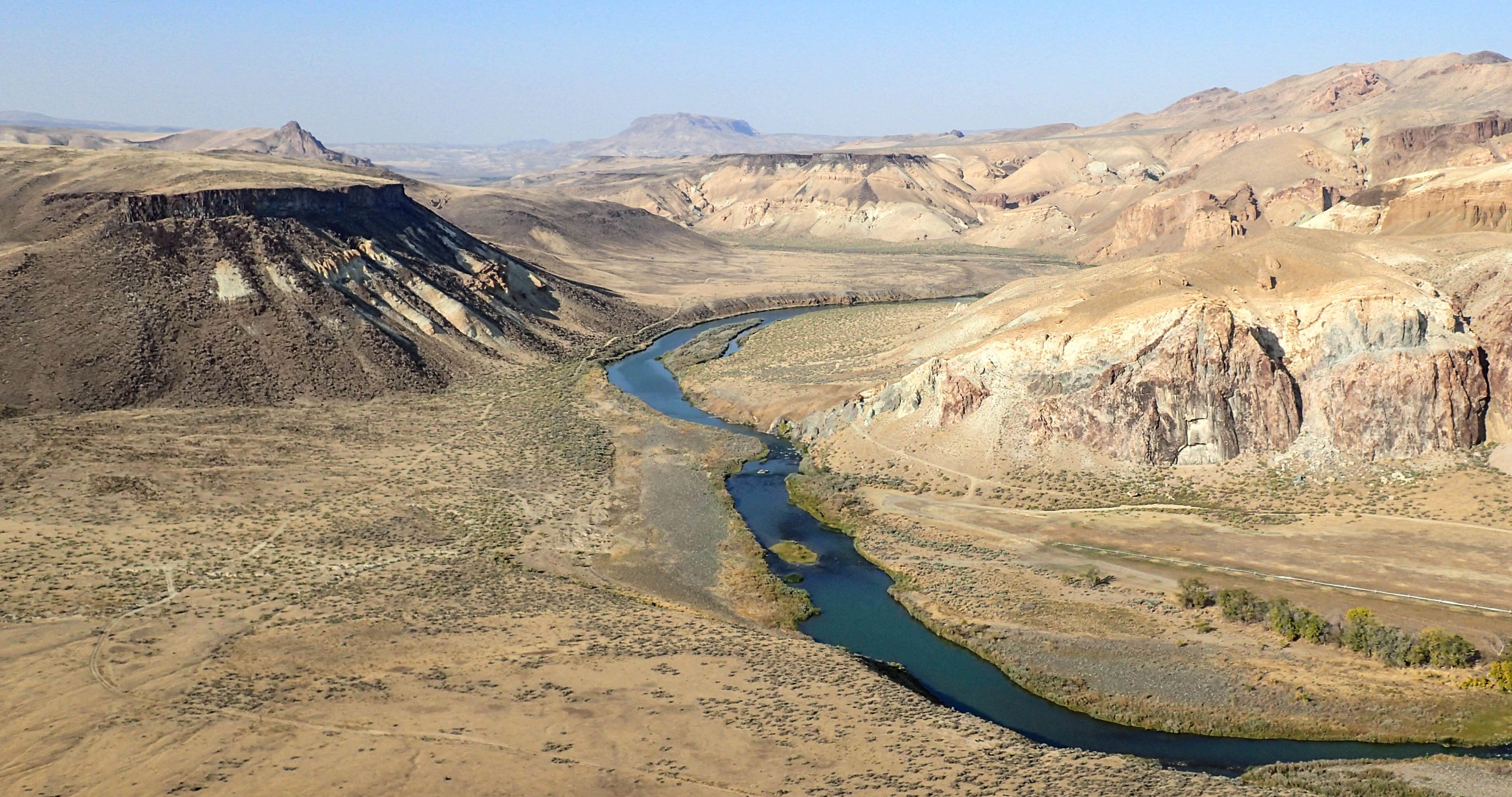
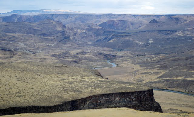
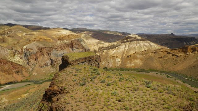
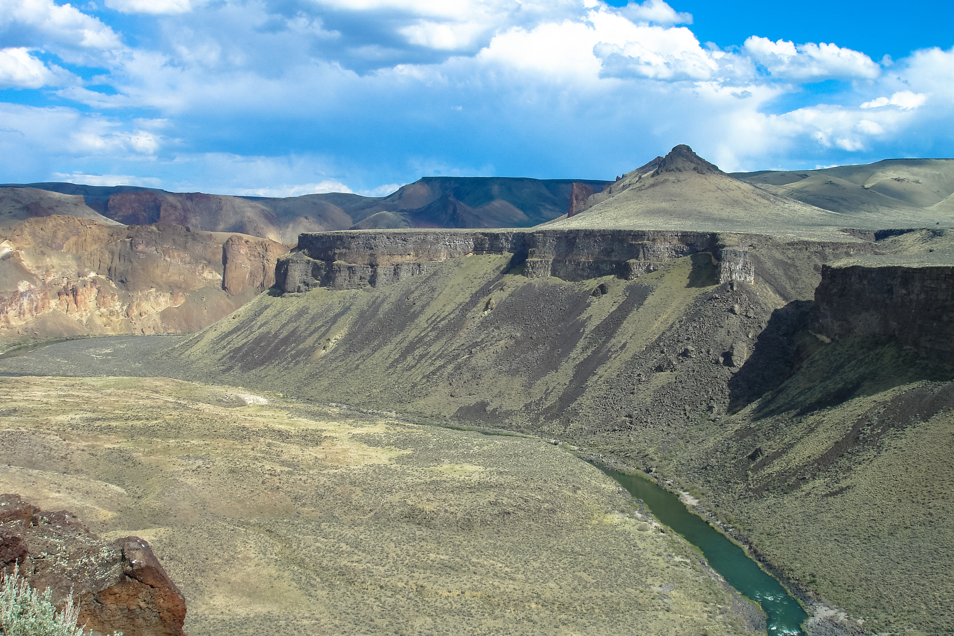
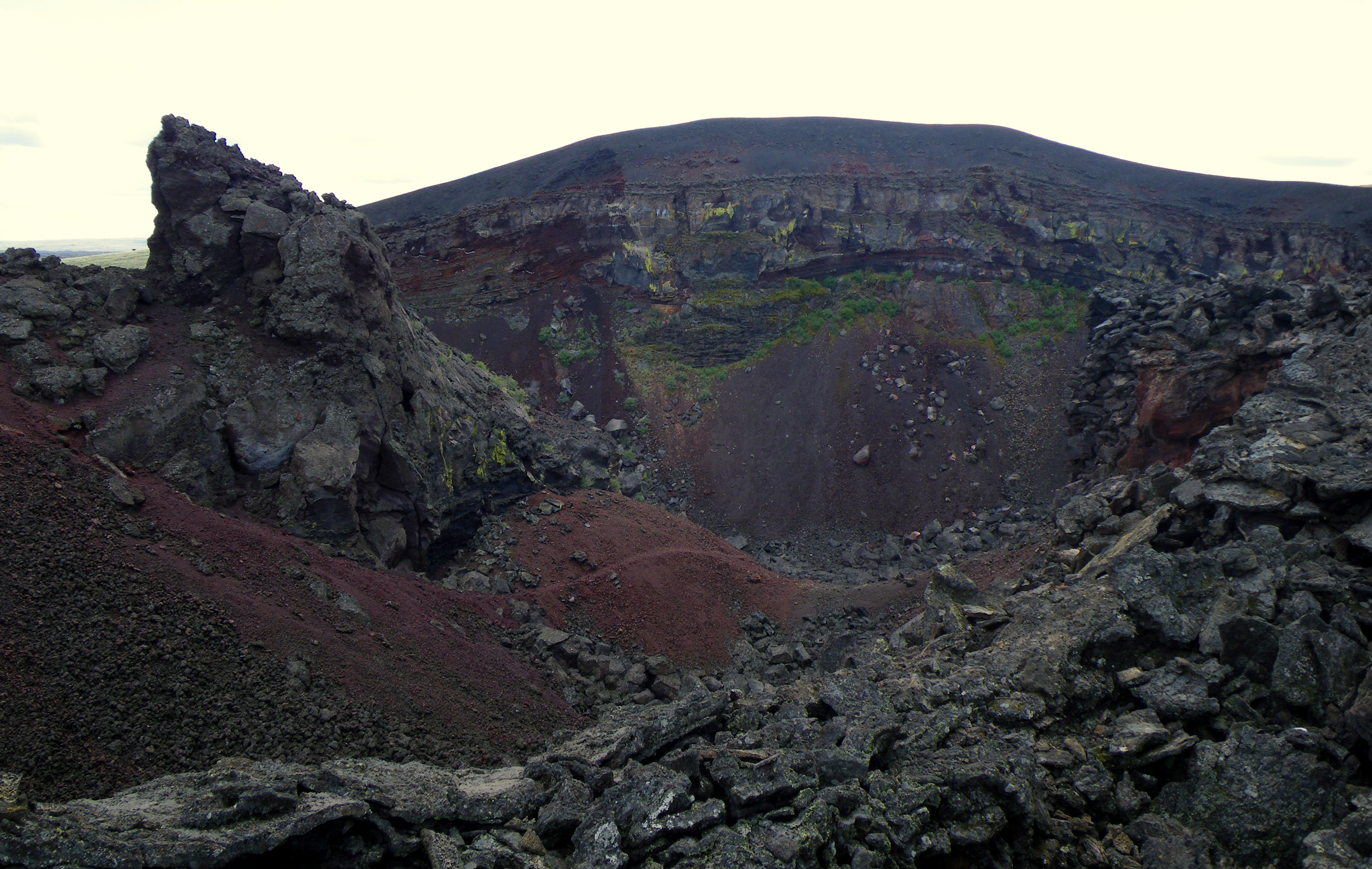
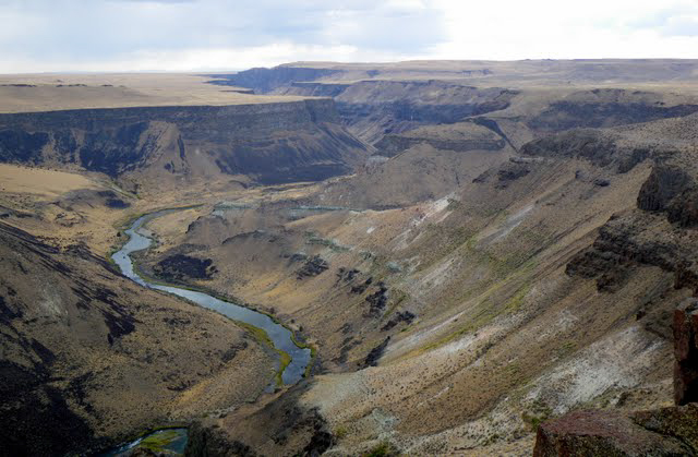
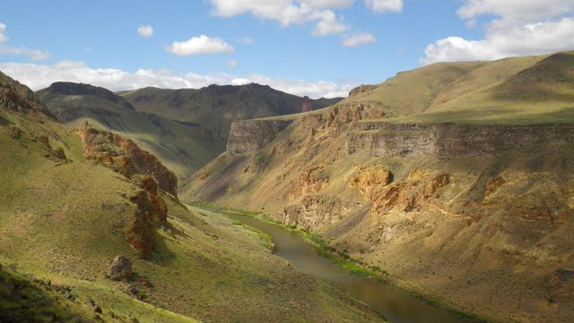
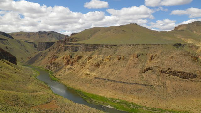
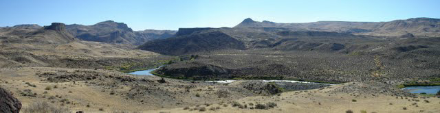
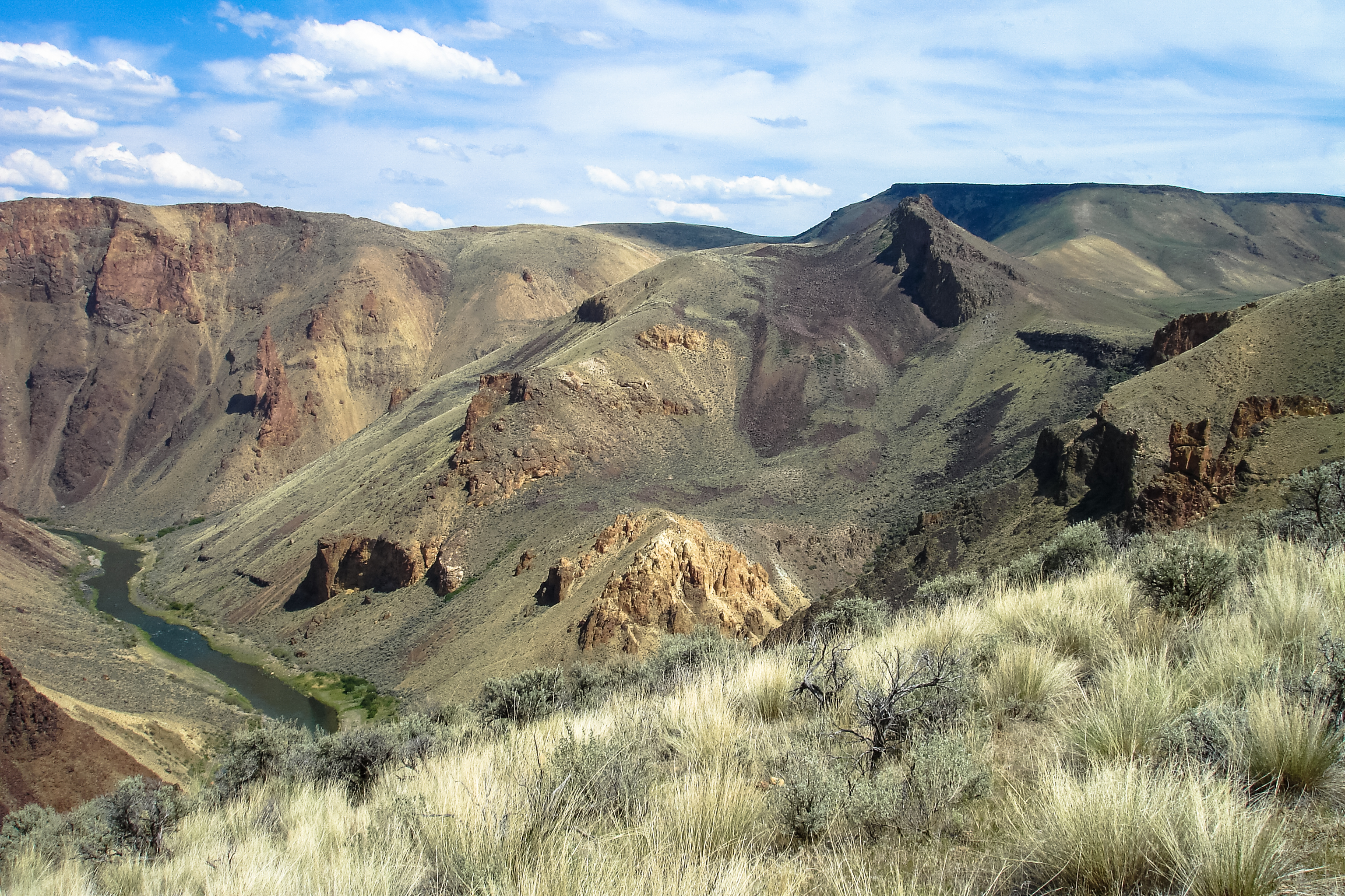
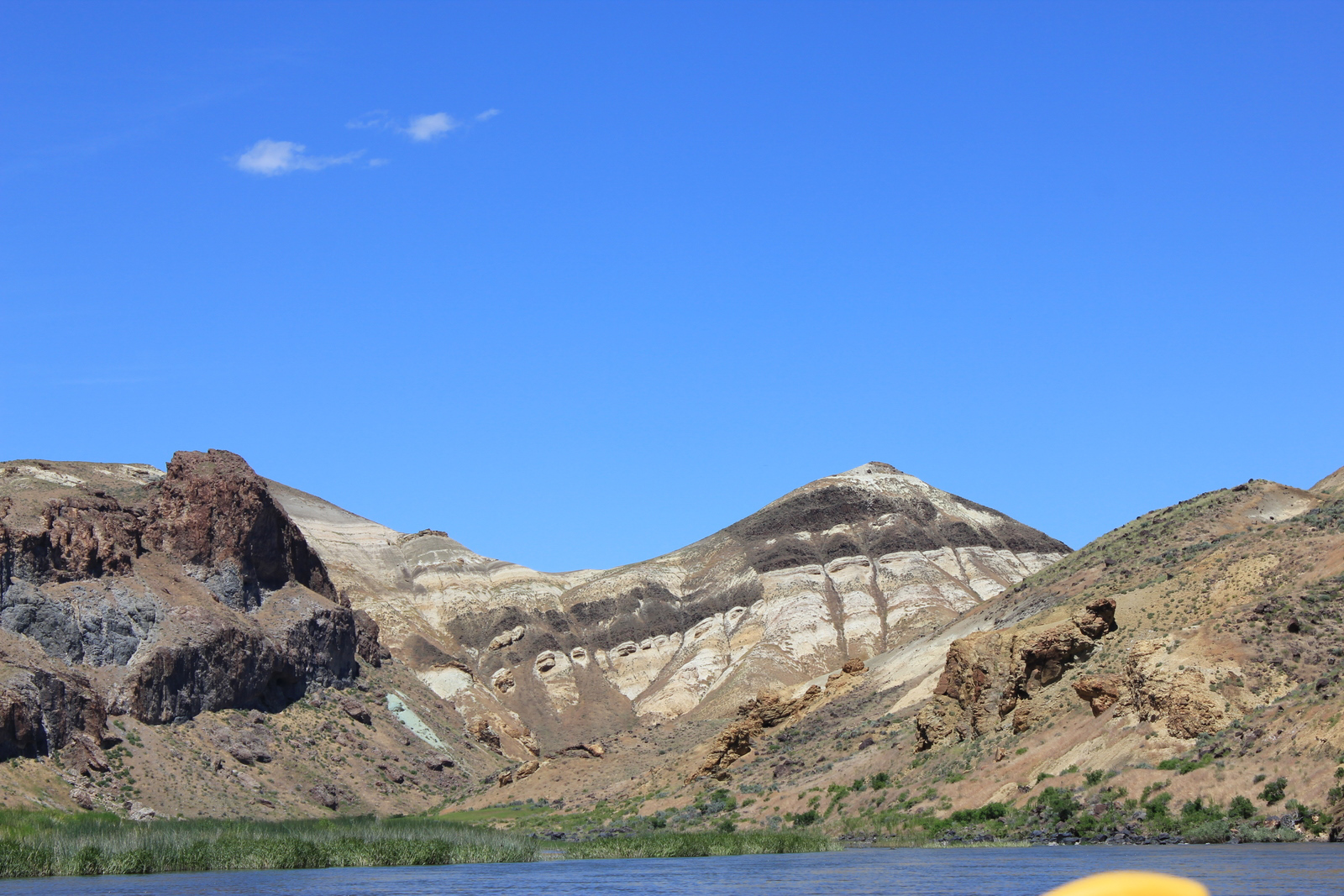
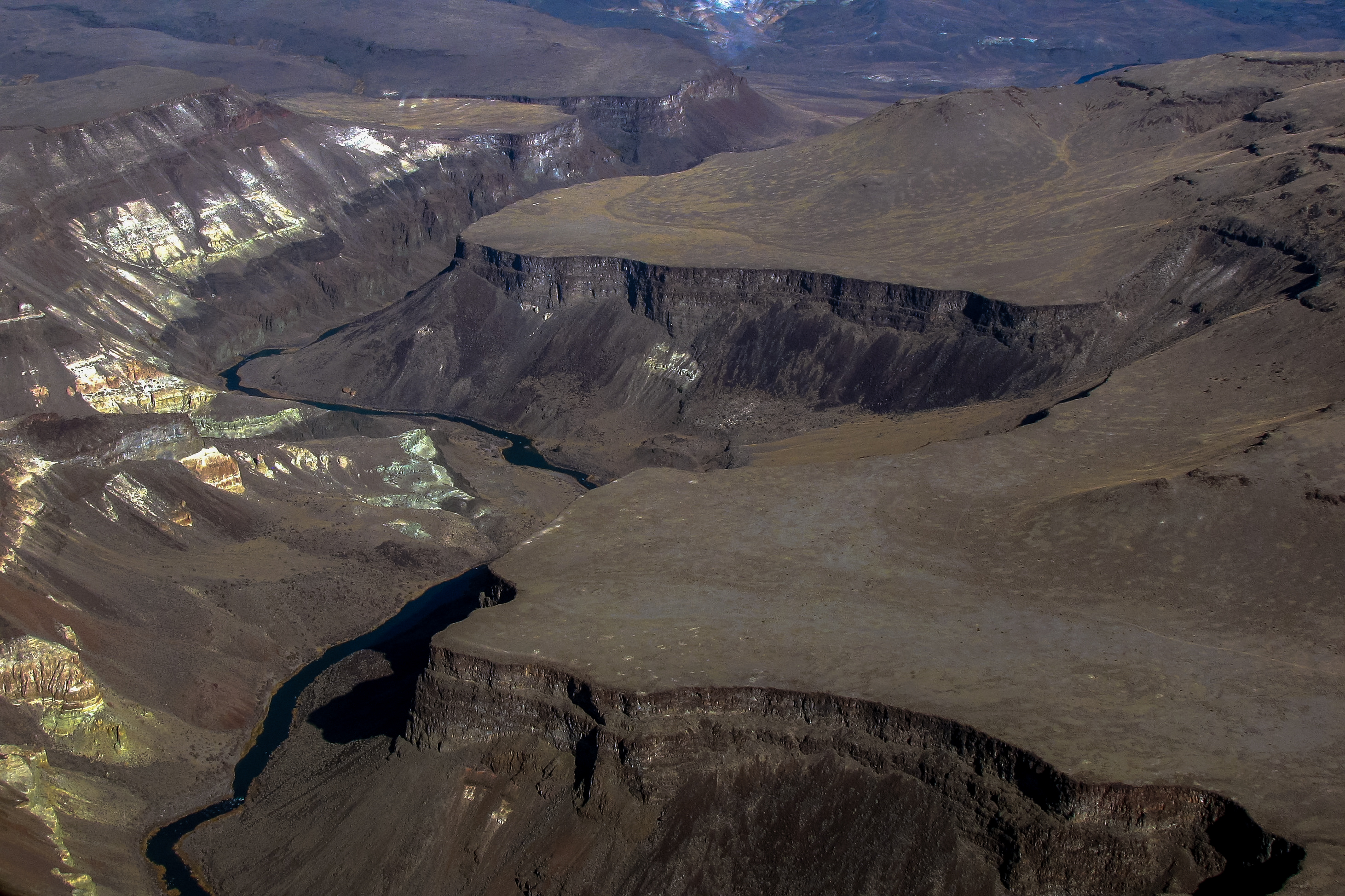
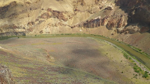
Related Photos:

IMGP1190.jpg
IMGP1190.jpg
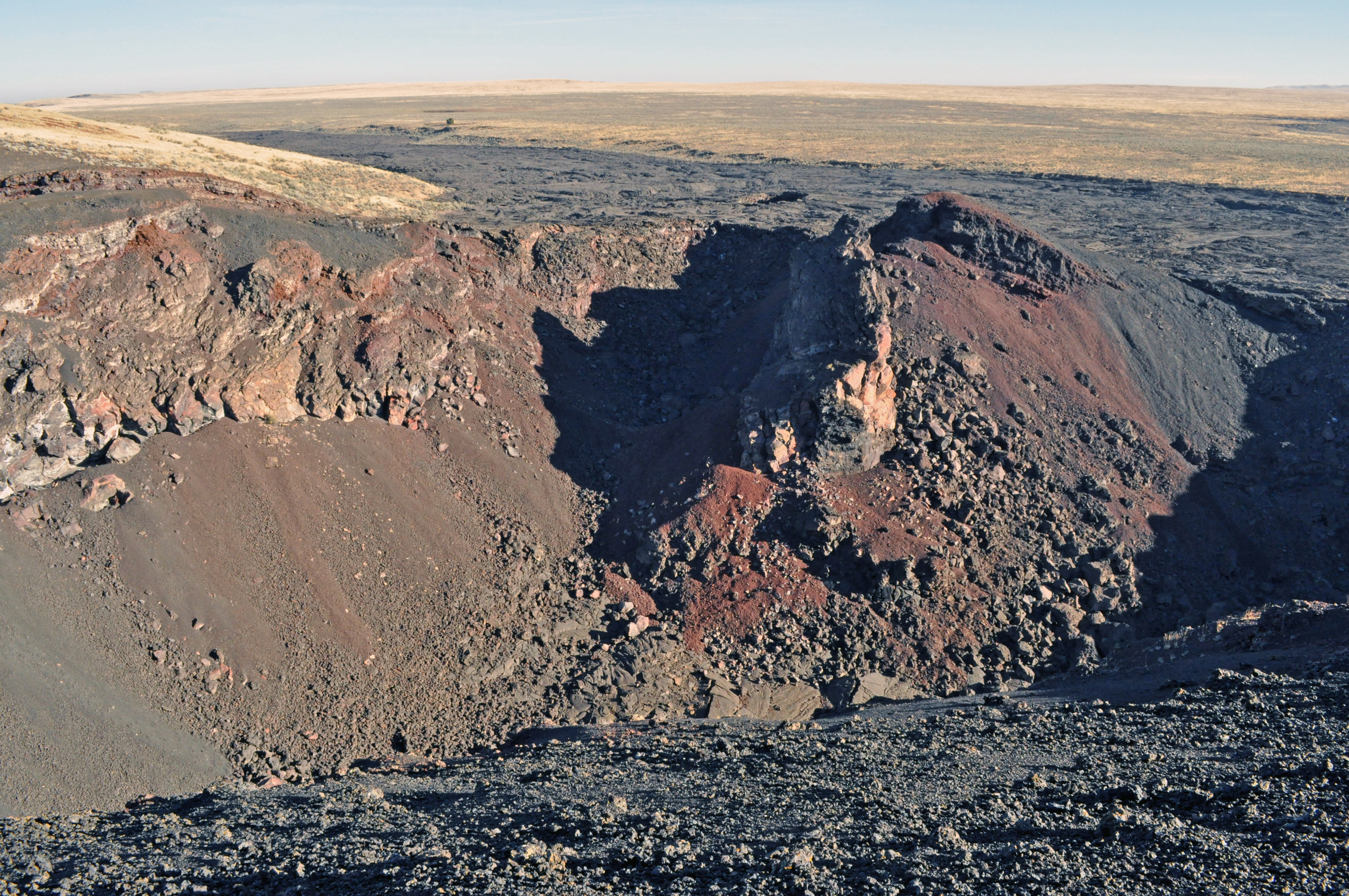
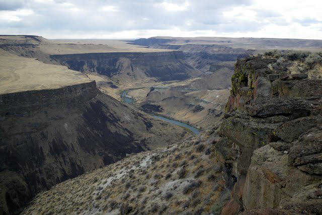
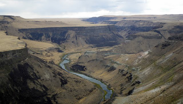
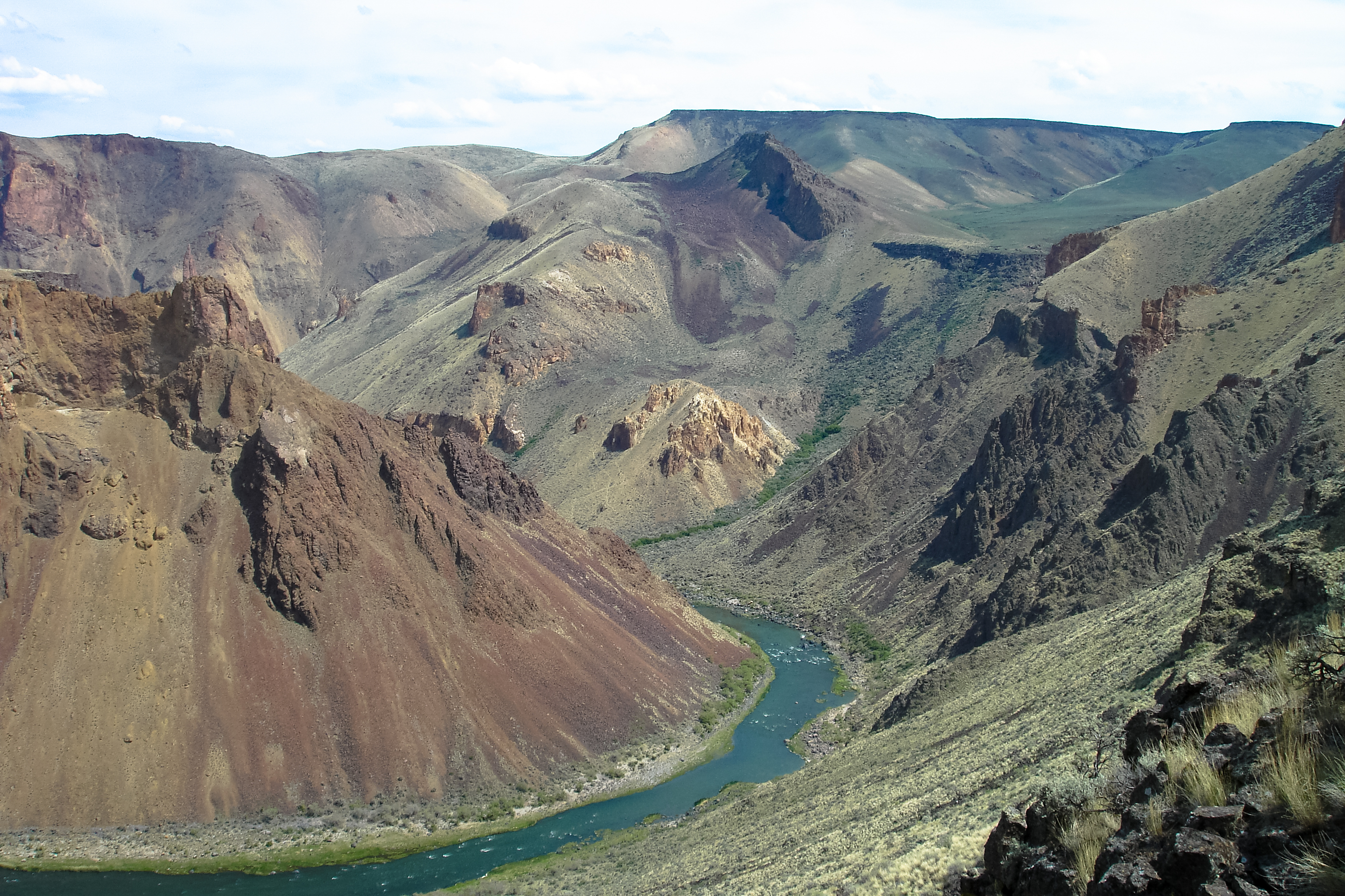
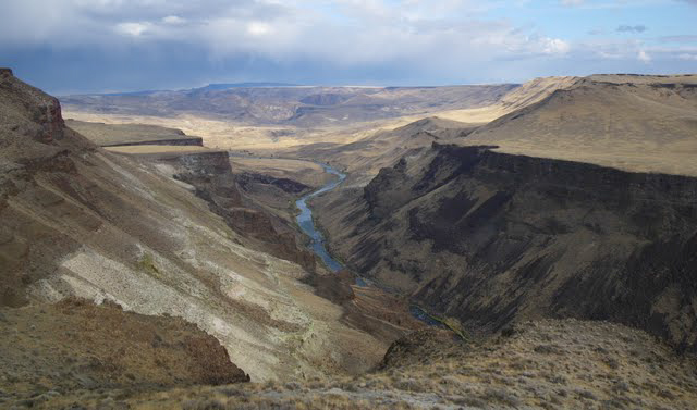
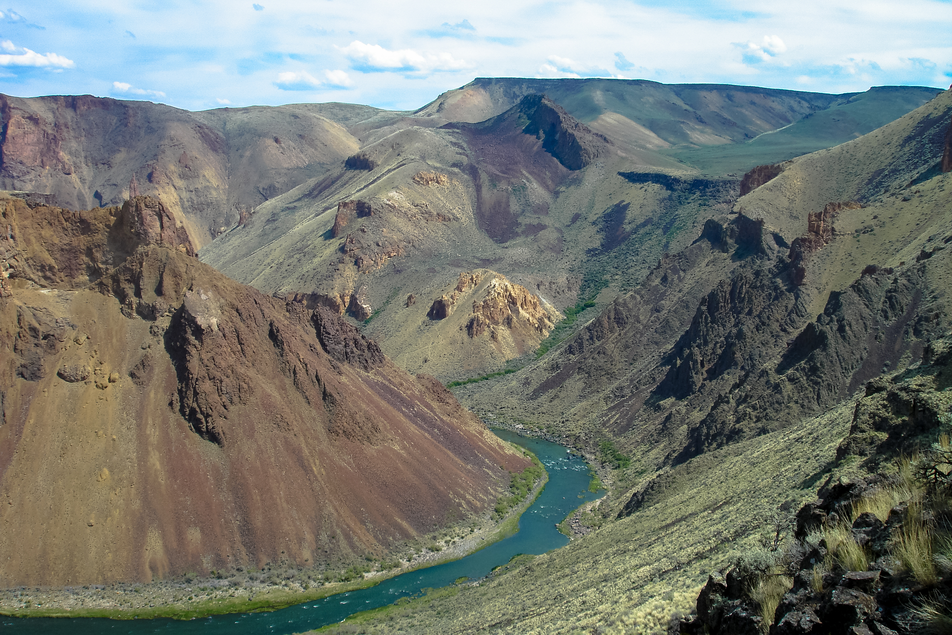
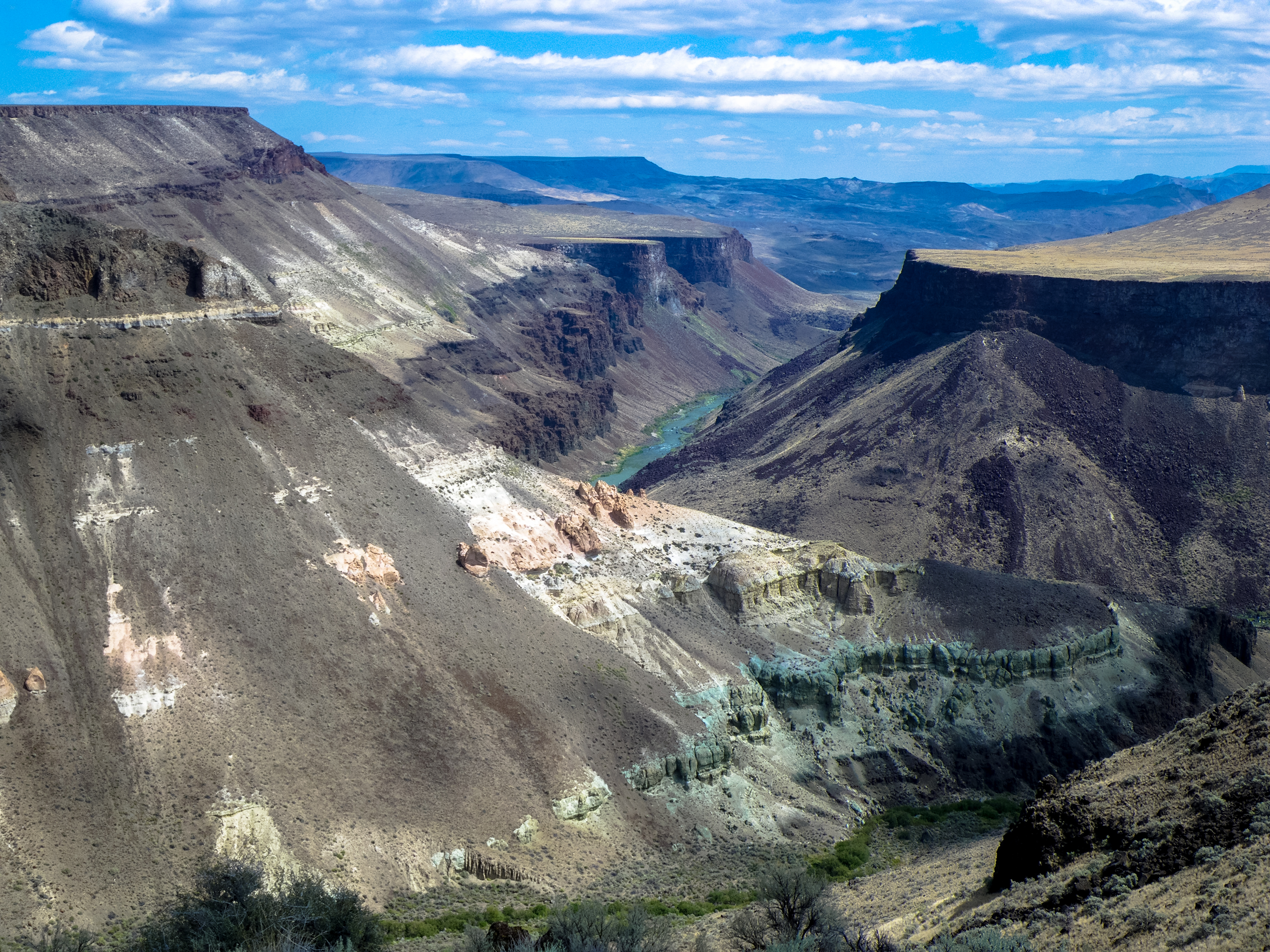
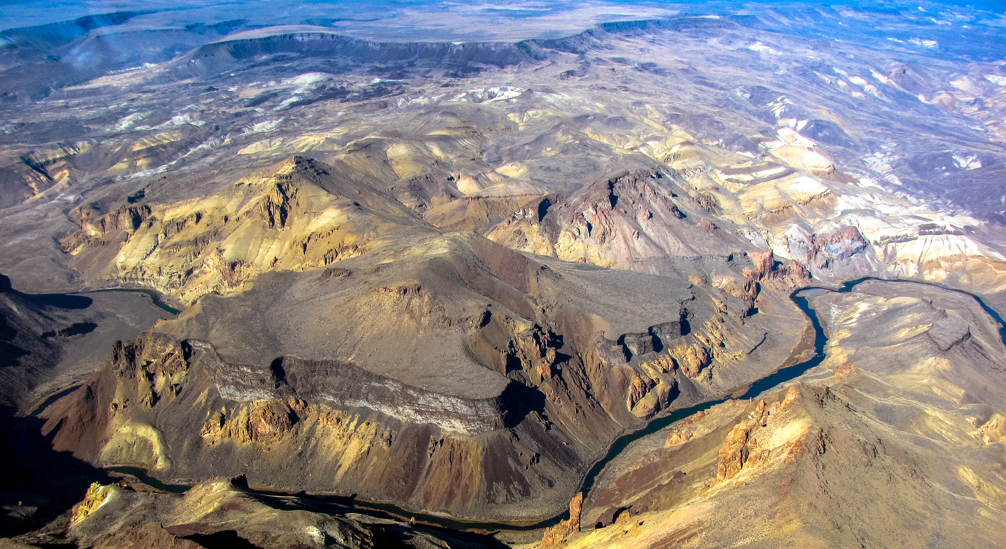
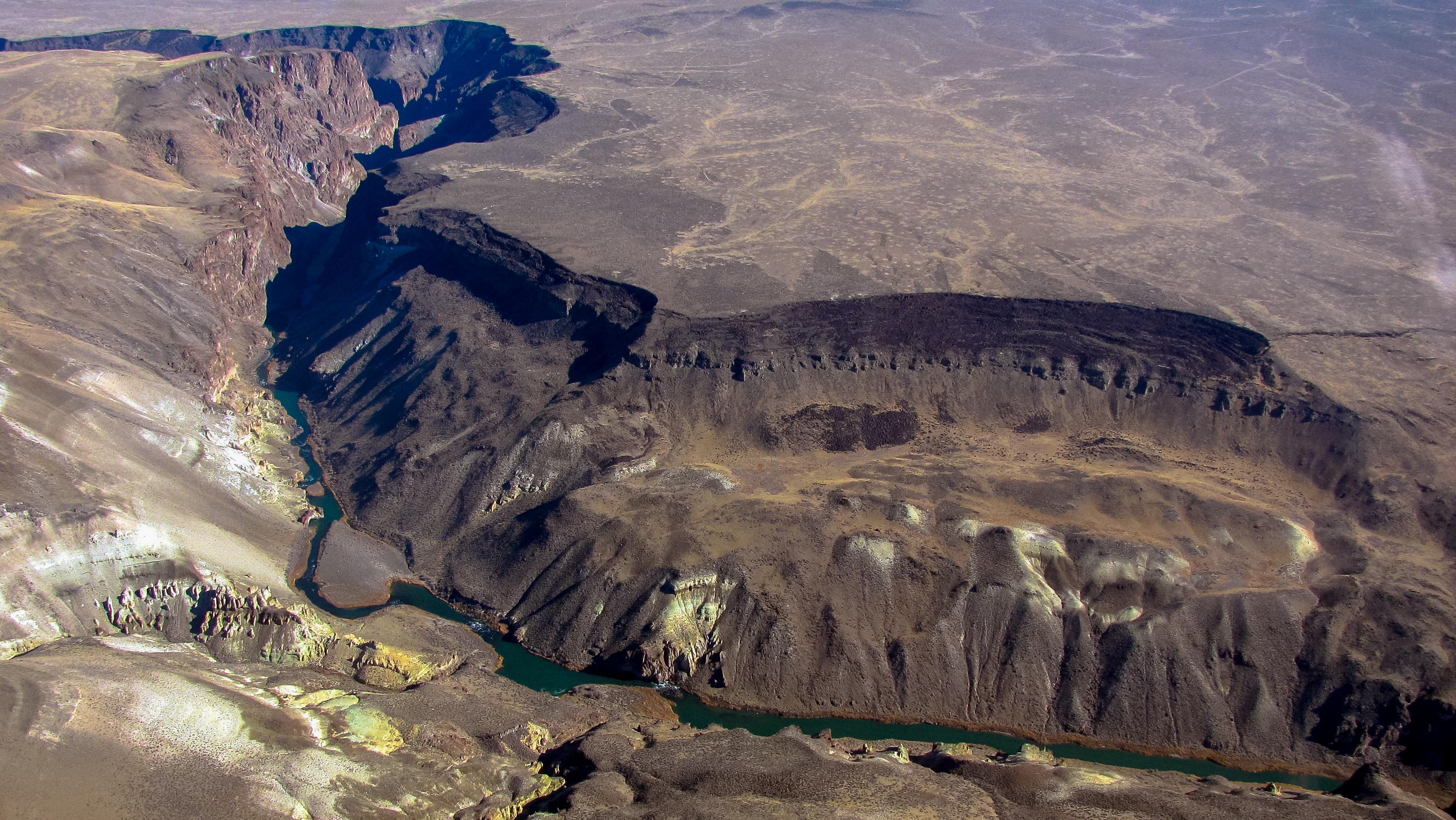
Coffeepot Crater, Oregon
20140914-P9141127.jpg
IMGP1194.jpg
IMGP0390.jpg
DSC00463.jpg
IMGP2924.jpg
IMGP1206.jpg
IMGP1195.jpg
IMGP1202.jpg

DSC00463.jpg

IMGP1198.jpg
DSC00487.jpg
IMGP1216.jpg

DSC00514.jpg
DSC00487.jpg

IMGP2924.jpg
IMGP0389.jpg
IMGP0399.jpg
Stitch4.jpg

2011_06_25_1816.jpg

2011_07_20_2480.jpg
IMGP3550.jpg
2011_06_26_1186.jpg

IMG_4675.jpg
2011_06_26_1186.jpg

IMGP3550.jpg

IMGP0270.jpg

IMGP0270.jpg
2011_06_25_1816.jpg
IMG_4675.jpg

IMG_4642.jpg
DSC00490.jpg
2011_06_26_1180.jpg
IMG_4654.jpg
IMG_4642.jpg
IMGP0277.jpg

IMG_4642.jpg
Topographic Map of Malheur County, OR, USA
Find elevation by address:

Places in Malheur County, OR, USA:
Ontario
Nyssa
Vale
Jordan Valley
4th St, Juntura, OR, USA
John Day Hwy, Brogan, OR, USA
1st St, Nyssa, OR, USA
Places near Malheur County, OR, USA:
Ontario, Or-id
Danner
US-95, Jordan Valley, OR, USA
Jordan Valley
Marsing
Owyhee View Lane
Silver City
Sunny Slope Rd, Caldwell, ID, USA
9362 Id-78
Recent Searches:
- Elevation of Corso Fratelli Cairoli, 35, Macerata MC, Italy
- Elevation of Tallevast Rd, Sarasota, FL, USA
- Elevation of 4th St E, Sonoma, CA, USA
- Elevation of Black Hollow Rd, Pennsdale, PA, USA
- Elevation of Oakland Ave, Williamsport, PA, USA
- Elevation of Pedrógão Grande, Portugal
- Elevation of Klee Dr, Martinsburg, WV, USA
- Elevation of Via Roma, Pieranica CR, Italy
- Elevation of Tavkvetili Mountain, Georgia
- Elevation of Hartfords Bluff Cir, Mt Pleasant, SC, USA