Elevation of 4th St, Juntura, OR, USA
Location: United States > Oregon > Malheur County >
Longitude: -118.07884
Latitude: 43.744127
Elevation: 902m / 2959feet
Barometric Pressure: 91KPa
Elevation Map:
Satellite Map:
Related Photos:
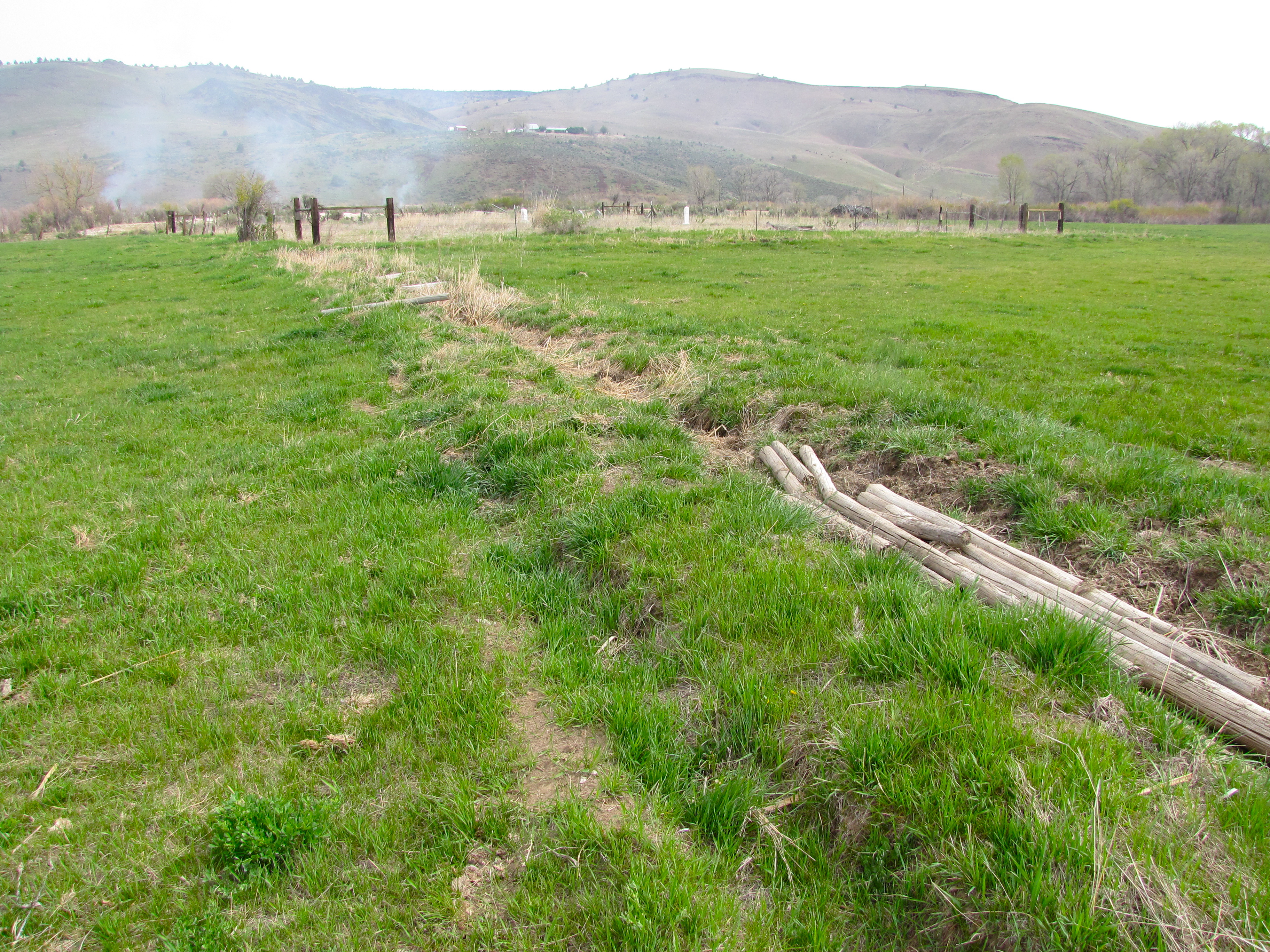
juntura pioneer cemetery 1888
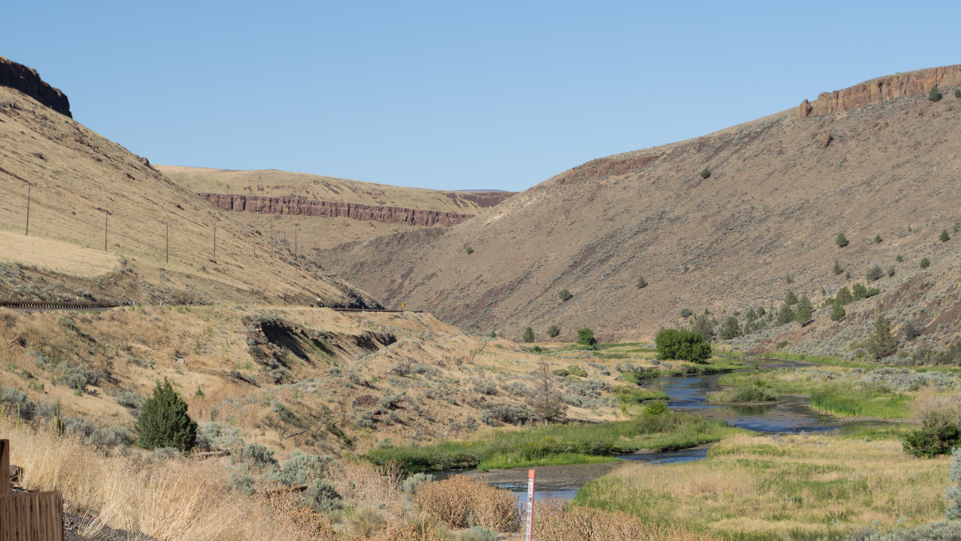
2009_07_18-11_14_22-IMG_0977
2009_07_18-11_22_20-IMG_0981
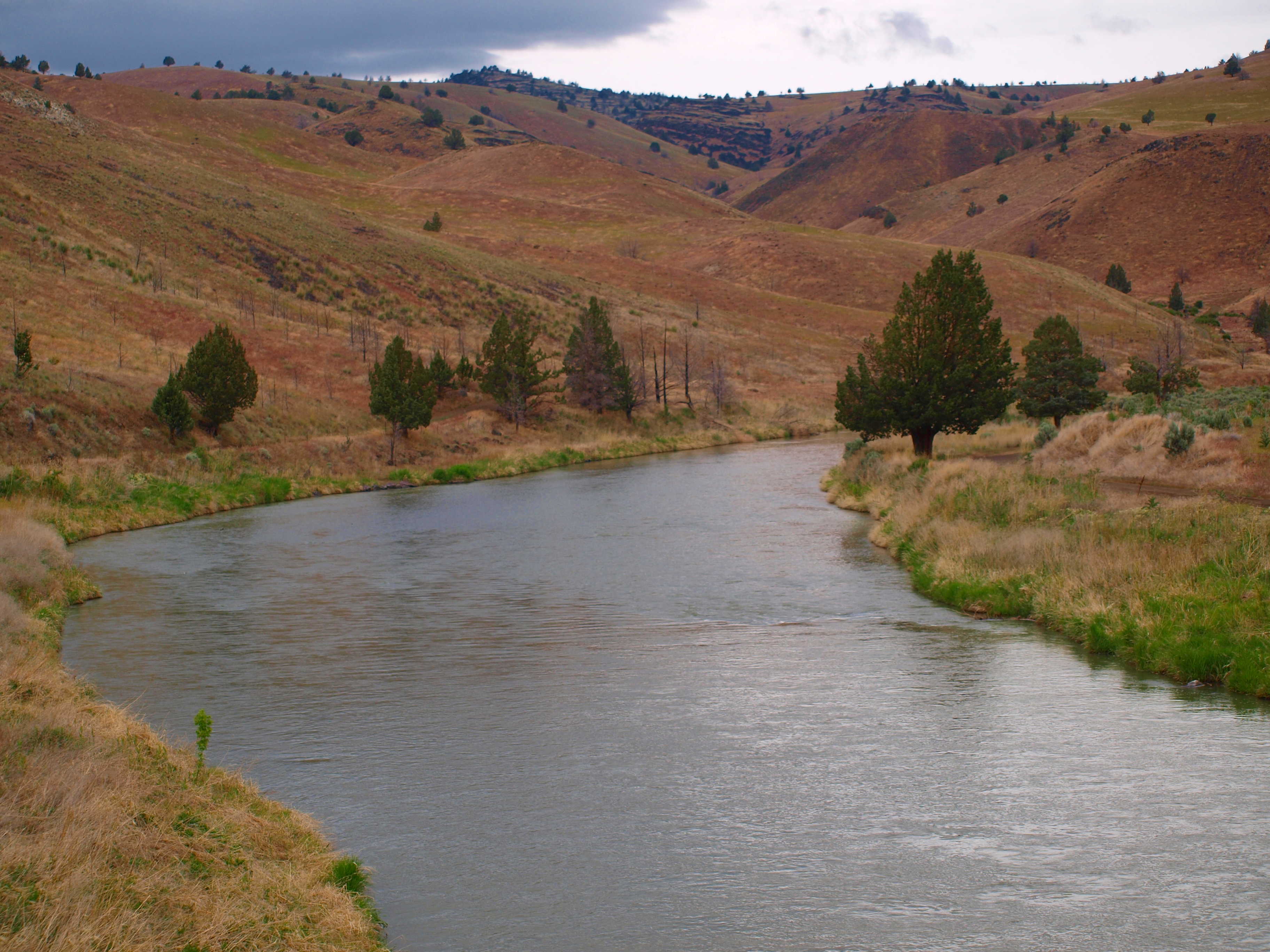
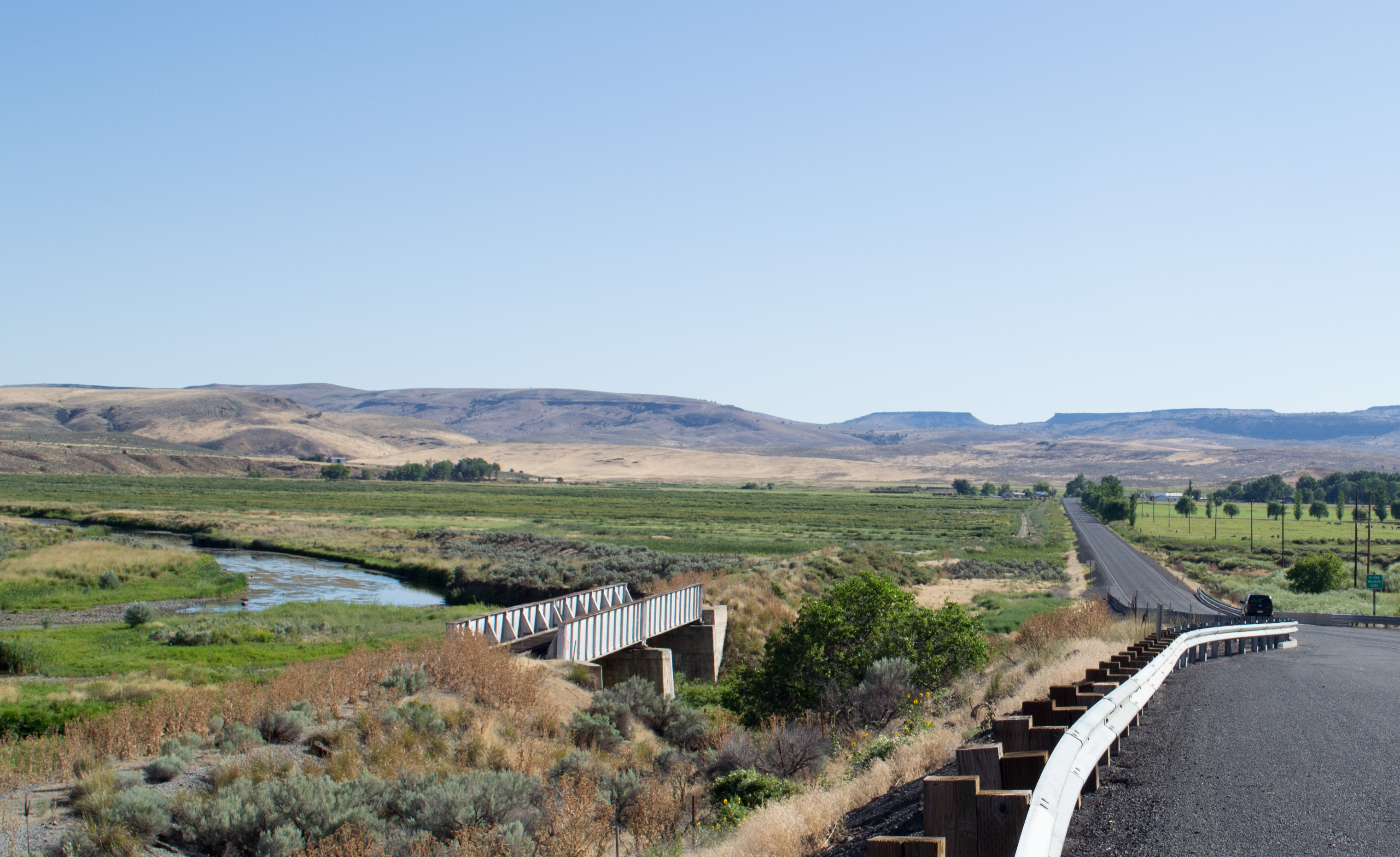
MALHEUR RIVER
Space Ireland
DSC04260.jpg
His blood will make you white as snow
Just the way we've always done it
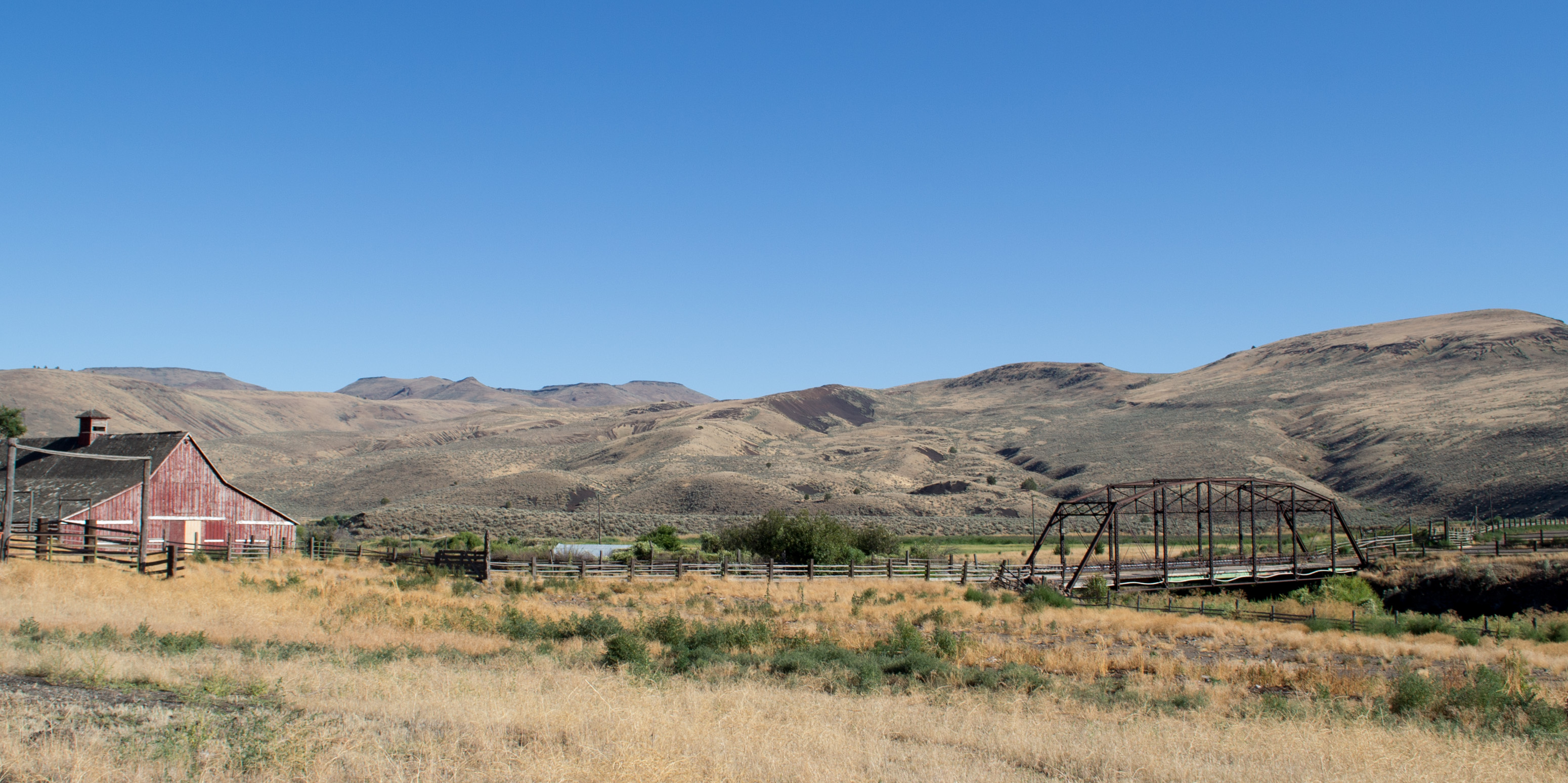
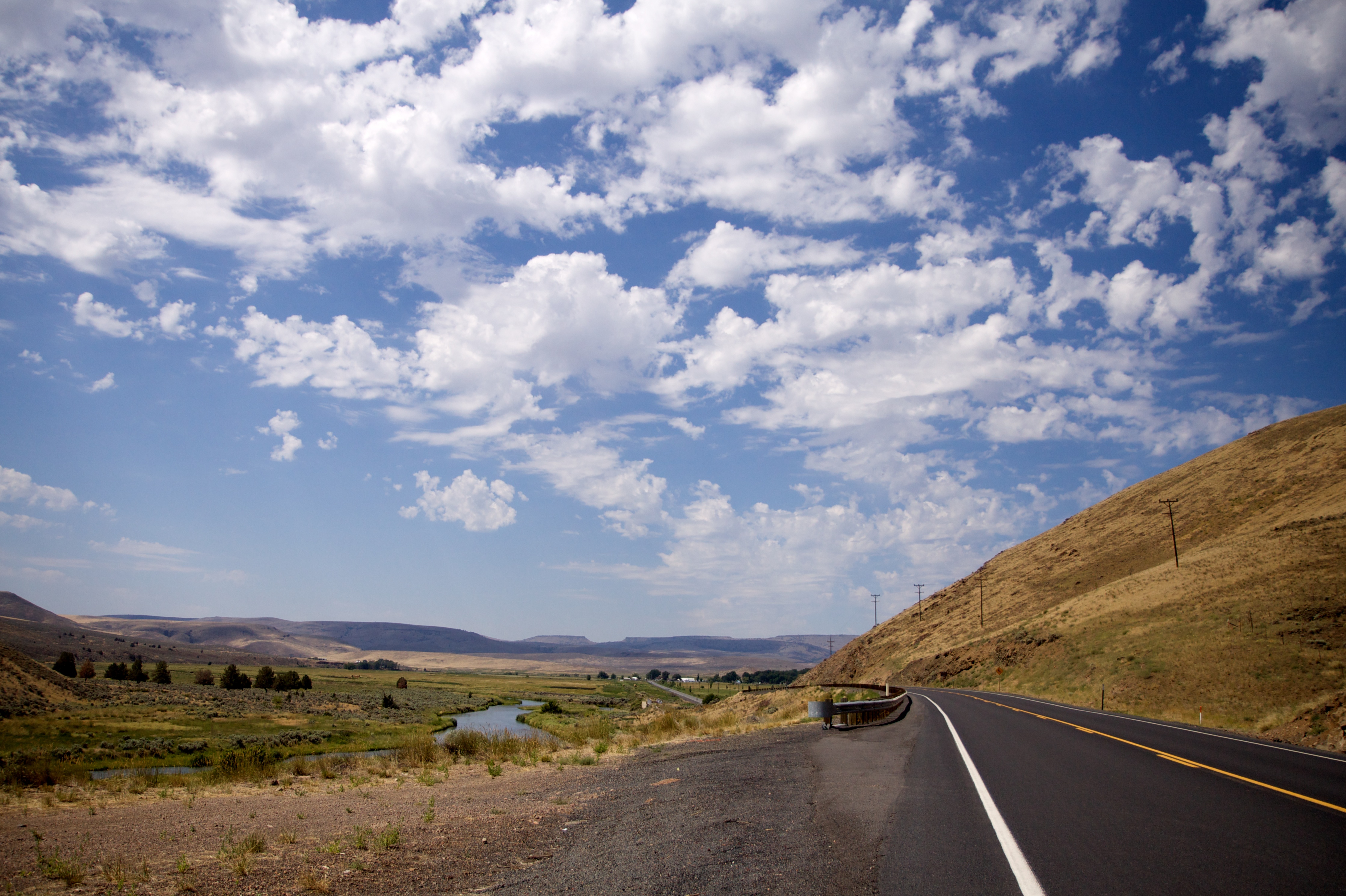
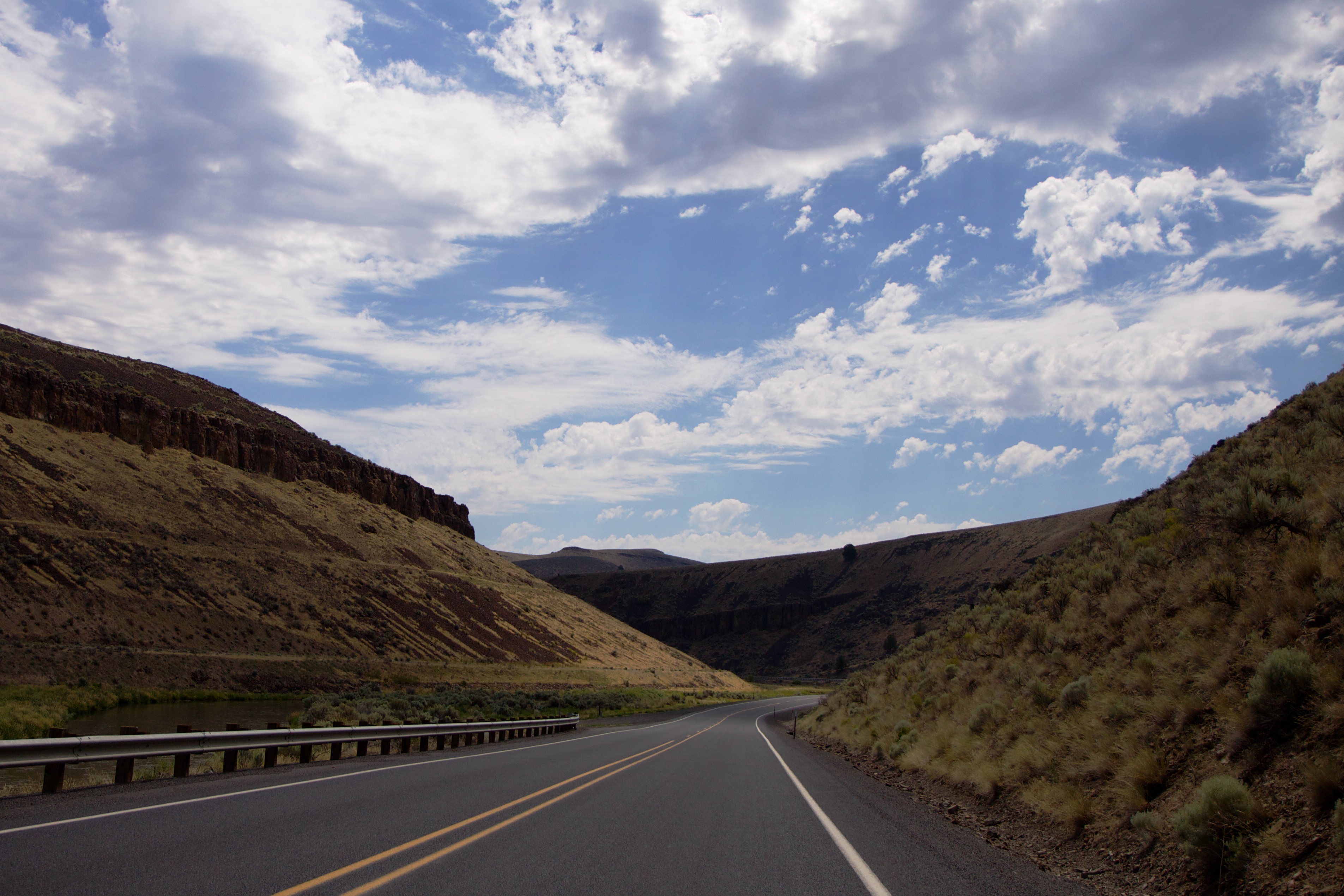
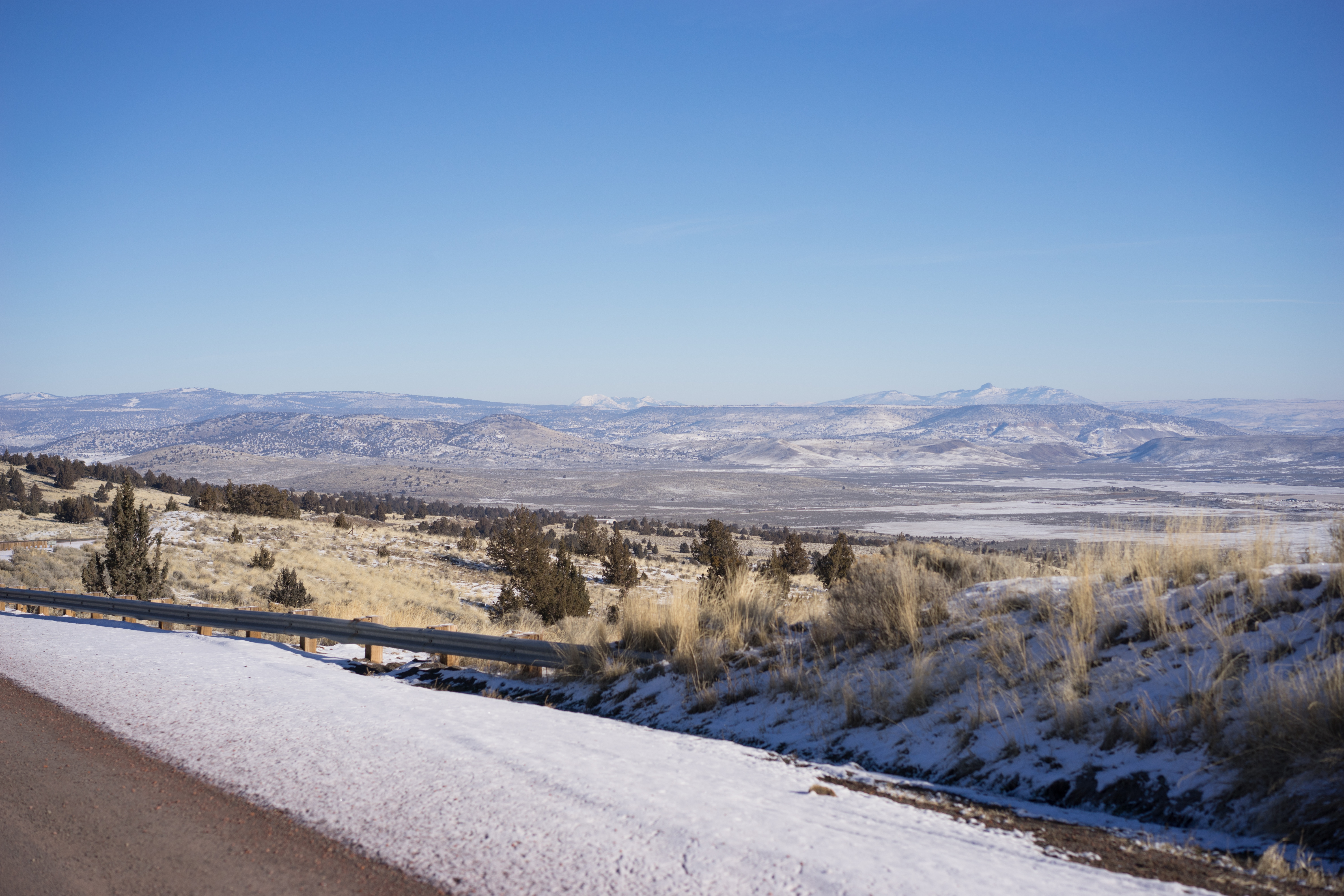
Juntura OR (#0108)
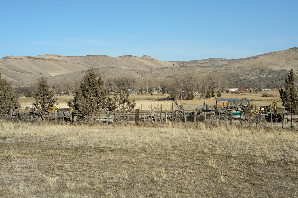
Juntura OR Oregon Eastern railroad (#0104)
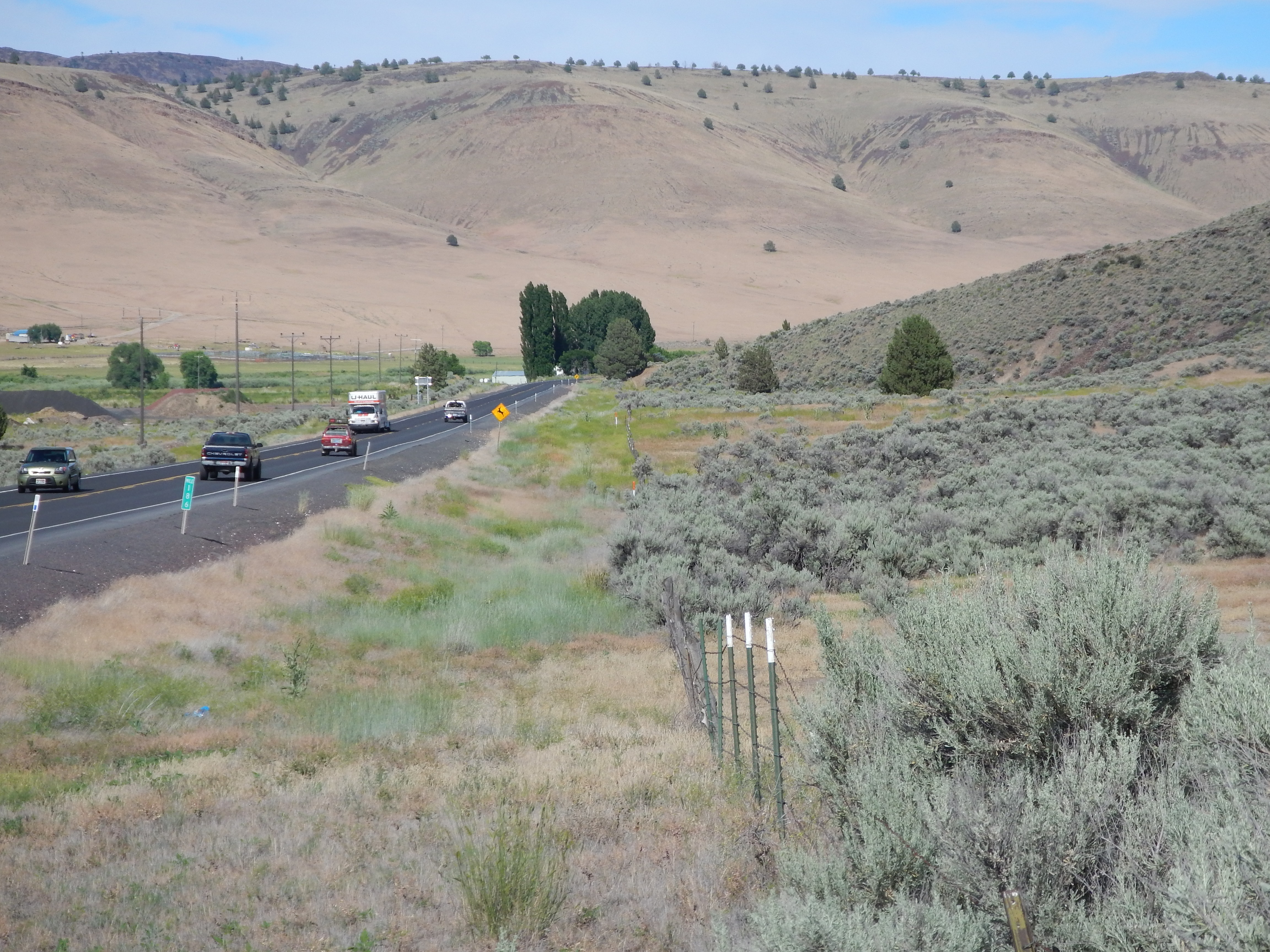
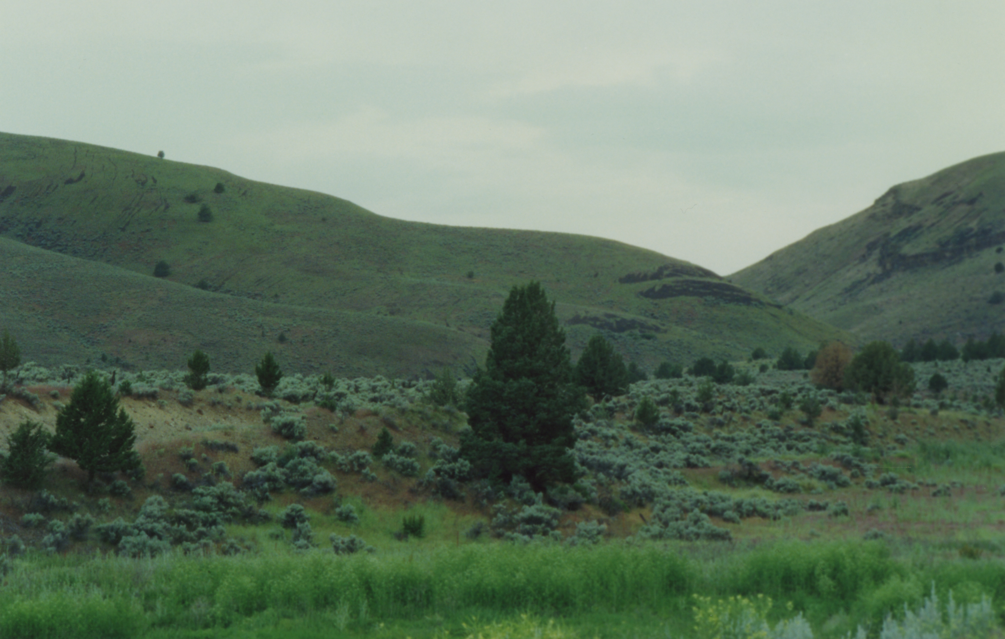
Sagebrush steppe in the region of Juntura, Oregon
Juntura OR (#0106)
Topographic Map of 4th St, Juntura, OR, USA
Find elevation by address:

Places near 4th St, Juntura, OR, USA:
Neal Hotsprings Us Geothermal
Bully Creek Reservoir
John Day Hwy, Brogan, OR, USA
Pioneer Ln, Huntington, OR, USA
4325 S Rd D
Vale
34717 Denny Creek Rd
Captain Keeney Pass
1319 Foothill Dr
1049 Grand Ave
2221 Kurtz Rd
1017 Mendiola Rd
Interstate 84
Adrian
1st St, Nyssa, OR, USA
Huntington
Farewell Bend
Dixie
2244 Kingman Rd
33060 Shirttail Creek Rd
Recent Searches:
- Elevation of Corso Fratelli Cairoli, 35, Macerata MC, Italy
- Elevation of Tallevast Rd, Sarasota, FL, USA
- Elevation of 4th St E, Sonoma, CA, USA
- Elevation of Black Hollow Rd, Pennsdale, PA, USA
- Elevation of Oakland Ave, Williamsport, PA, USA
- Elevation of Pedrógão Grande, Portugal
- Elevation of Klee Dr, Martinsburg, WV, USA
- Elevation of Via Roma, Pieranica CR, Italy
- Elevation of Tavkvetili Mountain, Georgia
- Elevation of Hartfords Bluff Cir, Mt Pleasant, SC, USA