Elevation of Jordan Valley, OR, USA
Location: United States > Oregon > Malheur County >
Longitude: -117.05430
Latitude: 42.9740445
Elevation: 1335m / 4380feet
Barometric Pressure: 86KPa
Elevation Map:
Satellite Map:
Related Photos:

Sheaville Shack
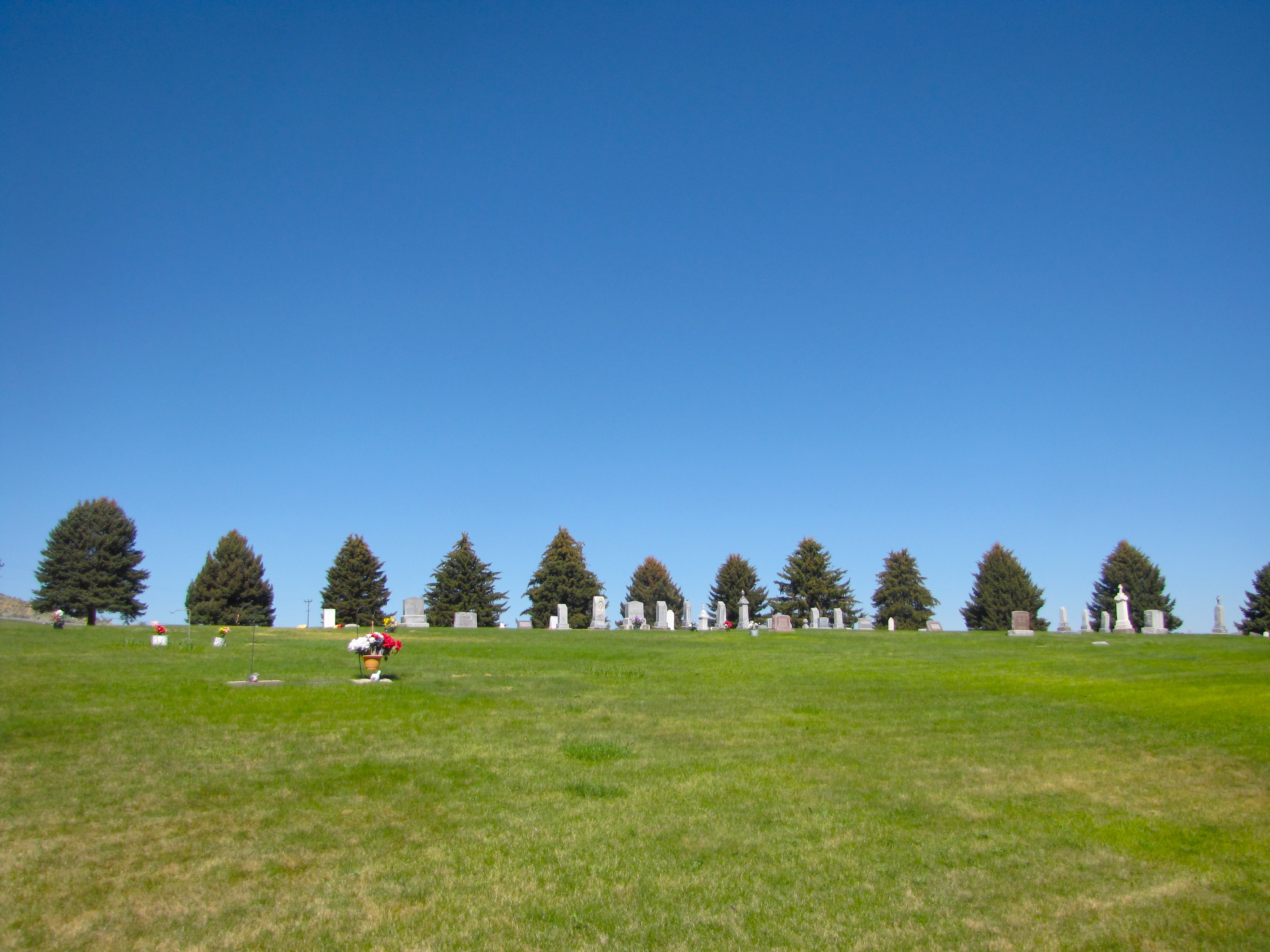
jordan valley cemetery
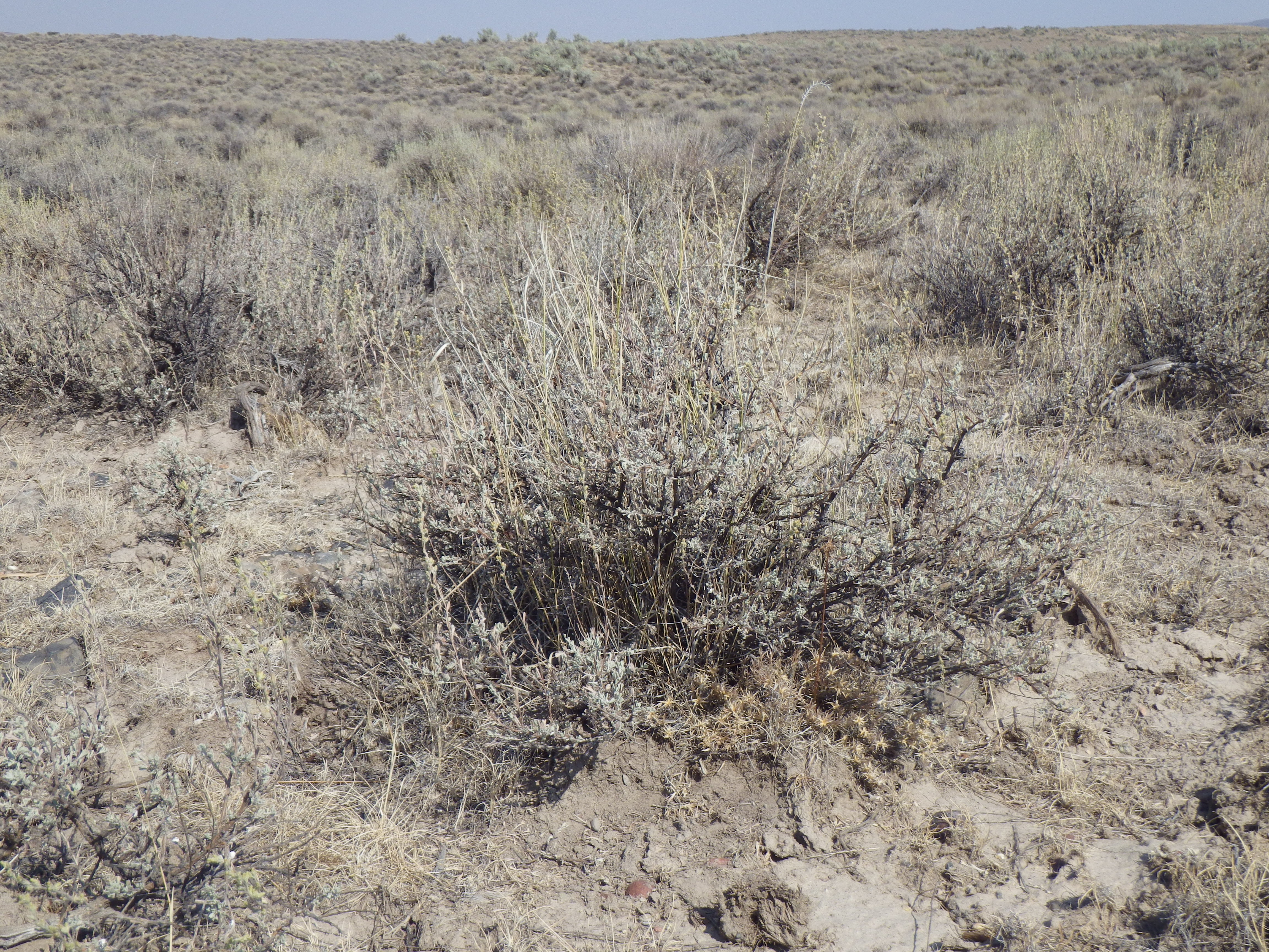
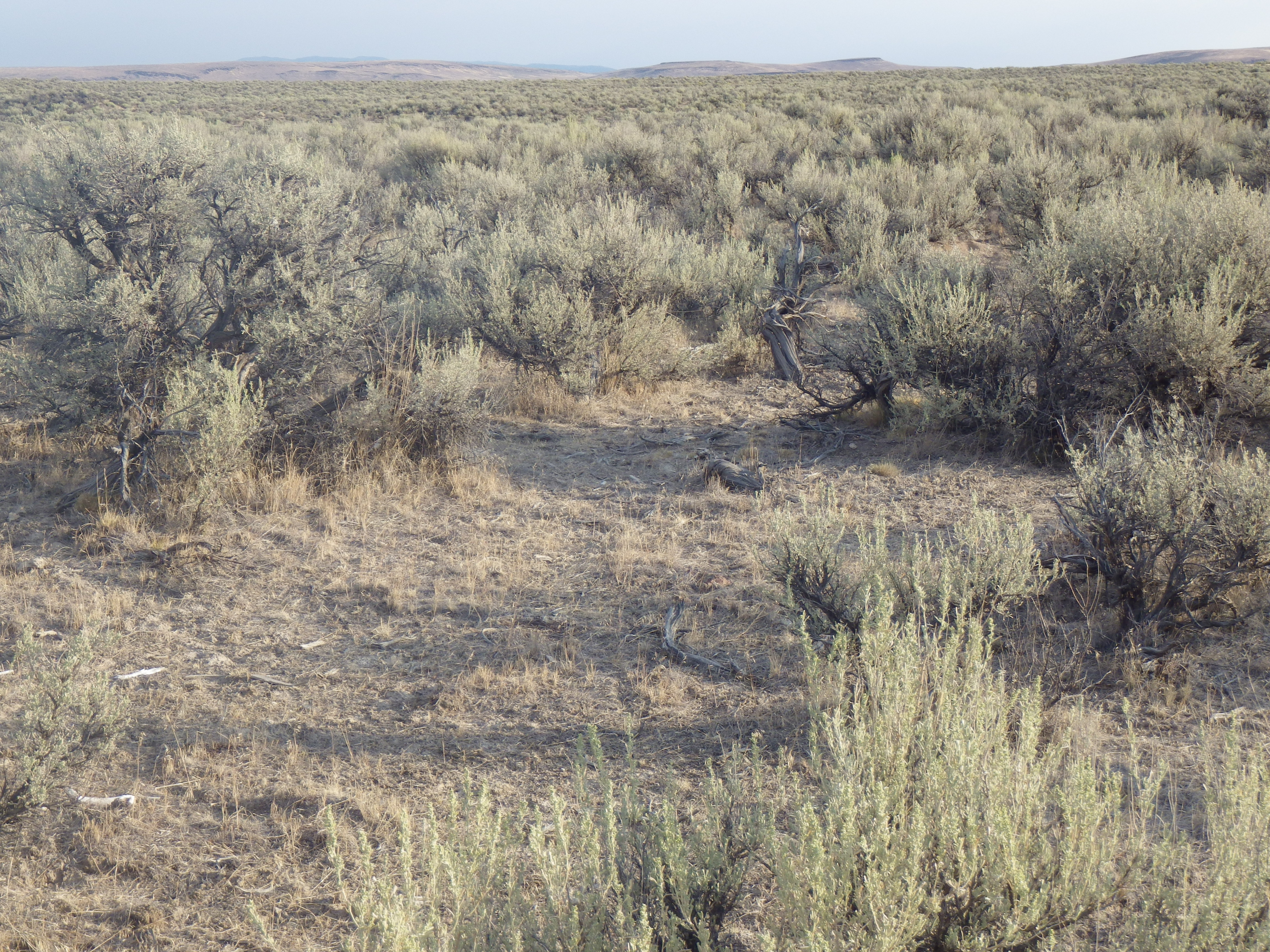
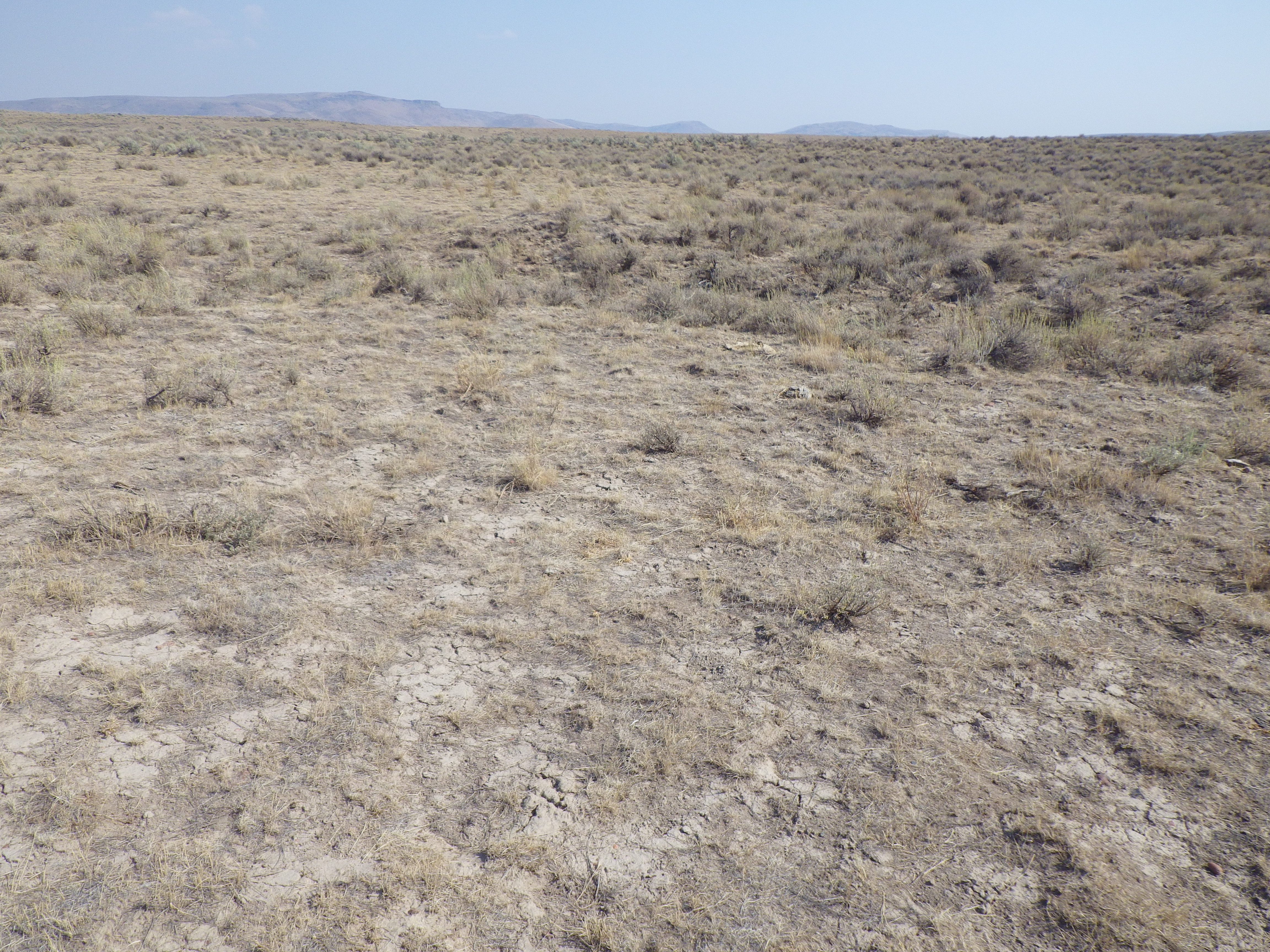
North of Jordan Valley: sagebrush steppe

North of Jordan Valley: sagebrush steppe
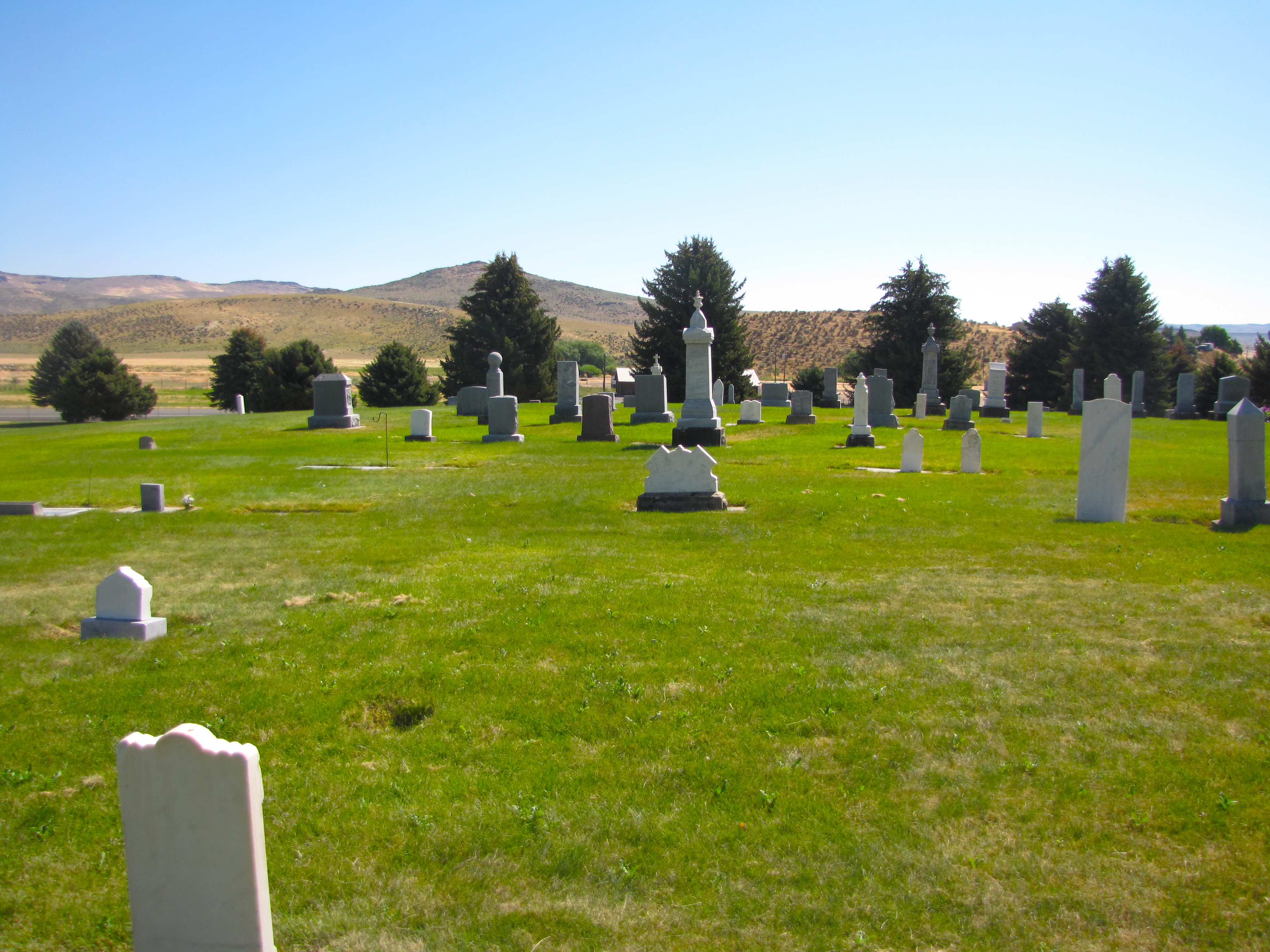
jordan valley cemetery
Owyhee Uplands Back Country Byway: Wyoming big sagebrush steppe

A few horses

High water
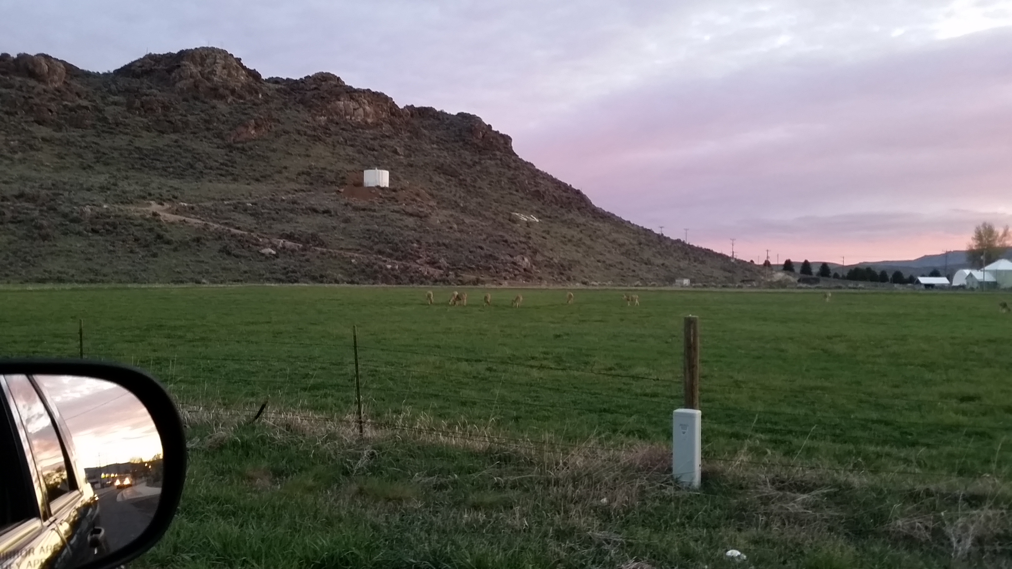
Deer in Jordan Valley Oregon.
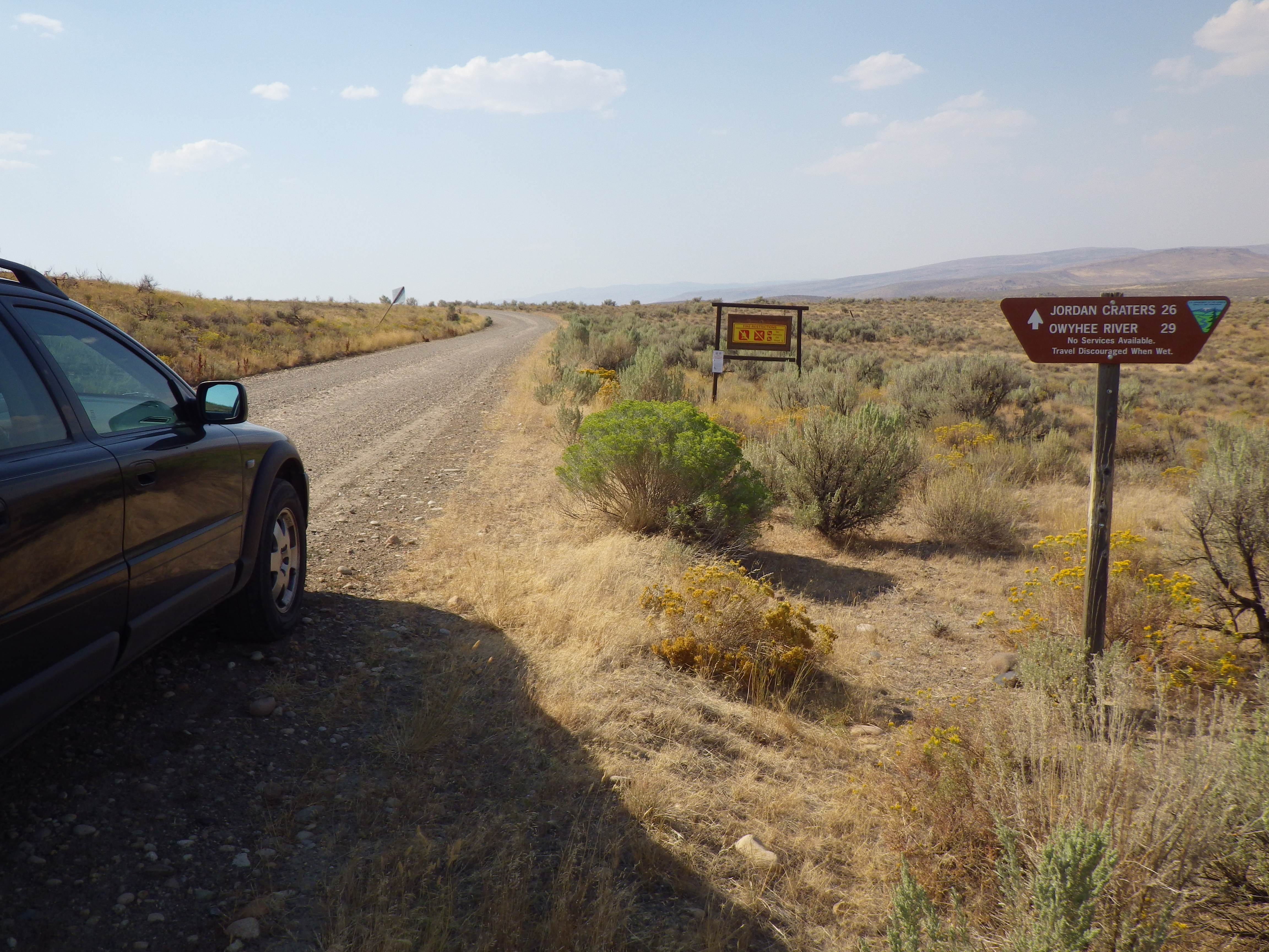
Jordan Valley to Burns Junction: Wyoming big sagebrush steppe near the Antelope Canal Road

Jordan Valley to Burns Junction: Wyoming big sagebrush steppe near the Antelope Canal Road

New speed limit on I-95
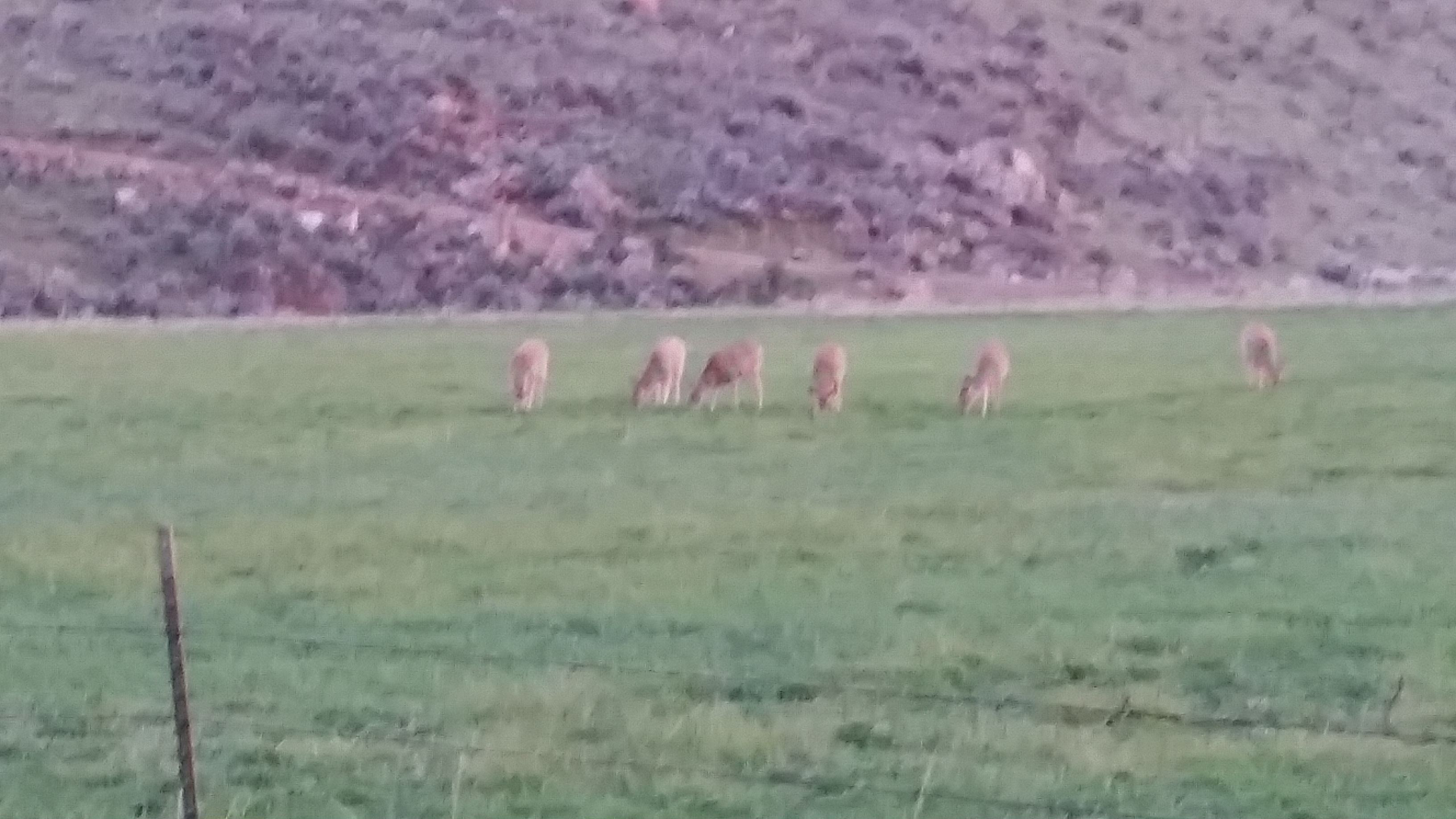
Deer in Jordan Valley Oregon.
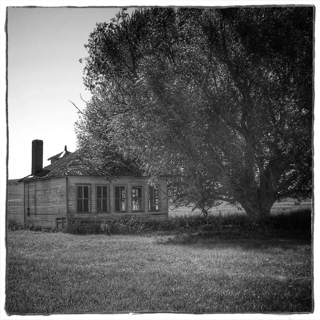
On the way to Boise as we pass through Jordan Valley, OR, we see this little house nestled under a giant oak. #abandonedhouse #oaktree #blackandwhite #coolpixl11 #editedoniphone6 #nikon COOLPIX L11 Focal Length: 37mm (35mm eq.) Aperture: f/5.6 Exposure: 1

This was shot in 2013 with a #nikon #coolpixs6500 in #jordanvalleyoregon. #roadside #roadtrip #oregon I uploaded it to my #iphone6 and edited it using #aviaryapp

A picture I took almost 3 years ago in #jordanvalleyoregon #vintageneon #motel #oregon #googie

Descent to Jordan Creek

Flower stop
North of Jordan Valley: sagebrush steppe

North of Jordan Valley: sagebrush steppe
North of Jordan Valley: sagebrush steppe
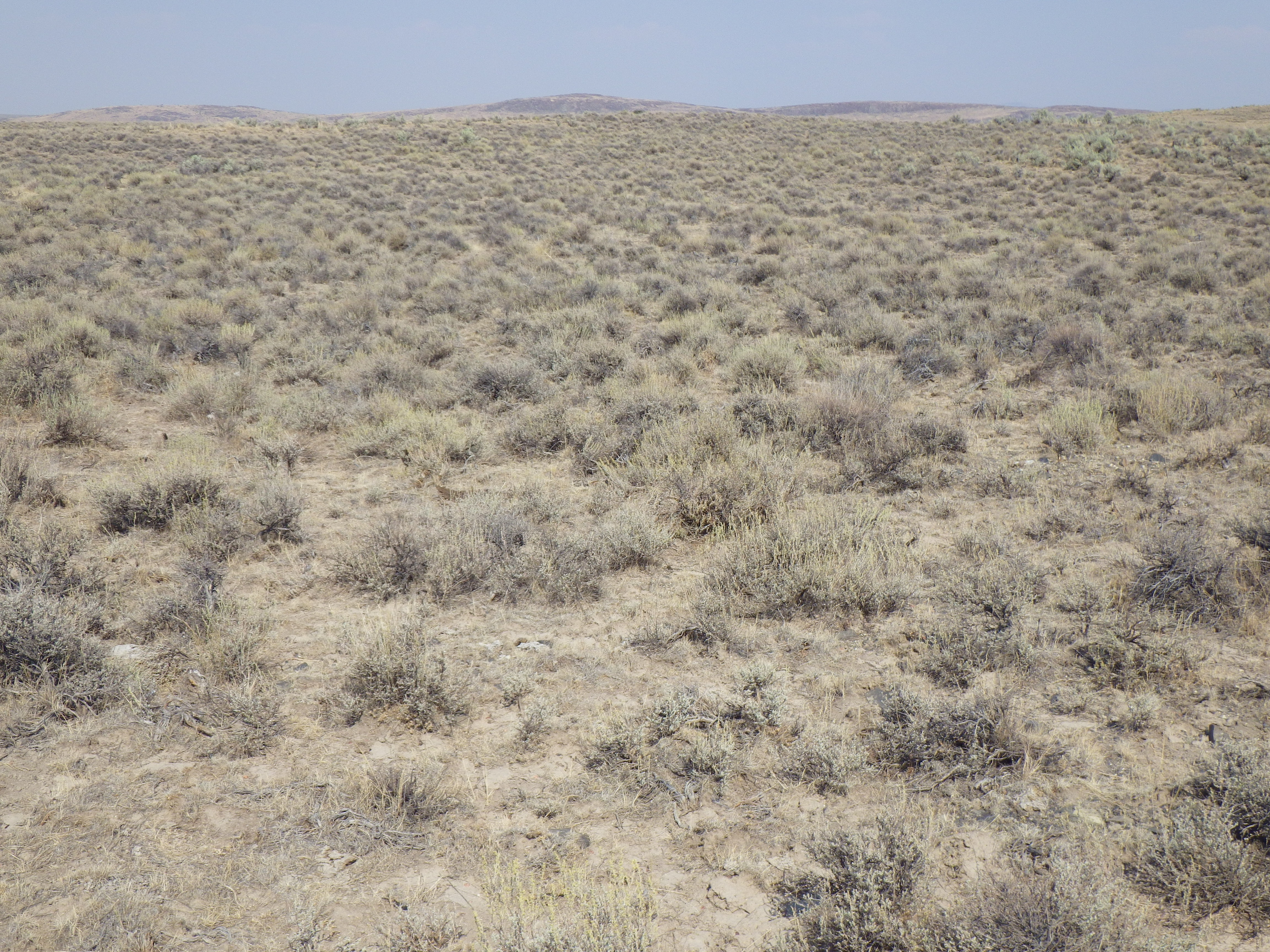
North of Jordan Valley: sagebrush steppe
Owyhee Uplands Back Country Byway: Wyoming big sagebrush steppe
Topographic Map of Jordan Valley, OR, USA
Find elevation by address:

Places in Jordan Valley, OR, USA:
Places near Jordan Valley, OR, USA:
US-95, Jordan Valley, OR, USA
Danner
Silver City
9362 Id-78
Owyhee View Lane
Ontario, Or-id
Malheur County
Marsing
Sunny Slope Rd, Caldwell, ID, USA
Recent Searches:
- Elevation of Corso Fratelli Cairoli, 35, Macerata MC, Italy
- Elevation of Tallevast Rd, Sarasota, FL, USA
- Elevation of 4th St E, Sonoma, CA, USA
- Elevation of Black Hollow Rd, Pennsdale, PA, USA
- Elevation of Oakland Ave, Williamsport, PA, USA
- Elevation of Pedrógão Grande, Portugal
- Elevation of Klee Dr, Martinsburg, WV, USA
- Elevation of Via Roma, Pieranica CR, Italy
- Elevation of Tavkvetili Mountain, Georgia
- Elevation of Hartfords Bluff Cir, Mt Pleasant, SC, USA