Elevation of Silver City, ID, USA
Location: United States > Idaho > Owyhee County >
Longitude: -116.73318
Latitude: 43.0168263
Elevation: 1882m / 6175feet
Barometric Pressure: 81KPa
Elevation Map:
Satellite Map:
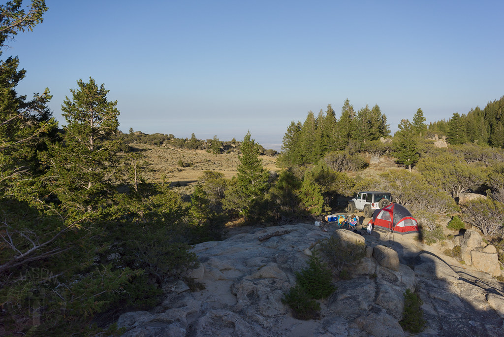
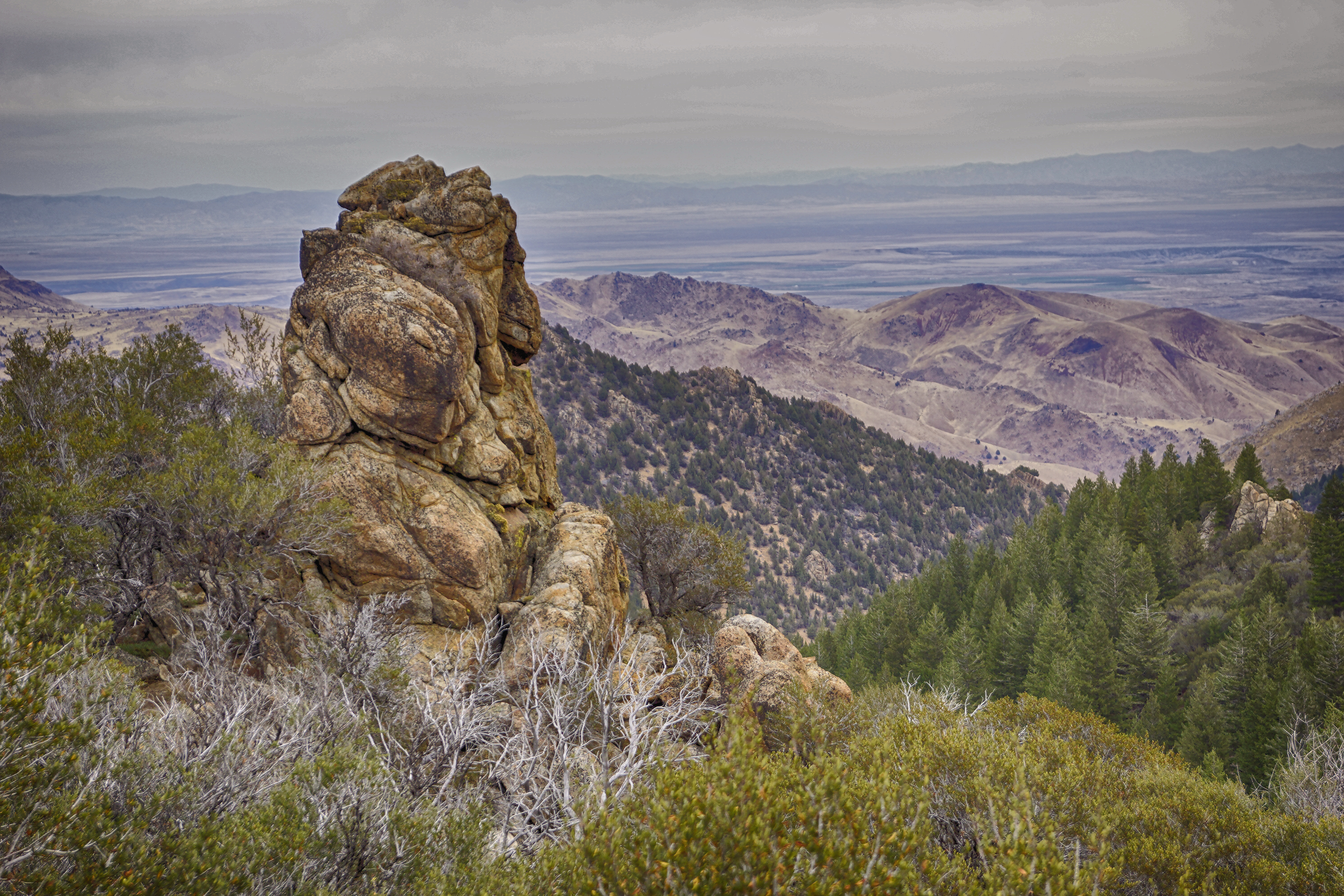
Related Photos:
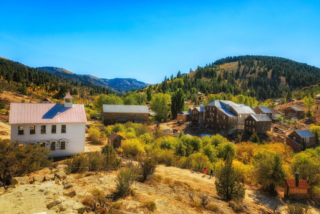
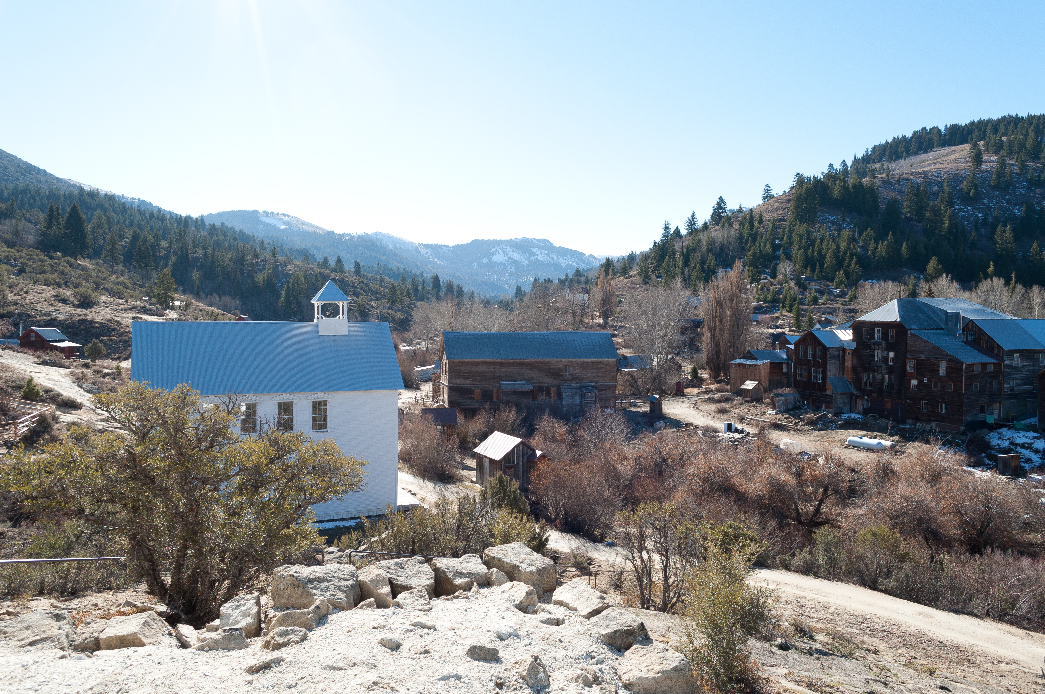
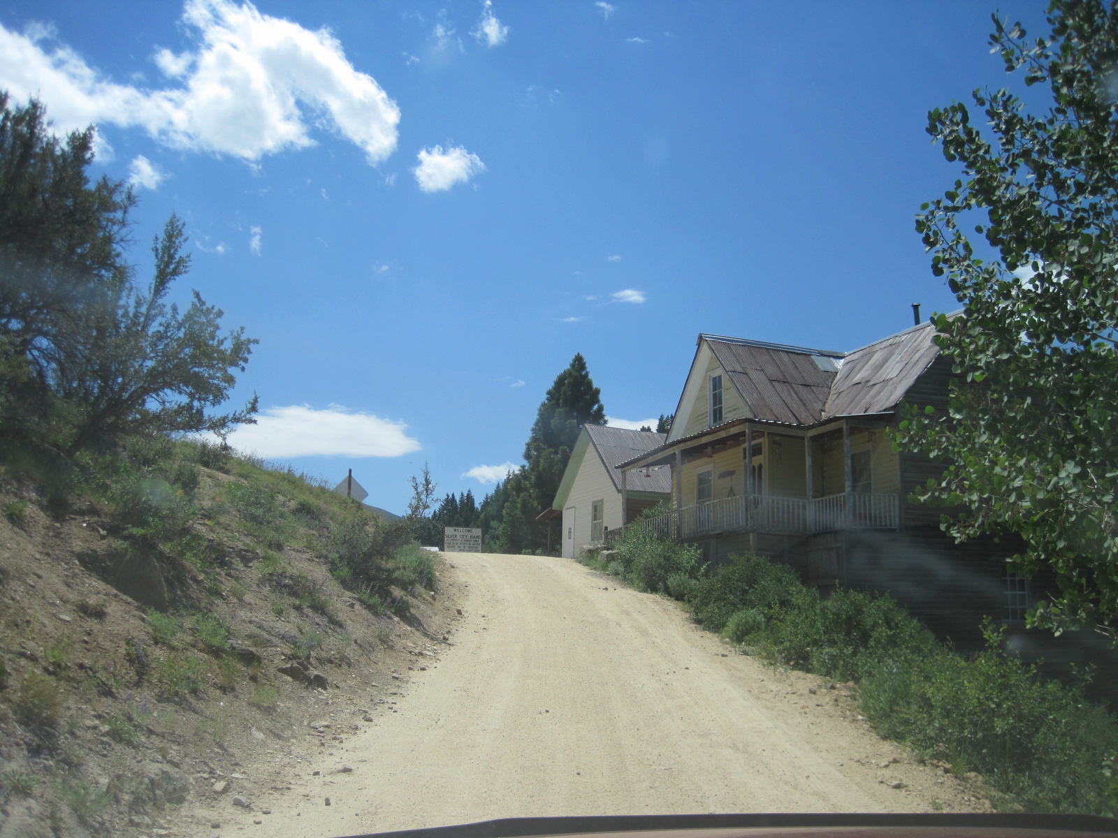
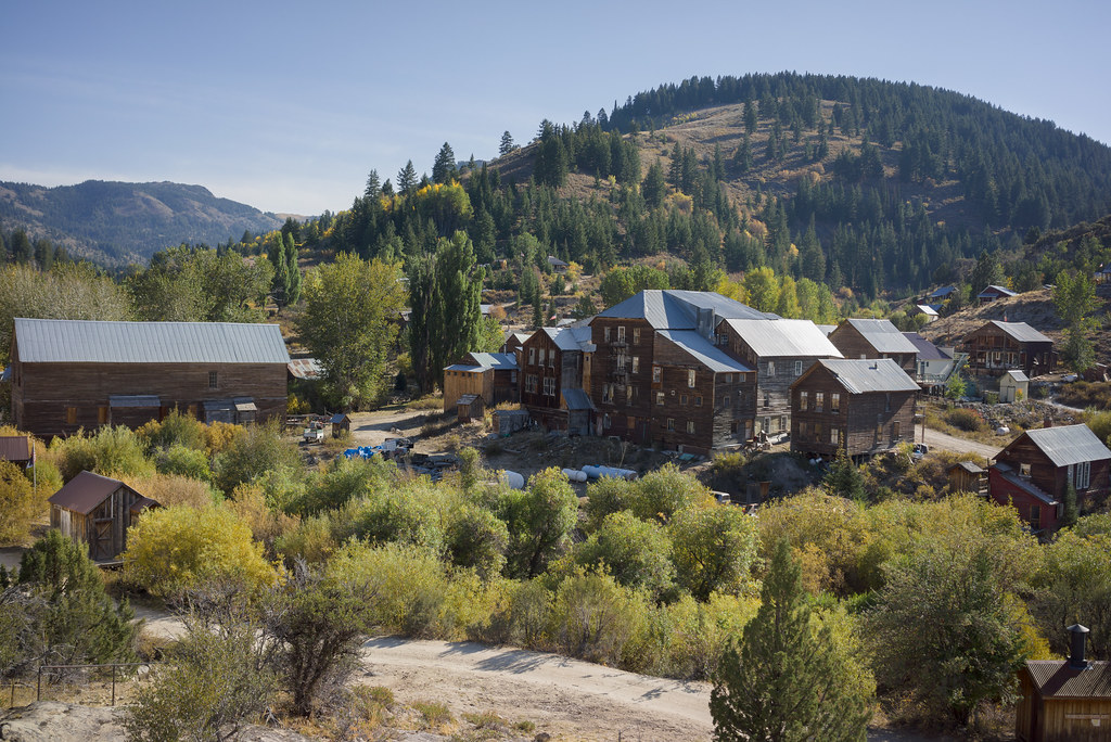
Silver City, Idaho

View of Hayden Peak

From 8,400 feet
Overlooking Boise
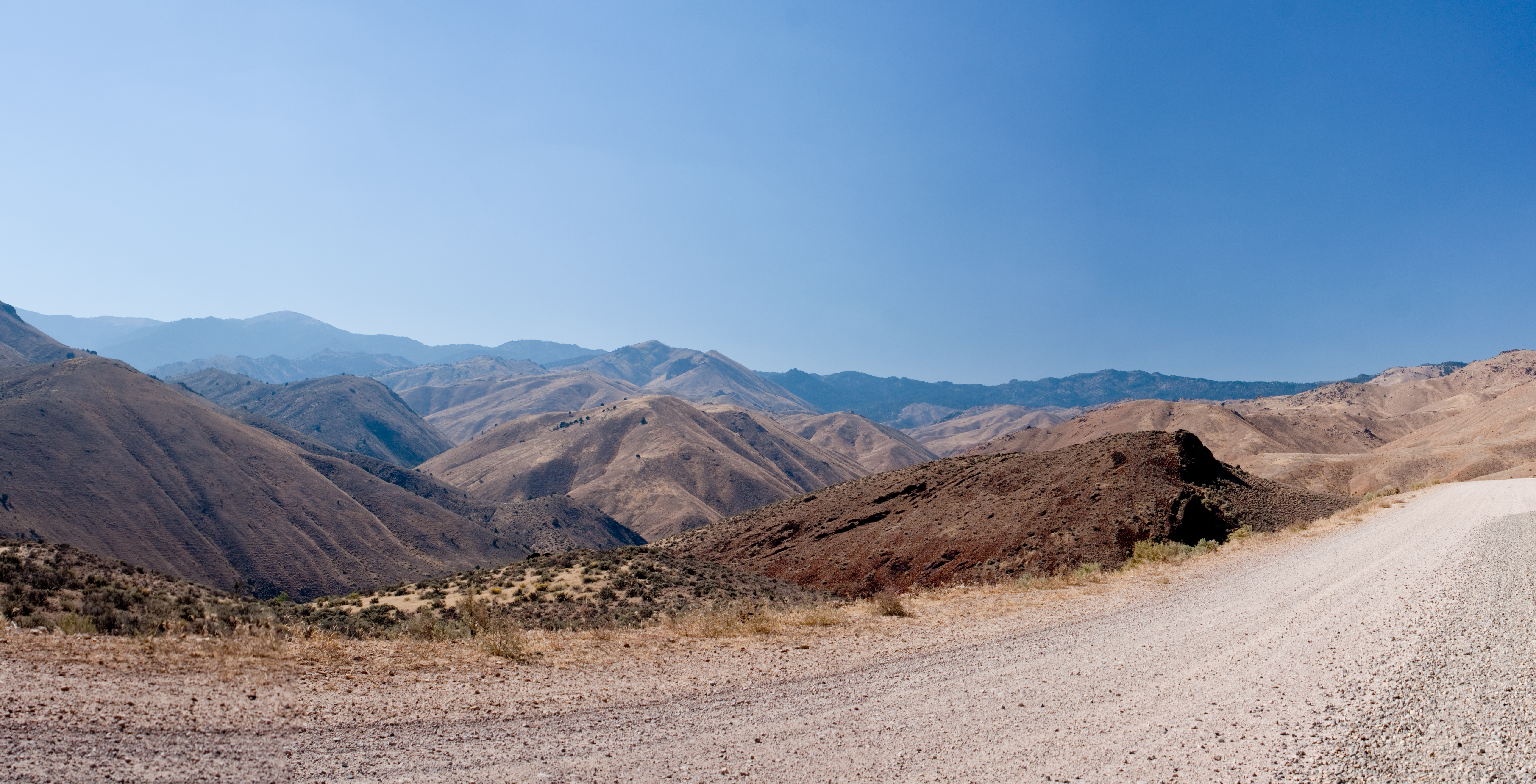
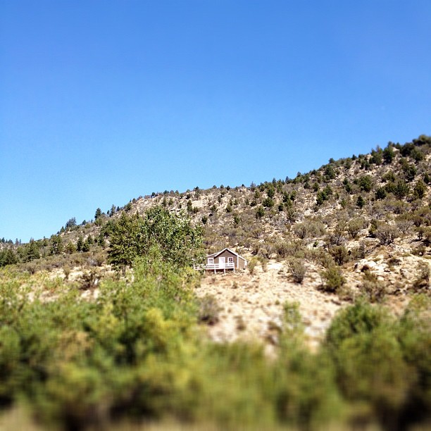
View From road to Silver City Idaho

view from our balcony
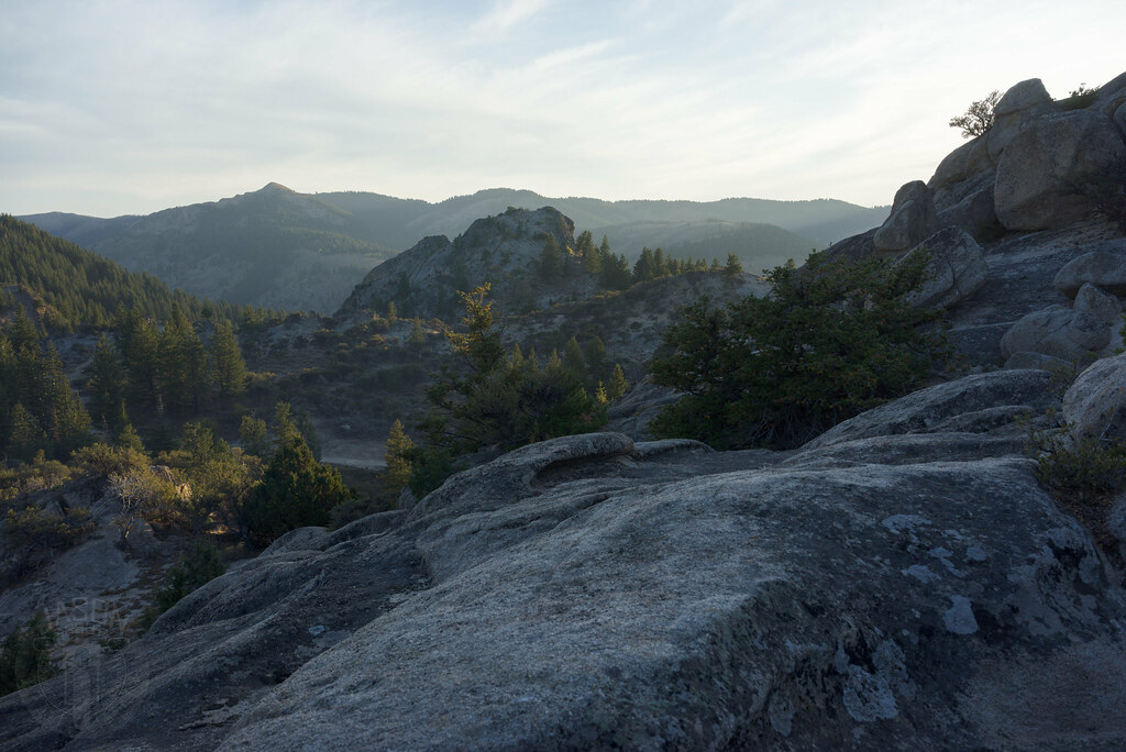
View of Owyhees from Black Mountain
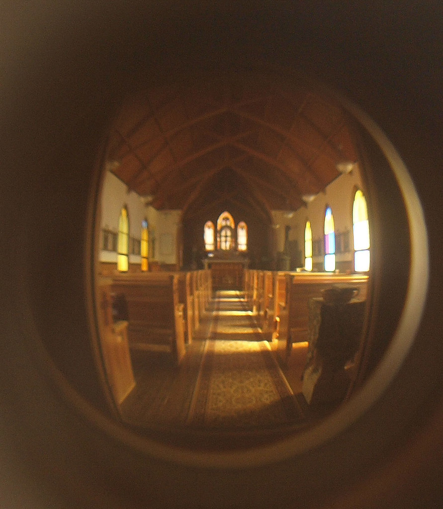
Church View
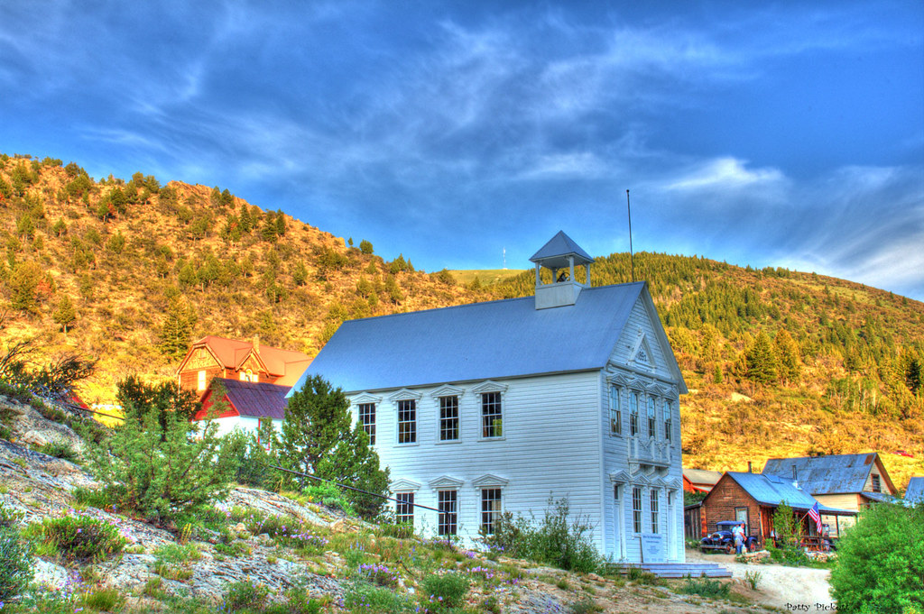
Idaho standard School
Silver City 2

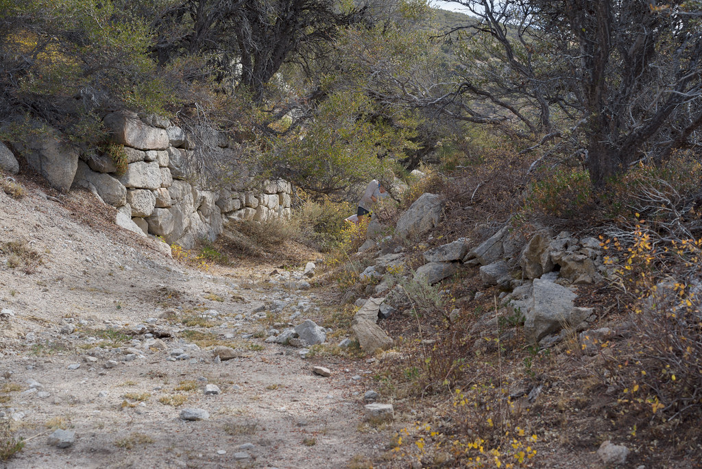
In the Trees
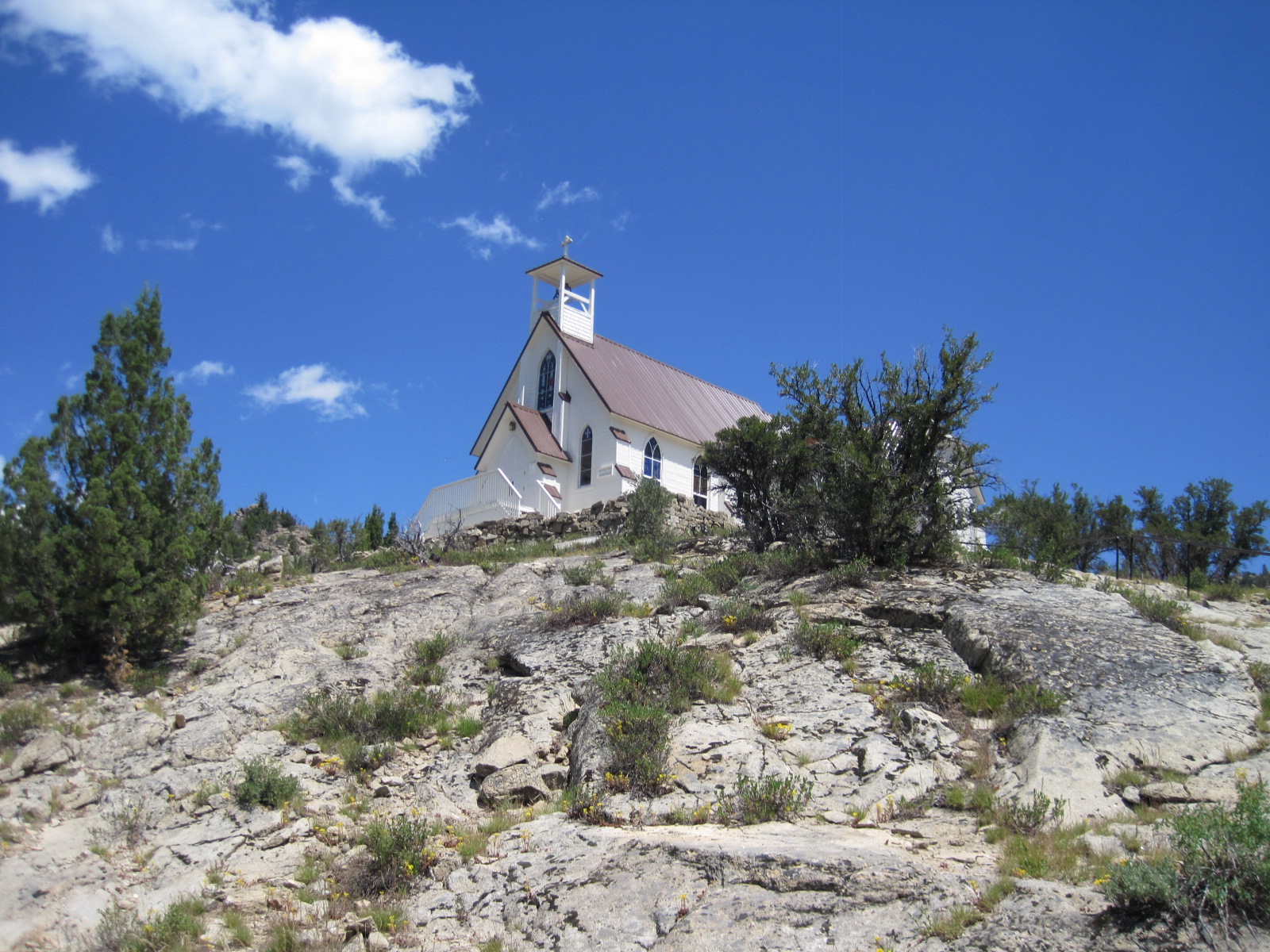
64 Church on Hill
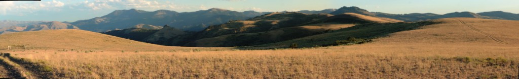
20090925-_MG_0855-59-pan

No gold here
55 City Limits

Partly cloudy

High water

Indefinite sky

Succor Creek headwaters

Sinker Creek

North across the Snake River Plain

Below War Eagle
Probably Egyptian
Last rays

Claimed for America
Seedier side
Went four wheeler riding in Silver City today. What a great ol' miners town.
Topographic Map of Silver City, ID, USA
Find elevation by address:

Places near Silver City, ID, USA:
Jordan Valley
US-95, Jordan Valley, OR, USA
9362 Id-78
Owyhee View Lane
Marsing
Sunny Slope Rd, Caldwell, ID, USA
Danner
Ontario, Or-id
Malheur County
Recent Searches:
- Elevation of Corso Fratelli Cairoli, 35, Macerata MC, Italy
- Elevation of Tallevast Rd, Sarasota, FL, USA
- Elevation of 4th St E, Sonoma, CA, USA
- Elevation of Black Hollow Rd, Pennsdale, PA, USA
- Elevation of Oakland Ave, Williamsport, PA, USA
- Elevation of Pedrógão Grande, Portugal
- Elevation of Klee Dr, Martinsburg, WV, USA
- Elevation of Via Roma, Pieranica CR, Italy
- Elevation of Tavkvetili Mountain, Georgia
- Elevation of Hartfords Bluff Cir, Mt Pleasant, SC, USA