Elevation map of Owyhee County, ID, USA
Location: United States > Idaho >
Longitude: -116.06228
Latitude: 42.6827359
Elevation: 1268m / 4160feet
Barometric Pressure: 87KPa
Elevation Map:
Satellite Map:
Related Photos:

So much to do
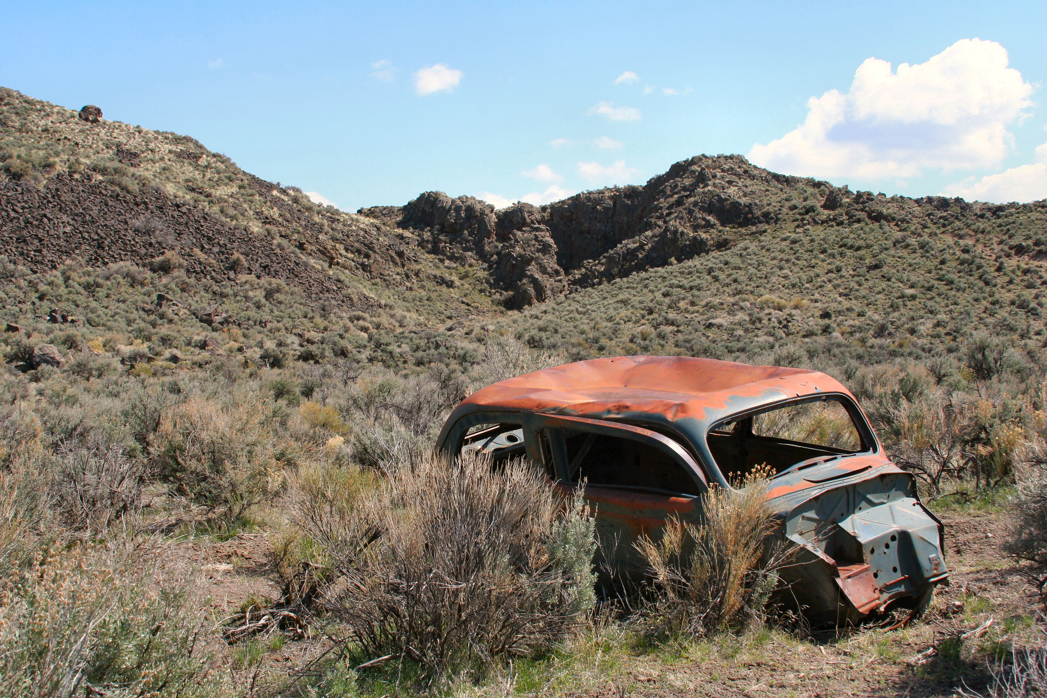
Holman Cabin (Site)

Into Little Jack
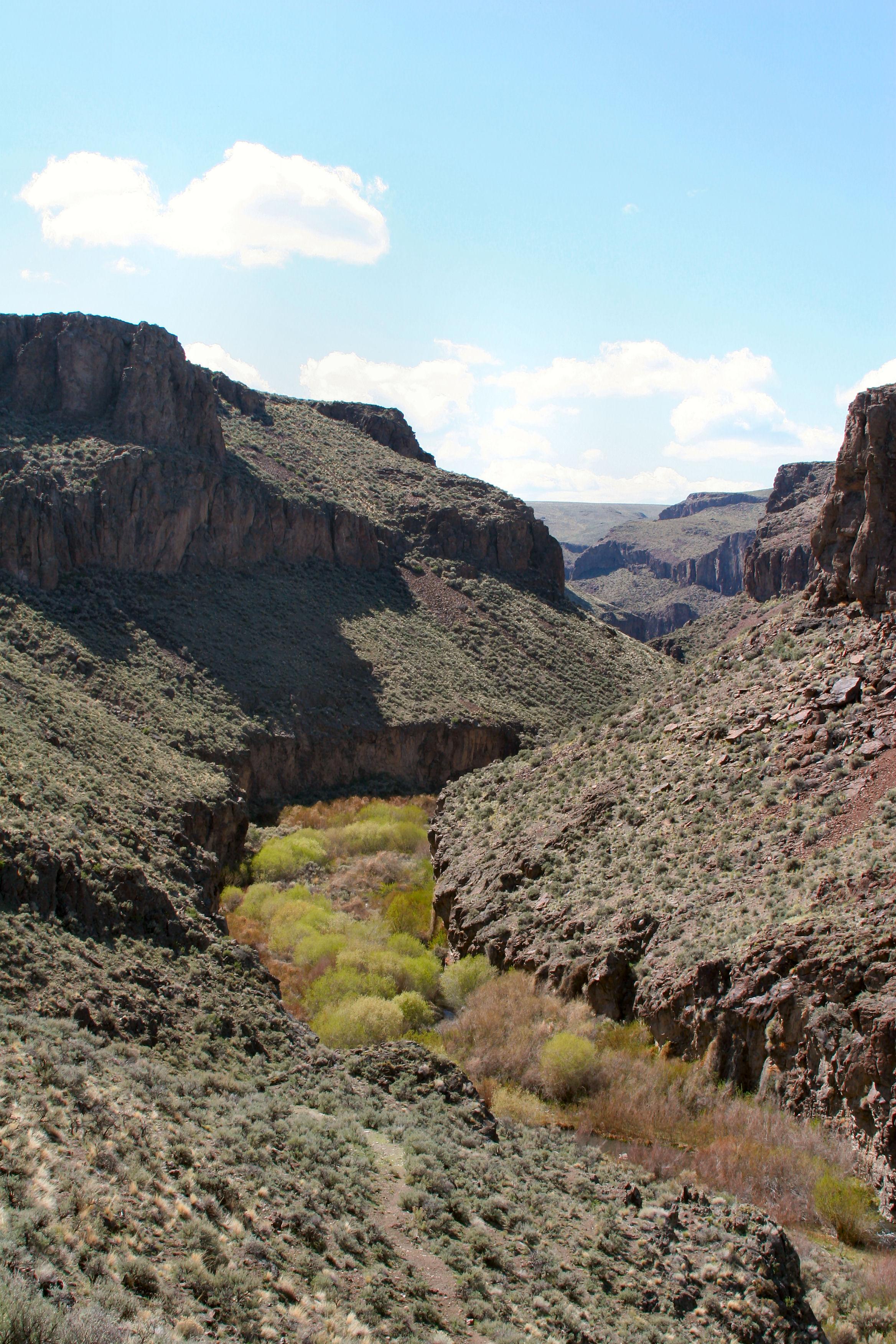
Little Jacks Canyon near Rattlesnake Ck
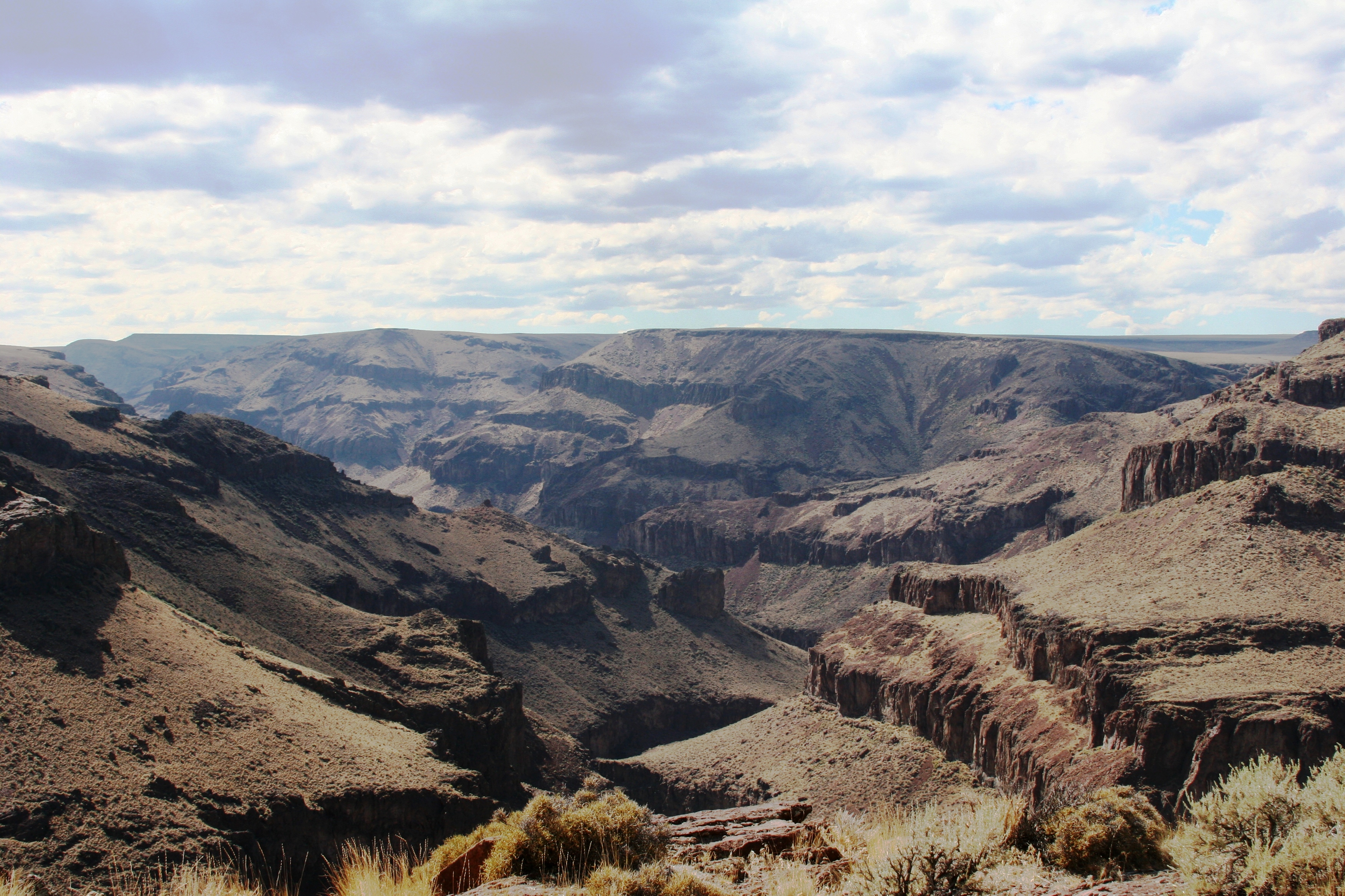
Big Horse Basin Gap

Faint path

Hidden creek

Flash flood

Fairy homes

Pea pool

Tame the wind
Buncel Place; Owyhee, ID

Long fall
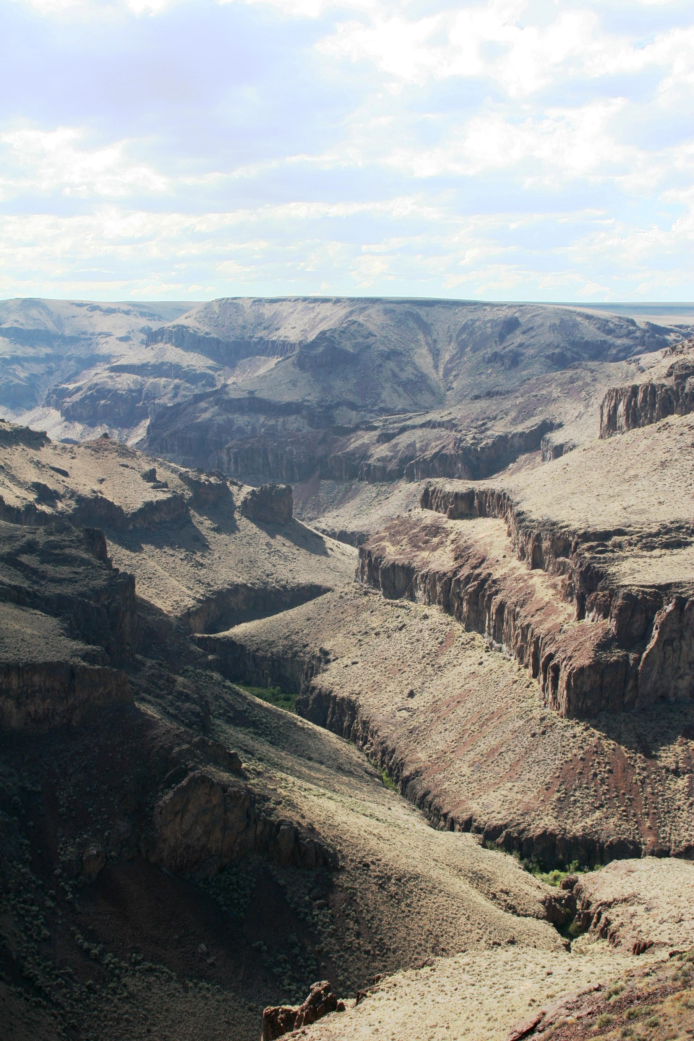
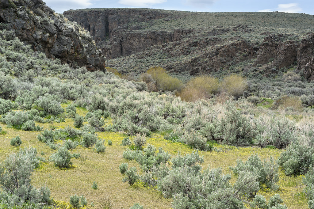
Little Jacks Canyon near Rattlesnake Ck
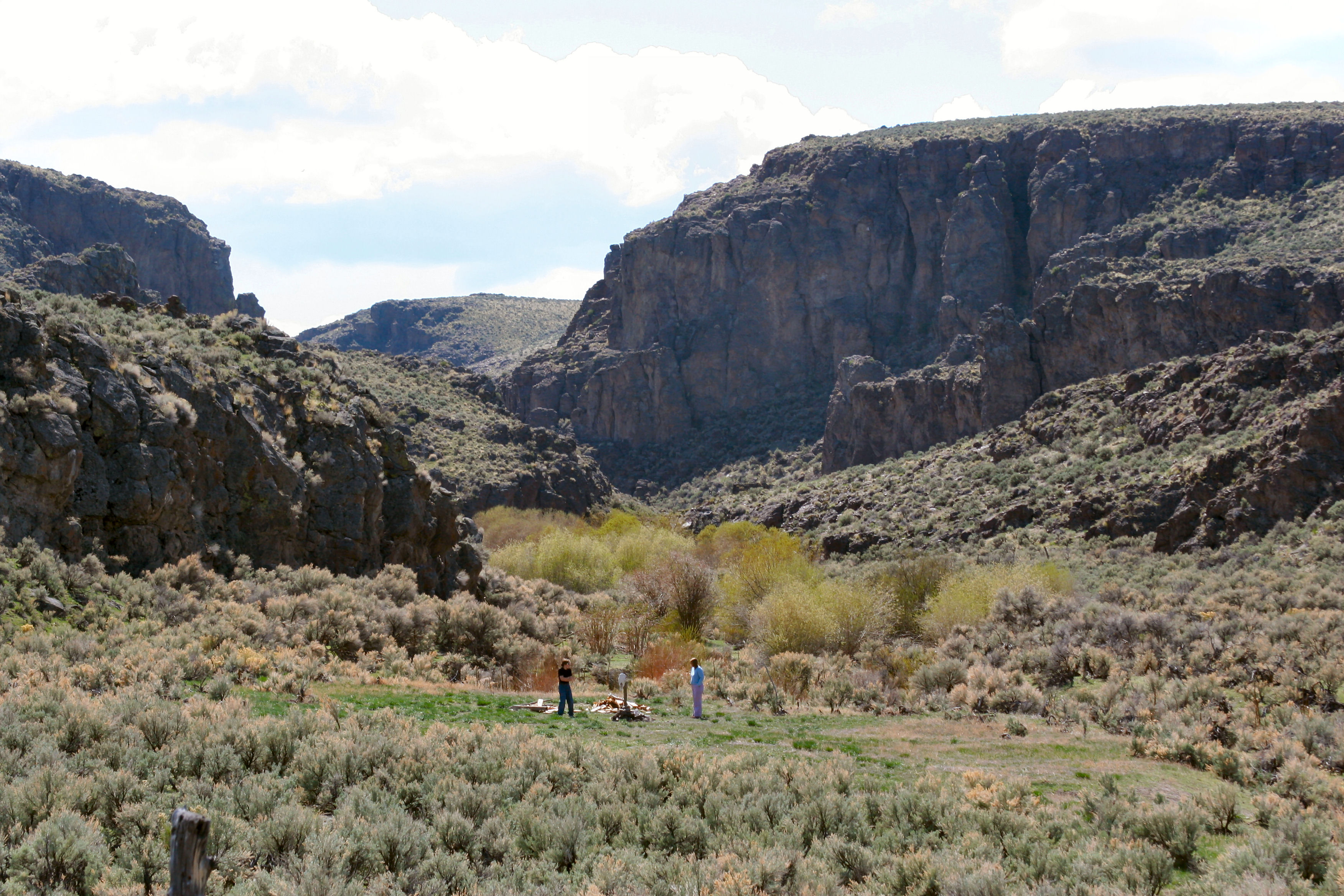
Buncel Place; Owyhee, ID
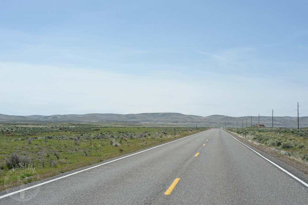
Highway 51
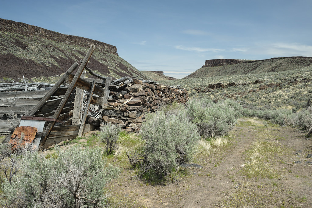
Stone barn

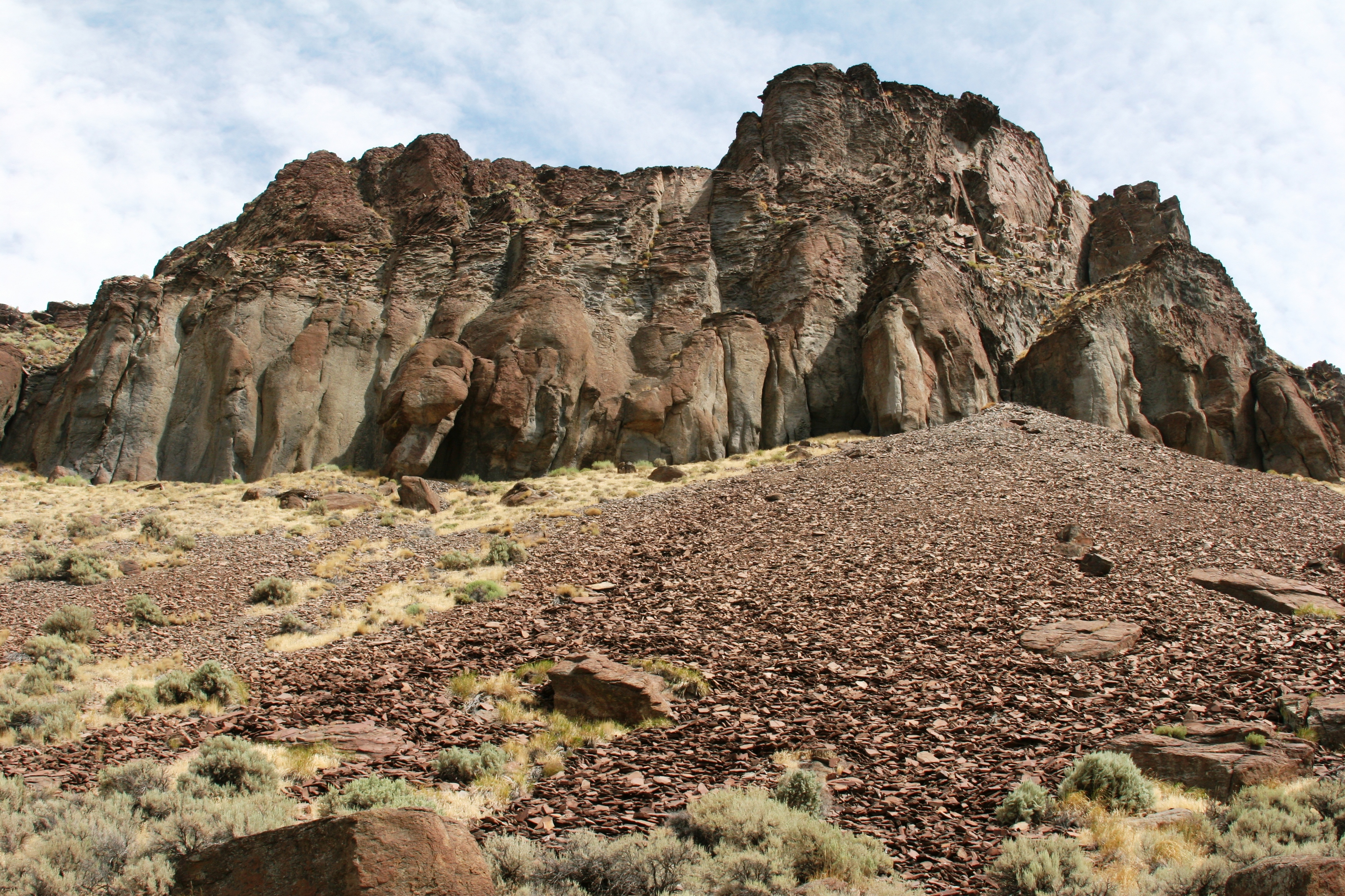
Red rock

Dry creek

Casting spells

Ice castle

Crawdad habitat
Duncan Creek
Topographic Map of Owyhee County, ID, USA
Find elevation by address:

Places in Owyhee County, ID, USA:
Places near Owyhee County, ID, USA:
31013 Id-51
Bruneau
Mountain Home Air Force Base
745 Gunfighter Ave
16975 Short Cut Rd
Oreana
5040 Id-51
Indian Cove
1036 Id-51
1036 Id-51
1036 Id-51
Old U.S. 30, Mountain Home, ID, USA
675 W 6th S
Mountain Home
1050 Us-20
Pilot Travel Center
S Orchard Access Rd, Boise, ID, USA
Hammett
Old U.S. 30, Hammett, ID, USA
Silver City Road
Recent Searches:
- Elevation of Corso Fratelli Cairoli, 35, Macerata MC, Italy
- Elevation of Tallevast Rd, Sarasota, FL, USA
- Elevation of 4th St E, Sonoma, CA, USA
- Elevation of Black Hollow Rd, Pennsdale, PA, USA
- Elevation of Oakland Ave, Williamsport, PA, USA
- Elevation of Pedrógão Grande, Portugal
- Elevation of Klee Dr, Martinsburg, WV, USA
- Elevation of Via Roma, Pieranica CR, Italy
- Elevation of Tavkvetili Mountain, Georgia
- Elevation of Hartfords Bluff Cir, Mt Pleasant, SC, USA