Elevation of Nyssa, OR, USA
Location: United States > Oregon > Malheur County >
Longitude: -116.99488
Latitude: 43.8768289
Elevation: 664m / 2178feet
Barometric Pressure: 94KPa
Elevation Map:
Satellite Map:
Related Photos:
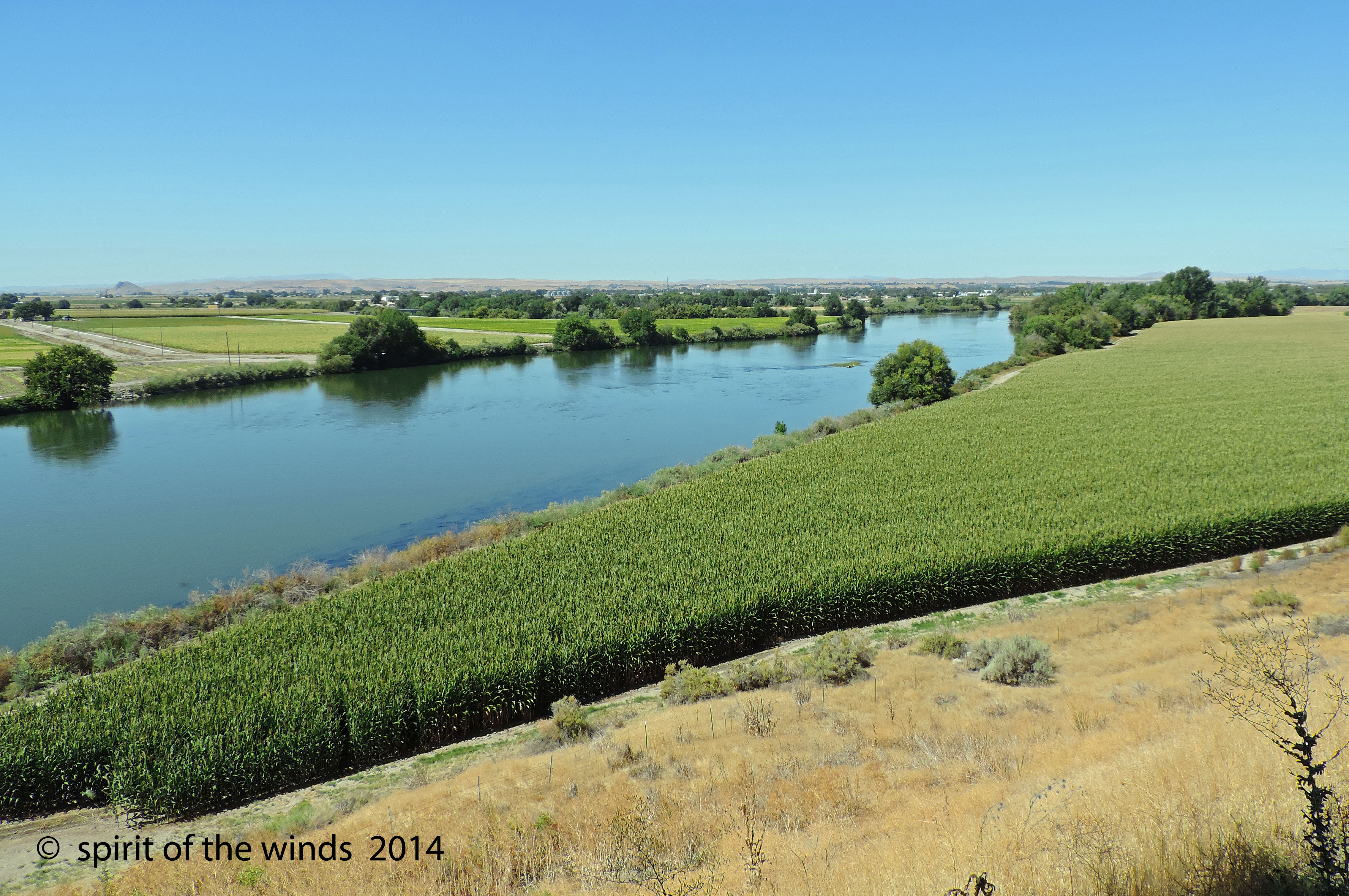
The Snake River
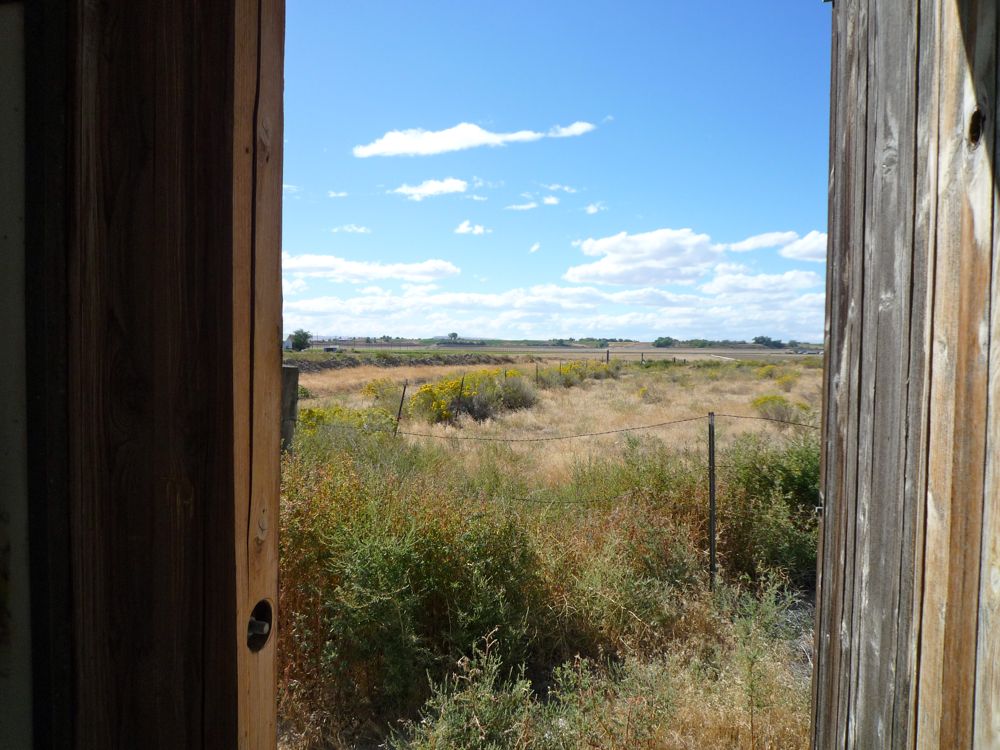
Looking Across Oregon
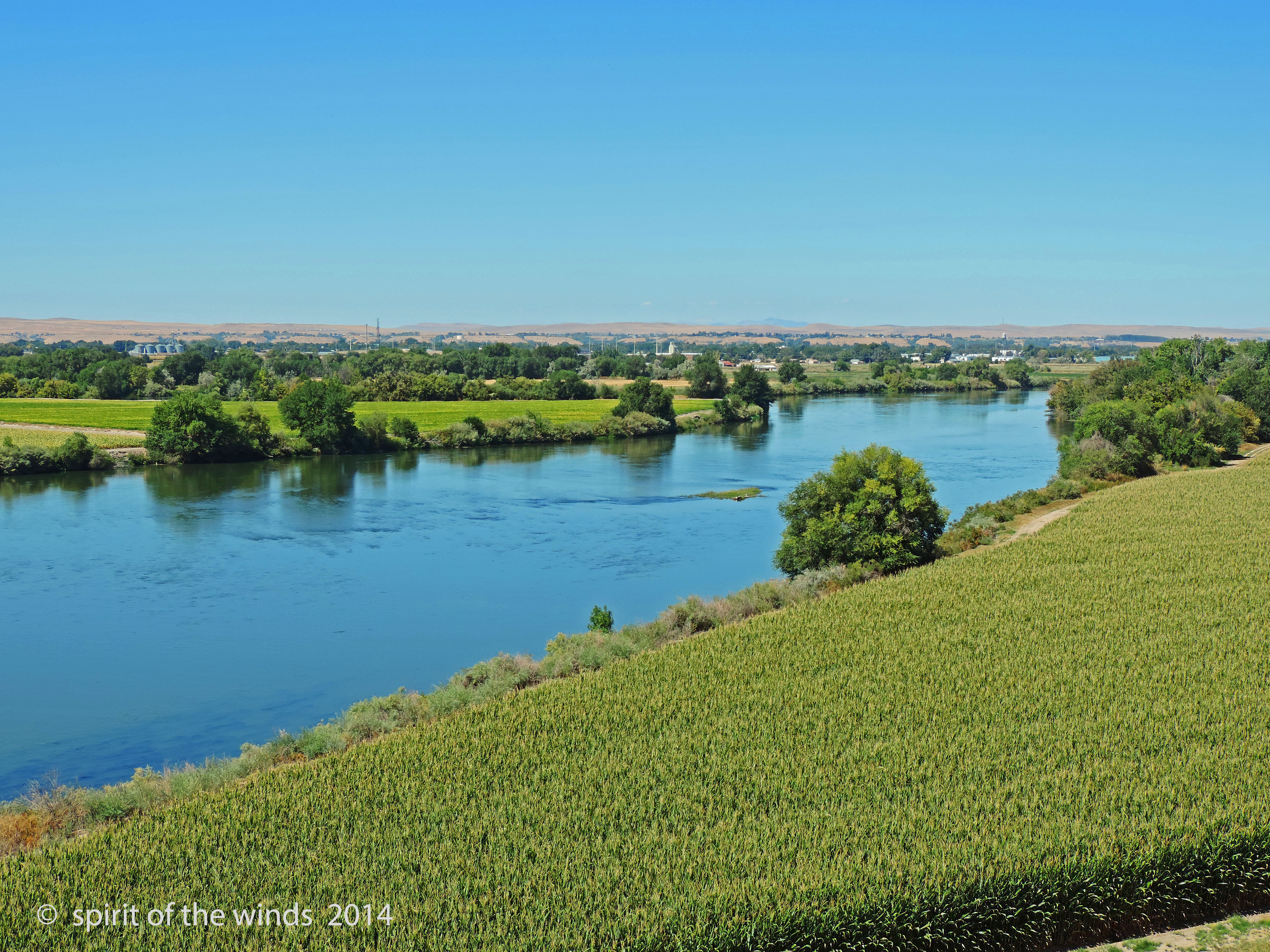
The Snake River

DSC_2327 (1)

DSC_2331 (1)

DSC_2330 (1)

DSC_2335 (1)

DSC_2328 (1)

DSC_2334 (1)

DSC_2326 (1)

DSC_2337 (1)

DSC_2333 (1)

DSC_2329 (1)

Snake River Winter Sunset

DSC_0610 (3)

DSC_0601 (1)
Topographic Map of Nyssa, OR, USA
Find elevation by address:

Places in Nyssa, OR, USA:
Places near Nyssa, OR, USA:
1375 Anderson Corner Rd
2725 1st Ln E
4900 Us-95
Parma
Onion Ave, Ontario, OR, USA
ID-18, Parma, ID, USA
2244 Kingman Rd
Ramey
25050 Pet Ln
1049 Grand Ave
517 Sw 2nd St
Idaho Elks Hearing And Balance Center: Ontario
57 Nw 16th St
SW 4th St, Fruitland, ID, USA
Fruitland
Southeast 1st Avenue
602 W 1st St
1273 Spring Creek Ln
Ontario
Adrian
Recent Searches:
- Elevation of Corso Fratelli Cairoli, 35, Macerata MC, Italy
- Elevation of Tallevast Rd, Sarasota, FL, USA
- Elevation of 4th St E, Sonoma, CA, USA
- Elevation of Black Hollow Rd, Pennsdale, PA, USA
- Elevation of Oakland Ave, Williamsport, PA, USA
- Elevation of Pedrógão Grande, Portugal
- Elevation of Klee Dr, Martinsburg, WV, USA
- Elevation of Via Roma, Pieranica CR, Italy
- Elevation of Tavkvetili Mountain, Georgia
- Elevation of Hartfords Bluff Cir, Mt Pleasant, SC, USA