Elevation of Anderson Corner Rd, Parma, ID, USA
Location: United States > Idaho > Canyon County > Parma >
Longitude: -116.93834
Latitude: 43.8722805
Elevation: 727m / 2385feet
Barometric Pressure: 93KPa
Elevation Map:
Satellite Map:
Related Photos:

The Snake River
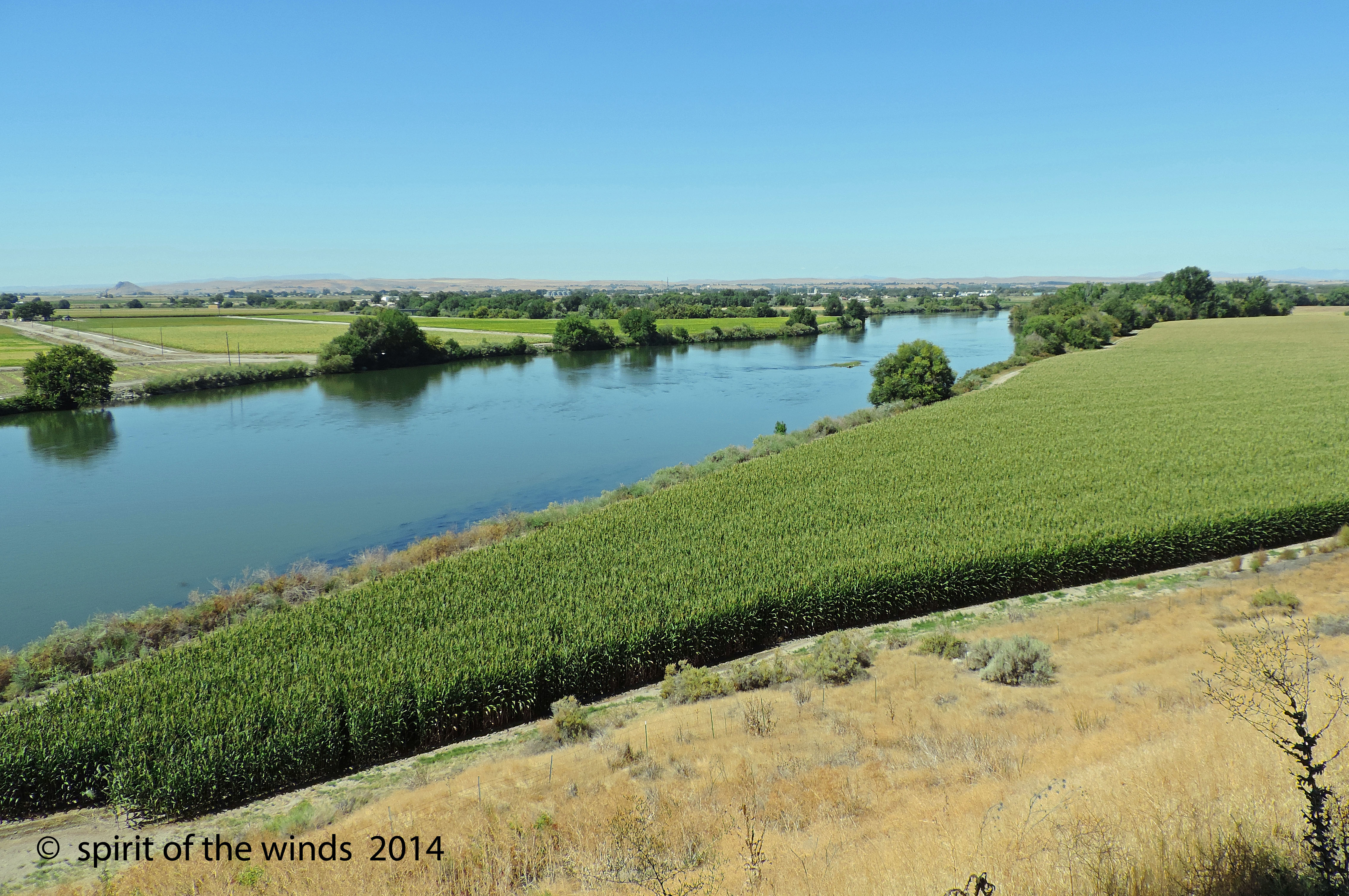
The Snake River

Looking Across Oregon

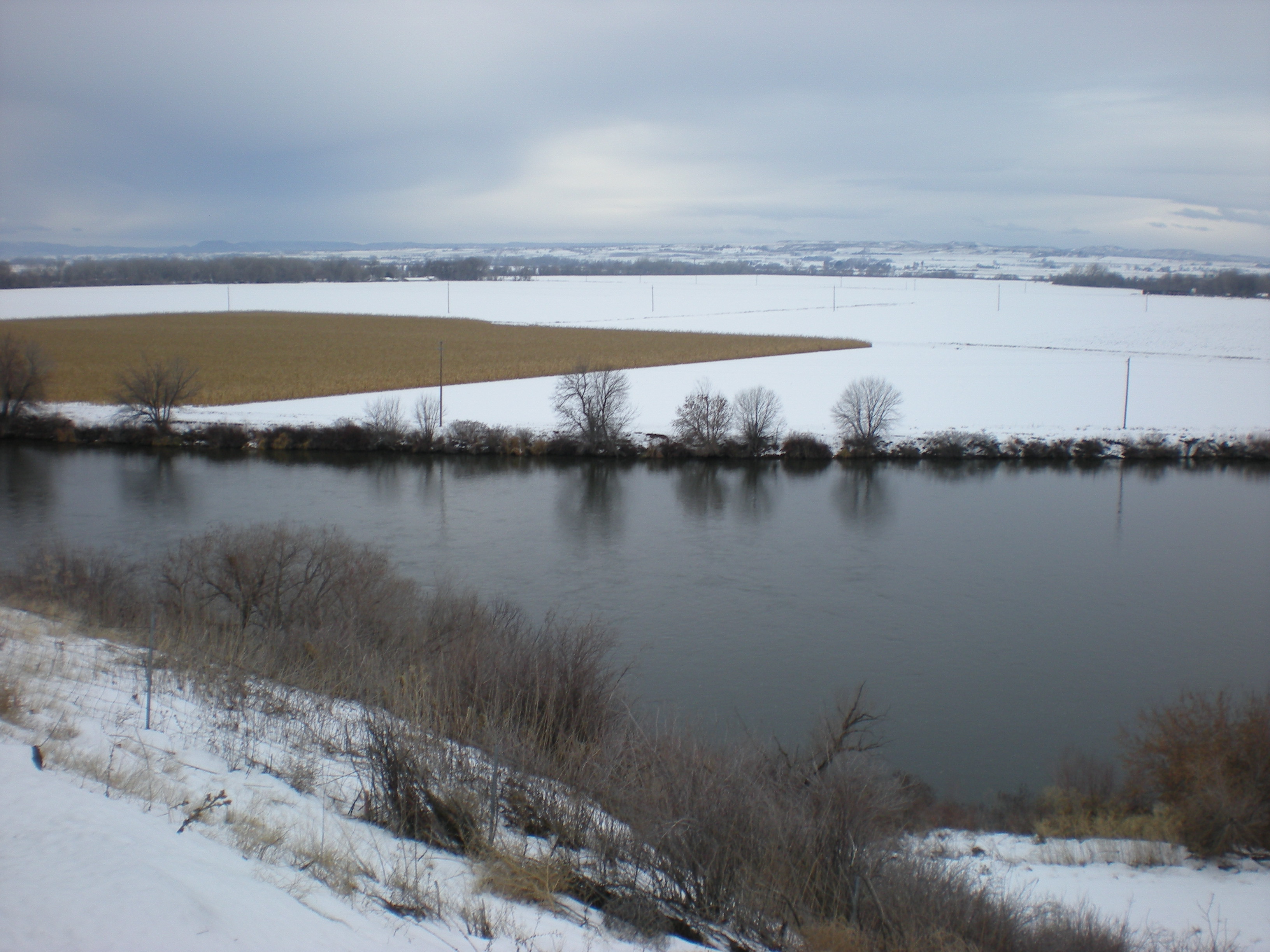
Snake River Winter Sunset

Ride the storm

Archer on horseback
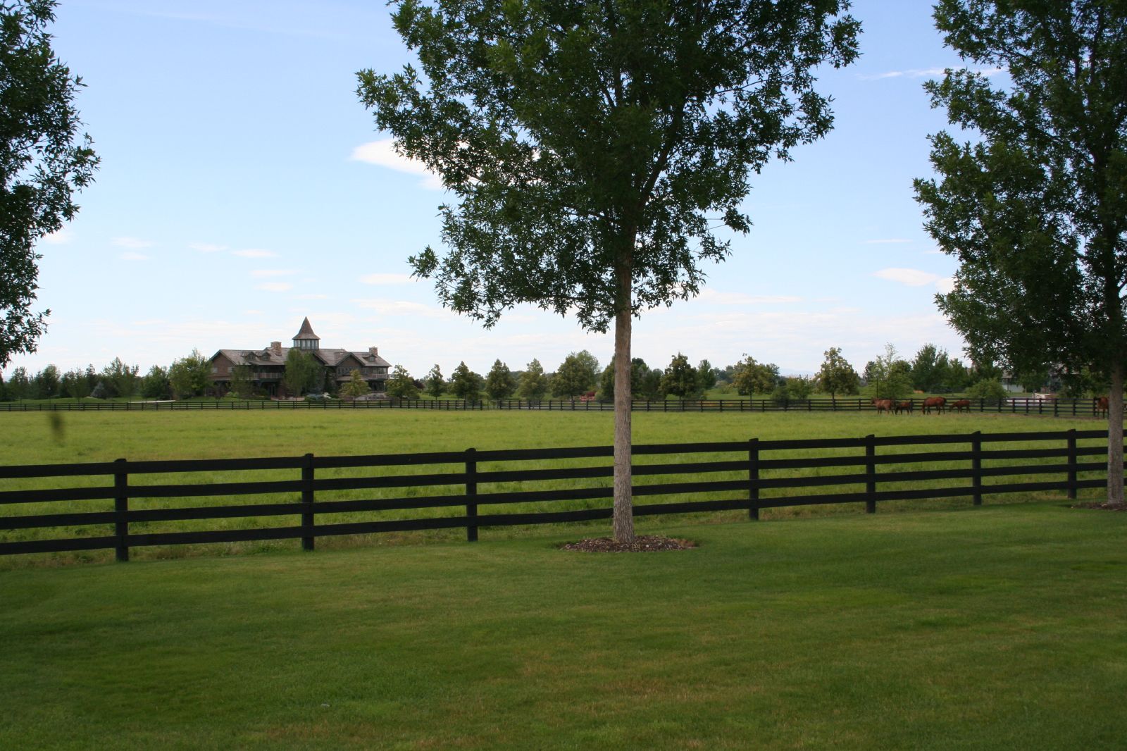
Treetop Farms, Wilder, Idaho

Malheur NWR Fire Program Implements Burn on Roger's Wildlife Area

Sand Hollow Creek

The Old Days

Owyhee River

Malheur River Valley Wheat Field (Malheur County, Oregon)

Malheur River Valley (Malheur County, Oregon)

Idaho Sunset #1

Sunrise At Our Place

Sunset tonight at Grandma and Pops farm #lislereunion

parma cemetery
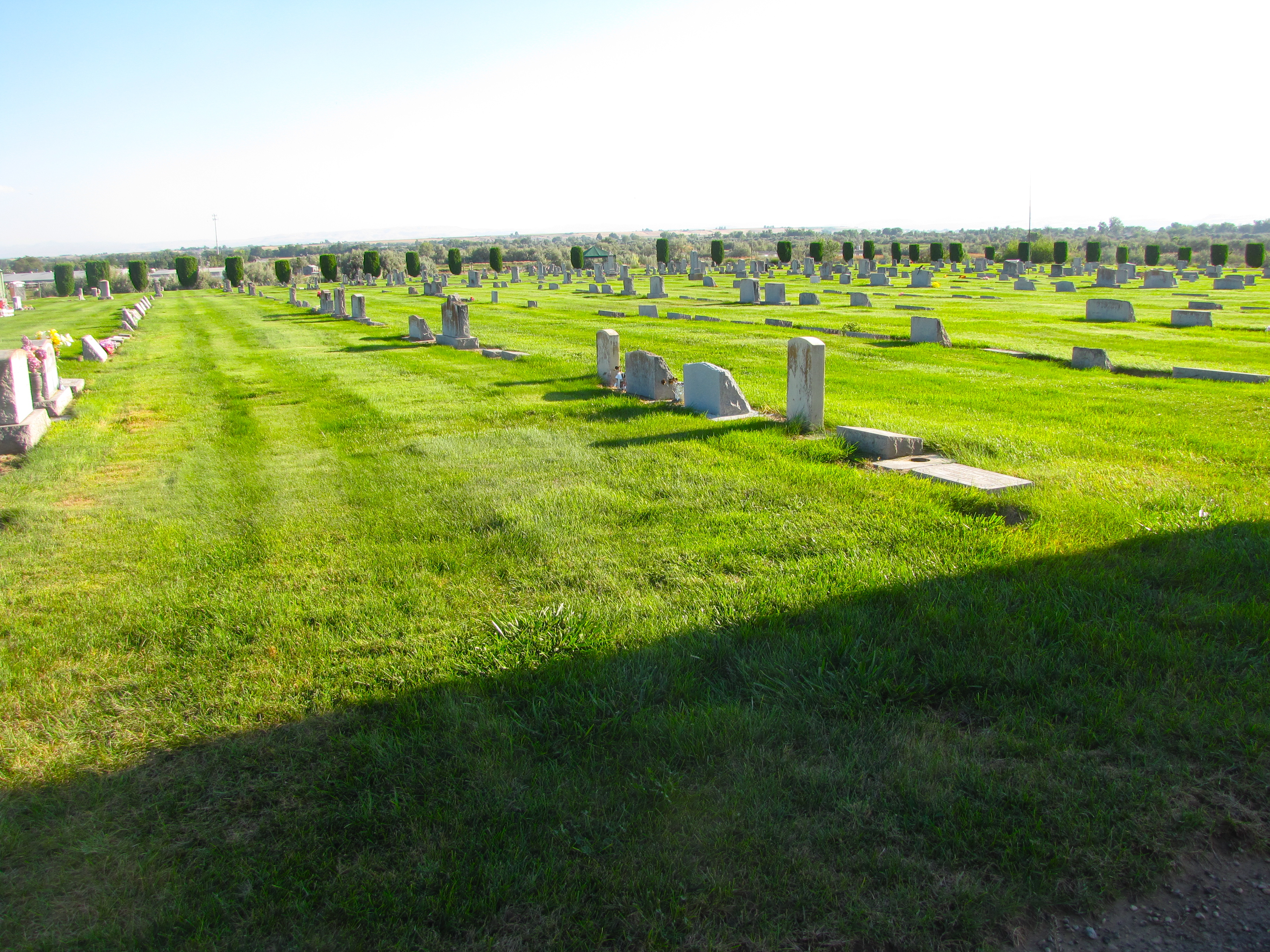
parma cemetery

Coyote In Snowy Landscape

2009_07_21-14_11_32-IMG_1066
Rosslyn's Birthday Road Trip 008

Yellow Hills
Topographic Map of Anderson Corner Rd, Parma, ID, USA
Find elevation by address:

Places near Anderson Corner Rd, Parma, ID, USA:
2725 1st Ln E
Nyssa
4900 Us-95
Parma
Onion Ave, Ontario, OR, USA
ID-18, Parma, ID, USA
Ramey
SW 4th St, Fruitland, ID, USA
Fruitland
602 W 1st St
1273 Spring Creek Ln
25050 Pet Ln
Southwest Avenue
517 Sw 2nd St
NW 16th St, Fruitland, ID, USA
Southeast 1st Avenue
New Plymouth
Elm St, New Plymouth, ID, USA
Ontario
Idaho Elks Hearing And Balance Center: Ontario
Recent Searches:
- Elevation of Corso Fratelli Cairoli, 35, Macerata MC, Italy
- Elevation of Tallevast Rd, Sarasota, FL, USA
- Elevation of 4th St E, Sonoma, CA, USA
- Elevation of Black Hollow Rd, Pennsdale, PA, USA
- Elevation of Oakland Ave, Williamsport, PA, USA
- Elevation of Pedrógão Grande, Portugal
- Elevation of Klee Dr, Martinsburg, WV, USA
- Elevation of Via Roma, Pieranica CR, Italy
- Elevation of Tavkvetili Mountain, Georgia
- Elevation of Hartfords Bluff Cir, Mt Pleasant, SC, USA