Elevation of Lone Star Rd, Siren, WI, USA
Location: United States > Wisconsin > Burnett County >
Longitude: -92.3353721
Latitude: 45.7843465
Elevation: 296m / 971feet
Barometric Pressure: 0KPa
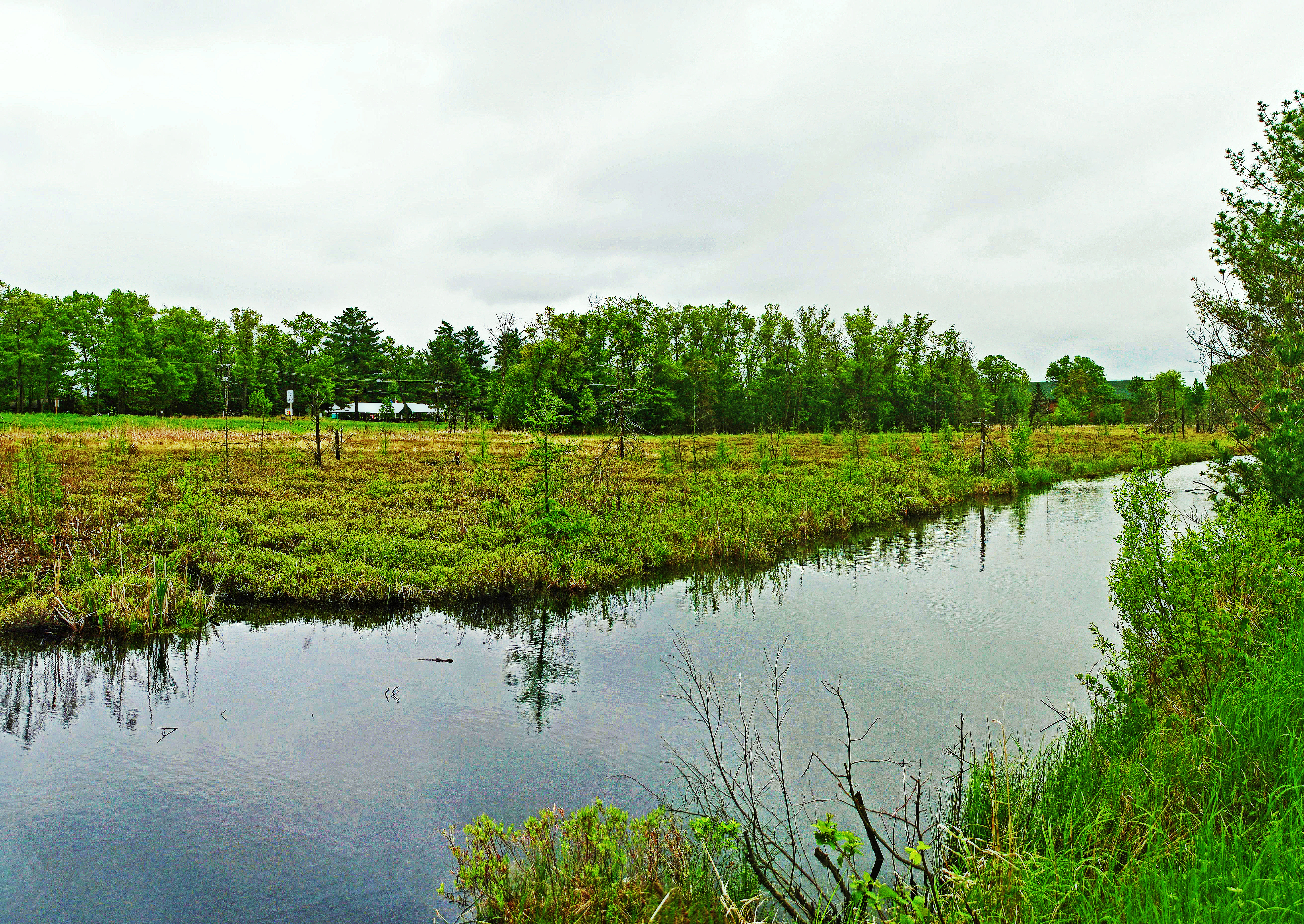
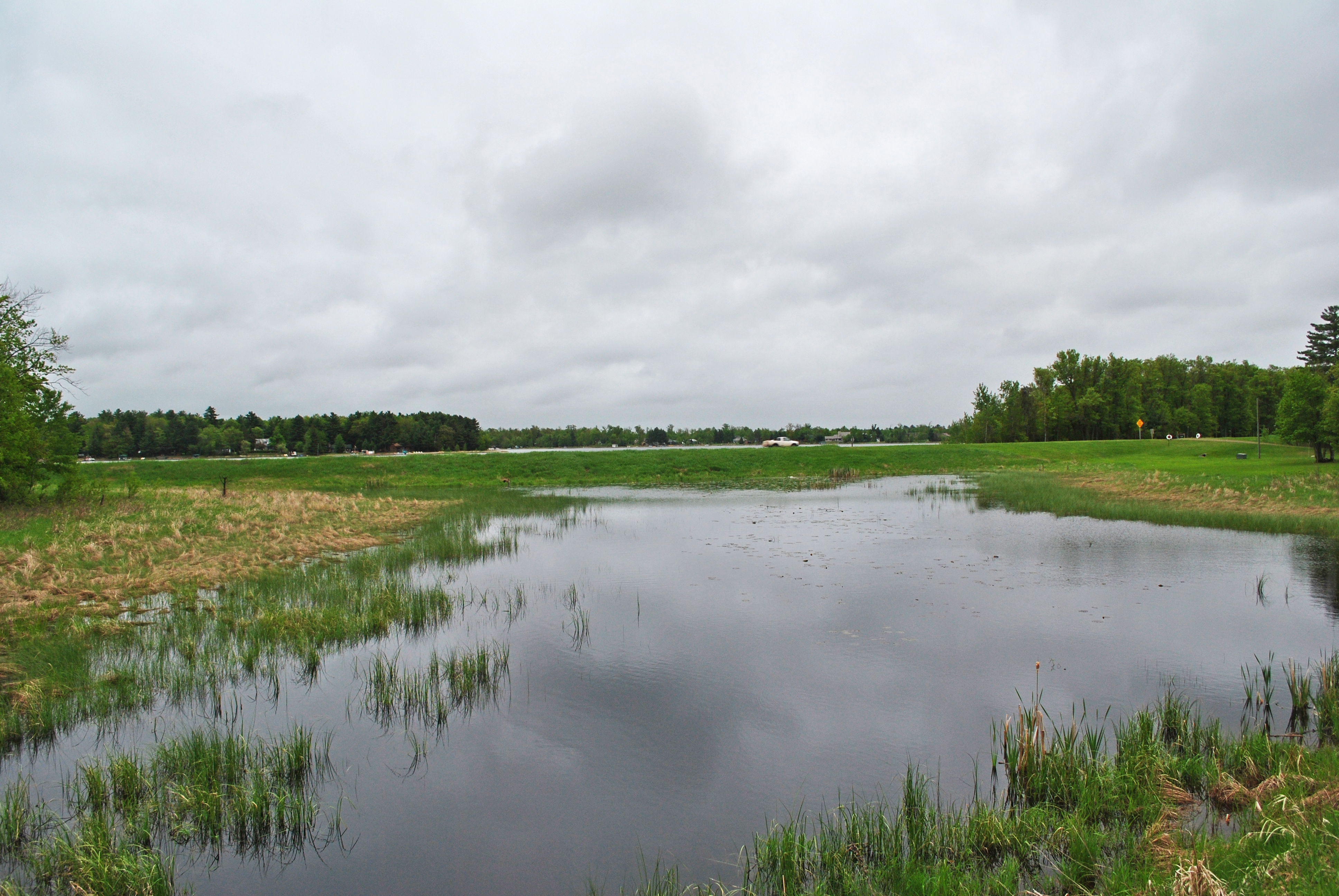
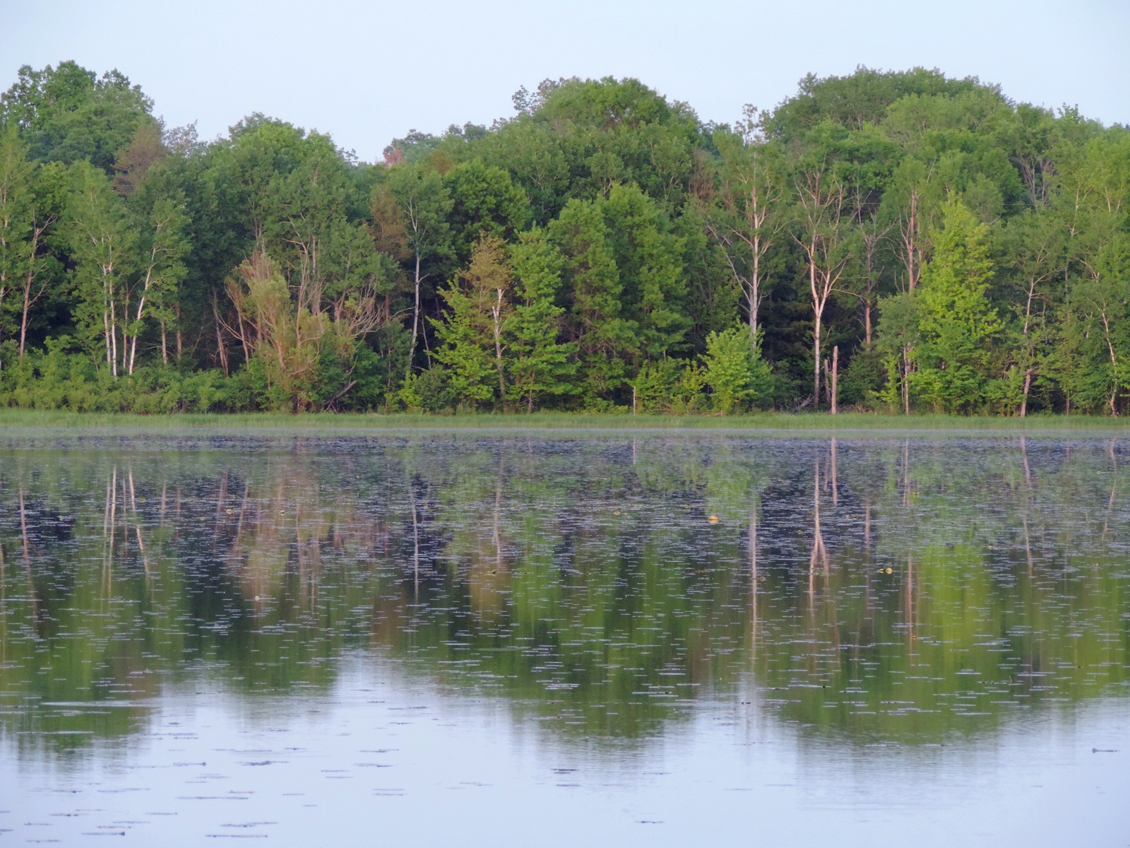
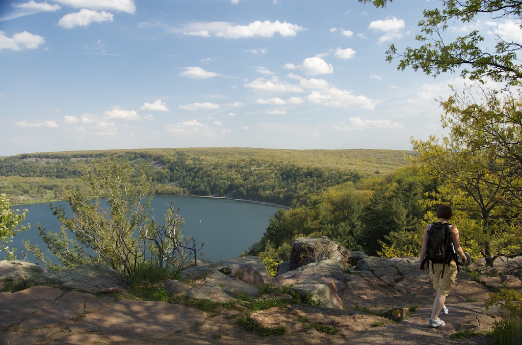
Related Photos:

Birch in Winter
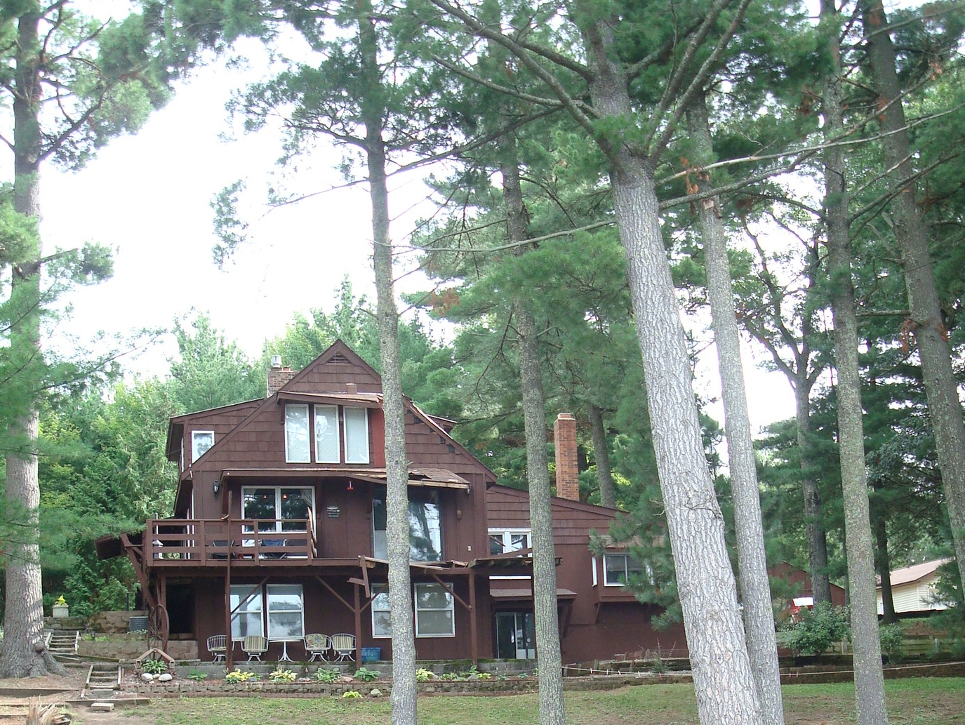
cabin damage

Spider Paradise
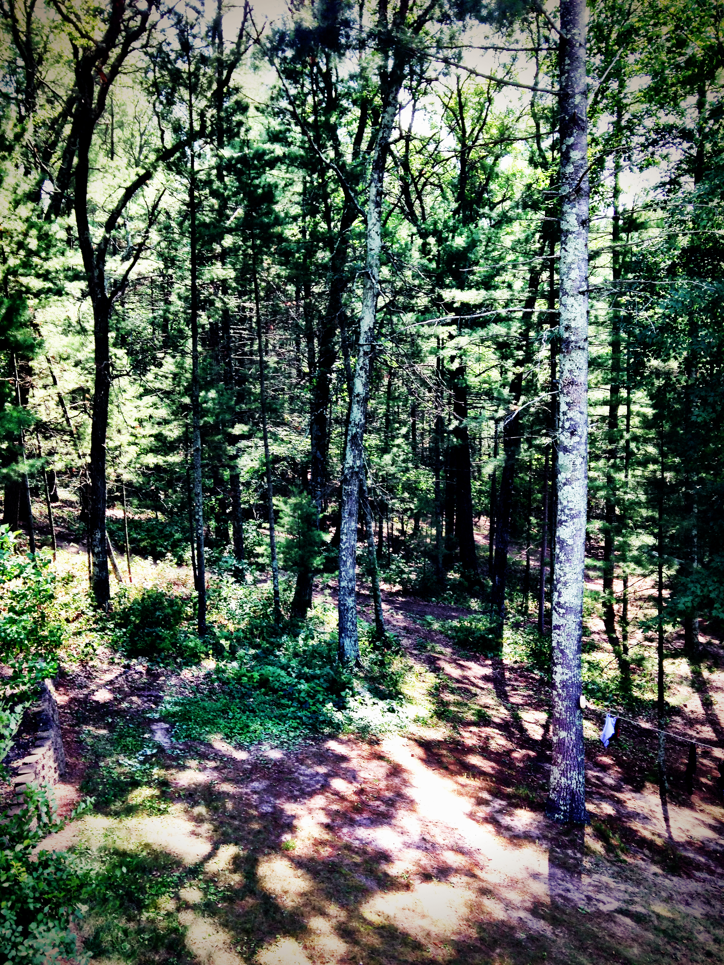
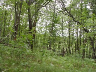
colorful trees
more trees

Good Morning Spiders!

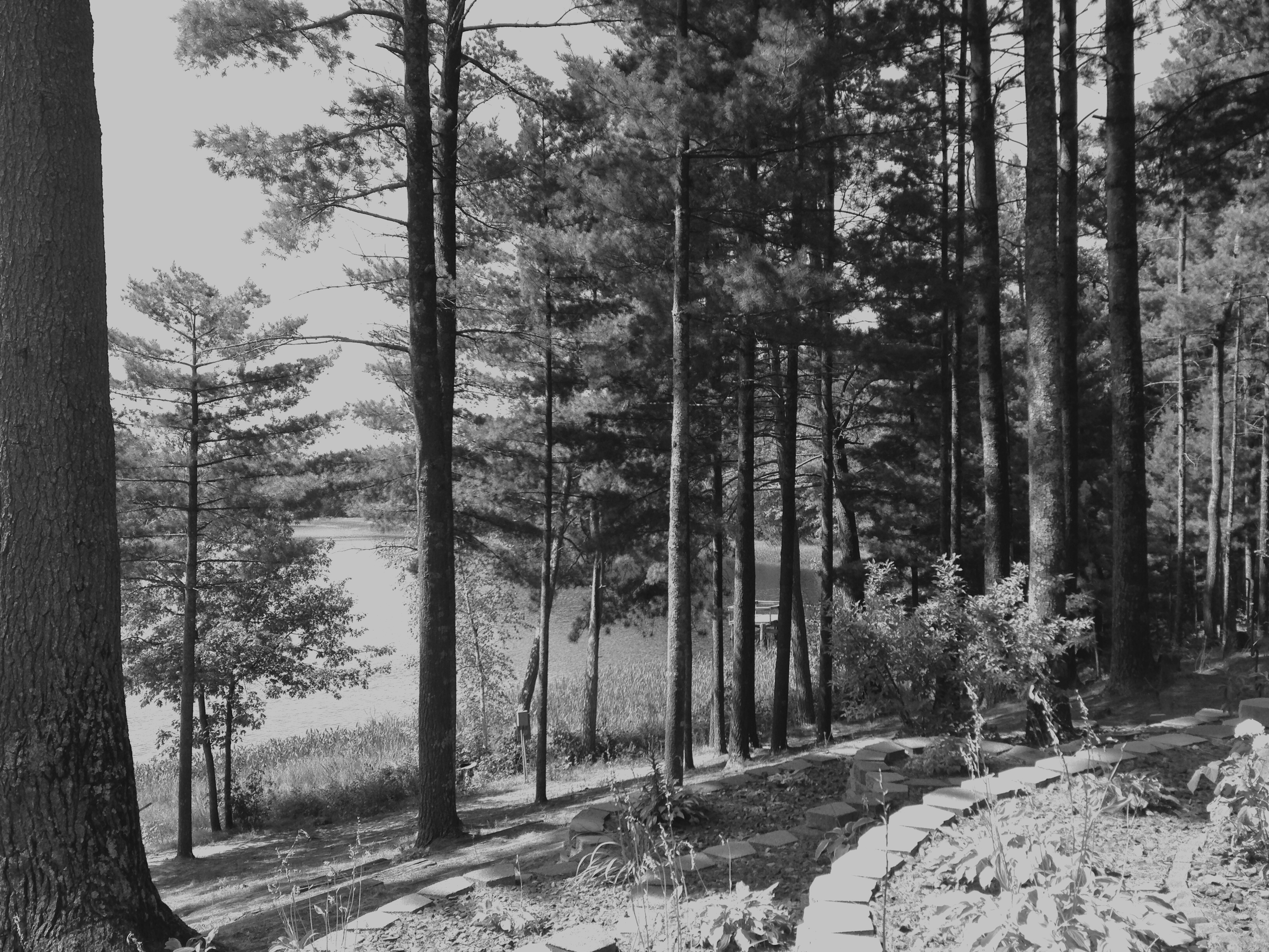
treeline reflection
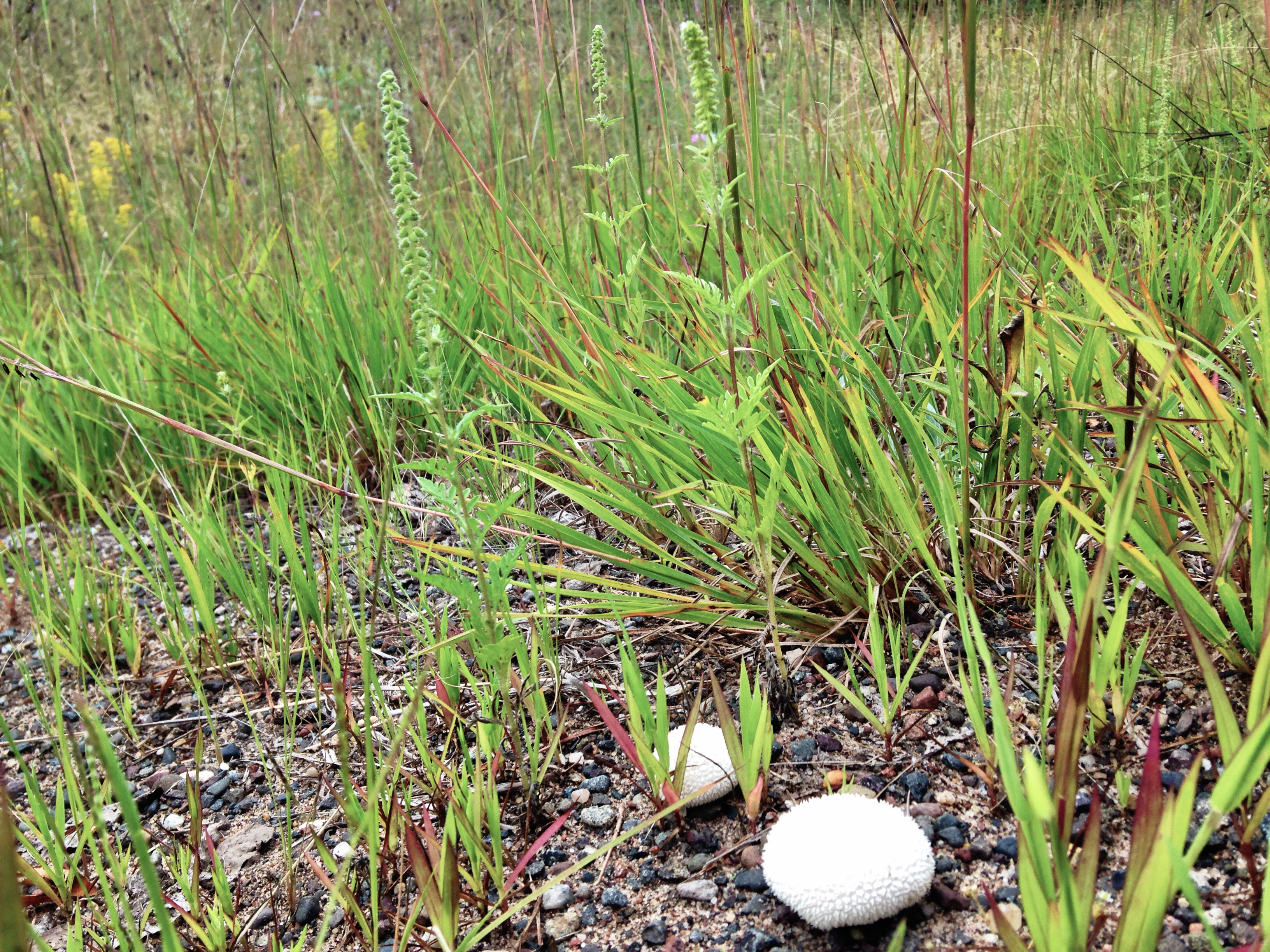
"egg" mushroom
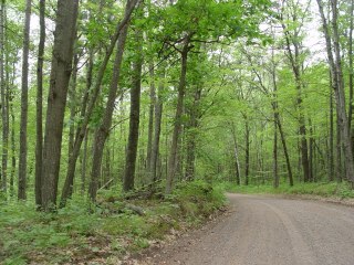
Along the Gandy Dancer State Trail
Along the Gandy Dancer State Trail
Fish Lake

Wood Ticks waiting
Walk on by
herz1001 6.10.10.6
herz1001 6.10.10.7
Topographic Map of Lone Star Rd, Siren, WI, USA
Find elevation by address:

Places near Lone Star Rd, Siren, WI, USA:
Burnett County
5974 Peterson Rd
Meenon
Wisconsin 35
3409 65th St
Horseshoe Trail, Webster, WI, USA
Webster
8161 Moline Rd
5609 Co Rd X
24747 Anchor Inn Rd
La Follette
Clam Falls
Sand Lake
28203 S Johnson Lake Rd
Frederic
W Oak St, Frederic, WI, USA
4538 Hawks Nest Ct
Danbury
Great Bear Pass
Scott
Recent Searches:
- Elevation of Pasing, Munich, Bavaria, 81241, Germany
- Elevation of 24, Auburn Bay Crescent SE, Auburn Bay, Calgary, Alberta, T3M 0A6, Canada
- Elevation of Denver, 2314, Arapahoe Street, Five Points, Denver, Colorado, 80205, USA
- Elevation of Community of the Beatitudes, 2924, West 43rd Avenue, Sunnyside, Denver, Colorado, 80211, USA
- Elevation map of Litang County, Sichuan, China
- Elevation map of Madoi County, Qinghai, China
- Elevation of 3314, Ohio State Route 114, Payne, Paulding County, Ohio, 45880, USA
- Elevation of Sarahills Drive, Saratoga, Santa Clara County, California, 95070, USA
- Elevation of Town of Bombay, Franklin County, New York, USA
- Elevation of 9, Convent Lane, Center Moriches, Suffolk County, New York, 11934, USA
- Elevation of Saint Angelas Convent, 9, Convent Lane, Center Moriches, Suffolk County, New York, 11934, USA
- Elevation of 131st Street Southwest, Mukilteo, Snohomish County, Washington, 98275, USA
- Elevation of 304, Harrison Road, Naples, Cumberland County, Maine, 04055, USA
- Elevation of 2362, Timber Ridge Road, Harrisburg, Cabarrus County, North Carolina, 28075, USA
- Elevation of Ridge Road, Marshalltown, Marshall County, Iowa, 50158, USA
- Elevation of 2459, Misty Shadows Drive, Pigeon Forge, Sevier County, Tennessee, 37862, USA
- Elevation of 8043, Brightwater Way, Spring Hill, Williamson County, Tennessee, 37179, USA
- Elevation of Starkweather Road, San Luis, Costilla County, Colorado, 81152, USA
- Elevation of 5277, Woodside Drive, Baton Rouge, East Baton Rouge Parish, Louisiana, 70808, USA
- Elevation of 1139, Curtin Street, Shepherd Park Plaza, Houston, Harris County, Texas, 77018, USA