Elevation of Meenon, WI, USA
Location: United States > Wisconsin > Burnett County >
Longitude: -92.313665
Latitude: 45.8616061
Elevation: 293m / 961feet
Barometric Pressure: 98KPa
Elevation Map:
Satellite Map:
Related Photos:
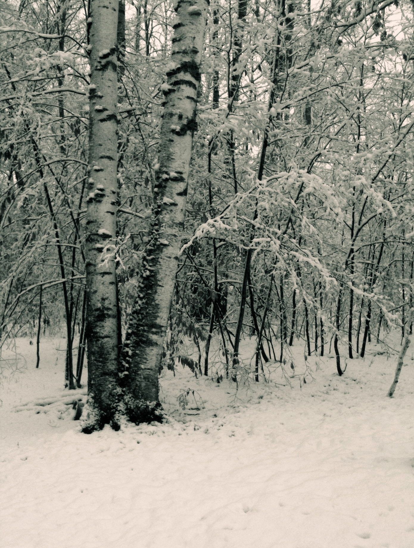
Birch in Winter
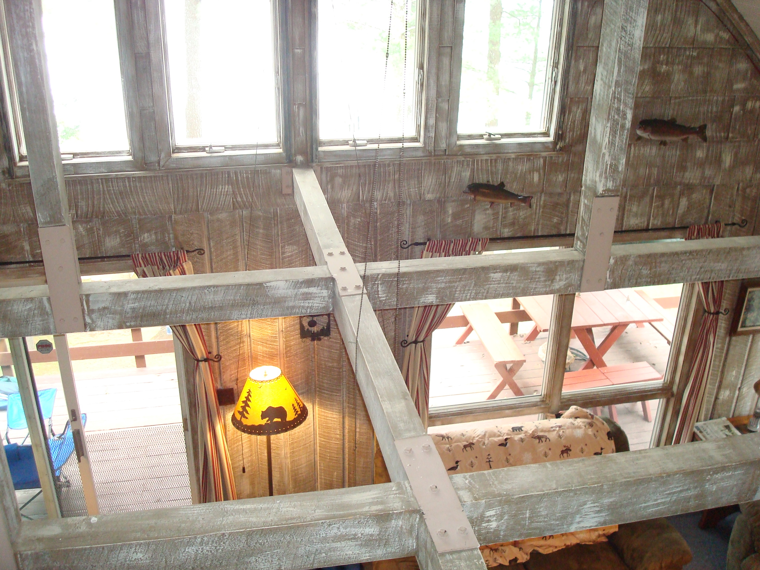
from second floor of the cabin
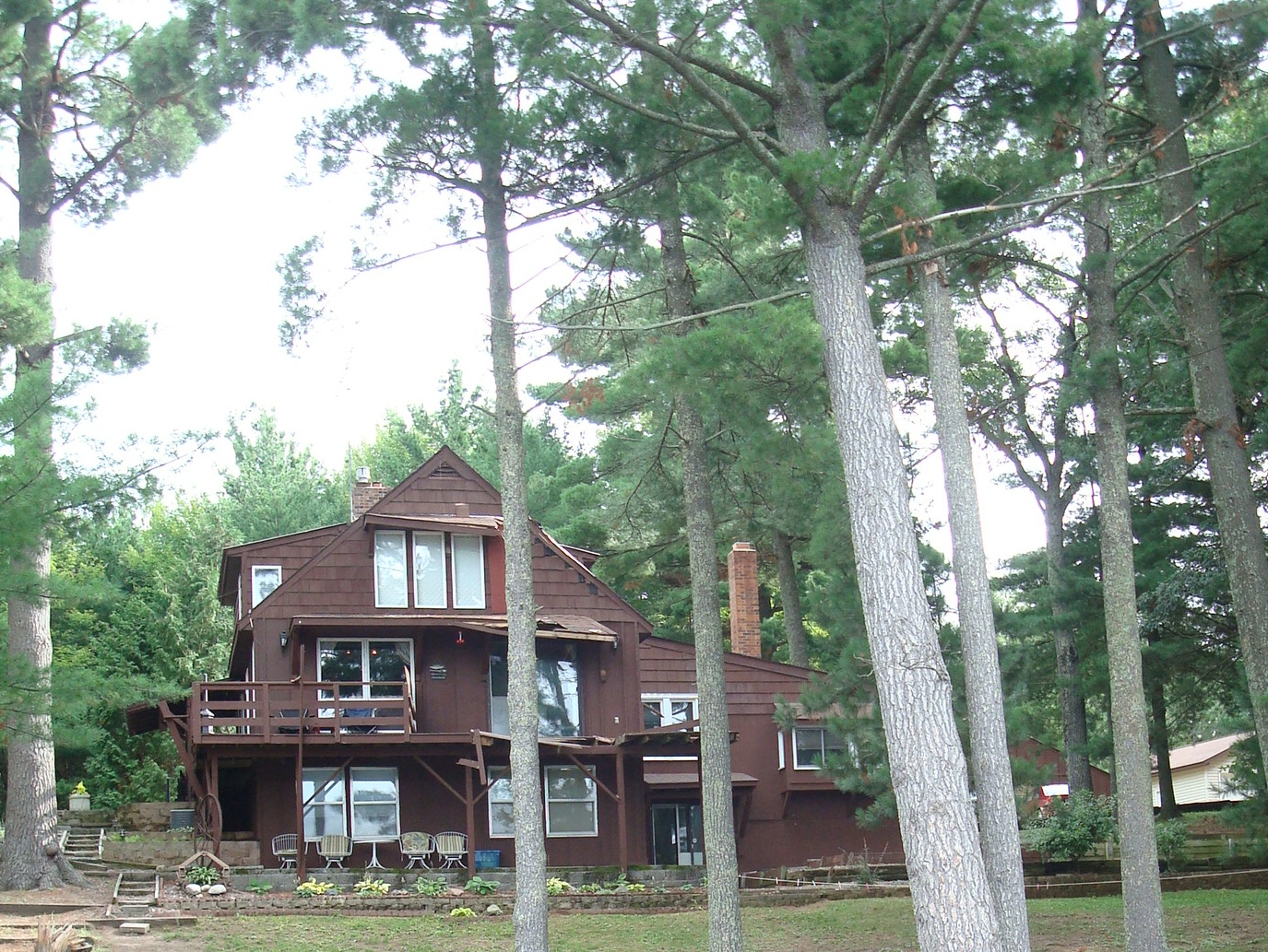
cabin damage

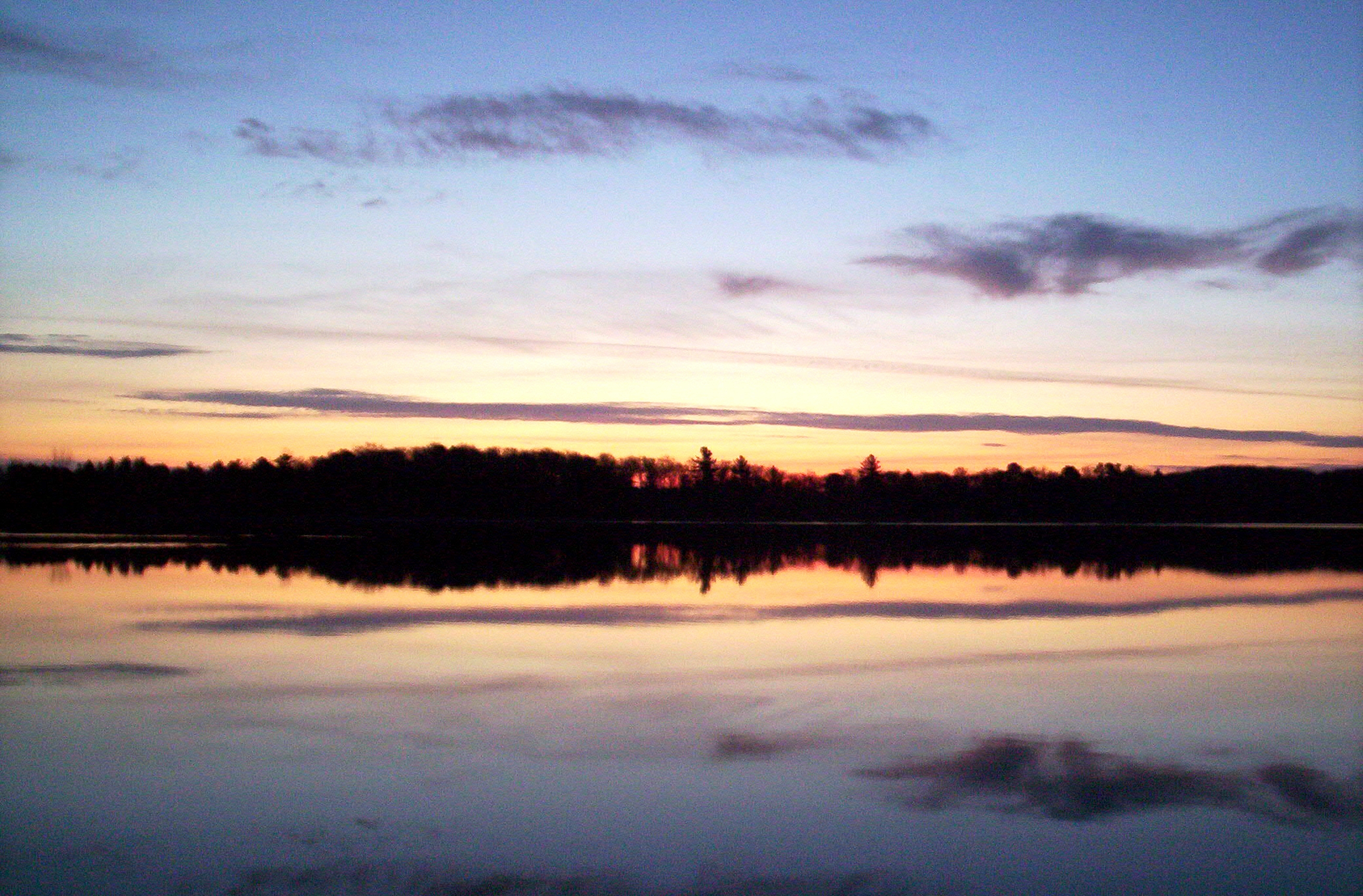
Peaceful Morning
Sunrise 1
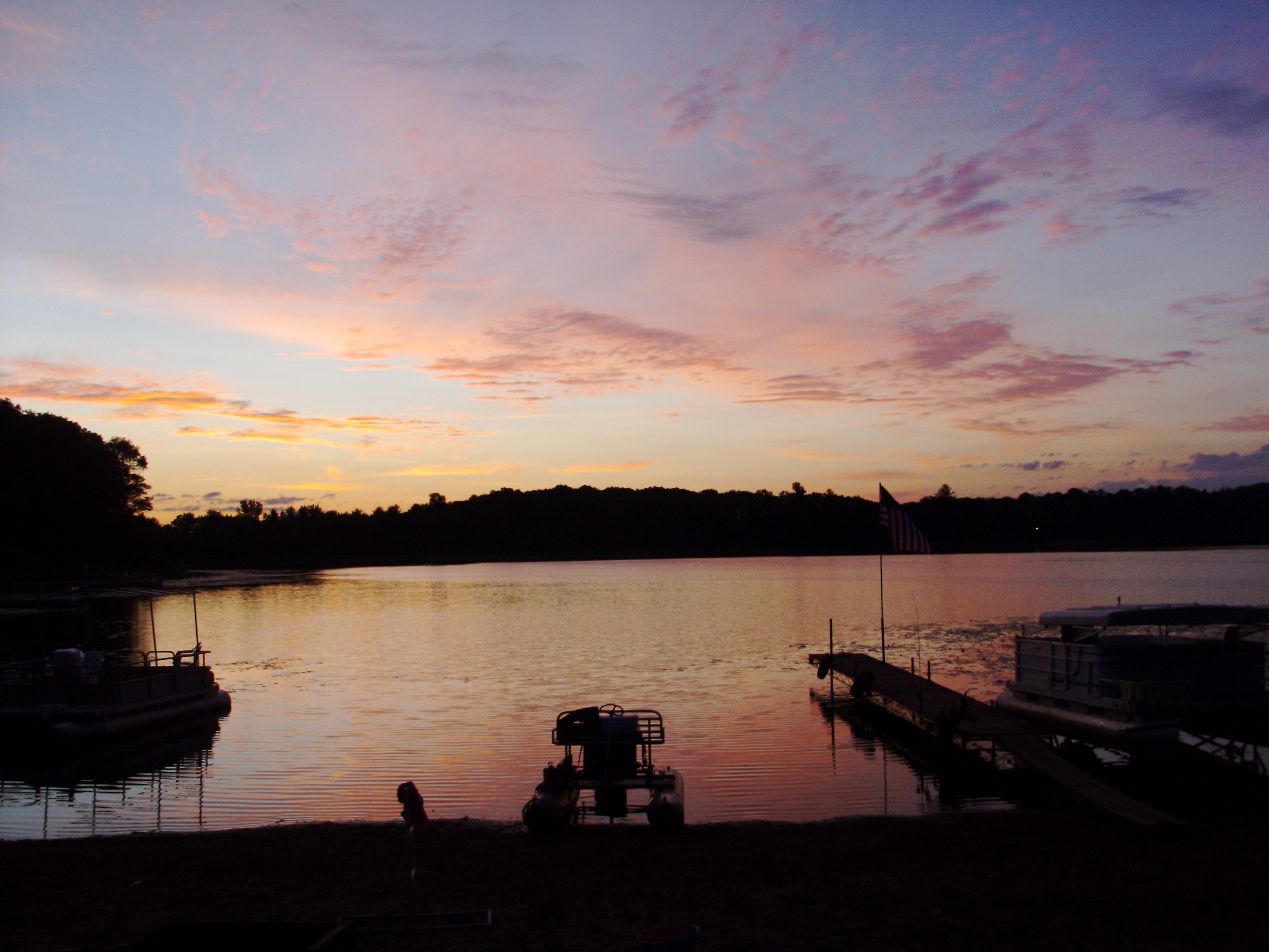
Sunrise 2
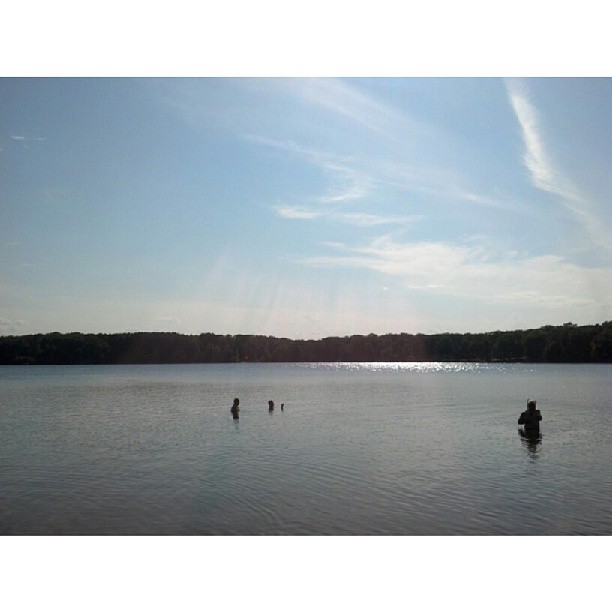
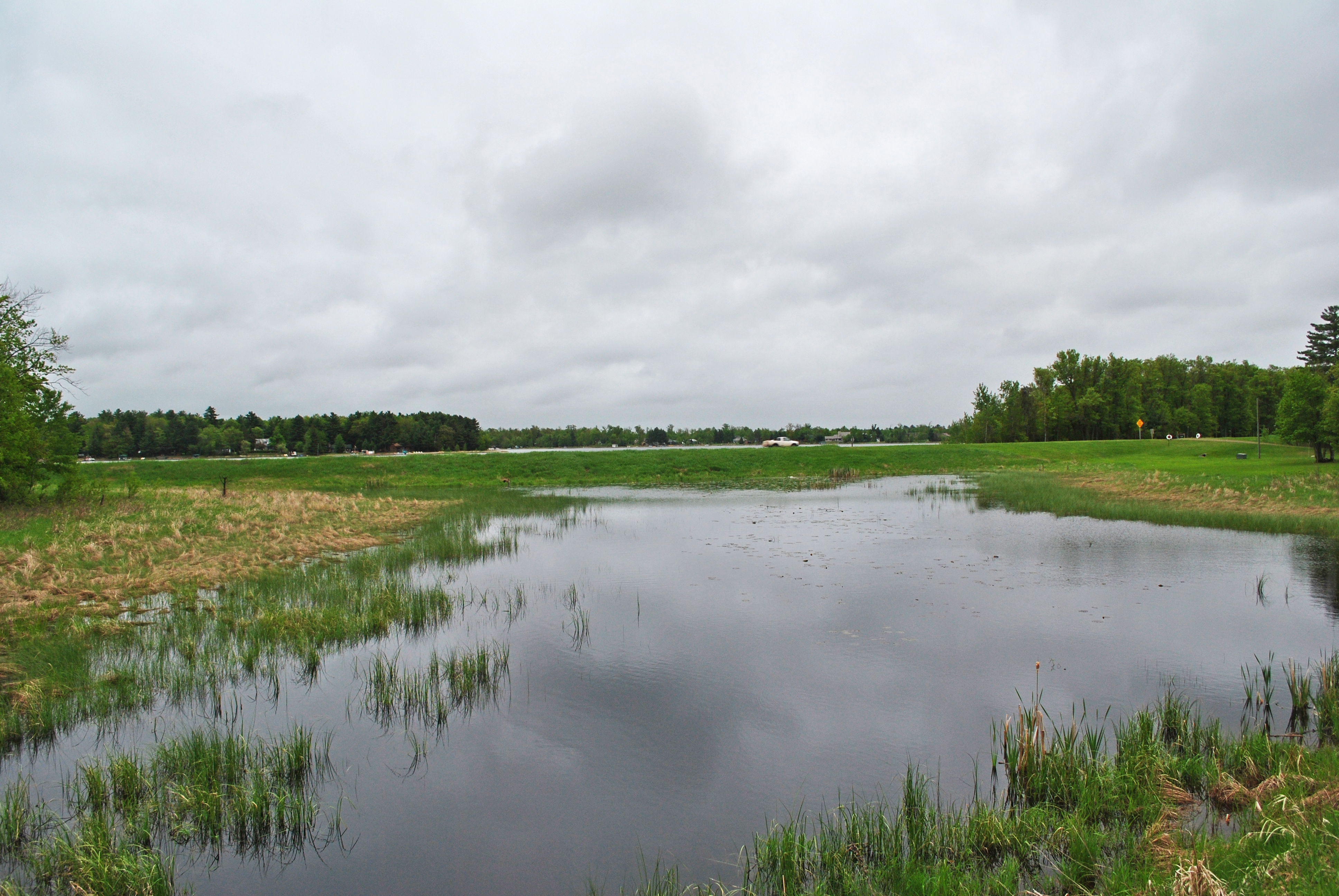
Round Lake
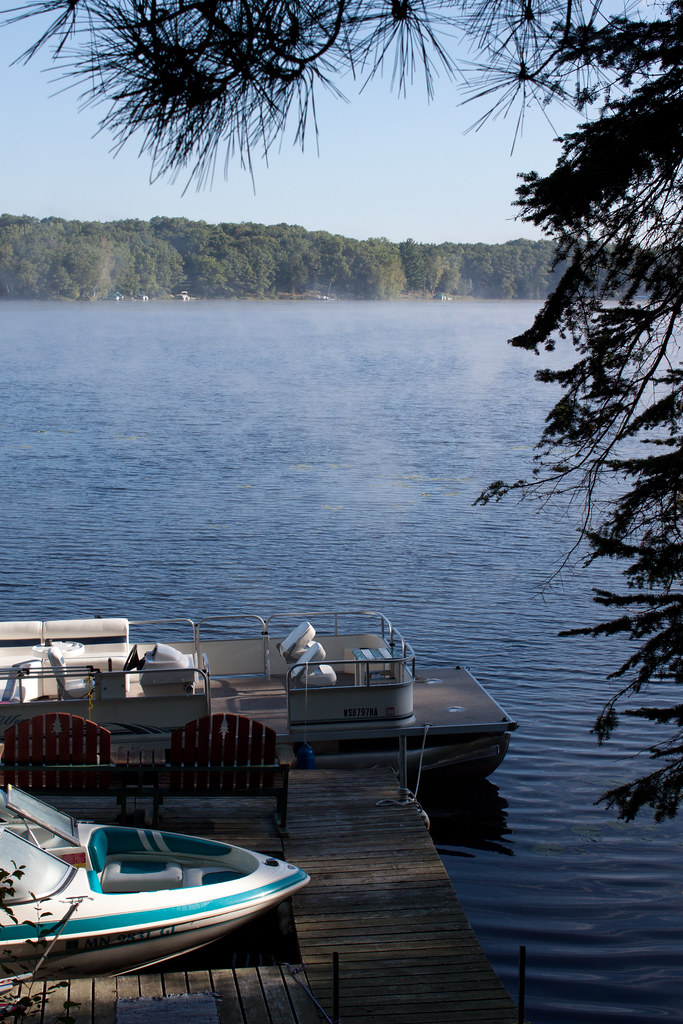
Morning Fog 4

Spider Paradise
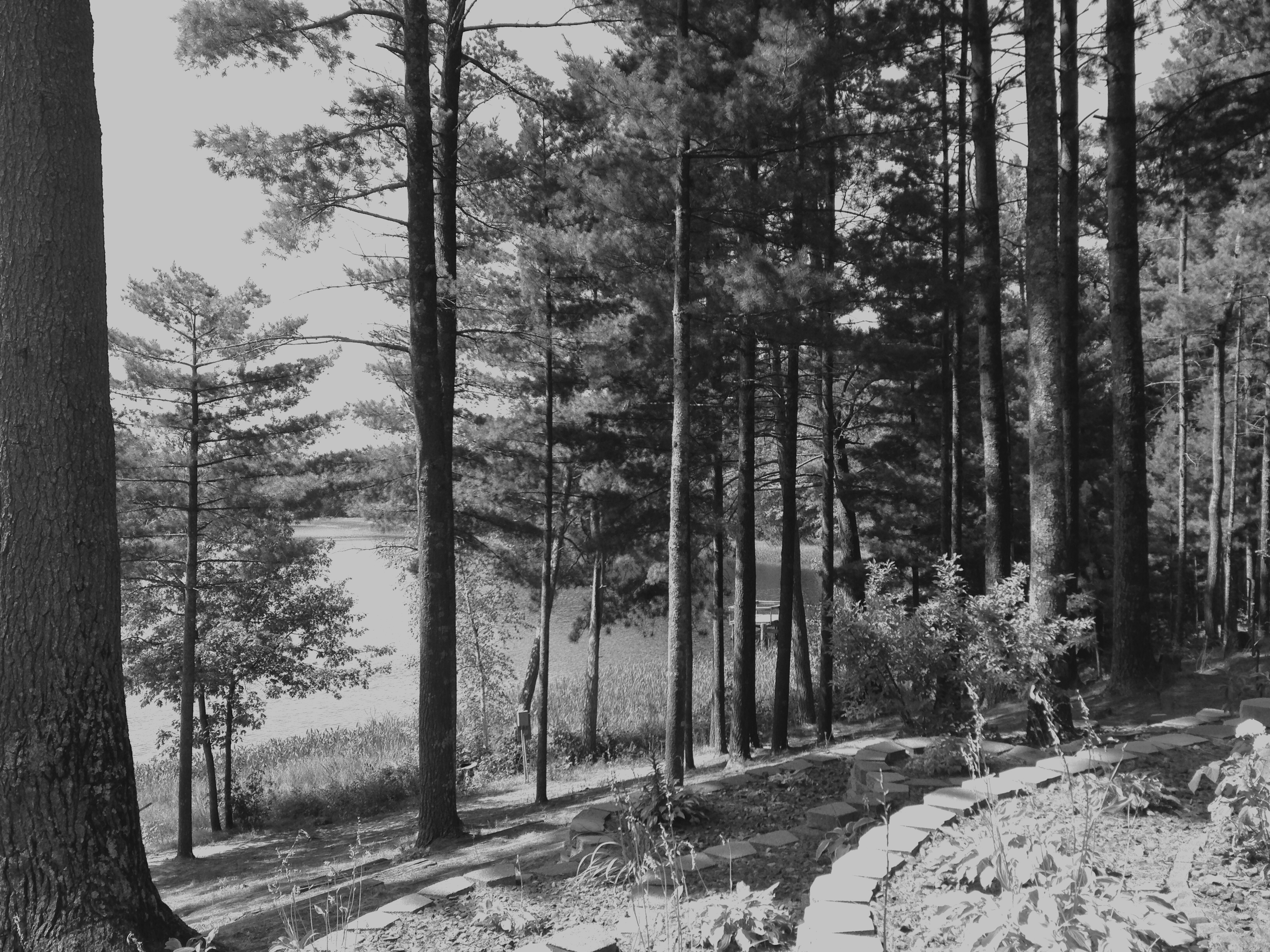
more trees

Good Morning Spiders!

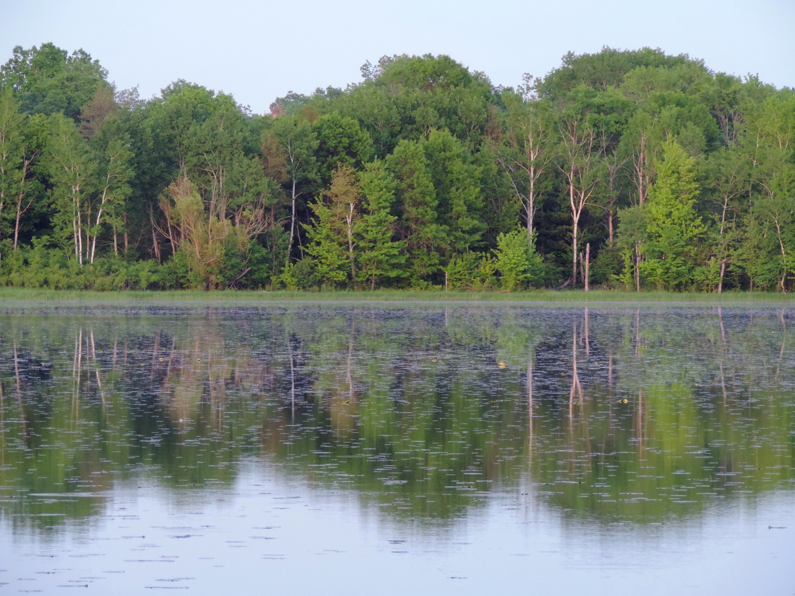
treeline reflection

Wisconsin Sunrise

A Big Pit in Oakland Township
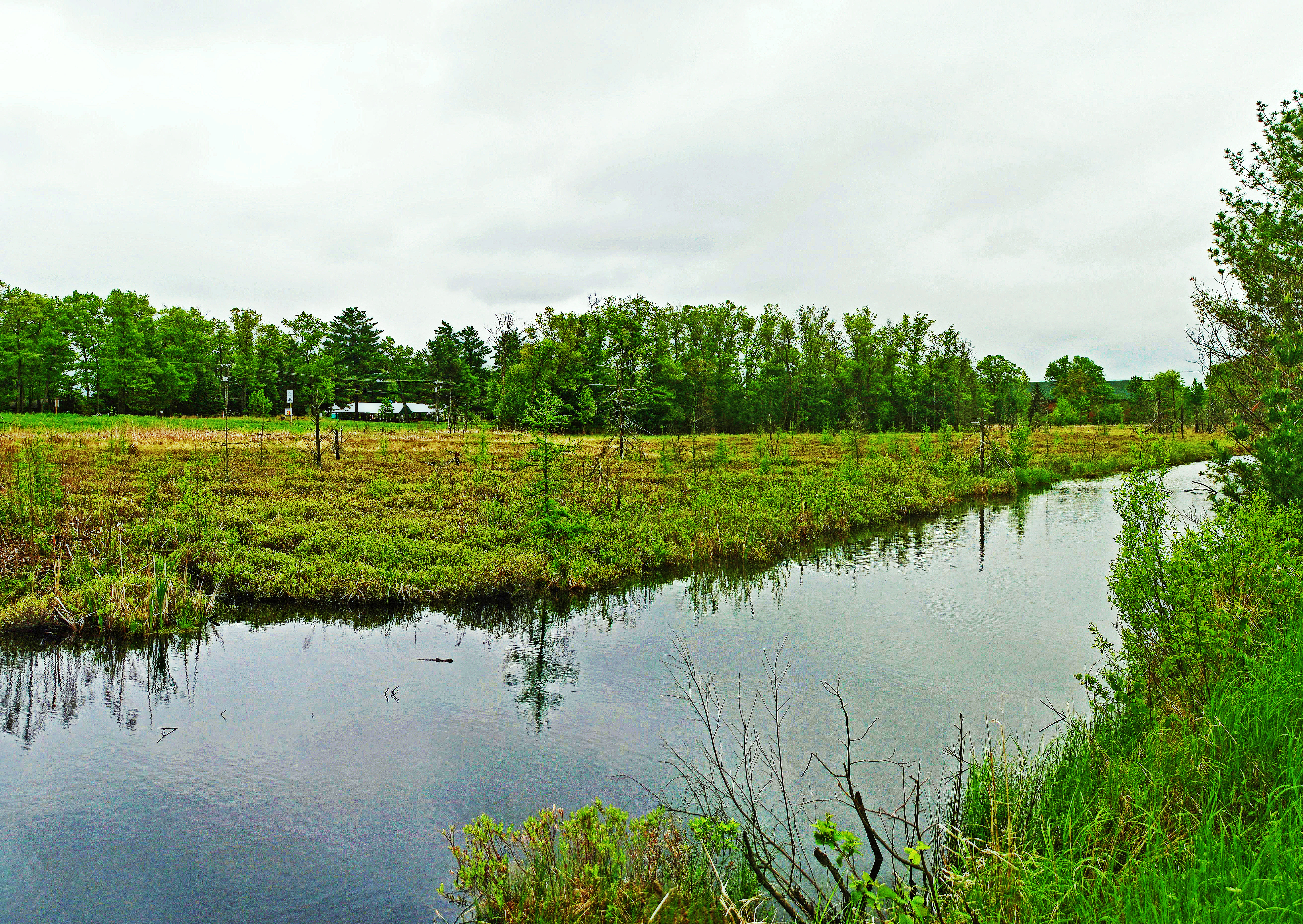
Fish Lake
Along the Gandy Dancer State Trail

herz1001 6.10.10.7_2
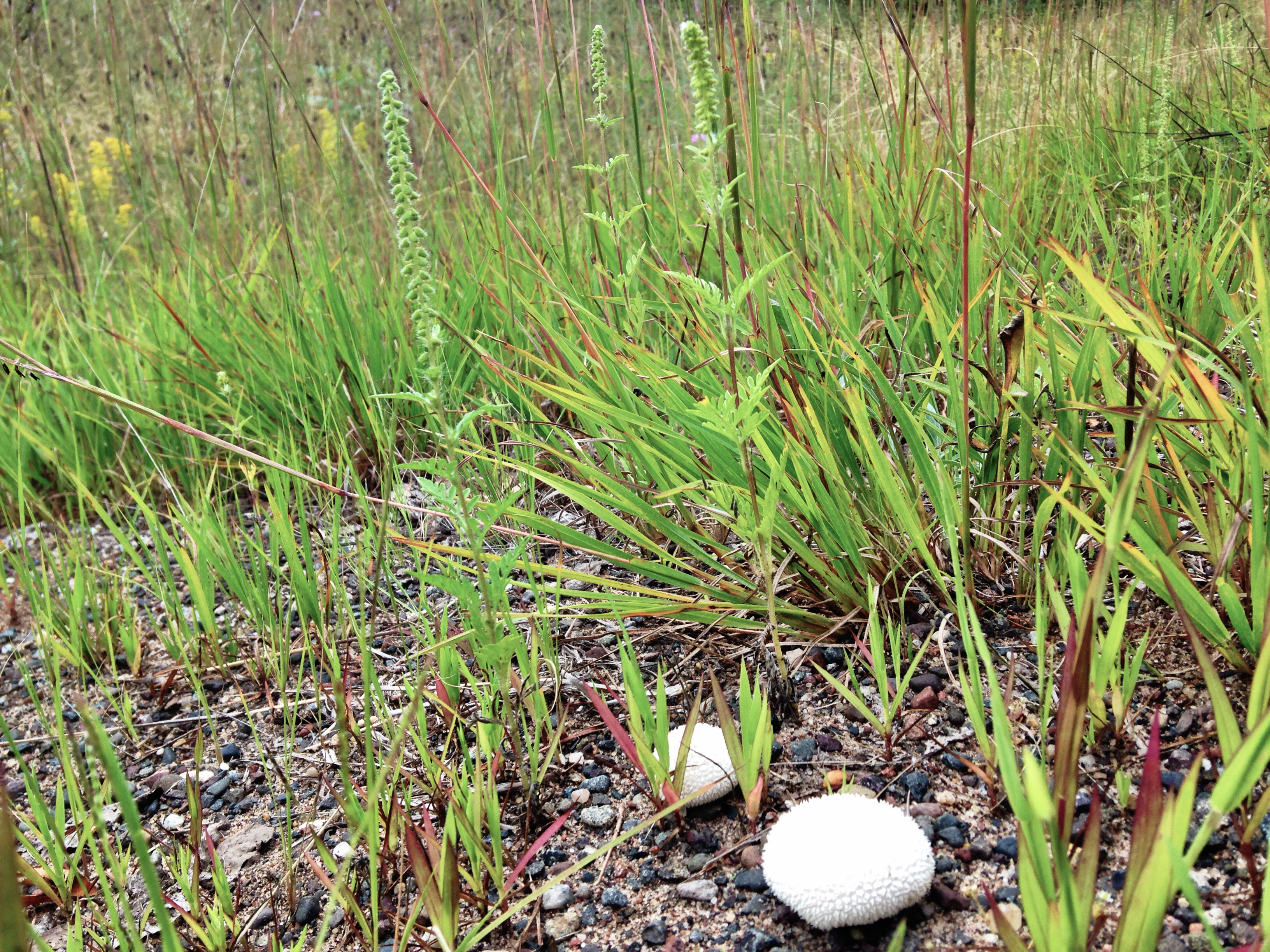
"egg" mushroom
Along the Gandy Dancer State Trail

Wood Ticks waiting
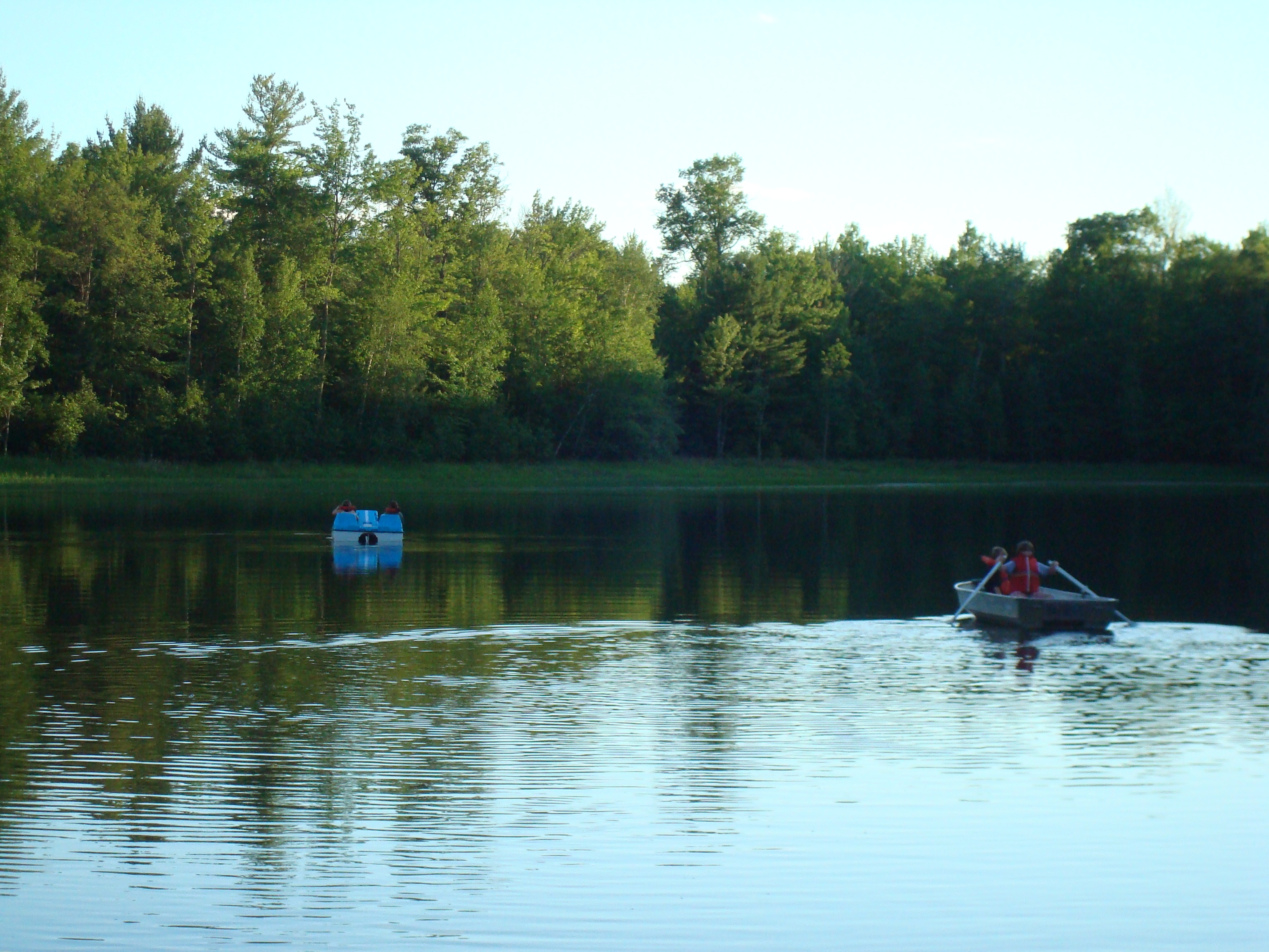
rowing and paddling
Walk on by
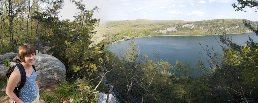
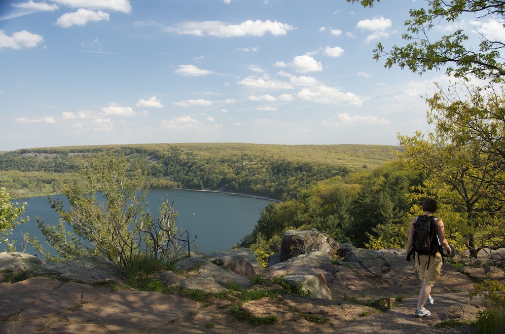
Devil's Lake Panorama
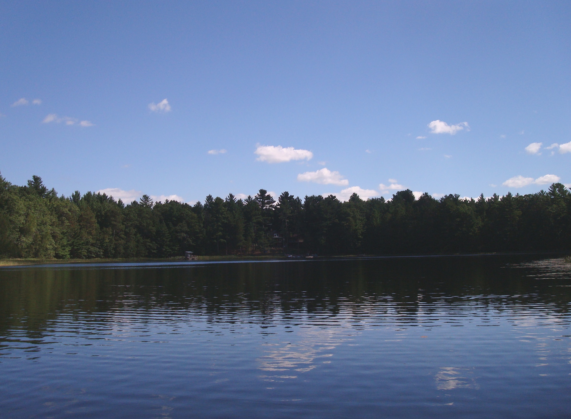
from across the lake (on a canoe)
Topographic Map of Meenon, WI, USA
Find elevation by address:

Places in Meenon, WI, USA:
Places near Meenon, WI, USA:
5974 Peterson Rd
Horseshoe Trail, Webster, WI, USA
5609 Co Rd X
Wisconsin 35
Webster
Burnett County
28203 S Johnson Lake Rd
6810 Lone Star Rd
Sand Lake
8161 Moline Rd
24747 Anchor Inn Rd
La Follette
4538 Hawks Nest Ct
Danbury
3409 65th St
Great Bear Pass
Clam Falls
29273 Pine Knoll Ln
Scott
2nd Ave, Markville, MN, USA
Recent Searches:
- Elevation of Corso Fratelli Cairoli, 35, Macerata MC, Italy
- Elevation of Tallevast Rd, Sarasota, FL, USA
- Elevation of 4th St E, Sonoma, CA, USA
- Elevation of Black Hollow Rd, Pennsdale, PA, USA
- Elevation of Oakland Ave, Williamsport, PA, USA
- Elevation of Pedrógão Grande, Portugal
- Elevation of Klee Dr, Martinsburg, WV, USA
- Elevation of Via Roma, Pieranica CR, Italy
- Elevation of Tavkvetili Mountain, Georgia
- Elevation of Hartfords Bluff Cir, Mt Pleasant, SC, USA