Elevation of Clam Falls, WI, USA
Location: United States > Wisconsin > Polk County >
Longitude: -92.338761
Latitude: 45.6714052
Elevation: 350m / 1148feet
Barometric Pressure: 97KPa
Elevation Map:
Satellite Map:
Related Photos:
apr_21c my favorite shot

Fish Lake

Along the Gandy Dancer State Trail

Along the Gandy Dancer State Trail

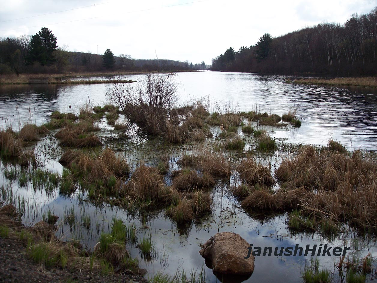
Marshy Paradise

IMG_1220.JPG

IMG_1243.JPG

Frederic Depot
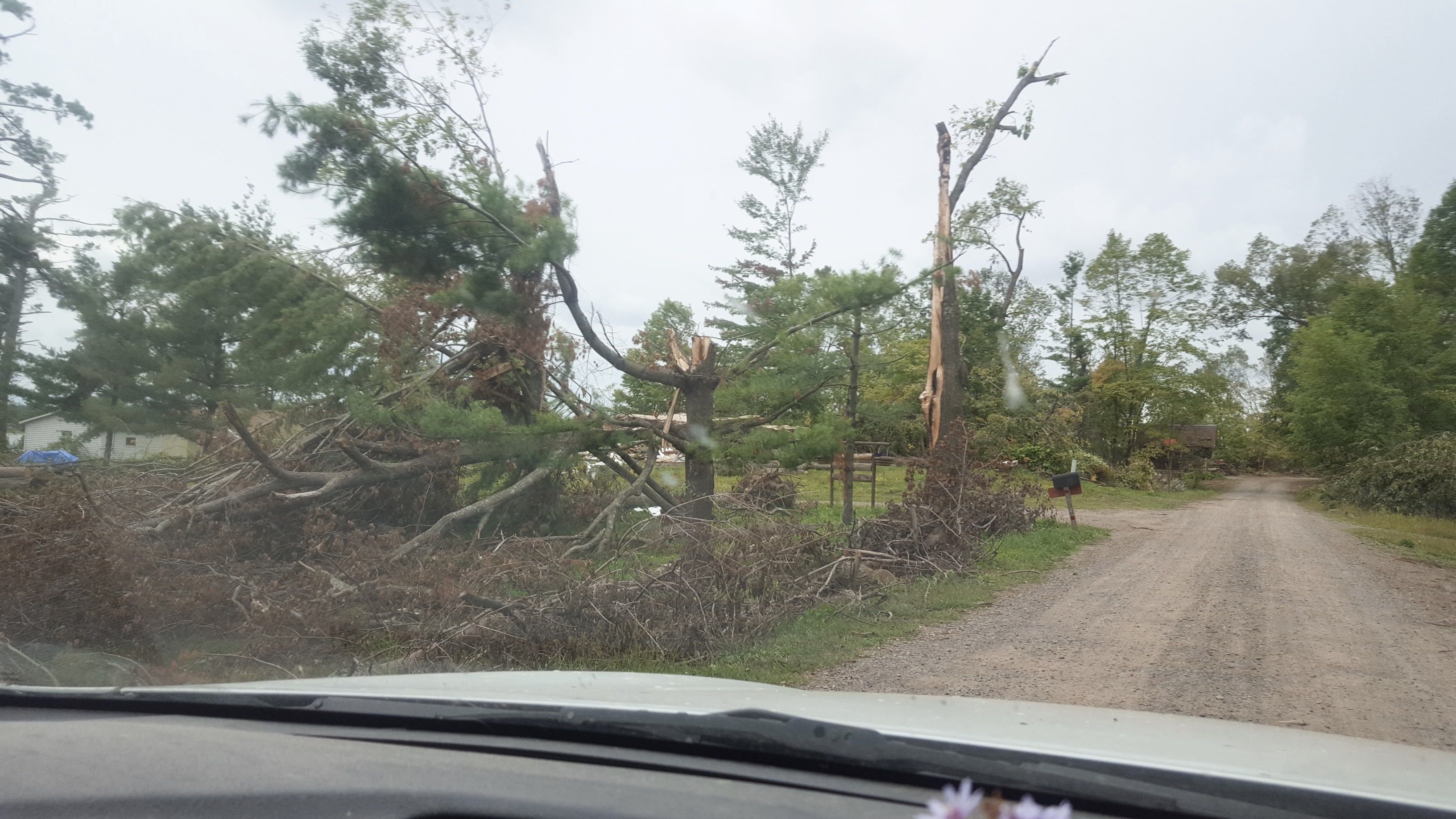
poor pines

one of the roof killer

more of the killer

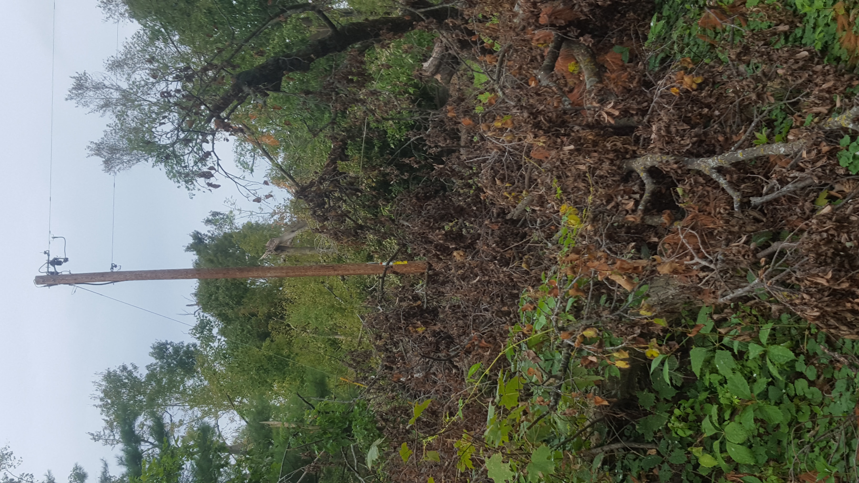
eagle tree

so much wood

the old eagle nest was there

looking downhill

wee bit big

the mess ear the camera

more holes

tired from the cutting
trees up the hill

the main tent at the cabin

front door

so much to clear

my favorite tree

neighbors rebuilding

tree poked in

found the pontoon

top ridge over the bed
Topographic Map of Clam Falls, WI, USA
Find elevation by address:

Places near Clam Falls, WI, USA:
3409 65th St
6810 Lone Star Rd
Frederic
W Oak St, Frederic, WI, USA
Burnett County
La Follette
24747 Anchor Inn Rd
5974 Peterson Rd
Meenon
8161 Moline Rd
Wisconsin 35
Horseshoe Trail, Webster, WI, USA
5609 Co Rd X
Webster
Sand Lake
Polk County
Maple Plain
3rd Street
28203 S Johnson Lake Rd
Mains Crossing Avenue
Recent Searches:
- Elevation of Corso Fratelli Cairoli, 35, Macerata MC, Italy
- Elevation of Tallevast Rd, Sarasota, FL, USA
- Elevation of 4th St E, Sonoma, CA, USA
- Elevation of Black Hollow Rd, Pennsdale, PA, USA
- Elevation of Oakland Ave, Williamsport, PA, USA
- Elevation of Pedrógão Grande, Portugal
- Elevation of Klee Dr, Martinsburg, WV, USA
- Elevation of Via Roma, Pieranica CR, Italy
- Elevation of Tavkvetili Mountain, Georgia
- Elevation of Hartfords Bluff Cir, Mt Pleasant, SC, USA