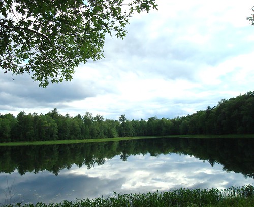
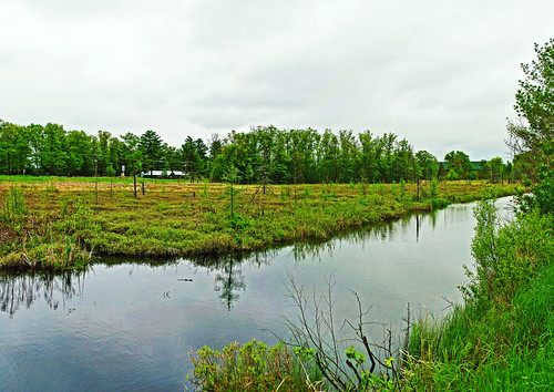
Elevation of Horseshoe Trail, Webster, WI, USA
Location: United States > Wisconsin > Burnett County > Sand Lake >
Longitude: -92.278838
Latitude: 45.8644111
Elevation: 301m / 988feet
Barometric Pressure: 98KPa
Related Photos:
Topographic Map of Horseshoe Trail, Webster, WI, USA
Find elevation by address:

Places near Horseshoe Trail, Webster, WI, USA:
5609 Co Rd X
5974 Peterson Rd
Meenon
Sand Lake
Burnett County
24747 Anchor Inn Rd
28203 S Johnson Lake Rd
Wisconsin 35
Webster
La Follette
6810 Lone Star Rd
4538 Hawks Nest Ct
8161 Moline Rd
Great Bear Pass
3409 65th St
Danbury
29273 Pine Knoll Ln
Scott
Clam Falls
Sykes Road
Recent Searches:
- Elevation of Corso Fratelli Cairoli, 35, Macerata MC, Italy
- Elevation of Tallevast Rd, Sarasota, FL, USA
- Elevation of 4th St E, Sonoma, CA, USA
- Elevation of Black Hollow Rd, Pennsdale, PA, USA
- Elevation of Oakland Ave, Williamsport, PA, USA
- Elevation of Pedrógão Grande, Portugal
- Elevation of Klee Dr, Martinsburg, WV, USA
- Elevation of Via Roma, Pieranica CR, Italy
- Elevation of Tavkvetili Mountain, Georgia
- Elevation of Hartfords Bluff Cir, Mt Pleasant, SC, USA

