Elevation of Lakeview, WA, USA
Location: United States > Washington > Grant County >
Longitude: -119.50225
Latitude: 47.374029
Elevation: 367m / 1204feet
Barometric Pressure: 97KPa
Elevation Map:
Satellite Map:
Related Photos:

Marinating Upon the Great Northwest Country: East of the Cascades (Part 27): Calming Approach

Marinating Upon the Great Northwest Country: East of the Cascades (Part 32): Grand and Commanding

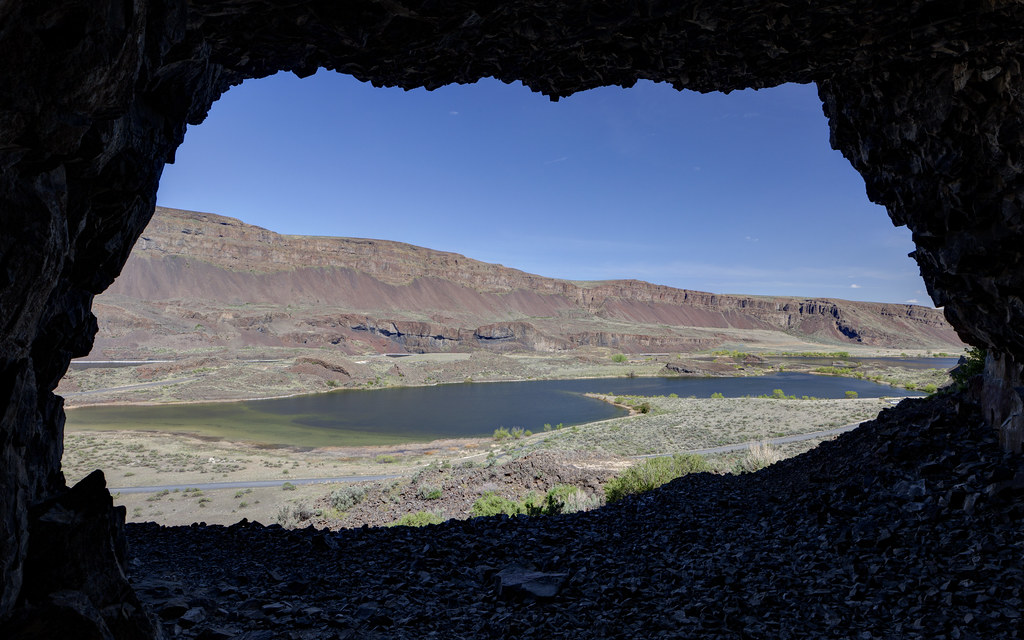
Lake Lenore Caves Park in the Lower Grand Coulee, Washington
Yielding Control
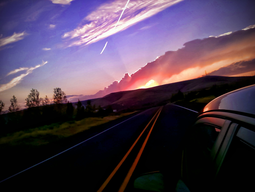
It' s a scenic view driving out to the farm from town. #NorthCascades #Cascades #Easter #GoingHome #KickBackRelax #Wheat #SpringWheat
Marinating Upon the Great Northwest Country: East of the Cascades (Part 24): Classically Presentable (Black n' White Edition)

Waiting to go to Work

Marinating Upon the Great Northwest Country: East of the Cascades (Part 52): Ready for Recreation!!
Taking in the view of the pasture and #wheat fieldsin the late afternoon sun. #LateDaySun #OldMcDonaldHadAFarm #SpringIsOfficiallyHere
A Gap in the Ridge at Lake Lenore Caves

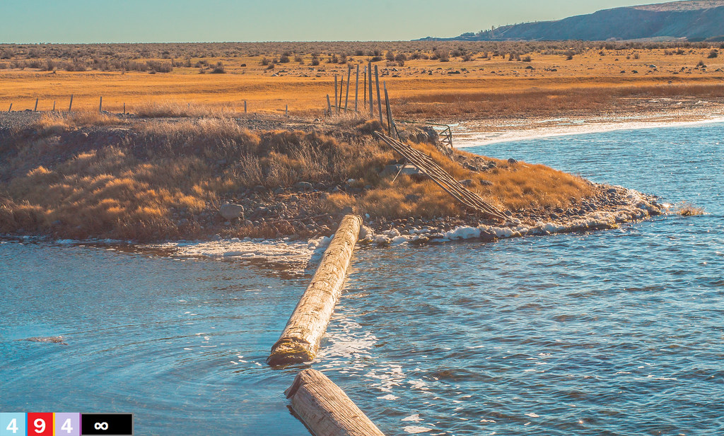
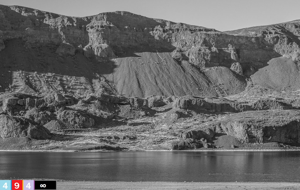
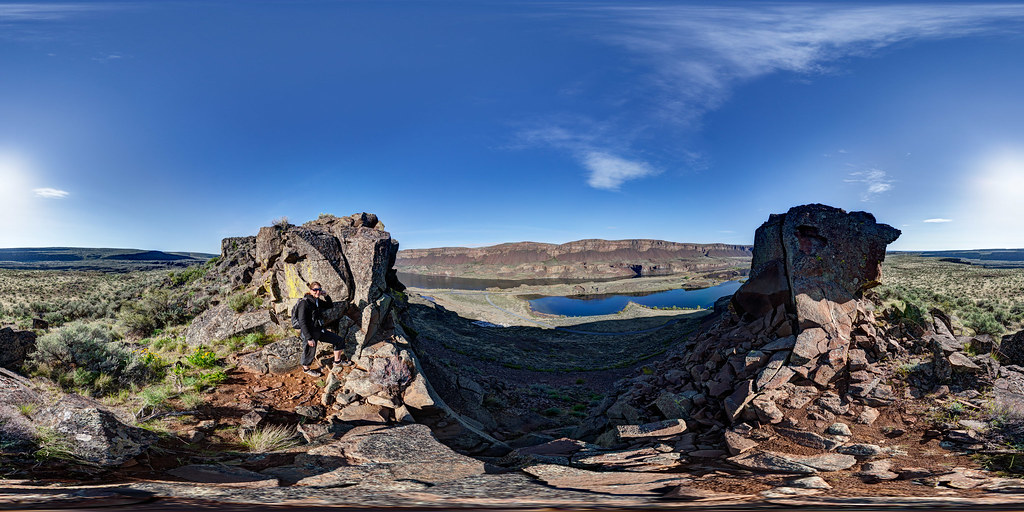
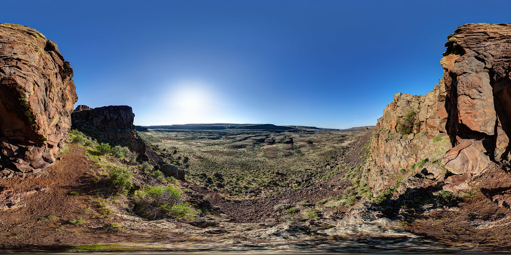
Lenore Lake Basin
Road Trip

Lenore Lake Basin

Lenore Lake Basin

Lenore Lake Basin

Winter Lake

Lenore Lake Basin

FLICKR INFRASTRUCTURE: former crop duster disperses a new cargo (20030927_009)

Lenore Lake Basin

Lenore Lake Basin

Lenore Lake Basin

Healing Waters For One's Soul (Part 2): A Soap Lake Story
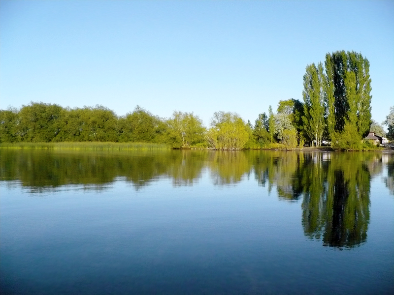
Soap Lake
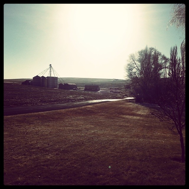
Last day on the farm, and it's a good and sunny Saturday. #CountryLiving #DownTime #Christmas #GoingHome

1693267-R1-E035

Marinating Upon the Great Northwest Country: East of the Cascades (Part 31): Being Surrounded

#soap_lake #washington #reflections #water #driving #hiking #scenic #snapseereflections #clouds

2014.07.22-21.49.54
Looking at the Maze from Above Lake Lenore Caves

#soap_lake #washington #reflections #water #driving #hiking #scenic #snapseereflections #clouds
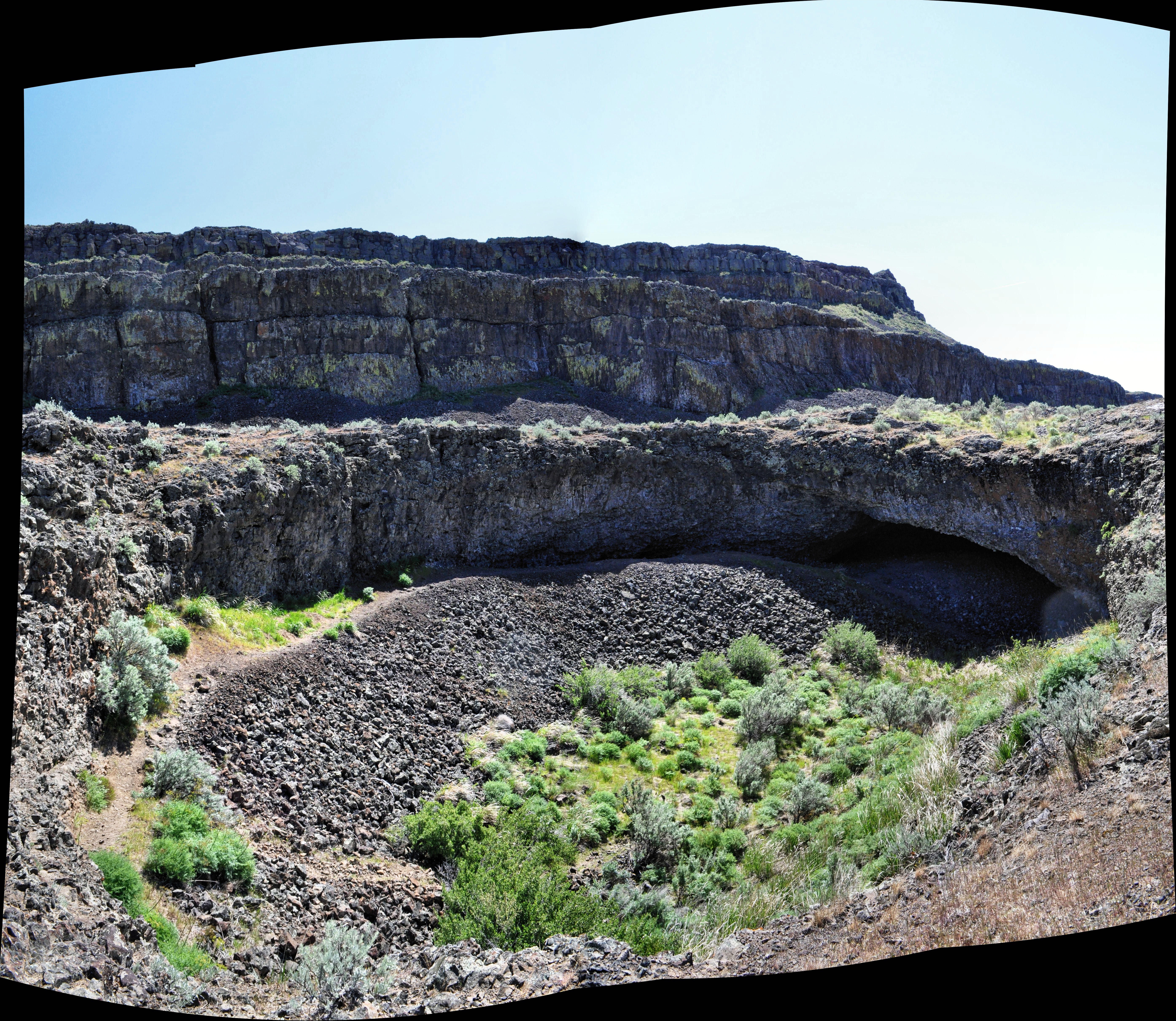
Lake Lenore Caves 5 of 9
Lake Lenore, WA

2013.08.17-18 - Central Washington

_DSC6343.jpg
Topographic Map of Lakeview, WA, USA
Find elevation by address:

Places in Lakeview, WA, USA:
Places near Lakeview, WA, USA:
Grant St NW, Soap Lake, WA, USA
23 2nd Ave Sw
231 6th Ave Se
Soap Lake
216 Elder St N
Rd B NE, Soap Lake, WA, USA
Grant County
Grant County International Airport-mwh
Lakeshore Dr NE, Coulee City, WA, USA
Division Rd N, Moses Lake, WA, USA
Moses Lake, WA, USA
Coulee City
Prichard Rd, Moses Lake, WA, USA
101 W Douglas St
Rd 36 NE, Soap Lake, WA, USA
Moses Lake
3211 W Wapato Dr
1600 S Beaumont Dr
Wilson Creek
Crab Creek
Recent Searches:
- Elevation of Corso Fratelli Cairoli, 35, Macerata MC, Italy
- Elevation of Tallevast Rd, Sarasota, FL, USA
- Elevation of 4th St E, Sonoma, CA, USA
- Elevation of Black Hollow Rd, Pennsdale, PA, USA
- Elevation of Oakland Ave, Williamsport, PA, USA
- Elevation of Pedrógão Grande, Portugal
- Elevation of Klee Dr, Martinsburg, WV, USA
- Elevation of Via Roma, Pieranica CR, Italy
- Elevation of Tavkvetili Mountain, Georgia
- Elevation of Hartfords Bluff Cir, Mt Pleasant, SC, USA