Elevation of 23 2nd Ave SW, Soap Lake, WA, USA
Location: United States > Washington > Grant County > Soap Lake >
Longitude: -119.49137
Latitude: 47.3863334
Elevation: 340m / 1115feet
Barometric Pressure: 97KPa
Elevation Map:
Satellite Map:
Related Photos:

Marinating Upon the Great Northwest Country: East of the Cascades (Part 27): Calming Approach

Lake Lenore Caves Park in the Lower Grand Coulee, Washington

Marinating Upon the Great Northwest Country: East of the Cascades (Part 30): Classically Frozen (Black n White Edition)

Marinating Upon the Great Northwest Country: East of the Cascades (Part 23): Surrounded By Bliss
Behind the Ridge at Lake Lenore Caves

A Gap in the Ridge at Lake Lenore Caves
Marinating Upon the Great Northwest Country: East of the Cascades (Part 22): Silent Moments

Marinating Upon the Great Northwest Country: East of the Cascades (Part 24): Classically Presentable (Black n' White Edition)

Marinating Upon the Great Northwest Country: East of the Cascades (Part 28): First Contact

FLICKR INFRASTRUCTURE: former crop duster disperses a new cargo (20030927_009)

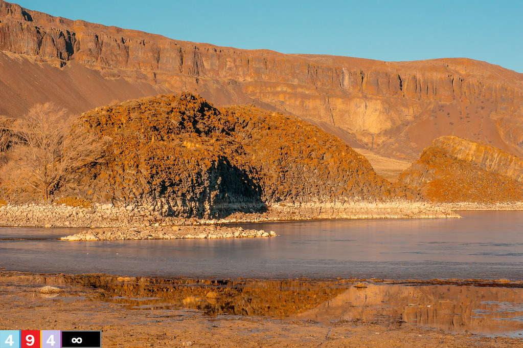
Two Caves at Lake Lenore, Washington

American pipit (Anthus rubescens rubescens)

Eagle View

Long-billed Dowitcher (Limnodromus scolopaceus)
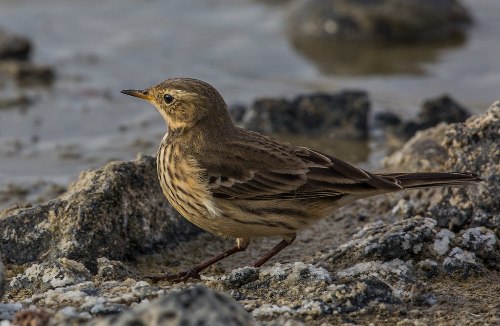
American pipit (Anthus rubescens rubescens)

Yielding Control

Marinating Upon the Great Northwest Country: East of the Cascades (Part 32): Grand and Commanding

Waiting to go to Work

Marinating Upon the Great Northwest Country: East of the Cascades (Part 52): Ready for Recreation!!

Aurora Borealis

2018-09-19 14;42;30

Soapy Lenore Lake

From Within

Baird Springs Road

Looking at the Maze from Above Lake Lenore Caves

20190313 5DIV Washington State 72

Contorted columnar basalt...20030928_012

On The Road Again

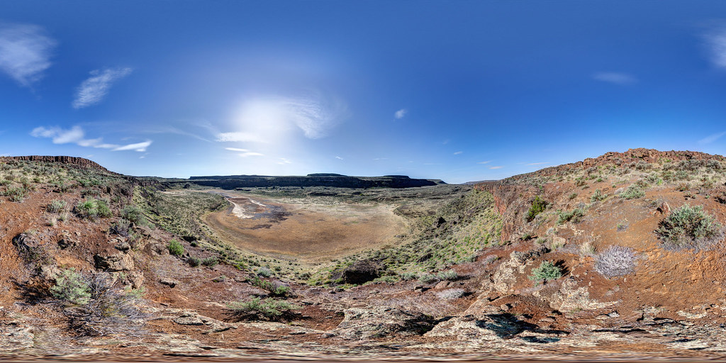
Lenore Lake Pano

Sky's The Limit
Topographic Map of 23 2nd Ave SW, Soap Lake, WA, USA
Find elevation by address:

Places near 23 2nd Ave SW, Soap Lake, WA, USA:
Soap Lake
231 6th Ave Se
216 Elder St N
Grant St NW, Soap Lake, WA, USA
Lakeview
Rd B NE, Soap Lake, WA, USA
Grant County
Lakeshore Dr NE, Coulee City, WA, USA
Grant County International Airport-mwh
Division Rd N, Moses Lake, WA, USA
Moses Lake, WA, USA
Coulee City
101 W Douglas St
Rd 36 NE, Soap Lake, WA, USA
Prichard Rd, Moses Lake, WA, USA
Moses Lake
3211 W Wapato Dr
1600 S Beaumont Dr
Wilson Creek
12976 N Frontage Rd
Recent Searches:
- Elevation of Corso Fratelli Cairoli, 35, Macerata MC, Italy
- Elevation of Tallevast Rd, Sarasota, FL, USA
- Elevation of 4th St E, Sonoma, CA, USA
- Elevation of Black Hollow Rd, Pennsdale, PA, USA
- Elevation of Oakland Ave, Williamsport, PA, USA
- Elevation of Pedrógão Grande, Portugal
- Elevation of Klee Dr, Martinsburg, WV, USA
- Elevation of Via Roma, Pieranica CR, Italy
- Elevation of Tavkvetili Mountain, Georgia
- Elevation of Hartfords Bluff Cir, Mt Pleasant, SC, USA