Elevation map of Klamath County, OR, USA
Location: United States > Oregon >
Longitude: -121.6142133
Latitude: 42.6952767
Elevation: 1518m / 4980feet
Barometric Pressure: 0KPa
Related Photos:
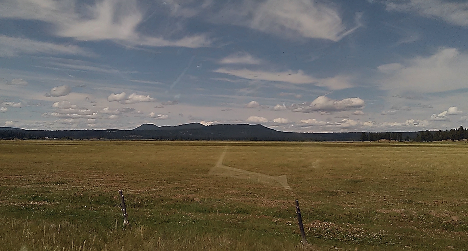
Oregon, thru the car window
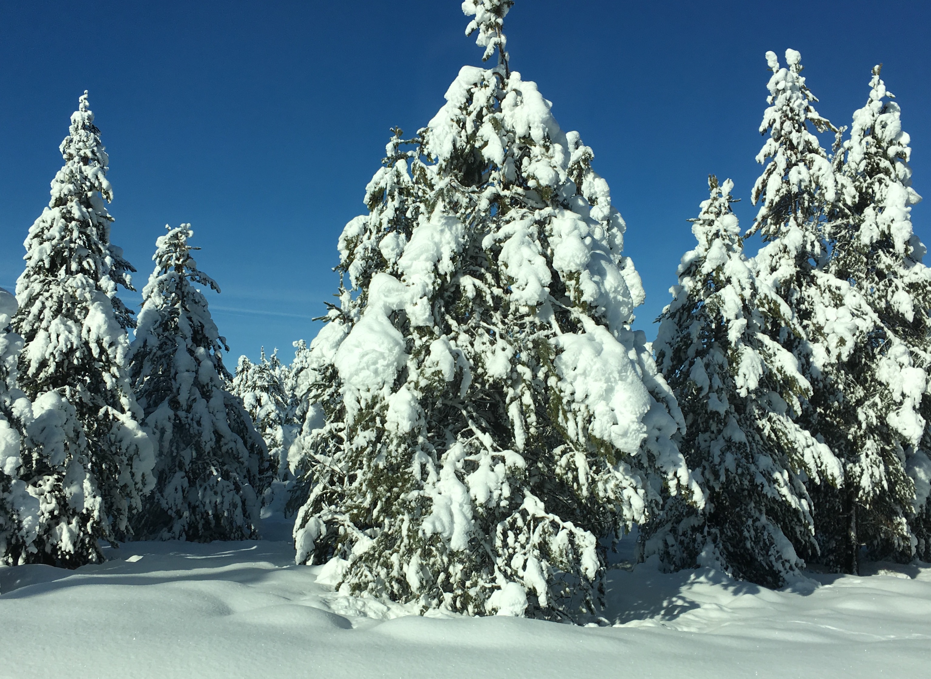
Naturally flocked
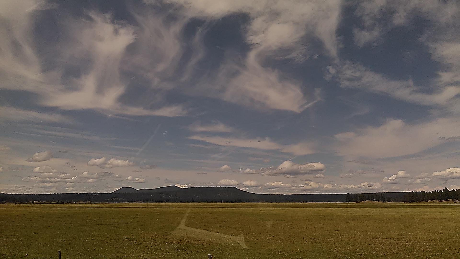
Oregon, thru the car window

Visitor Meanwhile
Topographic Map of Klamath County, OR, USA
Find elevation by address:

Places in Klamath County, OR, USA:
Klamath Falls
Bonanza
Merrill
Keno
Bly
E Langell Valley Rd, Bonanza, OR, USA
Rocky Point
Gilchrist
Chemult
US-97, Chemult, OR, USA
Midland
Sprague River
45500 Or-140
The Watchman
Hildebrand
Crater Lake Lodge
Obenchain Reservoir
Crater Lake
Places near Klamath County, OR, USA:
Klamath Falls
36070 Saddle Mountain Pit Rd
33185 Elde St
23401 Mt Trout Ln
23417 Cherrywood Ln
Sprague River
1084 Eastern Brook Ln
42260 Brook Trout Ln
Chiloquin
Swan Lake Point
Winema National Forest
38070 Aspenwood Ct
Oregon Pines Road
38038 Modoc Point Rd
Mark Court
Yamsay Mountain
33829 Golden Meadow Rd
Modoc Point Rd, Chiloquin, OR, USA
14656 N Meadow Lark Dr
14656 N Meadow Lark Dr
Recent Searches:
- Elevation map of Greenland, Greenland
- Elevation of Sullivan Hill, New York, New York, 10002, USA
- Elevation of Morehead Road, Withrow Downs, Charlotte, Mecklenburg County, North Carolina, 28262, USA
- Elevation of 2800, Morehead Road, Withrow Downs, Charlotte, Mecklenburg County, North Carolina, 28262, USA
- Elevation of Yangbi Yi Autonomous County, Yunnan, China
- Elevation of Pingpo, Yangbi Yi Autonomous County, Yunnan, China
- Elevation of Mount Malong, Pingpo, Yangbi Yi Autonomous County, Yunnan, China
- Elevation map of Yongping County, Yunnan, China
- Elevation of North 8th Street, Palatka, Putnam County, Florida, 32177, USA
- Elevation of 107, Big Apple Road, East Palatka, Putnam County, Florida, 32131, USA
- Elevation of Jiezi, Chongzhou City, Sichuan, China
- Elevation of Chongzhou City, Sichuan, China
- Elevation of Huaiyuan, Chongzhou City, Sichuan, China
- Elevation of Qingxia, Chengdu, Sichuan, China
- Elevation of Corso Fratelli Cairoli, 35, Macerata MC, Italy
- Elevation of Tallevast Rd, Sarasota, FL, USA
- Elevation of 4th St E, Sonoma, CA, USA
- Elevation of Black Hollow Rd, Pennsdale, PA, USA
- Elevation of Oakland Ave, Williamsport, PA, USA
- Elevation of Pedrógão Grande, Portugal