Elevation of Winema National Forest, Oregon, USA
Location: United States > Oregon > Chiloquin >
Longitude: -121.81363
Latitude: 42.9373549
Elevation: 1387m / 4551feet
Barometric Pressure: 86KPa
Elevation Map:
Satellite Map:
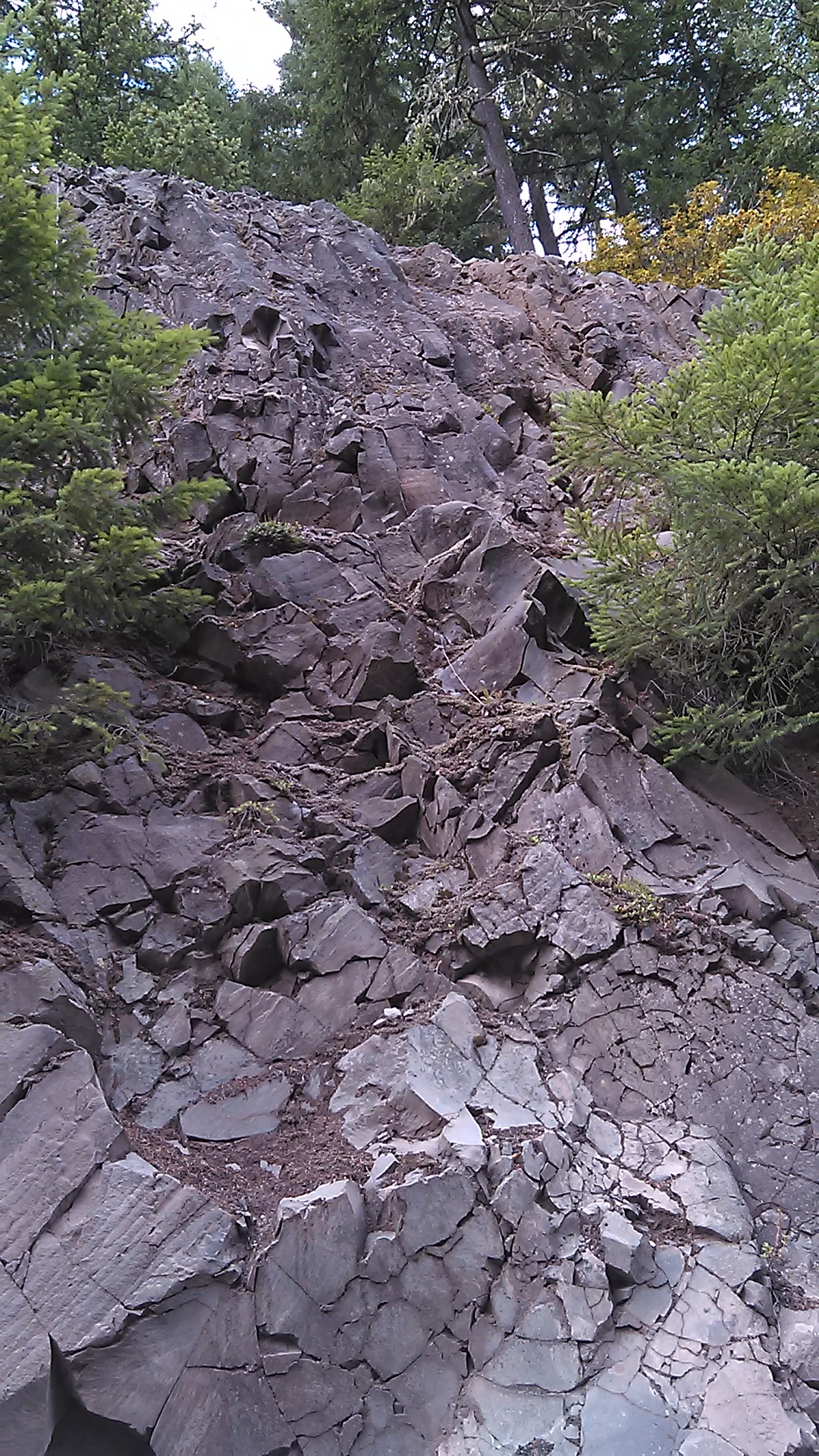
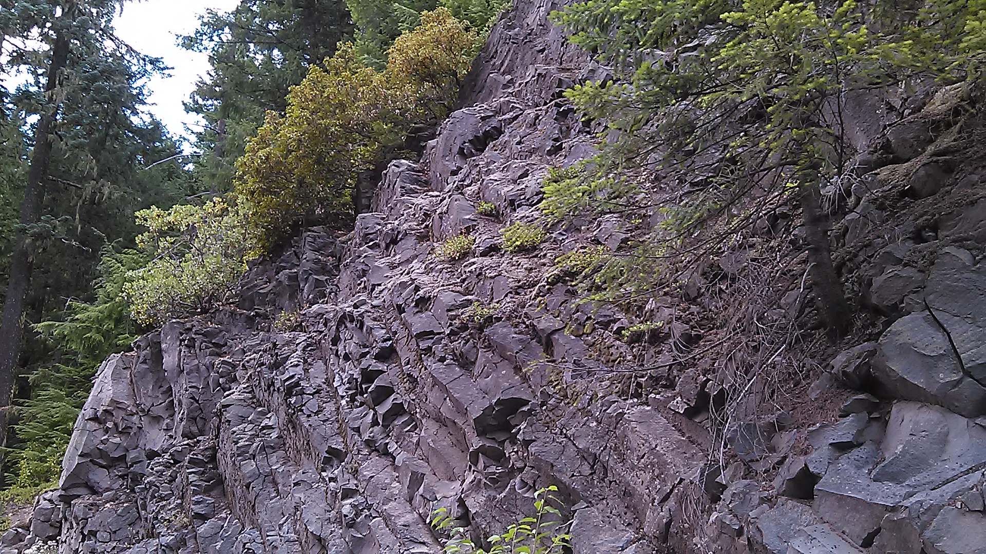
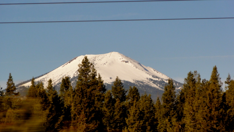
Related Photos:
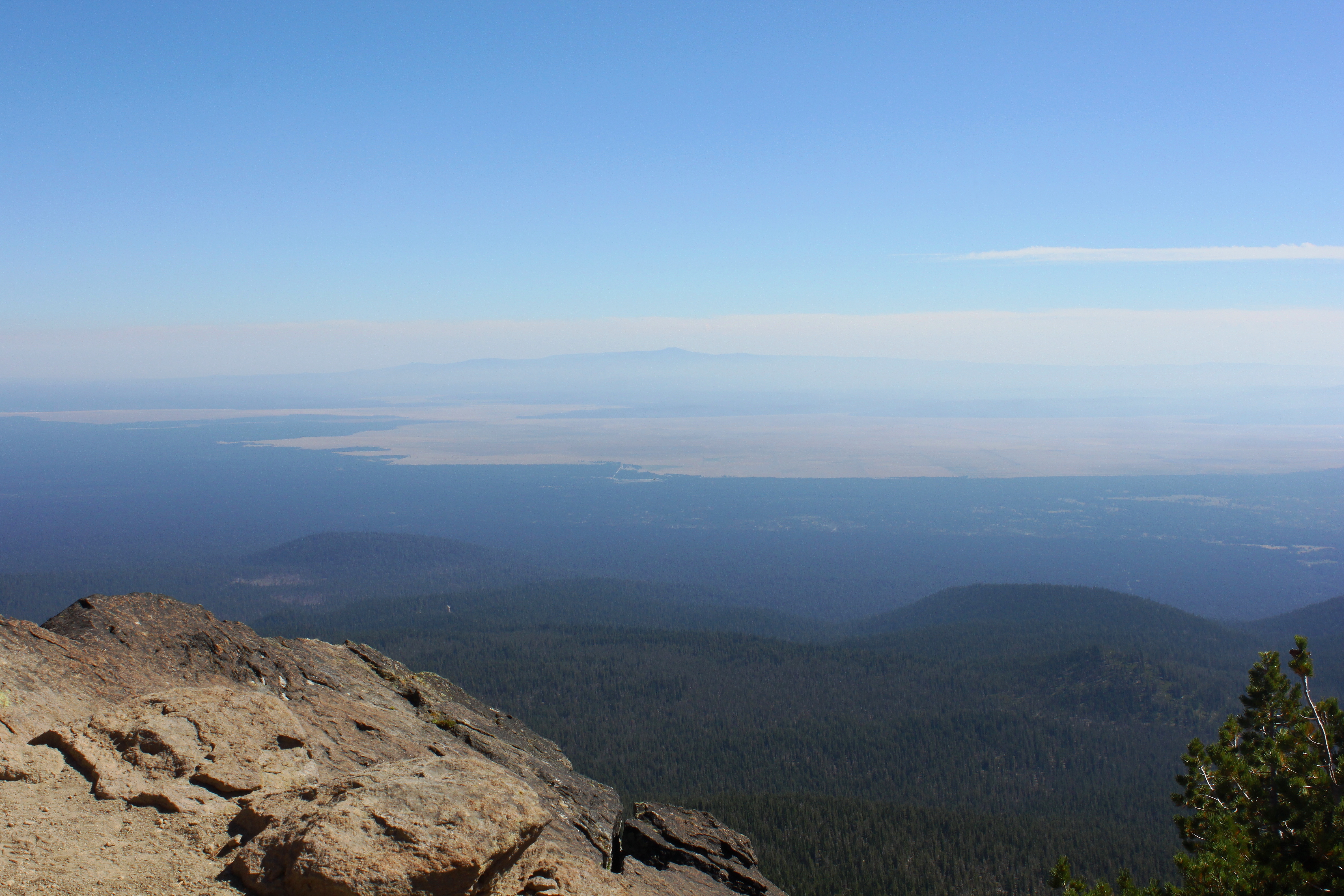
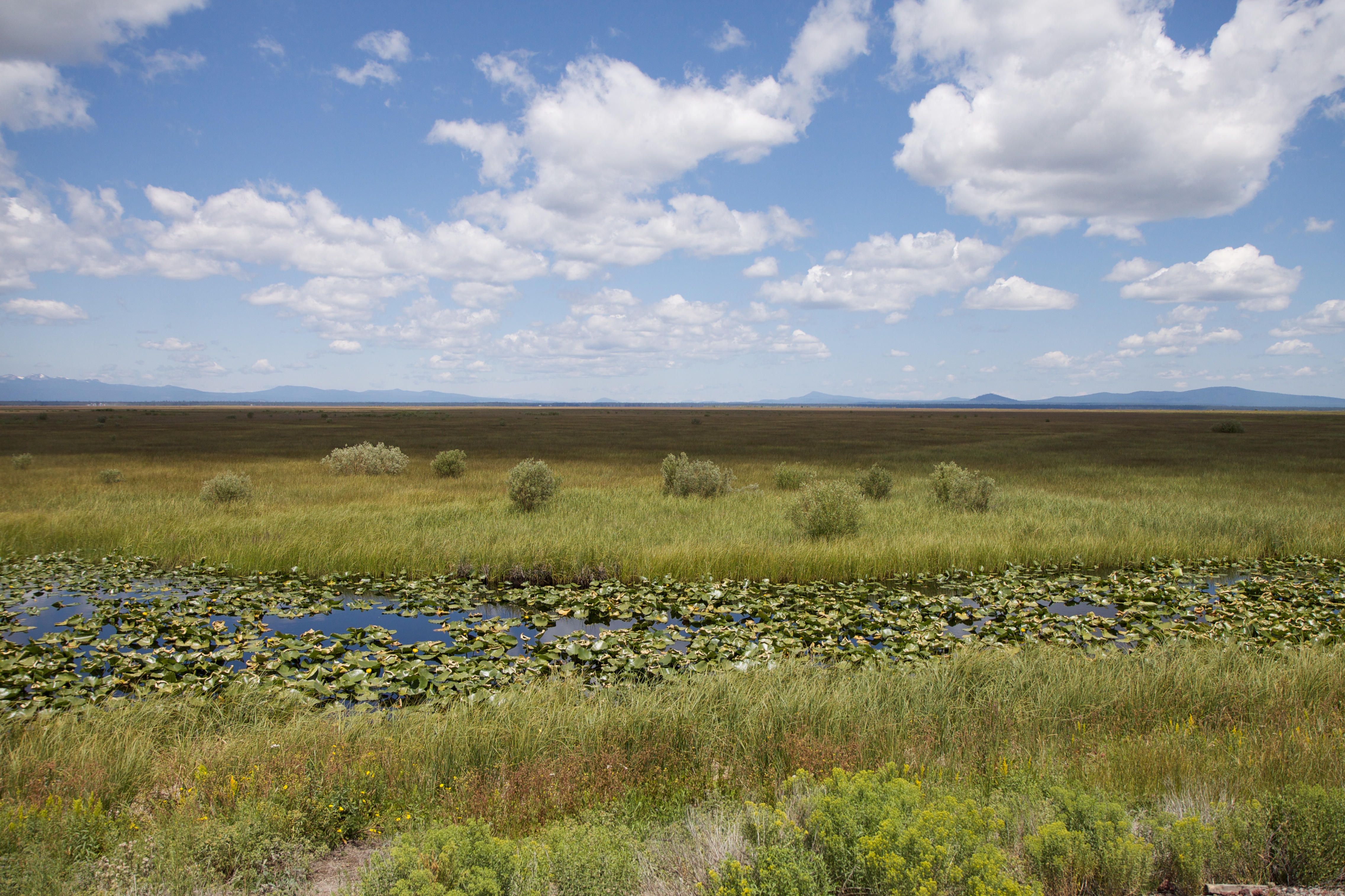
View to very large Klamath Marsh
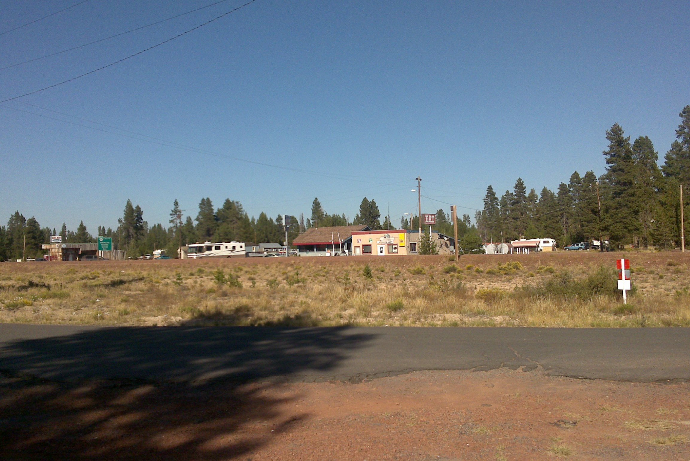
This was, I think, officially a town
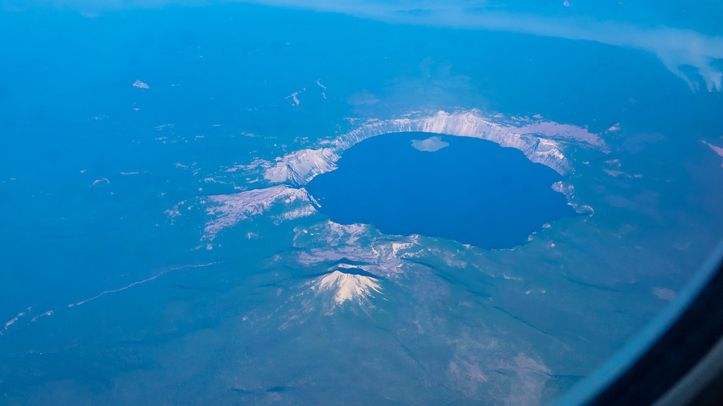
Crater Lake
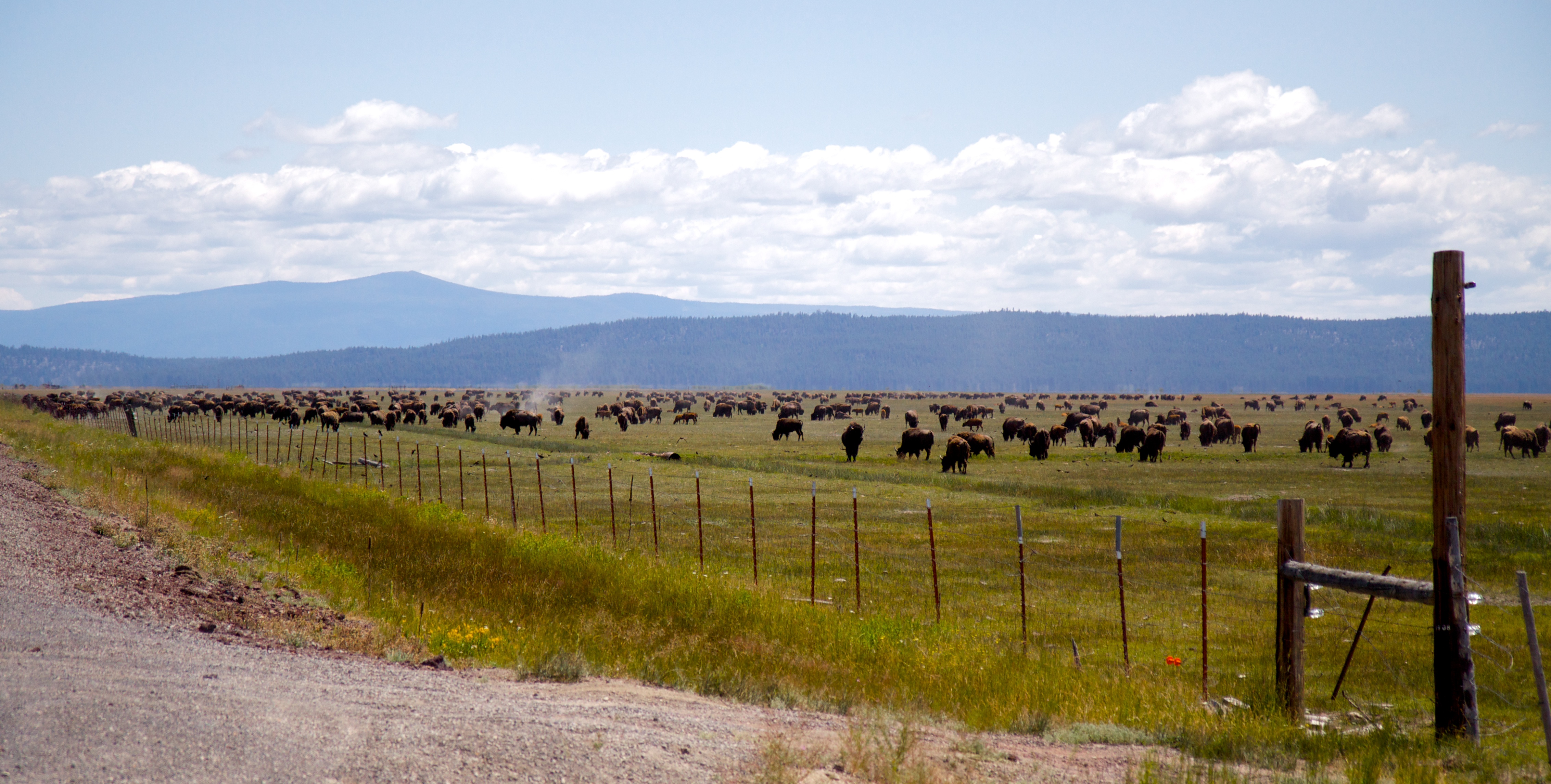
Jackalope running right
2009_07_13-12_38_14-IMG_0891

Sunset somewhere north of Klamath Falls, OR
2009_07_13-11_59_52-IMG_0888
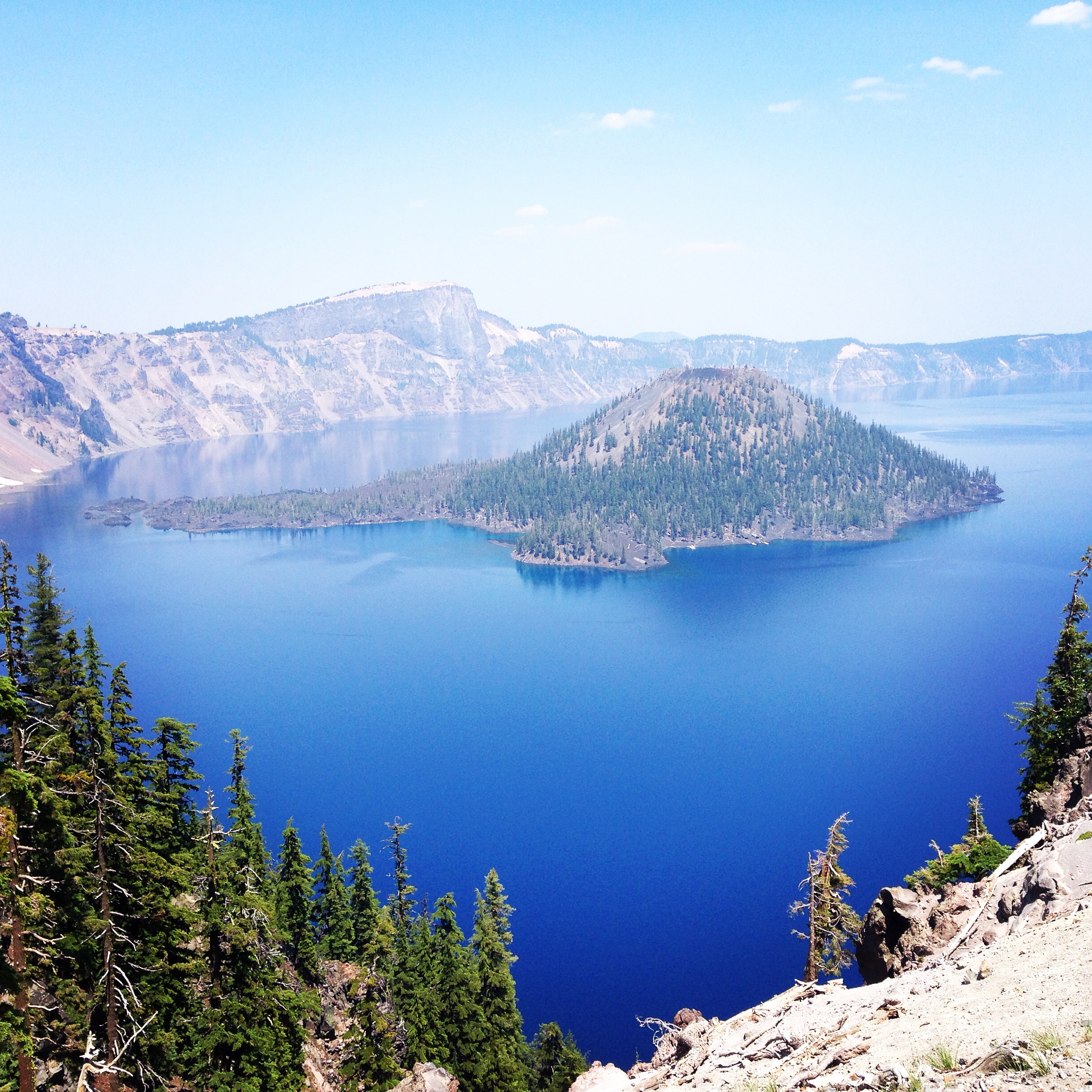
Crater Lake

2009_07_13-12_38_18-IMG_0892
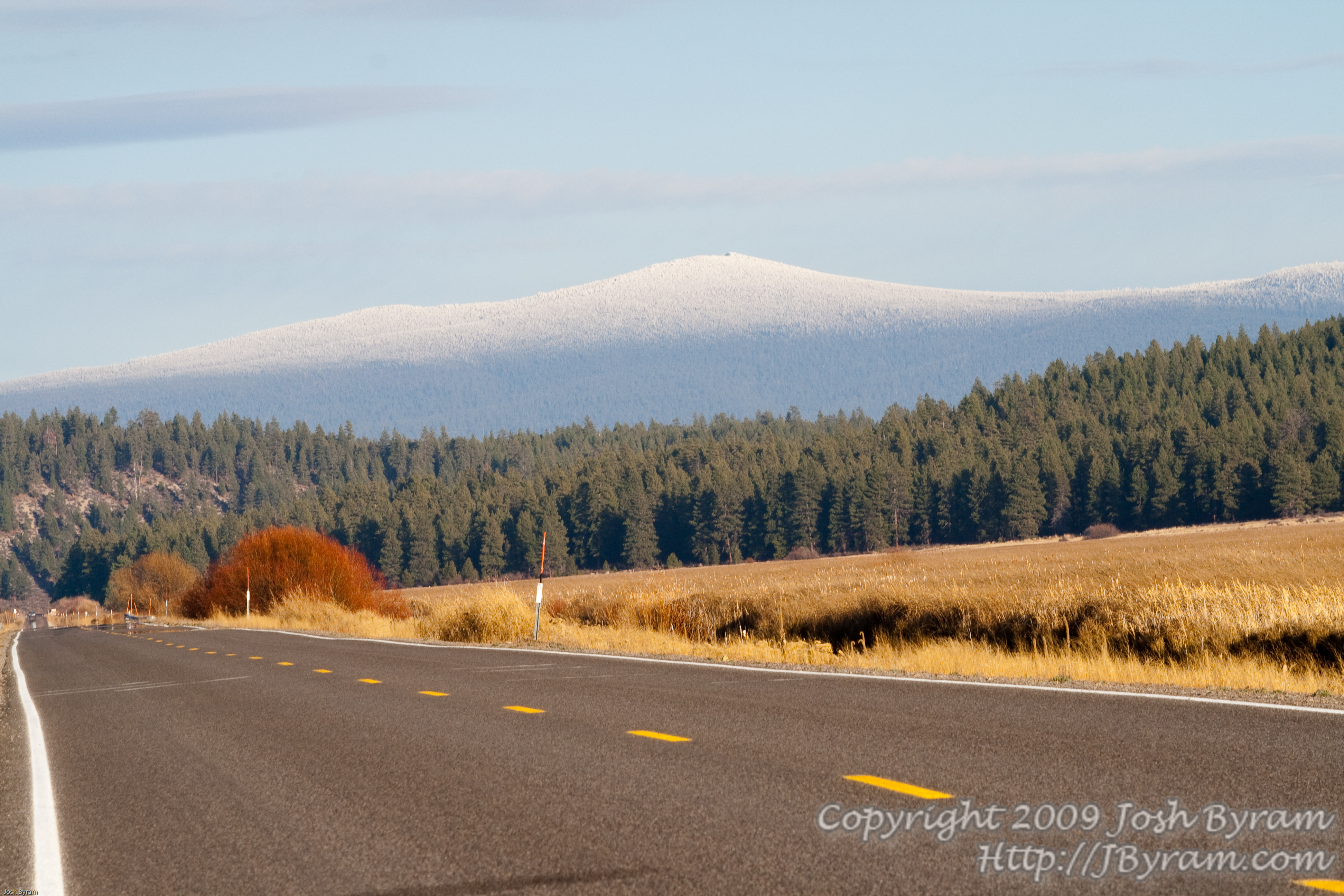
20091108IMG_0258Frosted peaks
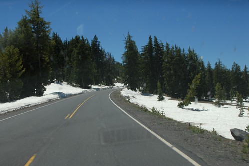
Road to Crater Lake 2
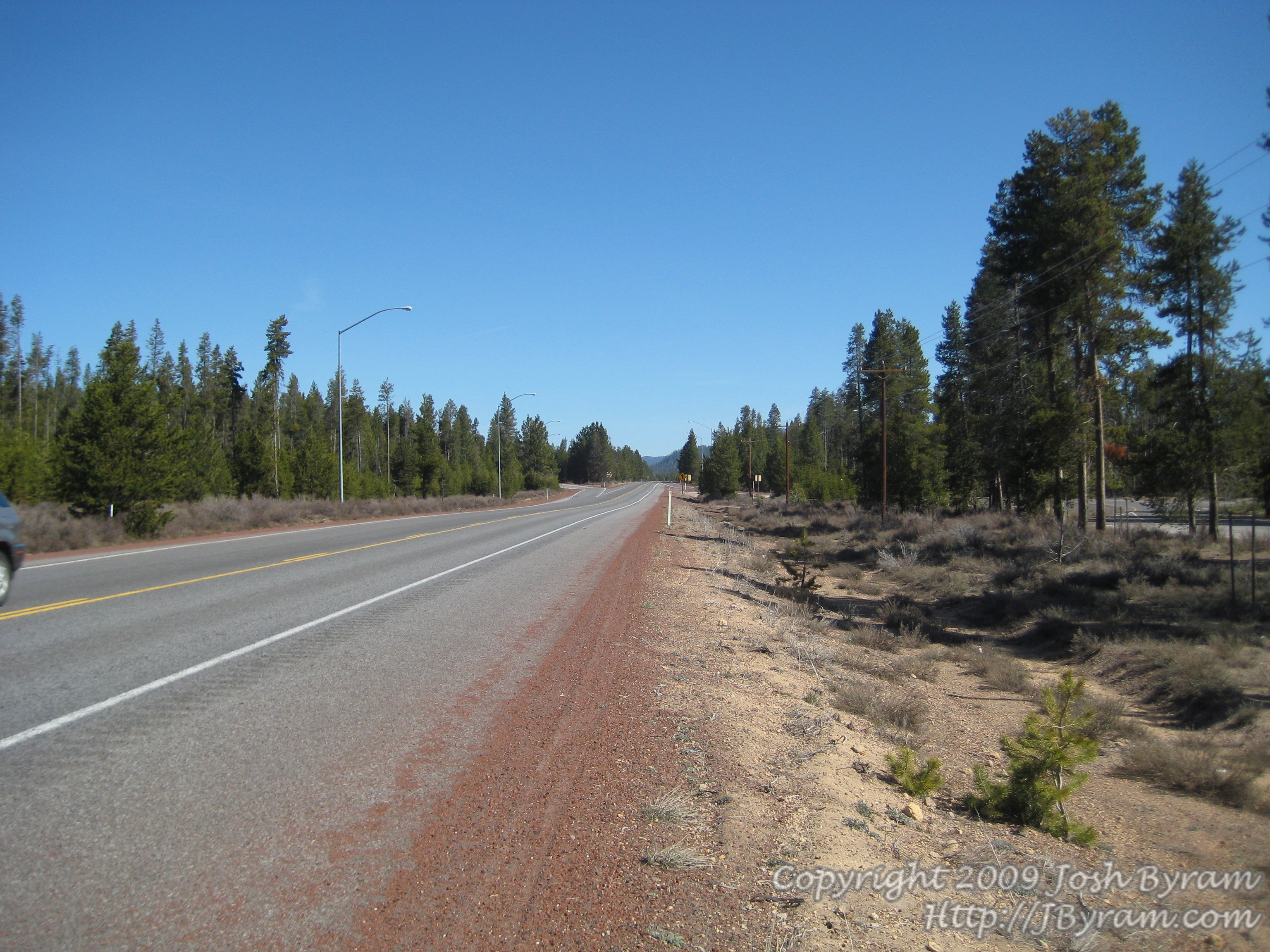
20090419-Driving
Road to Crater Lake

20090419-Driving 2
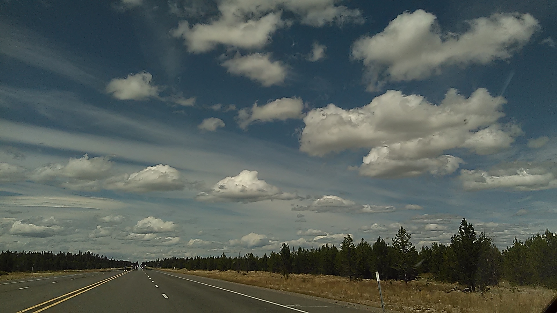
Beautiful skies, near Bly OR

Beautiful skies, near Bly OR
Hwy 58, waiting for construction for the pilot car to get us thru the tunnel
Hwy 58, waiting for construction for the pilot car to get us thru the tunnel
Flattop Mountain
Topographic Map of Winema National Forest, Oregon, USA
Find elevation by address:

Places near Winema National Forest, Oregon, USA:
The Dalles-california Highway
Mount Scott
US-97, Chemult, OR, USA
Chemult
Crater Lake
Klamath County
Klamath Falls
Crater Lake Lodge
Mount Thielsen
42260 Brook Trout Ln
Wizard Island
1084 Eastern Brook Ln
The Watchman
Crater Lake National Park
Chiloquin
38070 Aspenwood Ct
38038 Modoc Point Rd
Mark Court
Diamond Lake
Diamond Lake
Recent Searches:
- Elevation of Corso Fratelli Cairoli, 35, Macerata MC, Italy
- Elevation of Tallevast Rd, Sarasota, FL, USA
- Elevation of 4th St E, Sonoma, CA, USA
- Elevation of Black Hollow Rd, Pennsdale, PA, USA
- Elevation of Oakland Ave, Williamsport, PA, USA
- Elevation of Pedrógão Grande, Portugal
- Elevation of Klee Dr, Martinsburg, WV, USA
- Elevation of Via Roma, Pieranica CR, Italy
- Elevation of Tavkvetili Mountain, Georgia
- Elevation of Hartfords Bluff Cir, Mt Pleasant, SC, USA