Elevation of Chemult, OR, USA
Location: United States > Oregon > Klamath County >
Longitude: -121.7831612
Latitude: 43.2165182
Elevation: 1450m / 4757feet
Barometric Pressure: 0KPa
Related Photos:
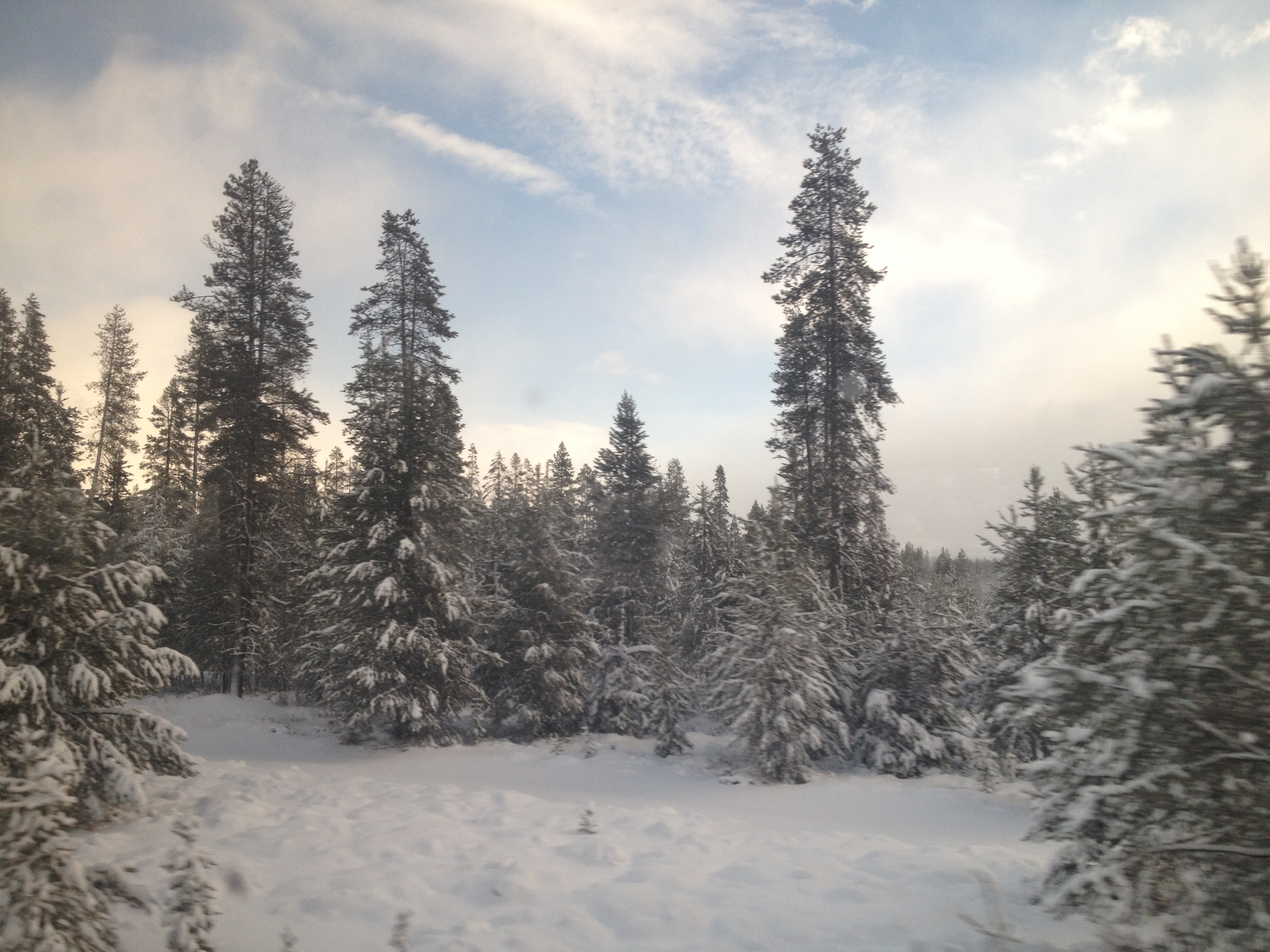
View from the Train
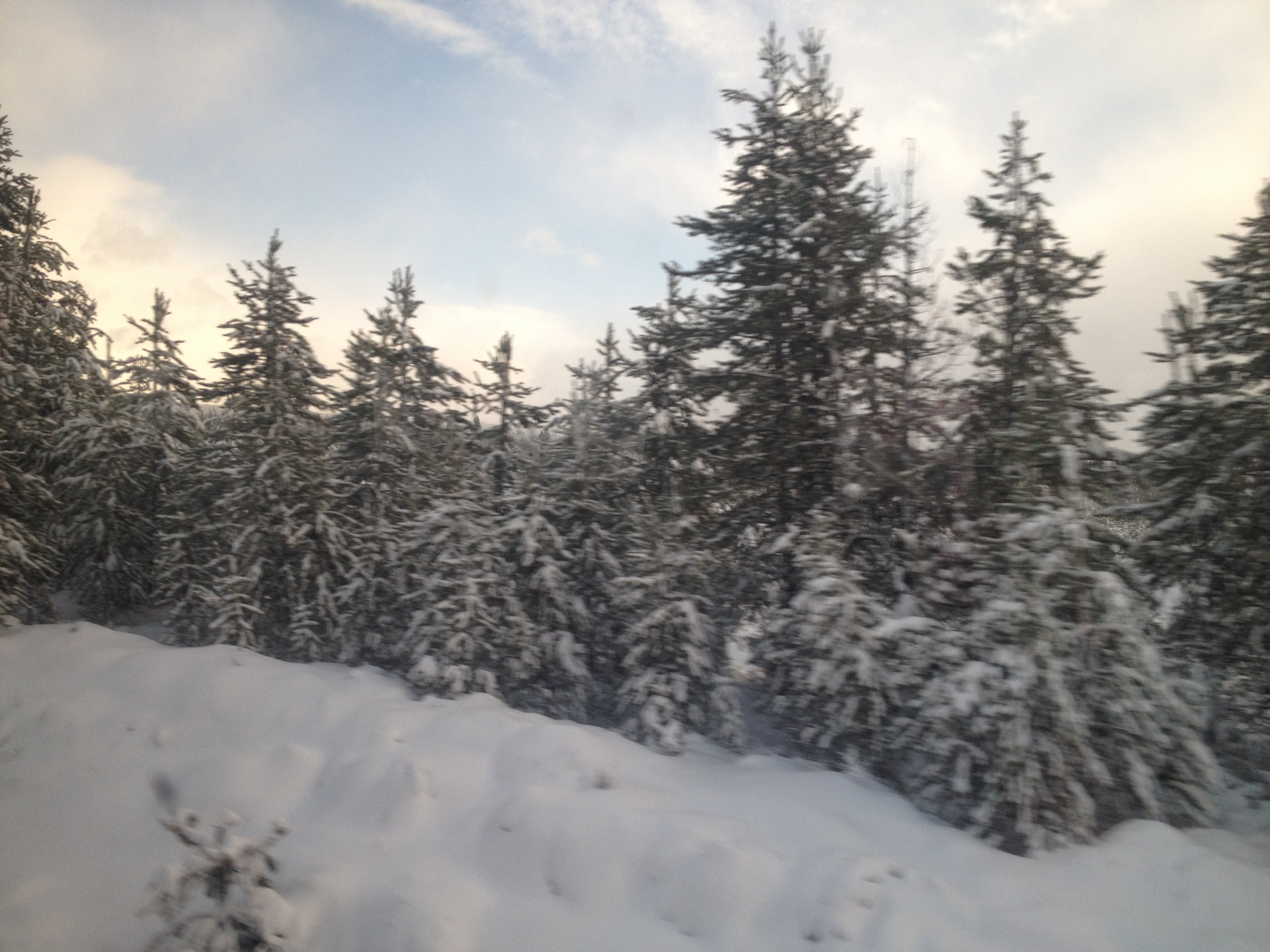
View from the Train
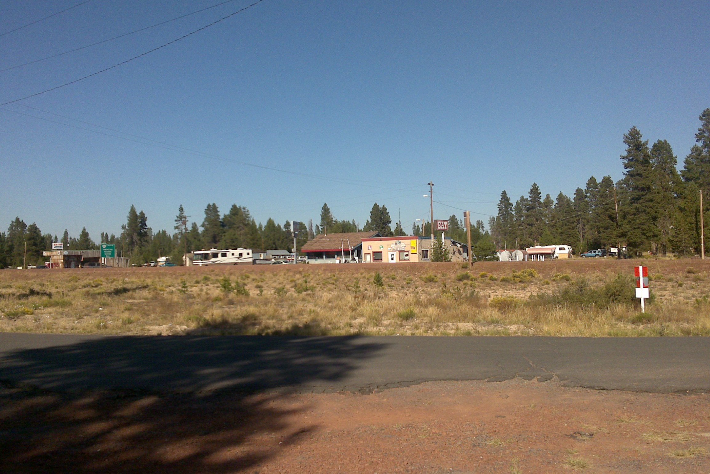
This was, I think, officially a town
20180902[132709]
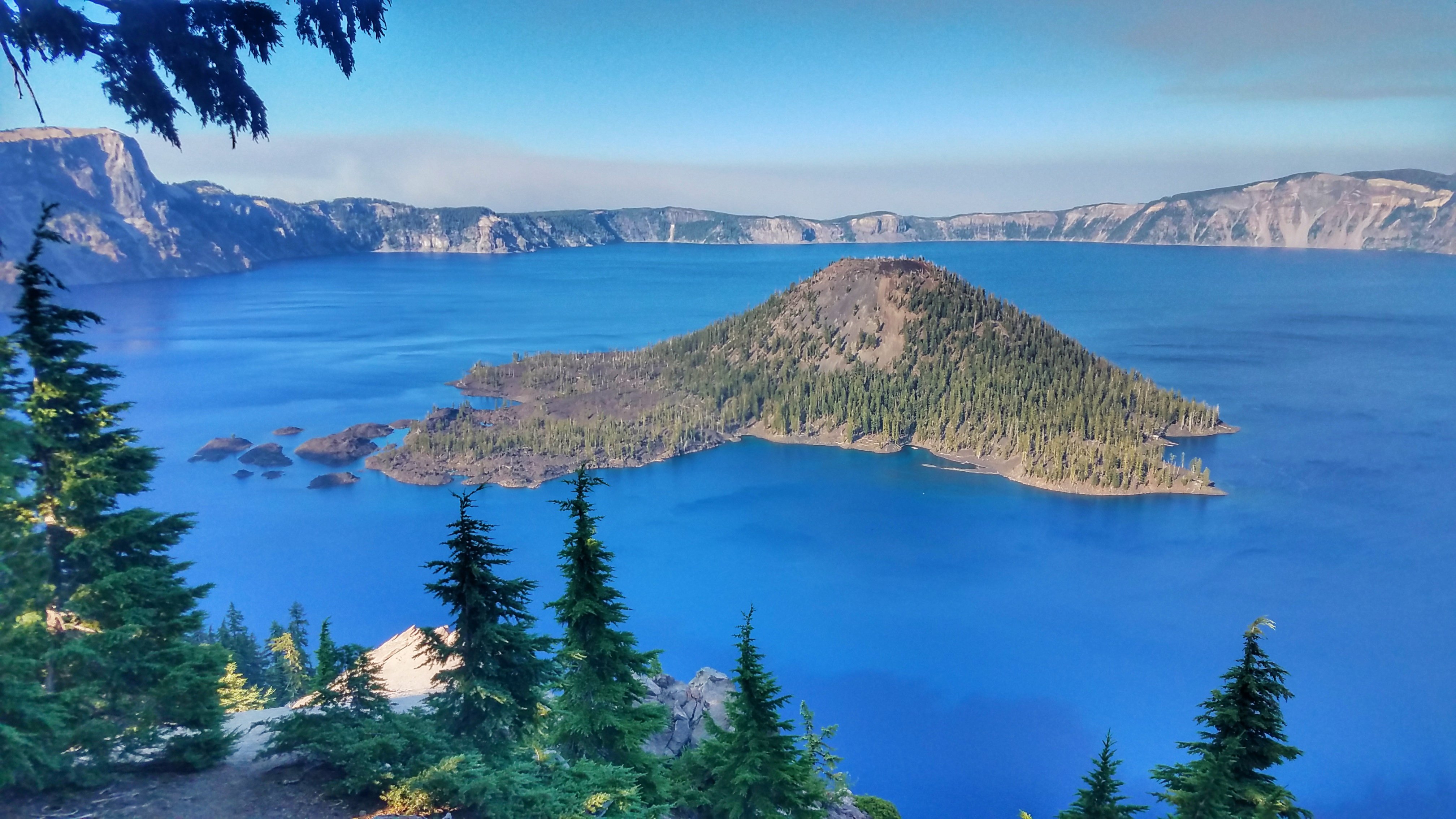
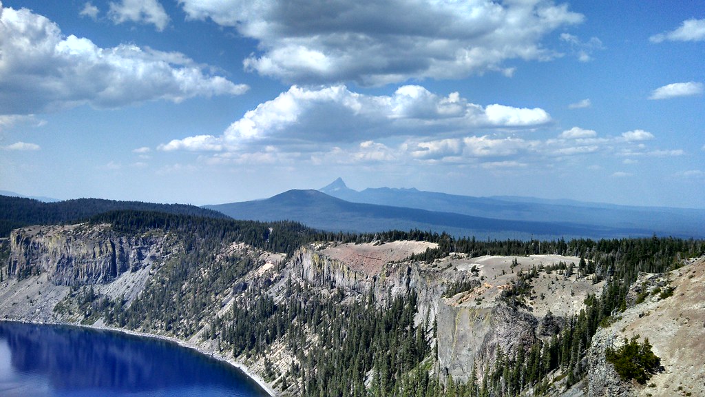
Hiking the Rim of the Caldera
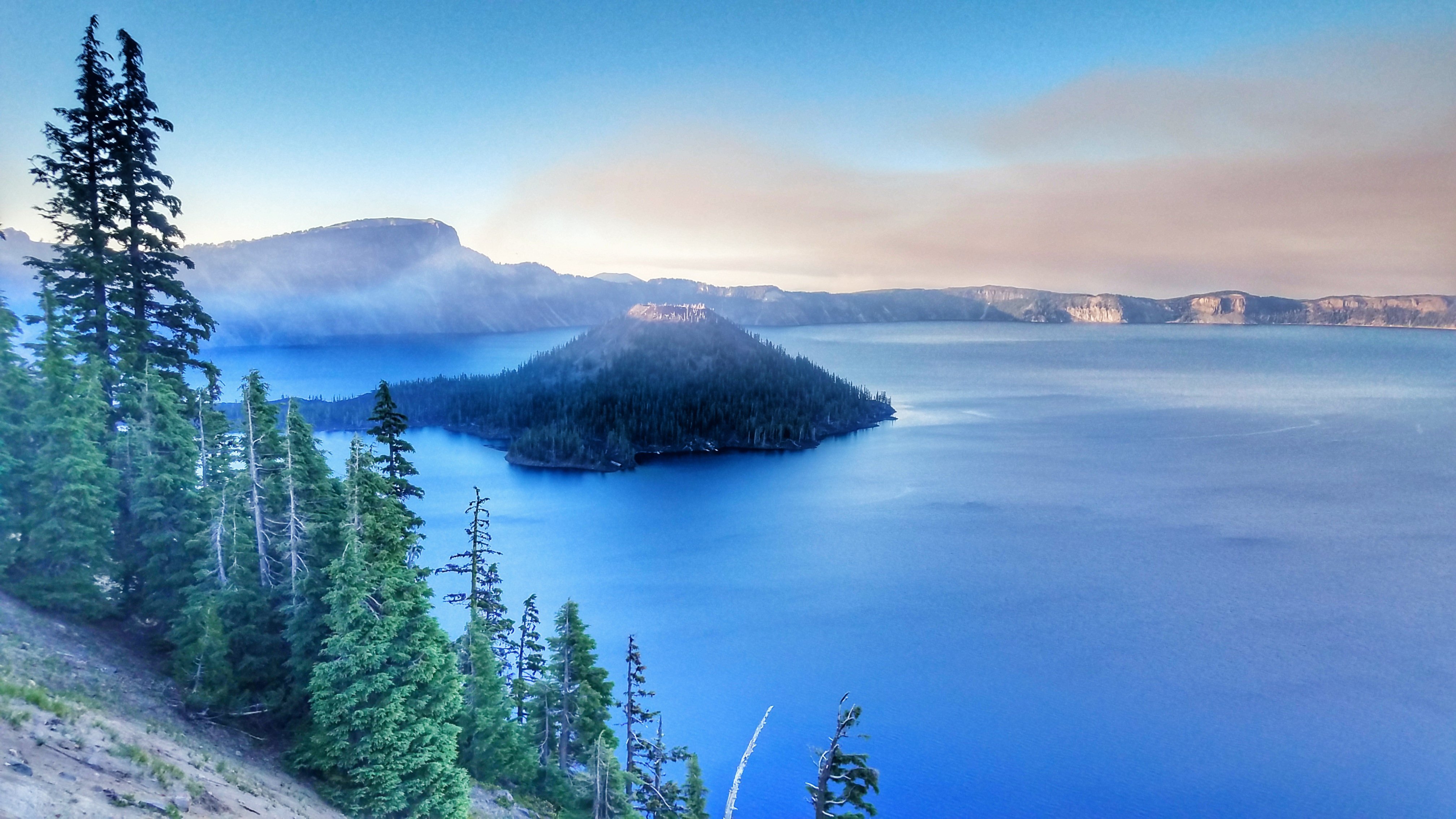
Smoke at Crater Lake
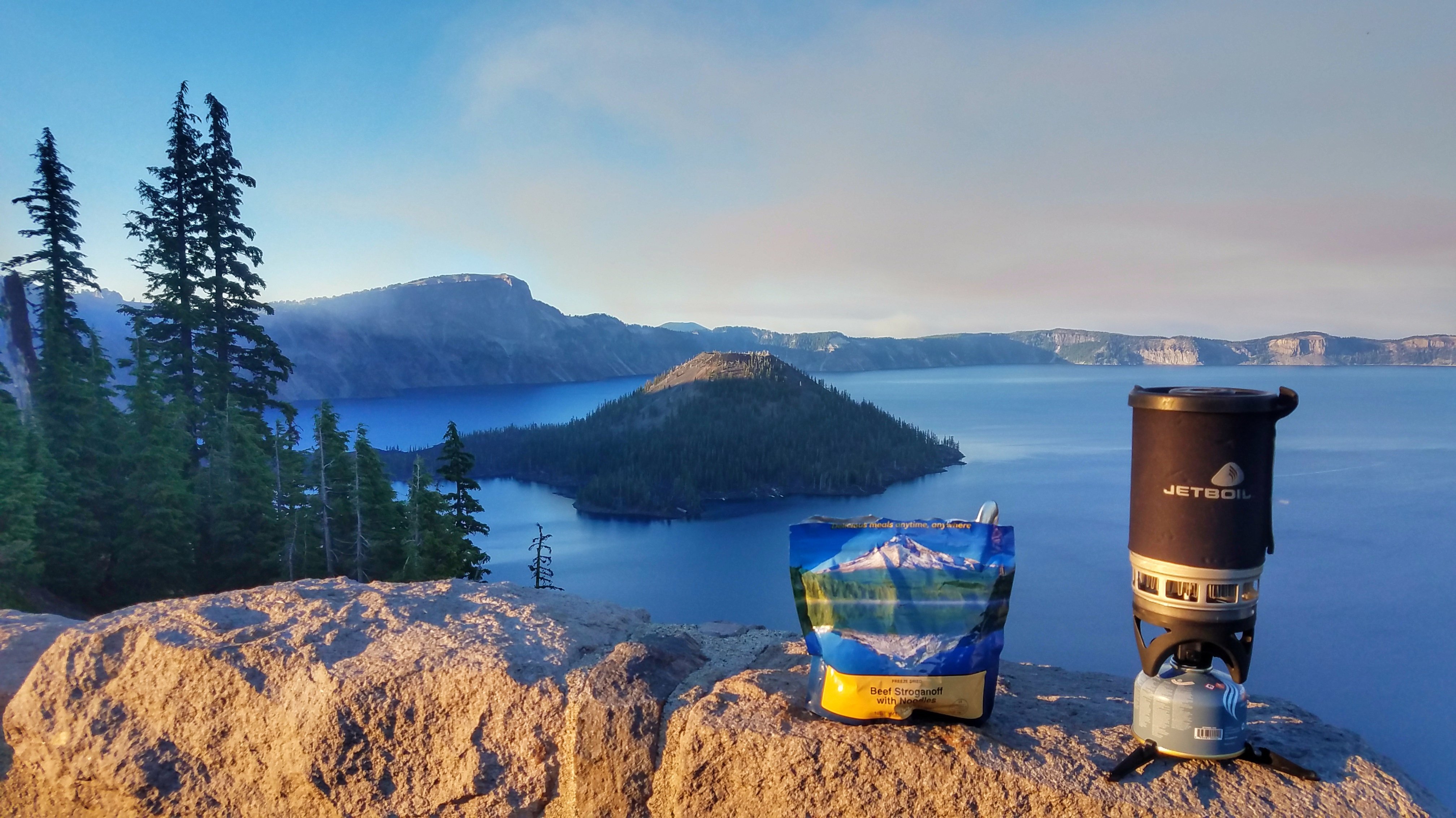
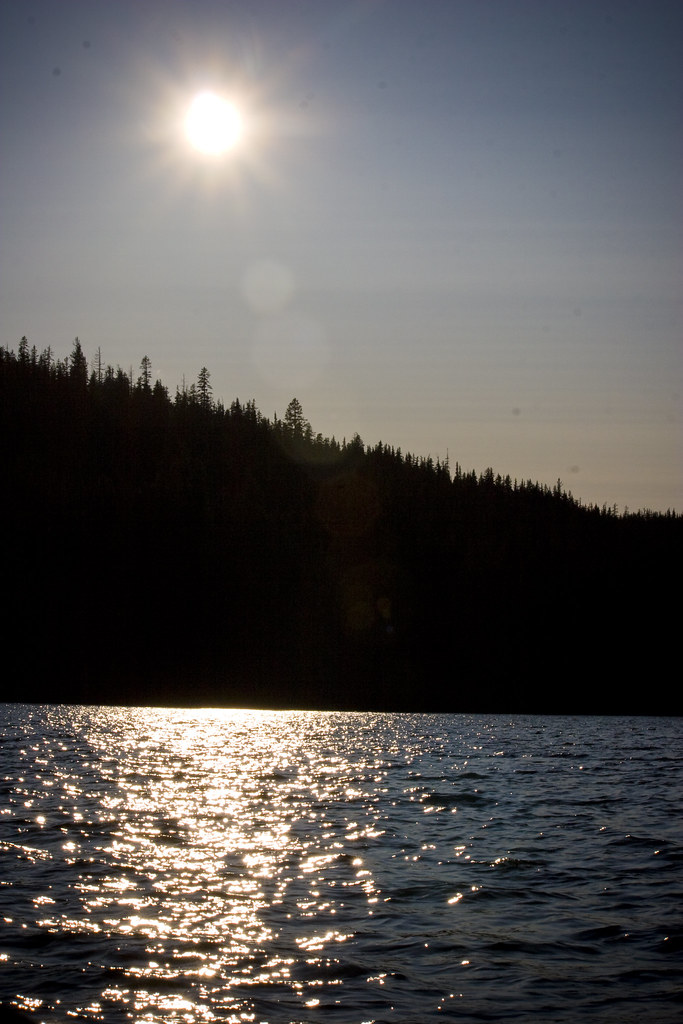
Dinner at the Lake
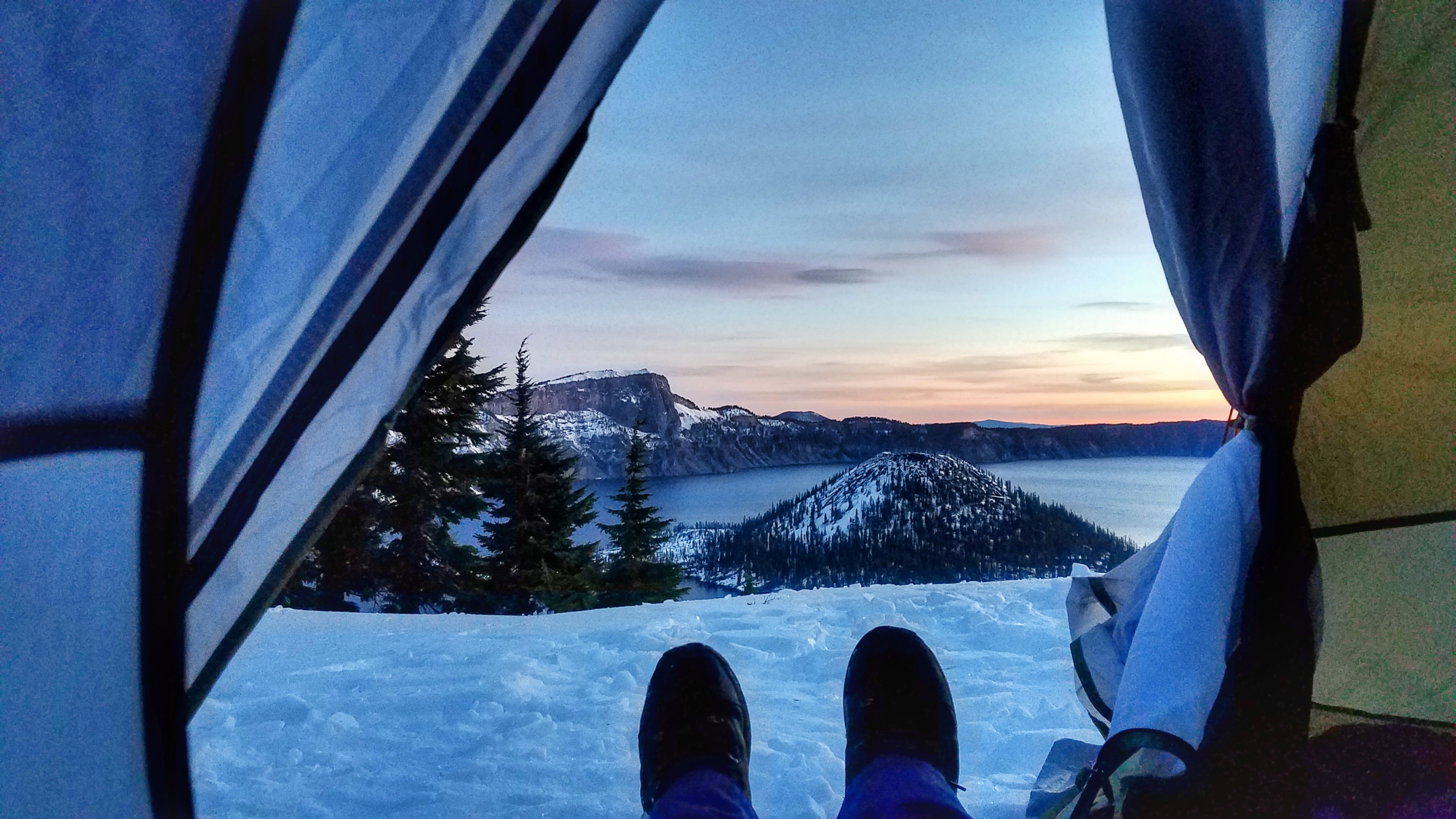
Snow Camping at Crater Lake
DSC_0594.JPG

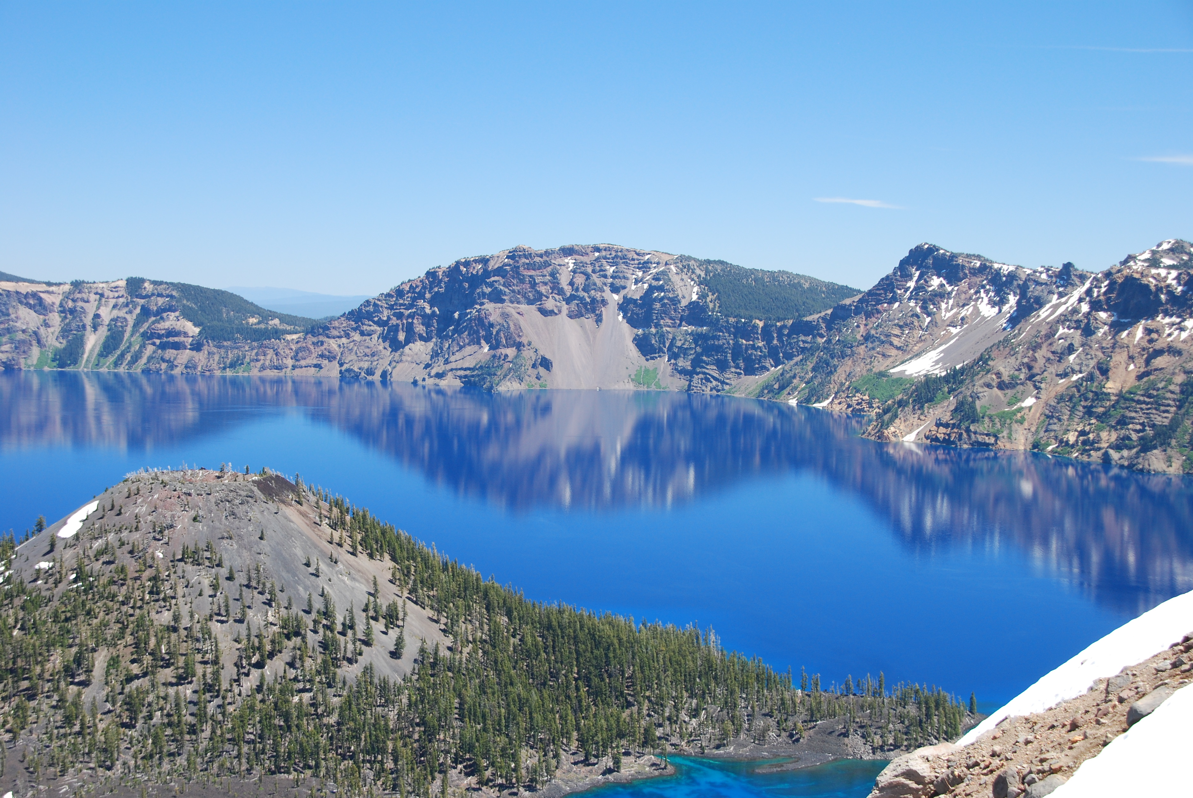
Crater Lake National Park
DSC_0593.JPG
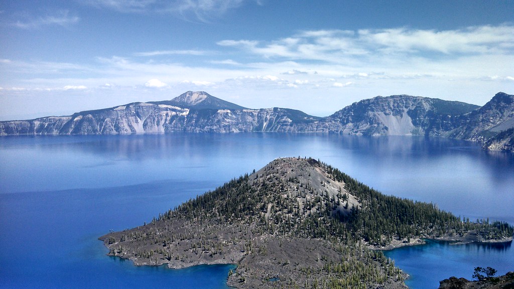
Crater Lake National Park

photo.jpg

Crater Lake National Park

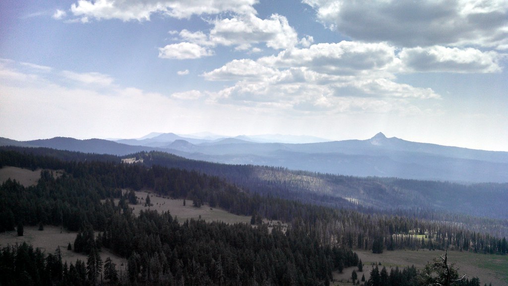
Snow in the Cascades

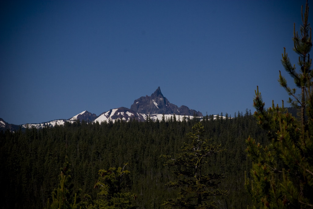
Crater Lake National Park
Crater Lake National Park
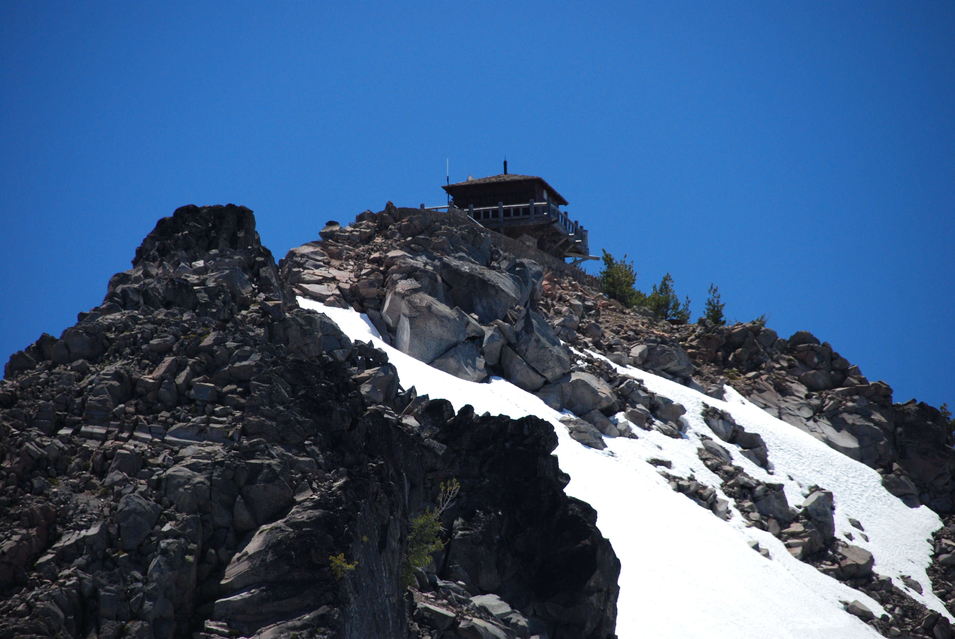
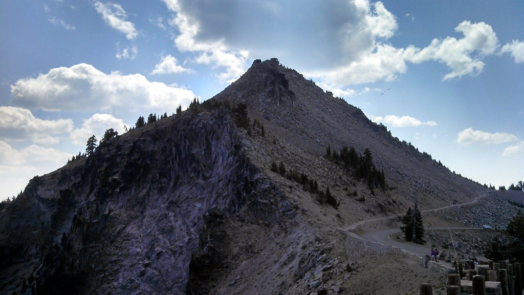
MILLER MOUNTAIN
Crater Lake National Park
Miller 09 - On the Lake 2
Crater Lake National Park

Crater Lake National Park
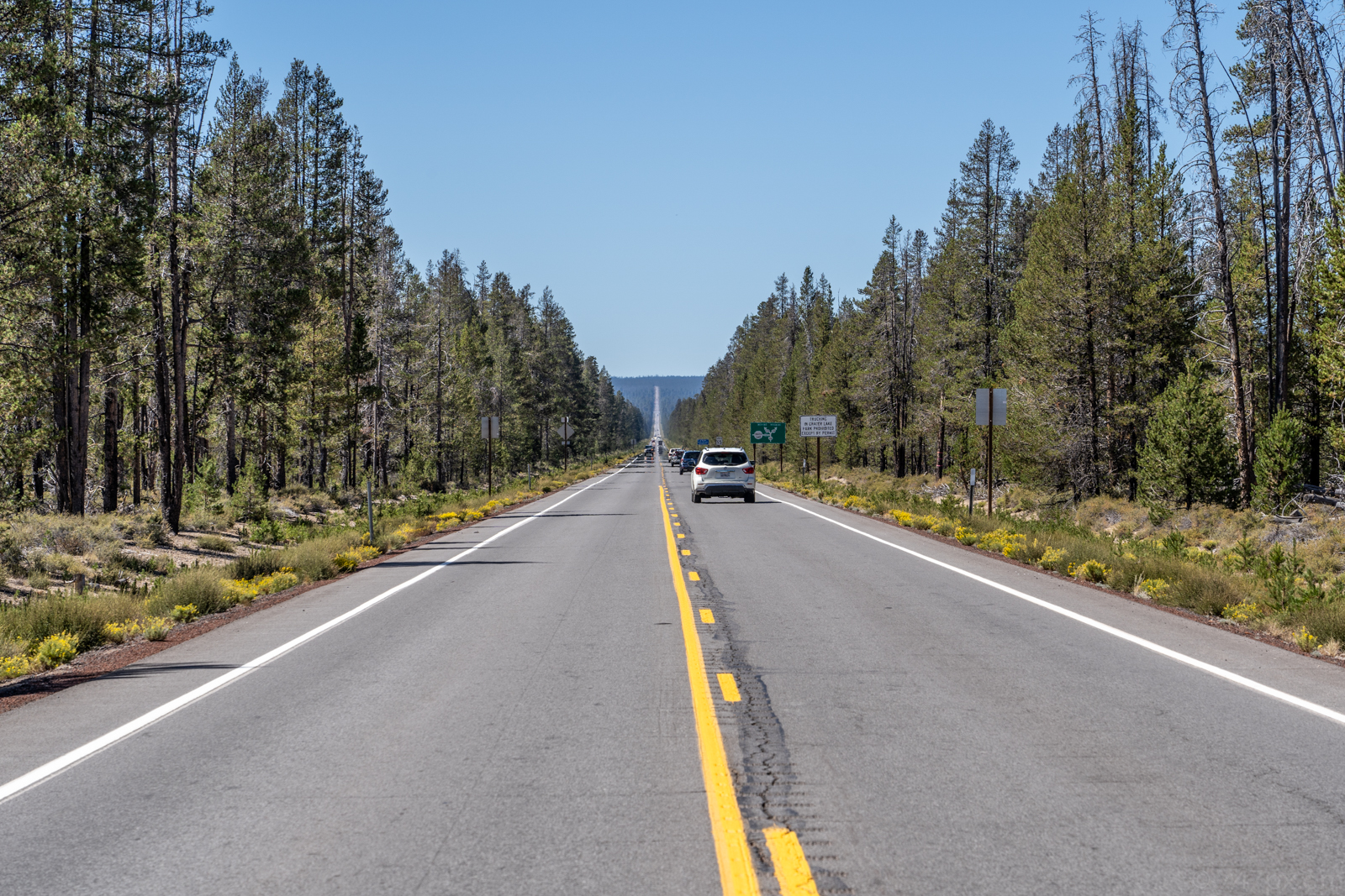
Road to Crater Lake
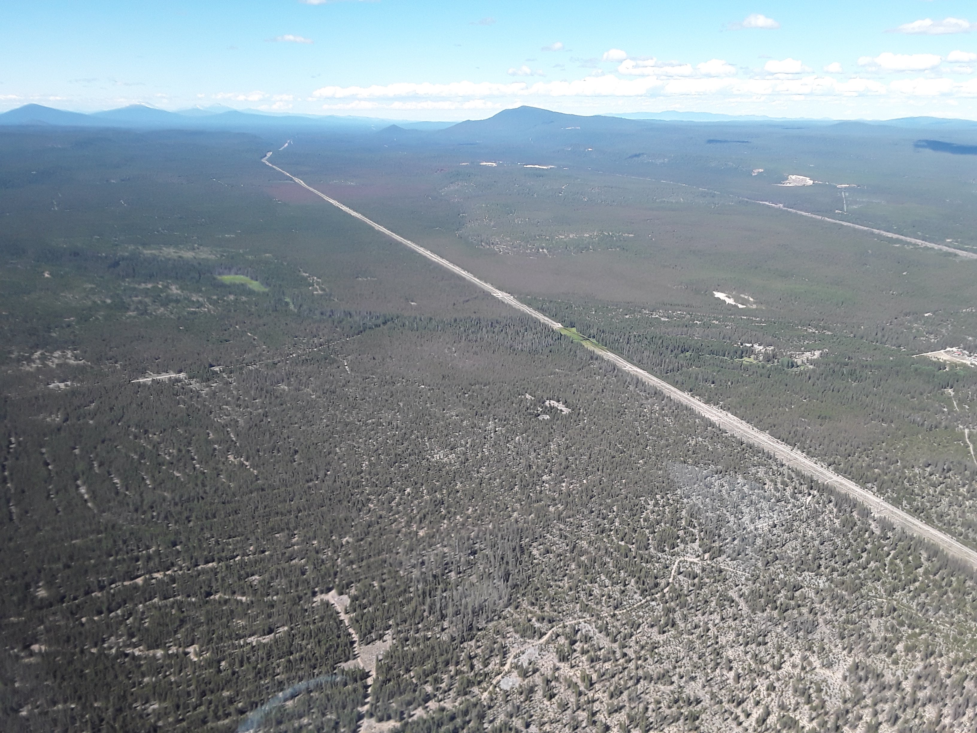
2018. Pandora moth defoliation and Highway 97. Special aerial detection survey in Oregon.
Topographic Map of Chemult, OR, USA
Find elevation by address:

Places in Chemult, OR, USA:
Places near Chemult, OR, USA:
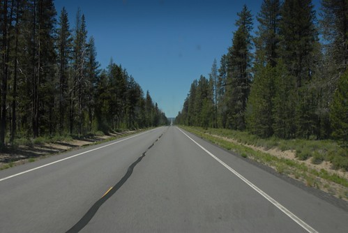
US-97, Chemult, OR, USA
The Dalles-california Highway
Crescent Lake
135878 Us-97
Crescent
Odell Butte
Gilchrist
Winema National Forest
Mount Thielsen
Hamner Butte
Diamond Lake
Diamond Lake
Mount Scott
Odell Lake
1481 Linda Dr
1406 Cir Bar Dr
Crater Lake
8969 Split Rail Rd
Mount Bailey
Clearwater Falls
Recent Searches:
- Elevation map of Greenland, Greenland
- Elevation of Sullivan Hill, New York, New York, 10002, USA
- Elevation of Morehead Road, Withrow Downs, Charlotte, Mecklenburg County, North Carolina, 28262, USA
- Elevation of 2800, Morehead Road, Withrow Downs, Charlotte, Mecklenburg County, North Carolina, 28262, USA
- Elevation of Yangbi Yi Autonomous County, Yunnan, China
- Elevation of Pingpo, Yangbi Yi Autonomous County, Yunnan, China
- Elevation of Mount Malong, Pingpo, Yangbi Yi Autonomous County, Yunnan, China
- Elevation map of Yongping County, Yunnan, China
- Elevation of North 8th Street, Palatka, Putnam County, Florida, 32177, USA
- Elevation of 107, Big Apple Road, East Palatka, Putnam County, Florida, 32131, USA
- Elevation of Jiezi, Chongzhou City, Sichuan, China
- Elevation of Chongzhou City, Sichuan, China
- Elevation of Huaiyuan, Chongzhou City, Sichuan, China
- Elevation of Qingxia, Chengdu, Sichuan, China
- Elevation of Corso Fratelli Cairoli, 35, Macerata MC, Italy
- Elevation of Tallevast Rd, Sarasota, FL, USA
- Elevation of 4th St E, Sonoma, CA, USA
- Elevation of Black Hollow Rd, Pennsdale, PA, USA
- Elevation of Oakland Ave, Williamsport, PA, USA
- Elevation of Pedrógão Grande, Portugal