Elevation of Mount Bailey, Mt Bailey, Oregon, USA
Location: United States > Oregon > Idleyld Park >
Longitude: -122.22058
Latitude: 43.1551252
Elevation: 2535m / 8317feet
Barometric Pressure: 74KPa
Elevation Map:
Satellite Map:
Related Photos:

Mossy Goodness at Clearwater Falls
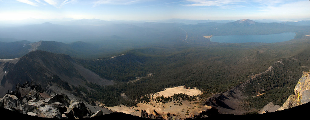
View to Peaks 6045 (center) and 6170 (far)

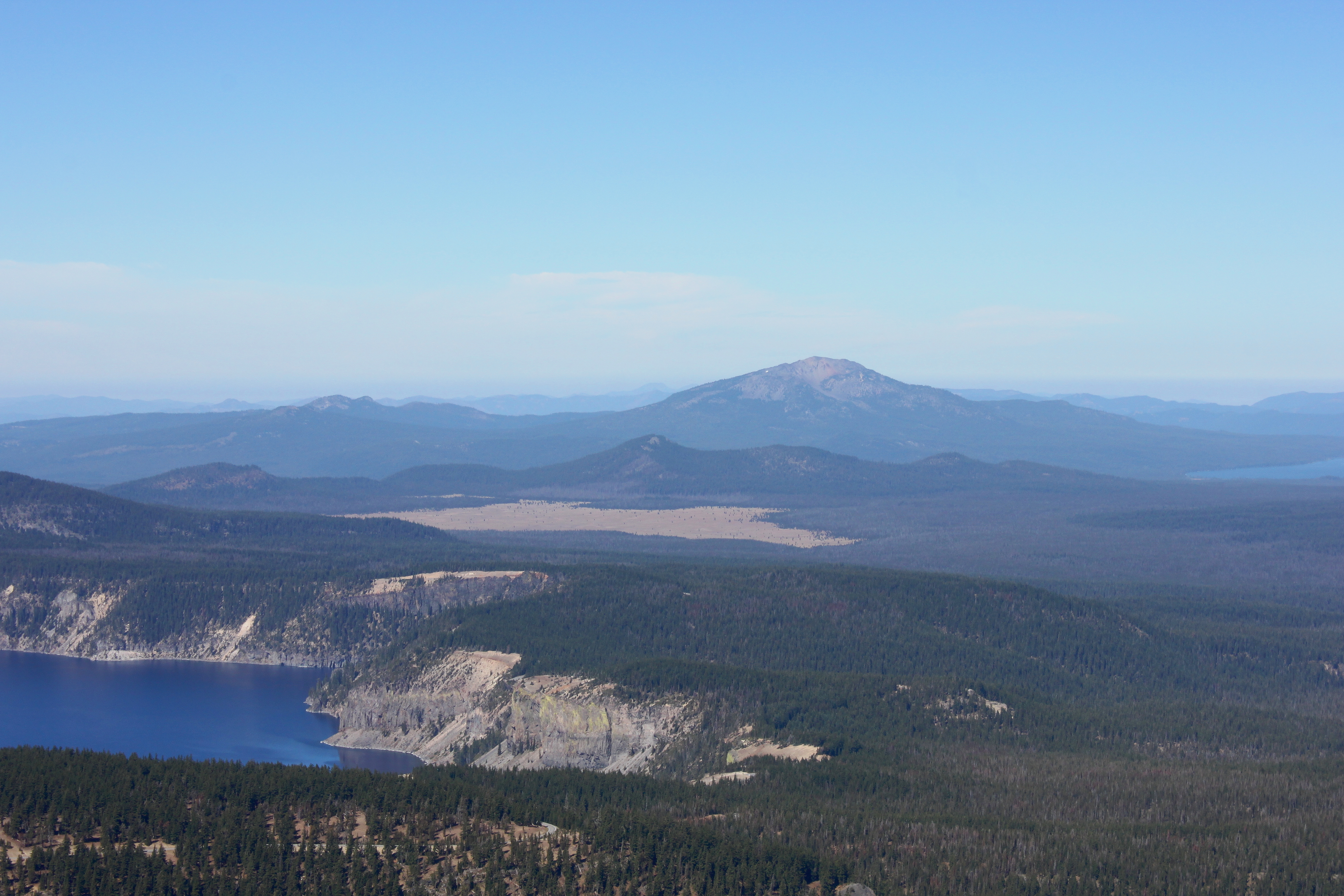
Mt. Thielson over Diamond Lake
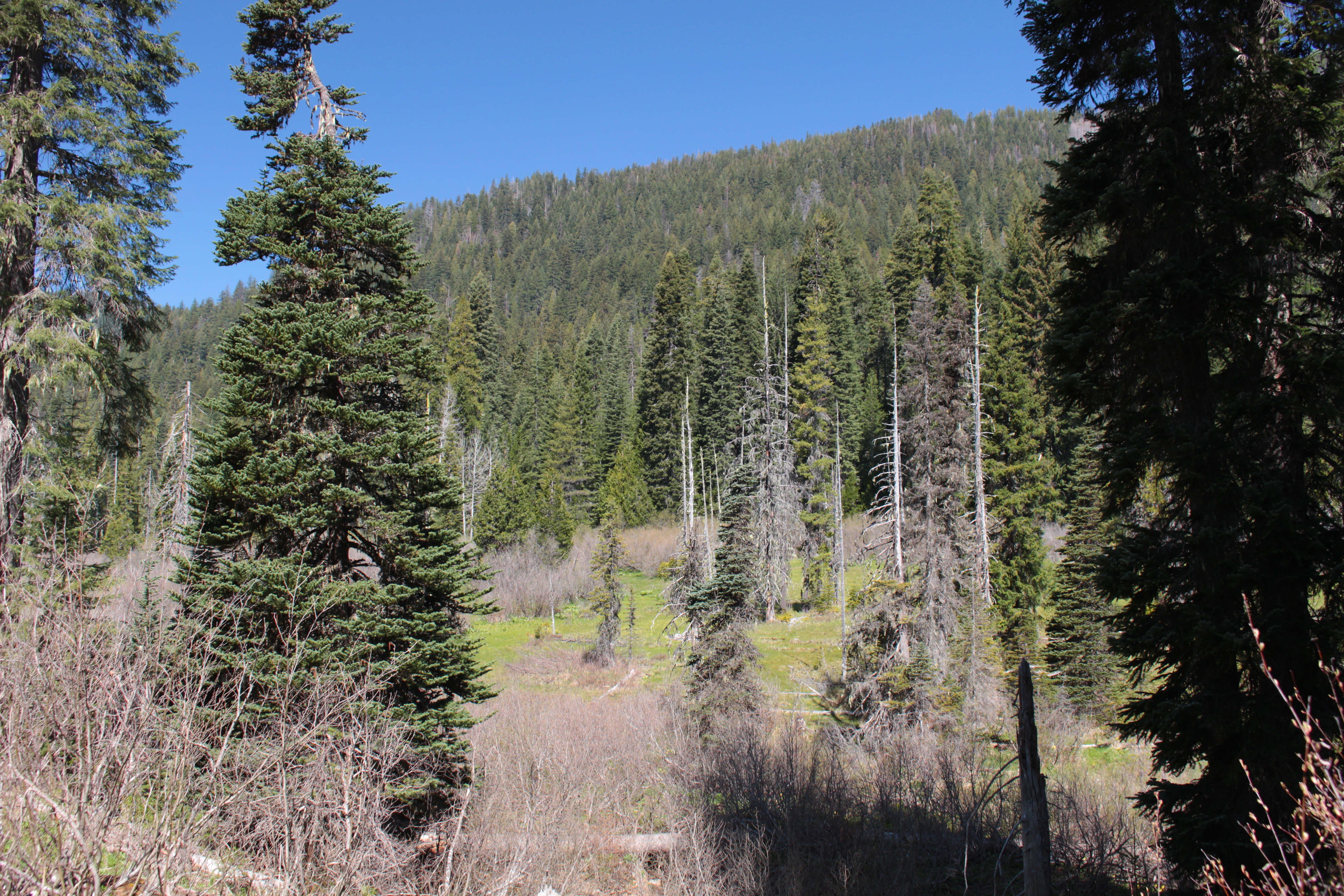
View to the flanks of Buckneck Mountain
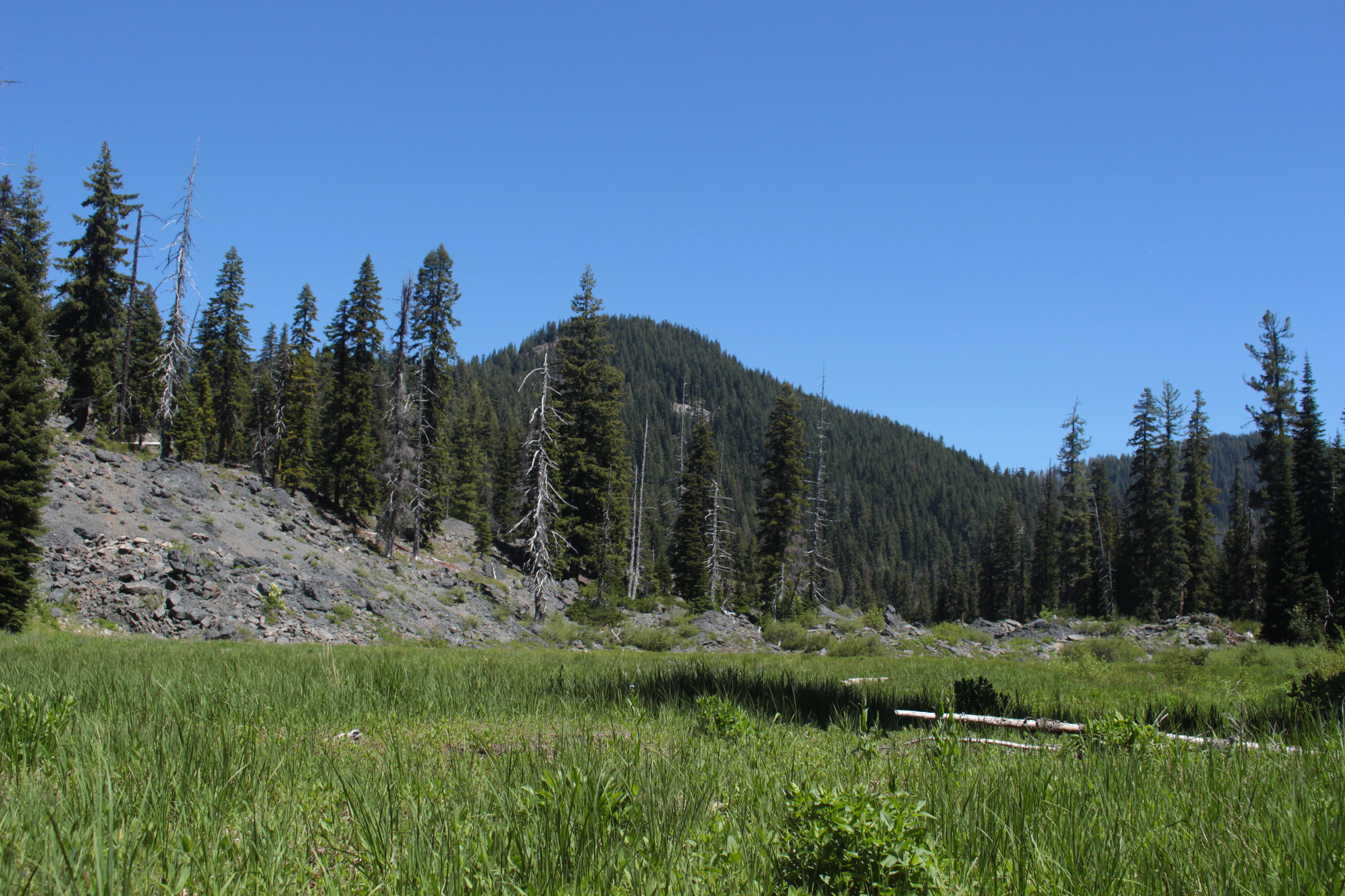
View to Peak 6045
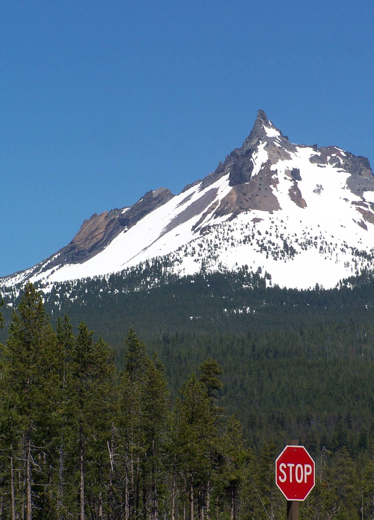
Stop... and smell the mountain air
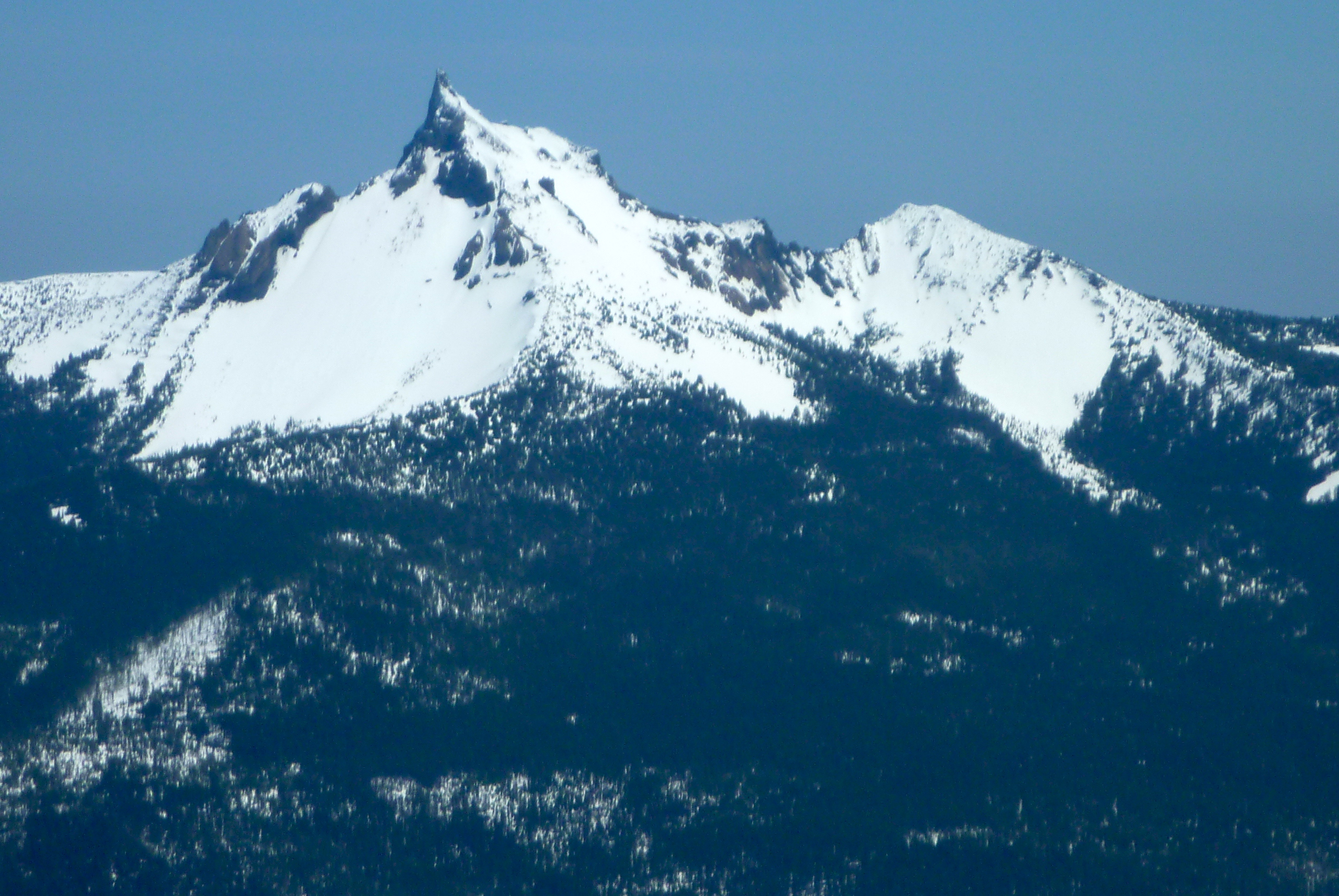
View from Mt. Thielsen summit
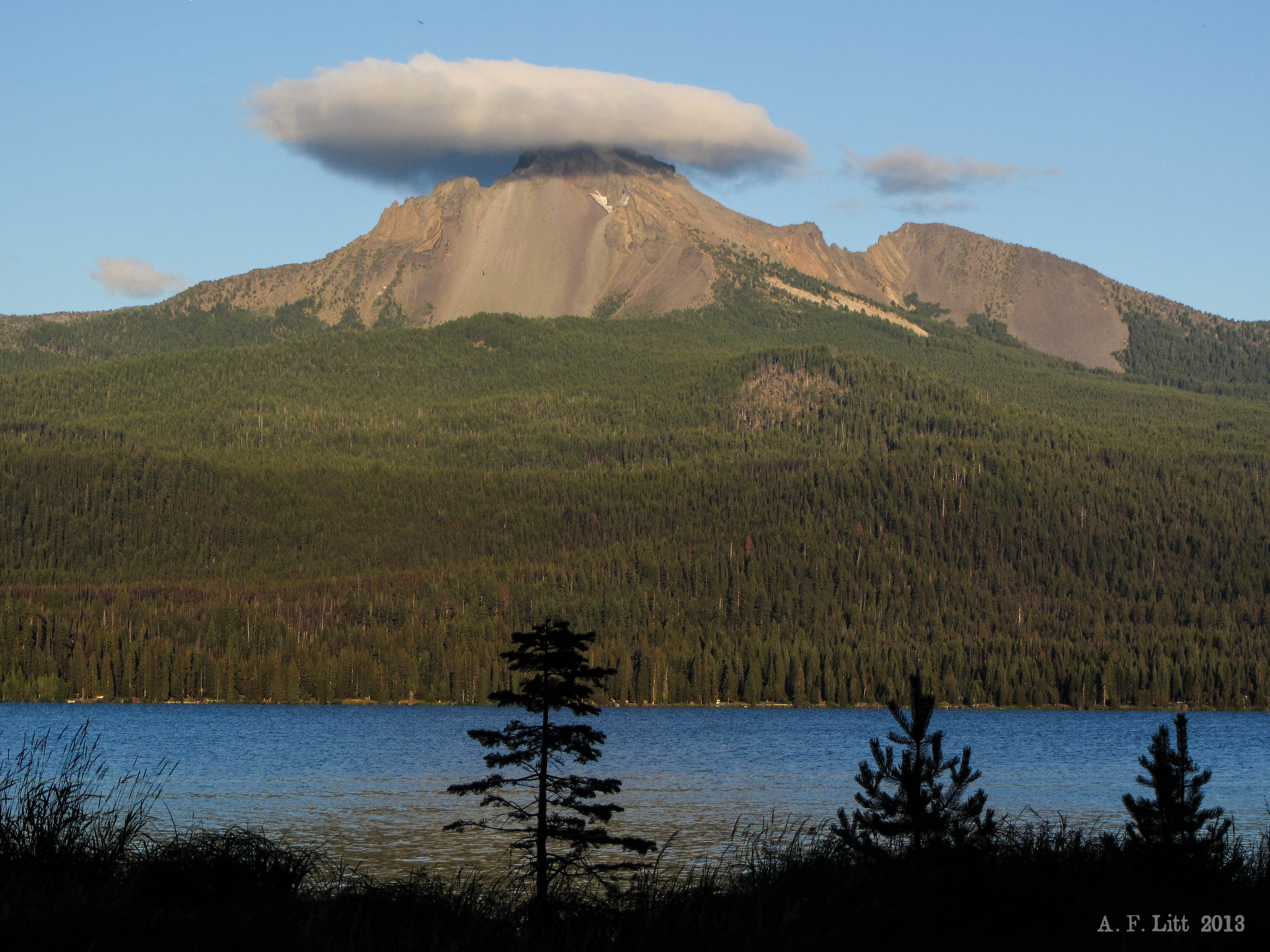
View to Mount Bailey

Umpqua National Forest, viewing the wilderness areas on top of the Cascade Mountains

Smokey Sunrise Above the Lake

Diamond Lake & Clouds
Thielsen Capped

Thielsen Under Clouds
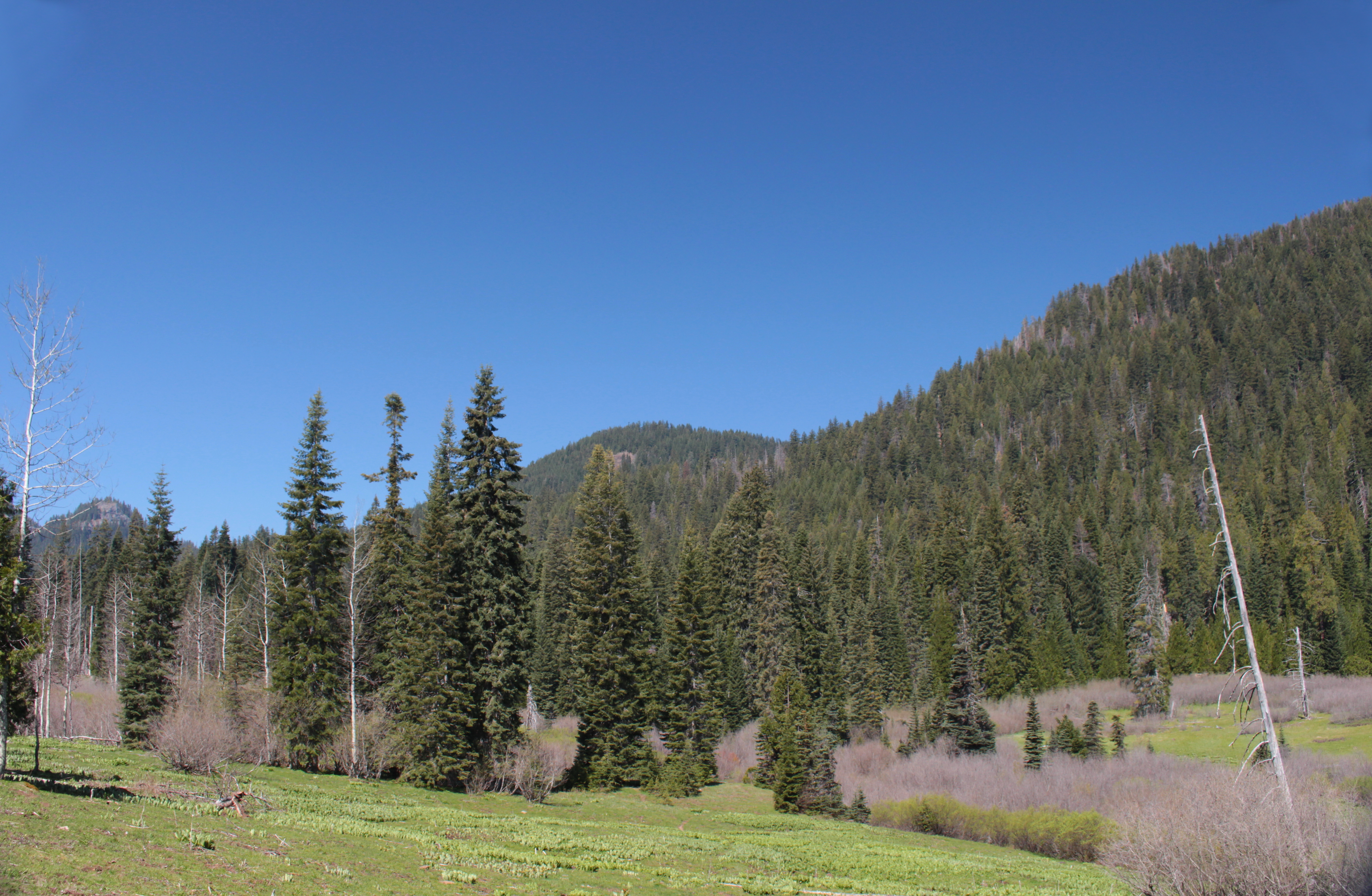
Mt. Bailey 5-16-09 18
Topographic Map of Mount Bailey, Mt Bailey, Oregon, USA
Find elevation by address:

Places near Mount Bailey, Mt Bailey, Oregon, USA:
Diamond Lake
Diamond Lake
Clearwater Falls
Whitehorse Falls
Mount Thielsen
Lemolo Falls
The Watchman
Wizard Island
Crater Lake
Crater Lake Lodge
Crater Lake National Park
Mount Scott
Union Peak
Crescent Lake
Diamond Peak
The Dalles-california Highway
Chemult
US-97, Chemult, OR, USA
Winema National Forest
Odell Lake
Recent Searches:
- Elevation of Corso Fratelli Cairoli, 35, Macerata MC, Italy
- Elevation of Tallevast Rd, Sarasota, FL, USA
- Elevation of 4th St E, Sonoma, CA, USA
- Elevation of Black Hollow Rd, Pennsdale, PA, USA
- Elevation of Oakland Ave, Williamsport, PA, USA
- Elevation of Pedrógão Grande, Portugal
- Elevation of Klee Dr, Martinsburg, WV, USA
- Elevation of Via Roma, Pieranica CR, Italy
- Elevation of Tavkvetili Mountain, Georgia
- Elevation of Hartfords Bluff Cir, Mt Pleasant, SC, USA