Elevation of Merrill, OR, USA
Location: United States > Oregon > Klamath County >
Longitude: -121.60055
Latitude: 42.0251516
Elevation: 1241m / 4072feet
Barometric Pressure: 87KPa
Elevation Map:
Satellite Map:
Related Photos:
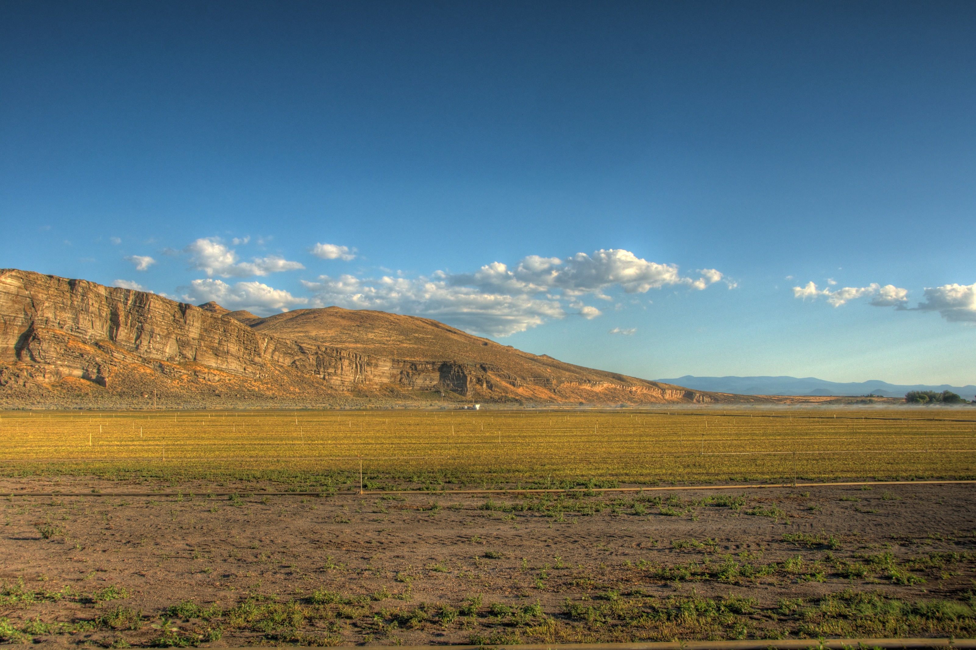
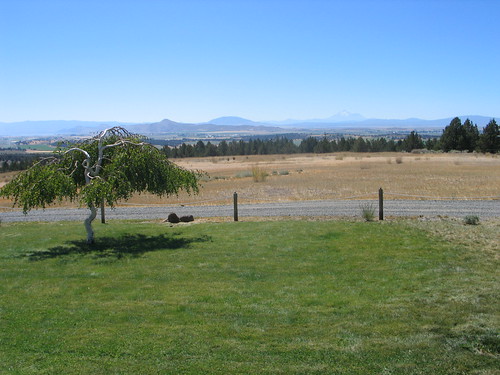
Oregon View
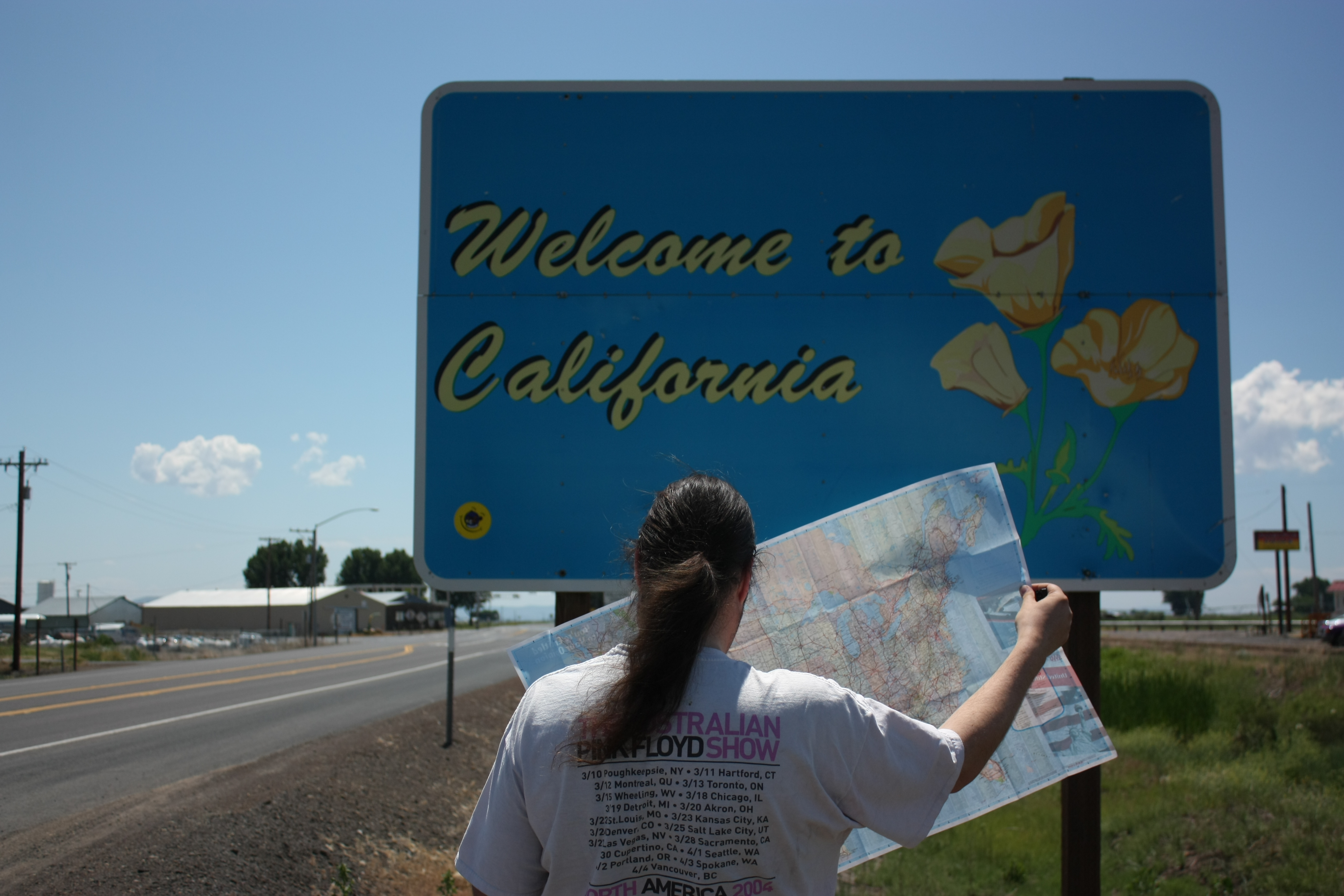
Welcome to California!
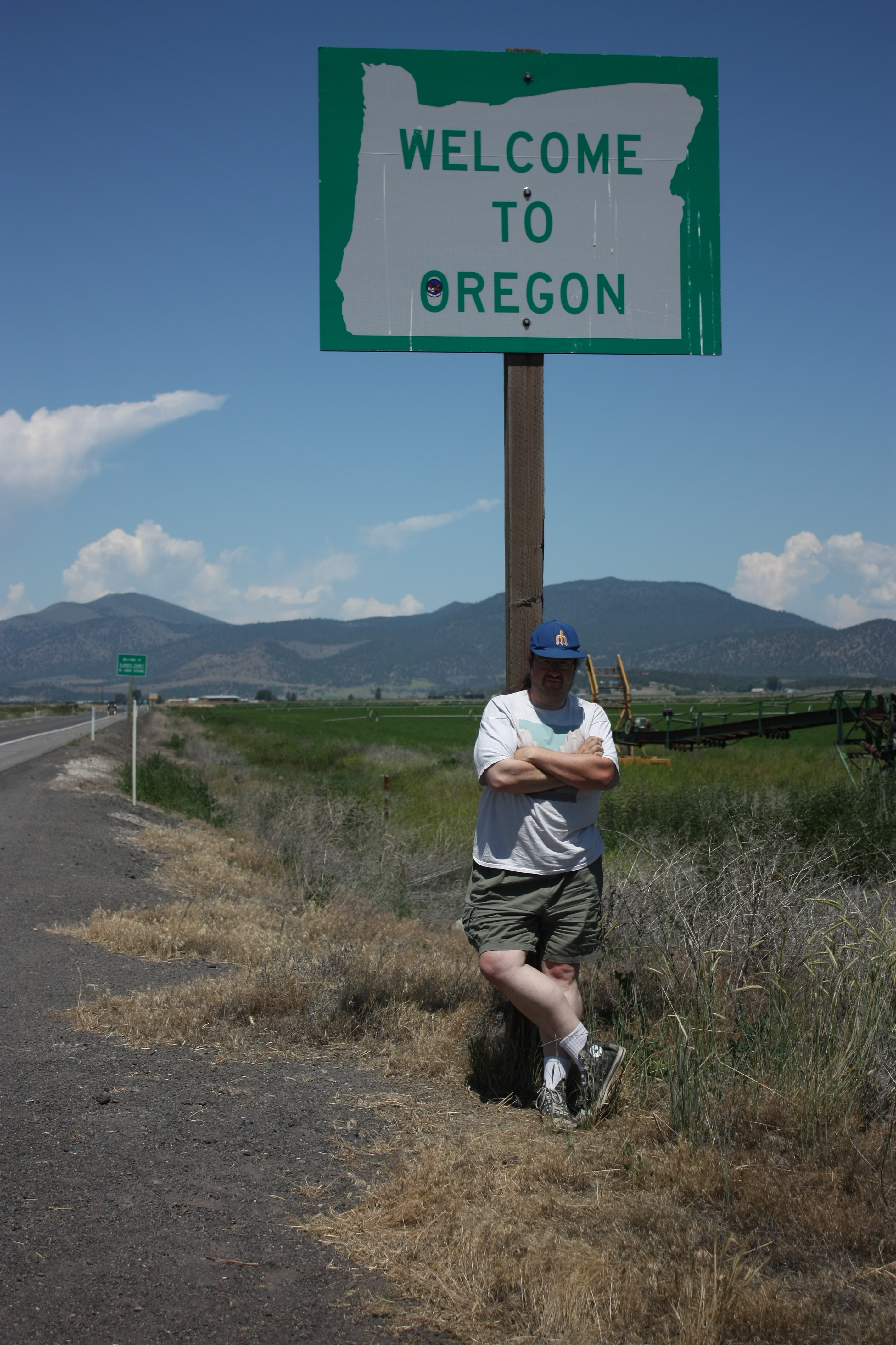
Welcome to Oregon
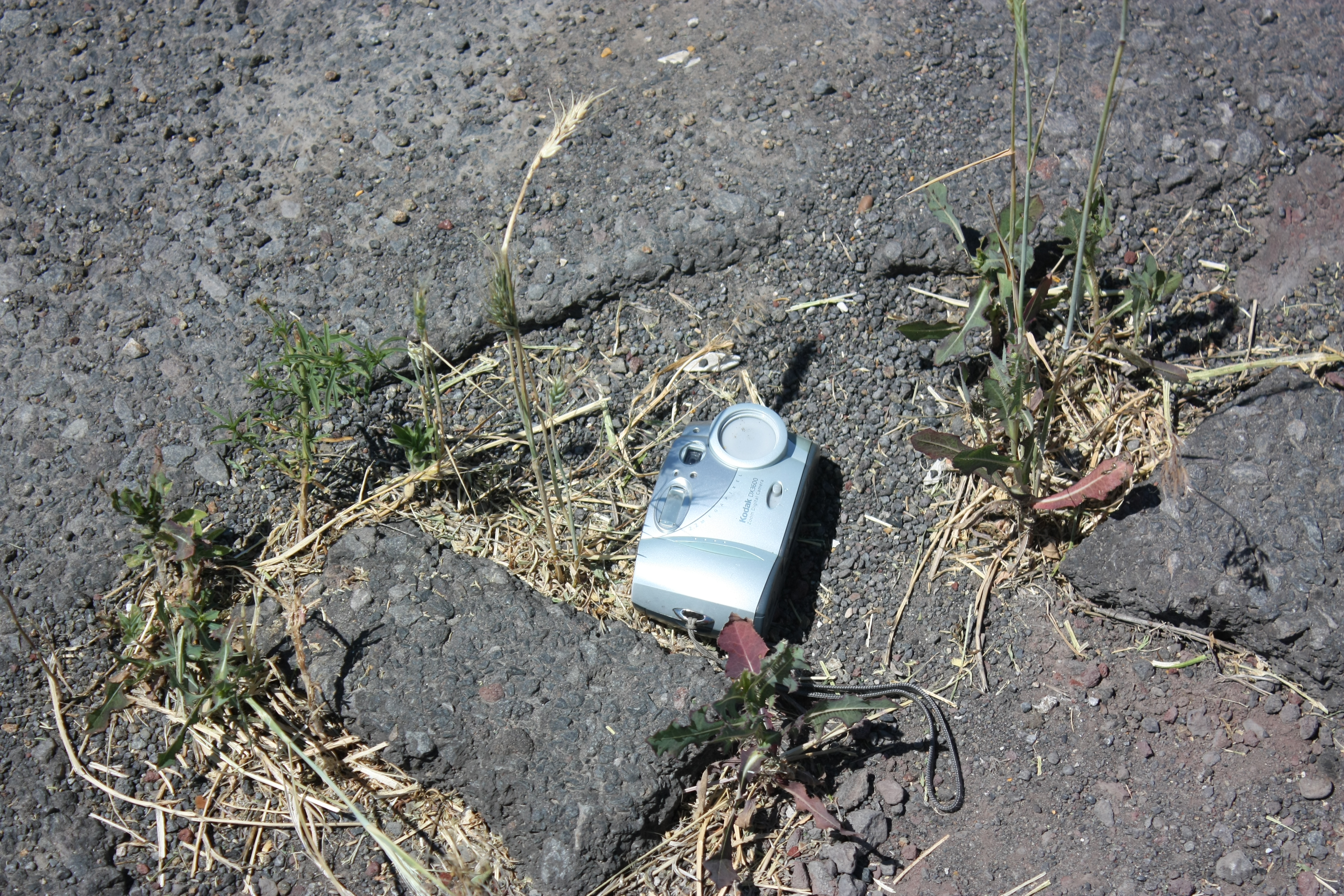
Someone lost a camera

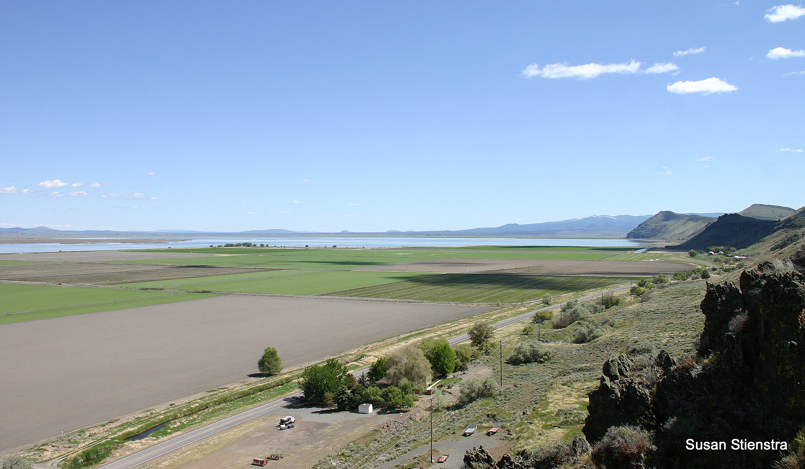
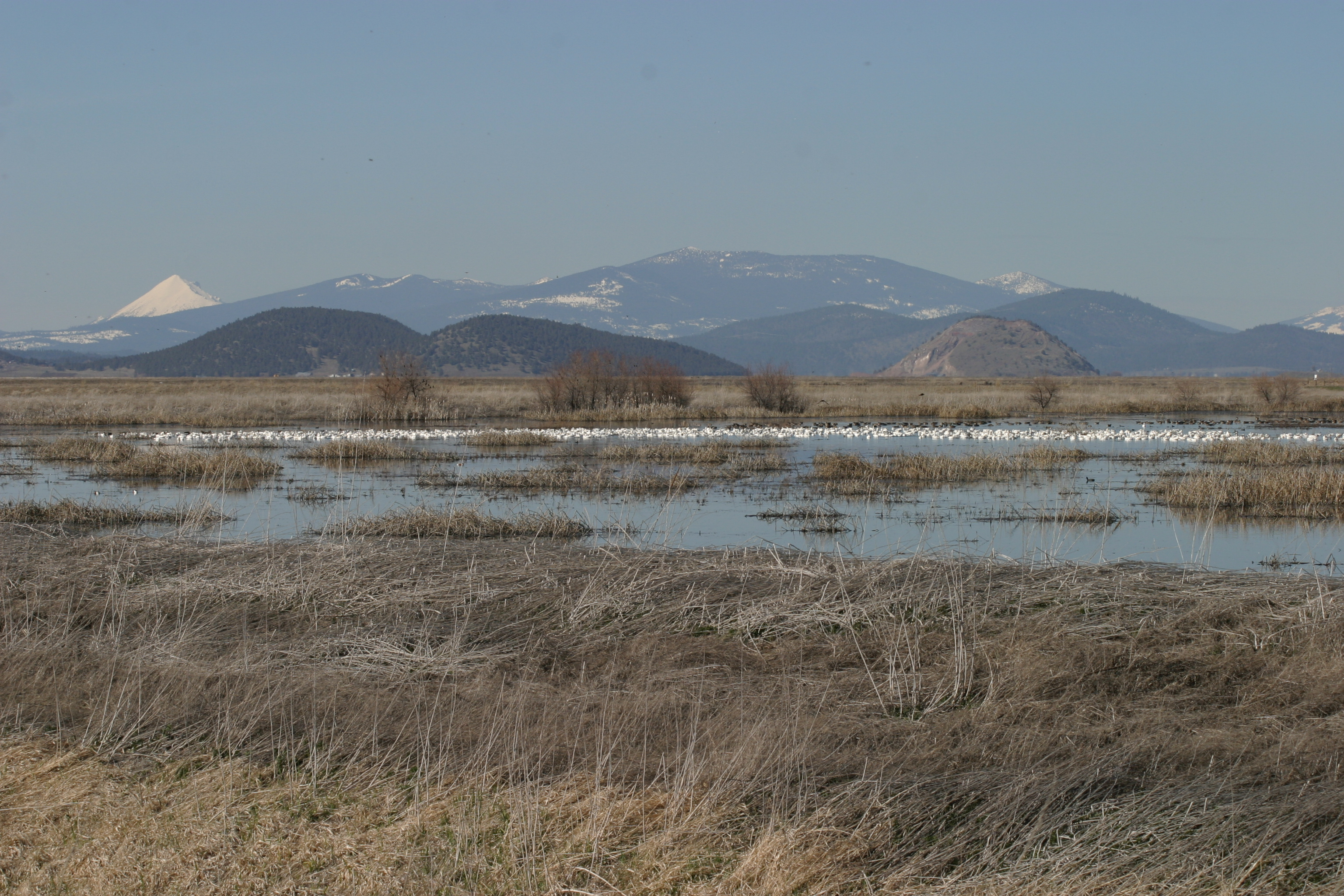
Lower Klamath NWR and Shasta

Red-tailed Hawk
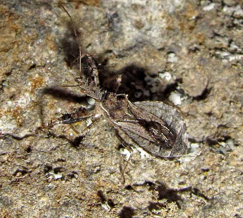
Sinea complexa

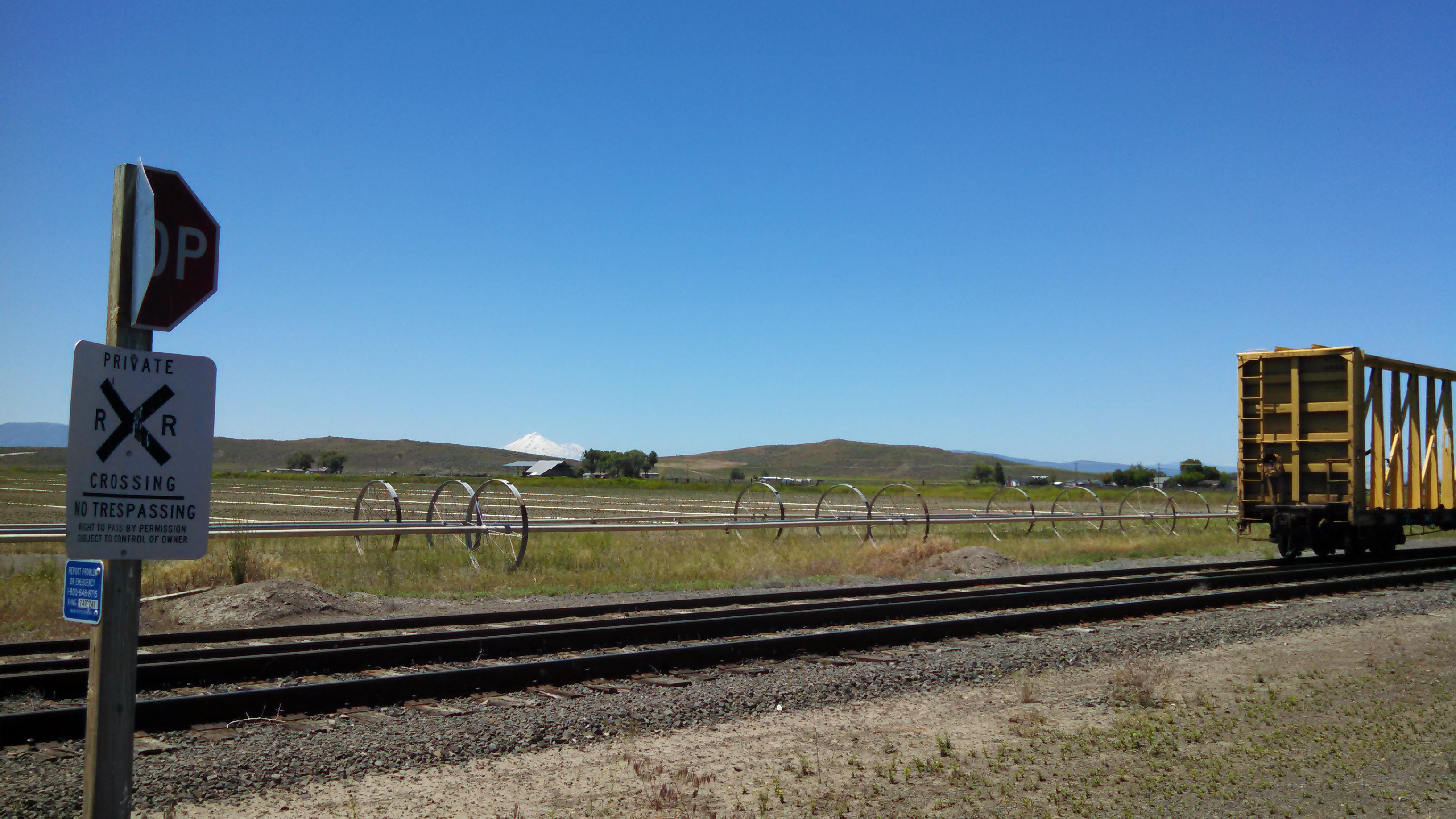
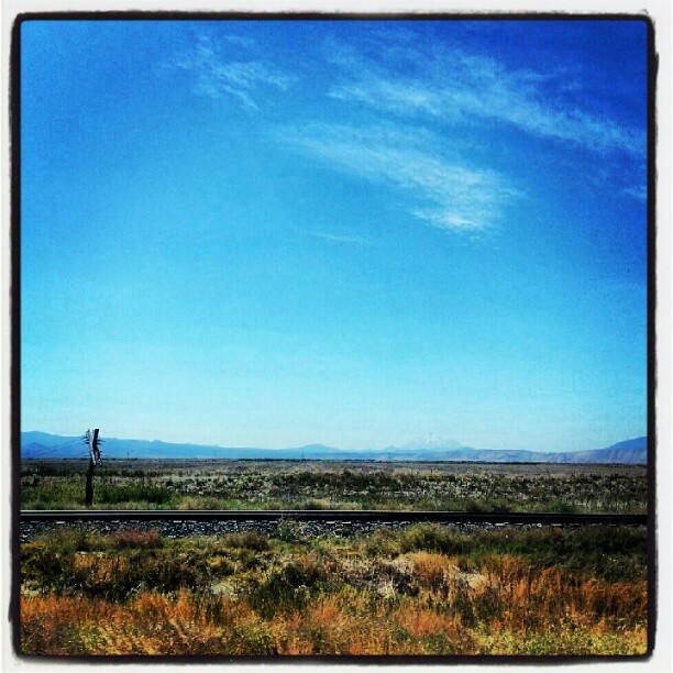
Harpold Road, Oregon (overview)
Harpold Road, Oregon (details)
view down the aisle.
Shasta View
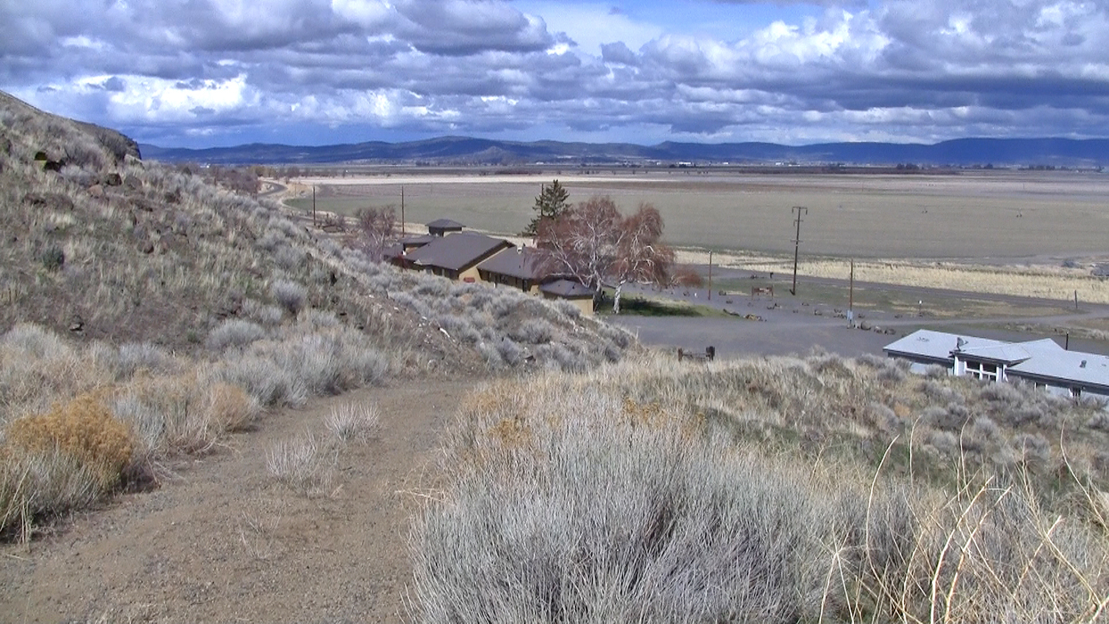
Winema Lodge-trail view, downhill
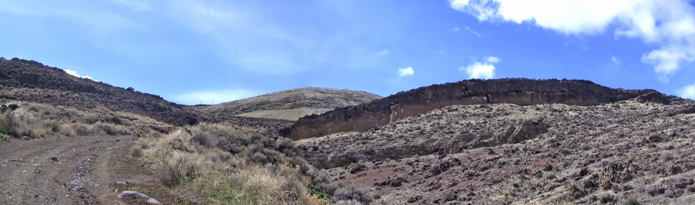
Winema Lodge-trail view, uphill
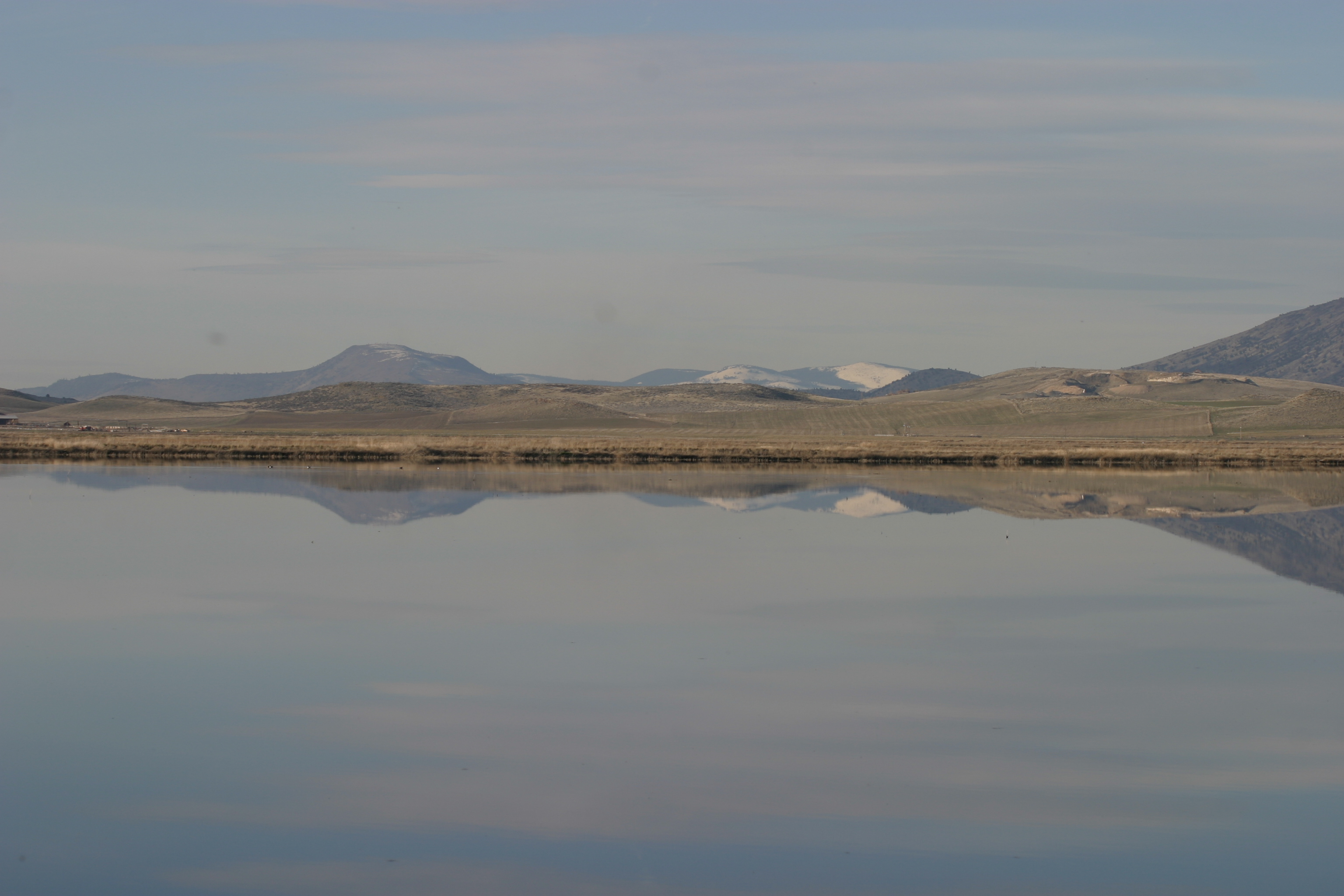
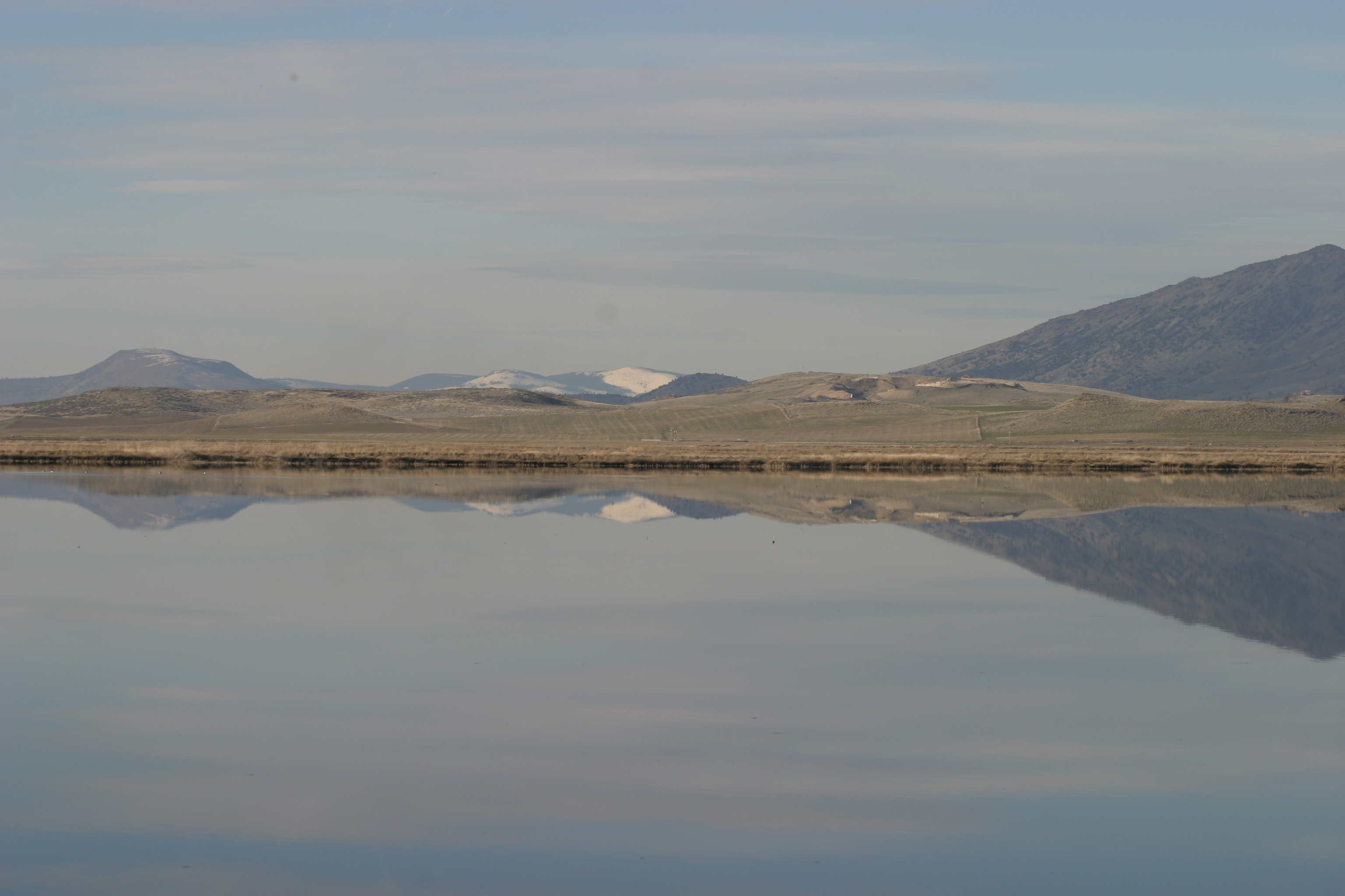
Shasta View
View over Tule Lake from the Winema Lodge-trail
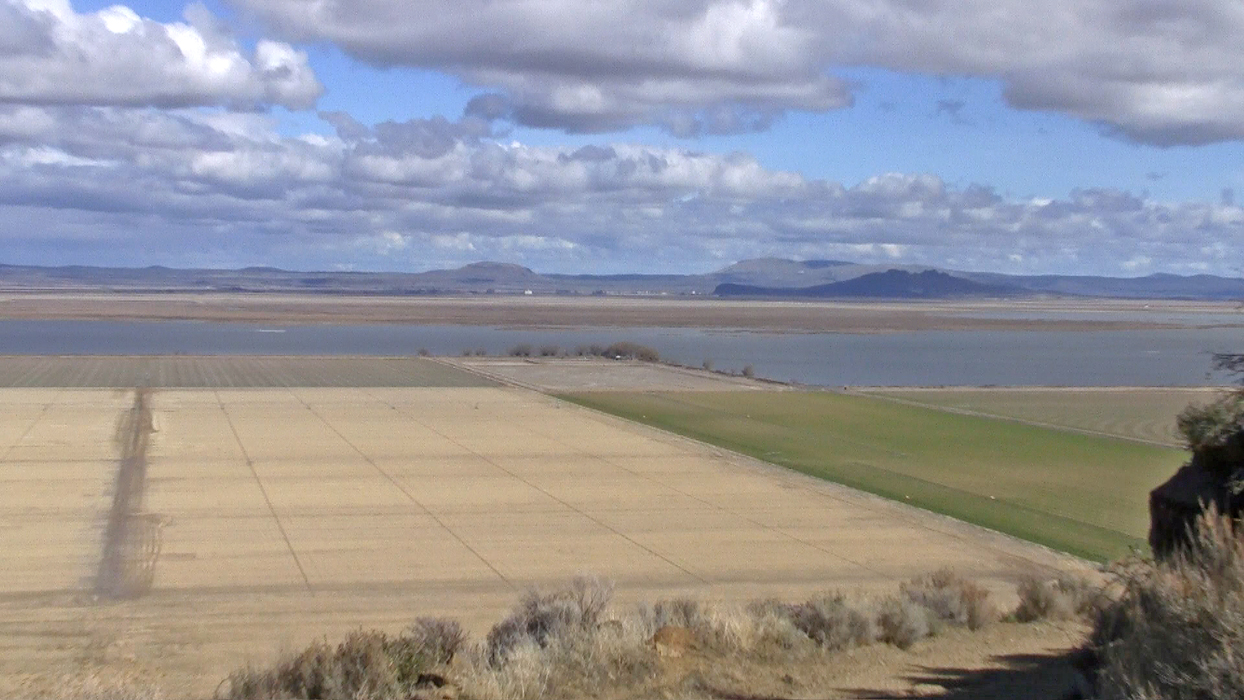
View from above
views, Lower Klamath NWR, Siskiyou Cty, CA, 2004-03-13 (10 of 10).jpg
views, Lower Klamath NWR, Siskiyou Cty, CA, 2004-03-13 (9 of 10).jpg
views, Lower Klamath NWR, Siskiyou Cty, CA, 2004-03-13 (1 of 10).jpg
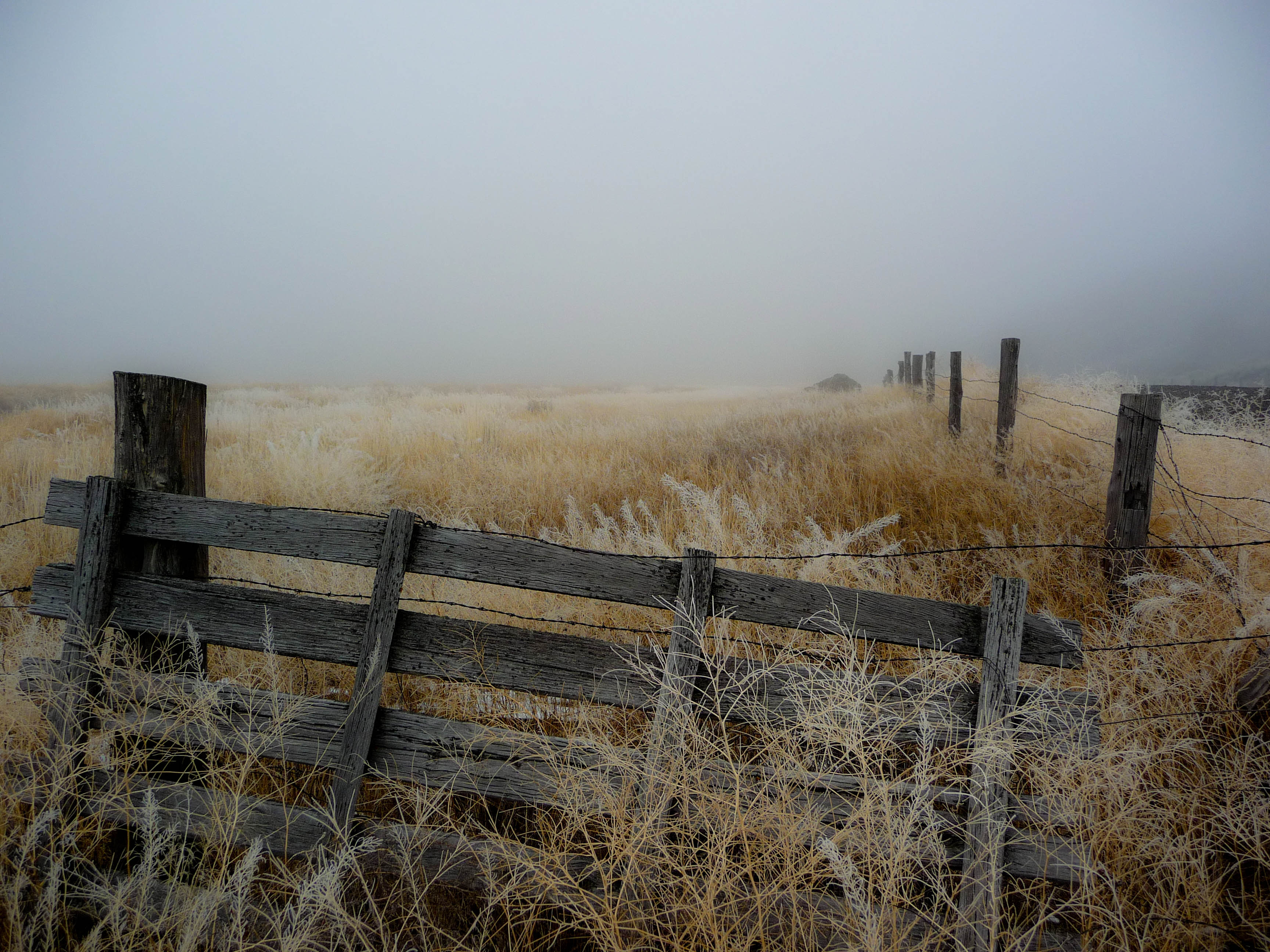
Fog, Fence, Field
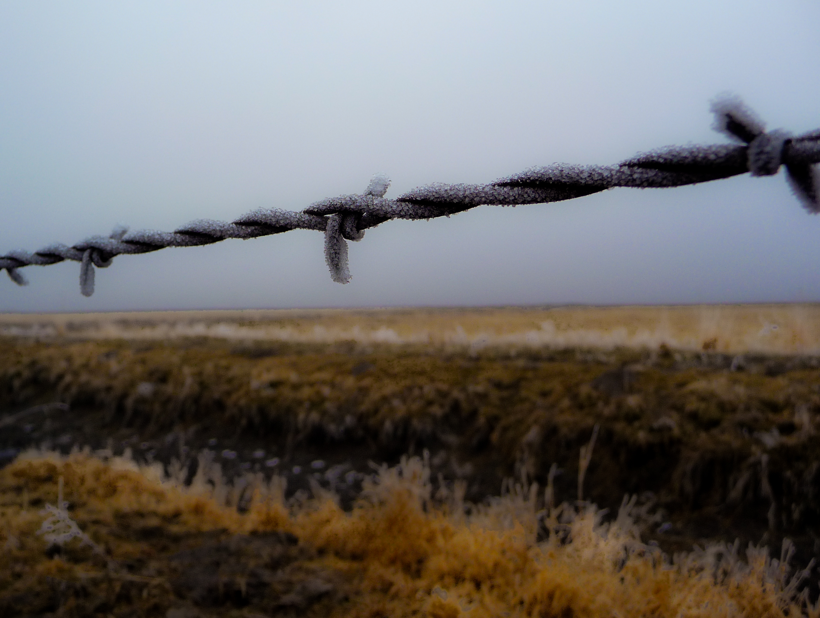
Fog & Frost
naked lunch
American concentration camp
It's so hazy from the #wildfires...
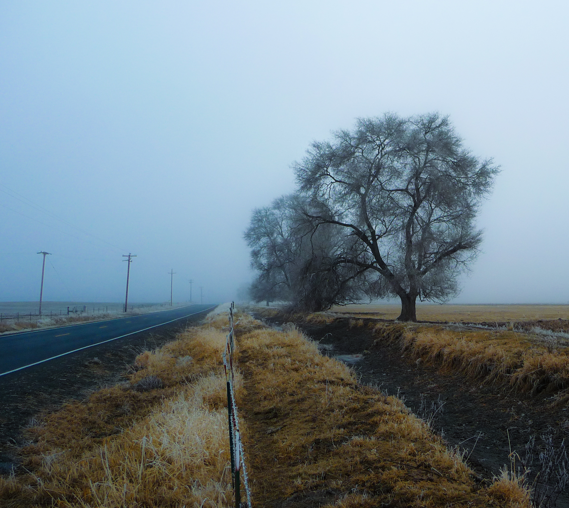
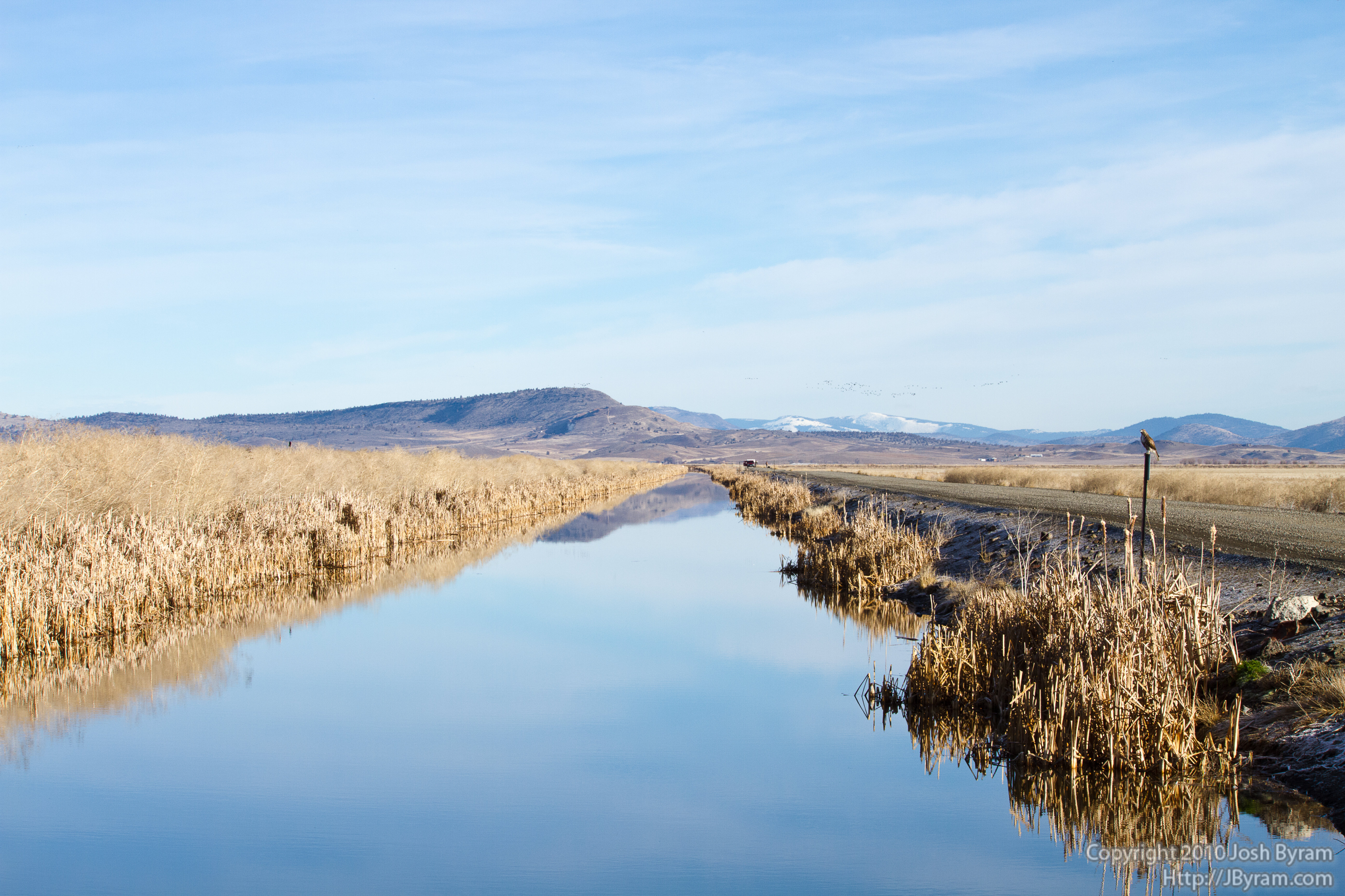
Winter Tree / Empty Ditch
hdr_field 053_4_5_tonemapped
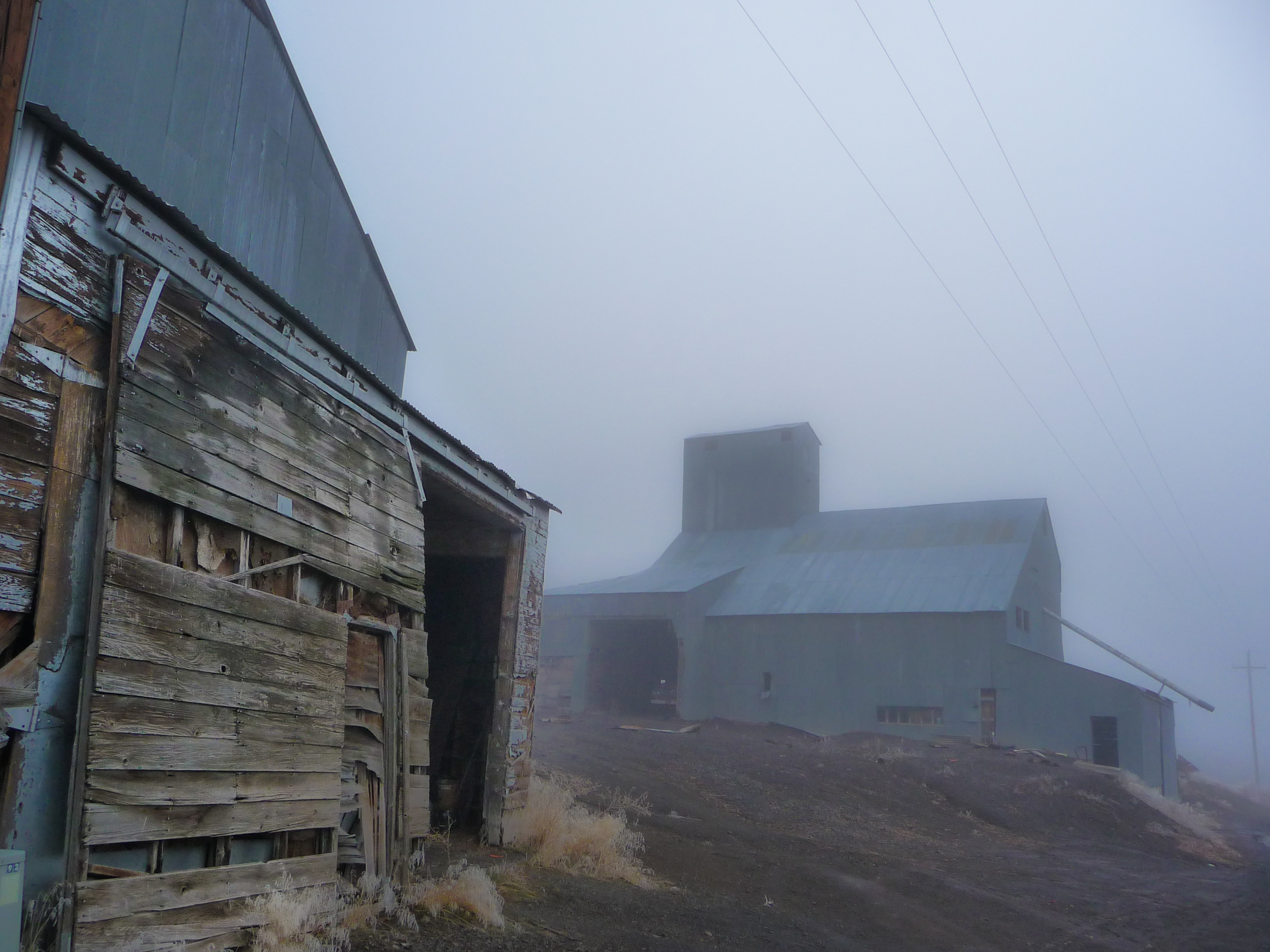
Farm Festooned With Fog
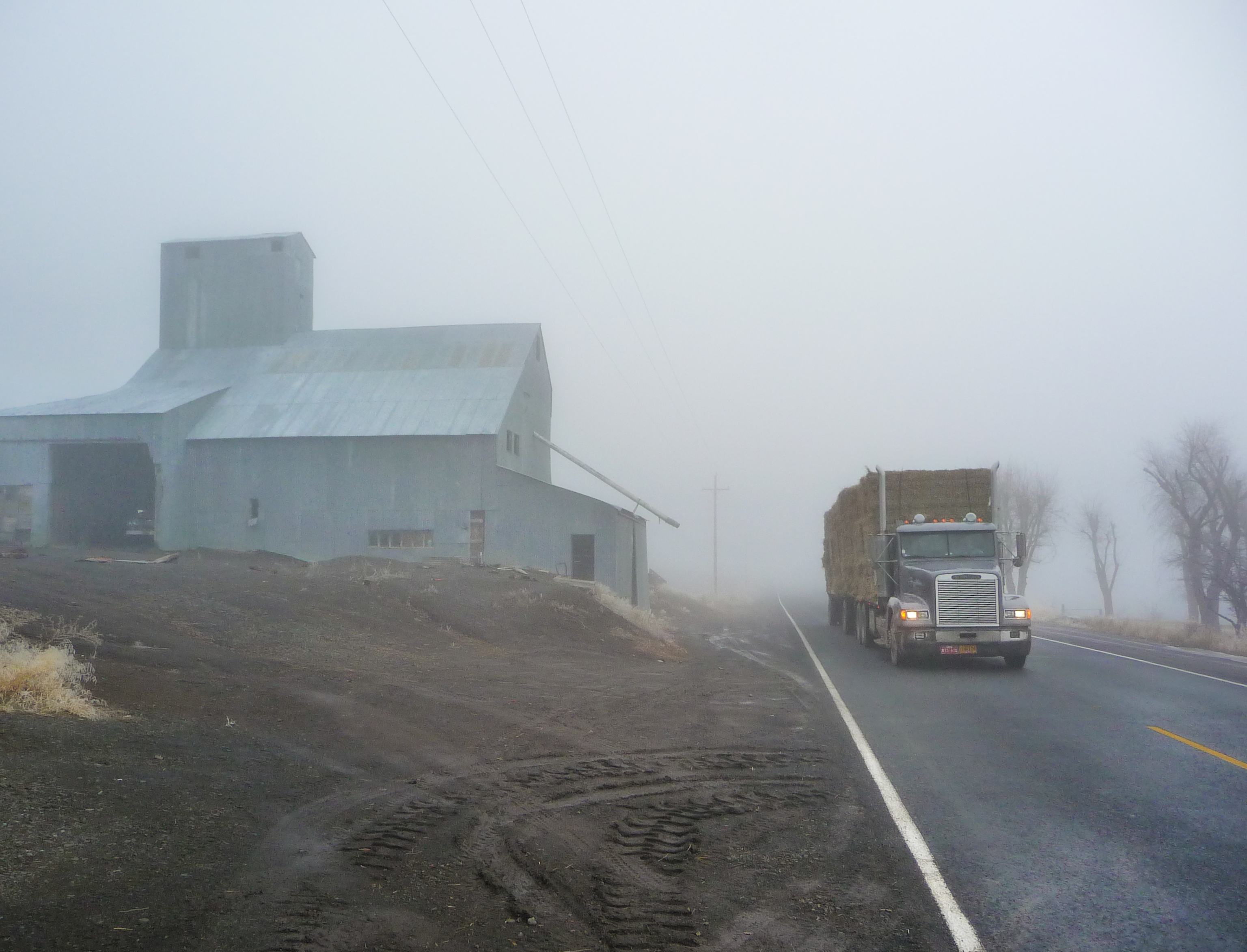
Hauling Hay
20100228_MG_7143 - Art 207 - Assignment 8.2 - Landscape
20100228_MG_7132 - Art 207 - Assignment 8.3 - Landscape
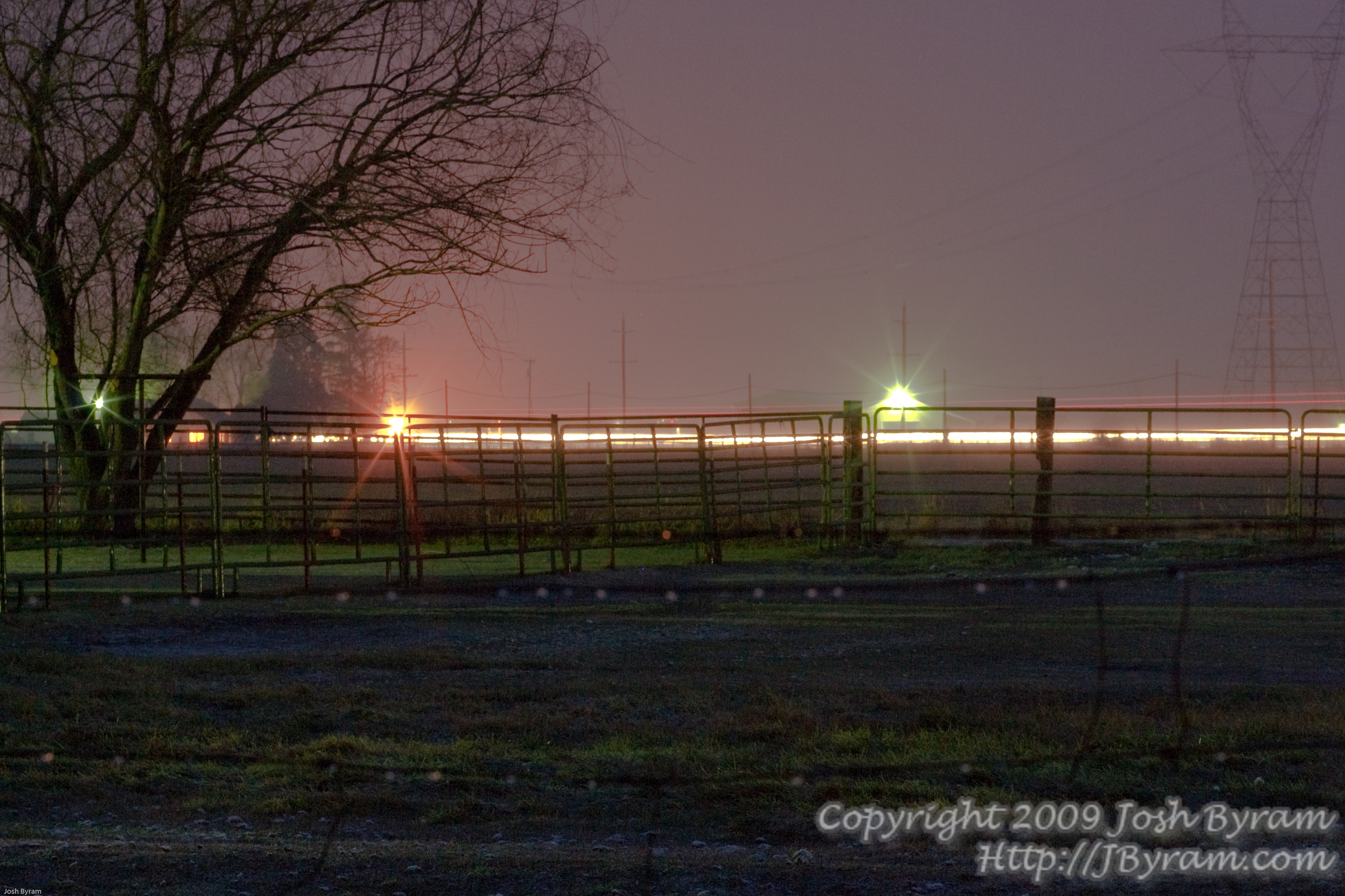
20091111IMG_0585-Night lights
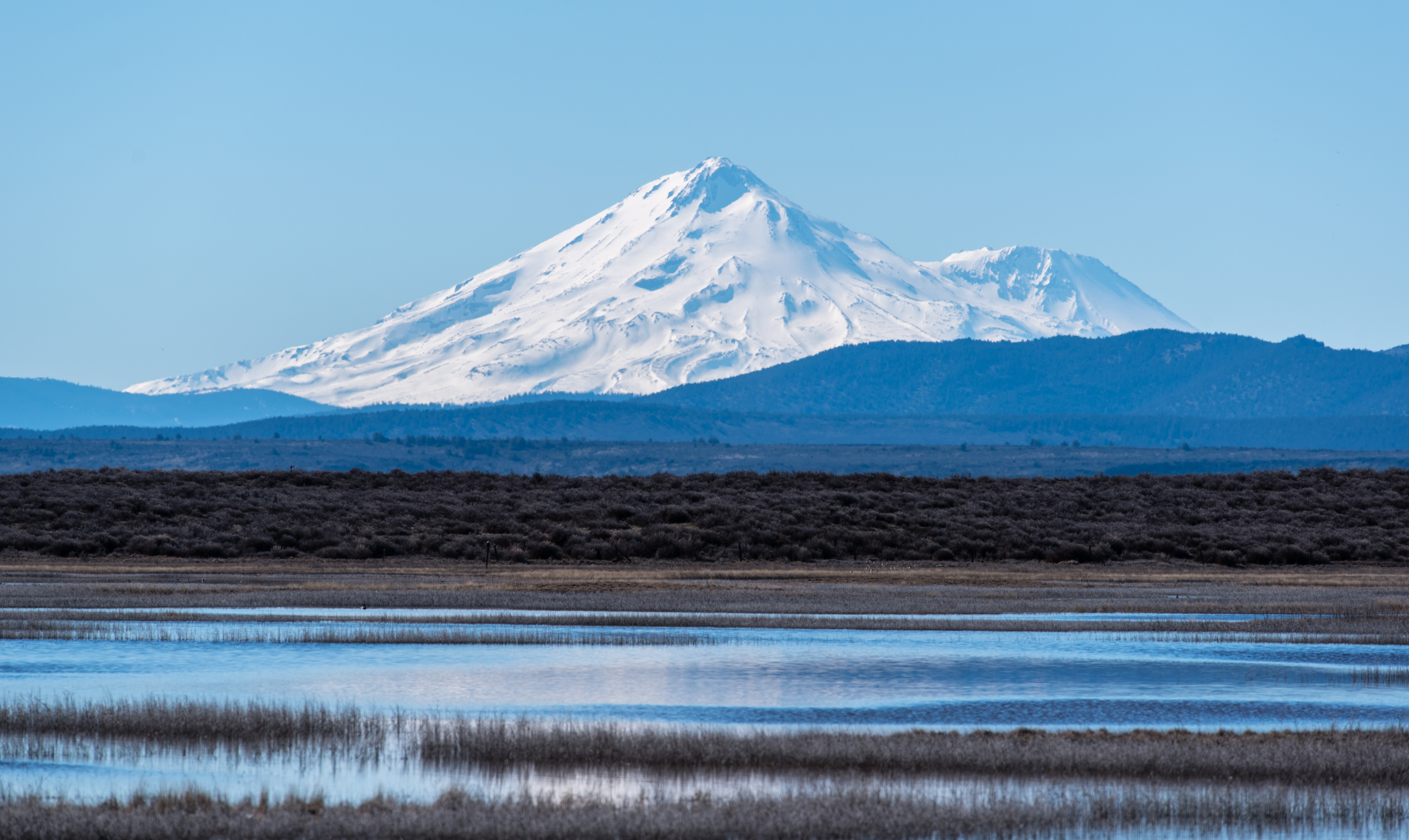
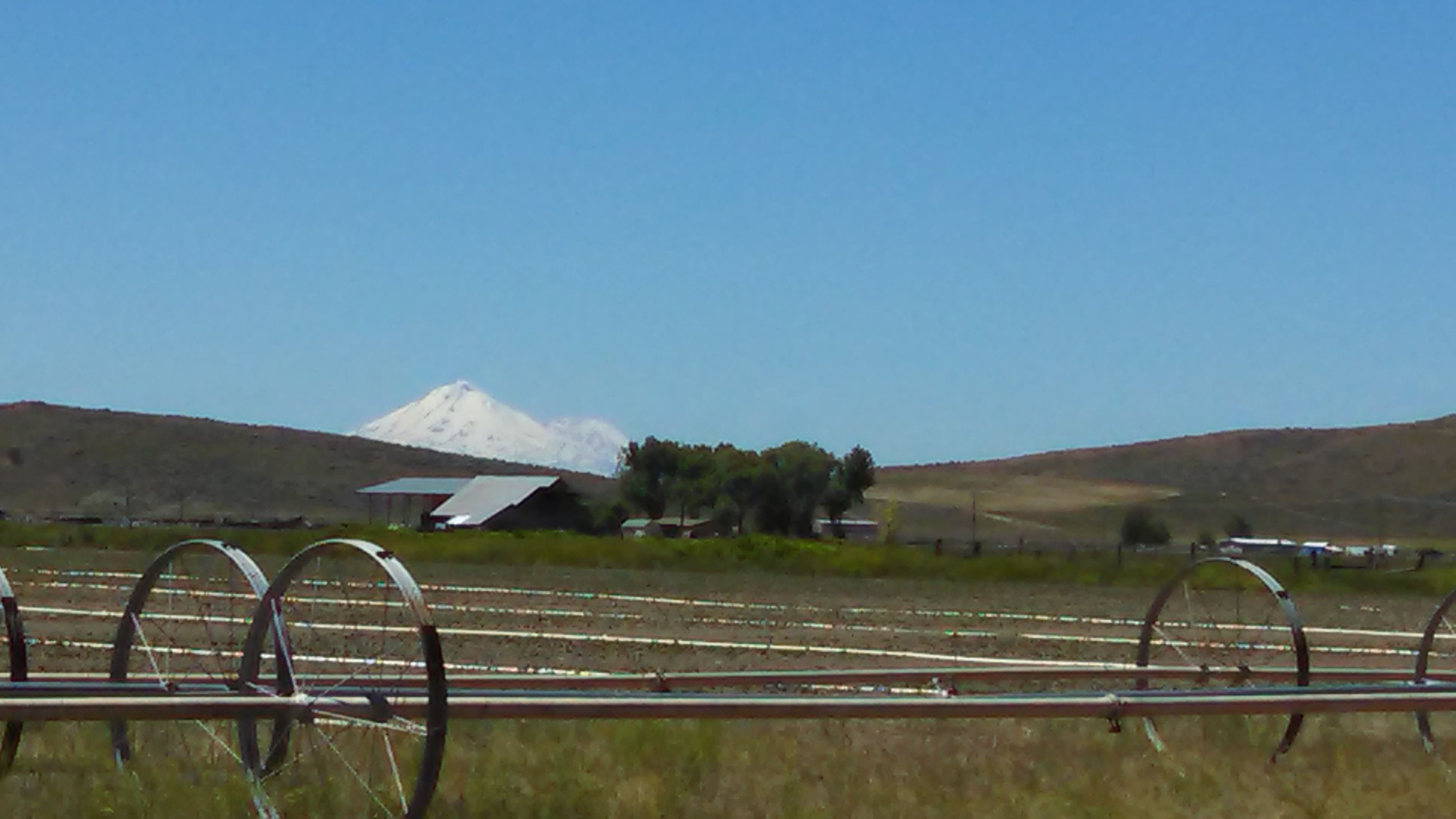
Mt. Shasta
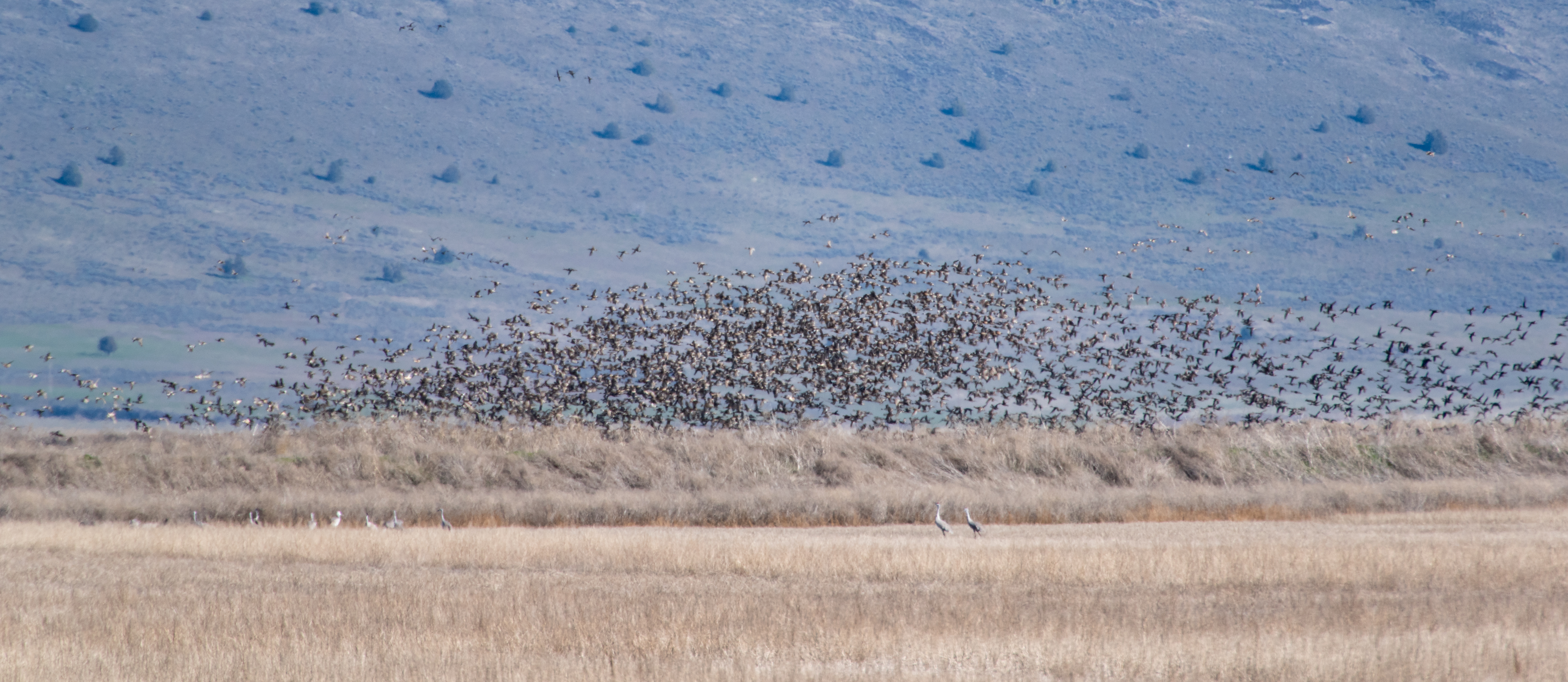
Sandhill Crane (foreground)
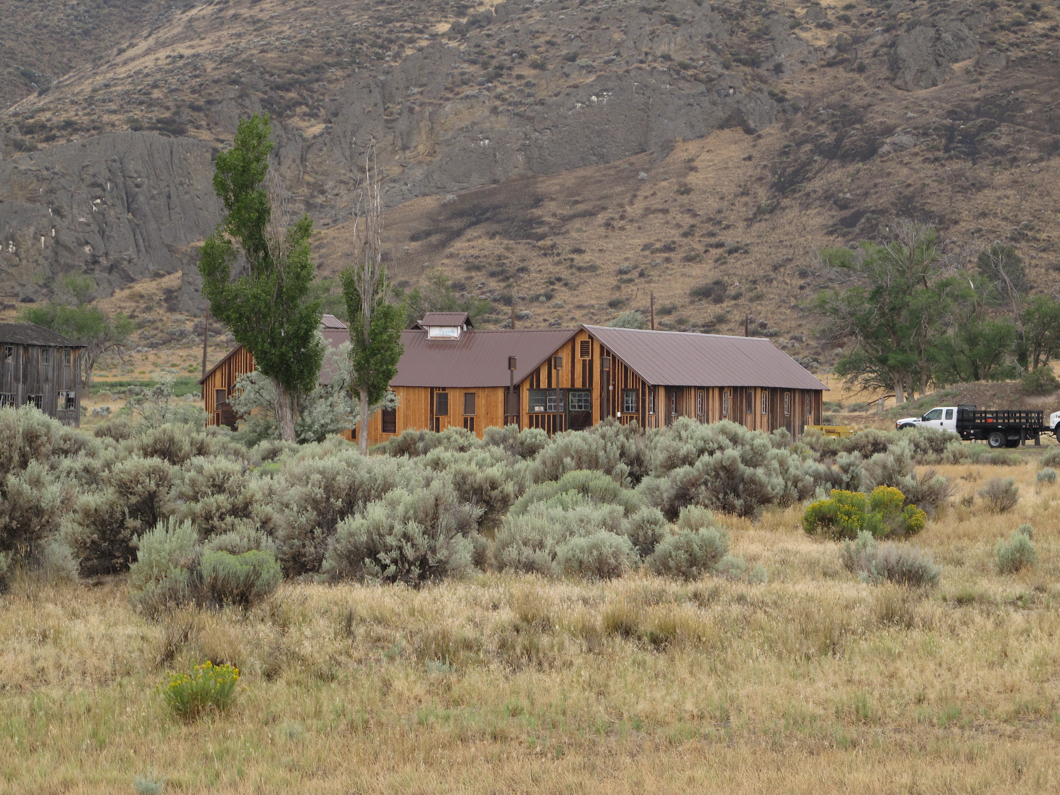
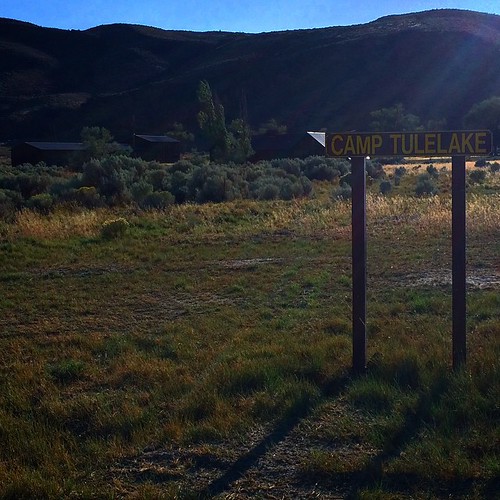
Tule Lake Japanese Segregation Center - Camp Tulelake
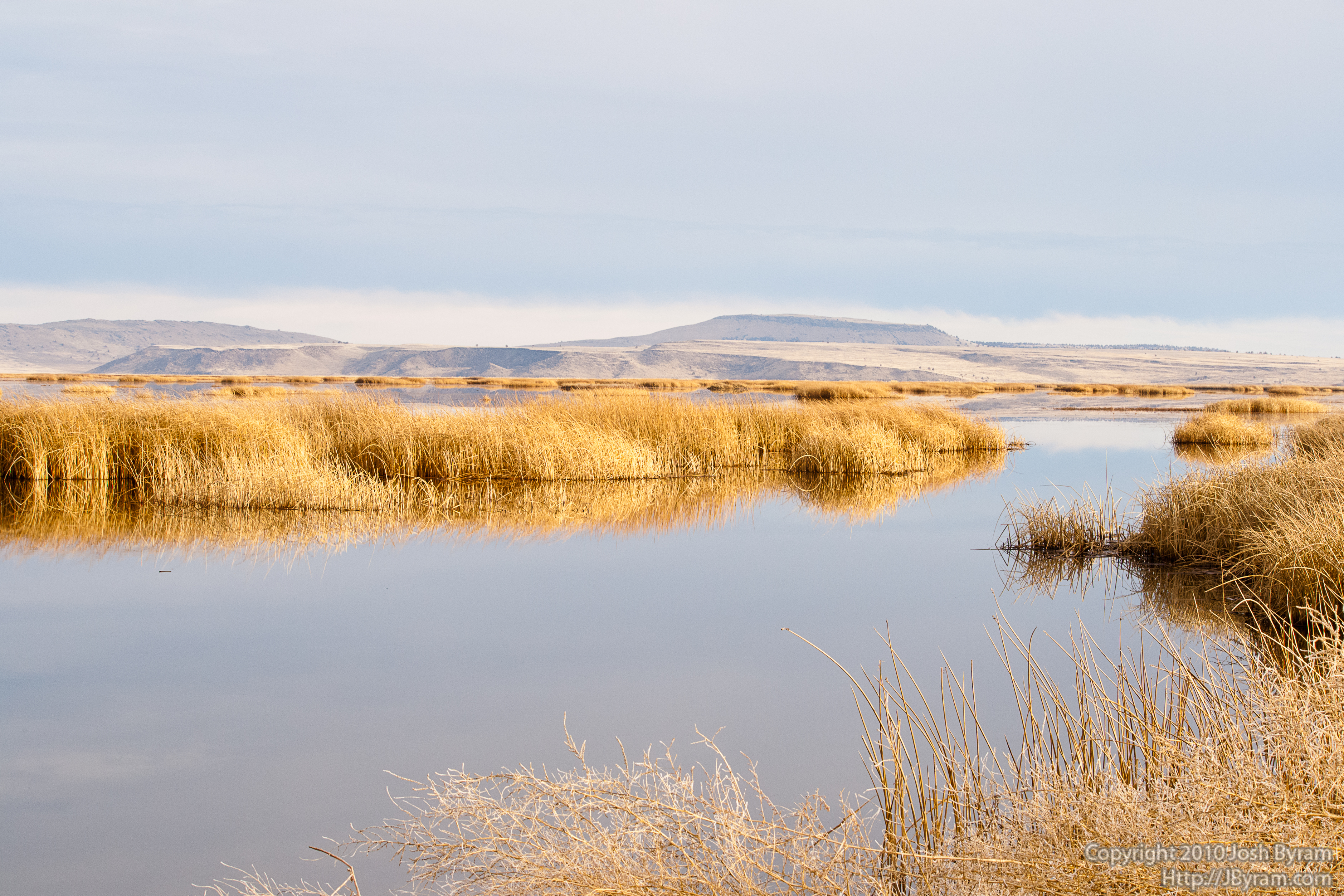
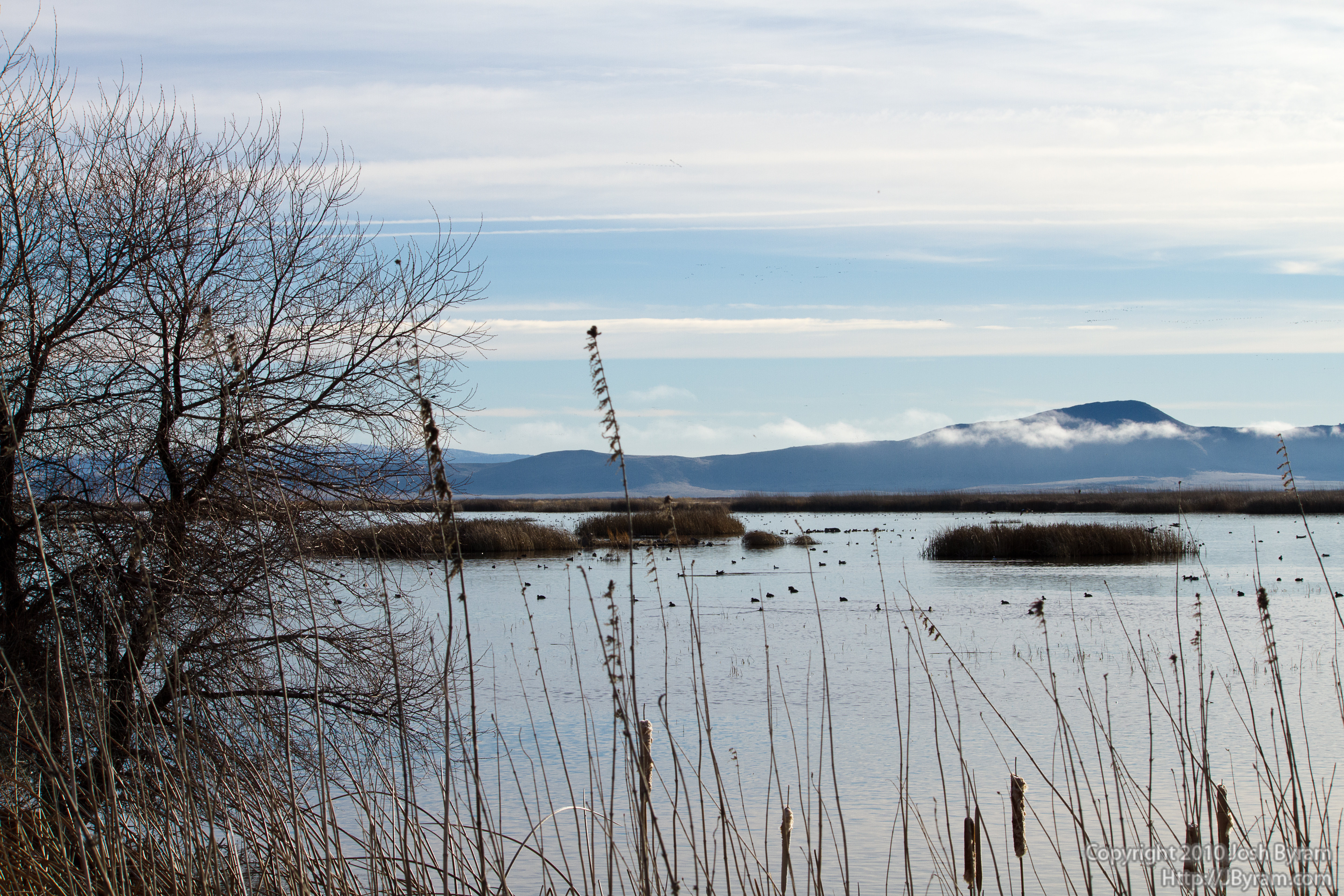
20100114IMG_6600Mirror Marsh
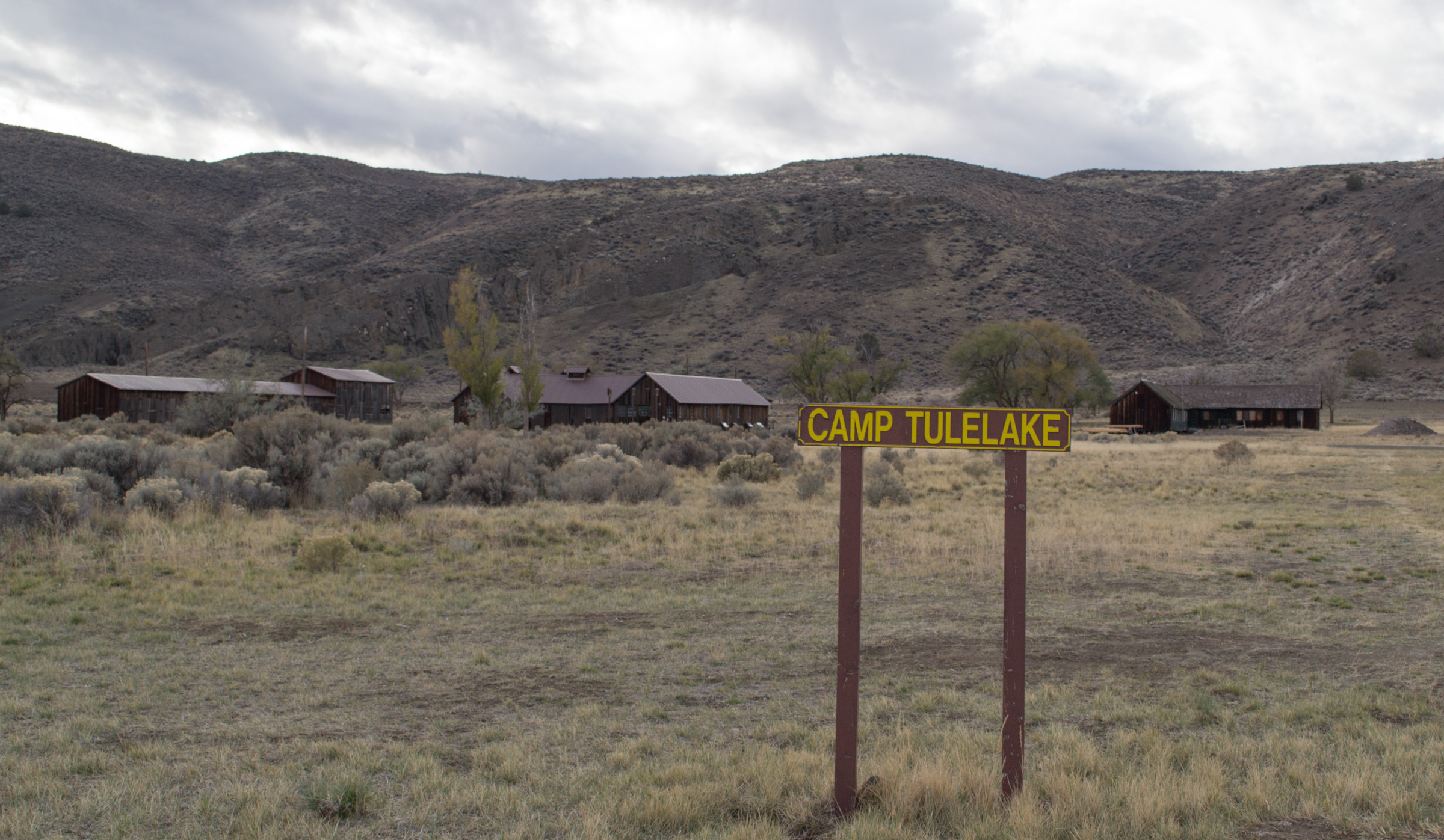
Camp Tulelake (1049)
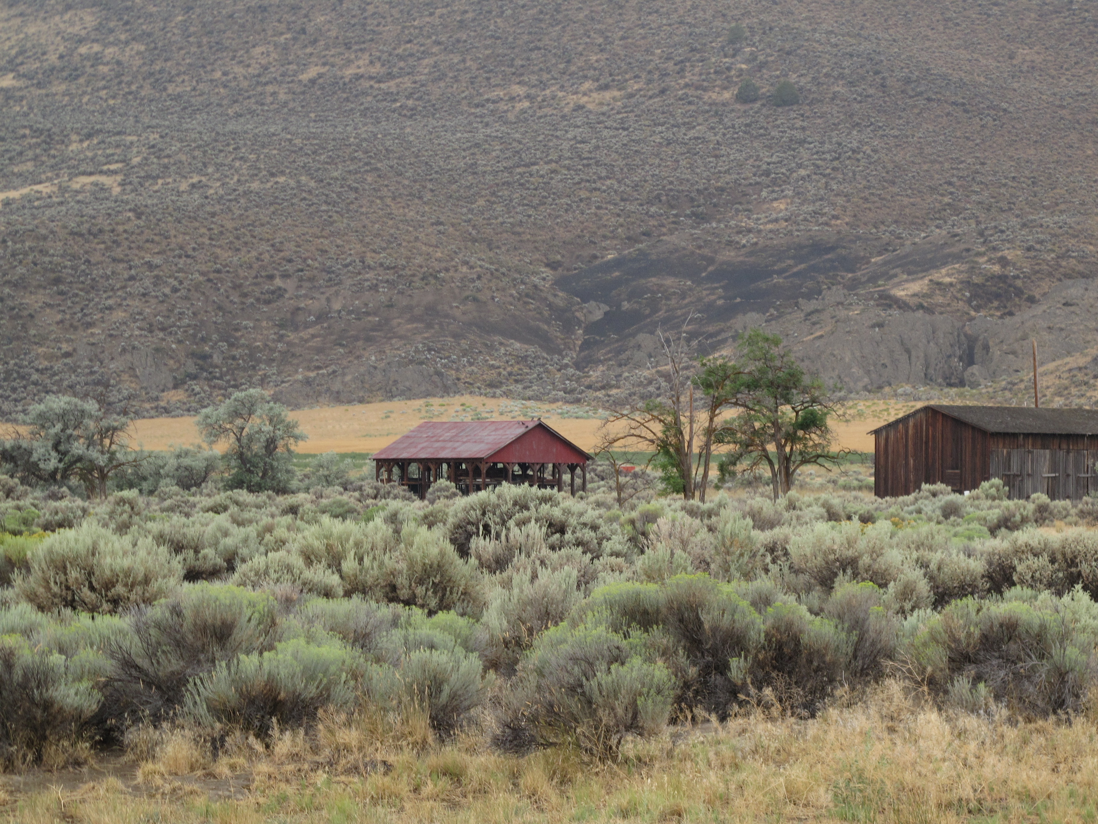
Tule Lake Japanese Segregation Center - Camp Tulelake

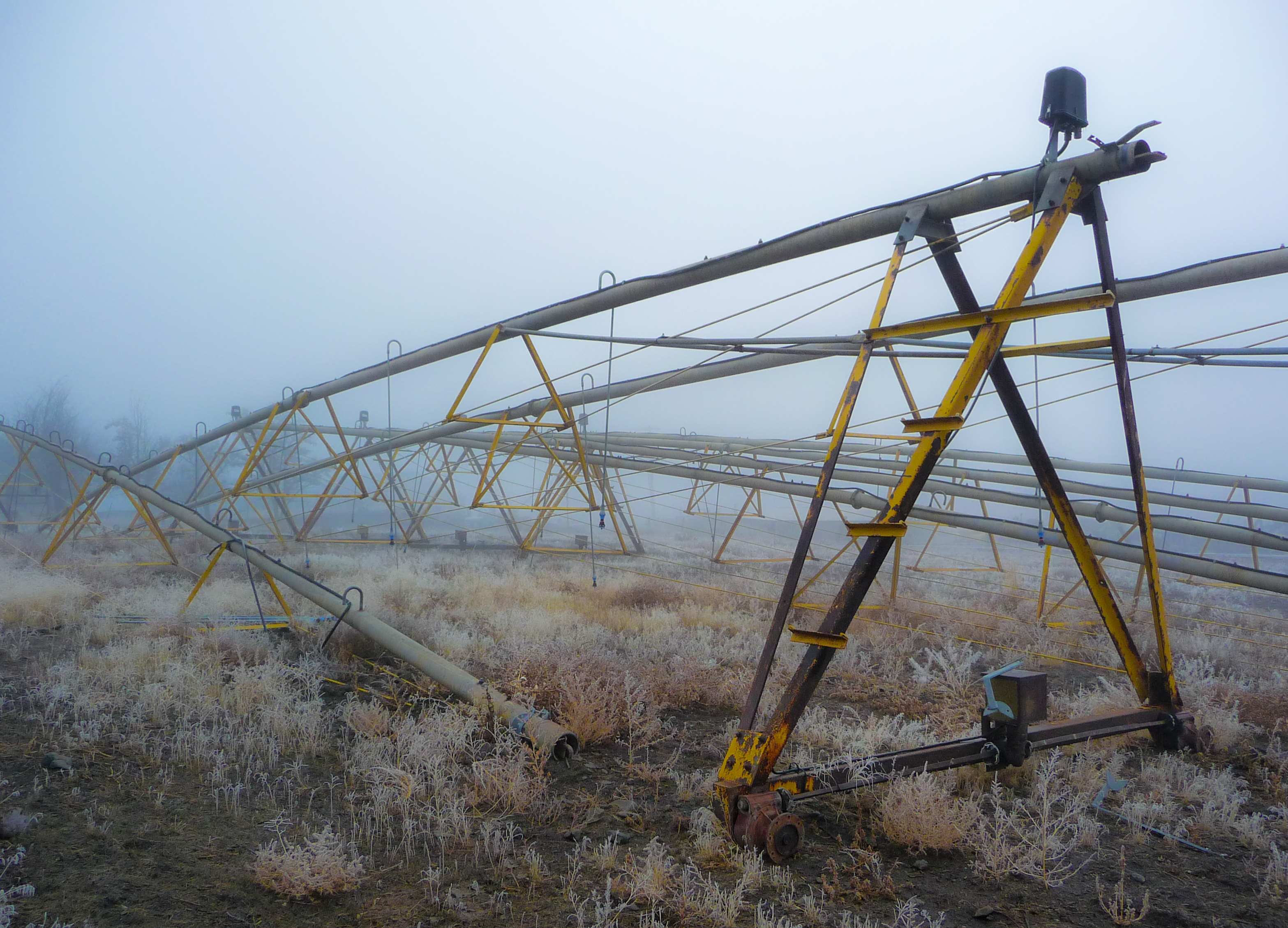
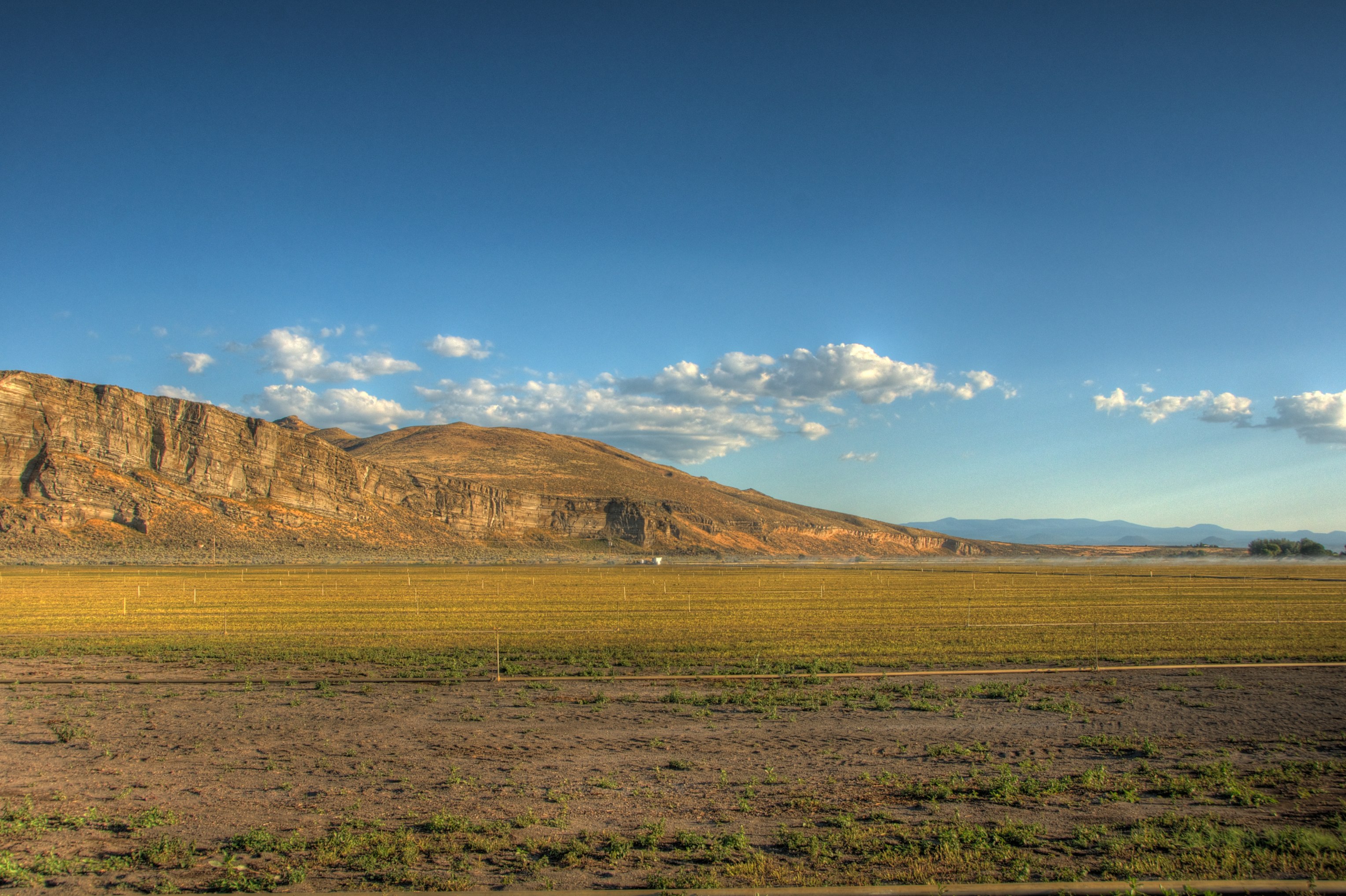
Irrigating the Fields
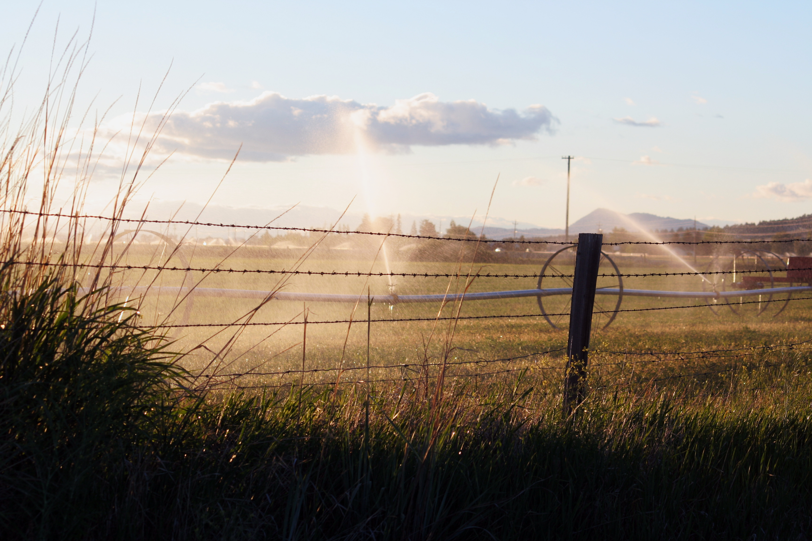
Irrigating the Fields
Topographic Map of Merrill, OR, USA
Find elevation by address:

Places in Merrill, OR, USA:
Places near Merrill, OR, USA:
21180 Or-39
State Line Rd, Tulelake, CA, USA
19848 Dodds Hollow Rd
Stukel Mountain
State Line Rd, Merrill, OR, USA
2238 Ca-139
Tulelake
4030 Lower Klamath Lake Rd
Co Rd, Tulelake, CA, USA
2341 Cross Rd
10756 Preddy Ave
CA-, Tulelake, CA, USA
5765 Burgdorf Rd
CA-, Tulelake, CA, USA
Midland
CA-, Tulelake, CA, USA
Newell
20270 Lefever St
12021 Overland Dr
13615 Shamrock Ln
Recent Searches:
- Elevation of Corso Fratelli Cairoli, 35, Macerata MC, Italy
- Elevation of Tallevast Rd, Sarasota, FL, USA
- Elevation of 4th St E, Sonoma, CA, USA
- Elevation of Black Hollow Rd, Pennsdale, PA, USA
- Elevation of Oakland Ave, Williamsport, PA, USA
- Elevation of Pedrógão Grande, Portugal
- Elevation of Klee Dr, Martinsburg, WV, USA
- Elevation of Via Roma, Pieranica CR, Italy
- Elevation of Tavkvetili Mountain, Georgia
- Elevation of Hartfords Bluff Cir, Mt Pleasant, SC, USA