Elevation of Stukel Mountain, Oregon, USA
Location: United States > Oregon > Klamath County > Klamath Falls >
Longitude: -121.63610
Latitude: 42.1009825
Elevation: 1963m / 6440feet
Barometric Pressure: 80KPa
Elevation Map:
Satellite Map:
Related Photos:
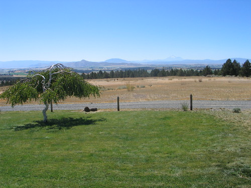
Oregon View

How Windy Was It?
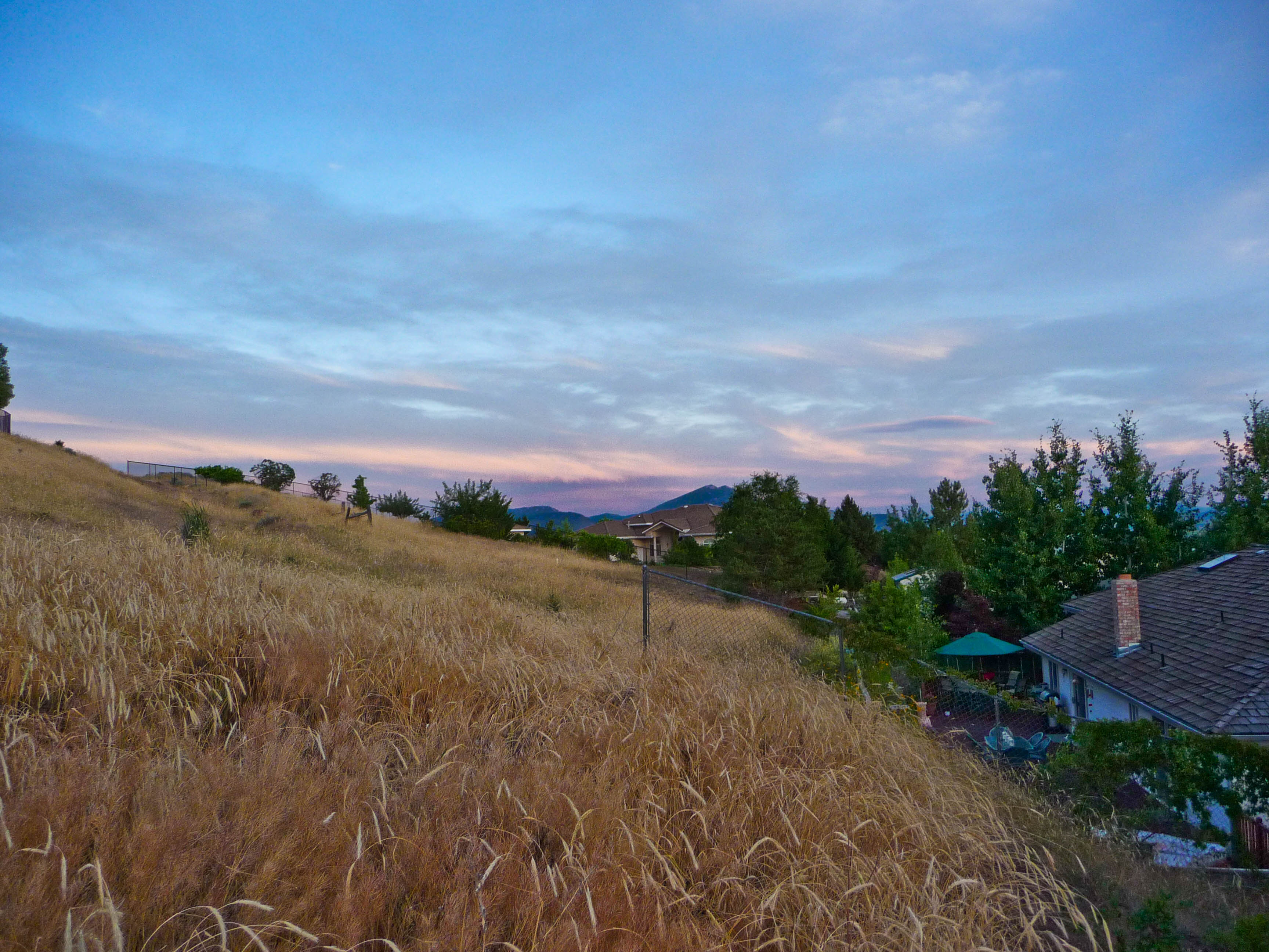
View From Brenda's Yard
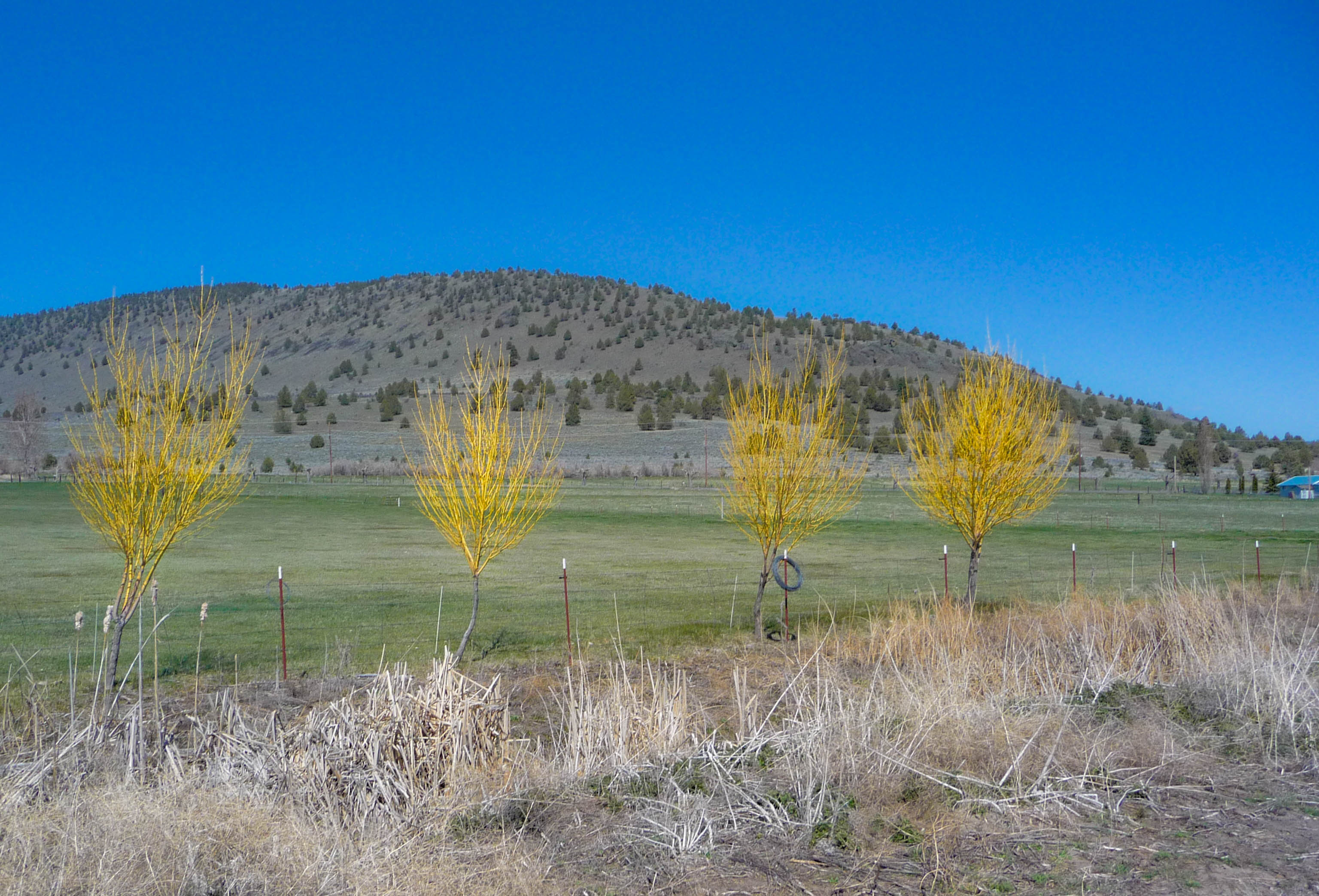
Spring Trees - OC&E Trail

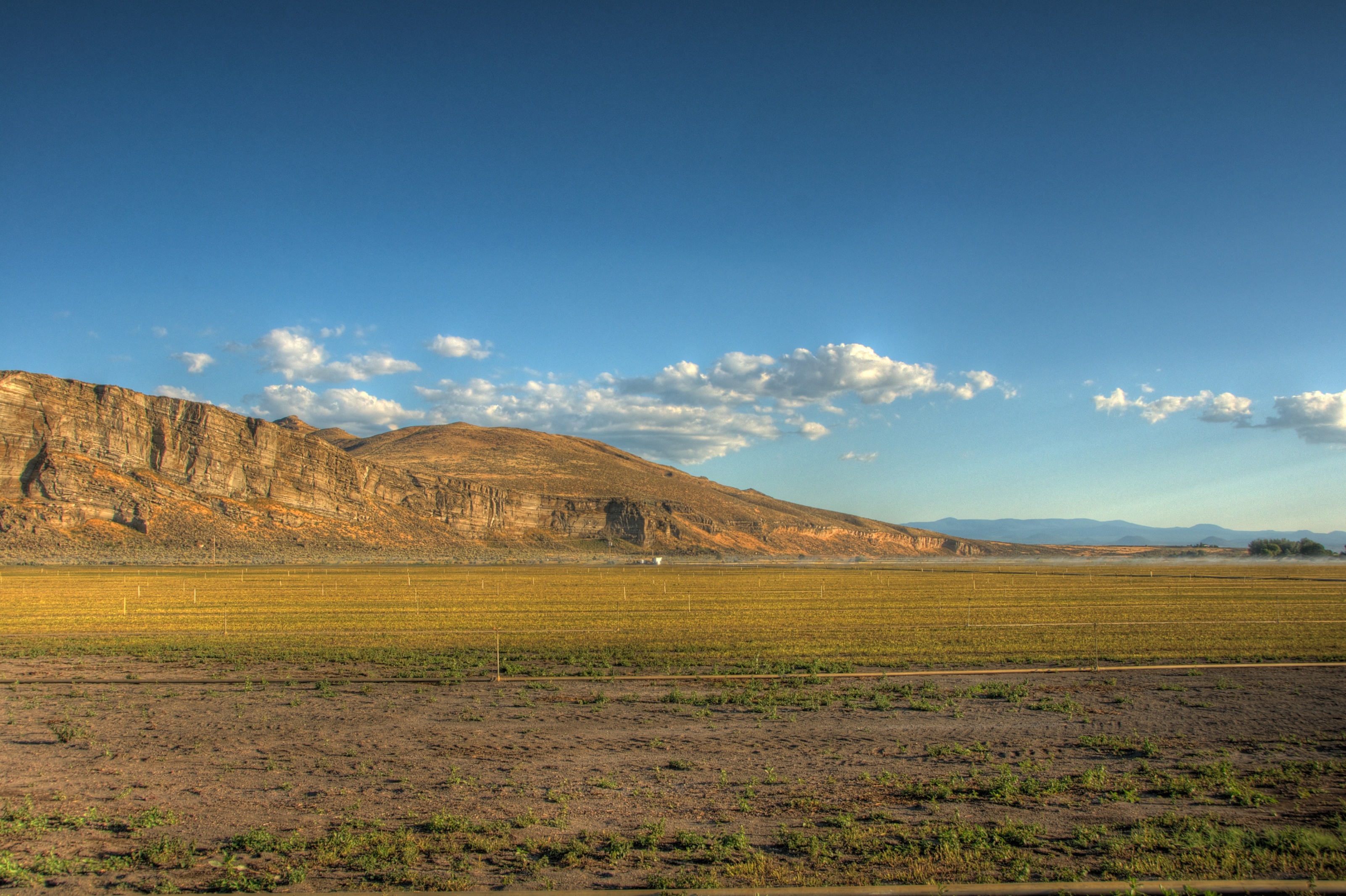
Lower Klamath NWR and Shasta
view down the aisle.
Topographic Map of Stukel Mountain, Oregon, USA
Find elevation by address:

Places near Stukel Mountain, Oregon, USA:
21180 Or-39
Merrill
19848 Dodds Hollow Rd
10756 Preddy Ave
4030 Lower Klamath Lake Rd
2341 Cross Rd
State Line Rd, Tulelake, CA, USA
State Line Rd, Merrill, OR, USA
Midland
2238 Ca-139
5765 Burgdorf Rd
Tulelake
20270 Lefever St
Co Rd, Tulelake, CA, USA
12021 Overland Dr
13615 Shamrock Ln
CA-, Tulelake, CA, USA
4000 Round Lake Rd
Keno
Dorris
Recent Searches:
- Elevation of Corso Fratelli Cairoli, 35, Macerata MC, Italy
- Elevation of Tallevast Rd, Sarasota, FL, USA
- Elevation of 4th St E, Sonoma, CA, USA
- Elevation of Black Hollow Rd, Pennsdale, PA, USA
- Elevation of Oakland Ave, Williamsport, PA, USA
- Elevation of Pedrógão Grande, Portugal
- Elevation of Klee Dr, Martinsburg, WV, USA
- Elevation of Via Roma, Pieranica CR, Italy
- Elevation of Tavkvetili Mountain, Georgia
- Elevation of Hartfords Bluff Cir, Mt Pleasant, SC, USA