Elevation of Preddy Ave, Klamath Falls, OR, USA
Location: United States > Oregon > Klamath County > Klamath Falls >
Longitude: -121.75178
Latitude: 42.1284974
Elevation: 1254m / 4114feet
Barometric Pressure: 87KPa
Elevation Map:
Satellite Map:
Related Photos:

Hiking the Ridge View at Sunrise

Hiking the Ridge View Trail

Sunset Hike on the Ridge View Trail

Sunrise on the Ridge View Trail

Hiking the Ridge View Trail

Hiking the Ridge View Trail

Hiking the Ridge View Trail

Seat with a View

Hiking the Ridge View

Sunset View from My Deck

Running on the Ridge View Trail

Hiking the Ridge View

Sunrise Hike on the Ridge View

Hiking the Ridge View Trail

Running the Ridge View Trail

Hiking the Ridge View

Hiking the Ridge View Trail
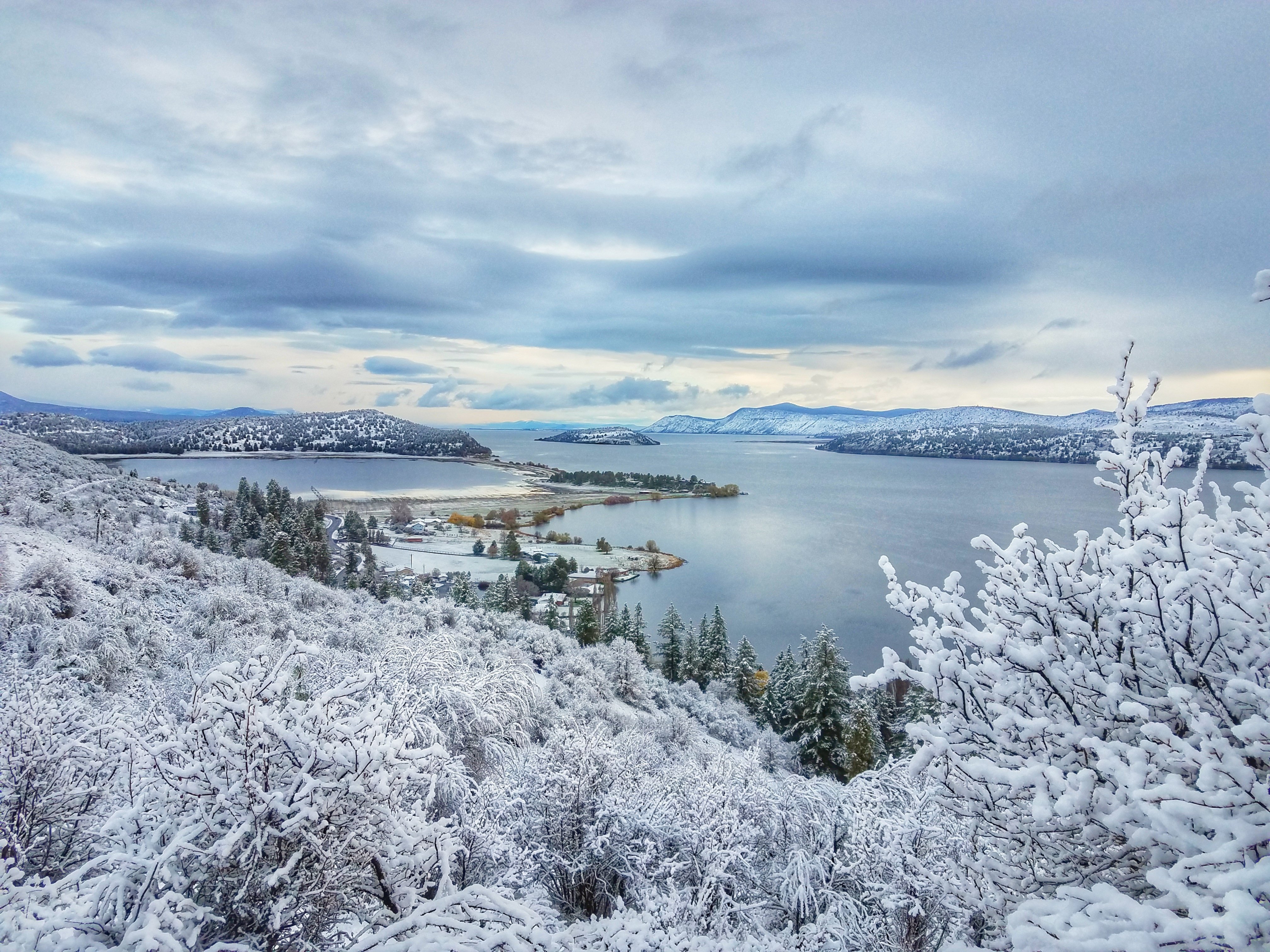
Spring Snow on the Ridge View Trail

Sunrise Hike on the Ridge View

Hiking the Ridge View Trail

Running on the Ridge View Trail

Klamath Falls Panorama

Hiking the Ridge View Trail

Riding the Ridge View Trail

Klamath Lake

Hiking the Ridge View Trail

Hiking the Ridge View Trail

Sunset Over Mountain Lakes Wilderness
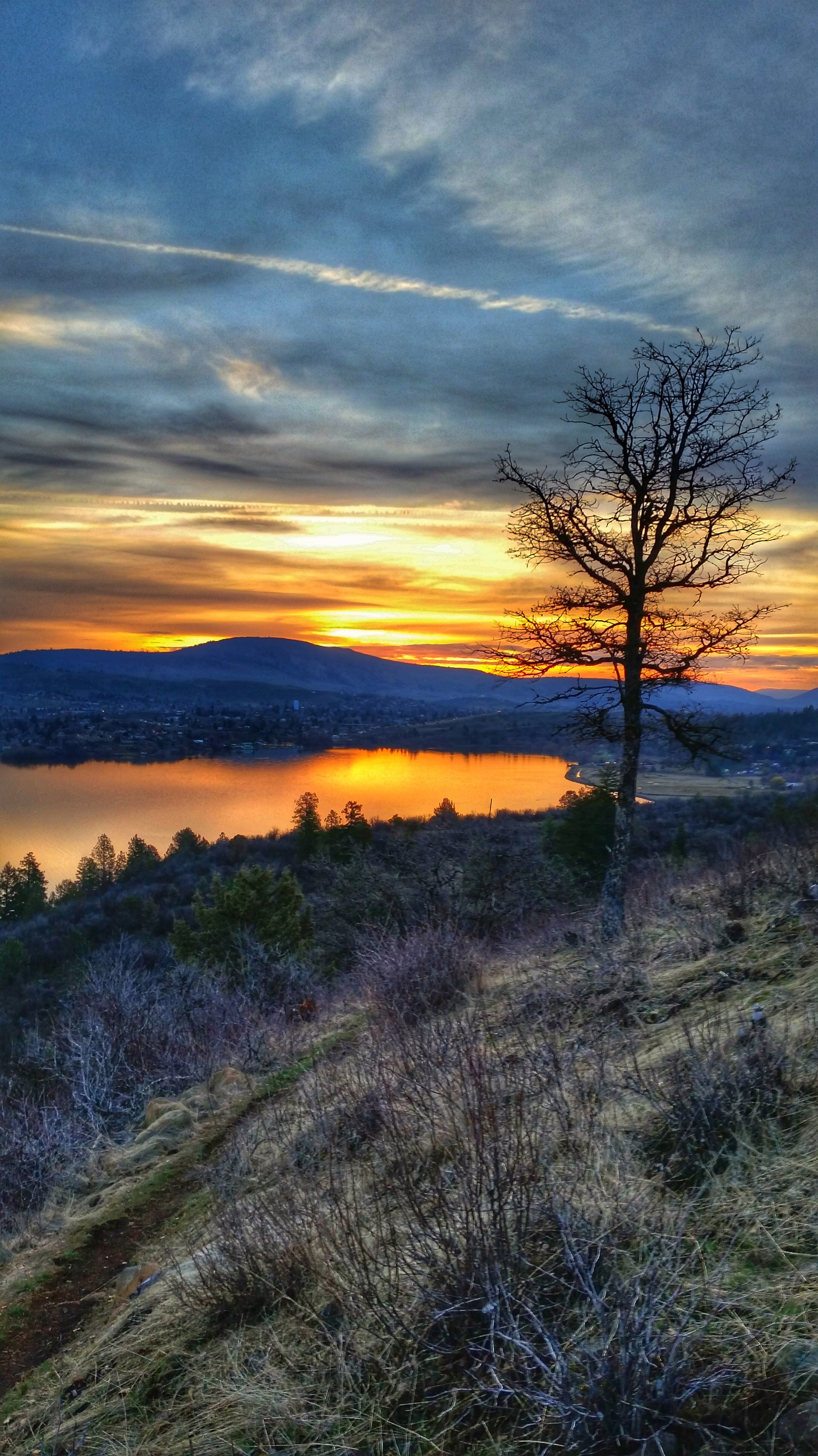
A Walk in the Park at Sunset

Hiking the Ridge View Trail
Hiking the Ridge View

Sunrise on the Sunflowers

Happy National Dog Day

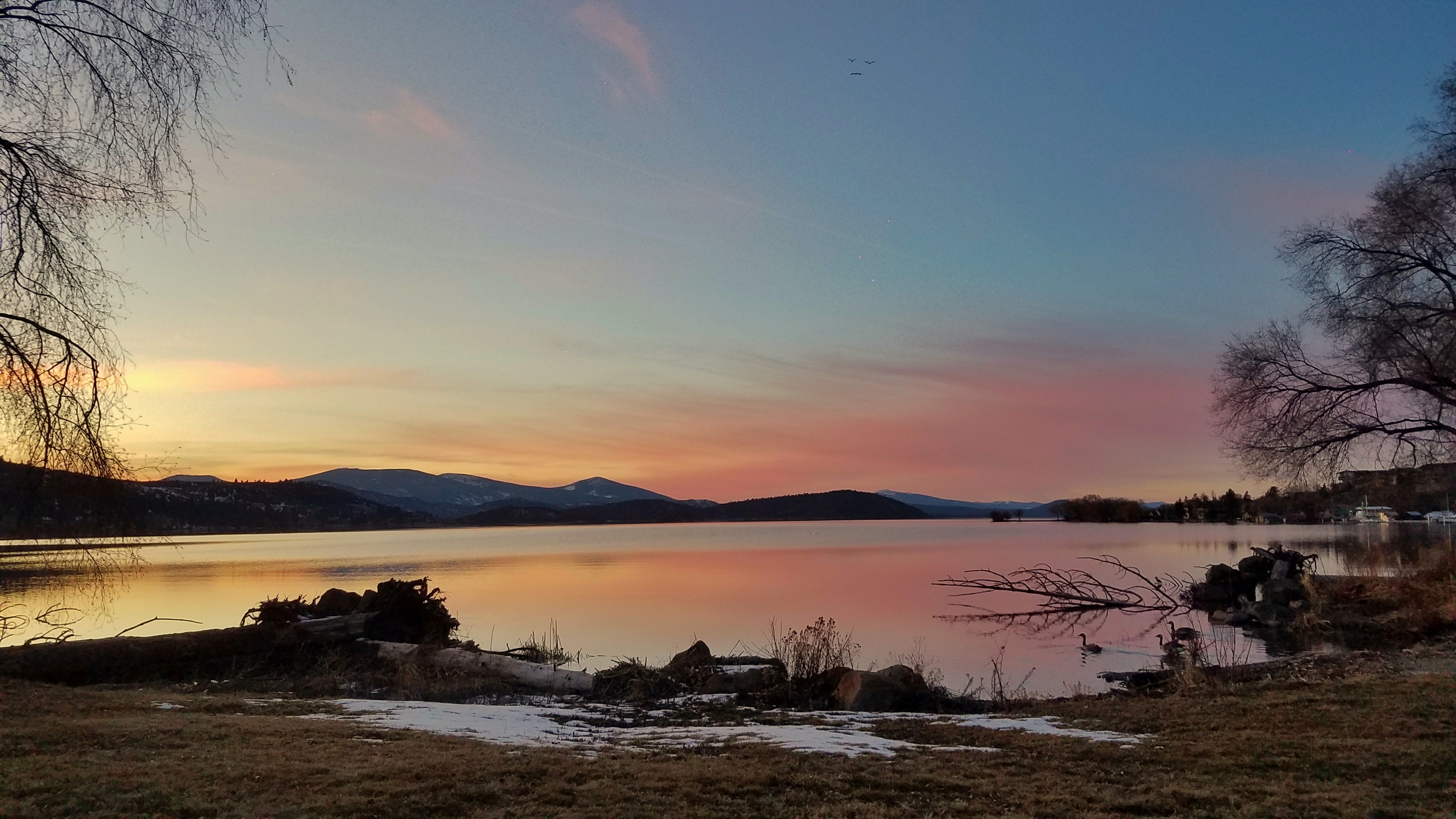
Sunset at the Lake

Riding Moore Mountain

#landscapephotography #sunnyday #shotoniphone6splus #shotoniphone #bliss #tree #clouds #klamathfalls #road #forest #eternity #serenity

A Beautiful Labor Day Weekend on the Lakeshore

Good Morning Sunday!!
Topographic Map of Preddy Ave, Klamath Falls, OR, USA
Find elevation by address:

Places near Preddy Ave, Klamath Falls, OR, USA:
2341 Cross Rd
Midland
4030 Lower Klamath Lake Rd
Stukel Mountain
20270 Lefever St
12021 Overland Dr
21180 Or-39
13615 Shamrock Ln
4000 Round Lake Rd
Keno
Merrill
18216 Freight Rd Ln
19848 Dodds Hollow Rd
Hamaker Mountain
Dorris
State Line Rd, Tulelake, CA, USA
State Line Rd, Merrill, OR, USA
2238 Ca-139
5765 Burgdorf Rd
Tulelake
Recent Searches:
- Elevation of Corso Fratelli Cairoli, 35, Macerata MC, Italy
- Elevation of Tallevast Rd, Sarasota, FL, USA
- Elevation of 4th St E, Sonoma, CA, USA
- Elevation of Black Hollow Rd, Pennsdale, PA, USA
- Elevation of Oakland Ave, Williamsport, PA, USA
- Elevation of Pedrógão Grande, Portugal
- Elevation of Klee Dr, Martinsburg, WV, USA
- Elevation of Via Roma, Pieranica CR, Italy
- Elevation of Tavkvetili Mountain, Georgia
- Elevation of Hartfords Bluff Cir, Mt Pleasant, SC, USA