Elevation of Kimlarry Lane, Kimlarry Ln, California, USA
Location: United States > California > Shasta County > Bella Vista >
Longitude: -122.02092
Latitude: 40.7460322
Elevation: 429m / 1407feet
Barometric Pressure: 96KPa
Elevation Map:
Satellite Map:
Related Photos:
Sleep Walk

Hipstamatic Jones Valley
A Good Thing
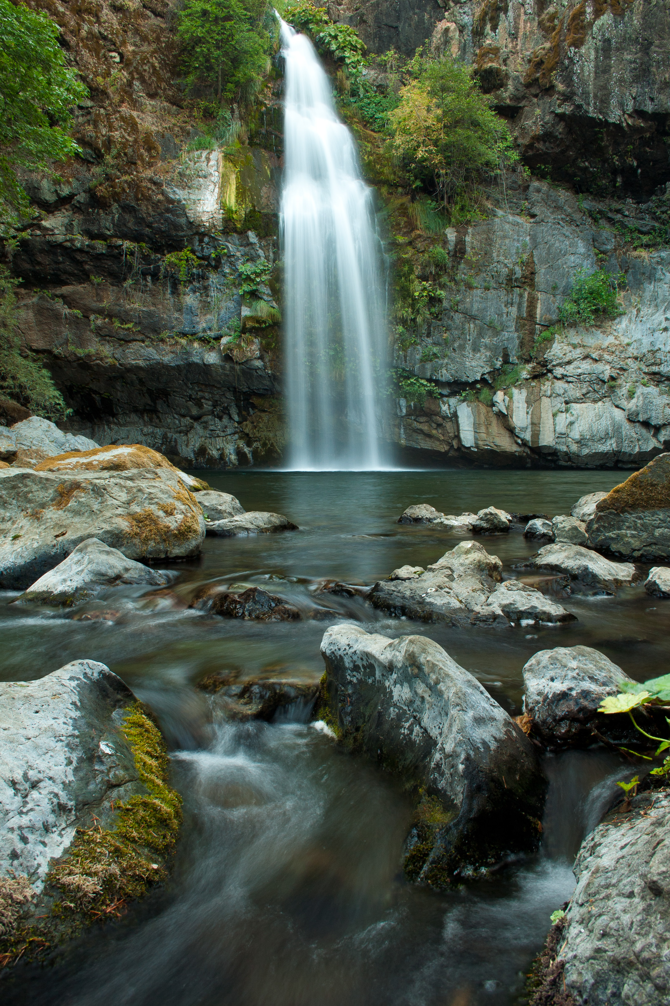
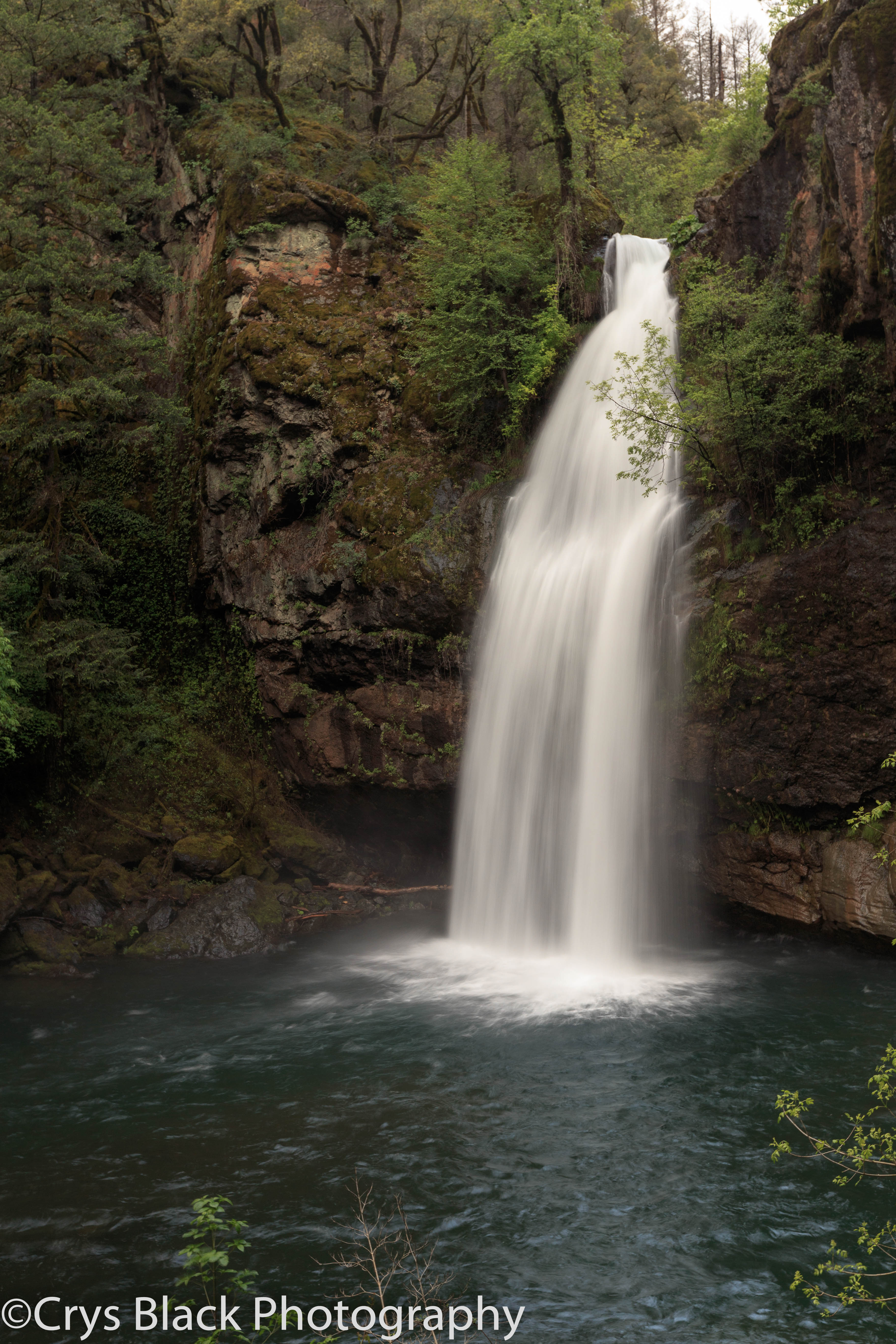
Potem Dream
Ingot's Afterthought Mine [03.30.13]
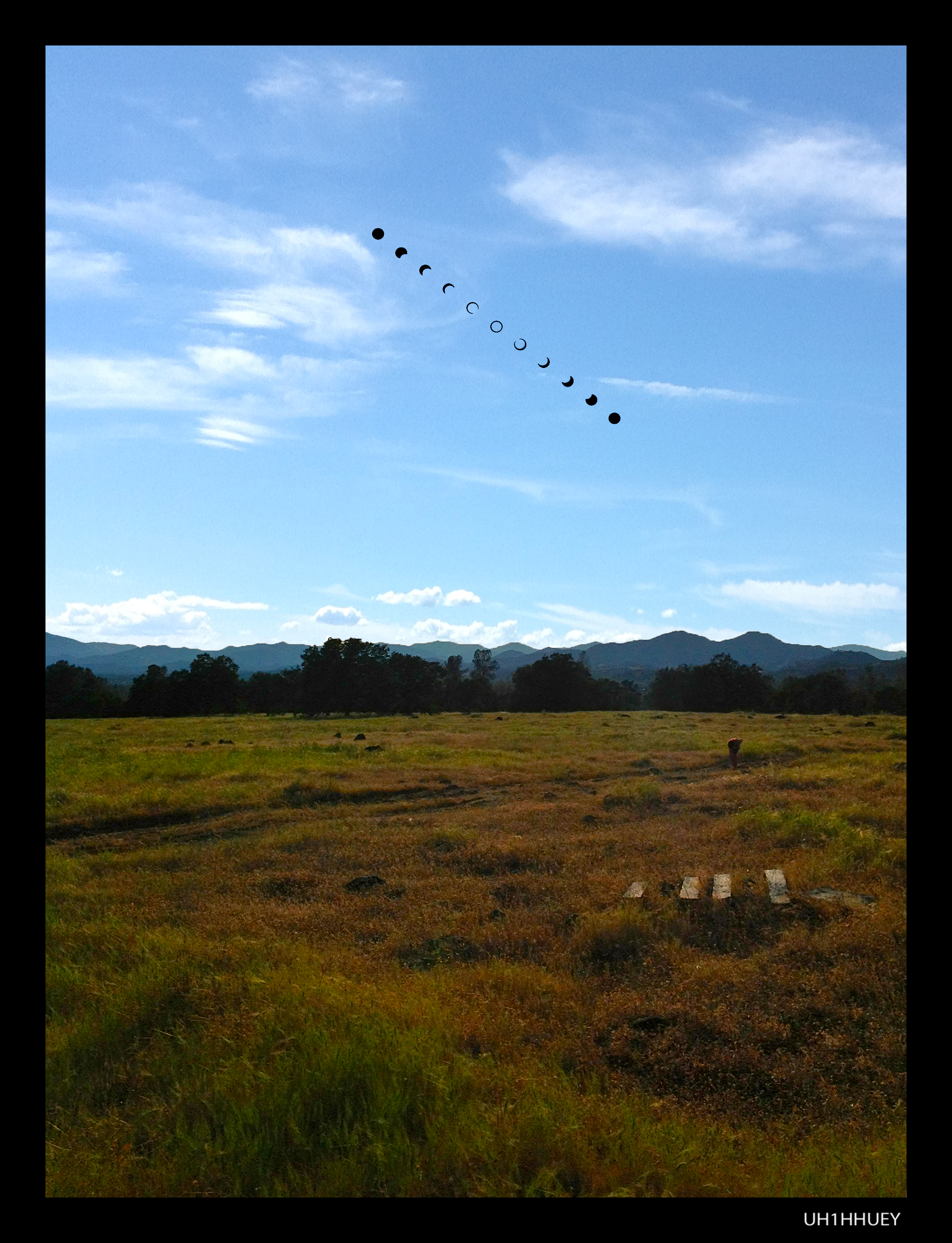
Annular Solar Eclipse May 20, 2012 (Campsite)
Don't Fence Me In

Highway 299 [03.30.13]

Kilarc Reservoir
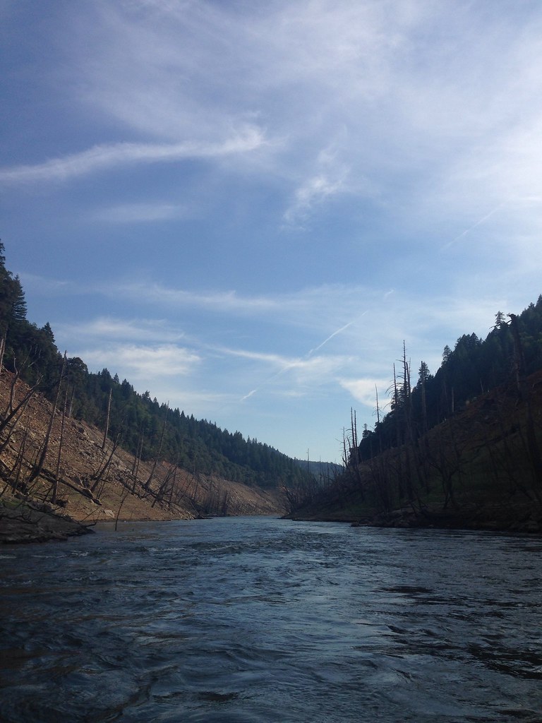
Took the boat up the river! So much fun! We spent 4 days on the boat and it was a blast. Back to work in a couple days...

_8210034.NEF

Secret Turkey Spot- decoy in place

Pit Rivet Arm of Lake Shasta
_MG_4252.jpg

CIMG0357.JPG
Route 299
Topographic Map of Kimlarry Lane, Kimlarry Ln, California, USA
Find elevation by address:

Places near Kimlarry Lane, Kimlarry Ln, California, USA:
27947 Bullskin Ridge Rd
Lookout Mountain Road
14152 Strawn Ranch Rd
27832 Oak Run To Fern Rd
Oak Run
Oak Run to Fern Rd, Oak Run, CA, USA
Oak Run Country Store
24900 Wilson Heights Rd
28187 Williams Ranch Rd
Whitmore Rd, Millville, CA, USA
Backbone Ridge
Blue Sky Road
23404 Dragon Back Rd
12952 Blue Sky Rd
15127 Bear Mountain Rd
15164 Bear Mountain Rd
14694 Ravine Rd
14694 Ravine Rd
22167 Loop Dr
14694 Bollibokka Way
Recent Searches:
- Elevation of Corso Fratelli Cairoli, 35, Macerata MC, Italy
- Elevation of Tallevast Rd, Sarasota, FL, USA
- Elevation of 4th St E, Sonoma, CA, USA
- Elevation of Black Hollow Rd, Pennsdale, PA, USA
- Elevation of Oakland Ave, Williamsport, PA, USA
- Elevation of Pedrógão Grande, Portugal
- Elevation of Klee Dr, Martinsburg, WV, USA
- Elevation of Via Roma, Pieranica CR, Italy
- Elevation of Tavkvetili Mountain, Georgia
- Elevation of Hartfords Bluff Cir, Mt Pleasant, SC, USA