Elevation of Bear Mountain Rd, Redding, CA, USA
Location: United States > California > Shasta County > Redding >
Longitude: -122.23828
Latitude: 40.730478
Elevation: 381m / 1250feet
Barometric Pressure: 97KPa
Elevation Map:
Satellite Map:
Related Photos:
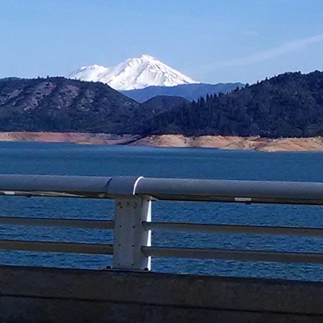
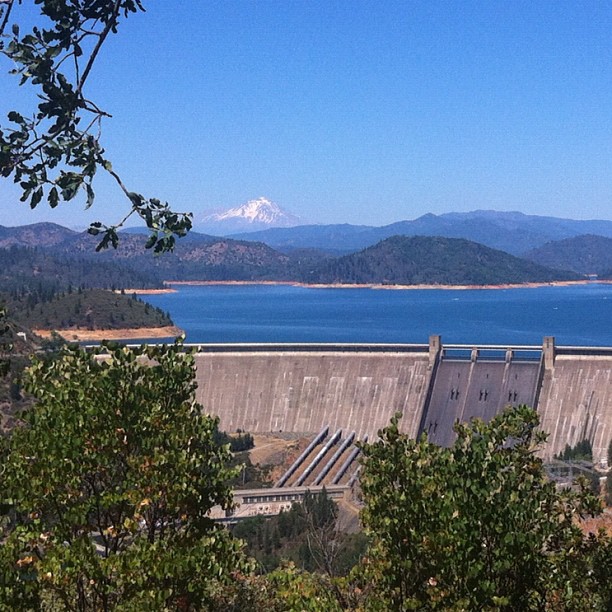
A beautiful view of Mt. Shasta from Shasta Dam.

View of Lake Shasta Fire Nov 3rd 2013, California

3 Shastas in HDR
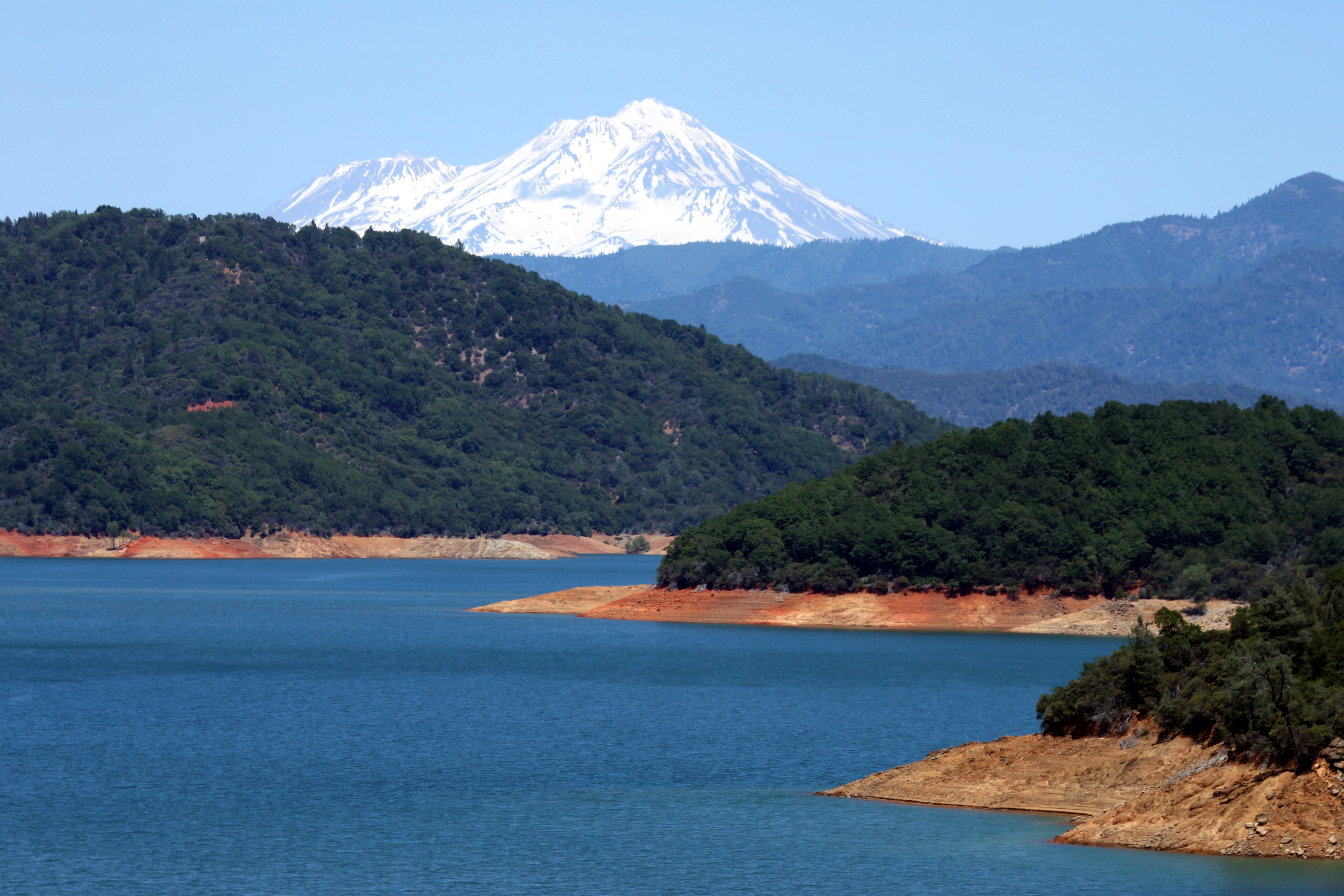
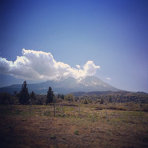
Mount Shasta

Interstate 5 Southbound Shasta Valley Freeway approaching 1/4 mile to Exit 681A - Twin View Blvd. followed by Exit 680 - State Highway Junction Route CA-299 Lake Blvd. 3/4 miles with this overhead sign located at Shasta County - Redding, California.

Mt. Shasta
The view leaving moms house today.

View from the top

Mt Lassen on the horizon

20090711 152139-16,765-10x16
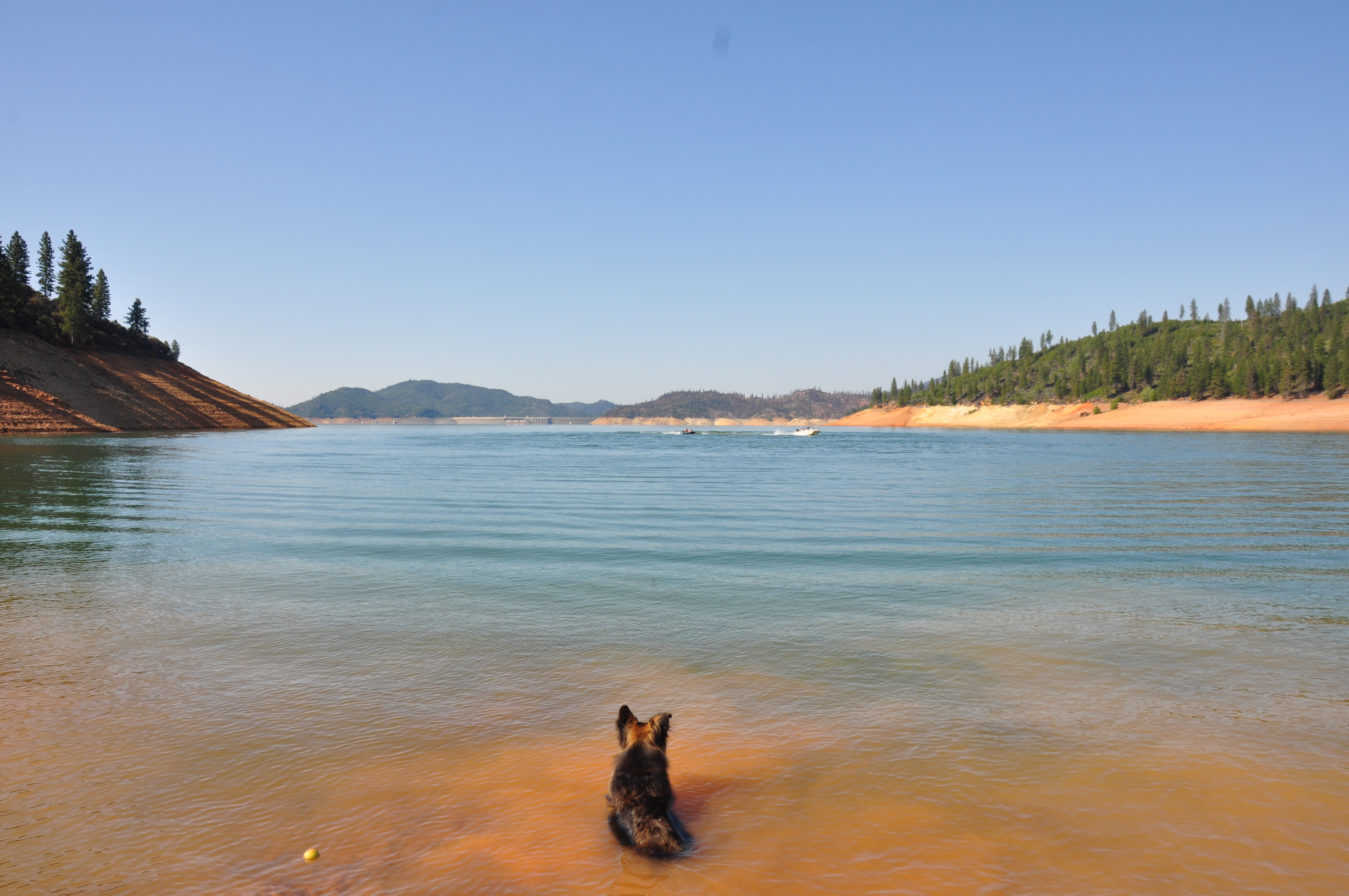
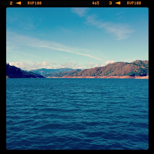
Lake Shasta, California, USA

Interstate 5 Northbound Shasta Valley Freeway approaching 1/2 mile to Exit 695 - Packers Bay Road next right with this roadside sign located at Shasta County, California. Hiking, Boat unloading dock and anchor hooking exit ahead. Forest services, hiking,
a2003-14-27

CHP - Redding Area

View at O'Brien Creek Inlet Marina
Lunch time view.

Interstate 5 Southbound Shasta Valley Freeway approaches at Exit 681A - Twin View Blvd. Exit 45 MPH with this roadside sign located at Shasta County - Redding, California.
View at O'Brien Creek Inlet

Interstate 5 Southbound Shasta Valley Freeway approaching Exit 693 - Packers Bay Road exit 1 mile + hiking, binocular wildlife viewing point, anchor hookings with this roadside sign located at Shasta County, California.
View from aft upper deck, port side
View at O'Brien Creek Inlet

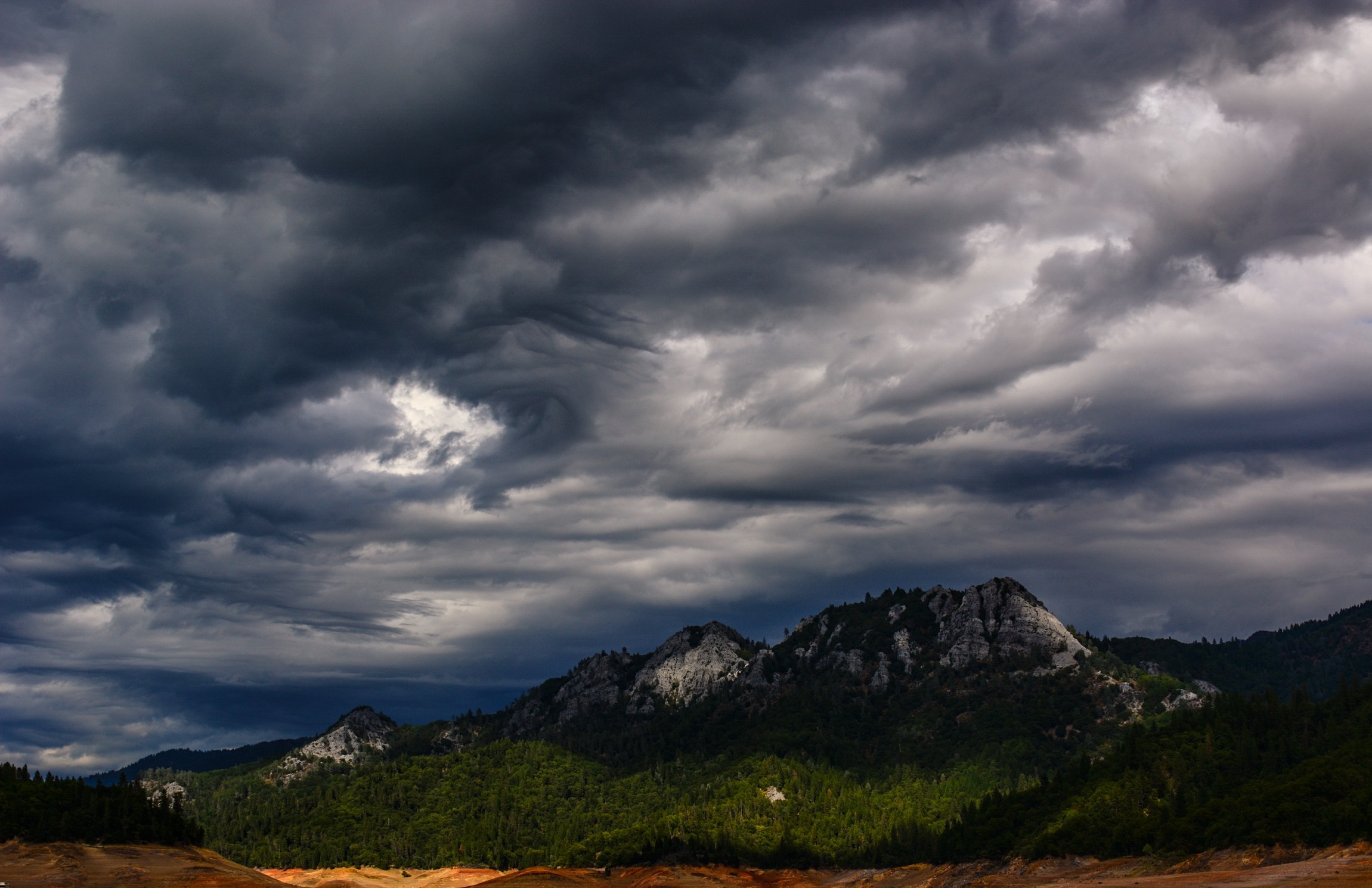
Passing Storm
Random photography
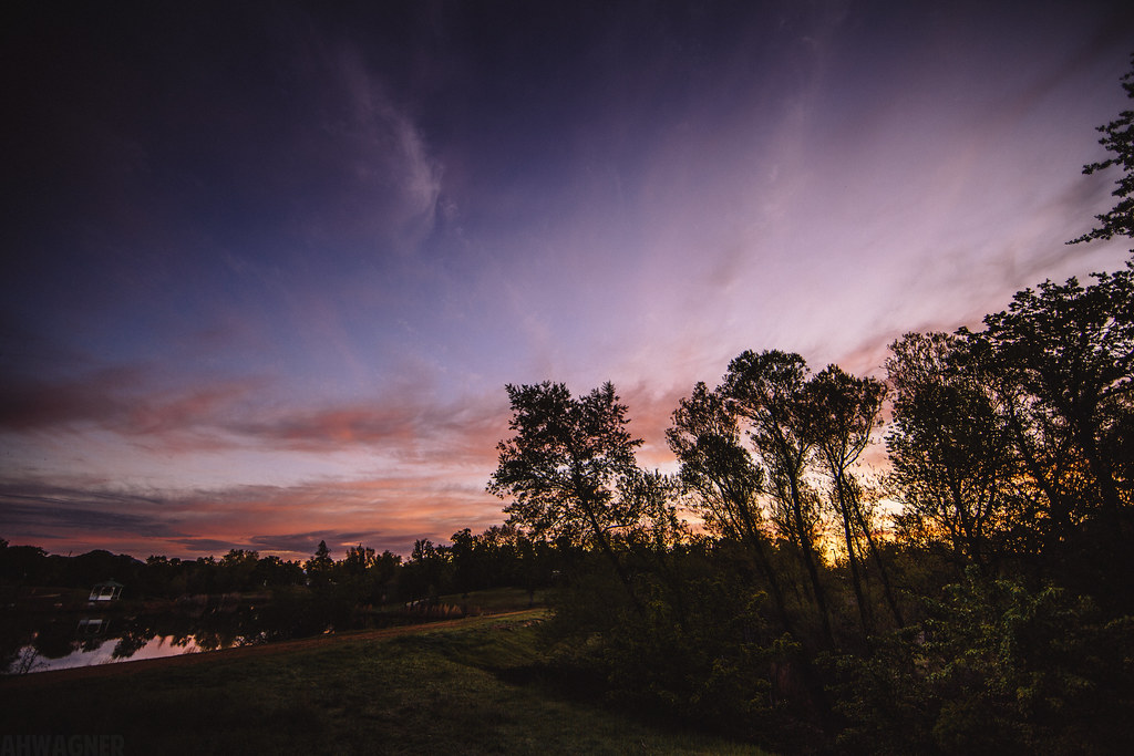
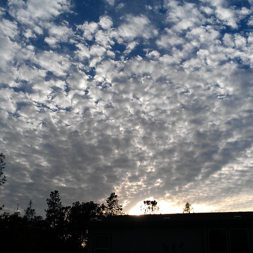
Sunrise at Simpson [03.30.13]
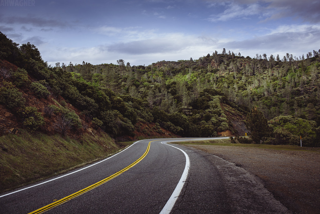
Shasta Dam Boulevard [03.28.13]
Sunrise at Simpson [03.29.13]
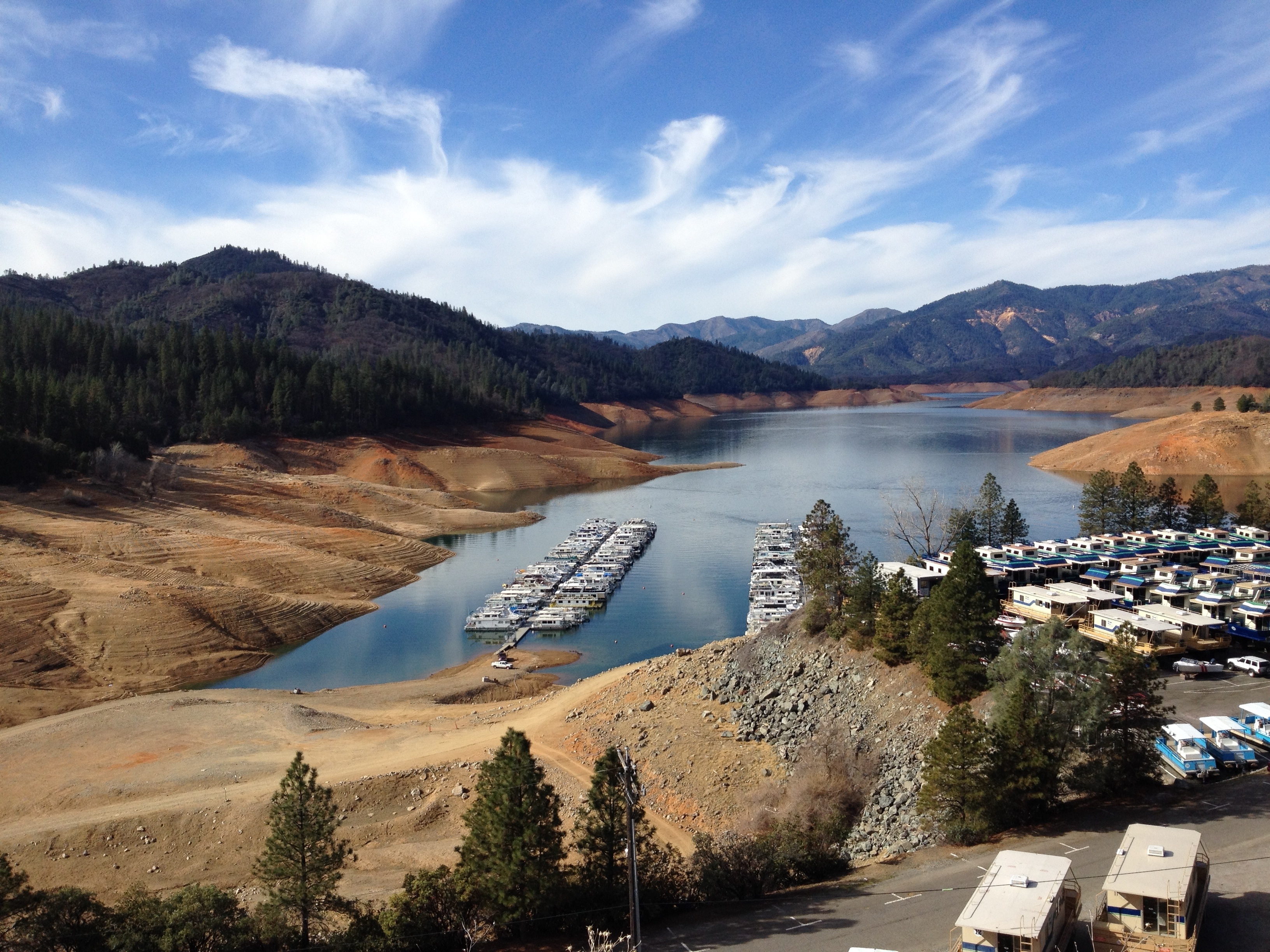
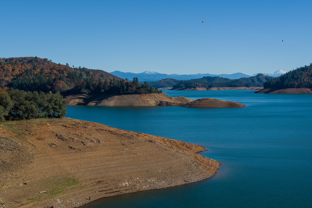
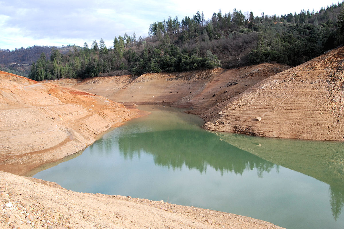
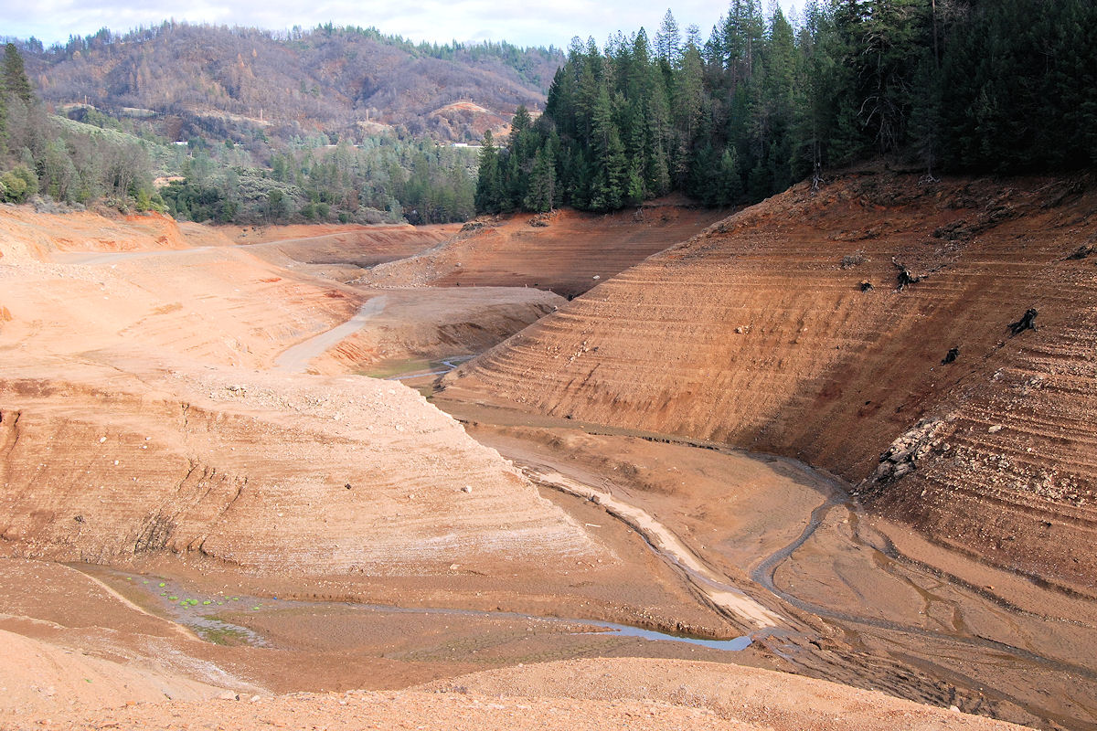
Lake Shasta is very low (Calif. drought)
Shasta Dam Boulevard [03.28.13]
Lake Shasta

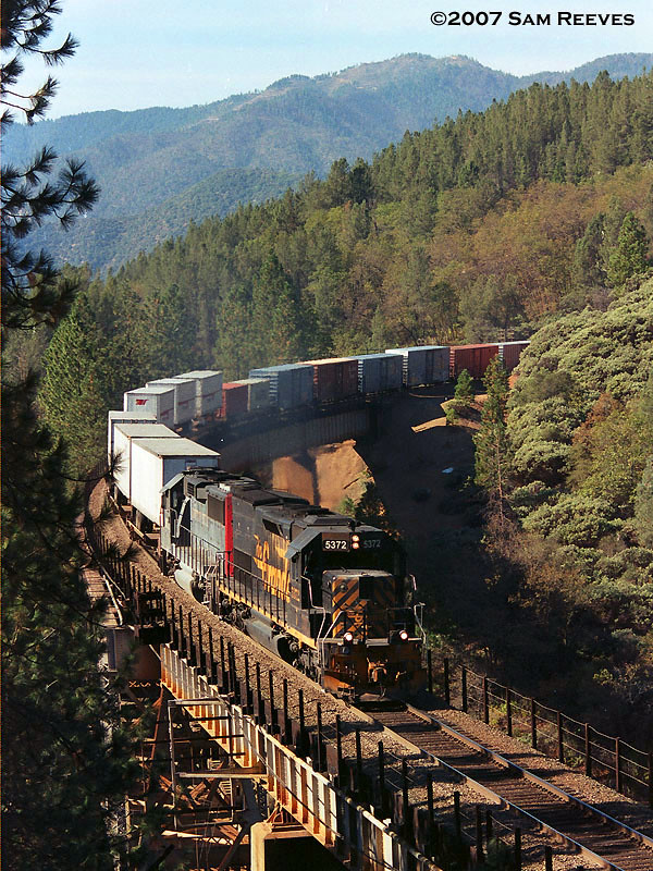
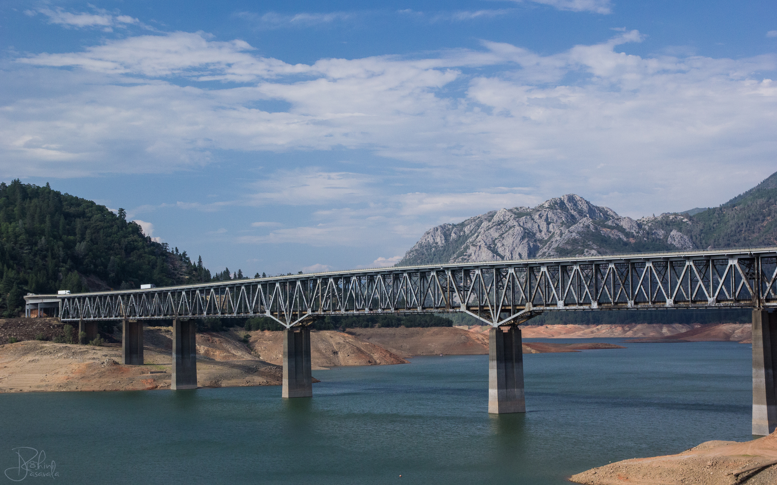
Pit River Bridge
We're on our way up to Redmond, OR, just passed Mt. Shasta! #openrange #bearcrossing #14000ft
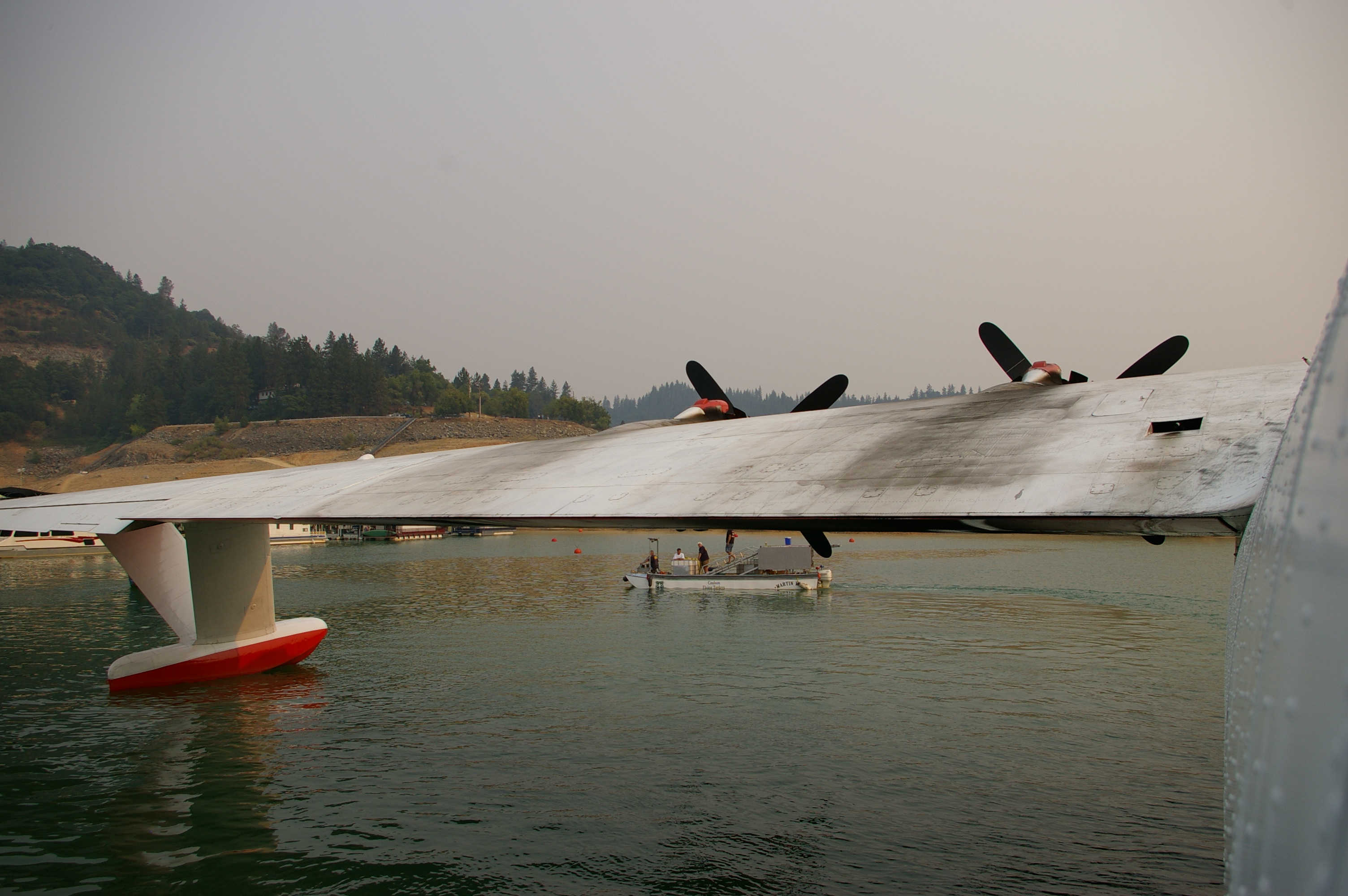
Rio Grande on Shasta Lake
2011-08-02-DSC_2497
take me
Hello Lake Shasta!
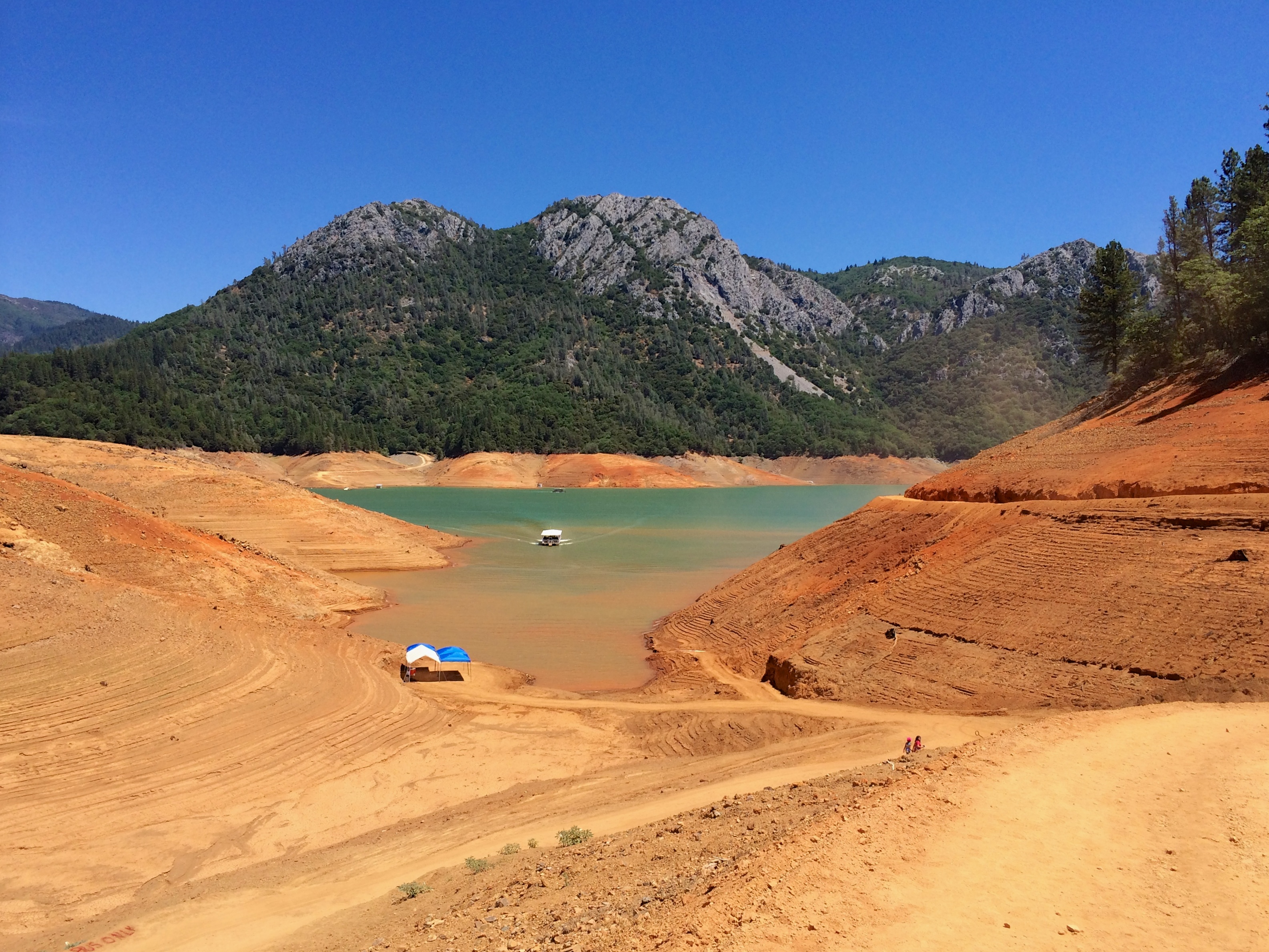
Lake Shasta is really low
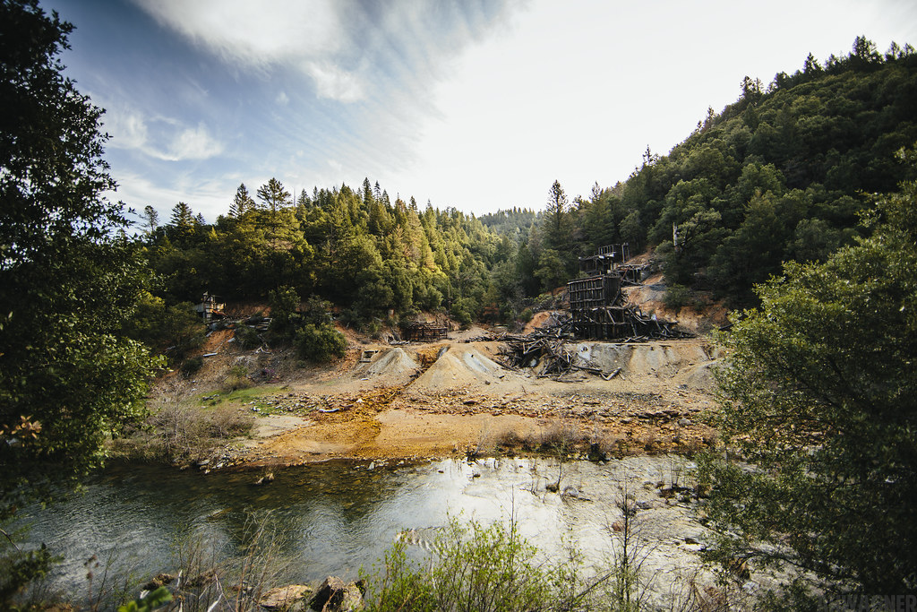
Ingot's Afterthought Mine [03.30.13]

Hipstamatic Jones Valley
Lake Shasta
Topographic Map of Bear Mountain Rd, Redding, CA, USA
Find elevation by address:

Places near Bear Mountain Rd, Redding, CA, USA:
15127 Bear Mountain Rd
14694 Bollibokka Way
22167 Loop Dr
14694 Ravine Rd
14694 Ravine Rd
Ravine Rd, Redding, CA, USA
14463 Moss Dr
21293 Jennifer Dr
21293 Jennifer Dr
13990 Oscar Pl
Bear Mountain Road
13632 Creek Trail
13632 Creek Trail
13632 Creek Trail
13632 Creek Trail
21812 Elk Trail W
21812 Elk Trail W
21812 Elk Trail W
20920 Dorothy Ln
13707 Creek Trail
Recent Searches:
- Elevation of Corso Fratelli Cairoli, 35, Macerata MC, Italy
- Elevation of Tallevast Rd, Sarasota, FL, USA
- Elevation of 4th St E, Sonoma, CA, USA
- Elevation of Black Hollow Rd, Pennsdale, PA, USA
- Elevation of Oakland Ave, Williamsport, PA, USA
- Elevation of Pedrógão Grande, Portugal
- Elevation of Klee Dr, Martinsburg, WV, USA
- Elevation of Via Roma, Pieranica CR, Italy
- Elevation of Tavkvetili Mountain, Georgia
- Elevation of Hartfords Bluff Cir, Mt Pleasant, SC, USA