Elevation of Dragon Back Rd, Bella Vista, CA, USA
Location: United States > California > Shasta County > Bella Vista >
Longitude: -122.18375
Latitude: 40.6839145
Elevation: 204m / 669feet
Barometric Pressure: 99KPa
Elevation Map:
Satellite Map:
Related Photos:

20090711 152139-16,765-10x16

View of Lake Shasta Fire Nov 3rd 2013, California

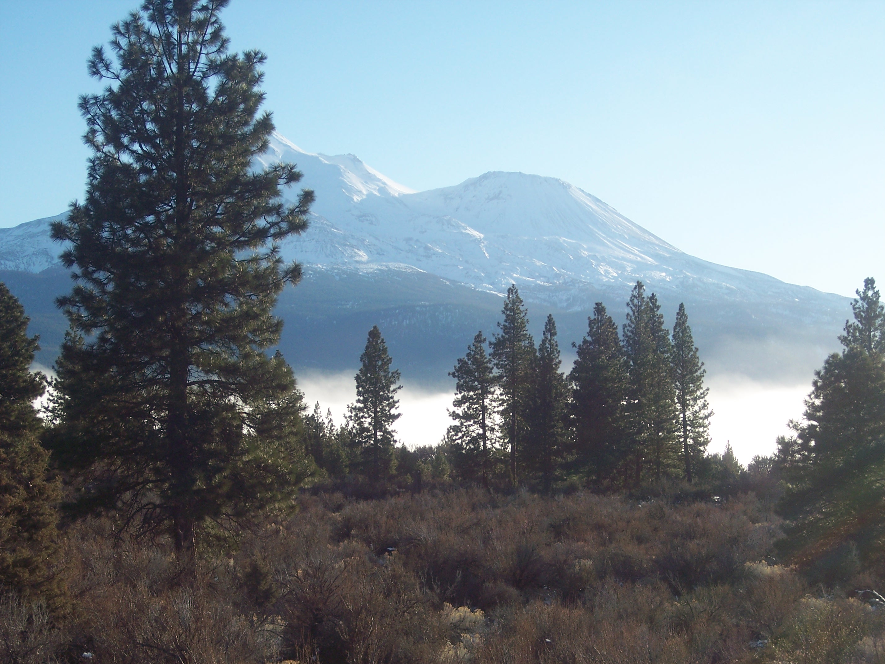
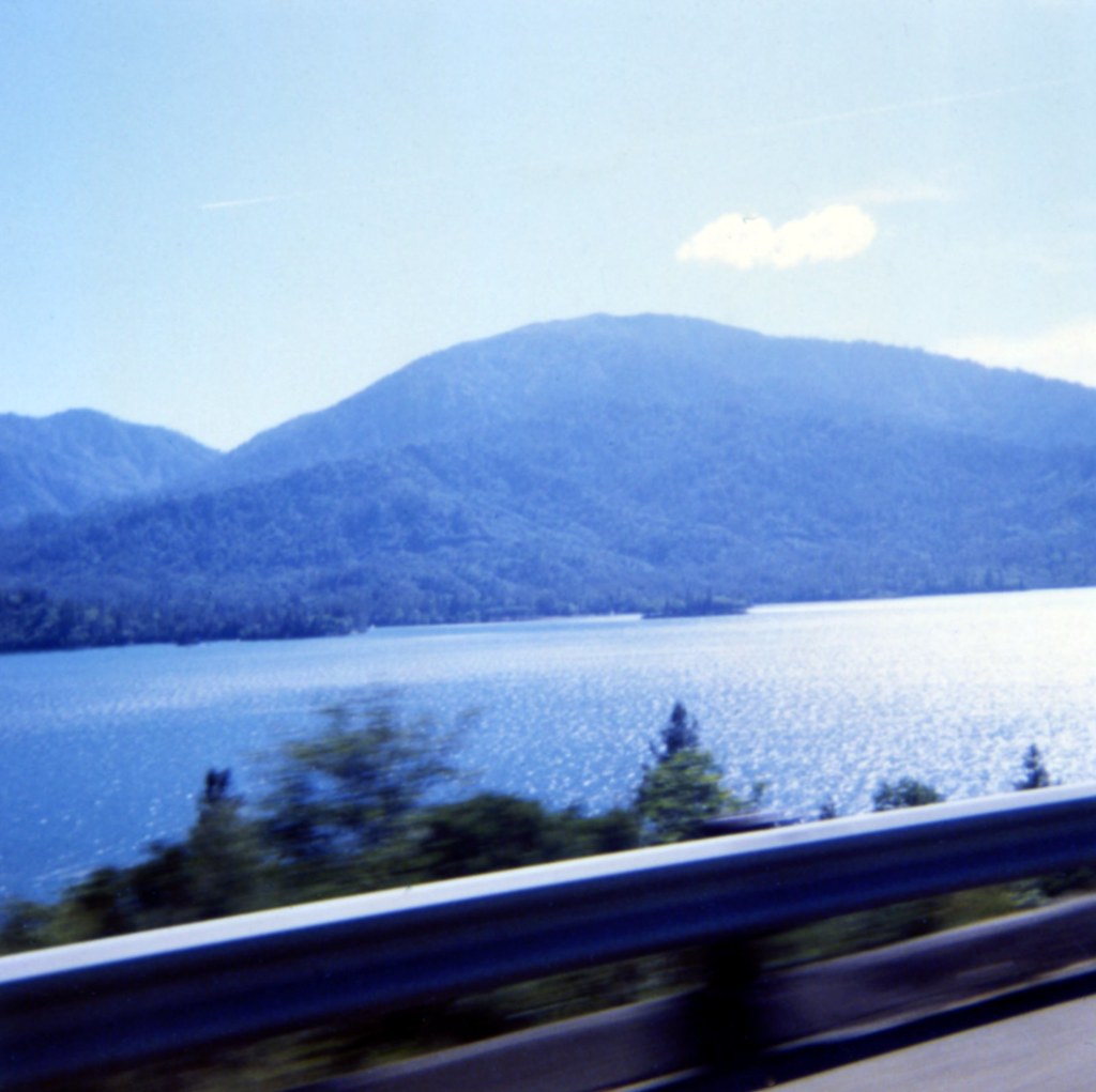
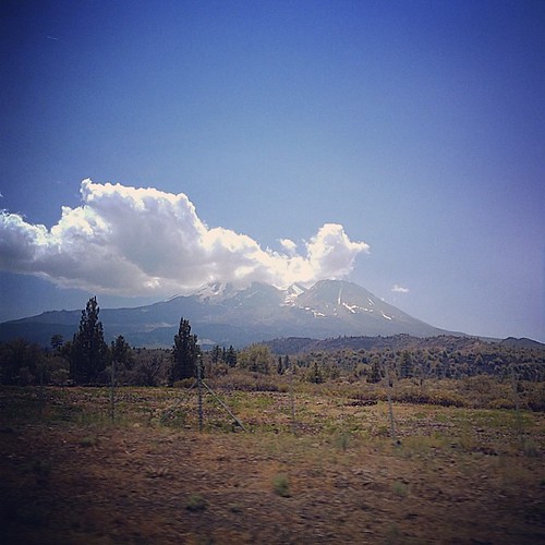
Mt Lassen on the horizon
The view leaving moms house today.
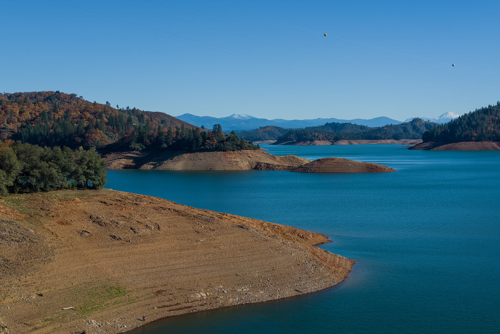
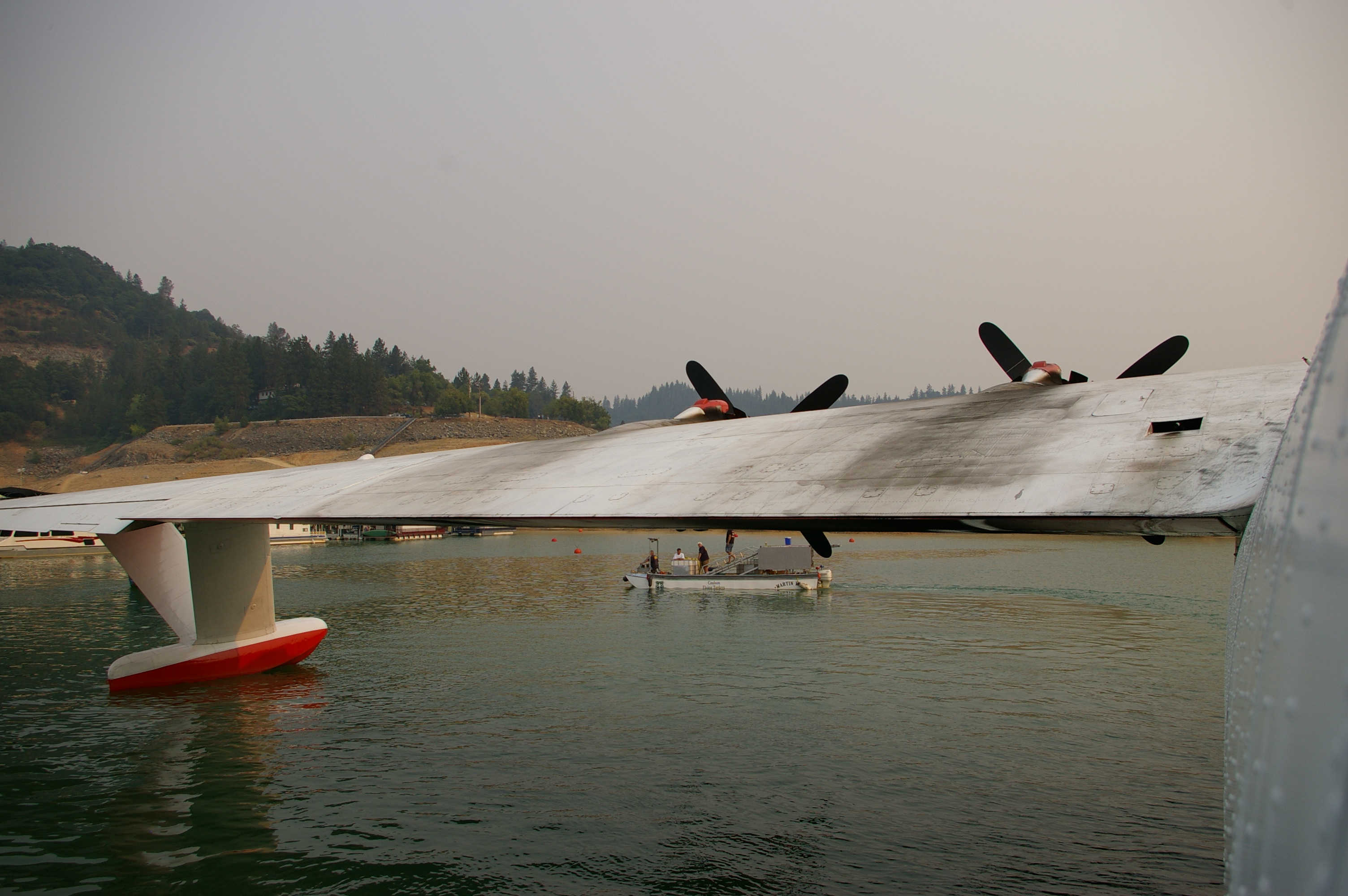
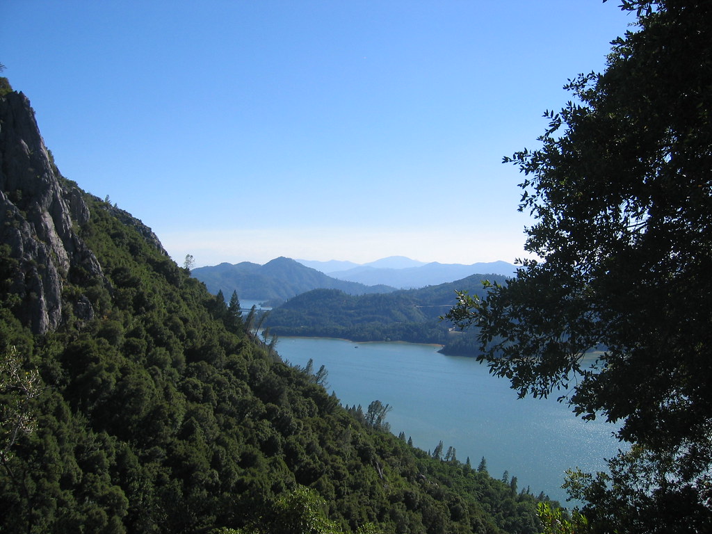
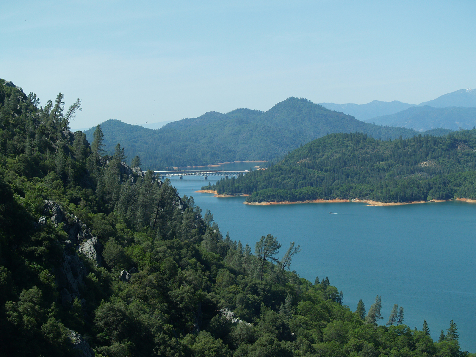
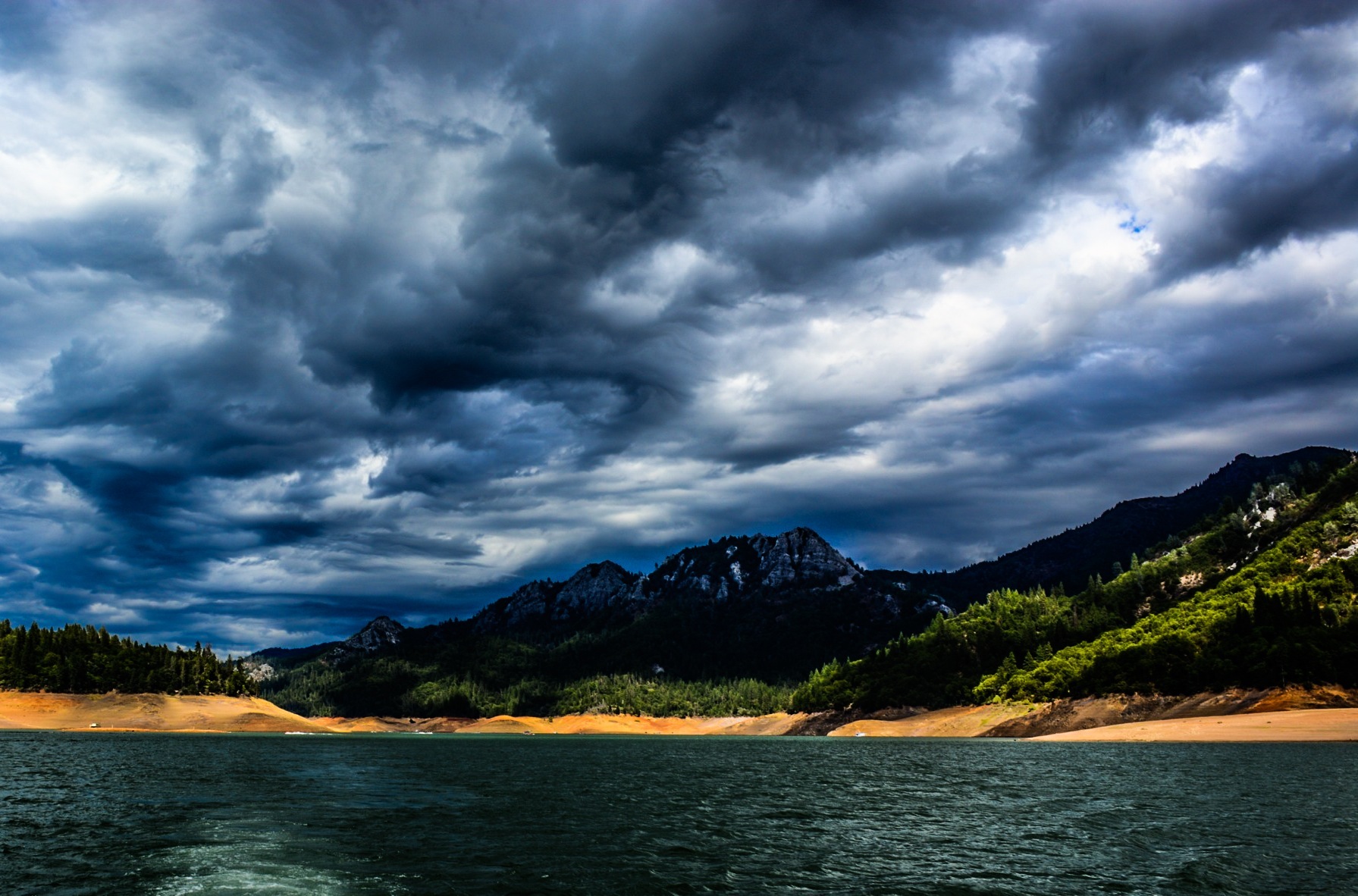
Lake Shasta, California, USA
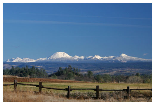
Mt. Lassen

CHP - (135) Redding Office Area
View on the way to the recycling place
View from aft upper deck, port side
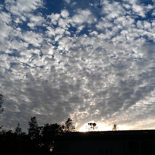
Fog from above
View on the way to the recycling place
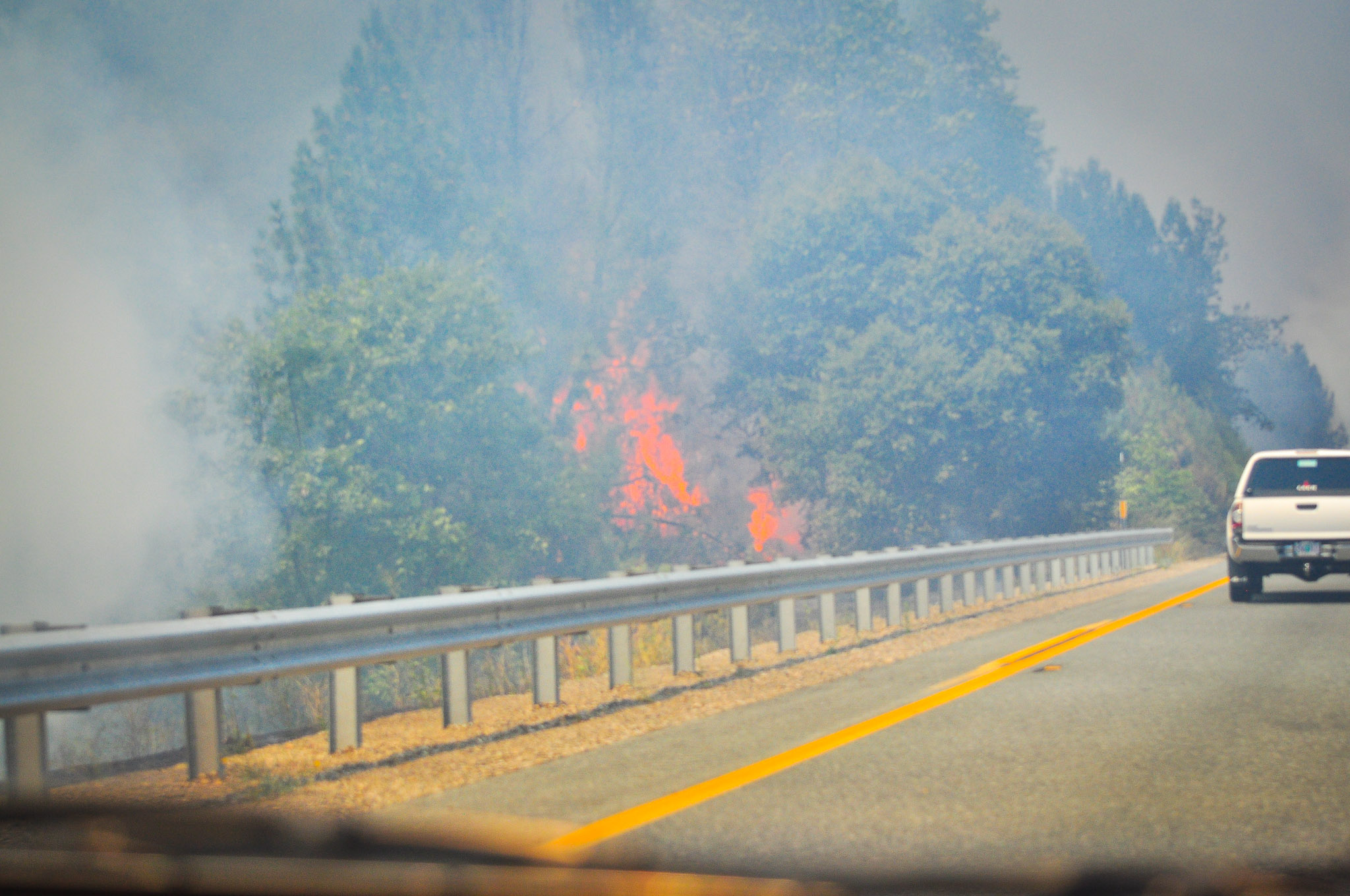
Fire to the Left IV
Looking Back
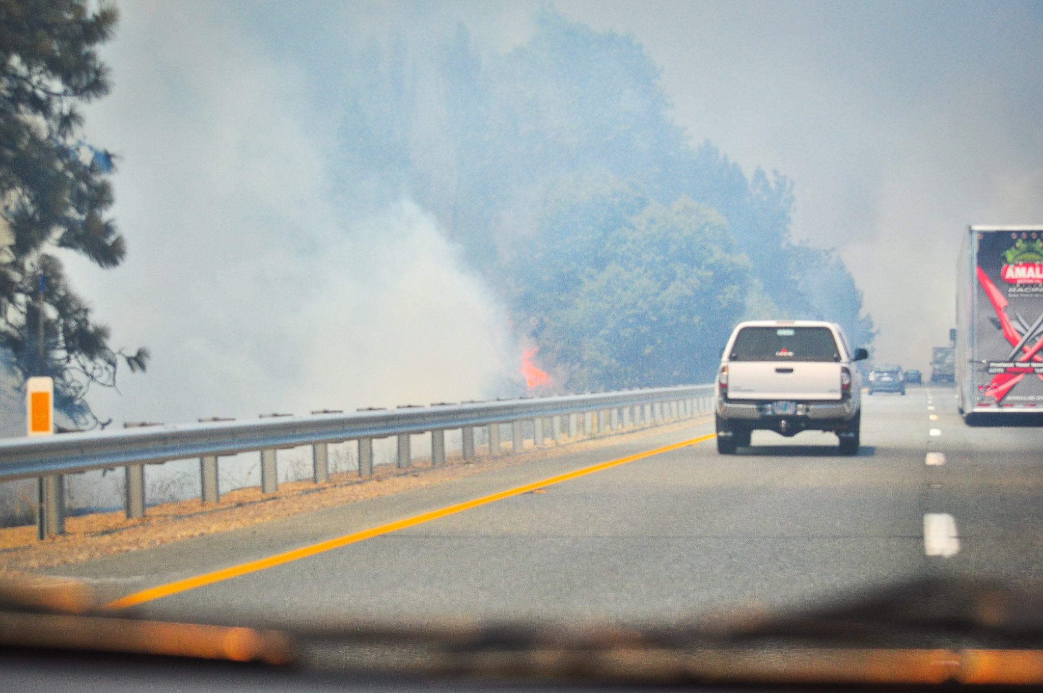
Fire to the Left III
View from the Top
IMG_5024.JPG
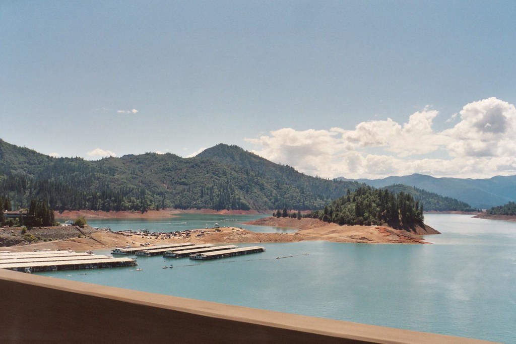
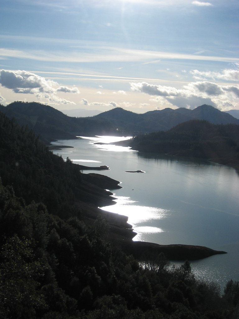
Lake Shasta
Lake Shasta from I-5

Interstate 5 Southbound Shasta Valley Freeway approaching Exit 682 - Oasis Road 1/2 mile, Exit 681B - State Highway Junction Route CA-273 Market Street 1 1/4 miles and Exit 681A - Twin View Blvd. 2 miles with this roadside sign located at Shasta County -

It may seem like small beans to everyone else, but even with no sales today 35 views and a favorite really makes me feel good. At least people are looking. #theknottyknitter #etsyshop
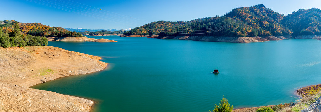
November at Shasta Lake, California [Panorama]
Lake Shasta
2011-08-02-DSC_2497

Lights/abstract
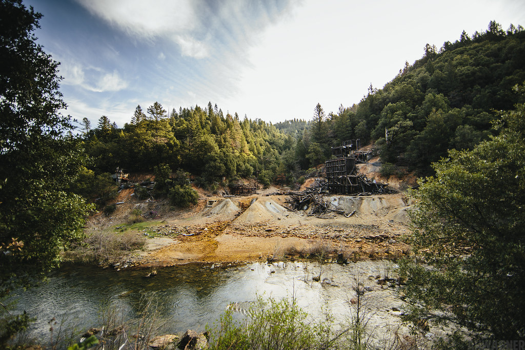
Ingot's Afterthought Mine [03.30.13]
Tree silhouette
Random photography
We're on our way up to Redmond, OR, just passed Mt. Shasta! #openrange #bearcrossing #14000ft
Random photography
Sunrise at Simpson [03.30.13]
take me
Park Lake
Hello Lake Shasta!
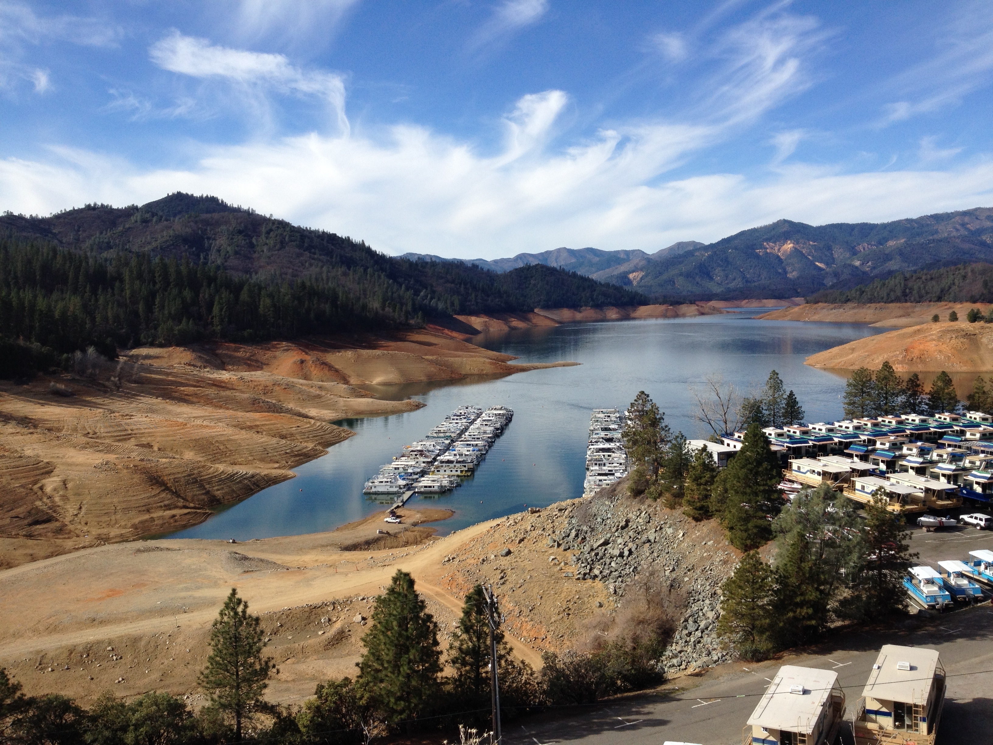
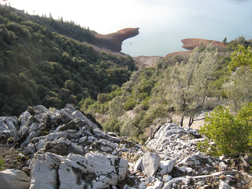
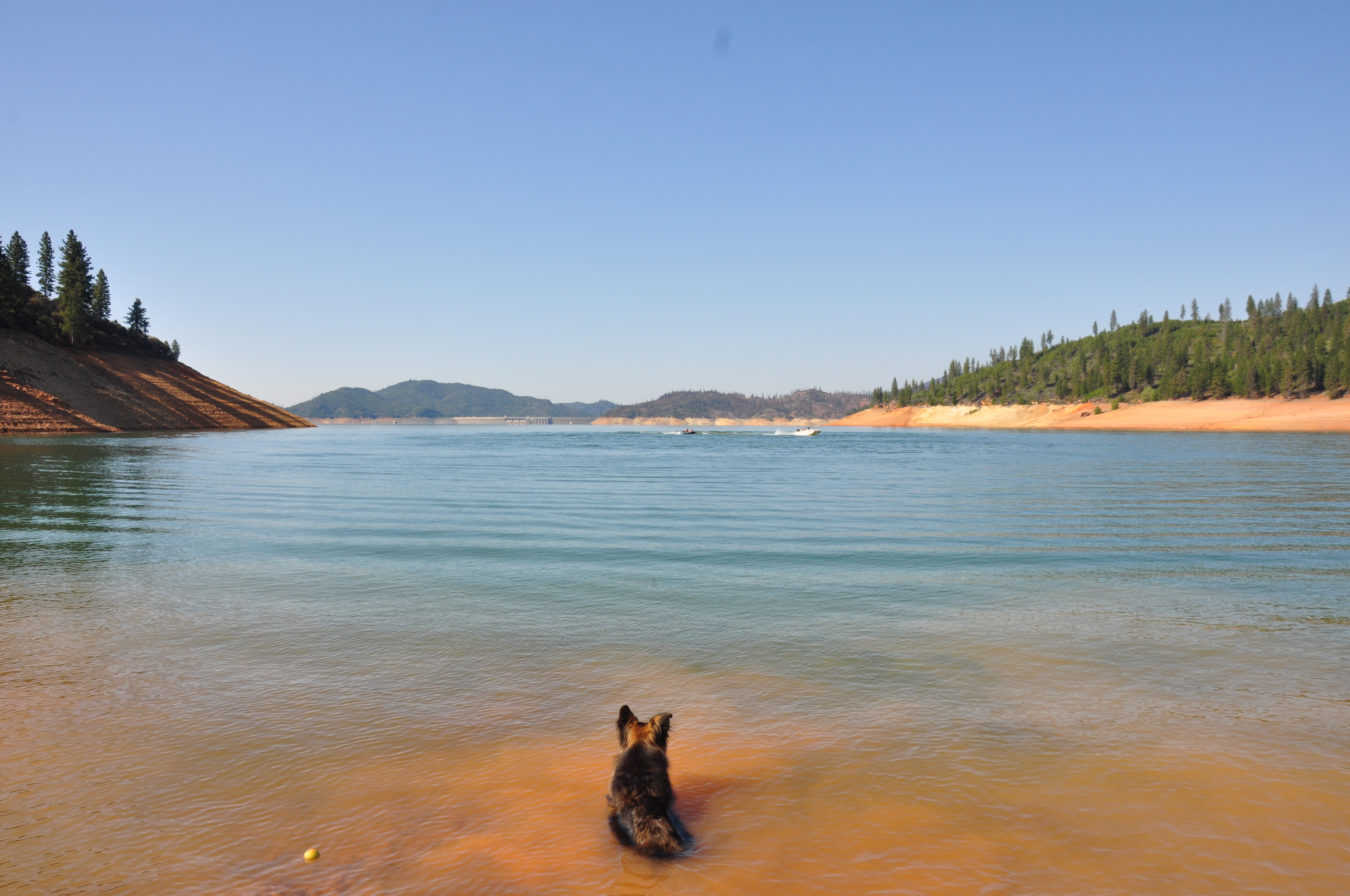
Lake Shasta is very low (Calif. drought)
Sunrise at Simpson [03.29.13]

Hipstamatic Jones Valley

Shasta Lake
a2007-24-08

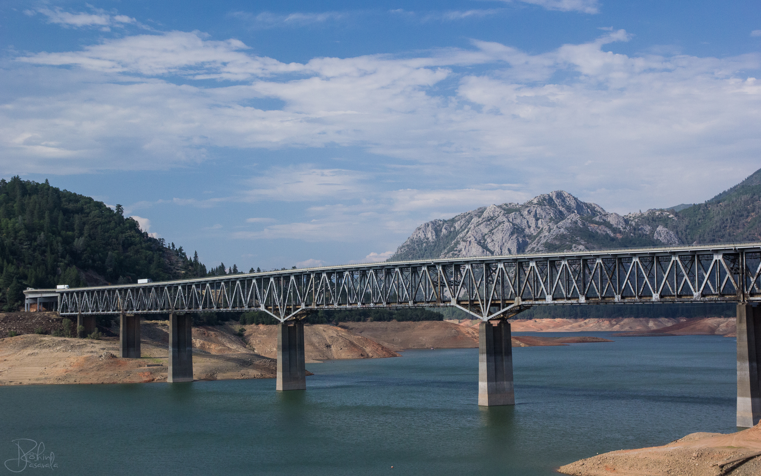
Pit River Bridge
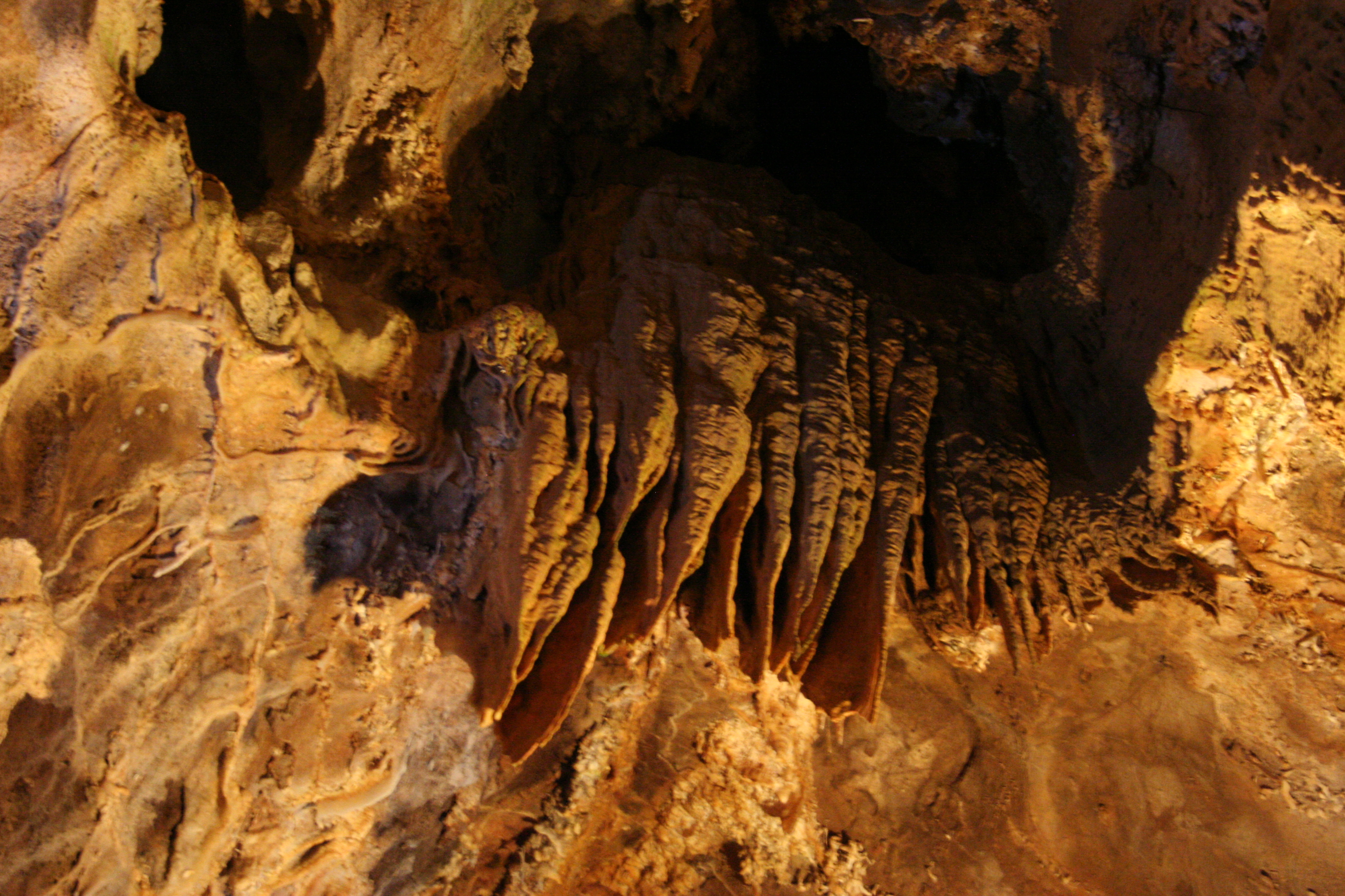
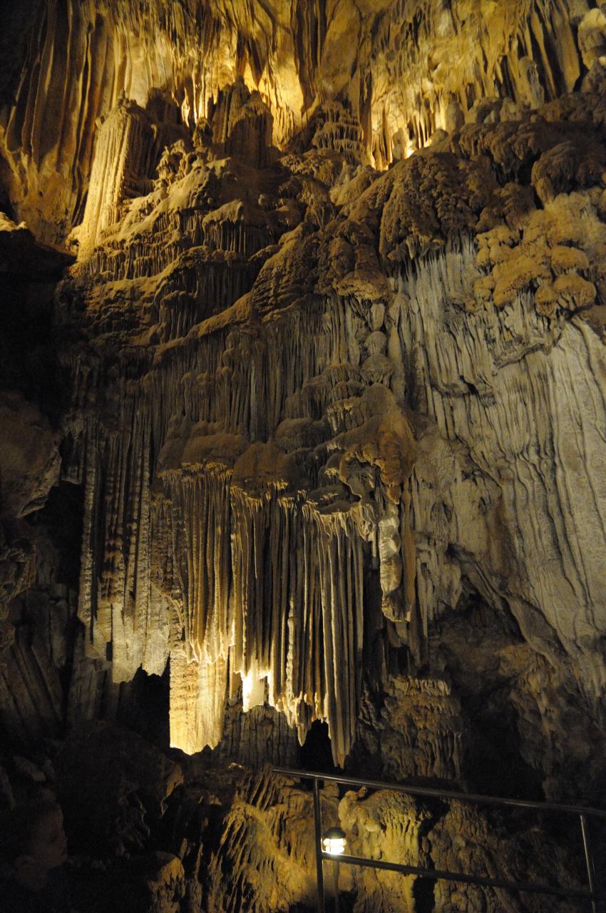
Lake Shasta Caverns
IMG_5006.JPG
Topographic Map of Dragon Back Rd, Bella Vista, CA, USA
Find elevation by address:

Places near Dragon Back Rd, Bella Vista, CA, USA:
Blue Sky Road
12952 Blue Sky Rd
Backbone Ridge
24900 Wilson Heights Rd
13167 Hidden Oaks Trail
14694 Ravine Rd
14694 Ravine Rd
22167 Loop Dr
CA-, Bella Vista, CA, USA
Ravine Rd, Redding, CA, USA
14694 Bollibokka Way
21812 Elk Trail W
21812 Elk Trail W
21812 Elk Trail W
15127 Bear Mountain Rd
15164 Bear Mountain Rd
14463 Moss Dr
13990 Oscar Pl
13707 Creek Trail
21293 Jennifer Dr
Recent Searches:
- Elevation of Corso Fratelli Cairoli, 35, Macerata MC, Italy
- Elevation of Tallevast Rd, Sarasota, FL, USA
- Elevation of 4th St E, Sonoma, CA, USA
- Elevation of Black Hollow Rd, Pennsdale, PA, USA
- Elevation of Oakland Ave, Williamsport, PA, USA
- Elevation of Pedrógão Grande, Portugal
- Elevation of Klee Dr, Martinsburg, WV, USA
- Elevation of Via Roma, Pieranica CR, Italy
- Elevation of Tavkvetili Mountain, Georgia
- Elevation of Hartfords Bluff Cir, Mt Pleasant, SC, USA