Elevation of Kibini, Kenya
Location: Kenya > Kajiado County >
Longitude: 37.2897109
Latitude: -2.122414
Elevation: 1497m / 4911feet
Barometric Pressure: 0KPa
Related Photos:
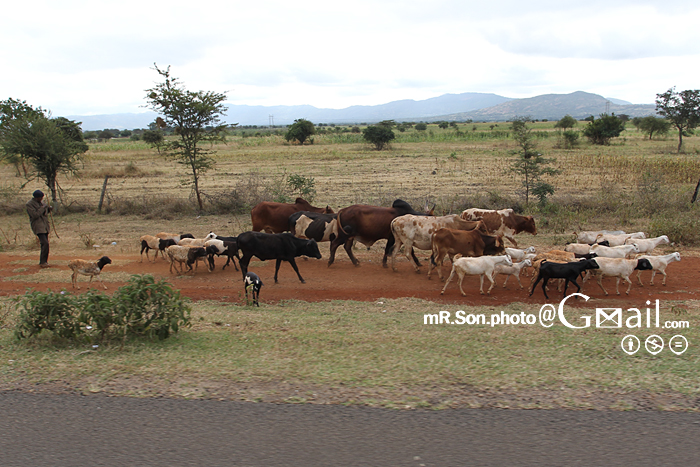
케냐/Kenya

Toalett- och dryckesstopp. Nu vidare mot #Amboseli!
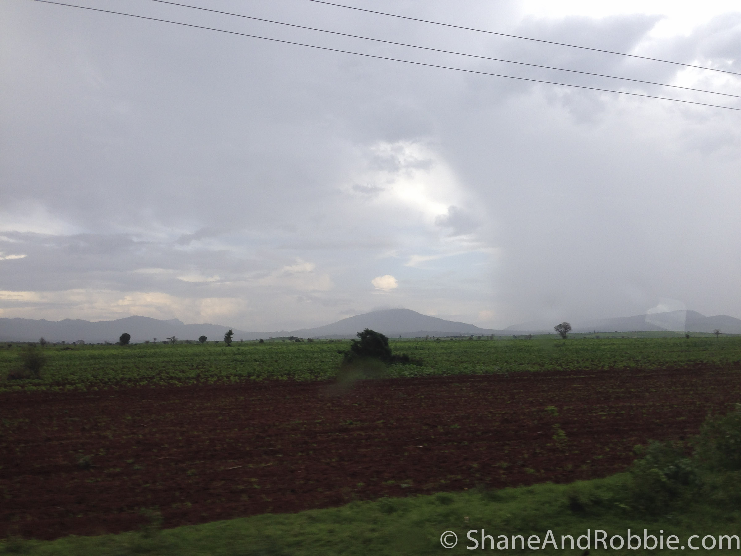
Kenya-20131214-00486(iPhone 5)

Kenya-20131214-00485(iPhone 5)
Topographic Map of Kibini, Kenya
Find elevation by address:

Places near Kibini, Kenya:
Ilmukutani Primary School
Kalamba
Kajiado County
Lake Amboseli
Amboseli National Park
Ol Tukai
Amboseli
Amboseli Serena Safari Lodge
Lianai
Kajiado
Machakos
Kibo Safari Camp
Makueni County
Kisaju
Namanga Border Crossing
Namanga
Masii
Ikalaasa
Kimana
Kitengela
Recent Searches:
- Elevation of Pasing, Munich, Bavaria, 81241, Germany
- Elevation of 24, Auburn Bay Crescent SE, Auburn Bay, Calgary, Alberta, T3M 0A6, Canada
- Elevation of Denver, 2314, Arapahoe Street, Five Points, Denver, Colorado, 80205, USA
- Elevation of Community of the Beatitudes, 2924, West 43rd Avenue, Sunnyside, Denver, Colorado, 80211, USA
- Elevation map of Litang County, Sichuan, China
- Elevation map of Madoi County, Qinghai, China
- Elevation of 3314, Ohio State Route 114, Payne, Paulding County, Ohio, 45880, USA
- Elevation of Sarahills Drive, Saratoga, Santa Clara County, California, 95070, USA
- Elevation of Town of Bombay, Franklin County, New York, USA
- Elevation of 9, Convent Lane, Center Moriches, Suffolk County, New York, 11934, USA
- Elevation of Saint Angelas Convent, 9, Convent Lane, Center Moriches, Suffolk County, New York, 11934, USA
- Elevation of 131st Street Southwest, Mukilteo, Snohomish County, Washington, 98275, USA
- Elevation of 304, Harrison Road, Naples, Cumberland County, Maine, 04055, USA
- Elevation of 2362, Timber Ridge Road, Harrisburg, Cabarrus County, North Carolina, 28075, USA
- Elevation of Ridge Road, Marshalltown, Marshall County, Iowa, 50158, USA
- Elevation of 2459, Misty Shadows Drive, Pigeon Forge, Sevier County, Tennessee, 37862, USA
- Elevation of 8043, Brightwater Way, Spring Hill, Williamson County, Tennessee, 37179, USA
- Elevation of Starkweather Road, San Luis, Costilla County, Colorado, 81152, USA
- Elevation of 5277, Woodside Drive, Baton Rouge, East Baton Rouge Parish, Louisiana, 70808, USA
- Elevation of 1139, Curtin Street, Shepherd Park Plaza, Houston, Harris County, Texas, 77018, USA