Elevation of Kalamba, Kenya
Location: Kenya >
Longitude: 37.524138
Latitude: -1.8792614
Elevation: 1139m / 3737feet
Barometric Pressure: 88KPa
Elevation Map:
Satellite Map:
Related Photos:
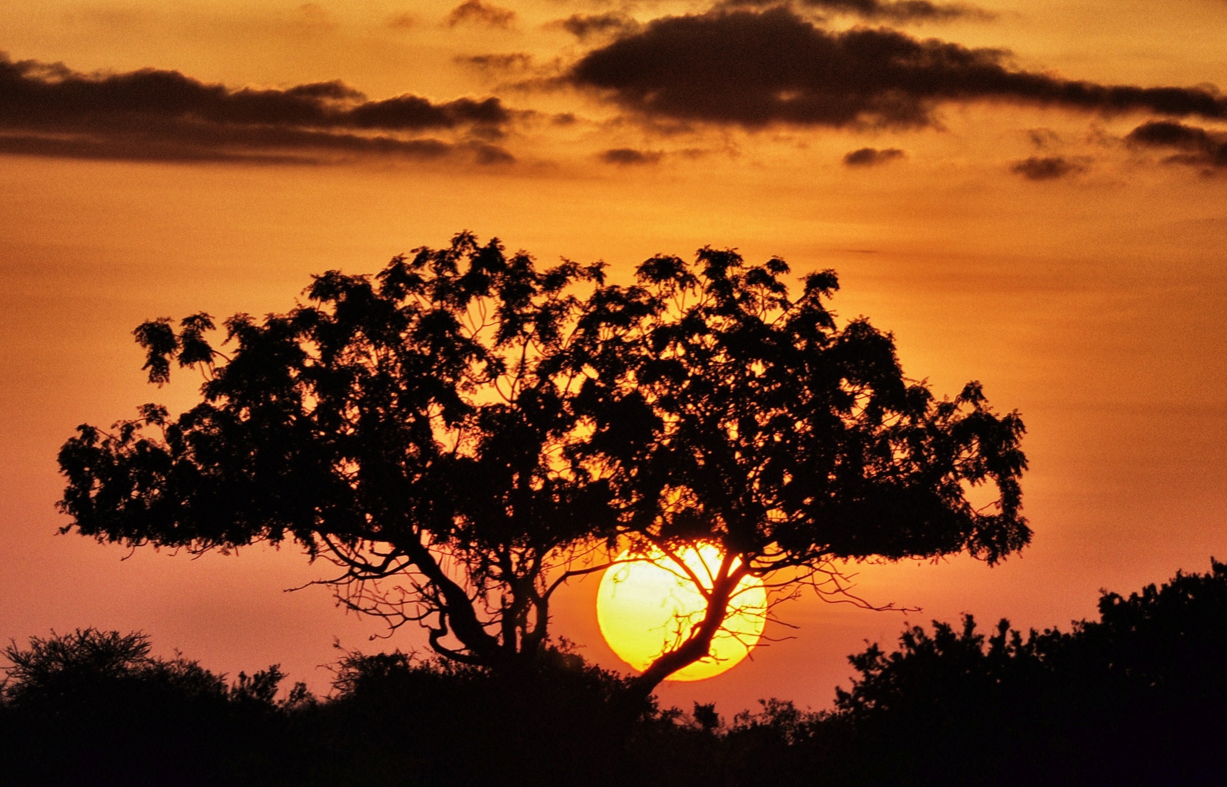
Sunrise over Tsvao East
Topographic Map of Kalamba, Kenya
Find elevation by address:

Places near Kalamba, Kenya:
Kibini
Ilmukutani Primary School
Ikalaasa
Masii
Machakos
Makueni County
Athi River
Kitengela
Kisaju
Kajiado
Kitengela
Kajiado County
Olooloitikosh
Amboseli National Park
Ol Tukai
Amboseli Serena Safari Lodge
Lake Amboseli
Amboseli
Kibo Safari Camp
Lianai
Recent Searches:
- Elevation of Corso Fratelli Cairoli, 35, Macerata MC, Italy
- Elevation of Tallevast Rd, Sarasota, FL, USA
- Elevation of 4th St E, Sonoma, CA, USA
- Elevation of Black Hollow Rd, Pennsdale, PA, USA
- Elevation of Oakland Ave, Williamsport, PA, USA
- Elevation of Pedrógão Grande, Portugal
- Elevation of Klee Dr, Martinsburg, WV, USA
- Elevation of Via Roma, Pieranica CR, Italy
- Elevation of Tavkvetili Mountain, Georgia
- Elevation of Hartfords Bluff Cir, Mt Pleasant, SC, USA